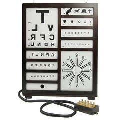
Graphic Illuminated Eye Chart
View Similar Items


1 of 5
Graphic Illuminated Eye Chart
About the Item
- Dimensions:Height: 25.5 in (64.77 cm)Width: 20 in (50.8 cm)Depth: 8 in (20.32 cm)
- Materials and Techniques:
- Place of Origin:
- Period:
- Date of Manufacture:1920 - 1930's
- Condition:Wear consistent with age and use. Very good vintage condition.
- Seller Location:Chicago, IL
- Reference Number:1stDibs: LU94351056208
You May Also Like
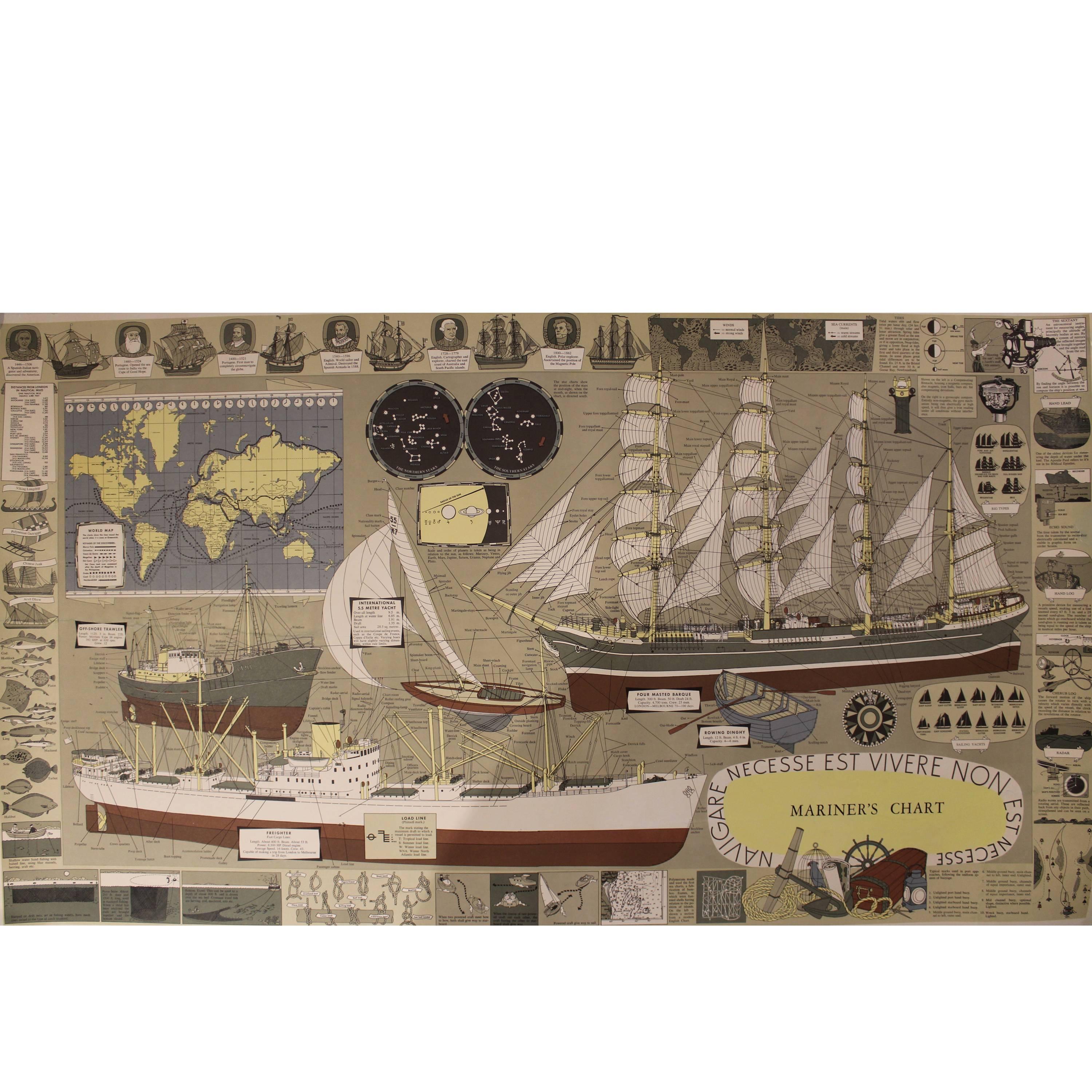
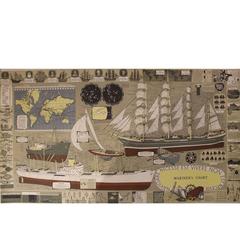
- Mariner's Chart PosterLocated in Hamilton, OntarioMariner's chart poster (nautical).Category
20th Century Posters
 $1,795 Sale Price20% Off
 - Antique Zoological Wall ChartLocated in Oakville, CTAntique Pfurtscheller wall chart Overall Dimensions: 53" x 56" Chart Dimensions: 50 1/2" x 56 Materials: Paper & Linen.Category
Antique Late 19th Century Austrian Posters
MaterialsLinen, Paper
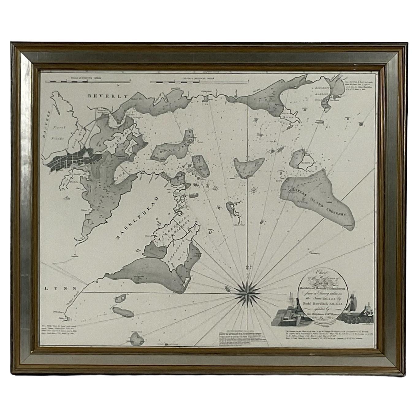
- Chart of Boston's North ShoreLocated in Norwell, MARarely found restrike of an 1804 chart by Nathanael Bowditch of the Harbors of Salem, Marblehead, Beverly, and Manchester. Showing the Islands of Great Misery, Satan, Cuney, Winter,...Category
Vintage 1980s North American Maps
MaterialsPaper
- Antique Nautical Chart Brass MagnifiersLocated in New York, NYEach with domed glass set within a brass surround. Of large size. Dimensions: One: Height: 4 x Diameter: 8.5 inchesThe Other: Height: 4.5 x Diameter: 11 inchesCategory
Early 20th Century Nautical Objects
MaterialsBrass
 $2,000 / set
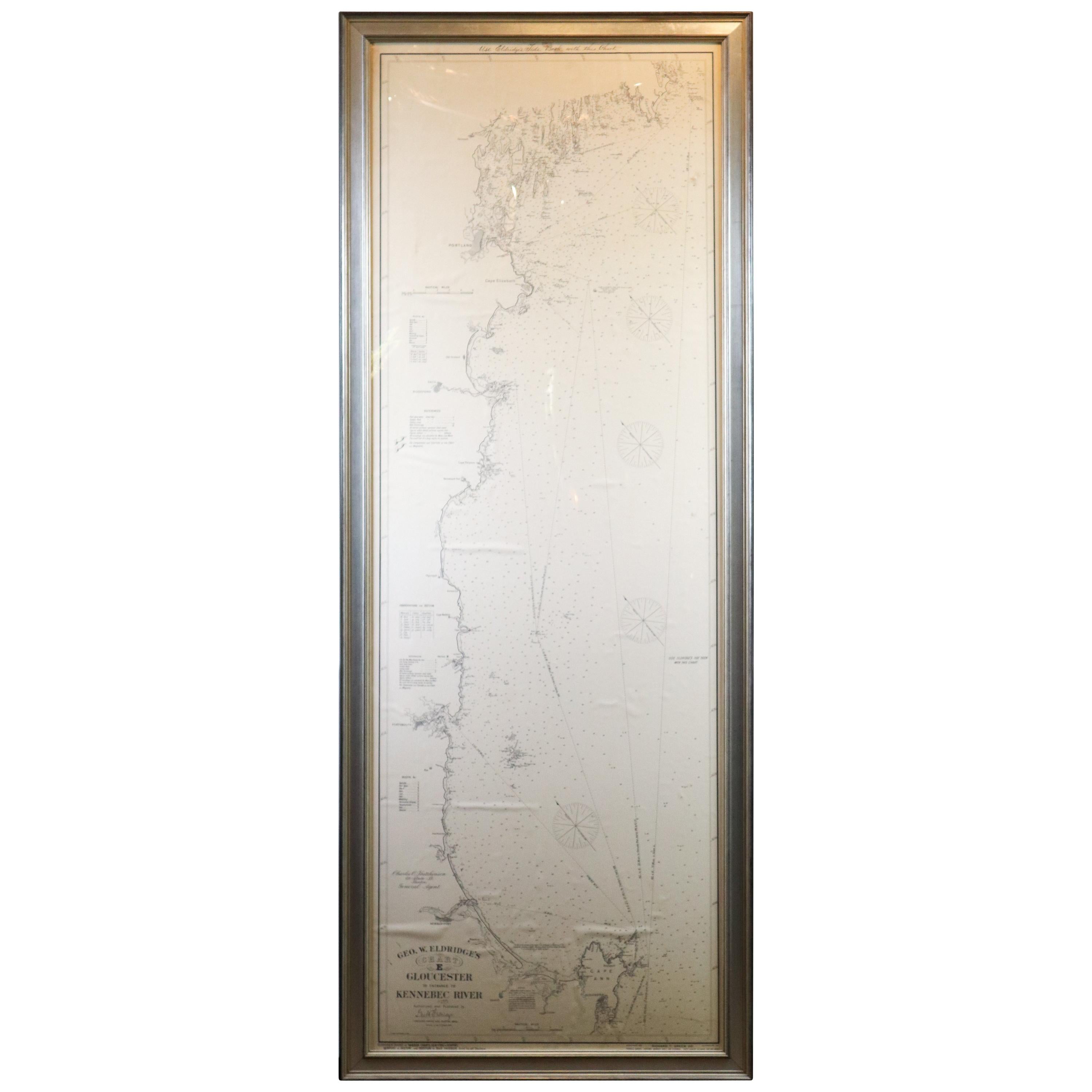
 - Original 1910 George Eldridge ChartLocated in Norwell, MAOriginal framed 1910 George Eldridge chart "E" showing Gloucester to the Kennebec river. Showing the coast of Maine in great detail. Towns include Bath, Camden, Portland, the Coastal...Category
20th Century Unknown Maps
- Long Island Chart from 1828Located in Norwell, MARare original chart of Long Island Sound by E + G Blunt of New York, 179 Water St. "Surveyed in the years 1828, 29 & 30" Exceedingly rare and early chart, titled Long Island Sound fr...Category
Antique 1830s Nautical Objects
MaterialsPaper