Items Similar to Blacks Large Tourist Map of Scotland in Retractable Mahogany Case


Want more images or videos?
Request additional images or videos from the seller
1 of 4
Blacks Large Tourist Map of Scotland in Retractable Mahogany Case
About the Item
A blacks large tourist map of Scotland in retractable mahogany case.
- Dimensions:Height: 90 in (228.6 cm)Width: 70 in (177.8 cm)Depth: 4 in (10.16 cm)
- Materials and Techniques:Mahogany,Paper
- Place of Origin:
- Period:
- Date of Manufacture:19th Century
- Condition:Wear consistent with age and use.
- Seller Location:Buchanan, MI
- Reference Number:1stDibs: LU81997004393
About the Seller
5.0
Vetted Seller
These experienced sellers undergo a comprehensive evaluation by our team of in-house experts.
Established in 1985
1stDibs seller since 2006
194 sales on 1stDibs
Typical response time: 1 hour
- ShippingRetrieving quote...Ships From: Buchanan, MI
- Return PolicyA return for this item may be initiated within 2 days of delivery.
More From This SellerView All
- Fine 19th Century English Mahogany Schooner Steam Boad Model in Custom CaseLocated in Buchanan, MIFine 19th century English mahogany schooner steam boad model in custom case. Great attention to detail. This came from a very prominent North Shore Estate.Category
Antique 19th Century English Adirondack Natural Specimens
MaterialsGlass, Mahogany
- Engraving Depicting 16th Century Map of Terra SanctaLocated in Buchanan, MIAbraham Ortelius (Flemish, 1527-1598) Terra Sancta. Engraving depicting 16th century map of Terra Sancta. Site 15" x 19.5.Category
Antique 18th Century and Earlier Maps
MaterialsPaper
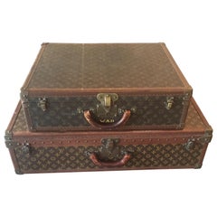
- Two Louis Vuitton Suit Cases Priced Per Suit CaseLocated in Buchanan, MITwo Louis Vuitton suit cases priced per suit case.Category
20th Century Decorative Boxes
MaterialsLeather
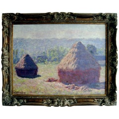
- Large Giclee Print on Canvas of a Monet in Giltwood FrameLocated in Buchanan, MIVery large Giclee print on canvas of a Monet in giltwood frame.Category
20th Century American Prints
MaterialsCanvas, Giltwood
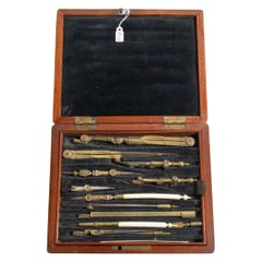
- 19th Century English Cased Drawing Set Length of Longest ToolLocated in Buchanan, MIAn 19th century English cased drawing set length of longest tool. Measures: 6 1/4 inches.Category
Antique 19th Century English Desk Sets
MaterialsBrass
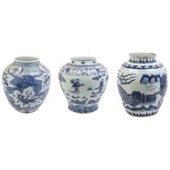
- Large Collection Of Chinese Export Blue and White of Large ScaleLocated in Buchanan, MILarge Collection Of Chinese export blue and white of large scale. Priced per vessel.Category
Antique Late 19th Century Asian Pottery

You May Also Like
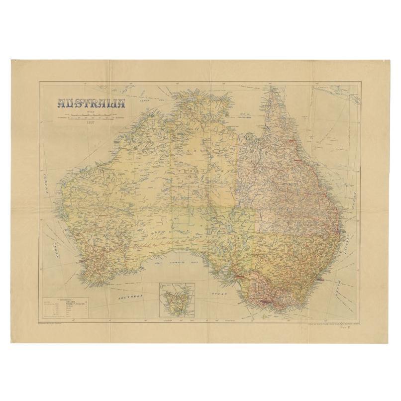
- Large Detailed Map of Australia Wint Inset of Tasmania, 1937Located in Langweer, NLAntique map titled 'Australia'. Large folding map of Australia. With inset map of Tasmania. Printed by L.F. Johnston, Canberra. Artists and Engravers: Compiled and drawn by Propert...Category
20th Century Maps
MaterialsPaper
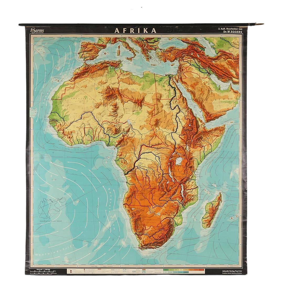
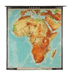
- Large University Chart “Physical Map of Africa” by BaconLocated in Chillerton, Isle of WightLarge university chart “Physical Map of Africa” by Bacon W&A K Johnston’s Charts of Physical Maps By G W Bacon, This is colorful Physical map of North America, it is large lithograph set...Category
Early 20th Century Folk Art Posters
MaterialsLinen
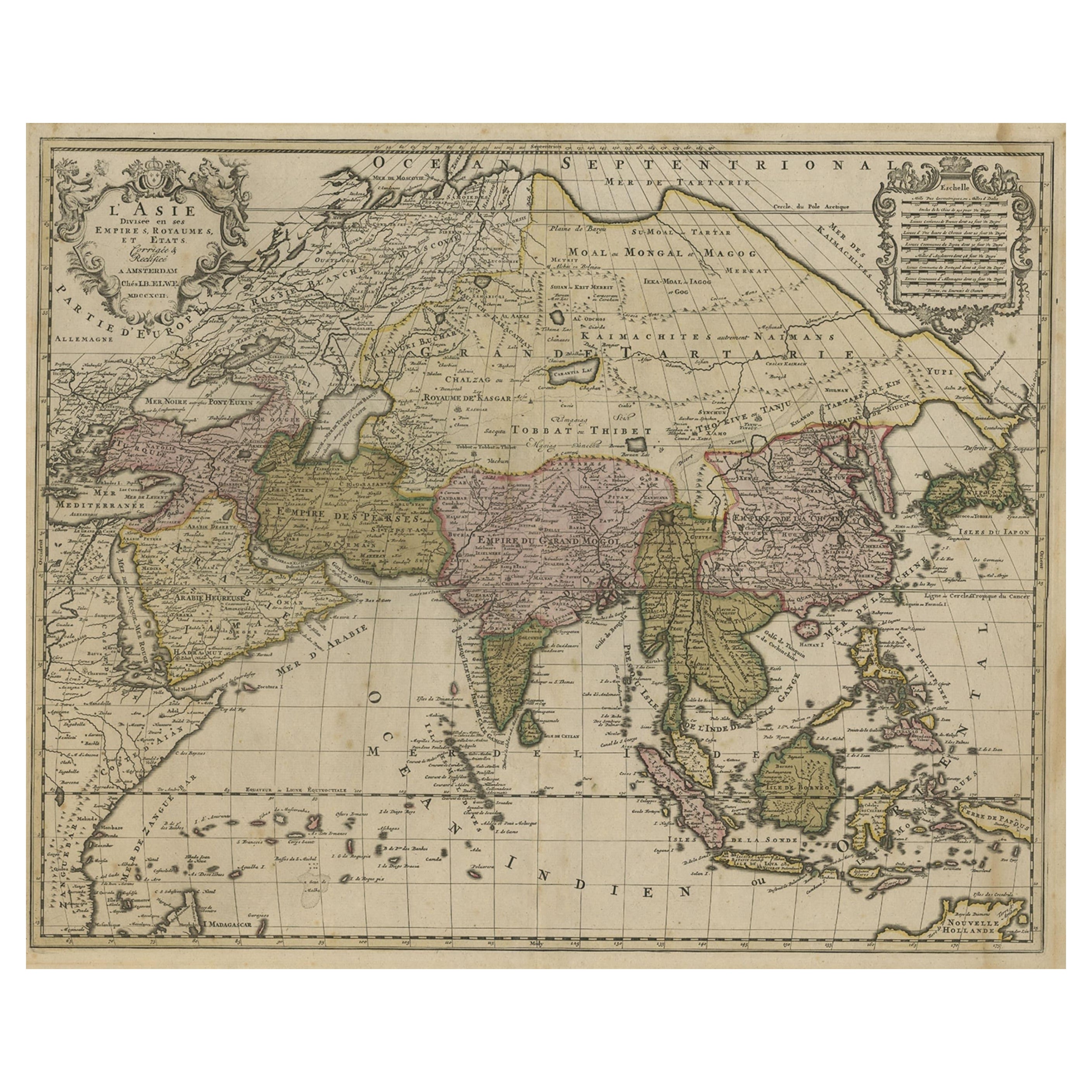
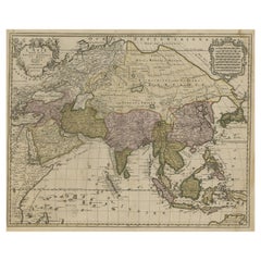
- Large Antique Map of Asia including All of Southeast Asia, c.1792Located in Langweer, NLAntique map titled 'L' Asie Divisee en ses Empires, Royaumes, et Etats'. Attractive, large map of Asia including all of Southeast Asia. The cartography is archaic for the period with...Category
Antique 18th Century Maps
MaterialsPaper
- Large Africa School Map, circa 1950Located in Meulebeke, BEGeographical vintage school wall card Africa. The school poster is in a good vintage condition with types of old -age signs that you can see from the produc...Category
Vintage 1950s German Mid-Century Modern Posters
MaterialsCanvas, Wood, Paper
- Large University Chart “Political Map of North America” by BaconLocated in Chillerton, Isle of WightLarge University Chart “Political Map of North America” by Bacon W&A K Johnston’s Charts of Physical Maps By G W Bacon, This is colourful Physical map ...Category
Early 20th Century American Empire Posters
MaterialsLinen
- Large University Chart “Political Map of North America” by BaconLocated in Chillerton, Isle of WightLarge University chart “Political Map of North America” by Bacon W&A K Johnston’s Charts of Political Maps by G W Bacon, This is colorful Physical ...Category
Early 20th Century American Empire Posters
MaterialsLinen


Recently Viewed
View AllMore Ways To Browse
Map Case
Antique Map Case
Victorian Vintage Poster
Water Skis
Water Ski
Avant Garde Movie Poster
Belgian Movie Poster
Belle De Jour Vintage
Campbell Poster
Captain America Vintage Posters
Vintage Broadway Musical Posters
Retro Yellow Submarine Poster
Retro Batman Poster
Retro Chinese Propaganda Posters
Canadian Pacific Vintage Travel Posters
Captain America Poster Vintage
Captain America Vintage Poster
Vintage Hitchcock Movie Posters