Items Similar to Antique Engraving of Tinian, an Island of the Northern Mariana Islands, 1757
Want more images or videos?
Request additional images or videos from the seller
1 of 5
Antique Engraving of Tinian, an Island of the Northern Mariana Islands, 1757
About the Item
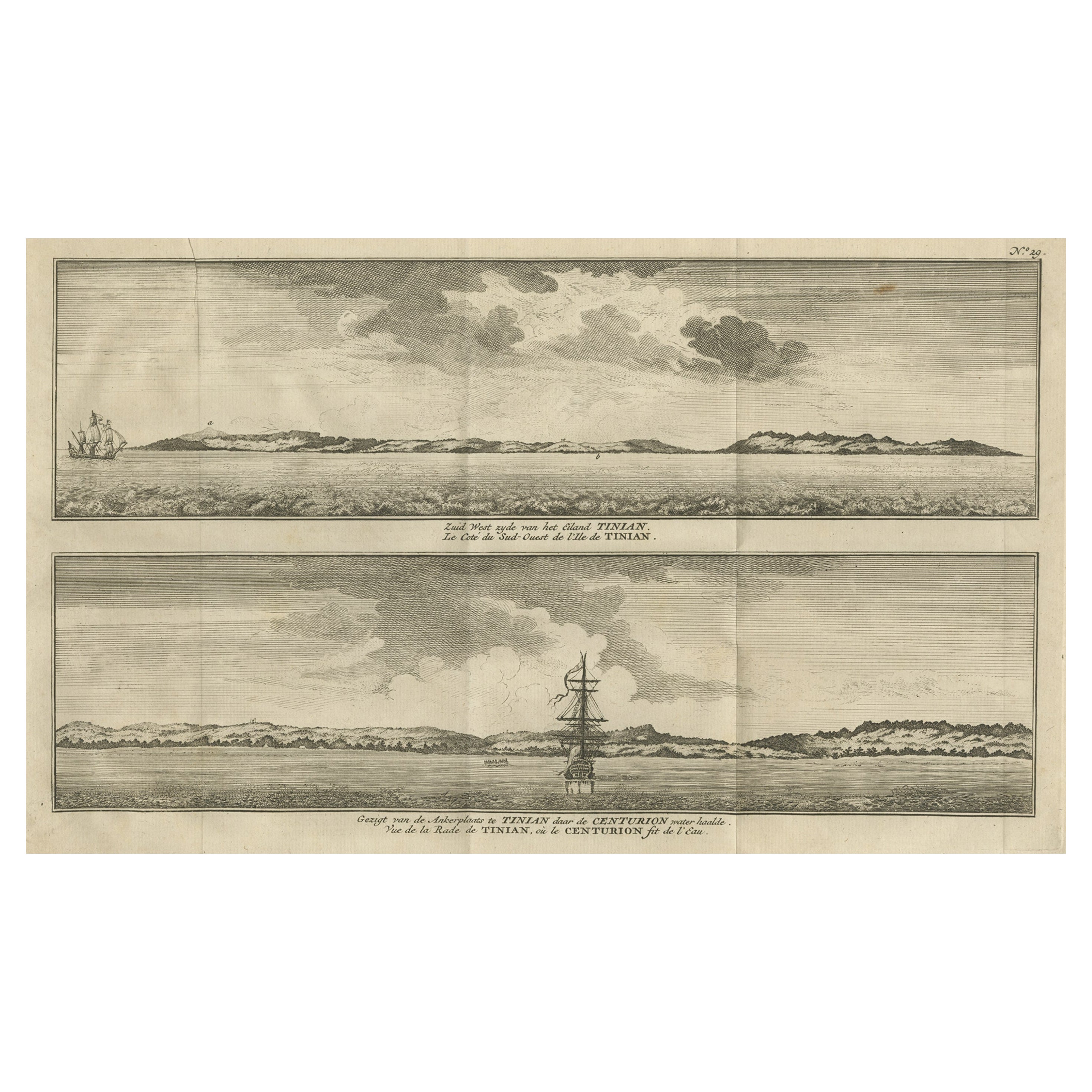
Antique print titled 'Vue de la Rde de Tinian
Gezigt van de Rheede van Tinian (..)'. Views of the south-west side of the island of Tinian and a view of the anchorage of Tinian, where the Centurion got water. This print originates from 'Histoire Générale des Voyages' published by P. de Hondt, 1757.
Artists and Engravers: Engraved by Jakob van der Schley (Dutch 1715-1779).
Condition: Very good, general age-related toning. Original folding lines, blank verso. Please study image carefully.
- Dimensions:Height: 10.63 in (27 cm)Width: 16.26 in (41.3 cm)Depth: 0 in (0.02 mm)
- Materials and Techniques:
- Period:1750-1759
- Date of Manufacture:1757
- Condition:
- Seller Location:Langweer, NL
- Reference Number:
About the Seller
5.0
Platinum Seller
These expertly vetted sellers are 1stDibs' most experienced sellers and are rated highest by our customers.
Established in 2009
1stDibs seller since 2017
1,947 sales on 1stDibs
Typical response time: <1 hour
- ShippingRetrieving quote...Ships From: Langweer, Netherlands
- Return PolicyA return for this item may be initiated within 14 days of delivery.
More From This SellerView All
- Antique Print with Views of Tinian Island, the Northern Mariana Islands, 1749Located in Langweer, NLAntique print titled 'Le cote du sud-ouest de l'Ile de Tinian' and 'Vue de la rade de Tinian, ou le Centurion fit de l'eau.' Views of the south-west side of the island of Tinian and a view of the anchorage of Tinian, where the Centurion got water. This print originates from 'Reize rondsom de Werreld (..)' by George Anson, published 1749. Tinian is one of the three principal islands of the Commonwealth of the Northern Mariana Islands...Category
Antique 18th Century Prints
MaterialsPaper
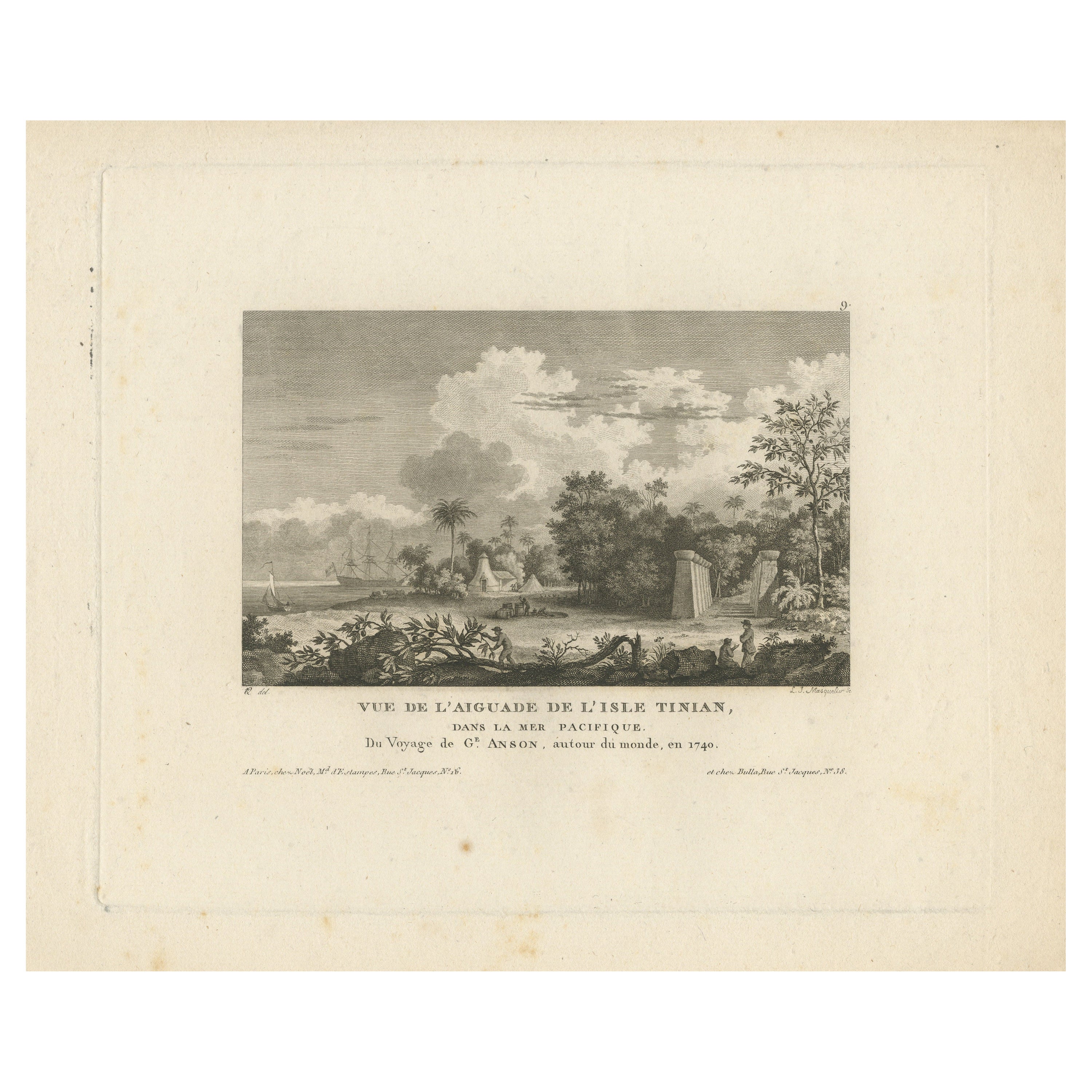
- Antique Print of Tinian Island, Part of the Northern Mariana IslandsLocated in Langweer, NLAntique print titled 'Vue de l'Aiguade de l'isle Tinian.View of Tinian recorded during the journey of Lord George Anson, Mariana Islands. This print originates from 'Morgenblatt für ...Category
Antique Mid-19th Century Prints
MaterialsPaper
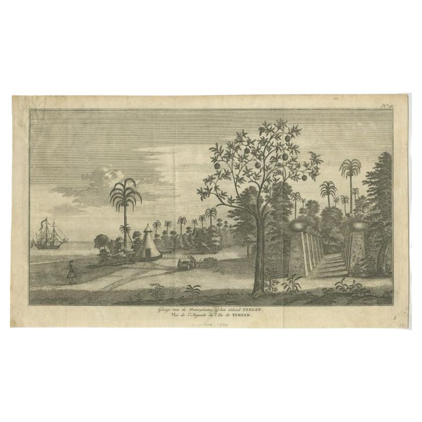
- Antique Print of Tinian Island by Anson, 1749Located in Langweer, NLAntique print titled 'Gezigt van de Waterplaats op het Eiland Tinian - Vue de l'Aiguade de l'Ile de Tinian'. View of the island Tinian in the northern Mariana Islands...Category
Antique 18th Century Prints
MaterialsPaper
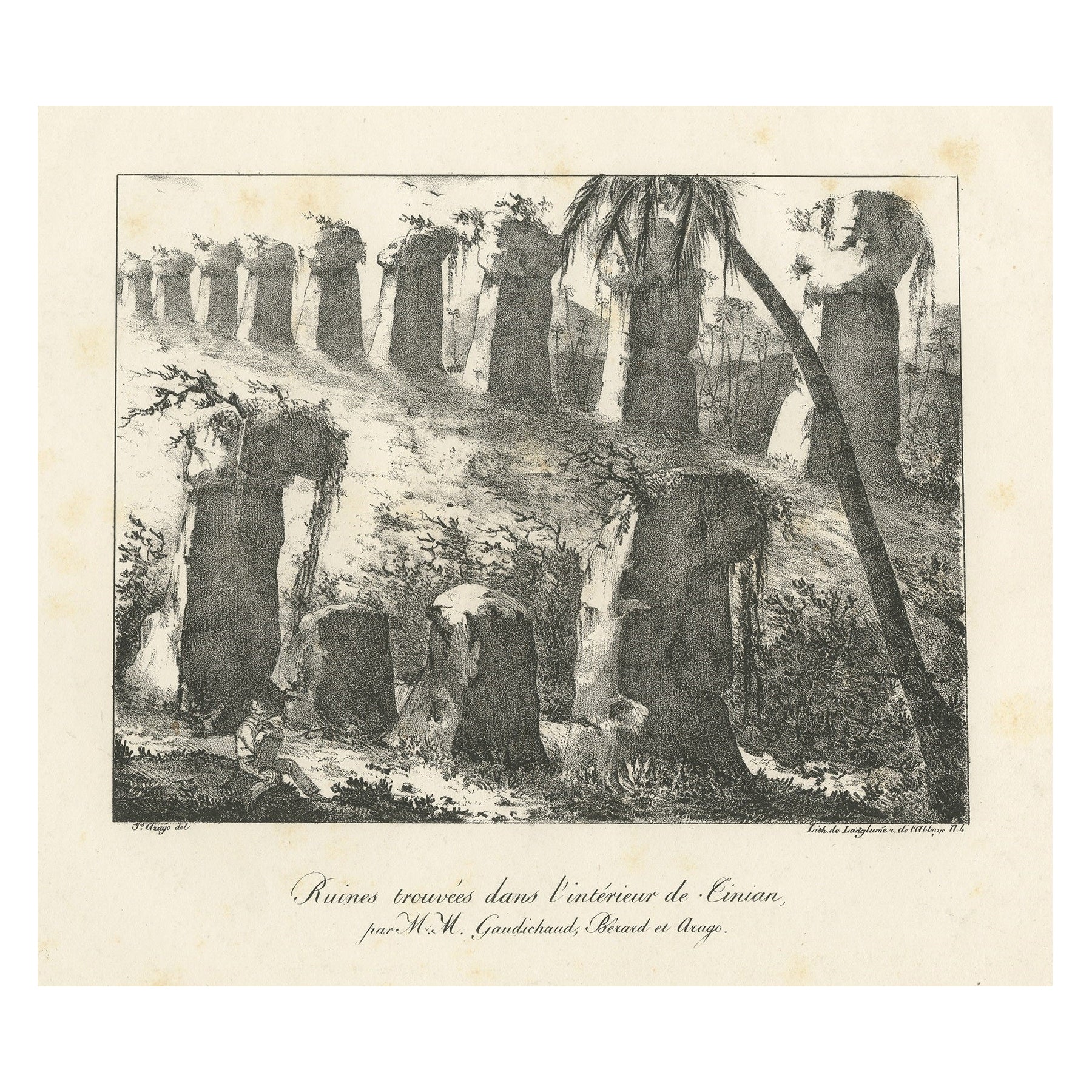
- Antique Print of Ruins Found on Tinian, Mariana IslandsLocated in Langweer, NLAntique print titled 'Ruines trouvées dans l'interiéur de Tinian (..)'. Orginal old print of ruins found on Tinian, one of the three principal islands of the Commonwealth of the Nort...Category
Antique Mid-19th Century Prints
MaterialsPaper
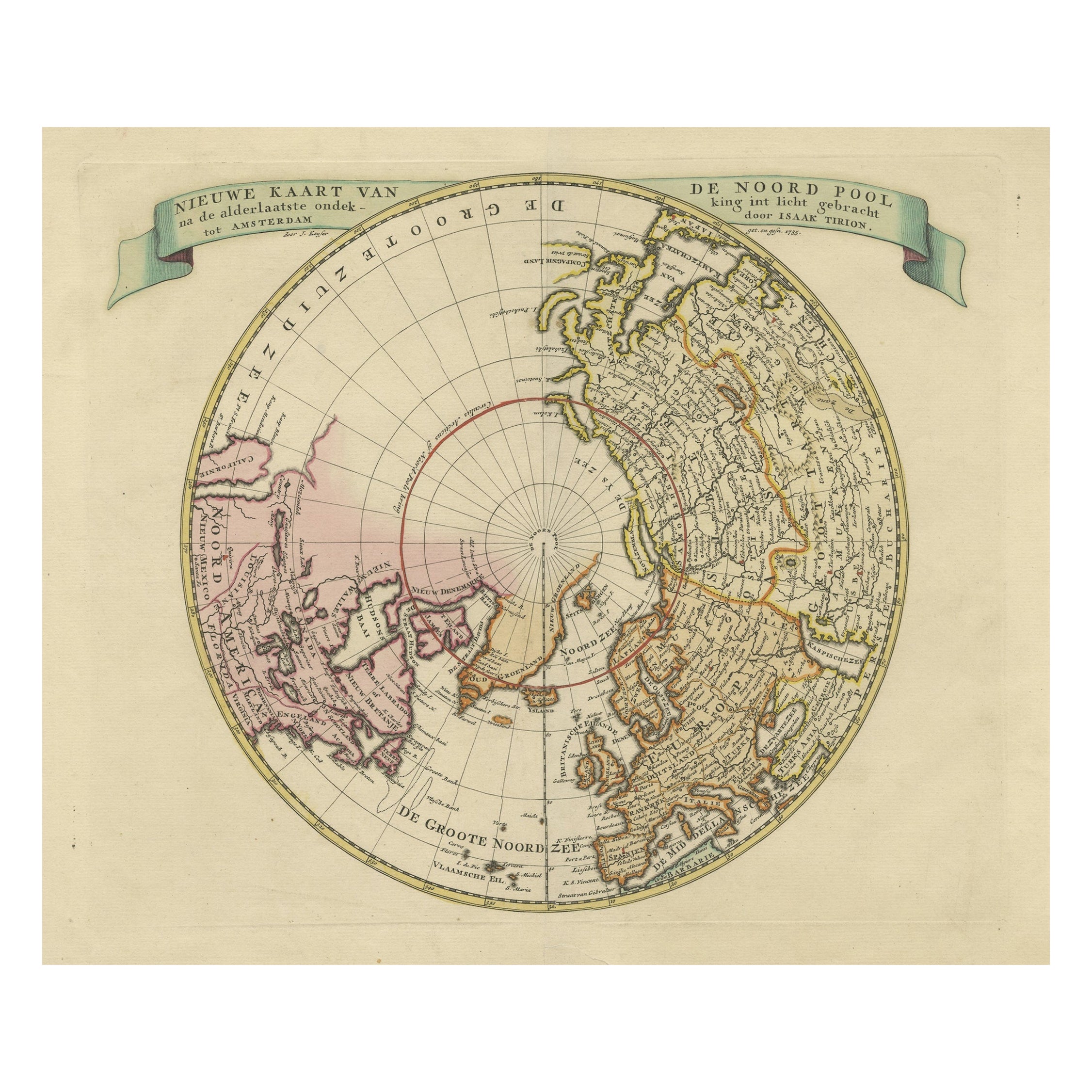
- Beautiful Antique Map of the Northern Hemisphere with California as an IslandBy Isaak TirionLocated in Langweer, NLAntique map titled 'Nieuwe Kaart van de Noord Pool na de alderlaatste ontdekking int licht gebracht tot Amsterdam door Isaak Tirion'. Beautiful map of the Northern Hemisphere and Nor...Category
Antique Mid-18th Century Maps
MaterialsPaper
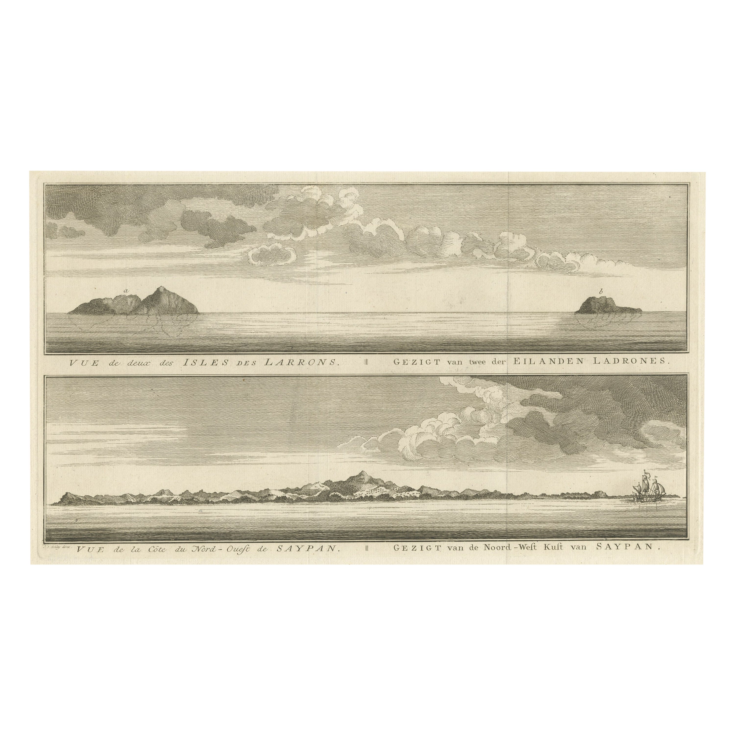
- Antique View of The N.W. side of Saypan and one of The Ladrones Islands, 1757Located in Langweer, NLAntique print titled 'Vue de deux des Iles des Larrons - Gezigt van twee der Eilanden Ladrones (..)'. View of two Ladrones Islands; View of the N.W. side of Saypan, one of the La...Category
Antique 1750s Prints
MaterialsPaper
You May Also Like
- “The Restaurant of the House of Representatives” Engraving by Harper's WeeklyLocated in Colorado Springs, COThis original wood engraving is titled “The Restaurant of the House of Representatives, Washington, DC.” It was published as a double-page image, in the August 12, 1893 issue of the famous 19th century newspaper Harper’s Weekly. The print was illustrated by Charles Stanley Reinhardt. The House Restaurant, a unique part of life in the Capitol, has been in the same location since the 1857 Capitol Expansion. Congressional members’ busy work schedule made the availability of food on site a necessity. But the restaurant also served as an informal meeting spot for members to continue conversations and deal making. This 1893 print illustrates the convivial atmosphere. Details including elegantly dressed tables...Category
Antique 1890s American Prints
MaterialsPaper
- 1876 "Gettysburg, The Repulse of Longstreet's Assault." EngravingLocated in Colorado Springs, COPresented here is an 1876 engraving of John B. Bachelder and James Walker’s Gettysburg. The Repulse of Longstreet’s Assault. The engraved scene depicts the decisive battle on the final day of the Battle of Gettysburg. Researched by the photographer and topographer John B. Bachelder and painted by James Walker, the original painting was created in 1870. This detailed engraving was done by H. B. Hall Jr. and published by James Drummond Ball. Otherwise called Pickett’s Charge, the battle occurred on July 3, 1863. Pickett’s corp commander, Lieutenant General James Longstreet was placed in charge of the attack despite his hesitations. Longstreet’s central role led to the title of the work, Repulse of Longstreet’s Assault. In an attempt to gain control of an important supply route, nine Confederate brigades charged across three-quarters of a mile of open ground against cannon fire to take Cemetery Ridge from the defending Union Army. Despite their overwhelming numbers, the Confederate forces were repelled with considerable casualties marking not only a decisive victory for the Union, but also the beginning of the slow defeat of Lee’s Army. The furthest the charging forces advanced before being repulsed would forever be known as the “High Water Mark of the Confederacy.” The Confederate army never recovered from the losses at Gettysburg and it effectively ended Lee’s campaign into Pennsylvania. The engraving gives the perspective from the Union rear, one that encompasses most of the battlefield, from Big Round Top on the left to the northern reaches of Cemetery Ridge on the right. The Confederate lines at Seminary Ridge are in the far distance, partially obscured by bursting shells. The image centers on the main Confederate assault, in the vicinity of what today are known as "The Copse" and "The Bloody Angle." The composition has elemen...Category
Antique 1870s American Prints
MaterialsPaper
- Set of Twelve Colored Engravings of the Defeat of the Spanish Armada by J. PineLocated in Essex, MABy John Pine considered the foremost heraldic and decorative engraver of his generation. Depicting the defeat of the Spanish by the English Fleet in 1588. These are after a set of tapestries that hung in the House of Commons...Category
Antique 1740s English Prints
MaterialsPaper
- 1864 "Proclamation of Emancipation, " Antique Engraving by Charles ShoberLocated in Colorado Springs, COThis 1865 engraving features the Emancipation Proclamation in elaborate calligraphic text, with five patriotic vignettes and a small portrait...Category
Antique 1860s American Historical Memorabilia
MaterialsPaper
- “A Football Match, Scotland v. England” Antique Engraving, Proof Edition of 100By Overend and SmytheLocated in Colorado Springs, COThis is the 1889 William H. Overend (1851-1898) and Lionel Smythe (1839-1918) first edition, photogravure of the Calcutta Cup – a Rugby match between Scotland and England, that has been played over 100 times, the first match...Category
Antique 19th Century English Prints
MaterialsPaper
- St. Christophe 'St. Kitts' Island: An 18th Century Hand-colored Map by BellinBy Jacques-Nicolas BellinLocated in Alamo, CAJacques Bellin's copper-plate map of the Caribbean island of Saint Kitts entitled "Carte De De l'Isle St. Christophe Pour servir á l'Histoire Genle. des V...Category
Antique Mid-18th Century French Maps
MaterialsPaper
Recently Viewed
View AllMore Ways To Browse
Antique Furniture Centurion
Van Rheede
Used Handkerchief
Wall Mount Relief
Inlaid Ring
Door Frame Italy
Series Of Wall Sculptures
Long Glass Cabinet
Dress Maker
Curved Glass Cabinet
Wall Embroidery
Hand Woven Wall Hanging
Raised Panel Wood Doors
Large Vintage Metal Cabinet
Antique Rings In London
Mid Century Wood And Brass Shelf
Vintage Industrial Metal Storage Cabinet
Antique Victorian Charms
