Items Similar to Antique Print of the Capital of Friesland Leeuwarden, The Netherlands, c.1670
Want more images or videos?
Request additional images or videos from the seller
Antique Print of the Capital of Friesland Leeuwarden, The Netherlands, c.1670
About the Item
Antique print titled 'Lewarden.' A bird's eye view of Leeuwarden (Friesland, the Netherlands). Views of Jollain are scarse and sought after by collectors.
Artists and Engravers: Made by 'Gerard Jollain' after own design. Gerard Jollain (active 1660-1683) was a French copper engraver, active in Paris under the sign of 'Ville de Cologne'.
Condition: Very good, given age. Original middle fold, as issued. A crease in the right side of the image. Some slight soiling and small stains in the margins. A smaller crease in the lower left margin corner. A small manuscript annotation in the lower right corner of the caption. General age-related toning and/or occasional minor defects from handling. Blank verso. Please study imag carefully.
Date: c.1670
Overall size: 57.8 x 43.4 cm.
Image size: 51 x 36.2 cm.
Antique prints have long been appreciated for both their aesthetic and investment value. They were the product of engraved, etched or lithographed plates. These plates were handmade out of wood or metal, which required an incredible level of skill, patience and craftsmanship. Whether you have a house with Victorian furniture or more contemporary decor an old engraving can enhance your living space.
- Dimensions:Height: 17.09 in (43.4 cm)Width: 22.76 in (57.8 cm)Depth: 0 in (0.01 mm)
- Materials and Techniques:
- Period:
- Date of Manufacture:circa 1670
- Condition:Condition: Very good, given age. Original middle fold, as issued. A crease in the right side of the image. Some slight soiling and small stains in the margins. A smaller crease in the lower left margin corner. A small manuscript annotation in corner.
- Seller Location:Langweer, NL
- Reference Number:
About the Seller
5.0
Platinum Seller
These expertly vetted sellers are 1stDibs' most experienced sellers and are rated highest by our customers.
Established in 2009
1stDibs seller since 2017
1,950 sales on 1stDibs
Typical response time: <1 hour
- ShippingRetrieving quote...Ships From: Langweer, Netherlands
- Return PolicyA return for this item may be initiated within 14 days of delivery.
More From This SellerView All
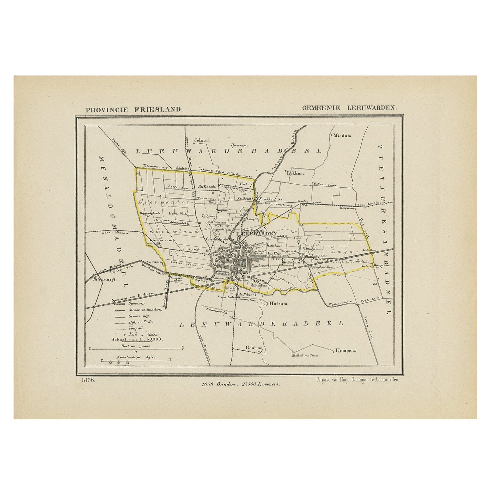
- Antique Map of Leeuwarden, Capital of Friesland, the Netherlands, 1868Located in Langweer, NLAntique map titled 'Provincie Friesland - Gemeente Leeuwarden'. Map of the township of Leeuwarden, Friesland. This map originates from 'Gemeente-Atlas van Nederland' by J. Kuyper. Ar...Category
Antique 19th Century Maps
MaterialsPaper
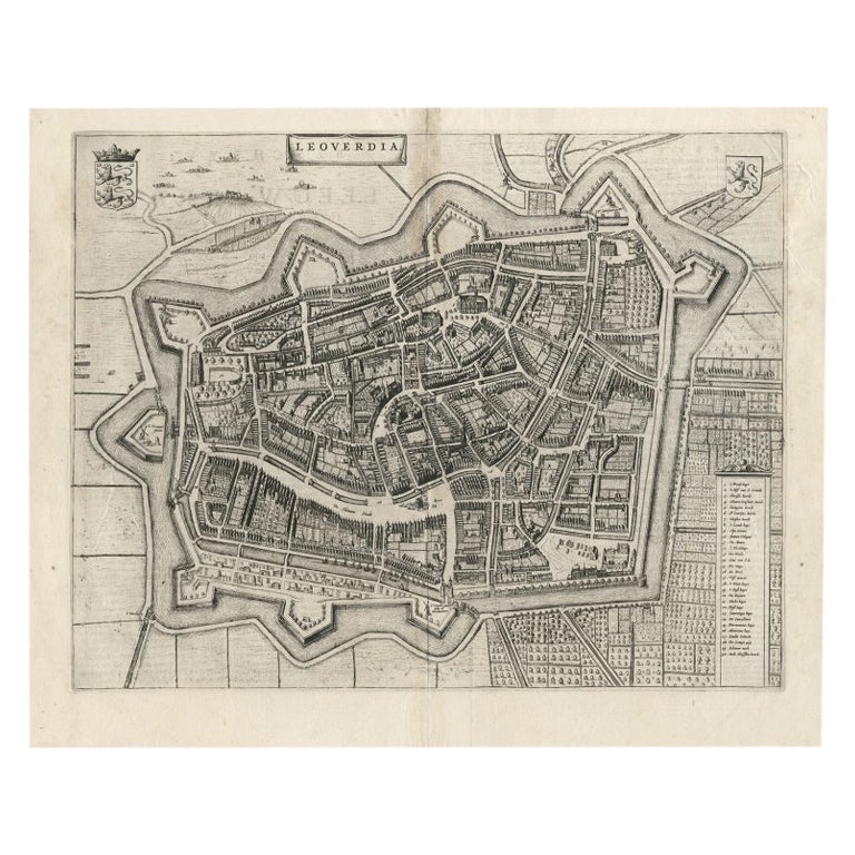
- Antique Map of Leeuwarden, Capital of Friesland, the Netherlands, by Blaeu, 1649Located in Langweer, NLAntique map titled 'Leoverdia.' Bird's-eye view plan of Leeuwarden, Friesland, the Netherlands. With key to locations and coats of arms. Text in Dutch on verso. This plan origina...Category
Antique 17th Century Maps
MaterialsPaper
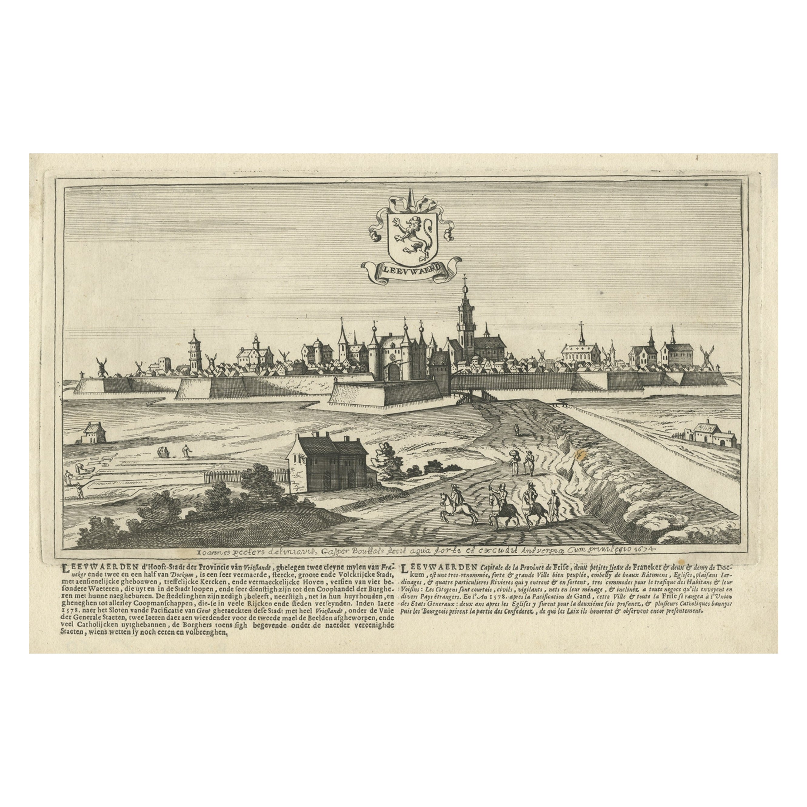
- Antique Print of the City of Leeuwarden, Friesland in The Netherlands, 1680Located in Langweer, NLAntique print titled 'Leeuwaerd'. Old bird's eye view of the city of Leeuwarden, Friesland. This print originates from 'Thooneel der Steden ende Sterckten van 't Vereenight Nederland...Category
Antique 17th Century Prints
MaterialsPaper
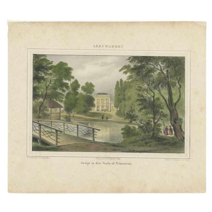
- Old Print of the 'Prinsentuin' in Leeuwarden, Friesland, The Netherlands, 1849Located in Langweer, NLAntique print titled 'Leeuwarden - Gezigt in den Stads- of Prinsentuin'. Old print of the Prinsentuin in Leeuwarden, Friesland. The Prinsentuin was originally part of the city defense walls. When the Dutch 80 year independence war...Category
Antique 19th Century Prints
MaterialsPaper
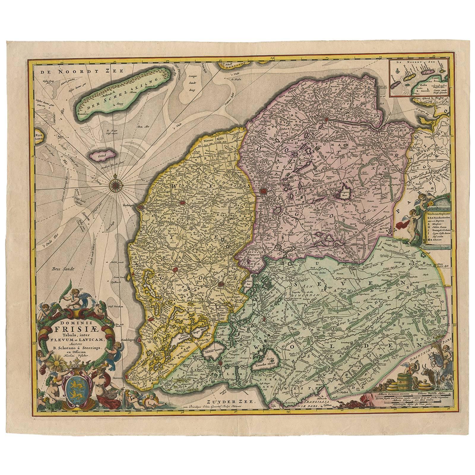
- Antique Map of Friesland ‘The Netherlands’ by N. Visscher, circa 1670By Nicolaes Visscher IILocated in Langweer, NLThis large copper engraved map details the coastline of Friesland and Terschelling. At east is a part of Groningen. The main cities are colored in red. The very decorative cartouches...Category
Antique Late 17th Century Maps
MaterialsPaper
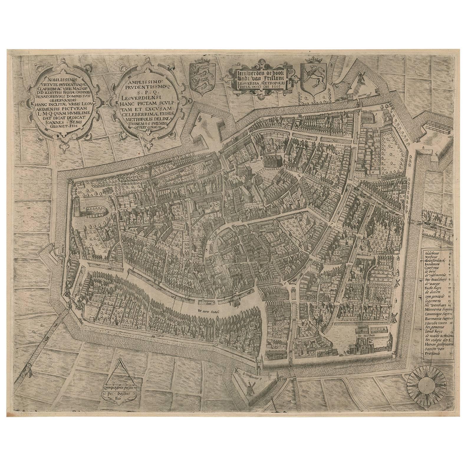
- VeryRare Antique Map of Leeuwarden, Friesland, The Netherlands, by P. Bast, 1603By P. BastLocated in Langweer, NLVery rare plan of Leeuwarden, Friesland, The Netherlands. With several cartouches and coat of arms. With a legend and compass rose at bottom right. Made by 'Pieter Bast' after the su...Category
Antique Early 17th Century Maps
MaterialsPaper
You May Also Like
- Original Antique Map of The Netherlands, Engraved by Barlow, Dated 1807Located in St Annes, LancashireGreat map of Netherlands Copper-plate engraving by Barlow Published by Brightly & Kinnersly, Bungay, Suffolk. Dated 1807 Unframed.Category
Antique Early 1800s English Maps
MaterialsPaper
- Original Antique Map of The Netherlands, Sherwood, Neely & Jones, Dated 1809Located in St Annes, LancashireGreat map of The Netherlands Copper-plate engraving by Cooper Published by Sherwood, Neely & Jones. Dated 1809 Unframed.Category
Antique Early 1800s English Maps
MaterialsPaper
- Antique Lithographic Print of the Diamond Rock Battle Early 1900s, Oakwood FrameLocated in Milan, ITLithographic print of the diamond rock battle, the main port of the island of Martinique, taken from the book Historical Gallery of Versailles 112. Chacoane is the engraver. Original...Category
Early 20th Century French Nautical Objects
MaterialsPaper
- "Raising the Liberty Pole" Hand-Colored Antique Print, 1875Located in Colorado Springs, COThis nineteenth-century engraving shows a liberty pole being raised in a town square in 1776, while a sign bearing the face of King George III is removed in the background. The rioto...Category
Antique 1870s American Historical Memorabilia
MaterialsPaper
- N.E. View of the United States Capitol, Washington, DC Antique Proof Print 1858Located in Colorado Springs, COThis engraved print shows a view of the United States Capitol Building, in Washington, D.C. The print depicts the neoclassical building from the northeast orientation, with a bustling street scene in front. The steel engraving is a proof printing, drawn and engraved by Henry Sartain and published in 1858. Plans began in May 1854 to build a new cast-iron dome for the United States Capitol. The then-architect of the Capitol Thomas Walter and his team were sold on the aesthetics of a new dome, as well as the utility of a fire-proof one. A year later, on March 3, 1855, President Franklin Pierce...Category
Antique 1850s American Prints
MaterialsPaper
- Civil War Panorama of the Seat of War by John Bachmann, Antique Print circa 1864Located in Colorado Springs, COPanorama of the seat of war. Bird's-eye View of Virginia, Maryland, Delaware and the District of Columbia. This third state of this fascinating bird's eye view of the northernmost p...Category
Antique 1860s American Maps
MaterialsPaper
Recently Viewed
View AllMore Ways To Browse
17th Decor
Antique Level Collectors
French Victorian Bird
Copper Bird House
Large Walnut Chest Of Drawers
French Display Cabinet Carved
Antique Ivory Pieces
Swedish Gustavian Commode
Painted Cabinet Mahogany
Mid Century Commode Black
1960 Wood Small Cabinet
Art Deco Display Cabinets
Art Deco Display Cabinet
Chinese Display Cabinet
China Cabinet Display Cabinet
Double Chest Drawers
Victorian Bow
China Display Cabinet
