Items Similar to Bellin, Canada, Gulf of Saint Lawrence, Hand Coloured Engraving


Want more images or videos?
Request additional images or videos from the seller
1 of 6
Bellin, Canada, Gulf of Saint Lawrence, Hand Coloured Engraving
About the Item
J.V. Schley after Bellin
‘Carte du Golphe de St. Laurent et Pays Voisins’
Size: 14.2 x 8.6 inches 36.1 x 21.8 cm
First state of this nice copper engraved map of St. Lawrence Bay with Anticosti Island, Prince Edward Island, Cape Breton Island, Newfoundland and the adjacent mainland. Decorative title cartouche.
Condition: excellent. Wide margins. Vertical folds are as issued.
Excellent condition on fine strong laid paper.
- Creator:Jacques-Nicolas Bellin (Artist)
- Dimensions:Height: 8.59 in (21.8 cm)Width: 14.22 in (36.1 cm)Depth: 0.04 in (1 mm)
- Materials and Techniques:Paper,Etched
- Place of Origin:
- Period:1780-1789
- Date of Manufacture:1780
- Condition:Wear consistent with age and use.
- Seller Location:Norwich, GB
- Reference Number:1stDibs: LU7031230805852
About the Seller
No Reviews Yet
Vetted Seller
These experienced sellers undergo a comprehensive evaluation by our team of in-house experts.
Established in 1992
1stDibs seller since 2022
8 sales on 1stDibs
- ShippingRetrieving quote...Ships From: Norwich, United Kingdom
- Return PolicyA return for this item may be initiated within 14 days of delivery.
More From This SellerView All
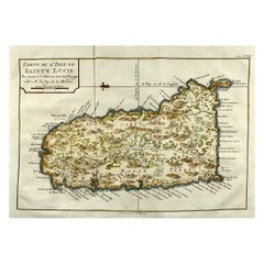
- Jacques Nicolas Bellin, St Lucia, West Indies, Hand Colored MapBy Jacques-Nicolas BellinLocated in Norwich, GBCarte De L’Isle De Sainte Lucie Detailed copper engraved map of Saint Lucia by Jacques Nicolas Bellin. This map was completed by Krevely 1775 for for the rare Dutch edition of ...Category
Antique 1770s Dutch Georgian Prints
MaterialsPaper
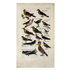
- Merian, Butterflies, Moths, Folio, Hand Coloured EngravingLocated in Norwich, GBFolio Leaf: 37 x 23 cms. Hand colored copper engraving. Matthäus Merian der Ältere (or "Matthew", "the Elder", or "Sr."; 22 September 1593 - 19 June 1650) was a Swiss-born engr...Category
Antique Early 1700s German Baroque Prints
MaterialsPaper
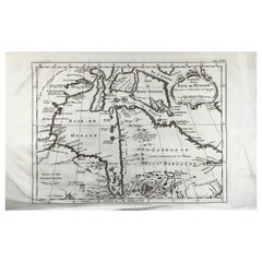
- Bellin, map, Hudson Bay, Canada, James Bay, LabradorLocated in Norwich, GB“Carte de la Baye de Hudson” Map of the Hudson Bay area of Northern Canada. Shows Hudson Bay, James Bay, Labrador (previously called New Brittany by the Fr...Category
Antique 1880s American Prints
MaterialsPaper
- Joh. Jak. Scheuchzer, Bible Engraving, Noah’s Ark, Folio, Hand ColouredLocated in Norwich, GBJohann Jakob Scheuchzer (1672-1733); engraved by P.A. Kilian. Bible engraving, Noah’s Ark Folio. Dimensions: 38 x 24 cm. Hand coloured This fascinating folio engraving is from Johann Jakob Scheuchzer’s Physica Sacra. The work was published in Augsburg und Ulm between 1731 and 1735. Each engraving features highly decorative borders which feature biblical and scientific depictions. Physica Sacra combined theological and scientific practices in an attempt to reconcile biblical passages with the new sciences of the time. The work is an extraordinary illustrated natural history work, and a great example of the decorative nature of the 18th century copper engraving. Scheuchzer was a founder of paleobotany and European paleontology, as well as a professor of mathematics and physics. He believed the Old Testament was a factual account of the history of the world...Category
Antique Early 18th Century German Prints
MaterialsPaper
- 1657 Hoopoe, Bee-Eaters, Passerines, Matt. Merian, Folio Hand Coloured EngravingLocated in Norwich, GB37.5 x 22.5 cm SUPERB ORIGINAL COPPER ENGRAVING!! Matthäus Merian der Ältere (or "Matthew", "the Elder", or "Sr."; 22 September 1593 - 19 June 1650) was a Swiss-born engraver who worked in Frankfurt for most of his career, where he also ran a publishing house. Born in Basel, Merian learned the art of copperplate engraving in Zürich. He next worked and studied in Strasbourg, Nancy, and Paris, before returning to Basel in 1615. The following year he moved to Frankfurt, Germany where he worked for the publisher Johann Theodor de Bry, who was the son of renowned engraver and traveler Theodor de Bry. Early in his life, he had created detailed town plans...Category
Antique Early 1700s German Baroque Prints
MaterialsPaper
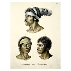
- Brodtmann, Aborigines of Australia, Folio, Stone Lithograph, Hand ColouredBy Brodtmann, K.J.A.Located in Norwich, GBPortraits of Australian aborigines based on Nicholas Petit’s engravings issued in the Baudin voyage account. 1. Top: Aboriginal man with his hair wrapped in paperbark strips told ...Category
Antique 1840s American Early Victorian Prints
MaterialsPaper

You May Also Like
- Captain Cook's Exploration of Tahiti 18th C. Hand-Colored Map by BellinBy Jacques-Nicolas BellinLocated in Alamo, CAThis beautiful 18th century hand-colored copper plate engraved map is entitled "Carte de l'Isle de Taiti, par le Lieutenant J. Cook" was created by Jacques Nicolas Bellin and publish...Category
Antique Mid-18th Century French Maps
MaterialsPaper
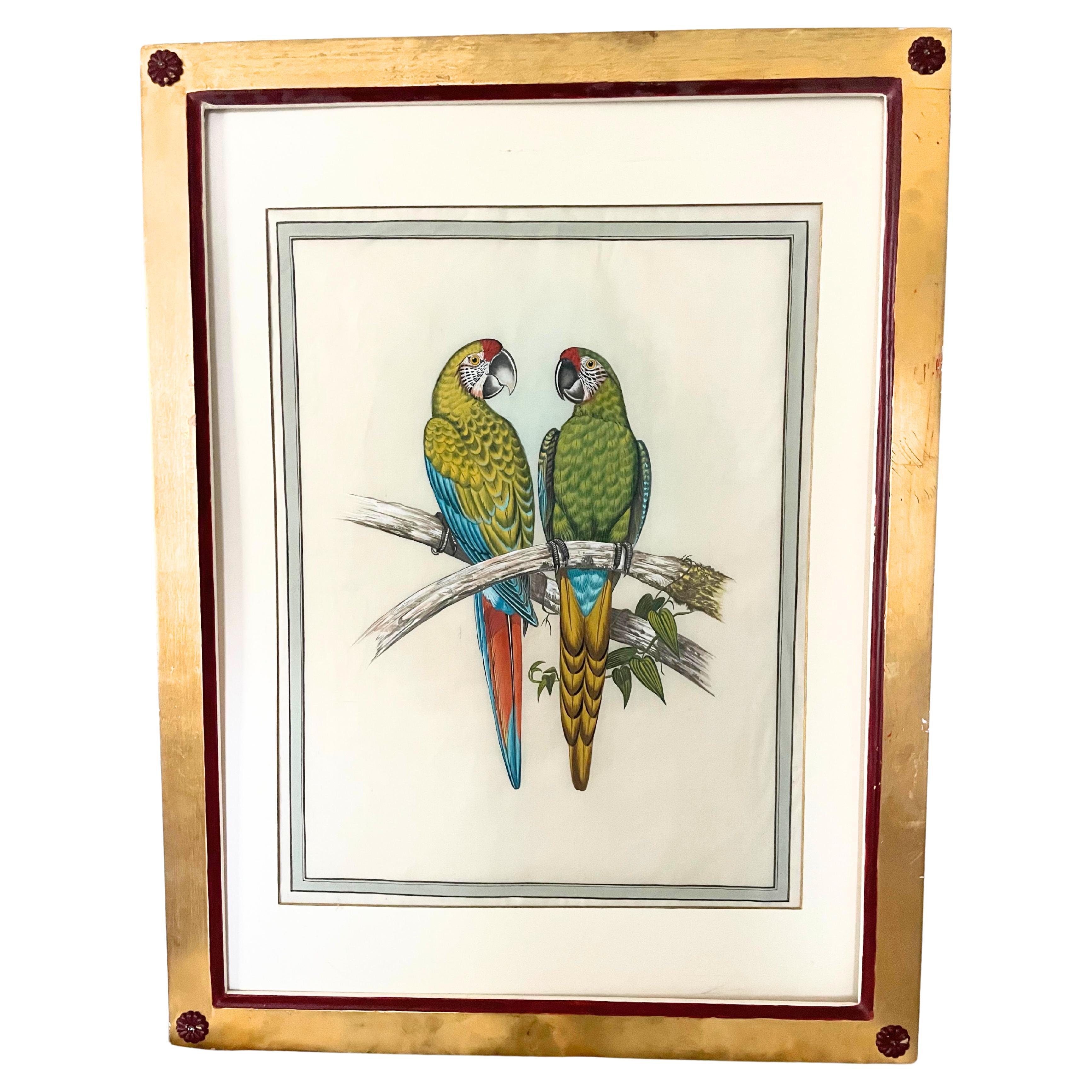
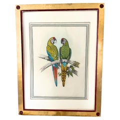
- 18 Antique Bird Hand-Coloured EngravingsLocated in New York, NYAntique Bird Prints Natural History Studies of Parrots and Tropical Birds Hand-colored engravings 23.5 x 30.5 inches each including frame Imagine all 18 on one wall in your study.Category
Antique 19th Century European Prints
MaterialsPaper
- Antique Print of the Island of Gorée by Bellin, c.1748By Jacques-Nicolas BellinLocated in Langweer, NLAntique print Africa titled 'Vue de la Rade de l'Ile de Gorée'. Antique print depicting the island of Gorée, Senegal. Artists and Engravers: ...Category
Antique 18th Century Prints
MaterialsPaper
- Antique Map of the Gulf of Bengal by J.N. Bellin, circa 1760Located in Langweer, NLBeautiful chart of the Gulf of Bengal. The map extends from Malabar to Sumatra and today Phuket area in Thailand. Including Pegu, Ceylon, and the Andaman and Nicobar Islands. Numerou...Category
Antique Mid-18th Century Maps
MaterialsPaper
- Antique Map of Celebes 'Sulawesi, Indonesia' by Bellin, ciarca 1755By Jacques-Nicolas BellinLocated in Langweer, NLAntique map titled 'Carte de l'Isle Celebes ou Macassar'. Map of Celebes (Sulawesi, Indonesia), showing Makassar, which was the most important trading city of eastern Indonesia in th...Category
Antique Mid-18th Century European Maps
MaterialsPaper
- St. Christophe 'St. Kitts' Island: An 18th Century Hand-colored Map by BellinBy Jacques-Nicolas BellinLocated in Alamo, CAJacques Bellin's copper-plate map of the Caribbean island of Saint Kitts entitled "Carte De De l'Isle St. Christophe Pour servir á l'Histoire Genle. des V...Category
Antique Mid-18th Century French Maps
MaterialsPaper


Recently Viewed
View AllMore Ways To Browse
Antique French Canadian Furniture
French Canadian Antique Furniture
Antique Breton Furniture
Lawrence Saint
Canada Map
Maps Canada
Map Of Canada
Antique Newfoundland
Antique Maps Canada
Antique Map Canada
Canada Antique Map
Antique Maps Of Canada
Antique Furniture Newfoundland
Nicolas Baier
Antique Newfoundland Canada
St Laurent Cape
Herman Miller Time Life Chair
Used Wooden Front Doors