Items Similar to Antique Map of Friesland by Von Reilly, 1791

Want more images or videos?
Request additional images or videos from the seller
1 of 5
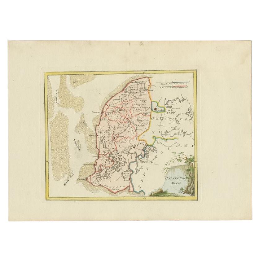
Antique Map of Friesland by Von Reilly, 1791
About the Item
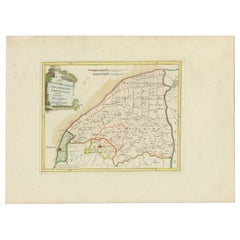
Antique map titled 'Friesland'. Map of the province of Friesland, the Netherlands. This map orginates from 'Schauplatz der fünf Theile der Welt'. Artists and Engravers: Franz Joseph Johann von Reilly (1766-1820) was a Vienna based art dealer. He is also known as the author of two atlases. The maps were engraved by Ignaz Alberti (also Ignaz Albrecht, 1760-1794). Ignaz was an Austrian illustrator, publisher and engraver.
Artist: Franz Joseph Johann von Reilly (1766-1820) was a Vienna based art dealer. He is also known as the author of two atlases. The maps were engraved by Ignaz Alberti (also Ignaz Albrecht, 1760-1794). Ignaz was an Austrian illustrator, publisher and engraver.
Condition: Good, general age-related toning. Original/contemporary hand coloring. Blank verso. Please study image carefully.
Date: 1791
Overall size: 39.5 x 29 cm.
Image size: 27 x 23 cm.
We sell original antique maps to collectors, historians, educators and interior decorators all over the world. Our collection includes a wide range of authentic antique maps from the 16th to the 20th centuries. Buying and collecting antique maps is a tradition that goes back hundreds of years. Antique maps have proved a richly rewarding investment over the past decade, thanks to a growing appreciation of their unique historical appeal. Today the decorative qualities of antique maps are widely recognized by interior designers who appreciate their beauty and design flexibility. Depending on the individual map, presentation, and context, a rare or antique map can be modern, traditional, abstract, figurative, serious or whimsical. We offer a wide range of authentic antique maps for any budget.
- Dimensions:Height: 11.42 in (29 cm)Width: 15.56 in (39.5 cm)Depth: 0 in (0.01 mm)
- Materials and Techniques:
- Period:
- Date of Manufacture:1791
- Condition:
- Seller Location:Langweer, NL
- Reference Number:
About the Seller
5.0
Platinum Seller
These expertly vetted sellers are 1stDibs' most experienced sellers and are rated highest by our customers.
Established in 2009
1stDibs seller since 2017
1,973 sales on 1stDibs
Typical response time: <1 hour
- ShippingRetrieving quote...Ships From: Langweer, Netherlands
- Return PolicyA return for this item may be initiated within 14 days of delivery.
More From This SellerView All
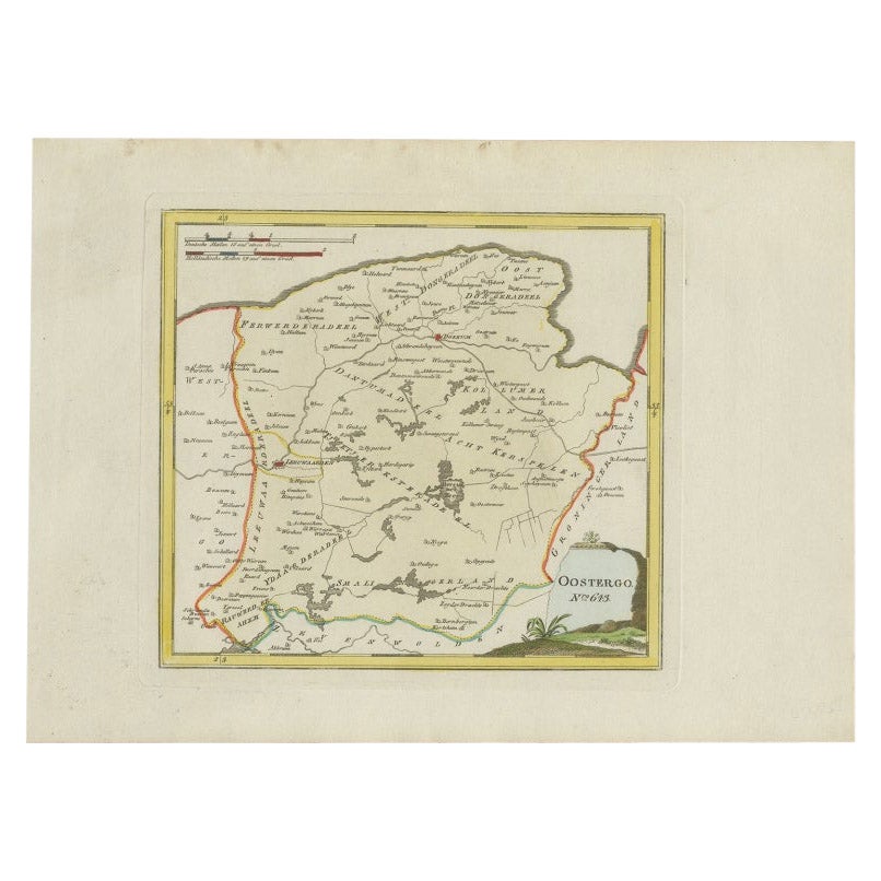
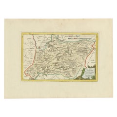
- Antique Map of Oostergo by Von Reilly, 1791Located in Langweer, NLAntique map titled 'Der Provinz Oostergo sechs südliche Grietenyen'. Map of the Oostergo region, Friesland, the Netherlands. This map orginates from 'Schauplatz der fünf Theile der W...Category
Antique 18th Century Maps
MaterialsPaper
- Antique Map of Oostergo by Von Reilly, 1791Located in Langweer, NLAntique map titled 'Oostergo'. Map of the Oostergo region, Friesland, the Netherlands. This map orginates from 'Schauplatz der fünf Theile der Welt'. Artists and Engravers: Franz Jos...Category
Antique 18th Century Maps
MaterialsPaper
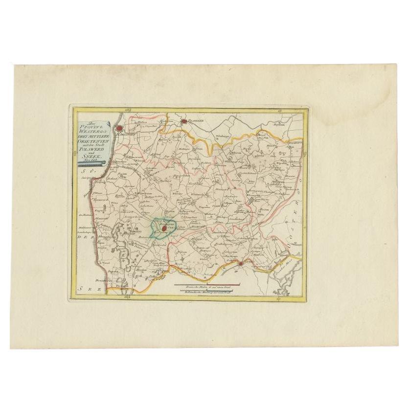
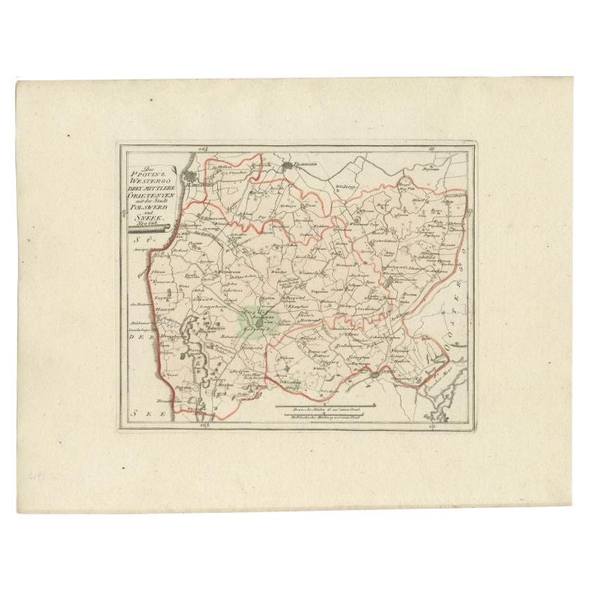
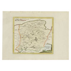
- Antique Map of the Region of Bolsward and Sneek by Von Reilly, 1791Located in Langweer, NLAntique map titled 'Der Provinz Westergo drey mittlere Grietenyen mit der Stadt Bolsward und Sneek'. Map of the region of Bolsward and Sneek, Friesland, the Netherlands. This map org...Category
Antique 18th Century Maps
MaterialsPaper
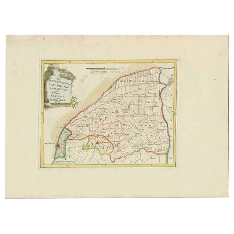
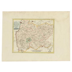
- Antique Map of the Region of Franeker and Harlingen by Von Reilly, 1791Located in Langweer, NLAntique map titled 'Der Provinz Westergo vier nördliche Grietenyen mit der Stadt Franeker und Harlingen'. Map of the region of Franeker and Harlingen, Friesland, the Netherlands. Thi...Category
Antique 18th Century Maps
MaterialsPaper
- Antique Map of the Region of Bolsward and Sneek by Von Reilly, 1791Located in Langweer, NLAntique map titled 'Der Provinz Westergo drey mittlere Grietenyen mit der Stadt Bolsward und Sneek'. Map of the region of Bolsward and Sneek, Friesland, the Netherlands. This map org...Category
Antique 18th Century Maps
MaterialsPaper
- Antique Map of Westergo in Friesland, 1791Located in Langweer, NLAntique map titled 'Westergo'. Map of the Westergo region, Friesland, the Netherlands. This map orginates from 'Schauplatz der fünf Theile der Welt'. Artists and Engravers: Franz...Category
Antique 18th Century Maps
MaterialsPaper
You May Also Like
- 1861 Topographical Map of the District of Columbia, by Boschke, Antique MapLocated in Colorado Springs, COPresented is an original map of Albert Boschke's extremely sought-after "Topographical Map of the District of Columbia Surveyed in the Years 1856 ...Category
Antique 1860s American Historical Memorabilia
MaterialsPaper
- 1907 Map of Colorado, Antique Topographical Map, by Louis NellLocated in Colorado Springs, COThis highly detailed pocket map is a topographical map of the state of Colorado by Louis Nell from 1907. The map "has been complied from all availabl...Category
Antique Early 1900s American Maps
MaterialsPaper
- Antique Map of Italy by Andriveau-Goujon, 1843By Andriveau-GoujonLocated in New York, NYAntique Map of Italy by Andriveau-Goujon, 1843. Map of Italy in two parts by Andriveau-Goujon for the Library of Prince Carini at Palazzo Carini i...Category
Antique 1840s French Maps
MaterialsLinen, Paper
- Antique Map of Principality of MonacoBy Antonio Vallardi EditoreLocated in Alessandria, PiemonteST/619 - "Old Geographical Atlas of Italy - Topographic map of ex-Principality of Monaco" - ediz Vallardi - Milano - A somewhat special edition ---Category
Antique Late 19th Century Italian Other Prints
MaterialsPaper
- Original Antique Map of Russia By Arrowsmith. 1820Located in St Annes, LancashireGreat map of Russia Drawn under the direction of Arrowsmith Copper-plate engraving Published by Longman, Hurst, Rees, Orme and Brown, 1820 Unframed.Category
Antique 1820s English Maps
MaterialsPaper
- Original Antique Map of Scotland by Becker. C.1850Located in St Annes, LancashireGreat map of Scotland Engraved by F.P Becker Published by Virtue, C.1850 Unframed.Category
Antique 1850s Scottish Other Maps
MaterialsPaper


