Items Similar to Map of Cambridge 18th century engraving by Sutton Nichols


Want more images or videos?
Request additional images or videos from the seller
1 of 6
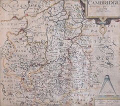
Sutton NicholsMap of Cambridge 18th century engraving by Sutton Nichols
About the Item
To see more, scroll down to "More from this Seller" and below it click on "See all from this Seller."
Sutton Nichols (1668 - 1729)
Map of Cambridgeshire
Engraving
43 x 36 cm
Signed in plate lower left.
A beautifully coloured 18th century map engraving of Cambridgeshire. The map was produced by Robert Morden for publication in Edward Gibson's 1695 translation of William Camden's Britannia, a topographical and historical survey of Great Britain and Ireland produced to "restore antiquity to Britaine, and Britain to his antiquity" - a most noble aim.
William Camden (1551 - 1623) was an English antiquarian, historian, topographer, and herald, best known as the author of Britannia, the first chorographical survey of the islands of Great Britain and Ireland, and the Annales, the first detailed historical account of the Queen Elizabeth I's reign.
Sutton Nicholls was a draughtsman and engraver best known for his panoramic views of the cities of London and Westminster. Almost all of his engravings were commissioned by publishers. Nicholls specialised in topographical and architectural designs; he also produced many maps, notably illustrating John Strype’s edition of John Stowe’s ‘Survey of London’ in 1720.
- Creator:Sutton Nichols (1668 - 1729, British)
- Dimensions:Height: 16.93 in (43 cm)Width: 14.18 in (36 cm)
- Medium:
- Period:
- Framing:Framing Options Available
- Condition:Good. Mounted to board.
- Gallery Location:London, GB
- Reference Number:1stDibs: LU795311794292
About the Seller
4.8
Platinum Seller
These expertly vetted sellers are 1stDibs' most experienced sellers and are rated highest by our customers.
Established in 2014
1stDibs seller since 2017
282 sales on 1stDibs
Typical response time: <1 hour
- ShippingRetrieving quote...Ships From: London, United Kingdom
- Return PolicyA return for this item may be initiated within 14 days of delivery.
More From This SellerView All
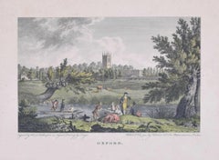
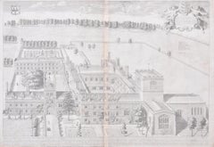
- Oxford 18th century engraving after Edward DayesLocated in London, GBTo see our other views of Oxford and Cambridge, scroll down to "More from this Seller" and below it click on "See all from this Seller" - or send us a message if you cannot find the ...Category
1790s Landscape Prints
MaterialsEngraving
- Map of Oxfordshire coloured 18th century engraving by Thomas KitchinBy Thomas KitchinLocated in London, GBTo see our other original maps, scroll down to "More from this Seller" and below it click on "See all from this Seller" - or send us a message if you cannot find the poster you want....Category
1760s Landscape Prints
MaterialsEngraving
- Jesus College, Cambridge engraving by David LogganBy David LogganLocated in London, GBTo see our other views of Oxford and Cambridge, scroll down to "More from this Seller" and below it click on "See all from this seller" - or send us a message if you cannot find the ...Category
1690s Realist Landscape Prints
MaterialsEngraving
- The Divinity School, University of Oxford David Loggan 1675 engravingBy David LogganLocated in London, GBTo see our other views of Oxford and Cambridge, scroll down to "More from this Seller" and below it click on "See all from this seller" - or send us a message if you cannot find the ...Category
1670s Realist Landscape Prints
MaterialsEngraving
- Cambridgeshire map 17th century engraving by Kip after SaxtonLocated in London, GBTo see more, scroll down to "More from this Seller" and below it click on "See all from this Seller." William Kip (active 1598 - 1610) after Christopher Saxton (1540 - 1610). Map o...Category
1630s Landscape Prints
MaterialsEngraving
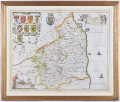
- Map of Northumberland by Joan BlaeuBy Joan (Johannes) BlaeuLocated in London, GBTo see our other original maps, scroll down to "More from this Seller" and below it click on "See all from this Seller" - or send us a message if you cannot find the poster you want....Category
1660s Landscape Prints
MaterialsEngraving


You May Also Like
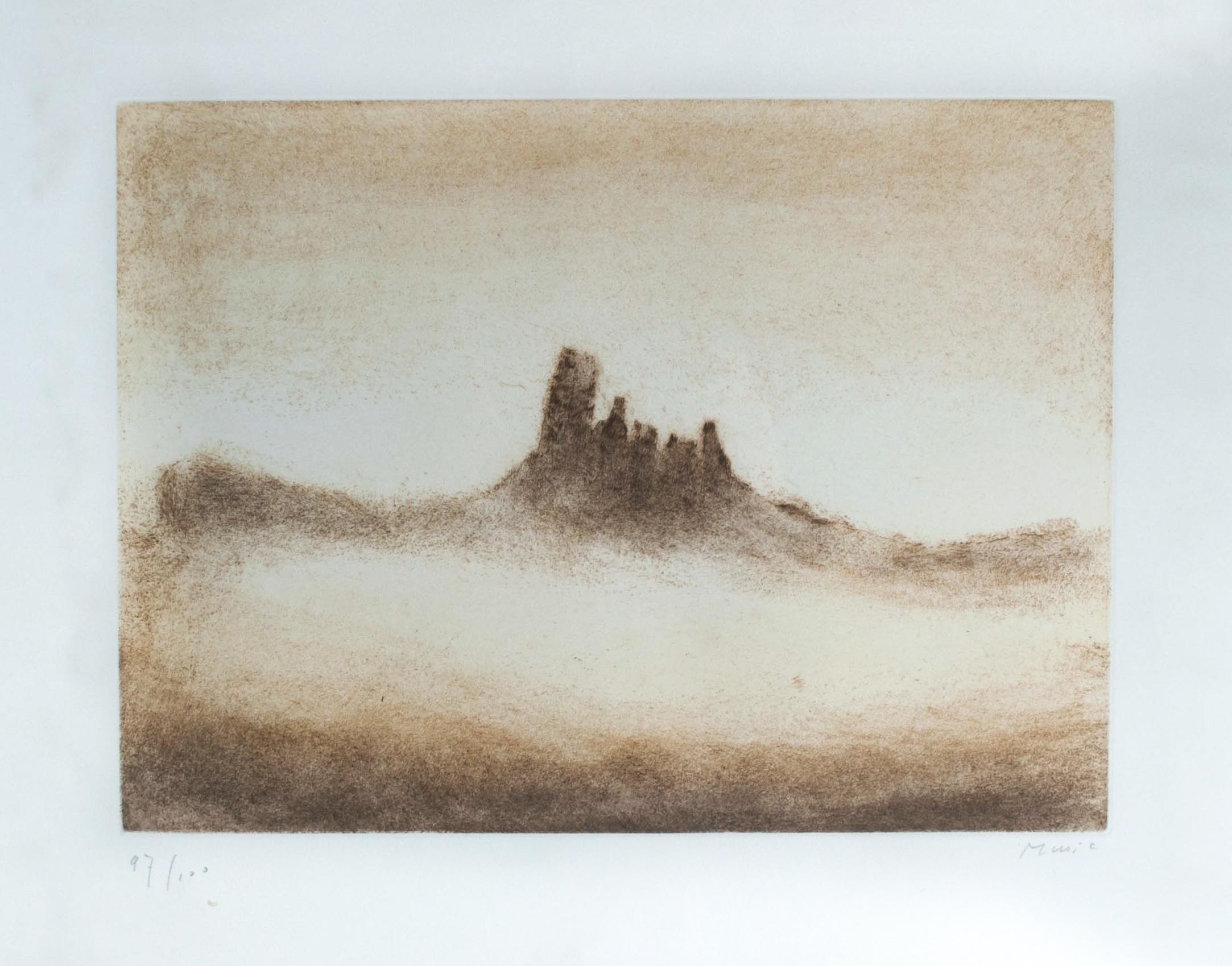
- Cinque TorriBy Zoran Antonio MusicLocated in Ljubljana, SICinque Torri. Original color drypoint and etching, 1975. Edition of 100 signed and numbered impressions on Arches paper. Zoran Mušič is one of the most celebrated Slovenian artists,...Category
1970s Post-Modern Landscape Prints
MaterialsDrypoint, Etching
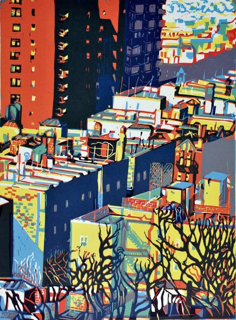
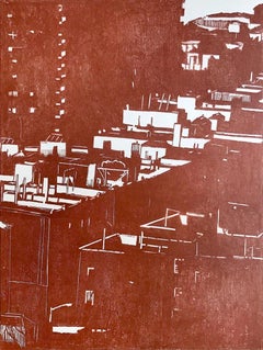
- From the height rouge, New-YorkLocated in PARIS, FRIt is certainly the most appropriate translation of Pascale Hémery’s work, which takes a look at the places visited on a daily basis and during her travels abroad. This look is the s...Category
21st Century and Contemporary Contemporary Landscape Prints
MaterialsEngraving
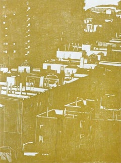
- From the heights II - New YorkLocated in PARIS, FRIt is certainly the most appropriate translation of Pascale Hémery’s work, which takes a look at the places visited on a daily basis and during her travels abroad. This look is the...Category
21st Century and Contemporary Contemporary Landscape Prints
MaterialsEngraving
- From the height jaune, New-YorkLocated in PARIS, FRIt is certainly the most appropriate translation of Pascale Hémery’s work, which takes a look at the places visited on a daily basis and during her travels abroad. This look is the s...Category
21st Century and Contemporary Contemporary Landscape Prints
MaterialsEngraving
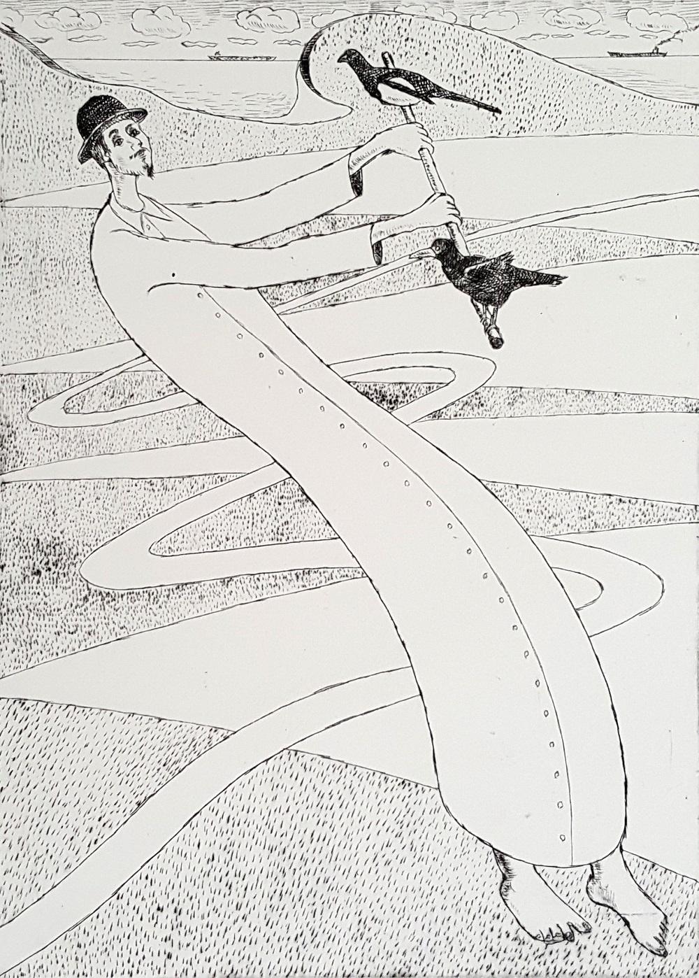
- Mountebank - XXI Century, Contemporary Figurative DryPoint Etching PrintBy Czeslaw TumielewiczLocated in Warsaw, PLPolish painter and graphic designer, Czeslaw Tumielewicz was born in 1942. In 1968, he studied at the Architecture faculty of Gdank, before continuing his course at the Technical Un...Category
2010s Contemporary Figurative Prints
MaterialsPaper, Etching, Drypoint
- L'Isle de France: A Hand-colored 17th Century Map by De WitBy Frederick de WitLocated in Alamo, CAThis colorful and detailed 17th century hand-colored copperplate map by Frederick De Wit was published in Amsterdam between 1666 and 1760. The map depicts the Île-de-France, which is one of the ancient provinces of France. Paris is located in the center of the map, with Versailles to the southwest The map extends from Rouen in the west to Reims in the east. The area around Paris, the Véxin Français, was the original domain of the king of France. Other areas were ruled by French feudal lords. For example, the Véxin Normand area was the domain of the Duke of Normandy...Category
Early 18th Century Old Masters More Prints
MaterialsEngraving


Recently Viewed
View AllMore Ways To Browse
Antique Engraving Plates
Antique Sellers
Antique Click
Antique Accounting
Landscape Maps
18th Century English Prints
Historical Antiquities
Antique Survey
18th Century City View
Sellers Account
London Map Art Print
Queen Elizabeth Prints
Antique Prints Ireland
London City Map
Britannia Designs
Antique London Map Print
Survey Map
Great Britain Maps