Items Similar to 1877 "Geological and Geographical Atlas of Colorado" by F. V. Hayden


Want more images or videos?
Request additional images or videos from the seller
1 of 8
1877 "Geological and Geographical Atlas of Colorado" by F. V. Hayden
About the Item
This is F. V. Hayden's Geological and Geographical Atlas of Colorado and Portions of Adjacent Territory, an unmatched geological record for its time. Published by the Department of the Interior in 1877, the Atlas of Colorado consists of twenty double elephant sized sheets, divided into two series. The first series, four sheets, embrace the entire area on a scale of twelve miles to an inch, and include Triangulations, Drainage, an Economic Map, and a General Geological map. The second series consists of twelve sheets in pairs, six representing general topographical features of Northwest, North, Central, West, Southwest, and South Central Colorado, and six of the identical, corresponding areas with colored, geological delineations. These sheets are on scale of four miles to the inch. The final four sheets are two geological sections and two panoramic views.
In 1867, the government-funded, systematic surveying and mapping of Western geology and geography began in earnest. Scientists, geologists, and military engineers organized a group of experts to travel through the West, mapping and cataloging the land and its resources. Between 1867 and 1879, Congress authorized and funded four significant surveys, under four leaders: the Powell Survey, under John Wesley Powell (1870–78); the King Survey, led by Clarence King (1867–78); the Wheeler Survey, under Lieutenant George M. Wheeler (1871–79); and the Hayden Survey, led by Ferdinand Vandeveer Hayden (1867–79). The four surveys consolidated into the United States Geological Survey (USGS).
The Hayden Survey was the largest and best funded of the four major surveys. Hayden wrote that he felt a comprehensive survey of Colorado would “yield more useful results, both of a practical and scientific character. . . . The prospect of its [Colorado’s] rapid development within the next five years, by some of the most important railroads of the West, renders it very desirable that its resources be made known to the world at as early a date as possible” (Hayden 1874, 11).
The area of Colorado of most interest to Hayden was the mountains and western plateaus of the territory. His survey looked at the prairie-mountain interface, but did not venture very far eastward into the plains. Hayden felt that the plains’ geology was not of much interest in either a resource or scientific sense, due to its relatively simple geology, few mineralogical resources, and limited use beyond farming and ranching.
The Atlas required the concerted efforts of all Hayden field parties for several years. Hayden’s method of operation was to create nearly-independent survey teams or divisions, which would work in separate locations throughout the field season. Each survey division consisted of a topographer or cartographic and surveying expert, one or two geologists, one or more natural scientists (i.e. a paleontologist, botanist, or zoologist), and enough support men to run the camp and care for the mules. Three or four of these divisions were used each year. Each team was responsible for areas of 5,000 square miles or more. The fourth team was headed by Hayden himself.
This meticulous survey was the only one of a single state or territory ever completed in such depth. Hayden’s scientific research made Colorado the most intensively studied place in the entire West, with the possible exception of California. His surveys and the resulting data output created an unparalleled number of publications , the most significant being the Atlas of Colorado.
The Atlas of Colorado was well received in the scientific community. An August 1878 Geological Magazine review by T. Oldham celebrated:
“We have the results of four years’ labour (1873-74-75-76) produced and published in a finished site in the year 1877! And such four years of labour as these must have been! An area exceeding that of Ireland, in most parts inaccessible, everywhere difficult to travel in, open to disturbances, for fears of disturbances, from unsettled Indian tribes, where everything had to be carried with the observer, and he thrown entirely on his own resources, and such limited aid as he could bring with him; such an area has been triangulated, measured, physically examined, and mapped; its drainage carefully determined, its economic and agricultural divisions noted, and its geological structure carefully investigated. We have no hesitation in saying Prof. Hayden may justly point to this as a success, rarely ever approached, probably never equalled. And may justly recount with pride the names of those few who have so ably and so untiringly carried out his wishes.”
This Atlas of Colorado is a classic example of Western Americana and exemplifies the best cartographic, geologic, and illustrative work of the Hayden survey. It would make a stellar addition to any serious collector’s library.
CONDITION:
First edition, elephant folio, title page, list of sheets, plus 20 double-page folding color and black and white lithographic topographical and geological maps.
Bound in original boards and beautifully presented in calf leather and cloth clamshell with raised, gilt spine and a Colorado mountain range image on the front of the clamshell.
Volume shows beautifully, with mild signs of wear and age. Paper healthy, with minimal evidence of foxing or staining. The maps are bright, vibrant, and crisp, with color still fully intact.
- Dimensions:Height: 28.5 in (72.39 cm)Width: 21 in (53.34 cm)Depth: 2.5 in (6.35 cm)
- Materials and Techniques:
- Place of Origin:
- Period:
- Date of Manufacture:1877
- Condition:Wear consistent with age and use.
- Seller Location:Colorado Springs, CO
- Reference Number:
About the Seller
4.9
Platinum Seller
These expertly vetted sellers are 1stDibs' most experienced sellers and are rated highest by our customers.
Established in 2010
1stDibs seller since 2011
402 sales on 1stDibs
Typical response time: <1 hour
- ShippingRetrieving quote...Ships From: Colorado Springs, CO
- Return PolicyA return for this item may be initiated within 10 days of delivery.
More From This SellerView All
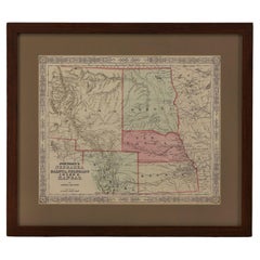
- 1907 Map of Colorado, Antique Topographical Map, by Louis NellLocated in Colorado Springs, COThis highly detailed pocket map is a topographical map of the state of Colorado by Louis Nell from 1907. The map "has been complied from all availabl...Category
Antique Early 1900s American Maps
MaterialsPaper
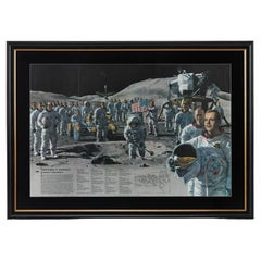
- "Teammates in Mankind's Greatest Adventure" Signed Poster by National GeographicLocated in Colorado Springs, COPresented is an original autographed poster from a 1973 issue of National Geographic magazine, celebrating the historic Apollo missions from the fir...Category
Vintage 1970s American Mid-Century Modern Posters
MaterialsPaper
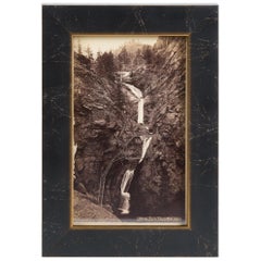
- Seven Falls Colorado Springs Antique Photographic Postcard, circa 1880Located in Colorado Springs, COPresented is an antique photographic postcard of Seven Falls, Colorado, from 1880. Postcard production blossomed in the late 1800s and early 1900s, as railroads opened up much of the Western frontier to new and exciting travel opportunities. Seven Falls is one of Colorado’s most captivating natural wonders. Located at the base of the Front Range, this magnificent series of waterfalls is situated in a 1,250-foot-wall box canyon between the towering Pillars of Hercules and boasts a 181-foot drop of falling water. Seven Falls was originally part of land given to Nathan Colby in 1872 as part of the Homestead Act of 1862. The Homestead Act granted 160 acres of surveyed land to pioneers in the west, with claimants required to “improve” the plot by building a dwelling and cultivating the land. Mr. Colby promptly sold the track of land to James Hull...Category
Antique 1880s American Historical Memorabilia
MaterialsPaper
- 1865 "Johnson's California, Utah, Nevada, Colorado, New Mexico, Arizona" MapLocated in Colorado Springs, COPresented is an original 1865 "Johnson's California, with Territories of Utah, Nevada, Colorado, New Mexico, and Arizona” map. First published in 1864, thi...Category
Antique Mid-19th Century Maps
MaterialsPaper
- 1865 "Johnson's Nebraska, Dakota, Colorado, Idaho & Kansas" Map, Johnson & WardLocated in Colorado Springs, COPresented is an original 1865 "Johnson's Nebraska, Dakota, Colorado, Idaho & Kansas” map. This map was issued as page 63 in the 1865 edition of “Johnson's N...Category
Antique Mid-19th Century Maps
MaterialsPaper
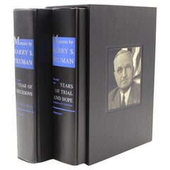
- Memoirs: Year of Decisions and Years of Trial and Hope, Signed by Harry TrumanLocated in Colorado Springs, COTruman, Harry. Memoirs by Harry S. Truman: Year of Decisions [and] Years of Trial and Hope. New York: Doubleday & Company, 1955-1956. Special Kansas City Limited Edition. Two Volumes...Category
Vintage 1950s American Mid-Century Modern Books
MaterialsPaper


You May Also Like
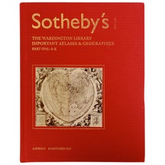
- Sotheby's The Wardington Library, Important Atlases and Geographies, Part 1 A-KLocated in valatie, NYSotheby's: The Wardington Library, Important Atlases and Geographies. Part One: A-K., London, 18 October 2005. 1st Ed hardcover catalog with 244 lots photographed in color and fully ...Category
Early 2000s English Books
MaterialsPaper
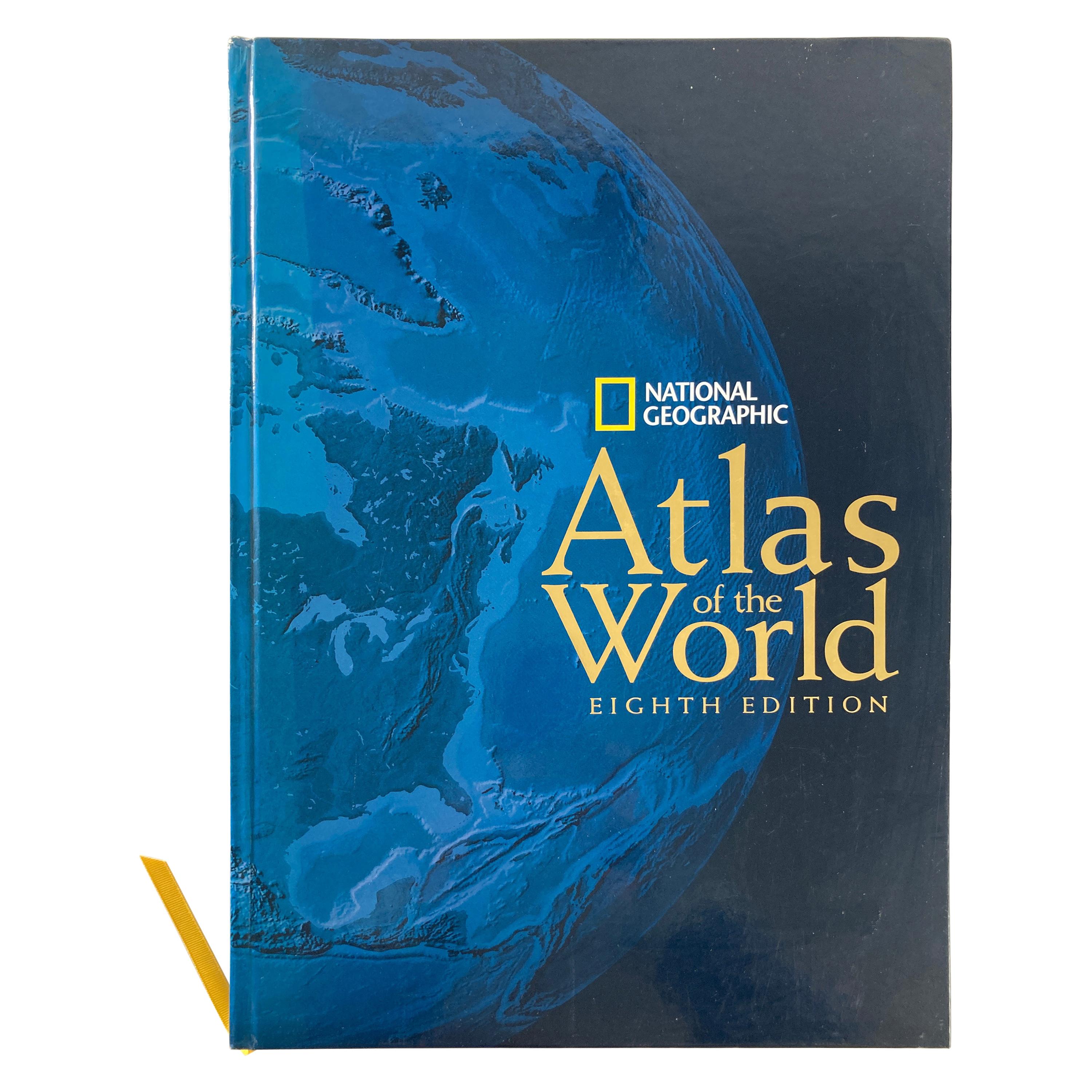
- National Geographic Atlas of the World, Eighth Edition Hardcover BookLocated in North Hollywood, CANational Geographic Atlas of the World, Eighth Edition National Geographic This is a beautiful large library or hardcover coffee table book. Title: National Geographic Atlas of th...Category
Early 2000s Maltese Mid-Century Modern Books
MaterialsPaper
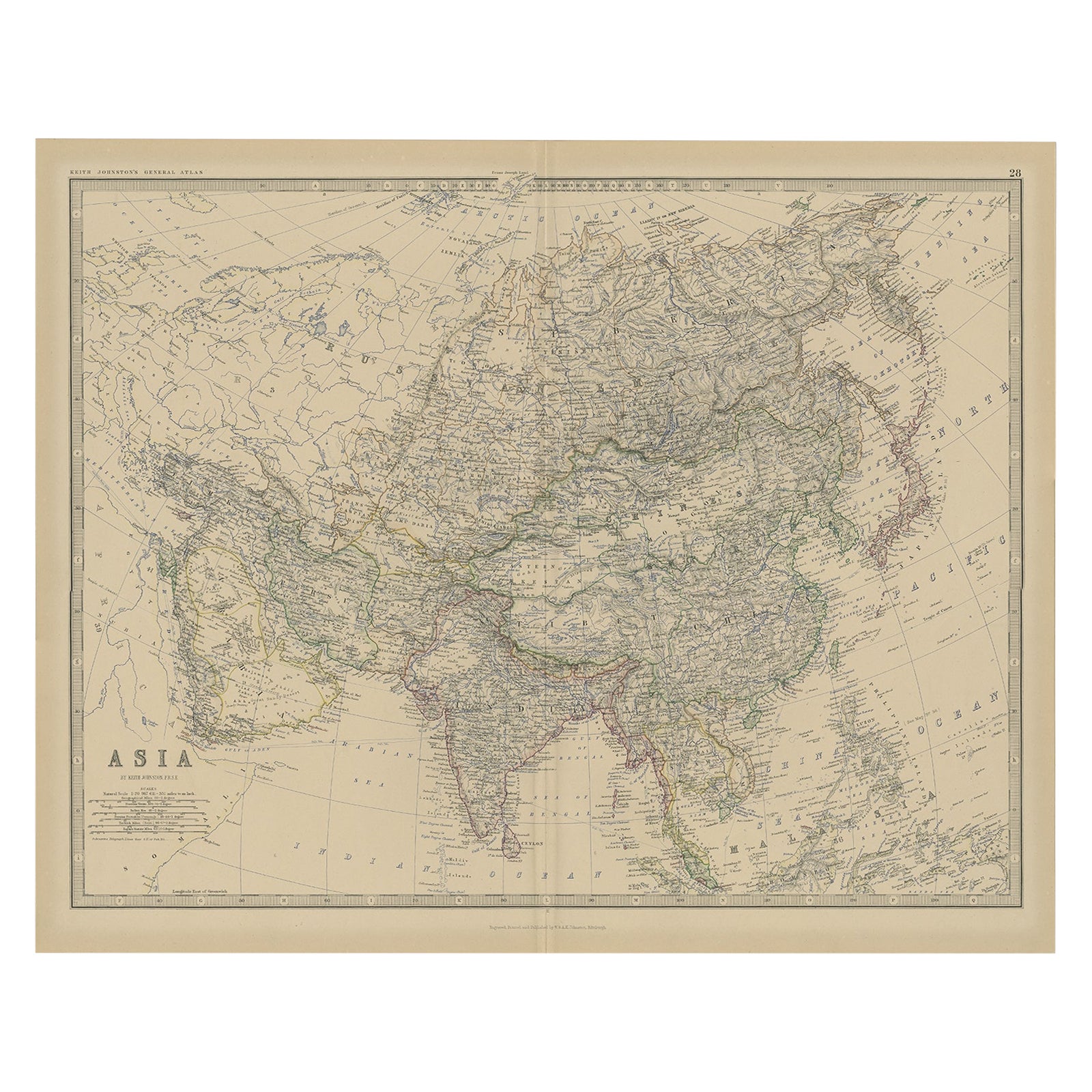
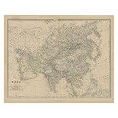
- Large Antique Map of Asia The Royal Atlas of Modern Geography by Johnston, 1882Located in Langweer, NLAntique map titled 'Asia'. Old map of the Asian continent. This map originates from 'The Royal Atlas of Modern Geography, Exhibiting, in a Series of Entirely Original and Authentic M...Category
Antique 19th Century Maps
MaterialsPaper
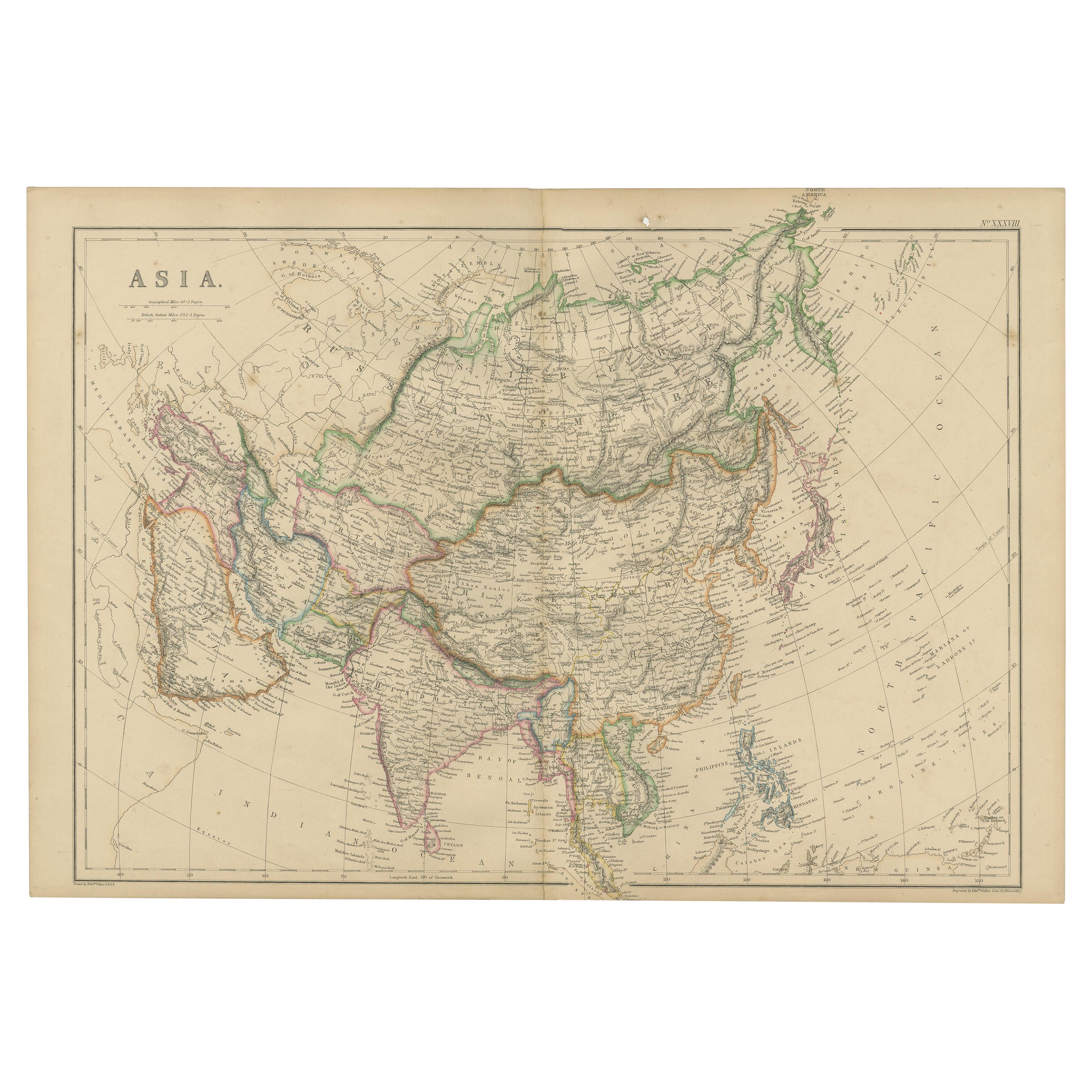
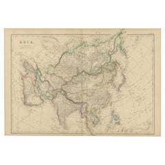
- Original 1859 Map of Asia from W.G. Blackie's Imperial Atlas of Modern GeographyLocated in Langweer, NLAntique map titled 'Asia'. Original antique map of Asia. This map originates from ‘The Imperial Atlas of Modern Geography’. Published by W. G. Blackie, 1859. The "Classic Cartograph...Category
Antique Mid-19th Century Maps
MaterialsPaper
- Antique Geological Map of the World by Johnston '1850'Located in Langweer, NLAntique map titled 'The Geological Structure of the Globe'. Original antique geological map of the world. This map originates from 'The Physica...Category
Antique Mid-19th Century Maps
MaterialsPaper
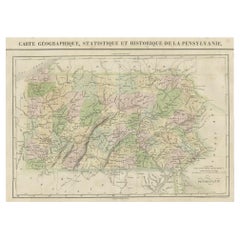
- French Geographical, Statistical and Historical Map of Pensylvania, 1825Located in Langweer, NLTitle: Carte geographique, statistique et historique de la Pensylvanie. Beautiful Hand-Colored 1825 French Map of Pennsylvania, with a List of Prominent Rivers, Descriptions of Mountains, Climate and Government as well as a list of Colonial and post-American Revolution Governors Produced by: J. Carez in Paris. (1825) Hand colored engraved map. Relief shown by hachures. Text and tables at sides and bottom. Prime meridians: Washington and Paris. A very interesting 1825 French hand-colored map of Pennsylvania from Lucas' 1822 map, which breaks down county populations by Whites and Free Blacks. "Carte Geographique, Statistique et Historique de la Pensylvanie" Originally published in 1822 by Carey and Lea and then revised and republished in 1825 by J. A. C. Buchon (1791-1846 ) in a French edition entitled Atlas Geographique des Deux Ameriques, printed by J. Carez. Fielding Lucas, Jr. (1781-1854), a Baltimore mapmaker and publisher, drew the map. original hand-coloring. Shown on the map are parts of Maryland, Delaware, New York and New jersey. Printed on the same page as the map is geographical, statistical, and historical information about Pennsylvania, such as descriptions of the state's important rivers, a list of Governors since its founding as well as important French and Indian...Category
Antique 1820s Maps
MaterialsPaper


Recently Viewed
View AllMore Ways To Browse
Colorado Furniture
Colorado Used Furniture
Antique Survey
Antique Colorado
Colorado Antique
Double T Leather
Colorado Used Office Furniture
Elephant Collectables
Black Leather Mules
Antique Furniture Colorado
Leather Elephant
King Of Ireland
Used Head Boards
Antique South Indian Furniture
South Indian Antique Furniture
Antique Mule
King George V
Antique Three Wheeler