Items Similar to Fabulous Original Antique two-sheet Map of the Caspian Sea, ca.1723


Want more images or videos?
Request additional images or videos from the seller
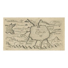
Fabulous Original Antique two-sheet Map of the Caspian Sea, ca.1723
About the Item
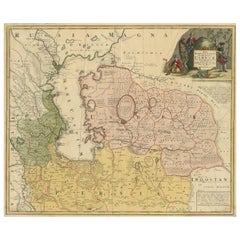
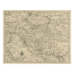
Carte Marine de la Mer Caspiene... [and] Coste de Perse sur la Mer Caspiene et Partie de Celles de Tartarie", Delisle, Guillaume (2 maps)
Subject: Caspian Sea
Period: 1723 (circa)
Publication:
Color: Hand Color
Fabulous, and important, two-sheet map is from the surveys of Karl van Verden from 1719-21. The maps are beautifully engraved with relief along the shoreline shown pictorially, and the sea is crossed with rhumb lines. The northern sheet includes three inset maps and is attractively embellished with two cartouches, one bedecked with dragons. The southern sheet includes three insets of river mouths on the Persian coast and two insets of gulfs on the coast of what is now Turkmenistan.
The Caspian Sea remained a mystery through much of cartographic history. It was originally thought to be a huge gulf in the northern ocean and was not recognized as a landlocked sea until the late medieval period. It was then presented in a variety of shapes and sizes, nearly always on an east-west axis. It was not accurately mapped until the early 18th century when the surveys of Karl van Verden were commissioned by Russia. In 1721, Peter the Great presented the French Academy a copy of the recently completed map by S.I. Soimonov and Karl van Verden. Delisle copied (in a reduced size) the original map with great care, translated the inscriptions into French, and printed it on two sheets for publication in the Academy's Bibliographie Générale des Travaux Historiques... and in his own atlases.
- Dimensions:Height: 18.39 in (46.7 cm)Width: 24.3 in (61.7 cm)Depth: 0 in (0.02 mm)
- Materials and Techniques:Paper,Engraved
- Period:1720-1729
- Date of Manufacture:ca.1723
- Condition:Excellent impressions on sheets with the watermark of a Maltese cross encircled in rosary beads and minor offsetting. The first image is a composite image - the map is in two separate sheets.
- Seller Location:Langweer, NL
- Reference Number:
About the Seller
5.0
Platinum Seller
These expertly vetted sellers are 1stDibs' most experienced sellers and are rated highest by our customers.
Established in 2009
1stDibs seller since 2017
1,950 sales on 1stDibs
Typical response time: <1 hour
- ShippingRetrieving quote...Ships From: Langweer, Netherlands
- Return PolicyA return for this item may be initiated within 14 days of delivery.
More From This SellerView All
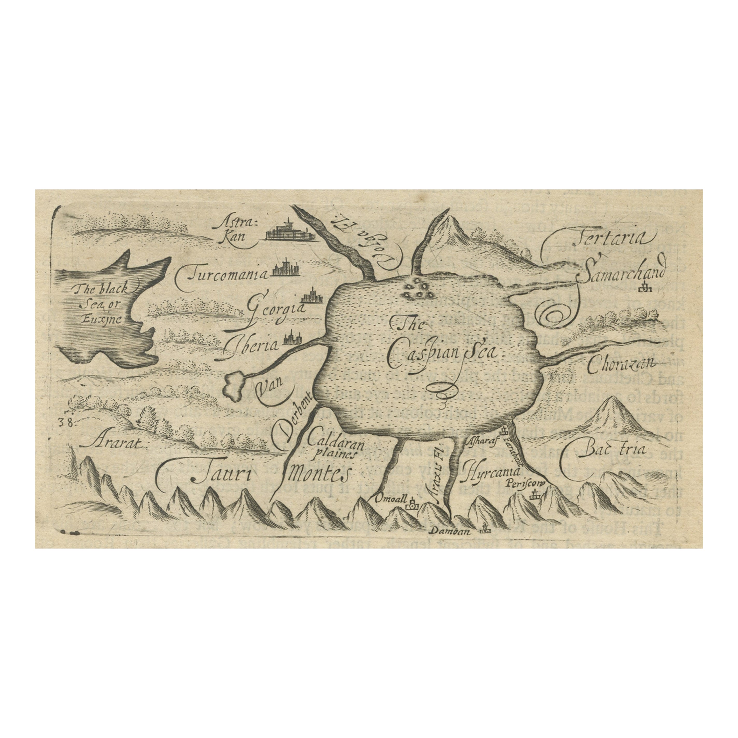
- Uncommon Miniature Map of the Region around the Caspian Sea, ca.1800Located in Langweer, NLUncommon miniature map of the region around the Caspian Sea. Including the black sea and several mountains. Source unknown, to be determined. Artist...Category
Antique Early 1800s Maps
MaterialsPaper
- Antique Map of the Caspian Sea, Uzbekistan, Northern Persia Etc, C.1735Located in Langweer, NLAntique map titled 'Nova Maris Caspii et Regions Usbeck (..).' Detailed map of Central Asia centered on the Caspian Sea, showing Uzbekistan to the east of ...Category
Antique 18th Century Maps
MaterialsPaper
- Antique Map of the Caspian Sea and Surroundings by Bellin, 1764Located in Langweer, NLAntique map titled 'Carte de la Mer Caspienne et ses Environs'. Old map depicting the region of the Caspian Sea. This map originates from 'Le Petit Atlas M...Category
Antique 18th Century Maps
MaterialsPaper
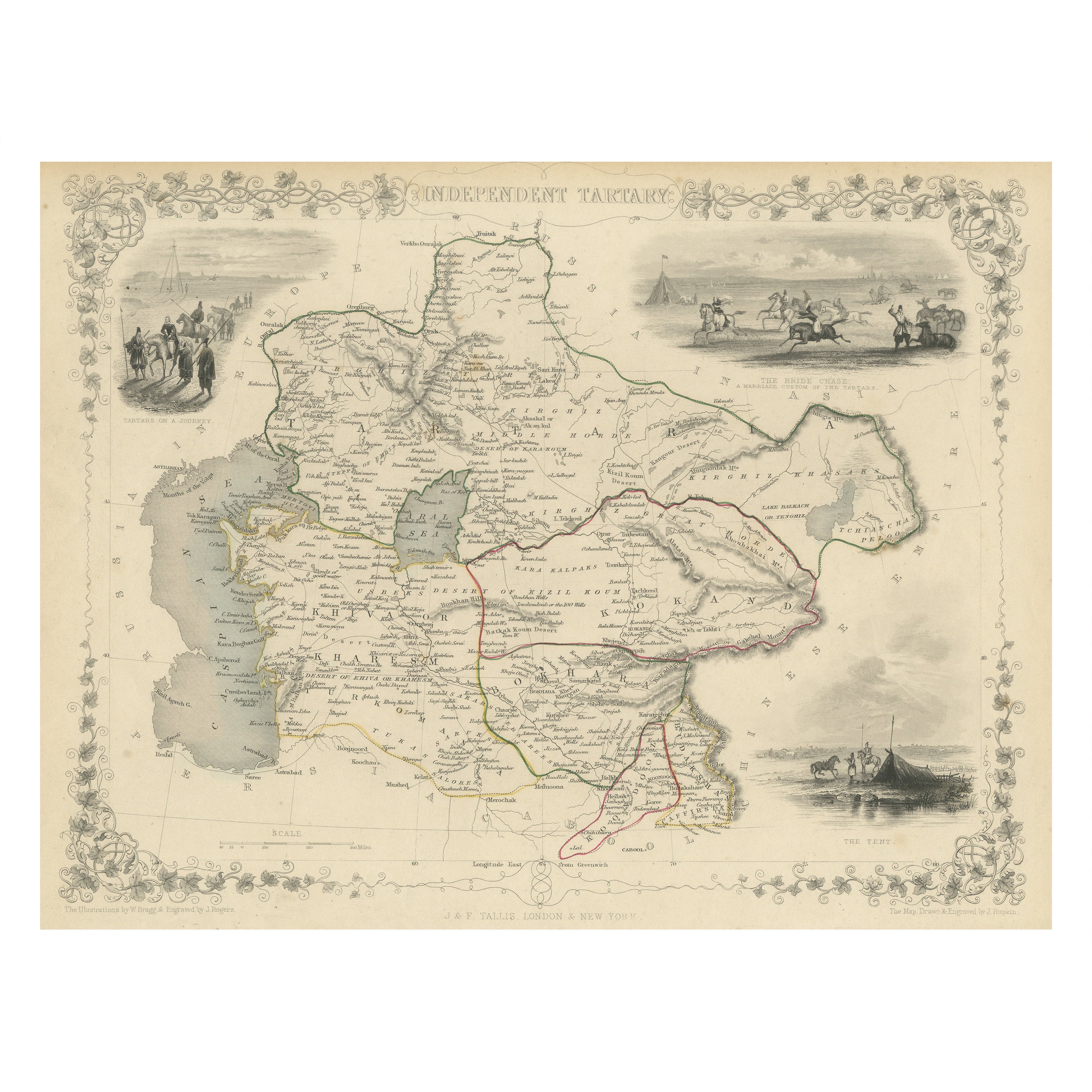
- Antique Map of Central Asia between the Caspian Sea and Lake BalkhashLocated in Langweer, NLAntique map titled 'Independent Tartary'. Original steel engraved map of Central Asia. It covers the regions between the Caspian Sea and Lake Balkhash and between Russia and Afghanis...Category
Antique Mid-19th Century Maps
MaterialsPaper
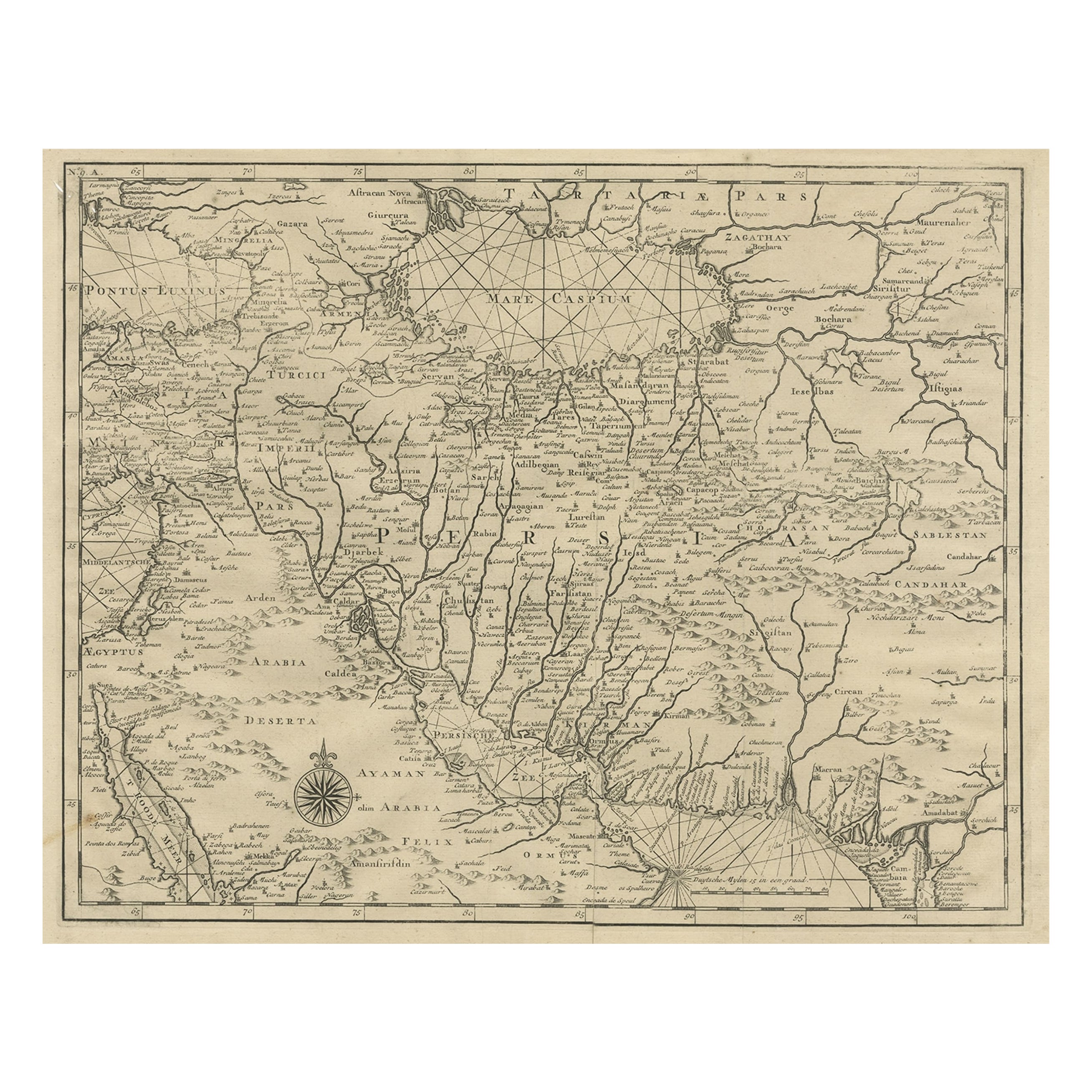
- Rare Antique Map of Persia, Incl the Caspian Sea and the Arabian Peninsula, 1726Located in Langweer, NLRare untitled antique map of Persia. It covers from the Gulf of Suez eastward to Ahmedabad (Amadabad) in modern day western India. This map, centered on Persia, includes the Caspian Sea and part of the Arabian Peninsula...Category
Antique 1720s Maps
MaterialsPaper
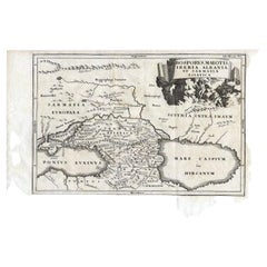
- Antique Map of the Region Between the Black and Caspian Sea by Cellarius, 1731Located in Langweer, NLAntique map titled 'Bosporus, Maeotis, Iberia, Albania, et Sarmatia Asiatica.' Map of the region between the Black and Caspian Seas in early Sarmatian time...Category
Antique 18th Century Maps
MaterialsPaper

You May Also Like
- Large Original Antique Map of The World, Fullarton, C.1870Located in St Annes, LancashireGreat map of the World. Showing both hemispheres From the celebrated Royal Illustrated Atlas Lithograph. Original color. Published by Fullarton, Edinburgh, C.1870 Unframed. Rep...Category
Antique 1870s Scottish Maps
MaterialsPaper
- Original Antique Map of the American State of Pennsylvania, 1889Located in St Annes, LancashireGreat map of Pennsylvania Drawn and Engraved by W. & A.K. Johnston Published By A & C Black, Edinburgh. Original colour Unframed. Repair to a minor tear on bottom edge.Category
Antique 1880s Scottish Victorian Maps
MaterialsPaper
- Original Antique Map of the American State of Washington, 1889Located in St Annes, LancashireGreat map of Washington Drawn and Engraved by W. & A.K. Johnston Published By A & C Black, Edinburgh. Original colour Unframed.Category
Antique 1880s Scottish Victorian Maps
MaterialsPaper
- Original Antique Map of the American State of Nevada, 1889Located in St Annes, LancashireGreat map of Nevada Drawn and Engraved by W. & A.K. Johnston Published By A & C Black, Edinburgh. Original colour Unframed.Category
Antique 1880s Scottish Victorian Maps
MaterialsPaper
- Original Antique Map of the American State of Oregon, 1889Located in St Annes, LancashireGreat map of Oregon Drawn and Engraved by W. & A.K. Johnston Published By A & C Black, Edinburgh. Original colour Unframed.Category
Antique 1880s Scottish Victorian Maps
MaterialsPaper
- Original Antique Map of Missouri, 1889Located in St Annes, LancashireGreat map of Missouri Drawn and Engraved by W. & A.K. Johnston Published By A & C Black, Edinburgh. Original colour Unframed.Category
Antique 1880s Scottish Victorian Maps
MaterialsPaper


Recently Viewed
View AllMore Ways To Browse
Map Of German
Keith Johnston
1500 Map
Magellan Map
Chinese Plague
Antique Map Mexico City
Tartar Map
Antique Maps Of Kansas
Nova Scotia Map
Map Of Kentucky
Vintage Road Maps Collectables
Cornelius And Company
Pirate Map
Knoop Pomologia
Antique Map Delaware
David Kleyne
Furniture From Portugal Antique
Vintage Maps Of England