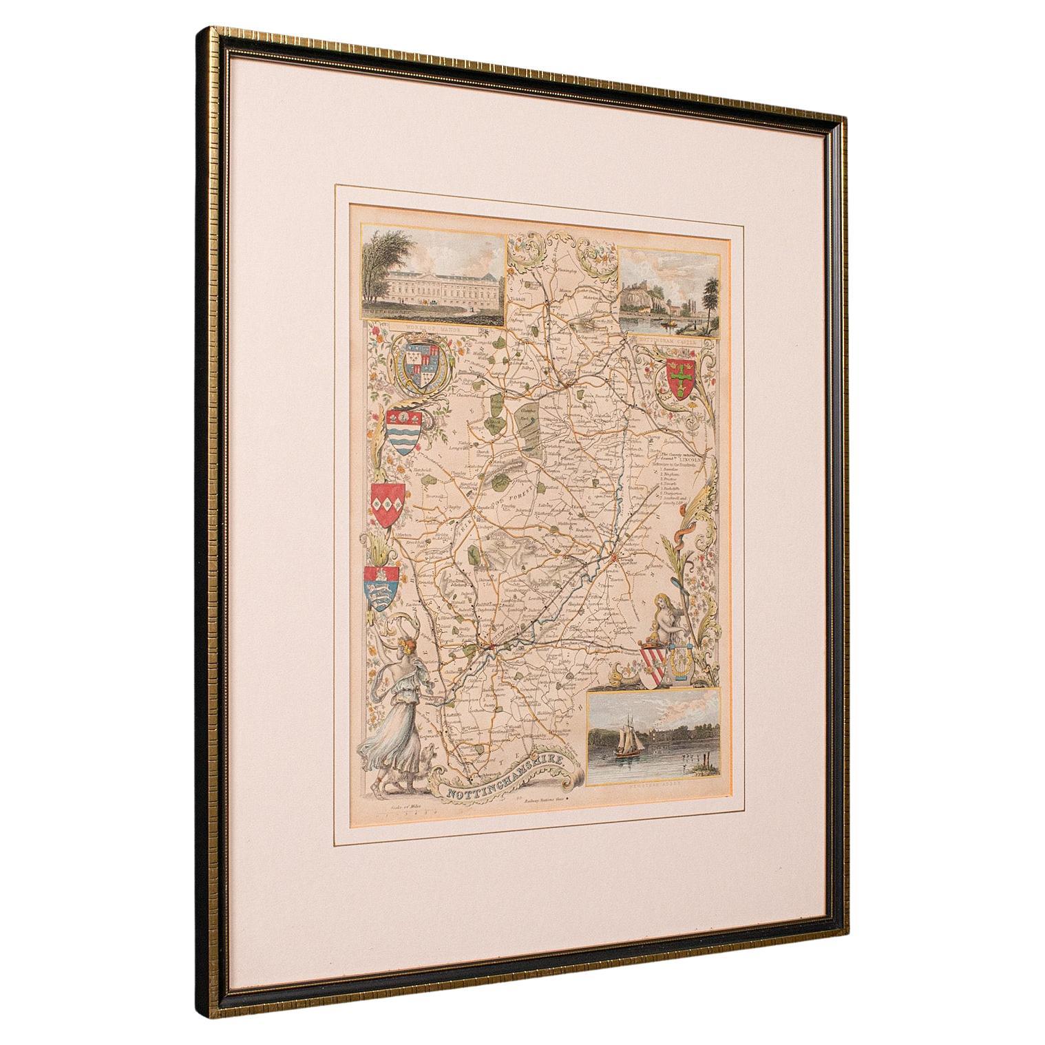
Items Similar to Map Nottinghamshire Worksop Manor Newstead Abbey Nottingham Castle Shields H37cm
Want more images or videos?
Request additional images or videos from the seller
1 of 9
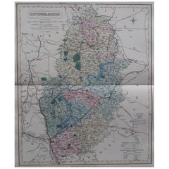
Map Nottinghamshire Worksop Manor Newstead Abbey Nottingham Castle Shields H37cm
About the Item
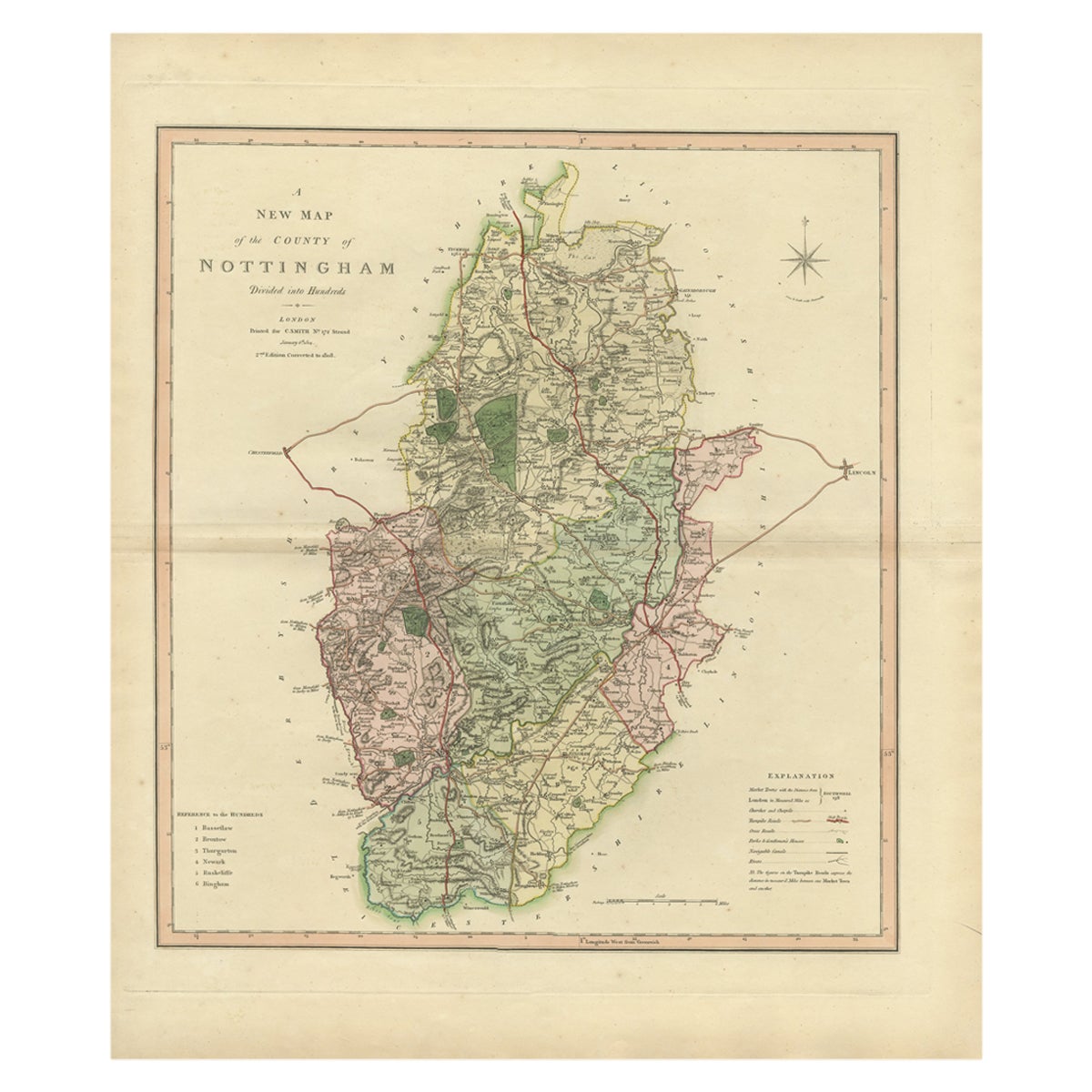
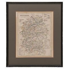
Map of Nottinghamshire with engravings of Worksop Manor Nottingham Castle Newstead Abbey
BIBLIOGRAPHY published in Barclay's Universal English Dictionary, about 1850.
Decorative steel engraved antique map with recent hand colour. The vignettes show Worksop Manor, Nottingham Castle and Newstead Abbey.
MAKER Thomas Moule (1784 – 1851)
The map is a fine example of Moule's ornate style, with heraldic shields and illustrations of Worksop Manor, Nottingham Castle and Newstead Abbey. Moule was a writer on heraldry and a map maker. He is best known for his popular and highly decorated county maps of England, steel engraved, and first published separately between 1830 and 1832.
In a modern black and gold frame of traditonal style for maps.
- Dimensions:Height: 14.57 in (37 cm)Width: 11.82 in (30 cm)Depth: 0.79 in (2 cm)
- Style:Victorian (Of the Period)
- Materials and Techniques:
- Place of Origin:
- Period:
- Date of Manufacture:1845
- Condition:Refinished. Wear consistent with age and use. usual modern colouring.
- Seller Location:BUNGAY, GB
- Reference Number:1stDibs: LU3867332641662
About the Seller
5.0
Vetted Seller
These experienced sellers undergo a comprehensive evaluation by our team of in-house experts.
Established in 1985
1stDibs seller since 2018
85 sales on 1stDibs
Typical response time: 12 hours
- ShippingRetrieving quote...Ships From: BUNGAY, United Kingdom
- Return PolicyA return for this item may be initiated within 7 days of delivery.
More From This SellerView All
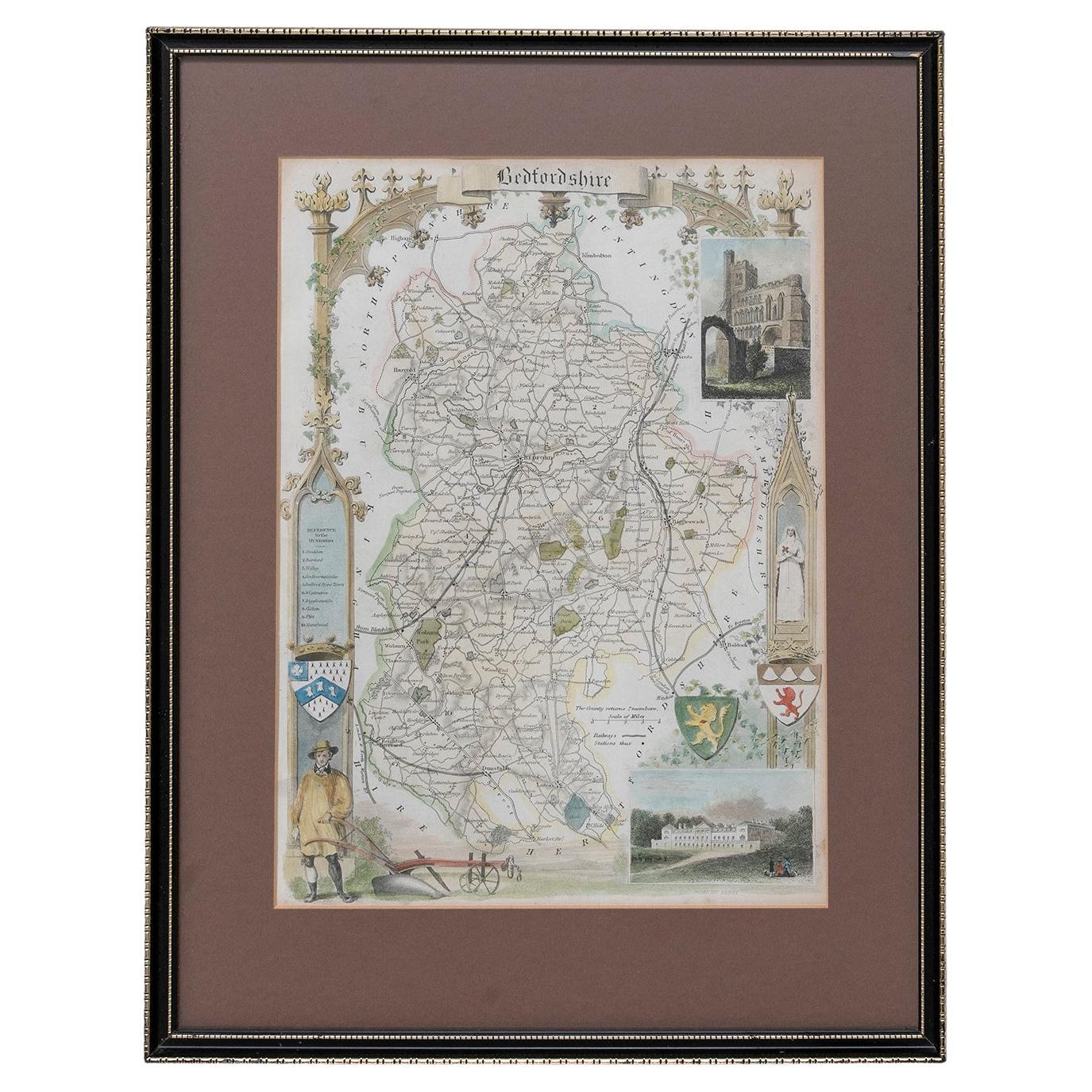
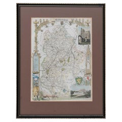
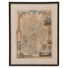
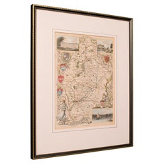
- Map Bedfordshire WilliamSchmollinger Dunstable Priory Woburn Abbey Moules GothicLocated in BUNGAY, SUFFOLKArtist William Schmollinger (1811-1869) London : George Virtue, 1832. A highly attractive map in gothick style, with an ornamental architectural border, inset views of Dunstable Priory and Woburn Abbey...Category
Antique 19th Century English Victorian Maps
MaterialsPaper
- Map Bedfordshire WilliamSchmollinger Dunstable Priory Woburn Abbey Moules GothicLocated in BUNGAY, SUFFOLKARTIST William Schmollinger (1811-1869) London : George Virtue, 1832. A highly attractive map in gothick style, with an ornamental architectural border, inset views of Dunstable Priory and Woburn Abbey...Category
Antique 19th Century English Victorian Maps
MaterialsPaper
- Map Lancashire 1793 John Cary engraver 37cm 14 1/2" highLocated in BUNGAY, SUFFOLKMap of Lancashire by John Cary engraver published 1st Jan 1793 by J Cary Engraver & Mapseller Strand in original black and gold classic map frameCategory
Antique 18th Century English Georgian Maps
MaterialsPaper
- Map Berkshire C&J Greenwood Windsor Castle JDower Polling HundredsLocated in BUNGAY, SUFFOLKMap of the County of Berkshire from an Actual Survey made in the Years 1822 & 1823 by C&J Greenwood Published by the Proprietors Greenwood & Co 13 Regent Street Pall Mall London Ju...Category
Antique 19th Century English Georgian Maps
MaterialsPaper
- Map SussexLocated in BUNGAY, SUFFOLKMap of Sussex with explanation Maker unknown.Category
Antique 19th Century English Victorian Maps
MaterialsPaper
- Map Wiltshire Joshua Archer Pentonville London framed 35cm 14" highLocated in BUNGAY, SUFFOLKMap of Wiltshire Drawn & Engraved by Joshua Archer Pentonville London Window Parts of Wiltshire in Berkshire Explanation of Salisbury County DivisionsCategory
Antique 19th Century English Georgian Maps
MaterialsPaper


You May Also Like
- Antique Nottinghamshire Map, English, Framed, Cartographic Interest, VictorianLocated in Hele, Devon, GBThis is an antique lithography map of Nottinghamshire. An English, framed atlas engraving of cartographic interest, dating to the mid 19th century and later. Superb lithography of ...Category
Antique Mid-19th Century British Victorian Maps
MaterialsWood
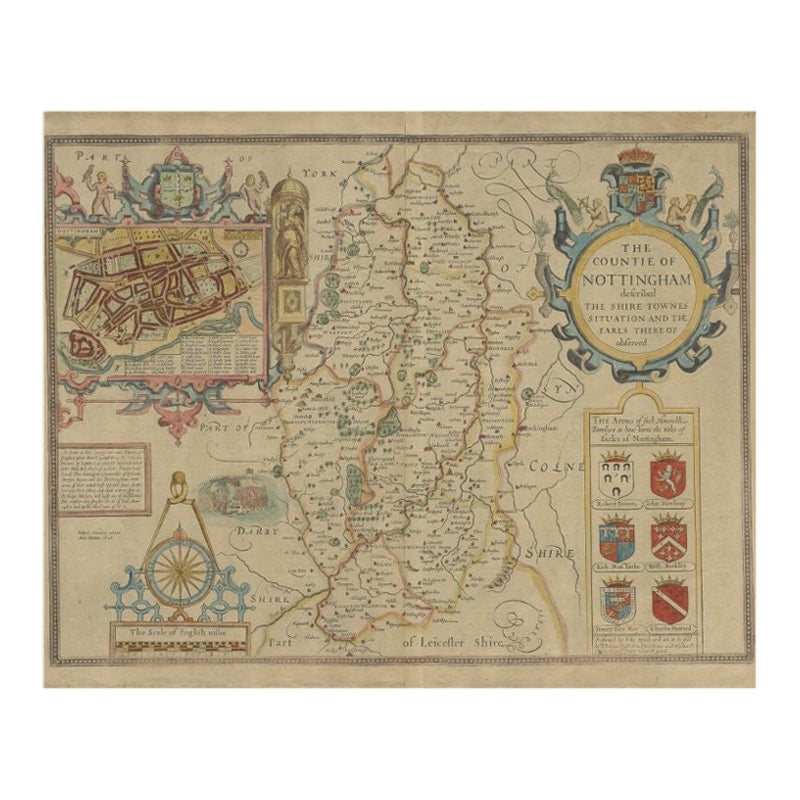
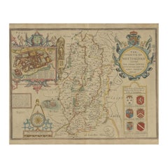
- Antique Map of Nottinghamshire by Speed, 1676Located in Langweer, NLAntique map titled 'The Countie of Nottingham (..)'. Map of Nottinghamshire, England. Includes an inset town plan of Nottingham. This map originates from 'Theatre of Great Britaine' ...Category
Antique 17th Century Maps
MaterialsPaper
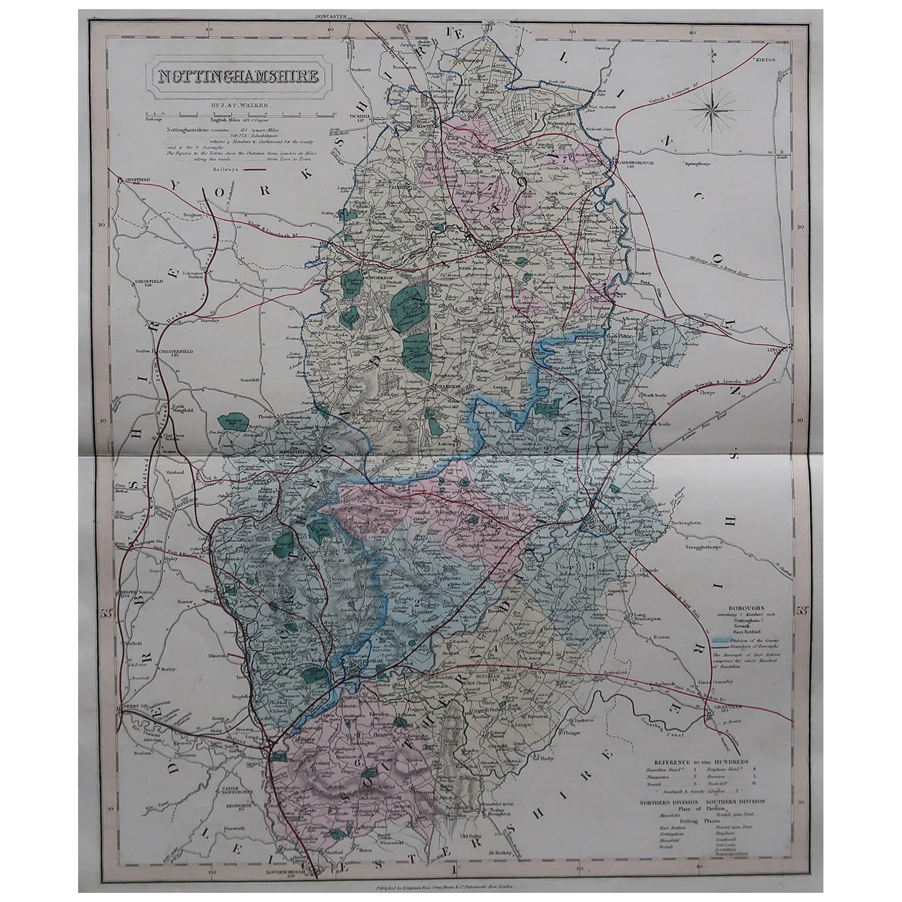
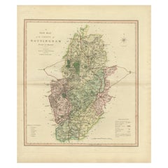
- Large Antique County Map of Nottinghamshire, EnglandLocated in Langweer, NLAntique map titled 'A Map of Nottinghamshire from the best Authorities'. Original old county map of Nottinghamshire, England. Engraved by John Cary. Originates from 'New British Atla...Category
Antique Early 19th Century Maps
MaterialsPaper
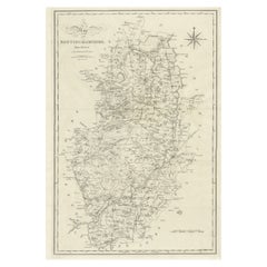
- Original Antique English County Map, Nottinghamshire, J & C Walker, 1851Located in St Annes, LancashireGreat map of Nottinghamshire Original colour By J & C Walker Published by Longman, Rees, Orme, Brown & Co. 1851 Unframed.Category
Antique 1850s English Other Maps
MaterialsPaper
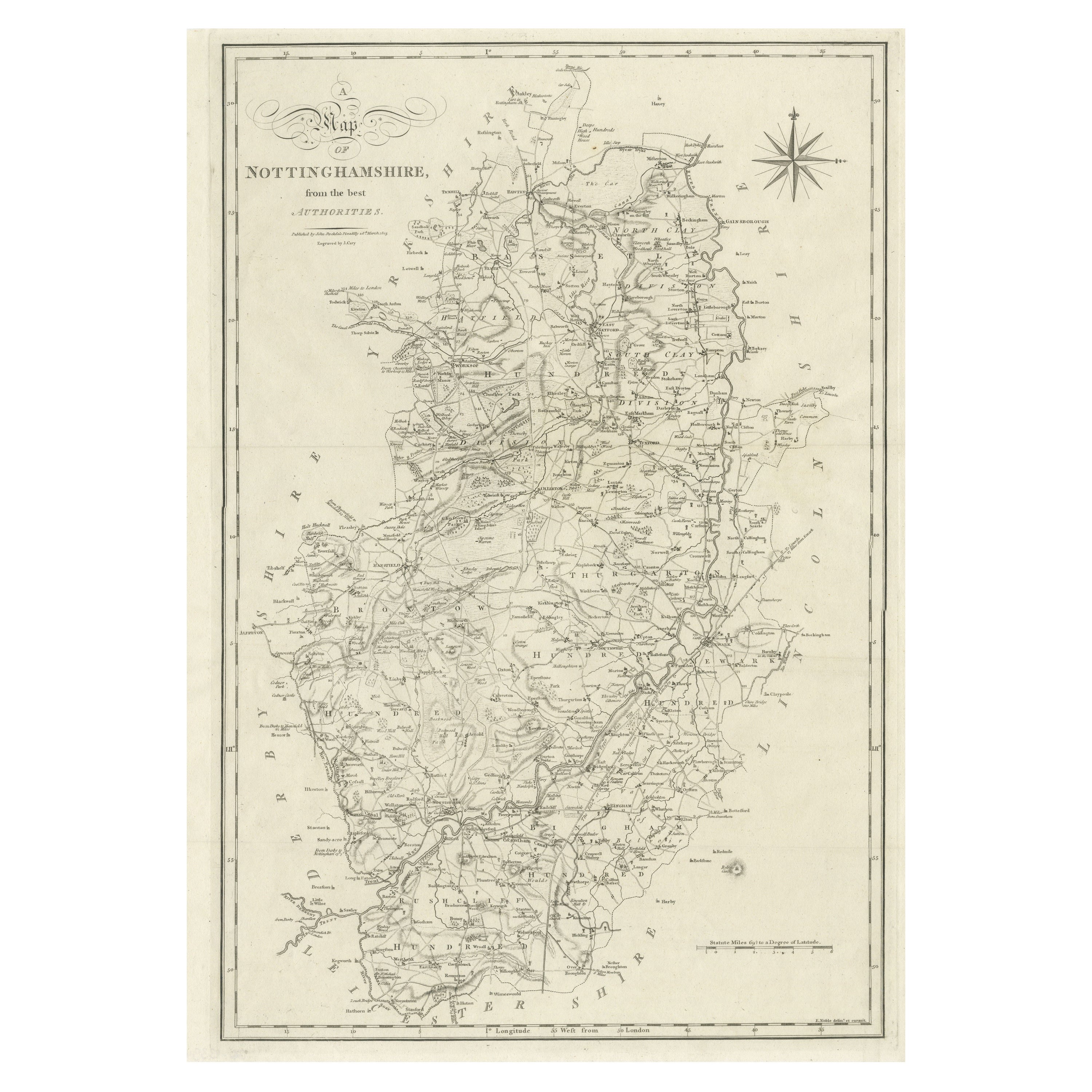
- Antique Decorative Map of The County of Nottinghamshire, England, 1804Located in Langweer, NLAntique county map of Nottinghamshire first published c.1800. Villages, towns, and cities illustrated include Worksop, Neware, Tuxford, and Maplebe...Category
Antique Early 1800s Maps
MaterialsPaper
- Antique Map of the Area around the Abbey in Soligny-la-Trappe 'c.1710'Located in Langweer, NLAntique map titled 'La nouvelle Thebaide ou la Carte tres particuliere et exacte de l'Abbaye de la Maison Dieu Nostre Dame de la Trappe (..)'. Rare, original map of the area around t...Category
Antique Early 18th Century Maps
MaterialsPaper
Recently Viewed
View AllMore Ways To Browse
Antique Castle Furniture
Modern Manor
England Shield
Antique Manor
English Manor Furniture
Gold Castle
Shield English
English Castle
Victorian Shield
Antique Abbey
Abbey Antique
Victorian Illustration
English Castle Furniture
Victorian Antique Illustrations
Antique English Dictionary
Castle Engraving
Victorian Furniture English 1830
Heraldic Shield