Items Similar to Saxtons Map of Oxtons, Bucks, Berk


Want more images or videos?
Request additional images or videos from the seller
1 of 6
Saxtons Map of Oxtons, Bucks, Berk
About the Item
Framed Saxton’s Map of Oxfordshire, Buckinghamshire, and Berkshire, 1574. Originally published as one of thirty-three maps in Christopher Saxton’s (c.1542- c.1610) Atlas of the Counties of England and Wales, this map depicts the southeastern English counties.
- Dimensions:Height: 100 in (254 cm)Width: 110 in (279.4 cm)Depth: 3 in (7.62 cm)
- Materials and Techniques:
- Place of Origin:
- Period:
- Date of Manufacture:1574
- Condition:Wear consistent with age and use. All Kingham Decorative items: the very bare minimum of restoration work may have been carried out. This is to ensure we retain the age and history of each piece, preserving the essence of originality and integrity.
- Seller Location:Alton, GB
- Reference Number:
About the Seller
No Reviews Yet
Vetted Seller
These experienced sellers undergo a comprehensive evaluation by our team of in-house experts.
Established in 2020
1stDibs seller since 2022
13 sales on 1stDibs
Typical response time: 16 hours
- ShippingRetrieving quote...Ships From: Alton, United Kingdom
- Return PolicyA return for this item may be initiated within 14 days of delivery.
More From This SellerView All
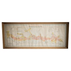
- Illustrated Map of London from ExhibtionLocated in Alton, GBDetailed illustrated map of London from the great exhibition of industry of all nations 1851.Category
Antique 19th Century Maps
MaterialsPaper
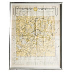
- London AA MapLocated in Alton, GBLondon AA map.Category
20th Century Maps
MaterialsPaper
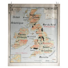
- French School Map of Uk, Double-SidedLocated in Alton, GBMap of the UK in french made for schools from the 20th century.Category
20th Century Maps
MaterialsPaper
- Gilt Framed Vintage Wine Regions of France MapLocated in Alton, GBFramed French wine region map 1973. The print has been removed to clean the glass, the frame has minor damage in places but nothing that detracts from ...Category
Vintage 1970s French Posters
MaterialsPaper
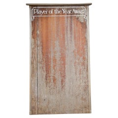
- Player of the Year Wall BoardLocated in Alton, GBA beautiful vintage wooden Player of The Year leader board with hand painted lettering. The perfect addition to any man cave or kids playroom if you consi...Category
20th Century Sports Equipment and Memorabilia
MaterialsWood
- Gilt Framed Vintage French Cote De Beaune Wine Region Poster 1972Located in Alton, GBFramed Cote De Beaune region wine map from 1972. The print has been removed to clean the glass, the frame has minor damage in places but nothing that de...Category
Vintage 1970s French Posters
MaterialsPaper


You May Also Like
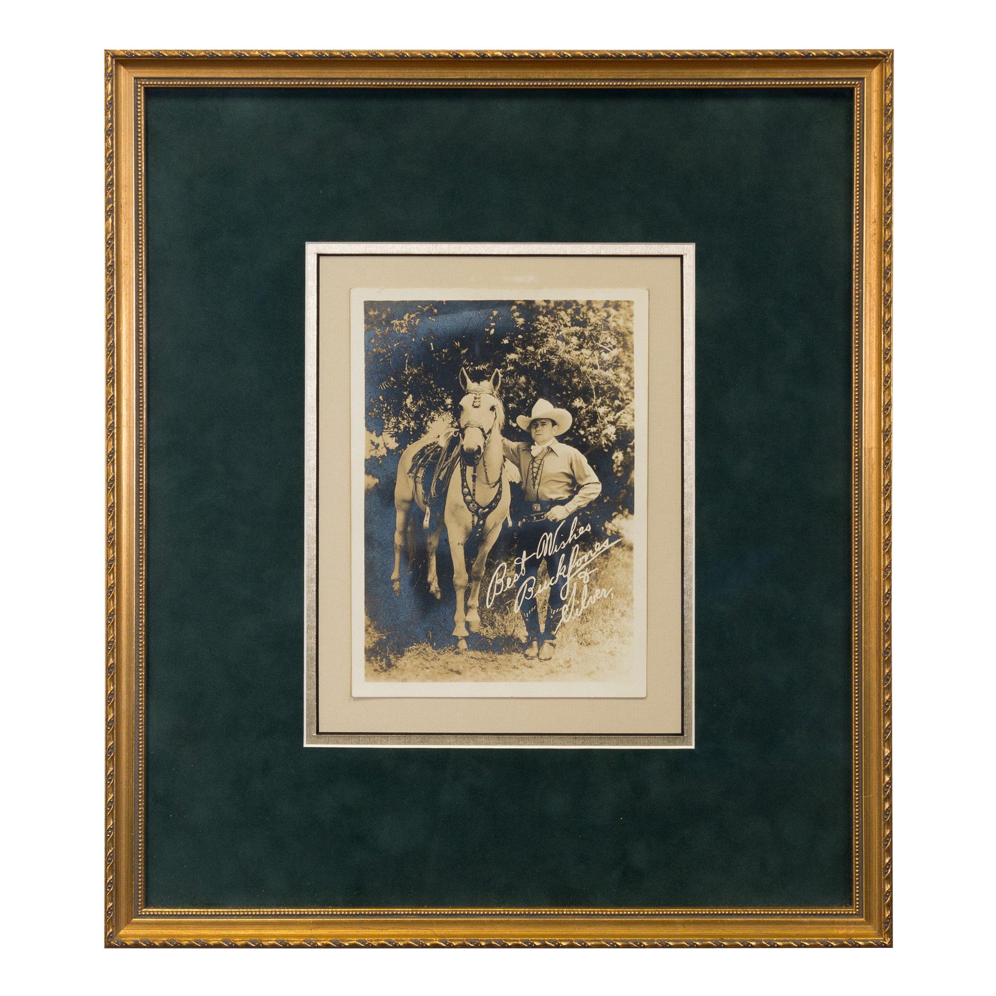
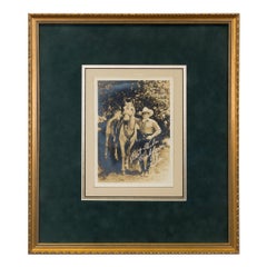
- Framed and Signed Photograph of Buck JonesLocated in Coeur d'Alene, IDMatted and framed photo of Buck Jones with note "Best Wishes Buck Jones and Silver." Period: Last half 19th century Origin: California Size: 5" x 7" frame 13" x 15" Family Owned & Operated Cisco’s Gallery deals in the rare, exceptional, and one-of-a-kind pieces that define the history of America and the Old West. Our pieces range from American Indian to Cowboy Western and include original items of everyday life, commerce, art, and warfare that tamed America’s frontier. Our 14,000 square foot gallery opened in 1996 in beautiful Coeur d’Alene, Idaho. Personal Service Cisco’s operates on old fashioned values – honesty and integrity, and all of our items are backed by our money back guarantee. We appreciate the opportunity to earn your business. Whether you desire assistance with a jewelry purchase, choosing a gift, identification, or even selling – we hope to be your trusted source. Black and white, films...Category
Antique Late 19th Century American Photography
MaterialsArt Glass
- BERK of Burlington London Black Embroidery Velvet Slip On Loafers Size 9By BerkLocated in North Hollywood, CABerk of London Velvet Slippers Size 9. by Berk of Burlington Arcade, London Men luxury hand-made, leather-soled velvet loafers, aristocratically hand embro...Category
Late 20th Century British Victorian Tobacco Accessories
MaterialsMetallic Thread
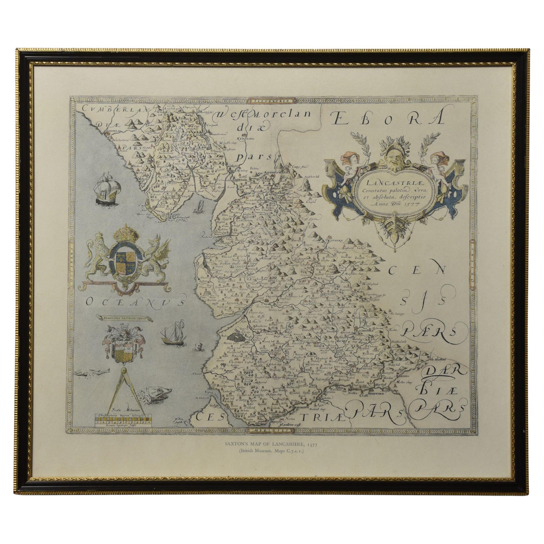
- Map of LancashireLocated in Cheshire, GBSaxton Map of Lancashire hand coloured. Encased in an ebonised frame. Dimensions Height 21 Inches Width 24 Inches Depth 1 InchesCategory
Early 20th Century British Maps
MaterialsPaper
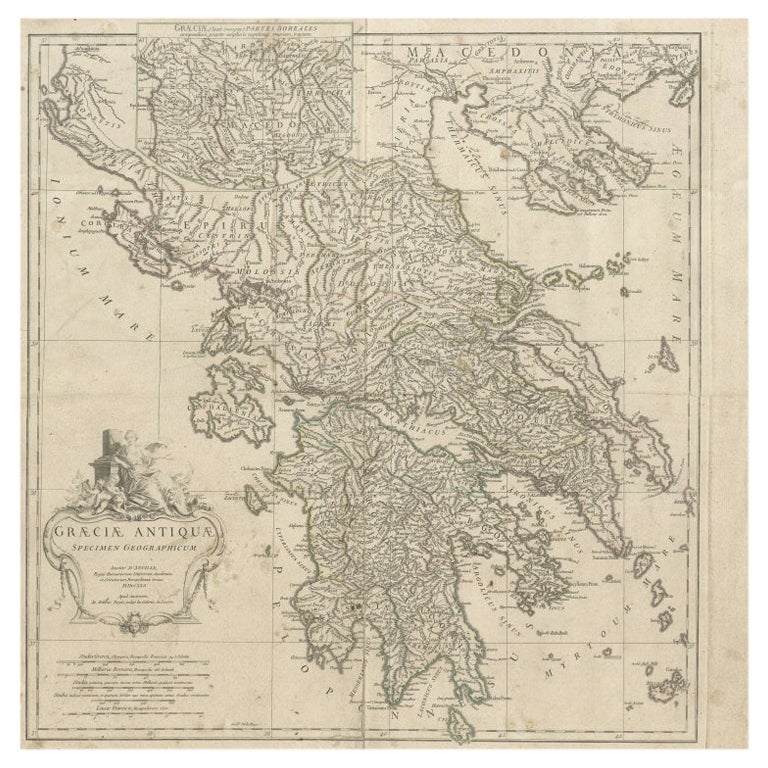
- Large Scale Map of Greece with Inset Map of Macedonia, c.1786Located in Langweer, NLAntique map titled 'Graeciae Antiquae'. Large scale map of Greece, extends south to the island of Cythera. Inset map shows details of Macedonia. Publis...Category
Antique 18th Century Maps
MaterialsPaper
- Antique Map of Denmark with an Inset Map of Iceland, 1832Located in Langweer, NLAntique map titled 'Denmark'. Large map of Denmark with an inset map of Iceland. Artists and Engravers: Published by J. Arrowsmith in London, 1832. Condition: Good, general age...Category
Antique 19th Century Maps
MaterialsPaper
- Antique Map of Greece with an Inset Map of Corfu, 1854Located in Langweer, NLAntique map titled 'Hellas or Greece'. Old map of Greece with an inset map of Corfu. This map orginates from 'General Atlas Of The World: Containing Upwards Of Seventy Maps (..)' by ...Category
Antique 19th Century Maps
MaterialsPaper


Recently Viewed
View AllMore Ways To Browse
England 16th
16th Century England
English 16th Century Furniture
16th C Frame
Berkshire Antique
Maps Wales
Map Of Wales
Berkshire Used Furniture
Bucks County Used Furniture
Bucks County Furniture
Framed Atlas Map
Antique Maps Wales
Antique Map Wales
Antique Map Of Wales
Antique Maps Of Wales
Antique Furniture Berkshire
Antique Furniture Oxfordshire
Antique Furniture Buckinghamshire