Items Similar to Illustrated Map of London from Exhibtion

Want more images or videos?
Request additional images or videos from the seller
1 of 5
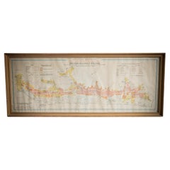
Illustrated Map of London from Exhibtion
About the Item
Detailed illustrated map of London from the great exhibition of industry of all nations 1851.
- Dimensions:Height: 35.44 in (90 cm)Width: 42.92 in (109 cm)Depth: 1.19 in (3 cm)
- Materials and Techniques:
- Period:
- Date of Manufacture:1851
- Condition:Wear consistent with age and use. All Kingham Decorative items: the very bare minimum of restoration work may have been carried out. This is to ensure we retain the age and history of each piece, preserving the essence of originality and integrity.
- Seller Location:Alton, GB
- Reference Number:
About the Seller
No Reviews Yet
Vetted Seller
These experienced sellers undergo a comprehensive evaluation by our team of in-house experts.
Established in 2020
1stDibs seller since 2022
13 sales on 1stDibs
Typical response time: 16 hours
- ShippingRetrieving quote...Ships From: Alton, United Kingdom
- Return PolicyA return for this item may be initiated within 14 days of delivery.
More From This SellerView All
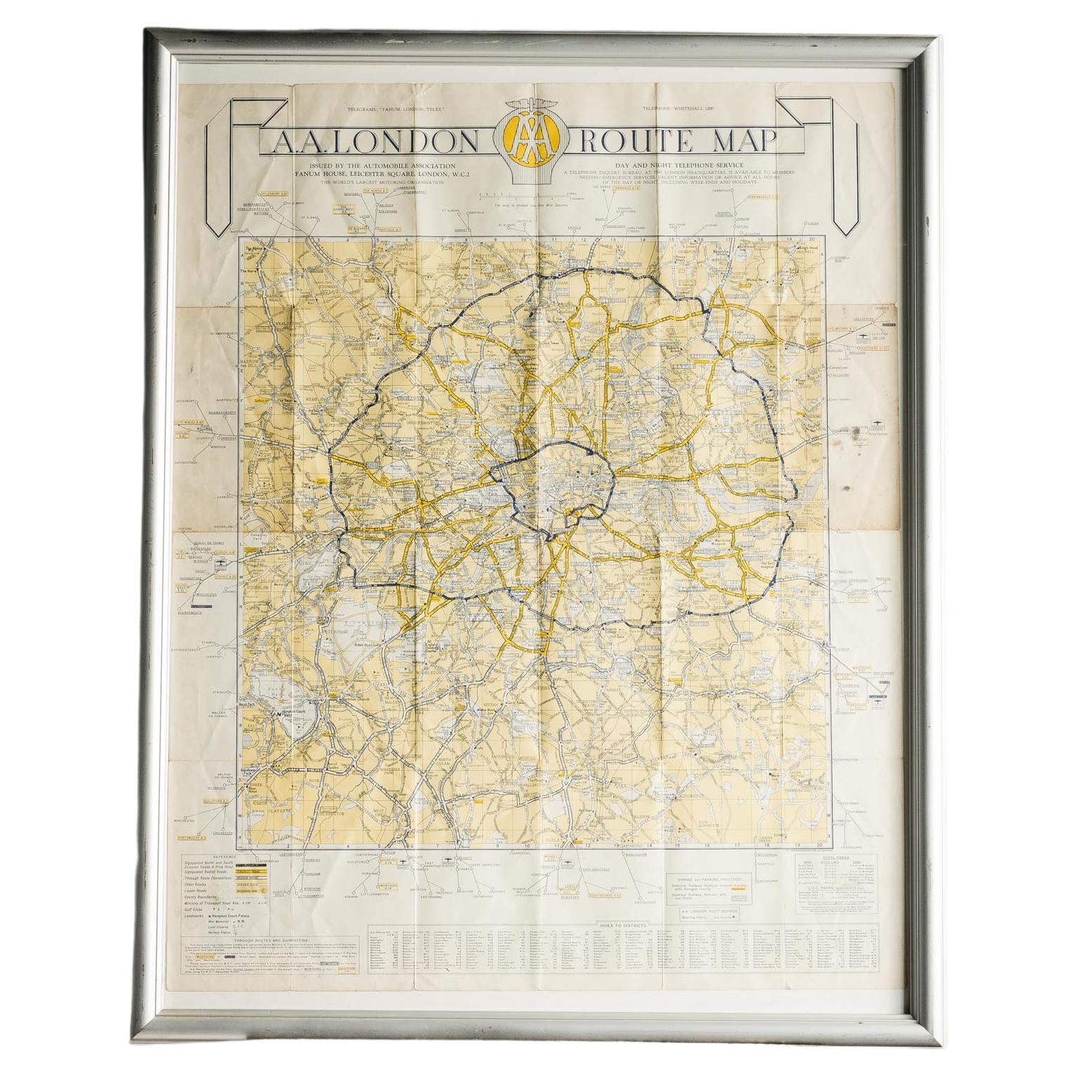
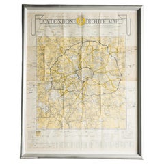
- London AA MapLocated in Alton, GBLondon AA map.Category
20th Century Maps
MaterialsPaper
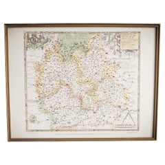
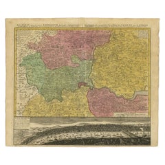
- Saxtons Map of Oxtons, Bucks, BerkLocated in Alton, GBFramed Saxton’s Map of Oxfordshire, Buckinghamshire, and Berkshire, 1574. Originally published as one of thirty-three maps in Christopher Saxton’s (c.1542- c.1610) Atlas of the Count...Category
Antique 16th Century British Maps
MaterialsPaper
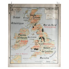
- French School Map of Uk, Double-SidedLocated in Alton, GBMap of the UK in french made for schools from the 20th century.Category
20th Century Maps
MaterialsPaper
- Gilt Framed Vintage Wine Regions of France MapLocated in Alton, GBFramed French wine region map 1973. The print has been removed to clean the glass, the frame has minor damage in places but nothing that detracts from ...Category
Vintage 1970s French Posters
MaterialsPaper
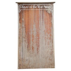
- Player of the Year Wall BoardLocated in Alton, GBA beautiful vintage wooden Player of The Year leader board with hand painted lettering. The perfect addition to any man cave or kids playroom if you consi...Category
20th Century Sports Equipment and Memorabilia
MaterialsWood
- Gilt Framed Vintage French Cote De Beaune Wine Region Poster 1972Located in Alton, GBFramed Cote De Beaune region wine map from 1972. The print has been removed to clean the glass, the frame has minor damage in places but nothing that de...Category
Vintage 1970s French Posters
MaterialsPaper

You May Also Like
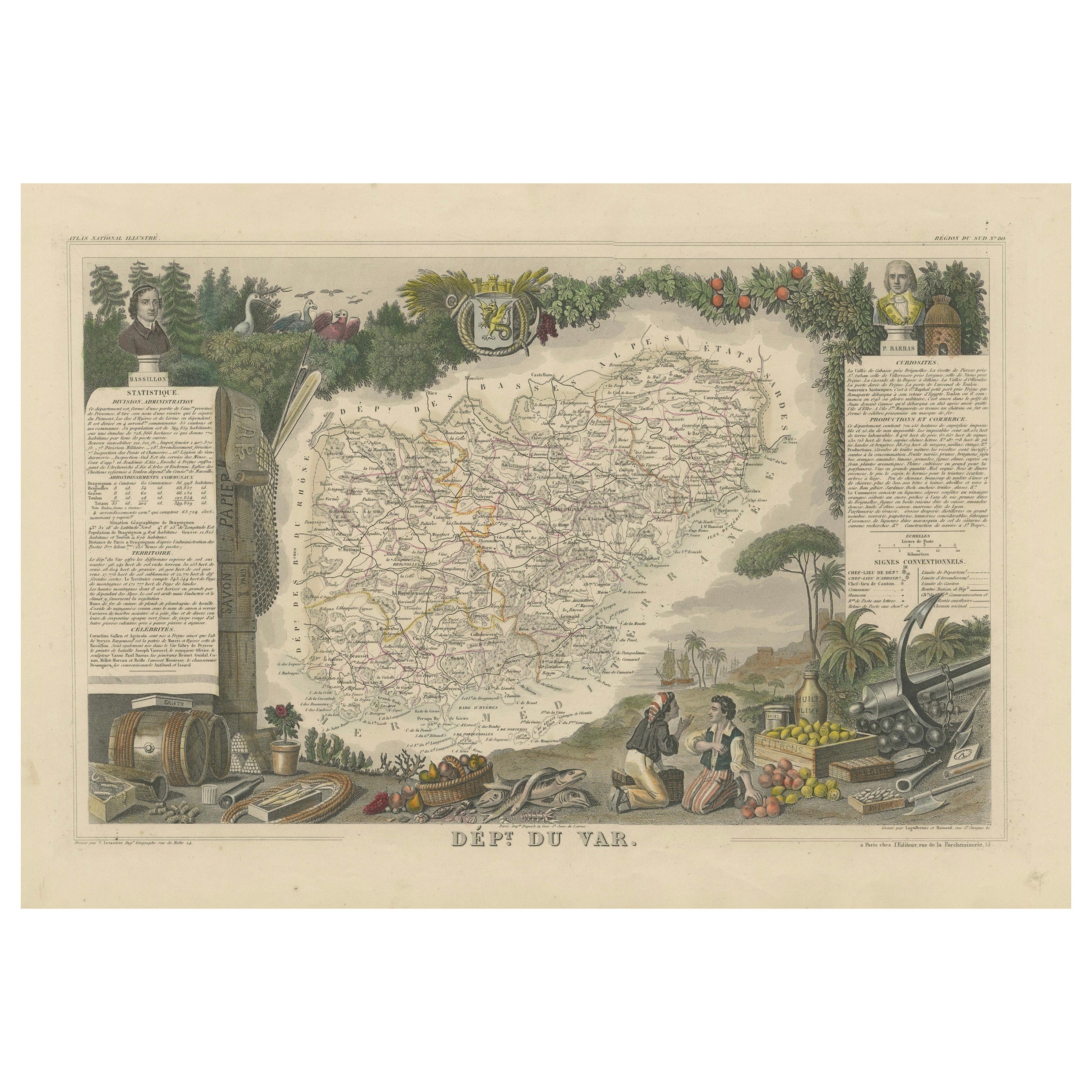
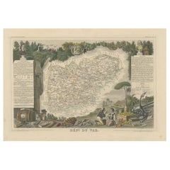
- The Illustrated Map of the Var Department from the Atlas National Illustré, 1856Located in Langweer, NLThis original hand-colored map is from the "Atlas National Illustré," a work by Victor Levasseur, a French geographer and cartographer known for his richly illustrated maps. The map...Category
Antique 1850s Maps
MaterialsPaper
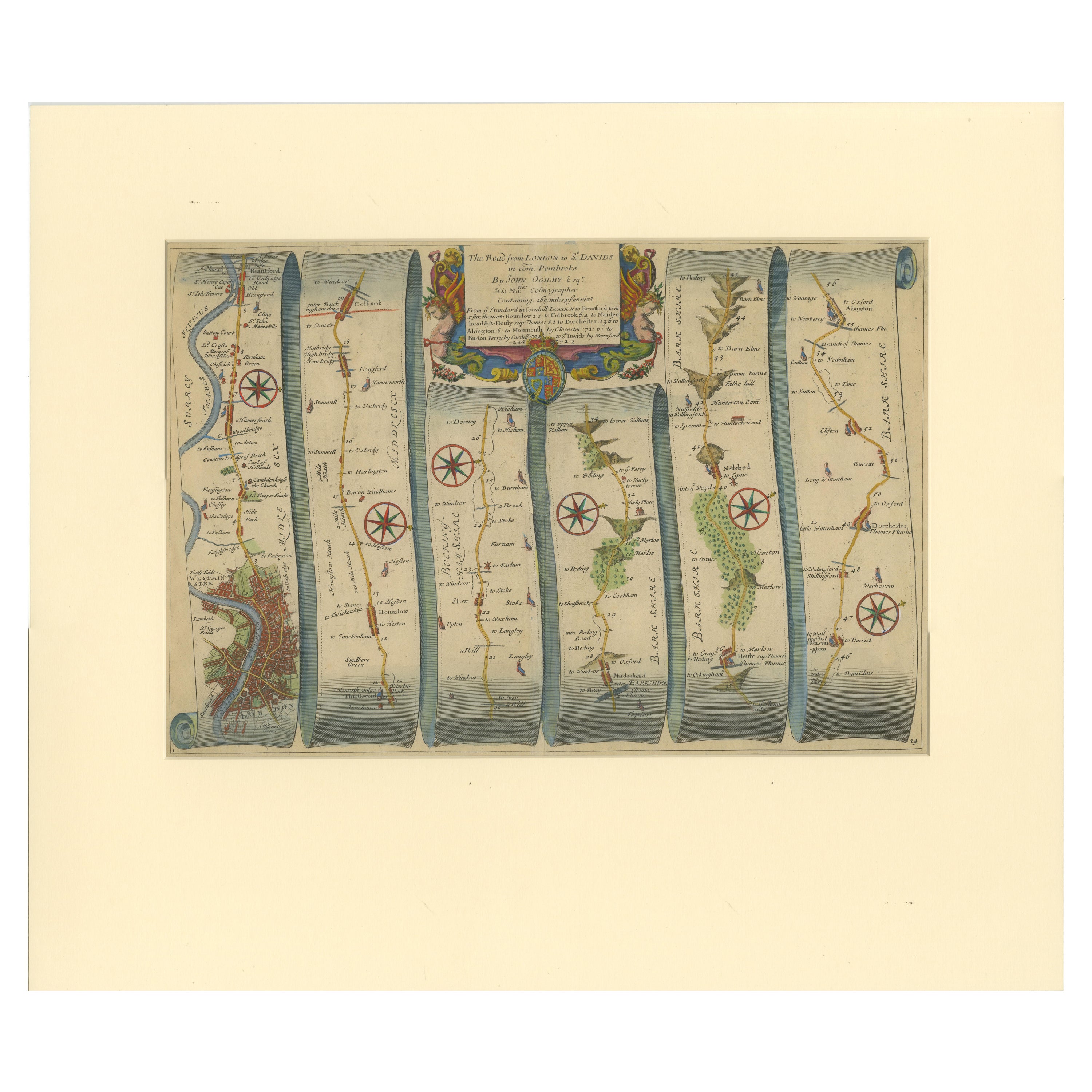
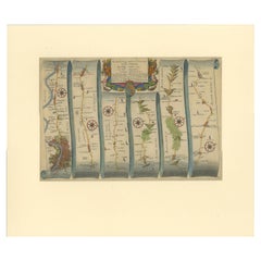
- Original Antique Map of the Road from London to BensingtonLocated in Langweer, NLAntique map titled 'The Road from London to St. Davids in com: Pembroke (..)'. A strip map of the road from London to Bensington. The map is ornamented with numerous compass roses, a...Category
Antique Late 17th Century Maps
MaterialsPaper
- Antique Map of London by Tirion '1754'Located in Langweer, NLAntique map titled 'Kaart van Londen enz. en van het naby gelegen land ruim een Uur gaans rondsom dezelve Stad; getrokken uit de groote gemeeten Kaart van Hr. John Rocque'. In the se...Category
Antique Mid-18th Century Maps
MaterialsPaper
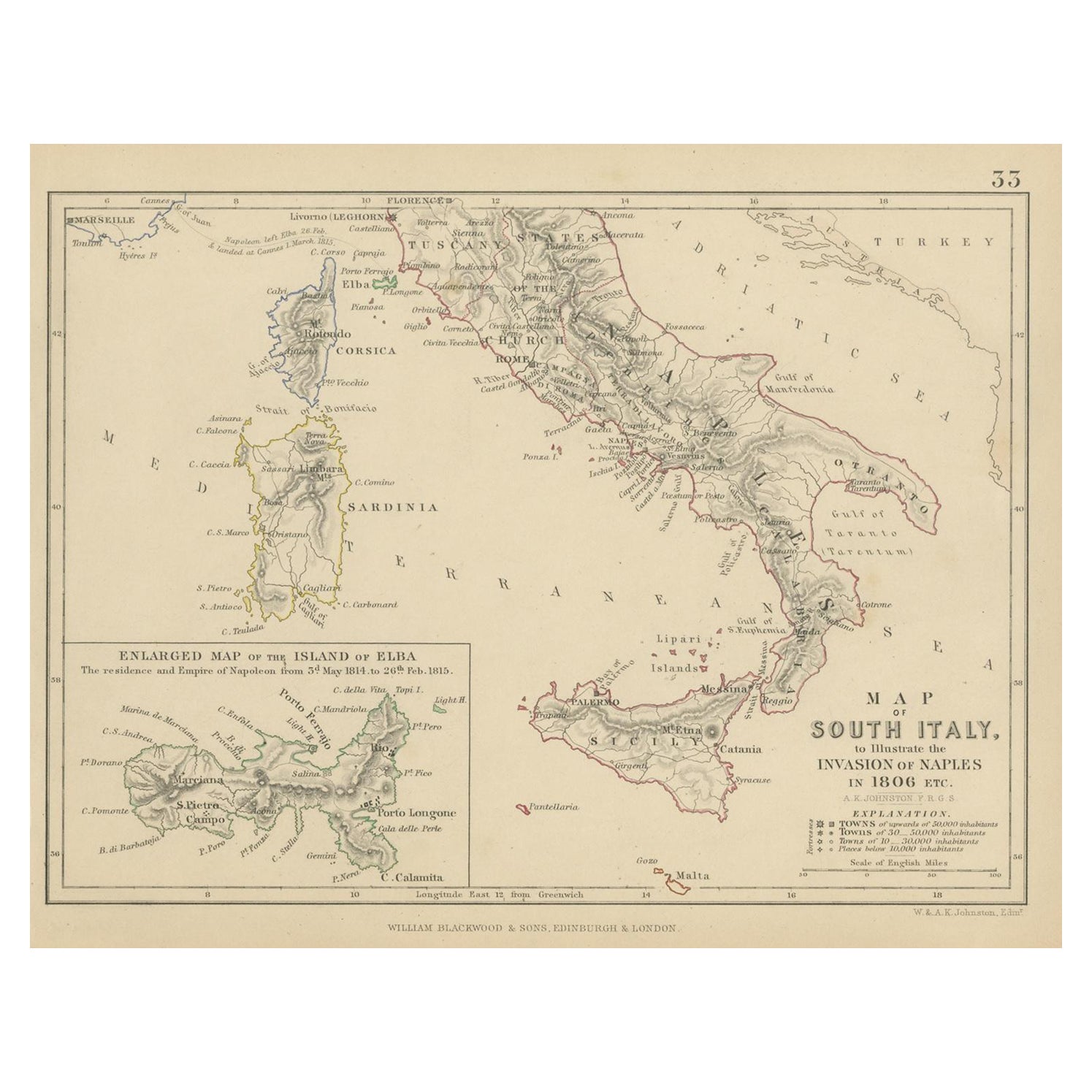
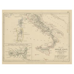
- Antique Map of South Italy, illustrating the Invasion of Naples in, 1806Located in Langweer, NLAntique battle map titled 'Map of South Italy, to illustrate the invasion of Naples in 1806 etc'. Map of South Italy illustrating the invasion of Naples. Wi...Category
Antique Mid-19th Century Maps
MaterialsPaper
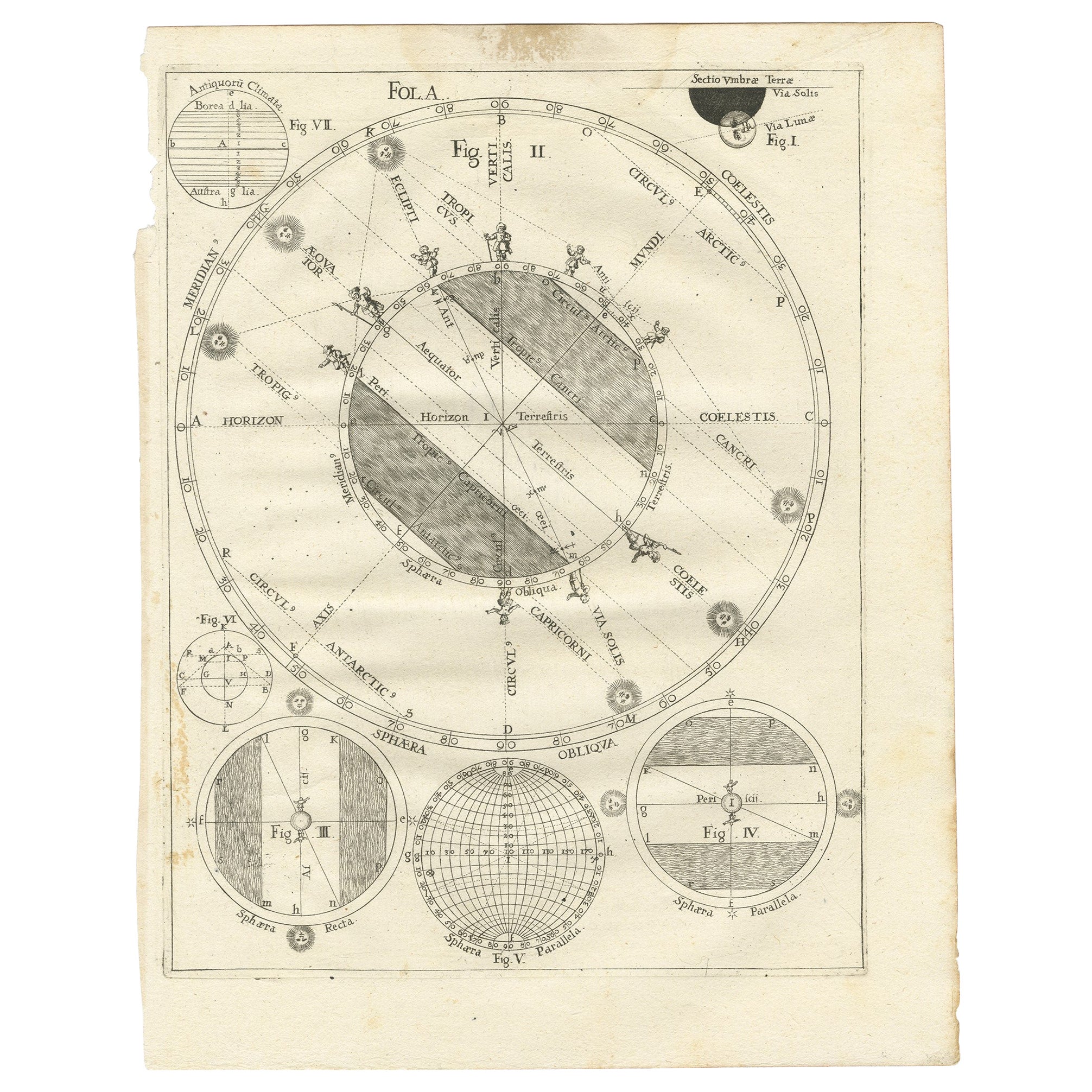
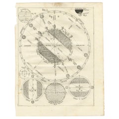
- Antique Map Illustrating Solar Eclipses by Scherer, C.1703Located in Langweer, NLAntique map of an hemisphere and several figures illustrating the position of the earth, moon and sun. Printed for Scherer's 'Atlas Novus' (1702-1710). Artists and Engravers: Heinrich Scherer (1628-1704) was a Professor of Hebrew, Mathematics and Ethics at the University of Dillingen until about 1680. Thereafter he obtained important positions as Official Tutor to the Royal Princes...Category
Antique 18th Century Maps
MaterialsPaper
- Antique Map of London Showing the Area from Essex to Surrey, England, 1741Located in Langweer, NLAntique map titled 'Regionis quae est circa Londinum specialis repraesentatio (..)' Very detailed map showing the area from Essex to Surrey and shows a lovely view of London with a high level of detail, stretching from Old London Bridge...Category
Antique 18th Century Maps
MaterialsPaper

Recently Viewed
View AllMore Ways To Browse
Antique Furniture London Furniture
Antique Furniture London
Antique Industry
Hand Painted Antique Map
Antique Furniture Depot
Antique Road Maps
Antique Road Map
17th Century Scottish
Antique Maps Of Mexico
Antique Style Atlas
Nautical Map
Nautical Maps
Antique Map Of Mexico
Pacific Map
Antique Ship Decor
Coastal Maps
Antique Maps Mexico
Antique Sea Charts