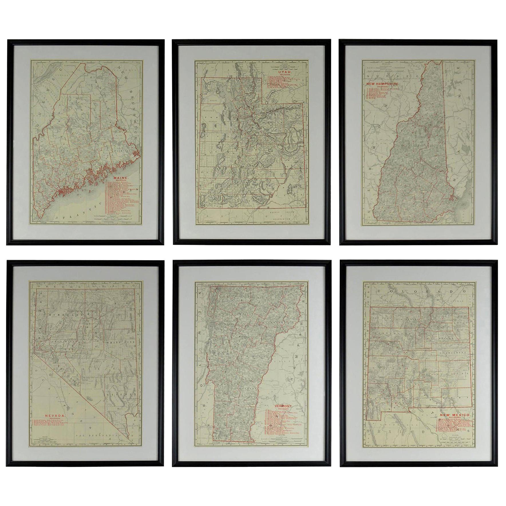
Eight Map Series of the History & Development of America
View Similar Items


1 of 10
Eight Map Series of the History & Development of America
About the Item
- Dimensions:Height: 54 in (137.16 cm)Width: 64 in (162.56 cm)Depth: 4.5 in (11.43 cm)
- Place of Origin:
- Period:
- Date of Manufacture:20th century
- Condition:Wear consistent with age and use.
- Seller Location:Madison, WI
- Reference Number:1stDibs: U120507923591
You May Also Like
- Original Antique Map of the American State of Pennsylvania, 1889Located in St Annes, LancashireGreat map of Pennsylvania Drawn and Engraved by W. & A.K. Johnston Published By A & C Black, Edinburgh. Original colour Unframed. Repair to a minor tear on bottom edge.Category
Antique 1880s Scottish Victorian Maps
MaterialsPaper
- Original Antique Map of the American State of Washington, 1889Located in St Annes, LancashireGreat map of Washington Drawn and Engraved by W. & A.K. Johnston Published By A & C Black, Edinburgh. Original colour Unframed.Category
Antique 1880s Scottish Victorian Maps
MaterialsPaper

- Original Antique Map of the American State of Nevada, 1889Located in St Annes, LancashireGreat map of Nevada Drawn and Engraved by W. & A.K. Johnston Published By A & C Black, Edinburgh. Original colour Unframed.Category
Antique 1880s Scottish Victorian Maps
MaterialsPaper
- Original Antique Map of the American State of Oregon, 1889Located in St Annes, LancashireGreat map of Oregon Drawn and Engraved by W. & A.K. Johnston Published By A & C Black, Edinburgh. Original colour Unframed.Category
Antique 1880s Scottish Victorian Maps
MaterialsPaper
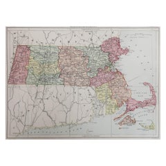
- Original Antique Map of the American State of Massachusetts, 1889Located in St Annes, LancashireGreat map of Massachusetts Drawn and Engraved by W. & A.K. Johnston Published By A & C Black, Edinburgh. Original colour Unframed.Category
Antique 1880s Scottish Victorian Maps
MaterialsPaper
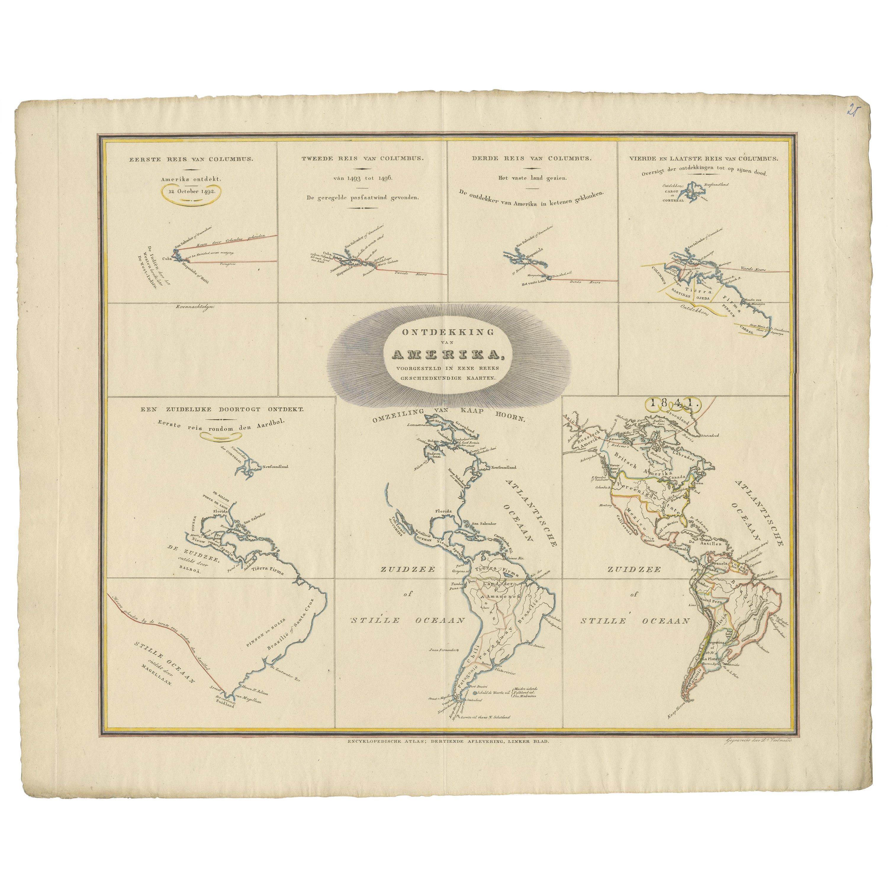
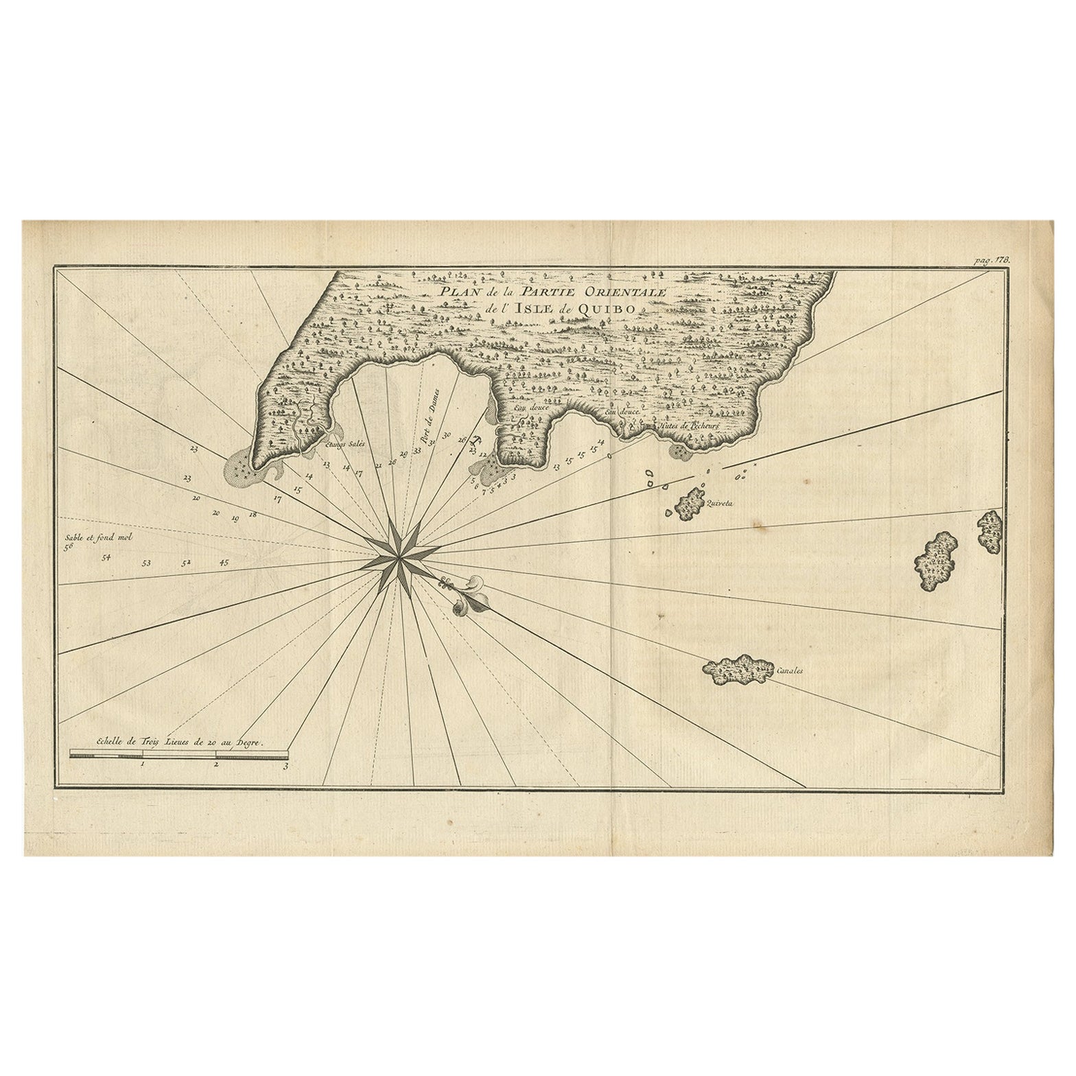
- Interesting Antique Map of the Development of the Mapping of the America's, 1841Located in Langweer, NLTitle: "De ontdekking van Amerika. Voorgesteld in eene reeks geschiedkundige kaarten". Collection of hand-colored engraved maps by D. VEELWAARD on 1 sheet, "Dertiende aflevering,...Category
Antique 1840s Maps
MaterialsPaper


Recently Viewed
View AllMore Ways To Browse
Map Of Barbados
Nantucket Chart
Nautical Martinique
Vintage Schoolroom
Antique Furniture Denver Co
Antique Maps Washington Dc
Daniel Bautista
Denoyer Geppert Anatomy
Map Cleveland
Map Montana
Montana Maps
Antique Chesapeake Bay Map
Antique Map Of Chesapeake Bay
J Thayer
Rand McNally & Co. On Sale
Bolivia Antique Map
Irish Canterbury Furniture
Irish Canterbury