Items Similar to Antique Puzzle of Colored Cardboard Depicting World Map, Europe and France

Want more images or videos?
Request additional images or videos from the seller
1 of 21
Antique Puzzle of Colored Cardboard Depicting World Map, Europe and France
About the Item
Educational puzzle of colored cardboard composed of three folders depicting world map, Europe and France. The world map in addition to the territorial map of the continents depicts the phases of the Moon and the motion of the planets. Published by Jullien publisher in Paris in the second half of the nineteenth century. Good condition, missing 4 cards on France. On the lid it is depicted a man who holds the world and depicts Europe, alongside the customs and traditions of Asia, Oceania, Africa and the Americas. Box 35.5 x 26.3 H 2.5 cm.
Shipping is insured by Lloyd's London; our gift box is free (look at the last picture).
- Creator:Jullien editeur (Maker)
- Dimensions:Height: 0.99 in (2.5 cm)Width: 13.98 in (35.5 cm)Depth: 10.36 in (26.3 cm)
- Materials and Techniques:
- Place of Origin:
- Period:
- Date of Manufacture:Mid-19th Century
- Condition:they miss four pieces in France folder.
- Seller Location:Milan, IT
- Reference Number:1stDibs: LU1020225351822
About the Seller
4.9
Vetted Seller
These experienced sellers undergo a comprehensive evaluation by our team of in-house experts.
Established in 1999
1stDibs seller since 2014
370 sales on 1stDibs
Typical response time: <1 hour
- ShippingRetrieving quote...Ships From: Milan, Italy
- Return PolicyA return for this item may be initiated within 3 days of delivery.
More From This SellerView All
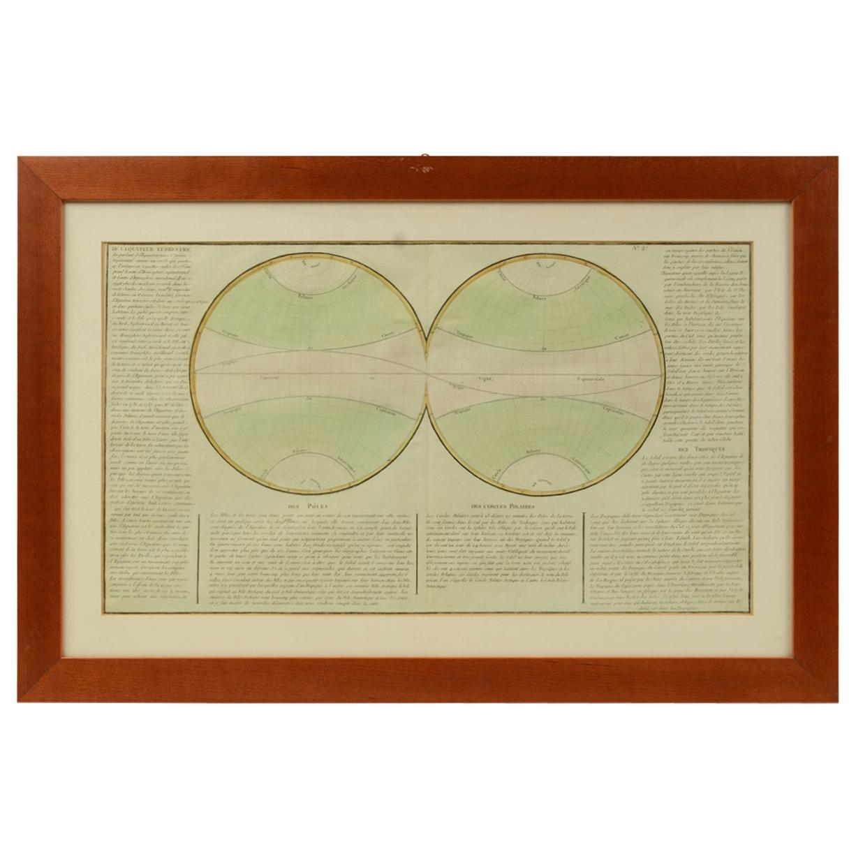
- Old Map Depicting the Entire Earth's Surface Divided into Six Parts France 1850Located in Milan, ITMap depicting the entire earth's surface divided into six parts which depicts the position of peoples on Earth based on the assumption that it is impossible for each people to have t...Category
Antique Mid-19th Century French Maps
MaterialsPaper, Glass, Wood
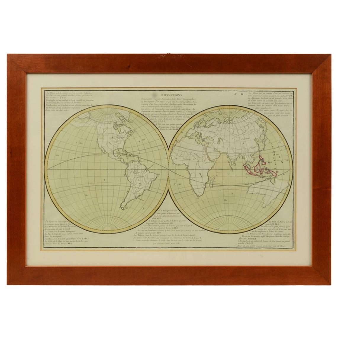
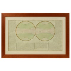
- 1850 Old French Map Depicting the Entire Earth's Surface Divided into Two PartsLocated in Milan, ITMap depicting the entire earth's surface divided into two parts corresponding to the two hemispheres and showing the Arctic to Antarctic polar circle, the tropics of Cancer and Capri...Category
Antique Mid-19th Century French Maps
MaterialsGlass, Wood, Paper
- 1850 Old French Map Depicting the Entire Earth's Surface Divided into Two PartsLocated in Milan, ITGeographical map depicting the entire earth's surface divided into two parts that correspond to the two hemispheres where the emerged lands are depicted which have been classified wi...Category
Antique Mid-19th Century French Maps
MaterialsGlass, Wood, Paper
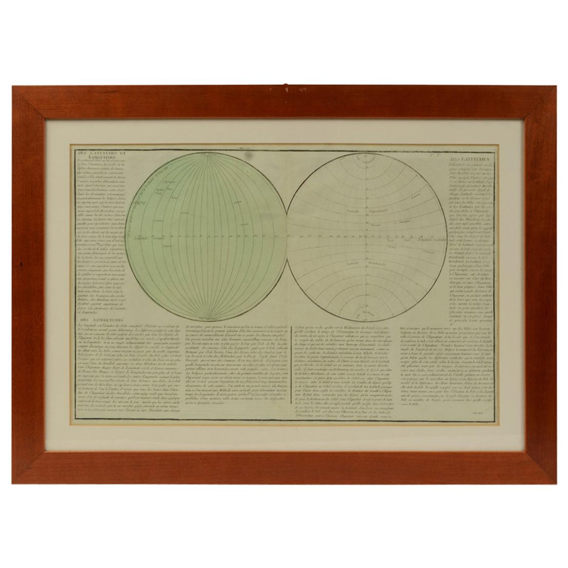
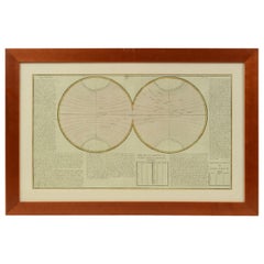
- 1850 Old French Map Depicting the Entire Earth's Surface Divided into Two PartsLocated in Milan, ITGeographical map depicting the entire earth’s surface divided into two parts that correspond to the two hemispheres or globes, the map deals with the latitudes and longitudes, the me...Category
Antique Mid-19th Century French Maps
MaterialsGlass, Wood, Paper
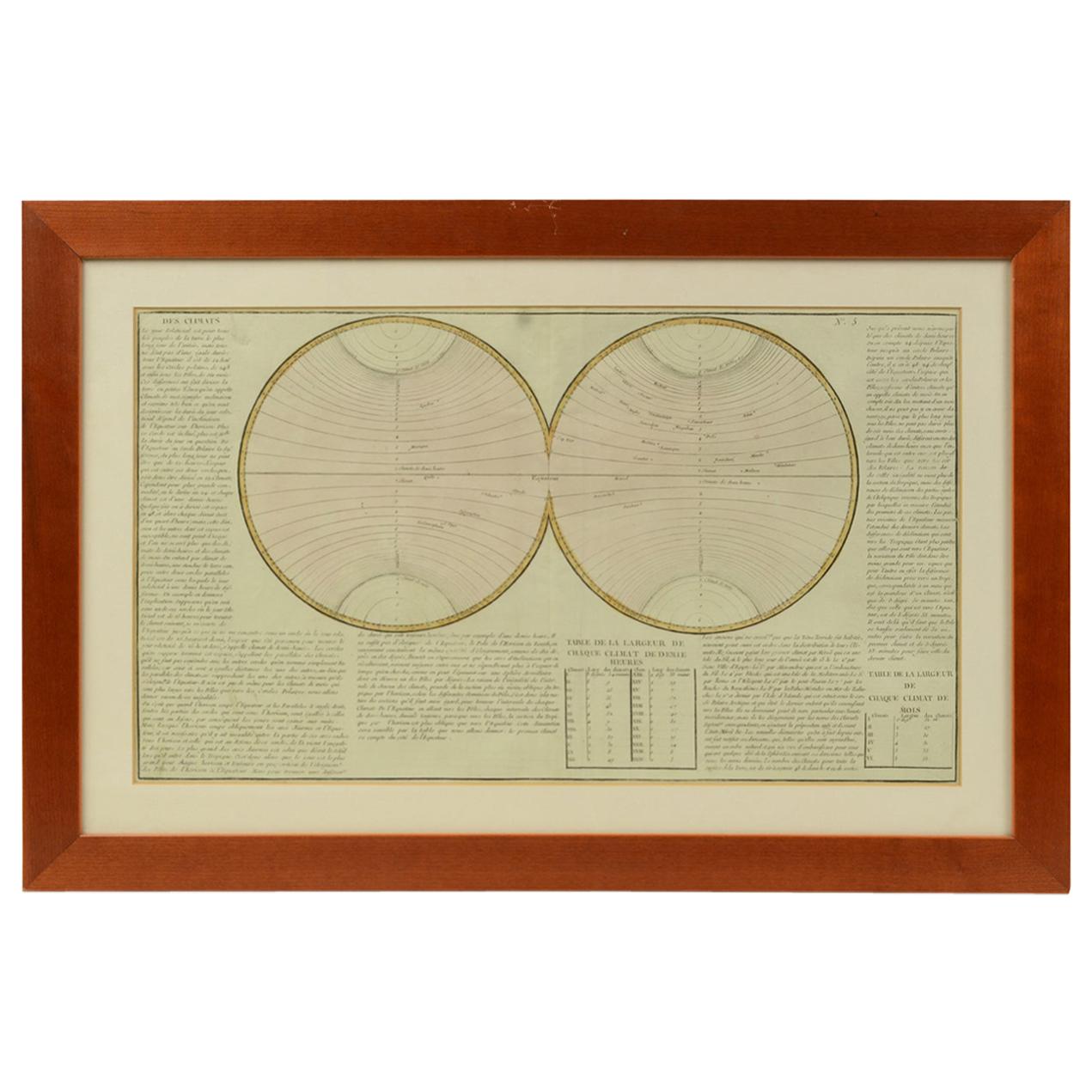
- 1850 Old French Map Depicting the Entire Earth's Surface Divided into Two PartsLocated in Milan, ITGeographical map depicting the entire earth's surface divided into two parts that correspond to the two hemispheres divided into small climatic zones that depict the climatic trend f...Category
Antique Mid-19th Century French Scientific Instruments
MaterialsGlass, Wood, Paper
- 1850 Old French Map Depicting the Entire Earth's Surface Divided into Two PartsLocated in Milan, ITGeographical map depicting the entire earth's surface divided into two parts that correspond to the two hemispheres or globes, the map deals with the earth in general. Detailed expla...Category
Antique Mid-19th Century French Maps
MaterialsGlass, Wood, Paper


You May Also Like
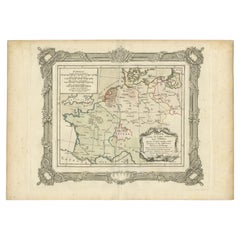
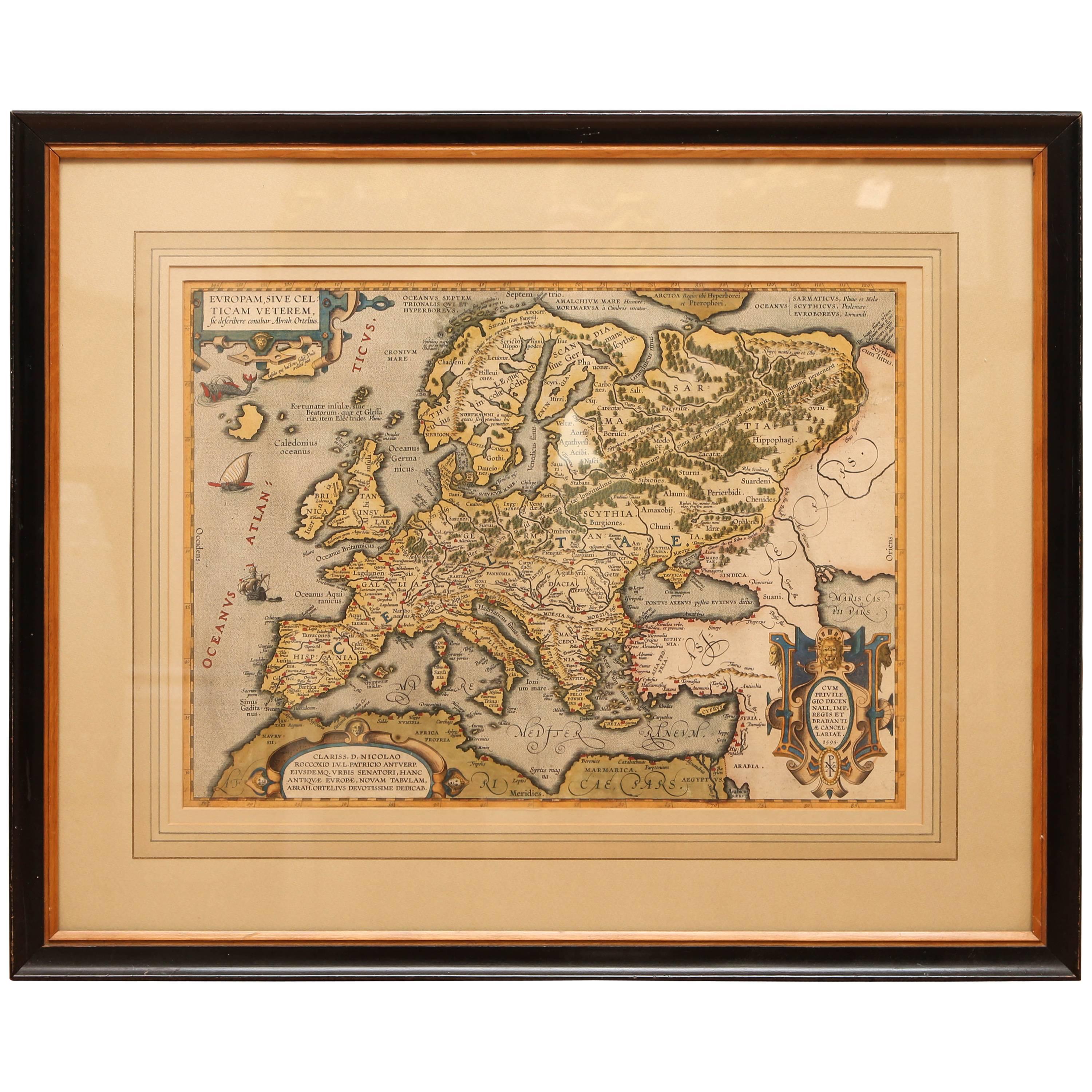
- Antique Hand Colored Framed Map of EuropeLocated in West Palm Beach, FLAntique reproduction copied from an edition dated 1595 by Ortelius.Category
Antique Late 19th Century Maps
- Colored wall map of the WORLDBy ChambonLocated in ZWIJNDRECHT, NL“Mappe Monde, contenant les Parties Connues du Globe Terrestre” CHAMBON, Gobert-Denis (France, 17.. - 1781) Paris, Longchamps et Janvier, 1754 Size H. 115 x W. 145 cm. Gobert-Denis Chambon made copper engraving after the work of Guillaume De L’Isle, published in 1754 by Jean Janvier and S.G. Longschamps. A huge wall map of the world in two hemispheres printed on two sheets, depicting the Eastern and Western hemispheres supported by two male figures, decorated at the bottom right and left with two celestial hemispheres (boreal and southern) and at the bottom in the middle with an armillary sphere, in addition. This map is most notable for its depiction of the Sea of Japan labeled "Mer de Corée" and of "Mer de L'Ouest" or Sea of the West - a great sea, easily the size of the Mediterranean, to flow from the then-known Strait of Juan de Fuca...Category
Antique Mid-18th Century French French Provincial Maps
MaterialsWood, Paper

- French Antique Map of France and Western Europe, 1765By G. A. Rizzi-zannoniLocated in Langweer, NLAntique map titled 'Carte de tous les Lieux, célébres dans l'Histoire (..)'. Beautiful old map of France and western Europe. This map originates from 'Atlas Historique de la France A...Category
Antique 18th Century Maps
MaterialsPaper
- 1847 “World at One View” Antique Hand-Colored Wall Map of the WorldLocated in Colorado Springs, COThis is a highly desirable hanging wall map of the "World at One View", published in 1847 by Ensign and Thayer, New York. This pictorial map was printed as a broadside and features...Category
Antique 19th Century American Maps
MaterialsPaper
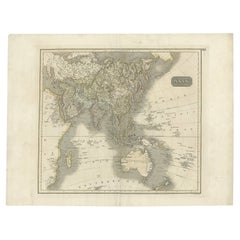
- Antique Map of Asia Depicting Asia and Australia, c.1814Located in Langweer, NLAntique map titled 'Asia'. This map depicts Asia and Australia. Engraved by J. and G. Menzies and issued for Thomson's 'New General Atlas'. Artists and Engravers: John Thomson (1...Category
Antique 19th Century Maps
MaterialsPaper
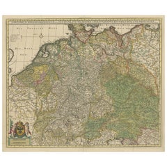
- Antique Map of Germany and Central EuropeLocated in Langweer, NLAntique map titled 'S. Imperium Romano-Germanicum oder Teutschland mit seinen angrantzenden Königreichen und Provincien'. Original antique map of Germany...Category
Antique Late 17th Century Maps
MaterialsPaper