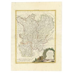
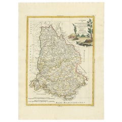
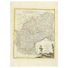
Antique Map of the Region of Beaujolais, Saône-et-Loire and Bourgogne by Zatta
View Similar Items

Want more images or videos?
Request additional images or videos from the seller
1 of 5
Antique Map of the Region of Beaujolais, Saône-et-Loire and Bourgogne by Zatta
About the Item
- Dimensions:Height: 20.48 in (52 cm)Width: 15.16 in (38.5 cm)Depth: 0 in (0.01 mm)
- Materials and Techniques:
- Period:
- Date of Manufacture:1779
- Condition:Condition: Very good, general age-related toning. Original/contemporary hand coloring. Please study image carefully.
- Seller Location:Langweer, NL
- Reference Number:Seller: BG-12057-31stDibs: LU3054327871472
About the Seller
5.0
Platinum Seller
These expertly vetted sellers are 1stDibs' most experienced sellers and are rated highest by our customers.
Established in 2009
1stDibs seller since 2017
1,967 sales on 1stDibs
More From This SellerView All
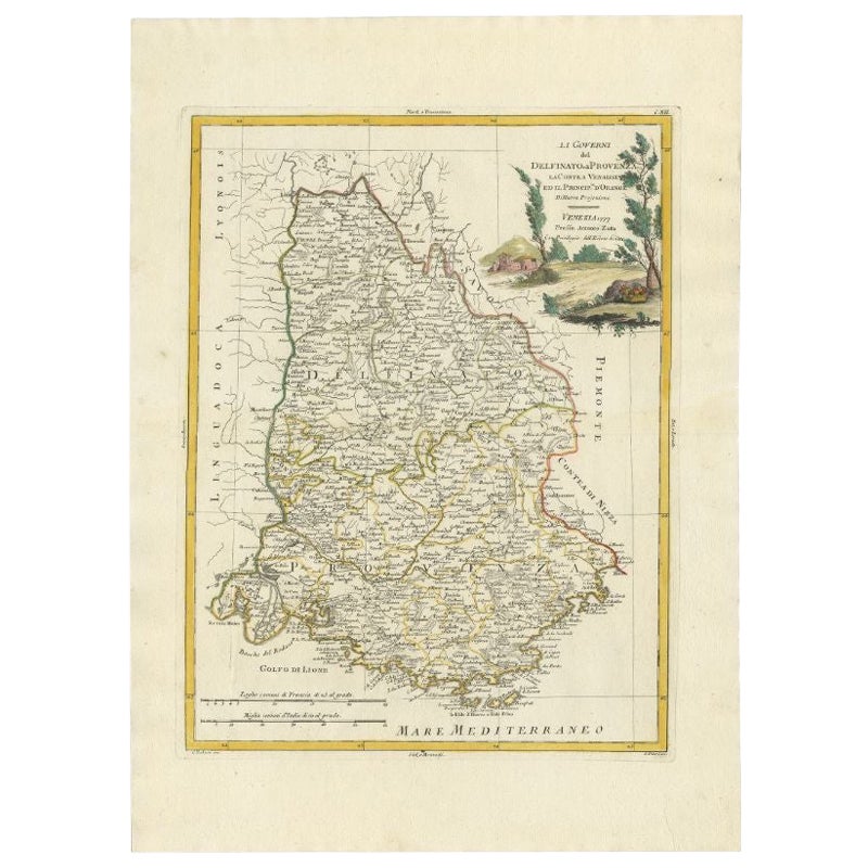
- Antique Map of the Region of Dauphiné by Zatta, 1779Located in Langweer, NLAntique map titled 'Li Governi del Delfinato e di Provenza la Contea Venaissin ed il Princie d'Orange'. Old map of France showing the province of Dauphiné. This map originates from '...Category
Antique 18th Century Maps
MaterialsPaper
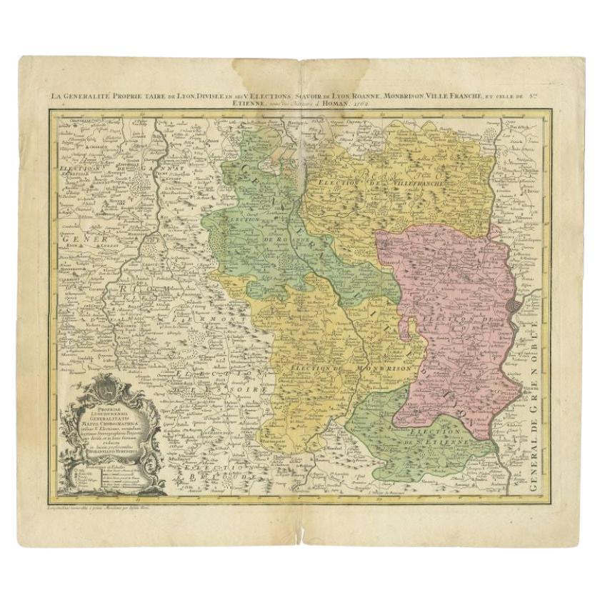
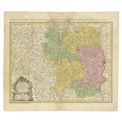
- Antique Map of the Beaujolais Region by Homann Heirs, 1762Located in Langweer, NLAntique map titled 'La Generalite Proprie Taire De Lyon (..) - Propriae Lugudunensis Generalitatis (..)'. Detailed regional map of the Beaujolais region including the cities of Lyon,...Category
Antique 18th Century Maps
MaterialsPaper
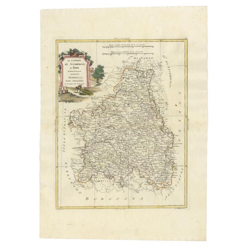
- Antique Map of the Region of Brie and Champagne by Zatta, 1779Located in Langweer, NLAntique map titled 'Li Governi di Sciampagna e Brie'. Old map of France showing the provinces of Brie and Champagne. This map originates from 'Atlante Novissimo, illustrato ed accres...Category
Antique 18th Century Maps
MaterialsPaper
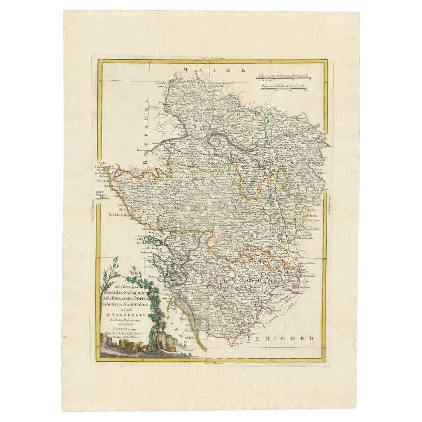
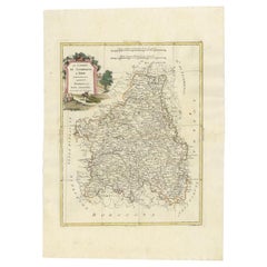
- Antique Map of the Region of Poitou and Saintonge by Zatta (1779)Located in Langweer, NLAntique map titled 'Li Governi d'Angio del Saumurois, della Touraine et Poitou d'Aunis et Saintonge'. Old map of France showing the provinces of Poitou and Saintonge with their adjac...Category
Antique 18th Century Maps
MaterialsPaper
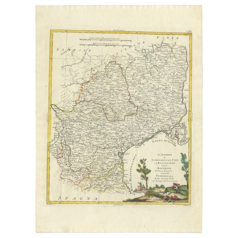
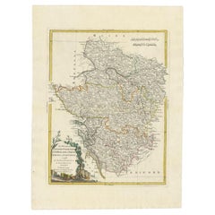
- Antique Map of the Region of Languedoc, Foix, Roussillon and Rouergue by ZattaBy Antonio ZattaLocated in Langweer, NLAntique map titled 'Li Governi di Linguadoca, di Foix e di Rossiglione con il Rouergue'. Old map of France showing the regions of Languedoc, Foix, Roussillon and Rouergue. This map o...Category
Antique 18th Century Maps
MaterialsPaper
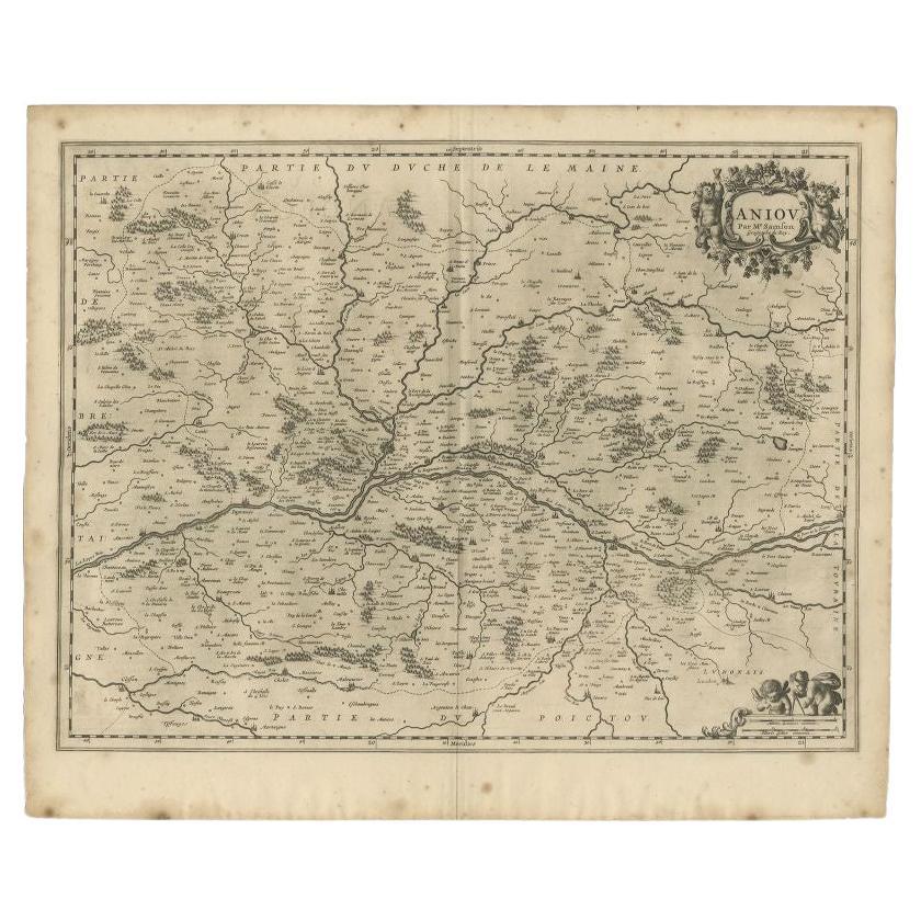
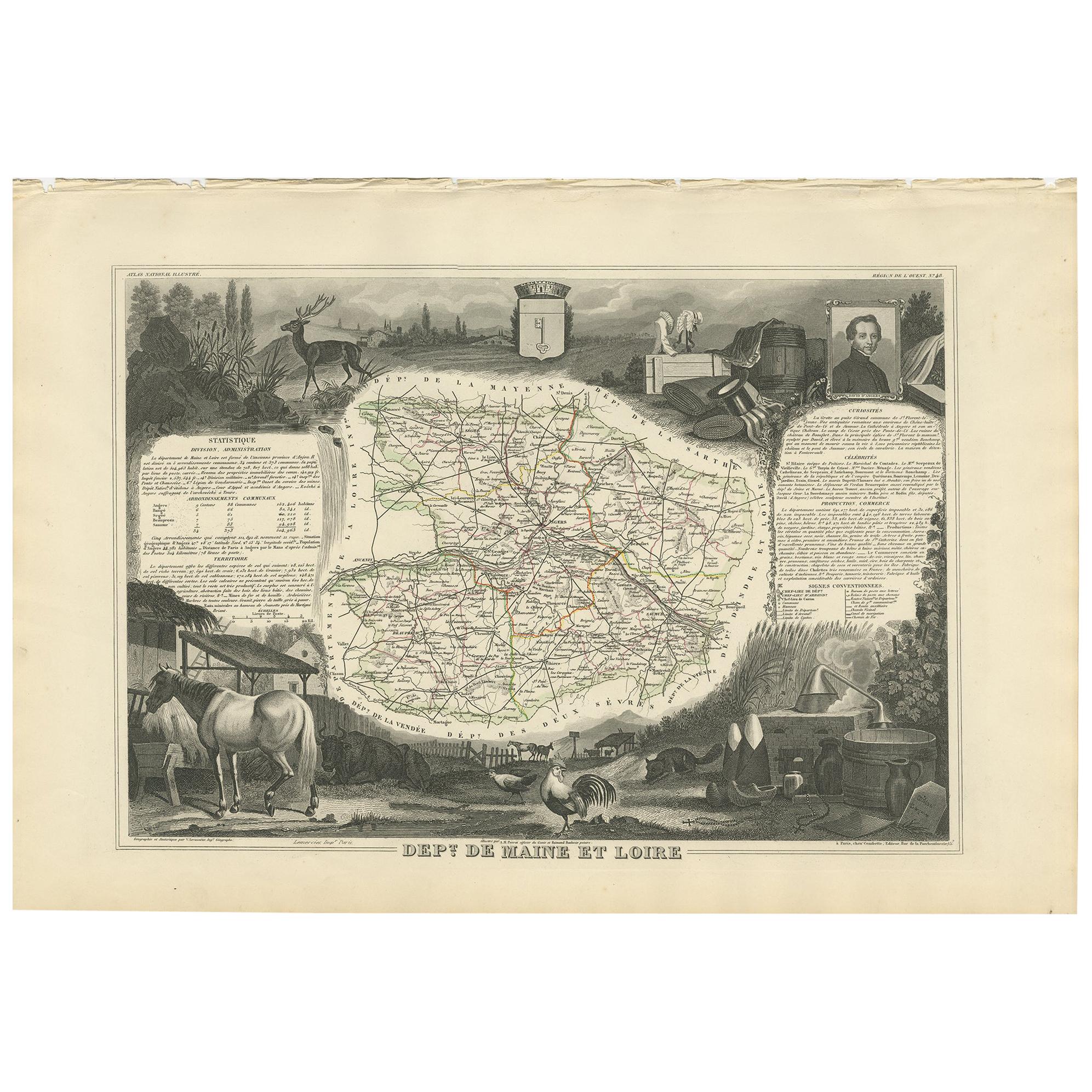
- Antique Map of the Region of the Loire Valley by Janssonius, 1657By Johannes JanssoniusLocated in Langweer, NLAntique map of France titled 'Aniou'. Decorative map centered on the Loire valley, France. This map originates from 'Atlas Novus, Sive Theatrum Orbis Orbis Terrarum: In quo Galliae, ...Category
Antique 17th Century Maps
MaterialsPaper
You May Also LikeView All
- The Normandy Region of France: A 17th C. Hand-colored Map by Sanson and JaillotBy Nicolas SansonLocated in Alamo, CAThis large hand-colored map entitled "Le Duché et Gouvernement de Normandie divisée en Haute et Basse Normandie en divers Pays; et par evêchez, avec le Gouvernement General du Havre ...Category
Antique 1690s French Maps
MaterialsPaper
- 1861 Topographical Map of the District of Columbia, by Boschke, Antique MapLocated in Colorado Springs, COPresented is an original map of Albert Boschke's extremely sought-after "Topographical Map of the District of Columbia Surveyed in the Years 1856 ...Category
Antique 1860s American Historical Memorabilia
MaterialsPaper
- 1594 Maurice Bouguereau Map of the Region Limoges, France, Ric0015Located in Norton, MA1594 Maurice Bouguereau map of the region Limoges, France, entitled "Totivs Lemovici et Confinium Pro Uinciarum Quantum ad Dioecefin Lemo Uicenfen Fpectant," Hand Colored Ric0015 Jean IV Le Clerc...Category
Antique 16th Century Dutch Maps
MaterialsPaper
- 17th Century Hand Colored Map of the Liege Region in Belgium by VisscherBy Nicolaes Visscher IILocated in Alamo, CAAn original 17th century map entitled "Leodiensis Episcopatus in omnes Subjacentes Provincias distincté divisusVisscher, Leodiensis Episcopatus" by Nicolaes Visscher II, published in Amsterdam in 1688. The map is centered on Liege, Belgium, includes the area between Antwerp, Turnhout, Roermond, Cologne, Trier and Dinant. This attractive map is presented in a cream-colored mat measuring 30" wide x 27.5" high. There is a central fold, as issued. There is minimal spotting in the upper margin and a tiny spot in the right lower margin, which are under the mat. The map is otherwise in excellent condition. The Visscher family were one of the great cartographic families of the 17th century. Begun by Claes Jansz Visscher...Category
Antique Late 17th Century Dutch Maps
MaterialsPaper
- Original Antique Map of The World by Thomas Clerk, 1817Located in St Annes, LancashireGreat map of The Eastern and Western Hemispheres On 2 sheets Copper-plate engraving Drawn and engraved by Thomas Clerk, Edinburgh. Published by Mackenzie And Dent, 1817 ...Category
Antique 1810s English Maps
MaterialsPaper
- 17th Century Hand-Colored Map of a Region in West Germany by JanssoniusBy Johannes JanssoniusLocated in Alamo, CAThis attractive highly detailed 17th century original hand-colored map is entitled "Archiepiscopatus Maghdeburgensis et Anhaltinus Ducatus cum terris adjacentibus". It was published ...Category
Antique Mid-17th Century Dutch Maps
MaterialsPaper


Recently Viewed
View AllMore Ways To Browse
Antique Maps Of Venice Italy
Antique Railroad Maps
Antique Florida Collectibles
Relief Map
West Coat Of Arms
Antique Map New York City
Antique Maps Of New York City
Antique New York City Maps
Map Of Massachusetts
Antique Tasmania
Antique Furniture Missouri
Maritime Chart
Southeast Asia Map
Biblical Maps
Church Yard
Migeon And Migeon
Migeon Migeon
1785 Maps