Items Similar to Antique Map of Sweden and Norway by H. Moll, circa 1715


Want more images or videos?
Request additional images or videos from the seller
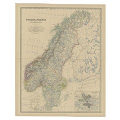
1 of 5
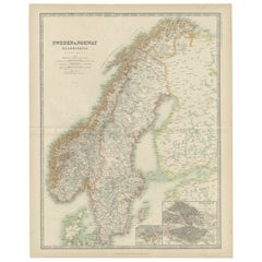
Antique Map of Sweden and Norway by H. Moll, circa 1715
About the Item
Beautiful and rare map of Sweden and Norway including English text. This map most likely originates from 'The Compleat geographer, or, The chorography and topography of all the known parts of the earth to which is premis'd an introduction to geography, and a natural history of the earth and the elements ... to which are added maps of every country, fairly engraven on copper, according to the latest surveys, and newest discoveries, most engrav'd by Herman Moll'.
Text on verso.
- Dimensions:Height: 12.52 in (31.8 cm)Width: 8.08 in (20.5 cm)Depth: 0.02 in (0.5 mm)
- Materials and Techniques:
- Period:
- Date of Manufacture:circa 1715
- Condition:Some small marginal tears. Please study image carefully.
- Seller Location:Langweer, NL
- Reference Number:
About the Seller
5.0
Platinum Seller
These expertly vetted sellers are 1stDibs' most experienced sellers and are rated highest by our customers.
Established in 2009
1stDibs seller since 2017
1,959 sales on 1stDibs
Typical response time: <1 hour
- ShippingRetrieving quote...Ships From: Langweer, Netherlands
- Return PolicyA return for this item may be initiated within 14 days of delivery.
More From This SellerView All
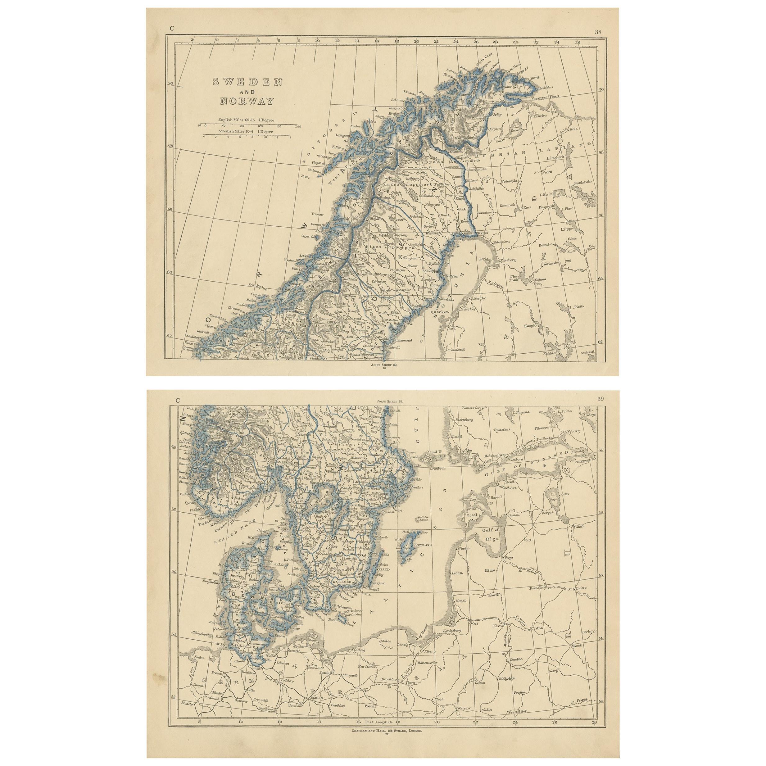
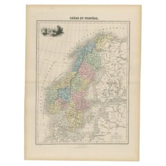
- Antique Map of Sweden and Norway by Lowry, '1852'Located in Langweer, NLAntique map titled 'Sweden and Norway'. Two individual sheets of Sweden and Norway. This map originates from 'Lowry's Table Atlas constructed and engraved from the most recent Author...Category
Antique Mid-19th Century Maps
MaterialsPaper
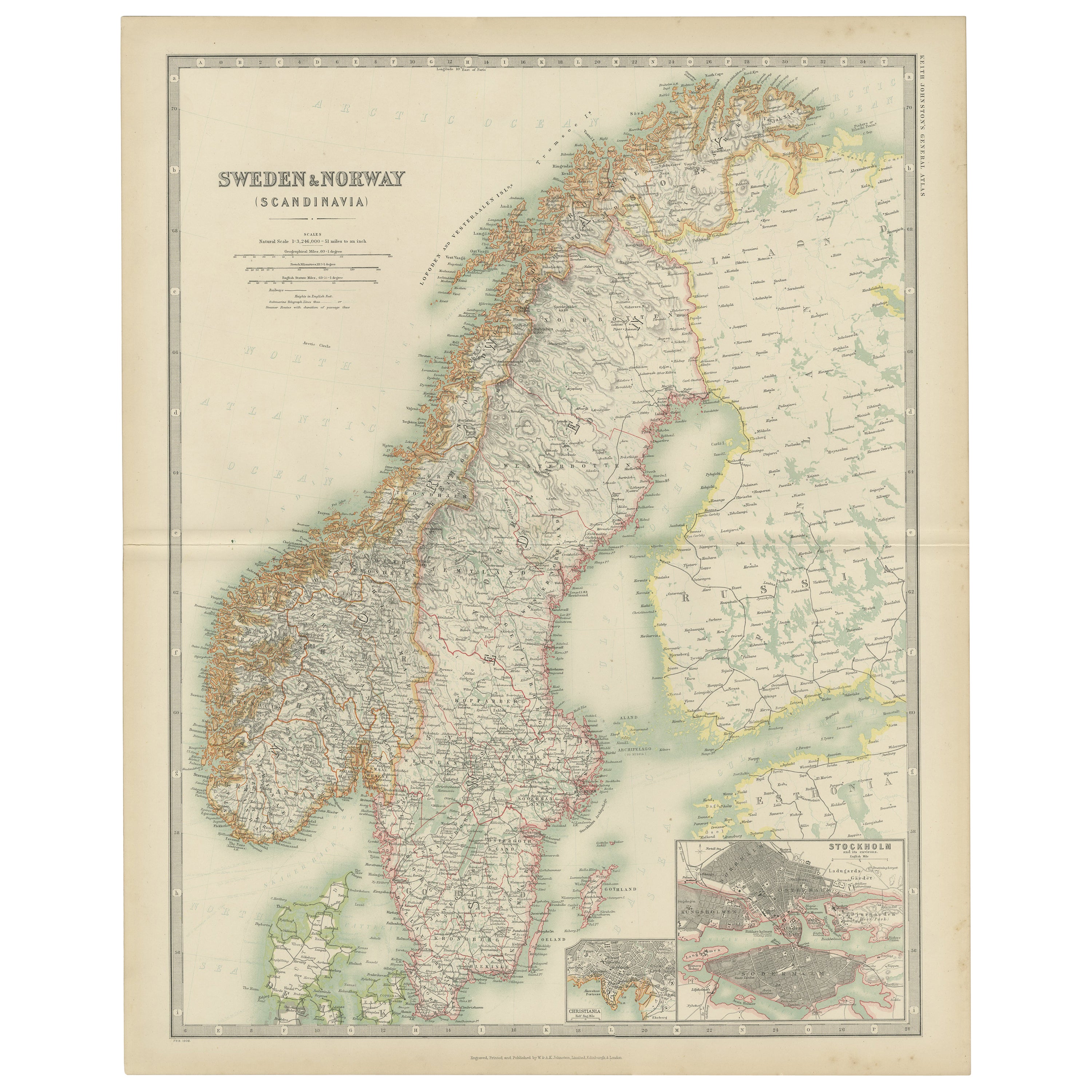
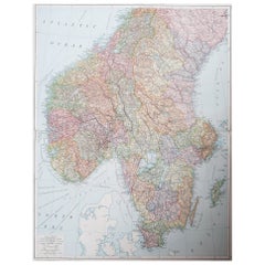
- Antique Map of Sweden and Norway by Johnston (1909)Located in Langweer, NLAntique map titled 'Sweden and Norway'. Original antique map of Sweden and Norway. With inset maps of Christiania and Stockholm. This map originates from...Category
Early 20th Century Maps
MaterialsPaper
- Antique Map of Sweden and Norway by W. G. Blackie, 1859Located in Langweer, NLAntique map titled 'Sweden and Norway'. Original antique map of Sweden and Norway. This map originates from ‘The Imperial Atlas of Modern Geography’. Published by W. G. Blackie, 1859.Category
Antique Mid-19th Century Maps
MaterialsPaper
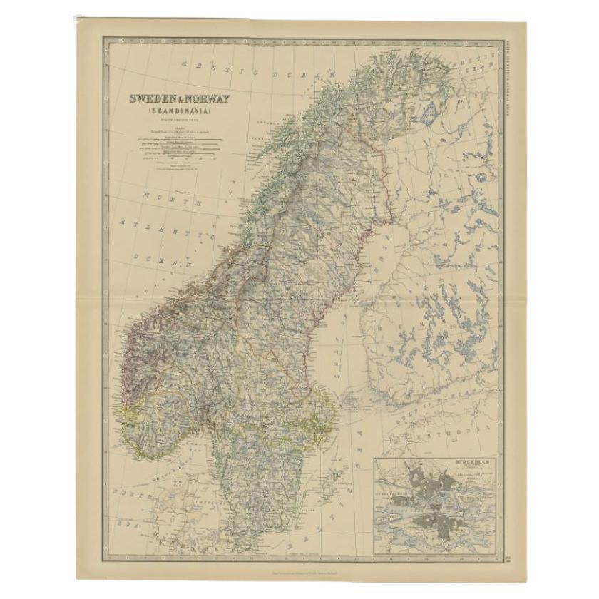
- Antique Map of Sweden and Norway by Johnston, 1882Located in Langweer, NLAntique map titled 'Sweden & Norway (Scandinavia)'. Old map of Sweden and Norway, with inset map of Stockholm. This map originates from 'The Royal Atlas ...Category
Antique 19th Century Maps
MaterialsPaper
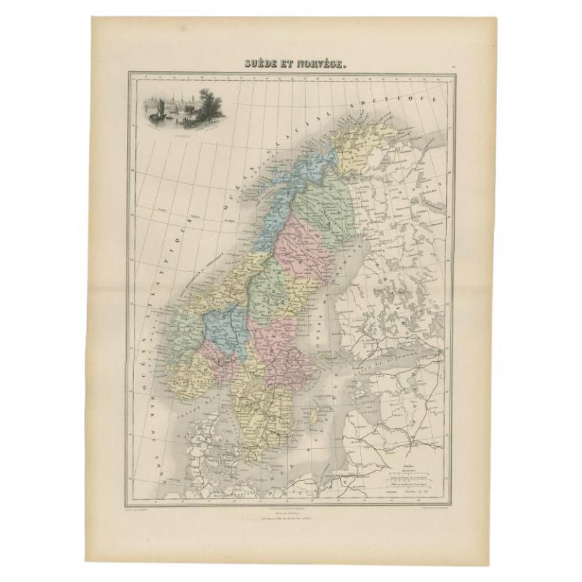
- Antique Map of Sweden and Norway by Migeon, 1880Located in Langweer, NLAntique map titled 'Suède et Norvége'. Old map of Sweden and Norway. With decorative vignette of Stockholm. This map originates from 'Géographie Universe...Category
Antique 19th Century Maps
MaterialsPaper
- Antique Map of Sweden and Norway by Petri, 1852Located in Langweer, NLAntique map titled 'Zweden en Noorwegen'. Map of Sweden and Norway. This map originates from 'School-Atlas van alle deelen der Aarde' by Otto Petri. Artists...Category
Antique 19th Century Maps
MaterialsPaper


You May Also Like
- Large Original Vintage Map of Sweden and Norway circa 1920Located in St Annes, LancashireGreat map of Sweden and Norway Original color. Good condition Published by Alexander Gross Unframed.Category
Vintage 1920s English Victorian Maps
MaterialsPaper
- Original Antique Map of Sweden and Norway, Grattan and Gilbert, 1843Located in St Annes, LancashireGreat map of Sweden and Norway Drawn and engraved by Archer Published by Grattan and Gilbert Original color Unframed.Category
Antique 1840s English Other Maps
MaterialsPaper
- Original Antique Map of Sweden, Engraved by Barlow, 1806Located in St Annes, LancashireGreat map of Sweden Copper-plate engraving by Barlow Published by Brightly & Kinnersly, Bungay, Suffolk. 1806 Unframed.Category
Antique Early 1800s English Maps
MaterialsPaper
- Original Antique Map of Spain and Portugal, circa 1790Located in St Annes, LancashireSuper map of Spain and Portugal Copper plate engraving by A. Bell Published, circa 1790. Unframed.Category
Antique 1790s English Other Maps
MaterialsPaper
- Original Antique Map of Belgium by Tallis, Circa 1850Located in St Annes, LancashireGreat map of Belgium Steel engraving Many lovely vignettes Published by London Printing & Publishing Co. ( Formerly Tallis ), C.1850 Origin...Category
Antique 1850s English Maps
MaterialsPaper
- Original Antique Map of Cyprus. Circa 1880Located in St Annes, LancashireGreat map of Cyprus Drawn and Engraved by R.Walker Published W.Mackenzie, London Original colour Unframed.Category
Antique 1880s English Maps
MaterialsPaper


Recently Viewed
View AllMore Ways To Browse
Rare Maps
Antique Rare Maps
Rare Antique Maps
Country Swedish Antiques
English And Swedish
English And Swedish Furniture
Antique Norwegian
Norwegian Antique
Antique Norwegian Furniture
Norwegian Antique Furniture
Copper Map
Antique Surveying
Antique Norway
Survey Map
Antique Swedish Copper
Norwegian Antiques
Norway Map
Map Of Sweden