Items Similar to Detailed Antique Map of Portugal, Published for the 'Gentleman's Magazine', 1758
Want more images or videos?
Request additional images or videos from the seller
1 of 5
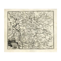
Detailed Antique Map of Portugal, Published for the 'Gentleman's Magazine', 1758
About the Item
Antique map Portugal titled 'A Map of the Kingdom of Portugal'.
Detailed map of Portugal, published for the 'Gentleman's Magazine'.
Artists and Engravers: Engraved by J. Gibson.
Condition: Very good, beautiful coloring. Please study image carefully.
- Dimensions:Height: 14.57 in (37 cm)Width: 7.88 in (20 cm)Depth: 0 in (0.02 mm)
- Materials and Techniques:
- Period:1750-1759
- Date of Manufacture:1758
- Condition:Wear consistent with age and use. Condition: Very good, beautiful coloring. Please study image carefully.
- Seller Location:Langweer, NL
- Reference Number:
About the Seller
5.0
Platinum Seller
These expertly vetted sellers are 1stDibs' most experienced sellers and are rated highest by our customers.
Established in 2009
1stDibs seller since 2017
1,916 sales on 1stDibs
Typical response time: <1 hour
- ShippingRetrieving quote...Ships From: Langweer, Netherlands
- Return PolicyA return for this item may be initiated within 14 days of delivery.
More From This SellerView All
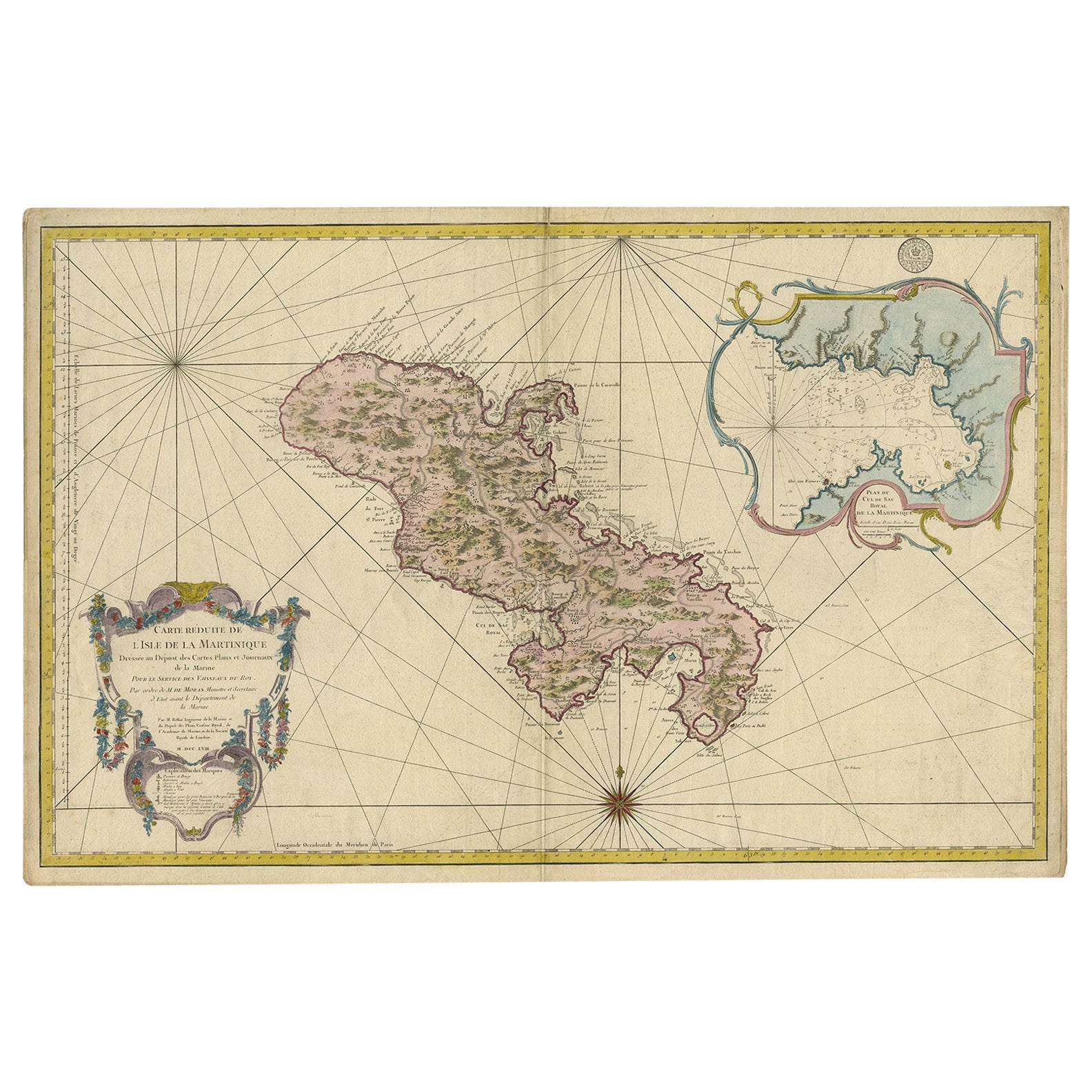
- Stunning Large Scale Antique Map of Martinique, Rare, Published 1758Located in Langweer, NLAntique map titled 'Carte Reduite de l'Isle de la Martinique Dressee au Depost des Cartes Plans et Journaux de la Marine.' Superb, large scale chart of ...Category
Antique 18th Century Maps
MaterialsPaper
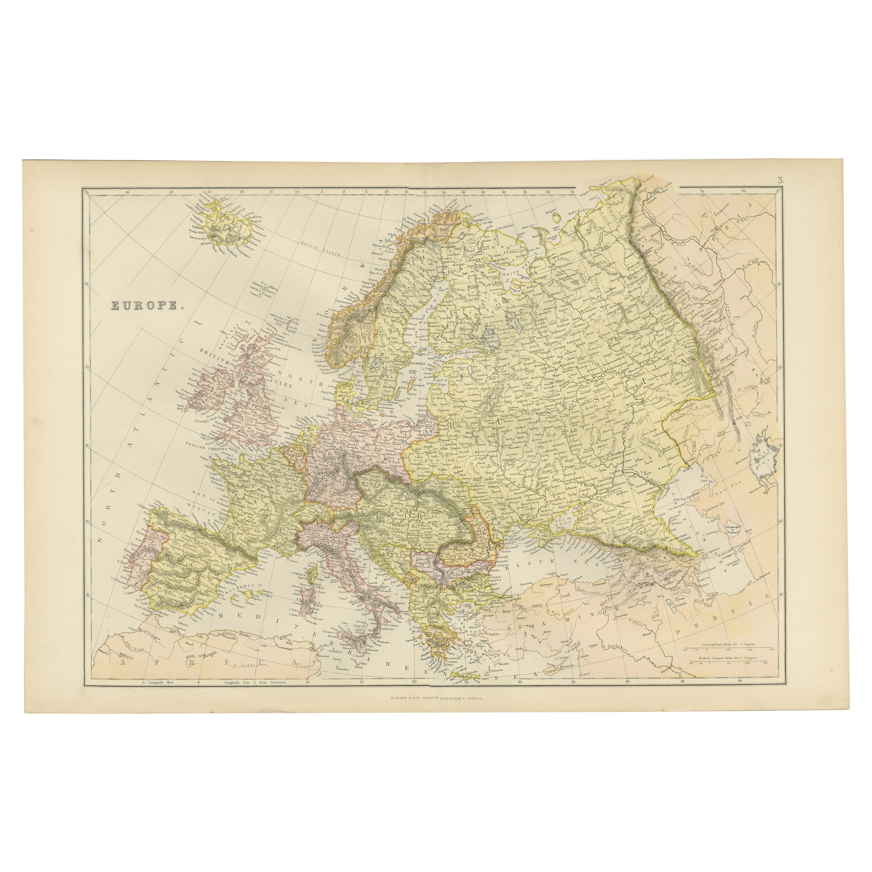
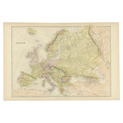
- Colorful Detailed Antique Map of Europe, Published in 1882Located in Langweer, NL"The Antique Map of Europe from 'The Comprehensive Atlas and Geography of the World,' published in 1882 by Blackie & Son, is a testament to meticulous cartography and scholarly preci...Category
Antique 1880s Maps
MaterialsPaper
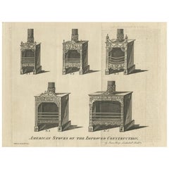
- Antique Print of American Stoves Published in the Gentleman's Magazine, 1781Located in Langweer, NLThis print originates from: 'The Gentleman's Magazine and Historical Chronicle 1781. Volume LI. For the Year MDCCLXXXI'.Category
Antique Late 18th Century Prints
MaterialsPaper
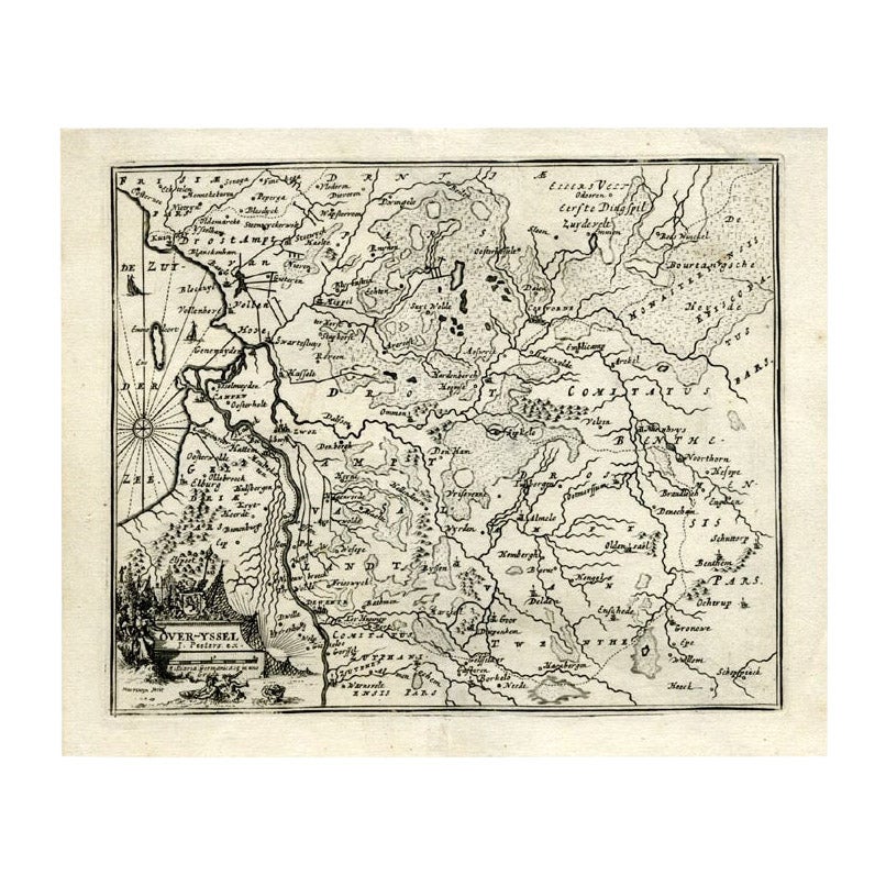
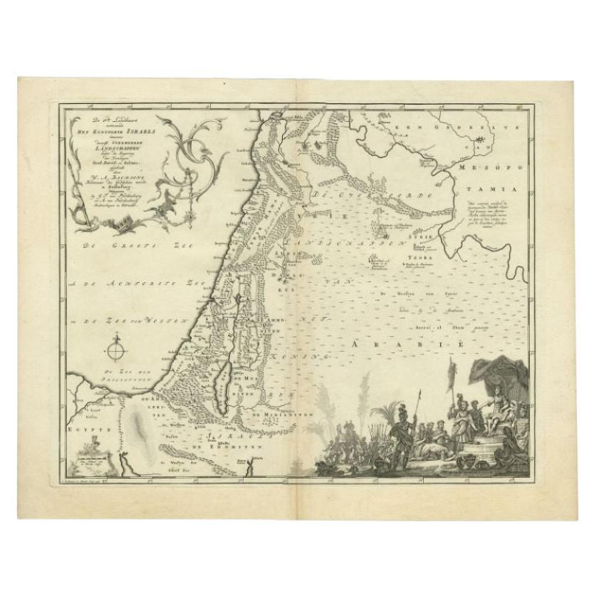
- Antique Map of Overijssel by Bachiene, 1758Located in Langweer, NLAntique map titled 'Over-Yssel'. Map of the Overijssel, the Netherlands. This map originates from 'Kort begrip der Oude en Nieuwe Staatkundige Geographie', by W.A. Bachiene, publishe...Category
Antique 18th Century Maps
MaterialsPaper
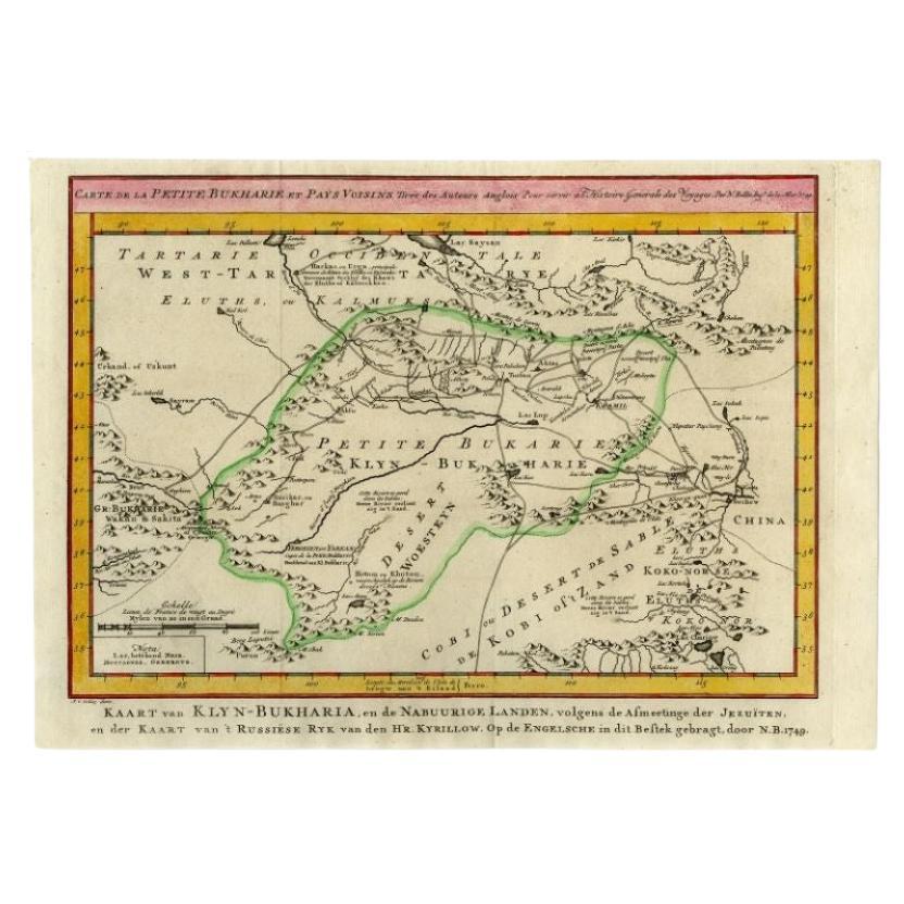
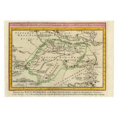
- Antique Map of the Bukhari Region by Van Schley, 1758Located in Langweer, NLAntique map titled 'Carte de la petite Bukharie et pays voisins.' Original antique map of the Bukhari (Sinkiang in north-western China) and neighboring countries. While these maps by...Category
Antique 18th Century Maps
MaterialsPaper
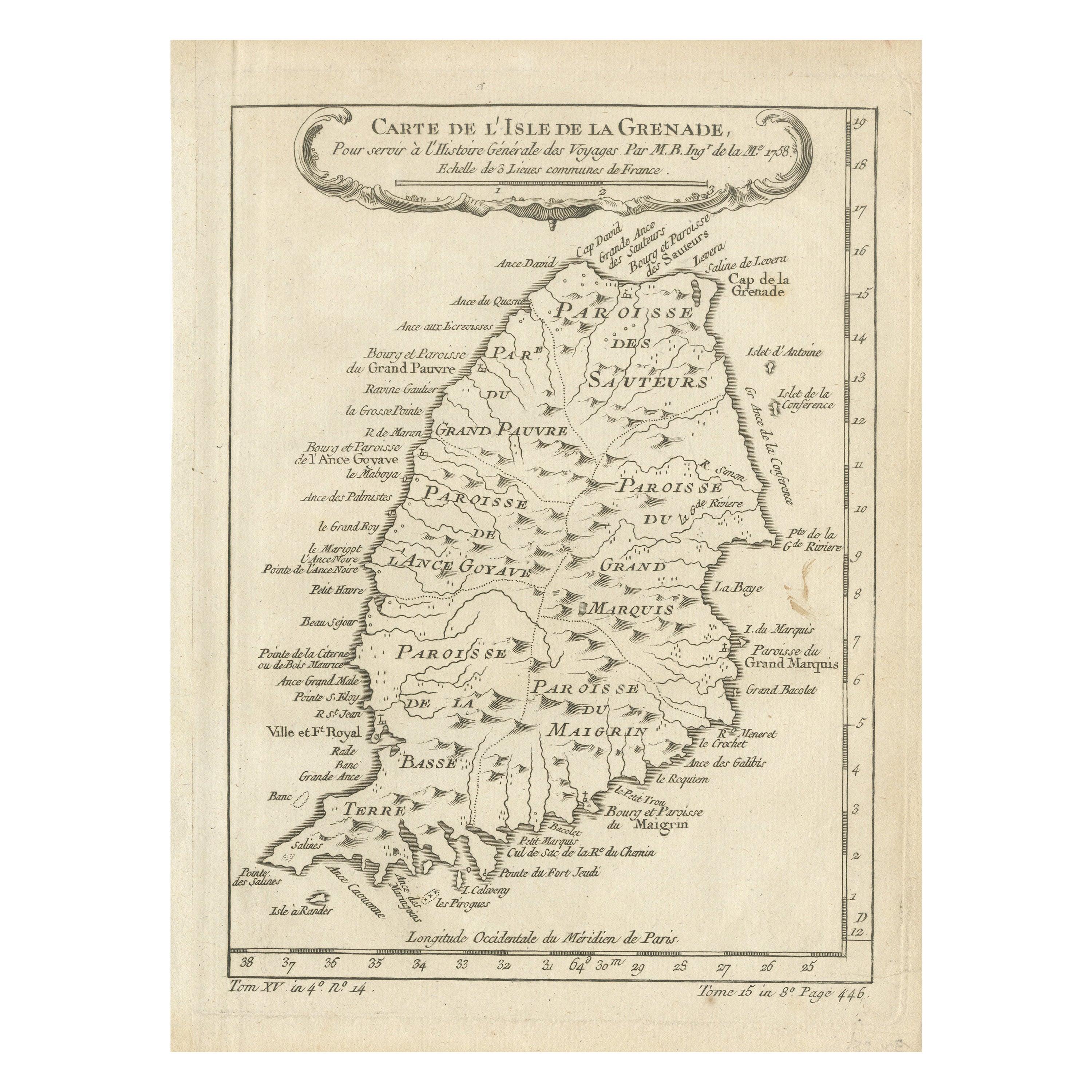
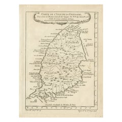
- Antique Map of Grenada, West Indies, 1758Located in Langweer, NL"Exquisite 1758 Map: 'CARTE DE L'ISLE DE LA GRENADE' This alluring map presents a detailed depiction of the Island of Grenada, boasting remarkable intricacy for its time. Notably, i...Category
Antique 1750s Maps
MaterialsPaper
You May Also Like
- Antique Oarsman's Map of the River Thames, English, Cartography, Published 1912Located in Hele, Devon, GBThis is an antique copy of The Oarsman's and Angler's Map of the River Thames - New Edition. An English, bound map book, published in English by Edward Stanford, London, this new edi...Category
Early 20th Century British Other Books
MaterialsPaper
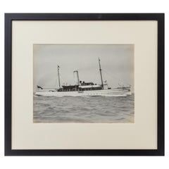
- Original Gelatine Print of a Gentleman’s Steam YachtLocated in Lymington, HampshireAn original gelatine print of a gentleman’s steam yacht steaming eastwards through the Solent by Wm U Kirk. Impressed to the right hand side.Category
Antique Early 1900s English Nautical Objects
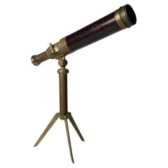
- Charming Vintage Gentleman's Library TelescopeLocated in Chicago, ILA vintage gentleman's library telescope Not sure exactly of it's age. Estimated Mid Victorian Period ( 1860-1880). Uncertain to maker and origin. ...Category
Antique Mid-19th Century Victorian Mounted Objects
MaterialsBrass
- 1840 Map of the City of Washington Published by William M. MorrisonLocated in Colorado Springs, COThis map, printed in 1840, is a detailed representation of Washington, D.C. in the mid-19th century. The map shows block numbers, wards, and government buildings as well as details o...Category
Antique 1840s American Federal Maps
MaterialsPaper
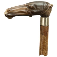
- Antique Automata Gentleman's Walking Stick, Horse Head Glove HolderLocated in Oxfordshire, GBAutomaton horse head walking cane. Early 20th century walking stick with an automaton horse head glove holder. The handle is carved from Horn, finel...Category
Antique Early 1900s Victorian Sports Equipment and Memorabilia
MaterialsHorn
- Original Antique Map of Spain and Portugal, circa 1790Located in St Annes, LancashireSuper map of Spain and Portugal Copper plate engraving by A. Bell Published, circa 1790. Unframed.Category
Antique 1790s English Other Maps
MaterialsPaper