Items Similar to Original Antique Map of the Dutch East Indies, Nowadays Indonesia, ca.1840


Want more images or videos?
Request additional images or videos from the seller
1 of 6
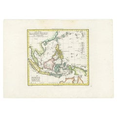
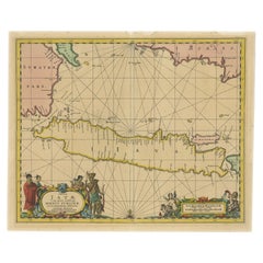
Original Antique Map of the Dutch East Indies, Nowadays Indonesia, ca.1840
About the Item
Original antique map of the East Indies including Borneo, Celebes, Java, Sumatra and surrounding islands. Published circa 1840.
Artists and Engravers: Engraved by J. & C. Walker.
Condition: Good, general age-related toning. Minor wear, blank verso. Please study image carefully.
- Dimensions:Height: 13.59 in (34.5 cm)Width: 16.15 in (41 cm)Depth: 0 in (0.02 mm)
- Materials and Techniques:
- Period:
- Date of Manufacture:circa 1840
- Condition:Wear consistent with age and use.
- Seller Location:Langweer, NL
- Reference Number:
About the Seller
5.0
Platinum Seller
These expertly vetted sellers are 1stDibs' most experienced sellers and are rated highest by our customers.
Established in 2009
1stDibs seller since 2017
1,957 sales on 1stDibs
Typical response time: <1 hour
- ShippingRetrieving quote...Ships From: Langweer, Netherlands
- Return PolicyA return for this item may be initiated within 14 days of delivery.
More From This SellerView All
- Antique Map of Batavia, Dutch East Indies, Nowadays Jakarta, Indonesia, ca.1669Located in Langweer, NLAntique map titled 'Ware afbeeldinge wegens het Casteel ende Stadt Batavia gelegen opt groot Eylant Java Anno 1679. Plan de la Ville et du Chateau de Batavia en l'Isle de Iava. 1679....Category
Antique 1660s Maps
MaterialsPaper
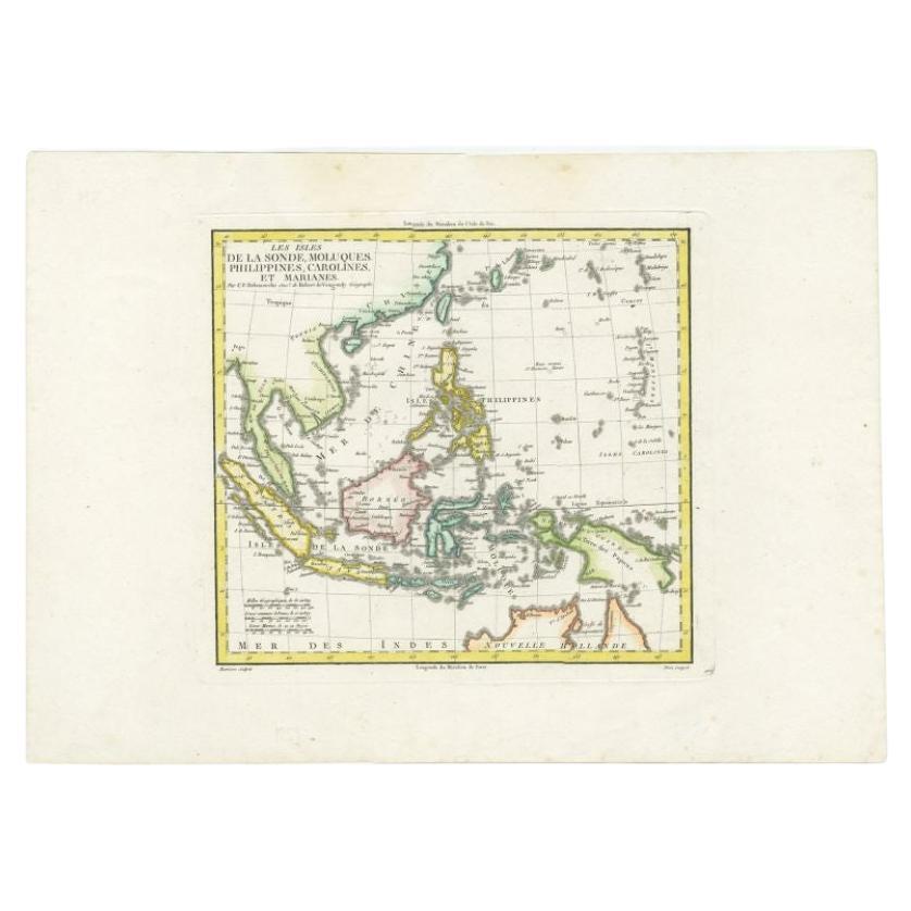
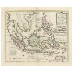
- Antique Colourful Map of the Dutch East Indies 'Indonesia', ca.1806Located in Langweer, NLAntique map titled 'Les Isles de la Sonde Moluques Philippines, Carolines et Marianes'. Old map of the East Indies, also showing a part of Australia. Artists and Engravers: Publi...Category
Antique 19th Century Maps
MaterialsPaper
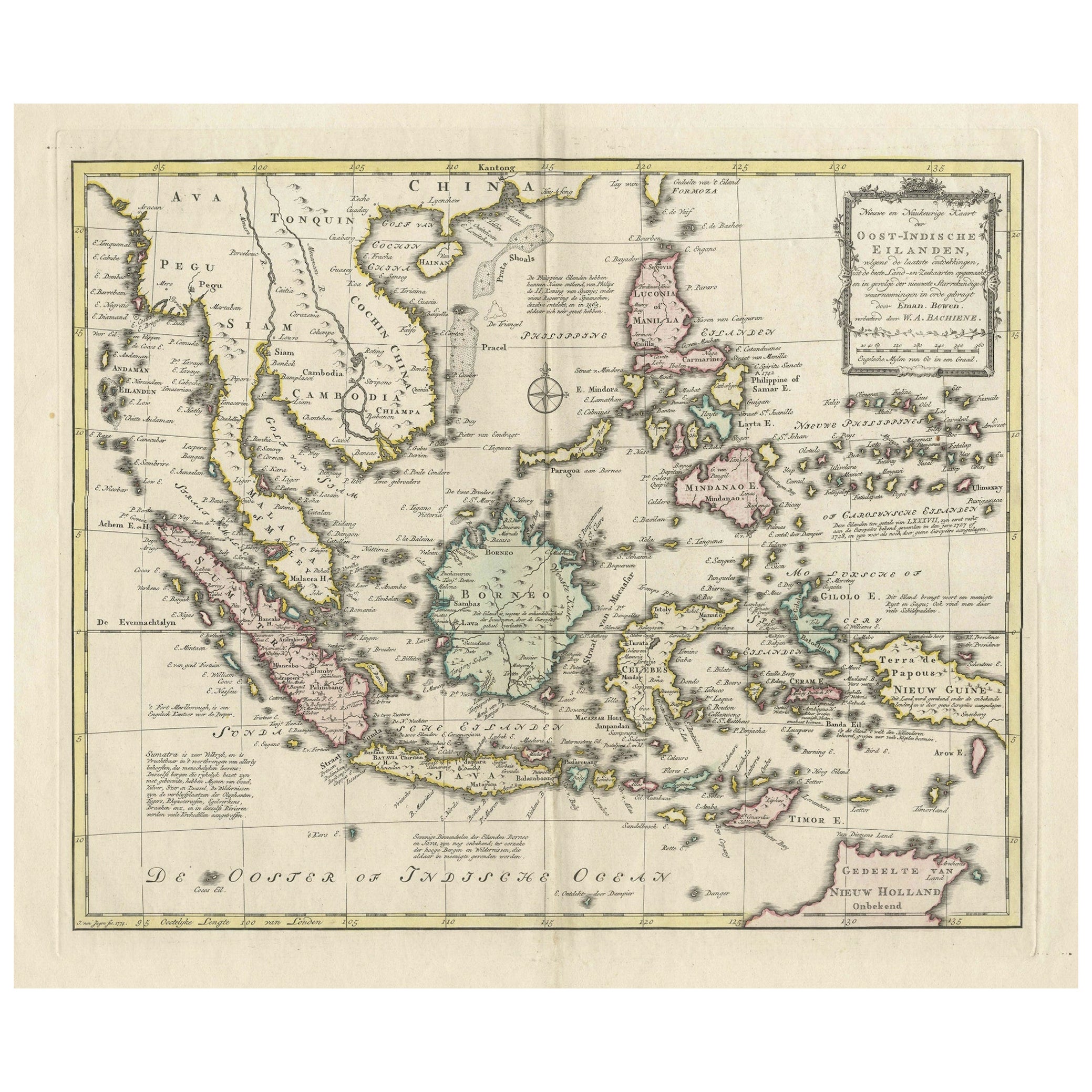
- Rare Antique Map of the Dutch East Indies 'Indonesia', 1774Located in Langweer, NLRare decorative engraved map of the Dutch East Indies, or nowadays Indonesia. Title (in old Dutch): NIEUWE EN NAUKEURIGE KAART DER OOST-INDISCHE ...Category
Antique 1770s Maps
MaterialsPaper
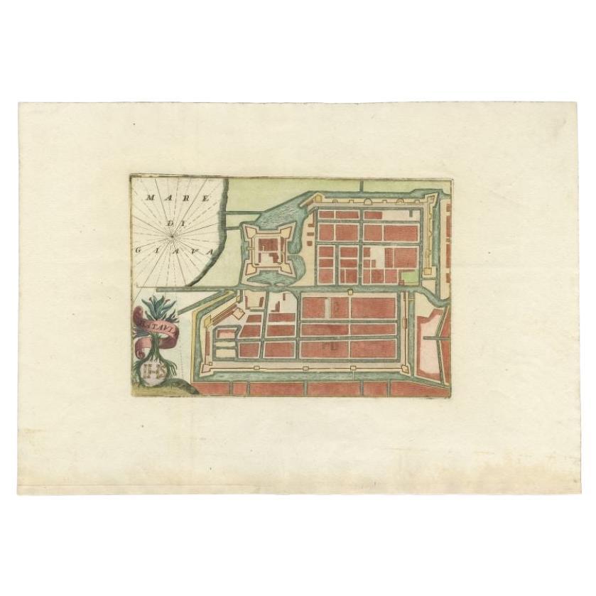
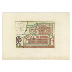
- Antique Plan of Batavia in the Dutch East Indies or Nowadays Jakarta, IndonesiaLocated in Langweer, NLRare plan of Batavia titled 'Batavia'. With 'IHS' monogram, symbolizing Jesus Christ. Source unknown, to be determined. Artists and Enrgavers: Anonymous. Condition: Very good,...Category
Antique 18th Century Maps
MaterialsPaper
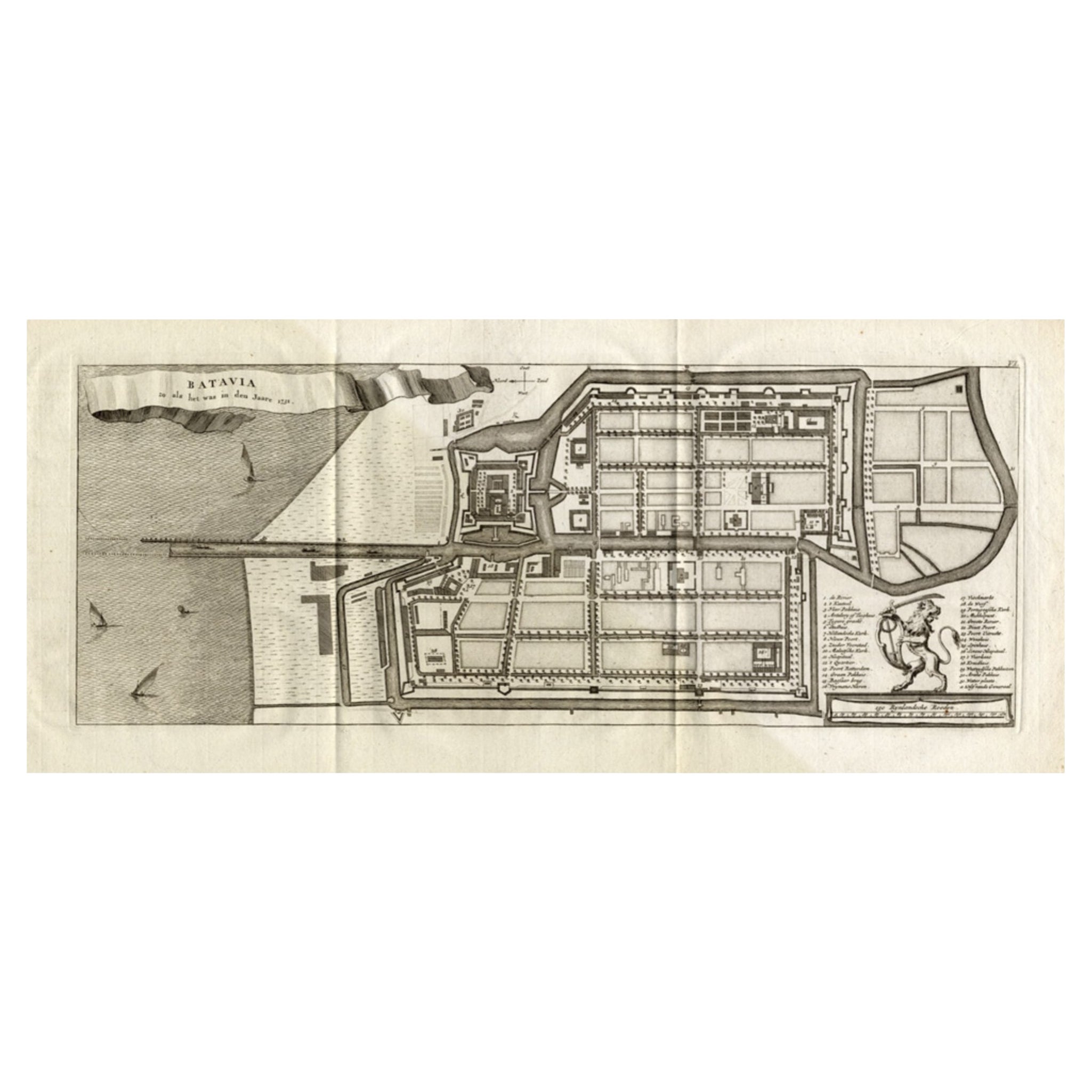
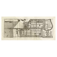
- Antique Map of Batavia 'Jakarta, Indonesia', the Dutch East-Indies, 1782Located in Langweer, NLAntique map titled 'Batavia zo als het was in den Jaare 1731.' (Batavia as it was in the year 1731.) Map of the city of Batavia (Jakarta) in Indonesia. With legend and scale. This pr...Category
Antique 18th Century Maps
MaterialsPaper
- Antique Map of Java in The Dutch East Indies, Now Indonesia, c.1690Located in Langweer, NLAntique map titled 'Insulae Iavae cum parte insularum Boreno Sumatrae (..)'. Beautiful map of the Island of Java and part of Borneo, Bali, Madura and Sumatra. Artists and Engrave...Category
Antique 17th Century Maps
MaterialsPaper

You May Also Like
- Original Antique Map of South East Asia by Becker, circa 1840Located in St Annes, LancashireGreat map of South East Asia Steel engraving with original color outline Engraved by Becker Published by Virtue, circa 1840. Unframed.Category
Antique 1840s English Other Maps
MaterialsPaper
- Original Antique Map of Indonesia, 1861Located in St Annes, LancashireGreat map of Indonesia Drawn and engraved by Edward Weller Original color Published in The Weekly Dispatch Atlas, 1861 Repairs to minor e...Category
Antique 1860s English Victorian Maps
MaterialsPaper

- Original Antique Map of Ireland- Kerry. C.1840Located in St Annes, LancashireGreat map of Kerry Steel engraving Drawn under the direction of A.Adlard Published by How and Parsons, C.1840 Unframed.Category
Antique 1840s English Maps
MaterialsPaper
- Large Original Antique Map of The West Indies by Sidney Hall, 1847Located in St Annes, LancashireGreat map of The West Indies Drawn and engraved by Sidney Hall Steel engraving Original colour outline Published by A & C Black. 1847 Unframed Free shipping.Category
Antique 1840s Scottish Maps
MaterialsPaper
- Original Antique Map of Ireland- Tipperary and Waterford. C.1840Located in St Annes, LancashireGreat map of Tipperary and Waterford Steel engraving Drawn under the direction of A.Adlard Published by How and Parsons, C.1840 Unframed.Category
Antique 1840s English Maps
MaterialsPaper
- Original Antique Map of South East Asia, Arrowsmith, 1820Located in St Annes, LancashireGreat map of South East Asia Drawn under the direction of Arrowsmith Copper-plate engraving Published by Longman, Hurst, Rees, Orme and Brown, 1820 Unframed.Category
Antique 1820s English Maps
MaterialsPaper


