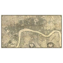
John Rocque Map of London, 1746
View Similar Items

1 of 5
John Rocque Map of London, 1746
About the Item
- Dimensions:Height: 85.44 in (217 cm)Width: 157.49 in (400 cm)
- Style:George II (Of the Period)
- Place of Origin:
- Period:
- Date of Manufacture:c. 1746
- Condition:Minor structural damages.
- Seller Location:London, GB
- Reference Number:Seller: 91431stDibs: LU102481040950
You May Also Like
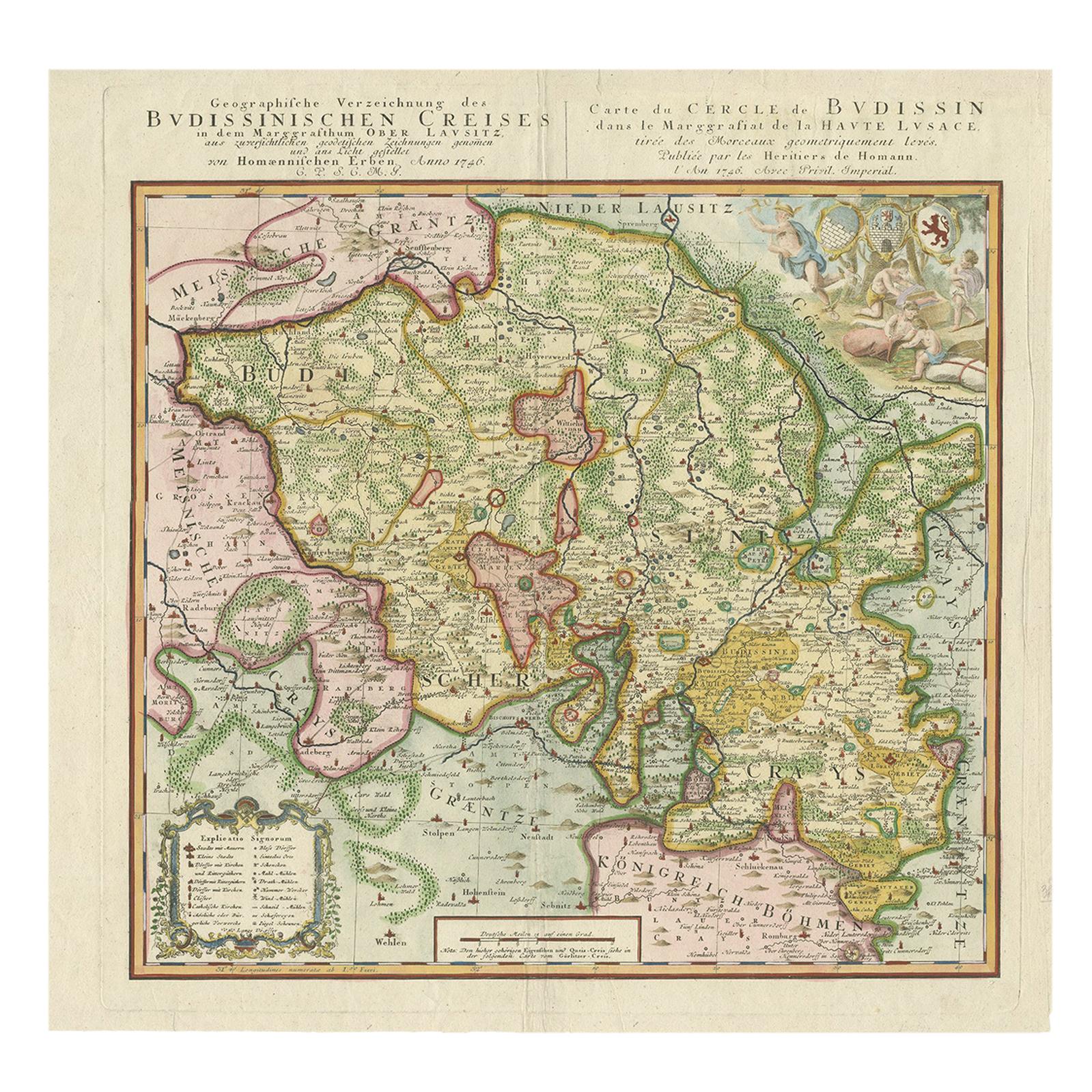
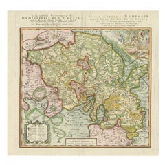
- Antique Map of Oberlausitz by Homann Erben, '1746'Located in Langweer, NLAntique map titled 'Geographische Verzeichnung des Budissinischen Creises (..) - Carte du Cercle de Budissin (..)'. Copper engraved map of Oberlausitz, a historical region of Saxony ...Category
Antique Mid-18th Century Maps
MaterialsPaper
- Original Antique Map of the Cape Verde Islands, 1746Located in Langweer, NLAntique map titled 'Carte Des Isles Du Cap Verd.' Original antique map of the Cape Verde Islands. Decorative cartouche and compass rose. Extends from Isle d...Category
Antique 18th Century Maps
MaterialsPaper
 $149 Sale Price20% Off
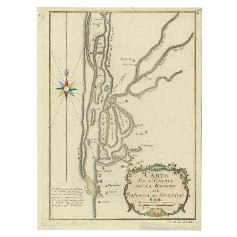
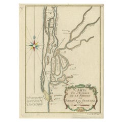
 - Antique Map of The Senegal River by Bellin, 1746Located in Langweer, NLAntique map titled 'Carte de l'Entrée de la Rivière de Sanaga ou Senegal'. Map of the mouth of the Senegal River. This map originates from Prevost's 'Histoire Generale des Voyages'. ...Category
Antique 18th Century Maps
MaterialsPaper
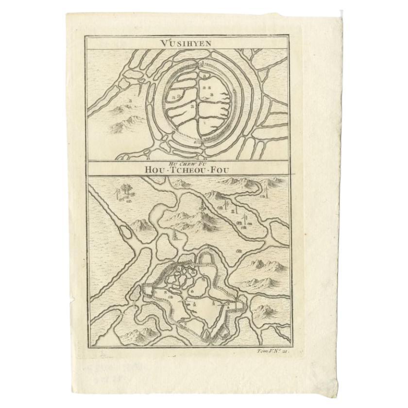
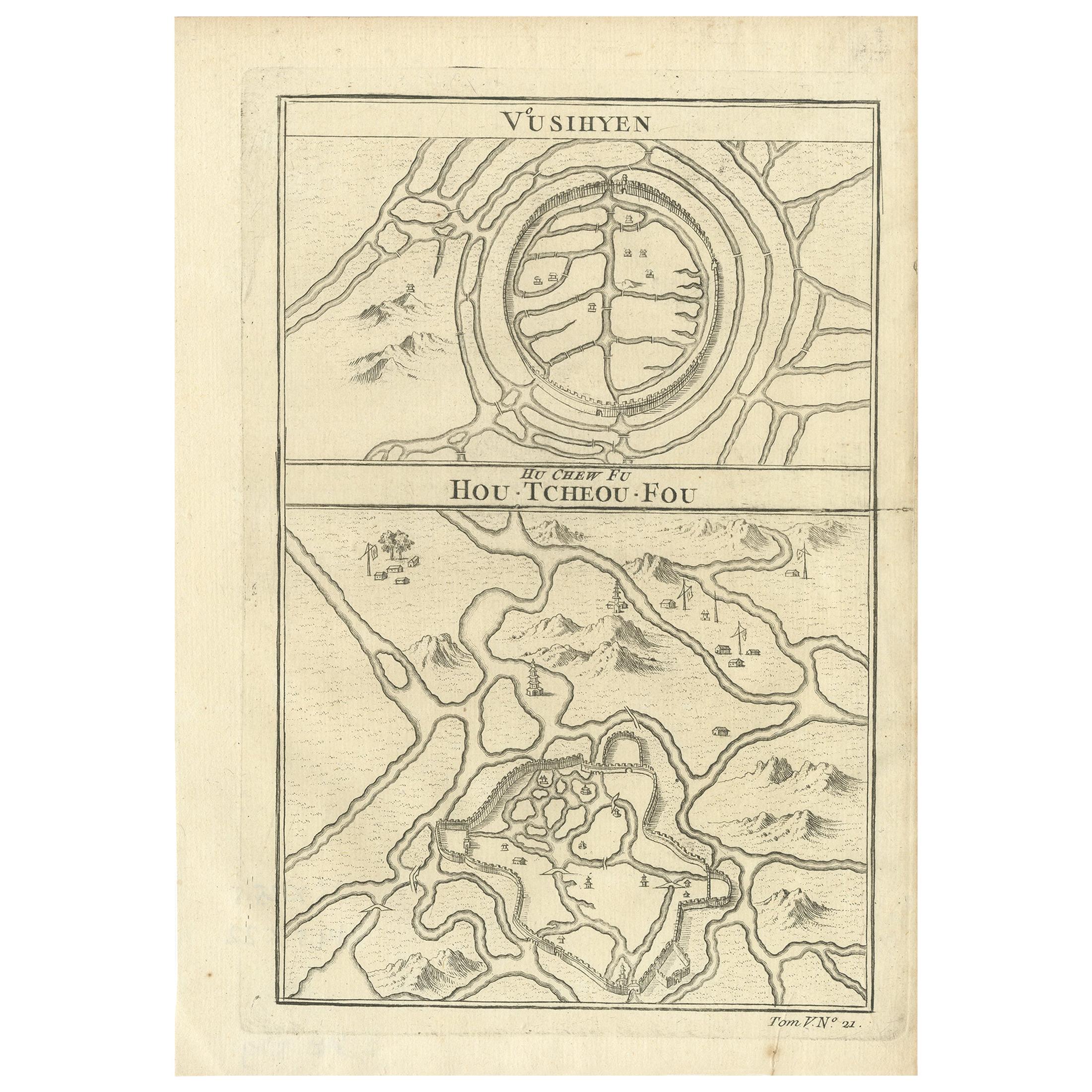
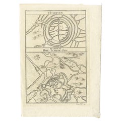
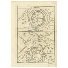
- Antique Map of Wuxi and Huzhou in China, 1746Located in Langweer, NLAntique map titled 'Vusihyen. Hu Chew Fu'. Plans of Wuxi and Huzhou, China. Originates from Prévost's 'Histoire générale des voyages'. Artists and Engravers: Antoine François Prévo...Category
Antique 18th Century Maps
MaterialsPaper
- Antique Map of Wuxi and Huzhou by Prévost '1746'Located in Langweer, NLAntique map titled 'Vusihyen. Hu Chew Fu'. Plans of Wuxi and Huzhou, China. Originates from Prévost's 'Histoire générale des voyages'.Category
Antique Mid-18th Century Maps
MaterialsPaper
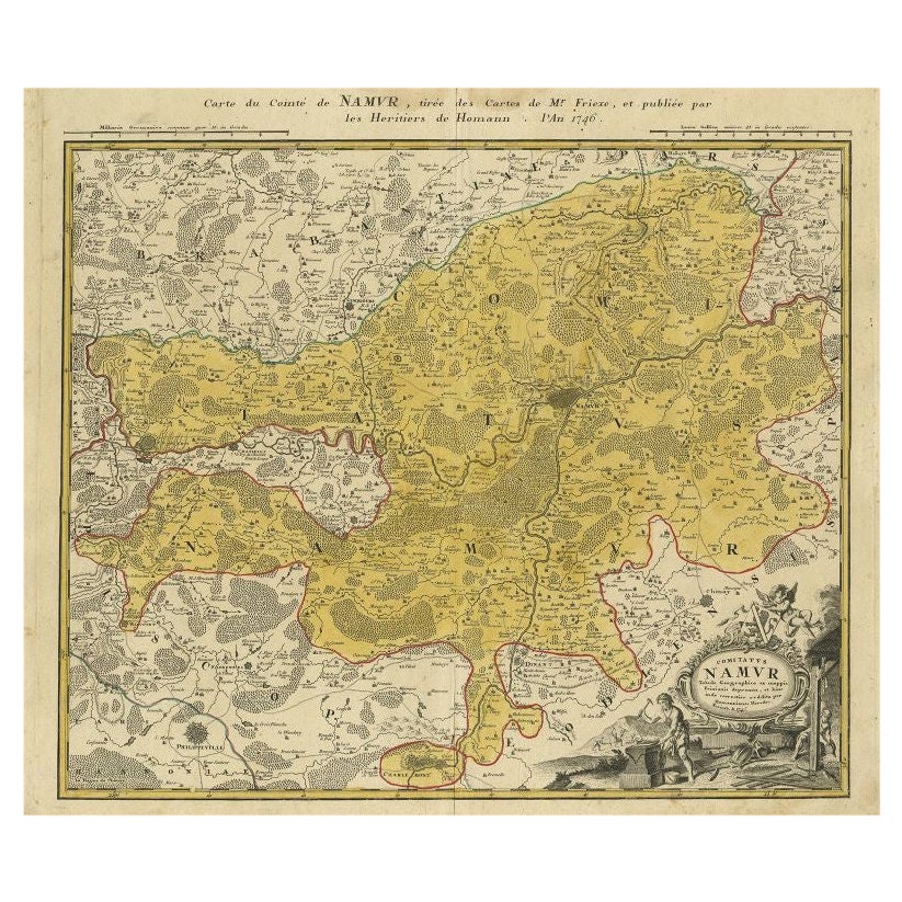
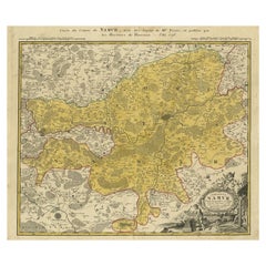
- Antique Map of the Region of Namen by Homann, 1746By Johann Baptist HomannLocated in Langweer, NLAntique map titled 'Comitatus Namur Tabula Geographica ex mappis Frixianis'. Regional map of Namen, Belgium. Artists and Engravers: Homann Heirs was a German publishing firm tha...Category
Antique 18th Century Maps
MaterialsPaper
Recently Viewed
View AllMore Ways To Browse
Antique Whimsical
Antique Atlas Map
Antique Prints Maps
Antique Map Print
Antique Maps Prints
Antique Map Prints
Antique Maps And Prints
Antique Prints And Maps
Map 19th Century
Antique Atlas Furniture
Antique Lined Paper
Map Of France
Large Map
Large Maps
Antique German Collectibles
Original World Map
World Atlas
Map Of Itsly