Items Similar to Rare Set of 3 Map Samplers by A Charles. Italy, Spain & France
Want more images or videos?
Request additional images or videos from the seller
1 of 21
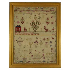
Rare Set of 3 Map Samplers by A Charles. Italy, Spain & France
About the Item
Set of 3 Map Samplers by A Charles. All depict countries, cities, seas and landmarks of the respective countries. The first entitled, 'SPAIN and PORTUGAL'. The second, 'MAP OF FRANCE'. The third, 'ITALY'. The samplers are worked in silk thread on linen ground, in a variety of stitches. Borders showing latitude and longitude coordinates. Colours black, green, gold, copper, pink. Signed on the Italy and Spain/Portual examples, 'A Charles'. Framed in refreshed, antique frame, with old, rippled glass. Gilt slips. Fixed to wood stretcher frames. The frames backed with card and sealed with tape.. Dimensions exclude the frame and slip.
- Dimensions:Height: 6.3 in (16.01 cm)Width: 8.3 in (21.09 cm)Depth: 1.6 in (4.07 cm)
- Sold As:Set of 3
- Materials and Techniques:
- Place of Origin:
- Period:
- Date of Manufacture:1800
- Condition:All: Uniform age darkening of ground. No staining. No stitch losses. No colour run. Spain & Portugal: Generally good. A number of holes. Map of France: Good. A few small holes. Slightly uneven stretching causing sag. Italy: Good. A few tiny holes.
- Seller Location:Chelmsford, GB
- Reference Number:
About the Seller
5.0
Vetted Seller
These experienced sellers undergo a comprehensive evaluation by our team of in-house experts.
Established in 1997
1stDibs seller since 2018
157 sales on 1stDibs
- ShippingRetrieving quote...Ships From: Chelmsford, United Kingdom
- Return PolicyA return for this item may be initiated within 14 days of delivery.
More From This SellerView All
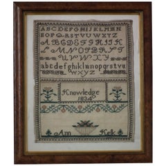
- Antique Sampler, 1834 by Ann KelkLocated in Chelmsford, Essex1834 'Knowledge' Sampler by Ann Kelk. The sampler is worked in silk on a linen ground, in a variety of stitches. Simple embroidered border. Colors black, crea...Category
Antique 1830s English Folk Art Tapestries
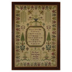
- Antique Sampler, 1799, by Anne StrongLocated in Chelmsford, EssexGeorgian Sampler, 1799, by Anne Strong. The sampler is worked in fine wool and silk on a linen ground, in cross stitch throughout. Unusual curly borde...Category
Antique 1790s English George III Tapestries
MaterialsLinen
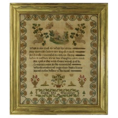
- Victorian Sampler, 1839, by Emma KiteLocated in Chelmsford, EssexVictorian Sampler, 1839, by Emma Kite. The sampler is worked in silk threads on a linen ground. Meandering floral border. Colours green, blue, light brown, silver, black, gold and red. Verse reads, 'What is our God or what his name...Category
Antique 1830s English Victorian Tapestries
MaterialsSilk
- Antique Sampler, 1840, by Emma LindLocated in Chelmsford, EssexVictorian Sampler, 1840, by Emma Lind. The sampler is worked in silk threads on a linen ground, in cross stitch. Meandering strawberry border. Colours red, green, light brown, gold, ...Category
Antique 1840s Tapestries
MaterialsLinen
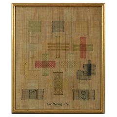
- Antique Darning Sampler, 1791, by Ann ManningLocated in Chelmsford, EssexAntique Darning Sampler, 1791, by Ann Manning. The sampler is worked in silk threads on a linen ground, in a variety of stitches. Comprises of 15 darning p...Category
Antique 1790s George III Tapestries
MaterialsSilk
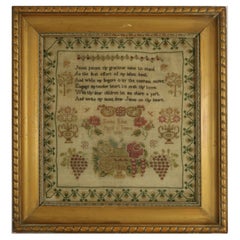
- Regency Period Sampler, 1824, by Eliza BrewsterLocated in Chelmsford, EssexRegency Sampler, 1824, by Eliza Brewster. The sampler is worked in silk on a linen ground, mainly in cross stitch. Meandering floral border. Colours green, red, brown, gold, silver, blue and pink. Verse reads, 'Let me be wise in Youth, O Lord that so, I safe may tread the way, I ought to go. Lead me and teach me what, Is right and just, And in thy help O GOD, To place my trust.'. Signed and dated, 'Eliza Brewster Finish'd this Sampler June 18...Category
Antique 1820s English Regency Tapestries
MaterialsLinen
You May Also Like
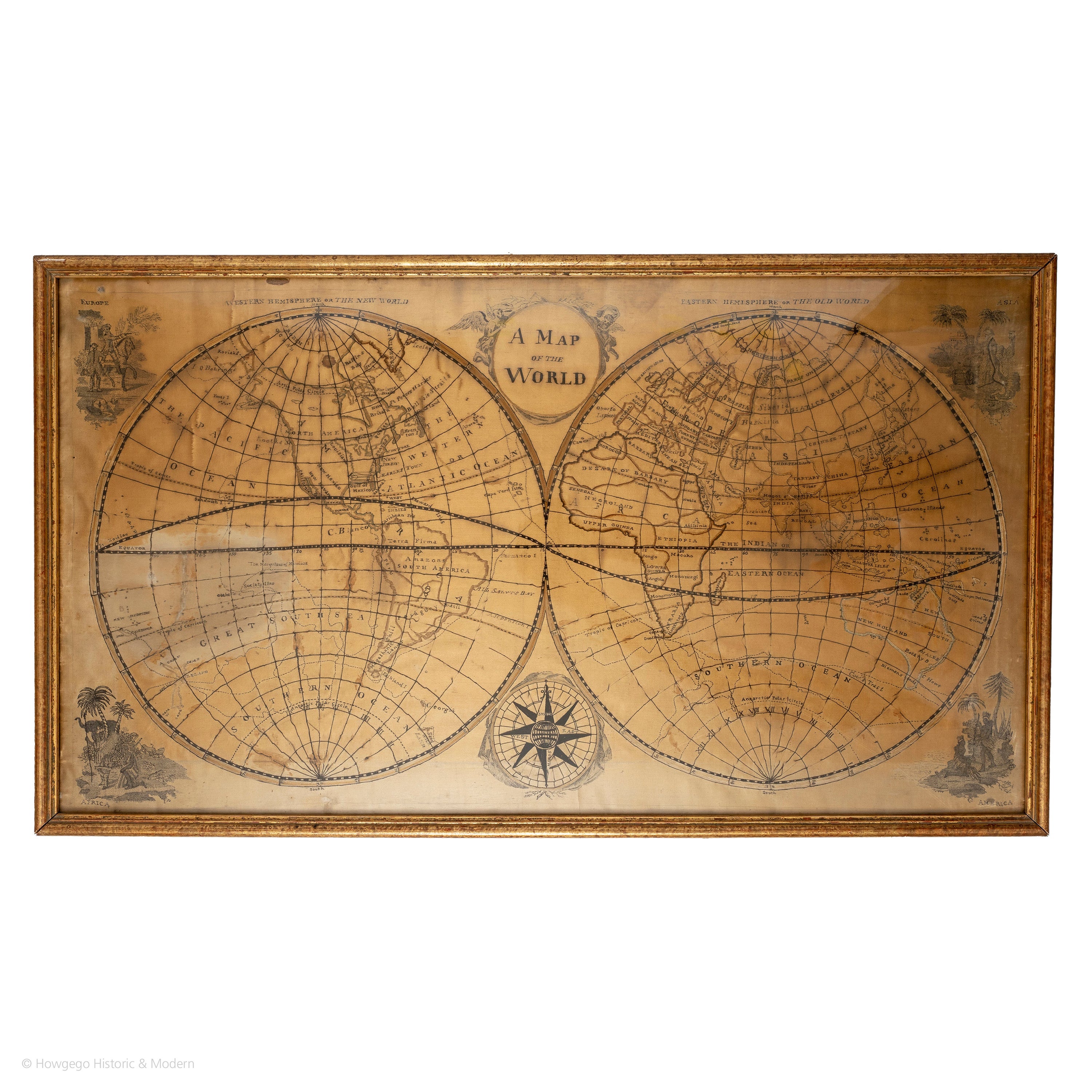
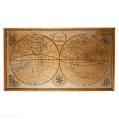
- Map Silk Embroidered Western Eastern Hemisphere New Old World Asia America AfriLocated in BUNGAY, SUFFOLKA rare, late-18th century, silk, embroidered, double hemisphere, world map, blackwork, sampler, showing the tracks of captain cook’s three voyages - Illustrating public understanding of the world in the late-18th century and the recent discoveries of the time delineating the tracks of Captain Cook’s three voyages. - Shows the incentive for further exploration during the 19th century as no mass is indicated within the southern polar region, the interior portions of western North America, Africa, and Australia are still relatively void of detail even though California is no longer shown as an island. - Includes beautifully worked allegories of the four continents Asia, the Americas, Africa & Europe, a cartouche being supported by two angels and a compass - The cream, silk ground is finely embroidered with a variety of stiches in black, silk threads emulating the black ink on maps. -“Recent international conflicts and voyages by Captain Cook and others made the study of geography exciting at the time this map was made. Elaborate embroidered maps...Category
Antique 18th Century British Georgian Maps
MaterialsSilk
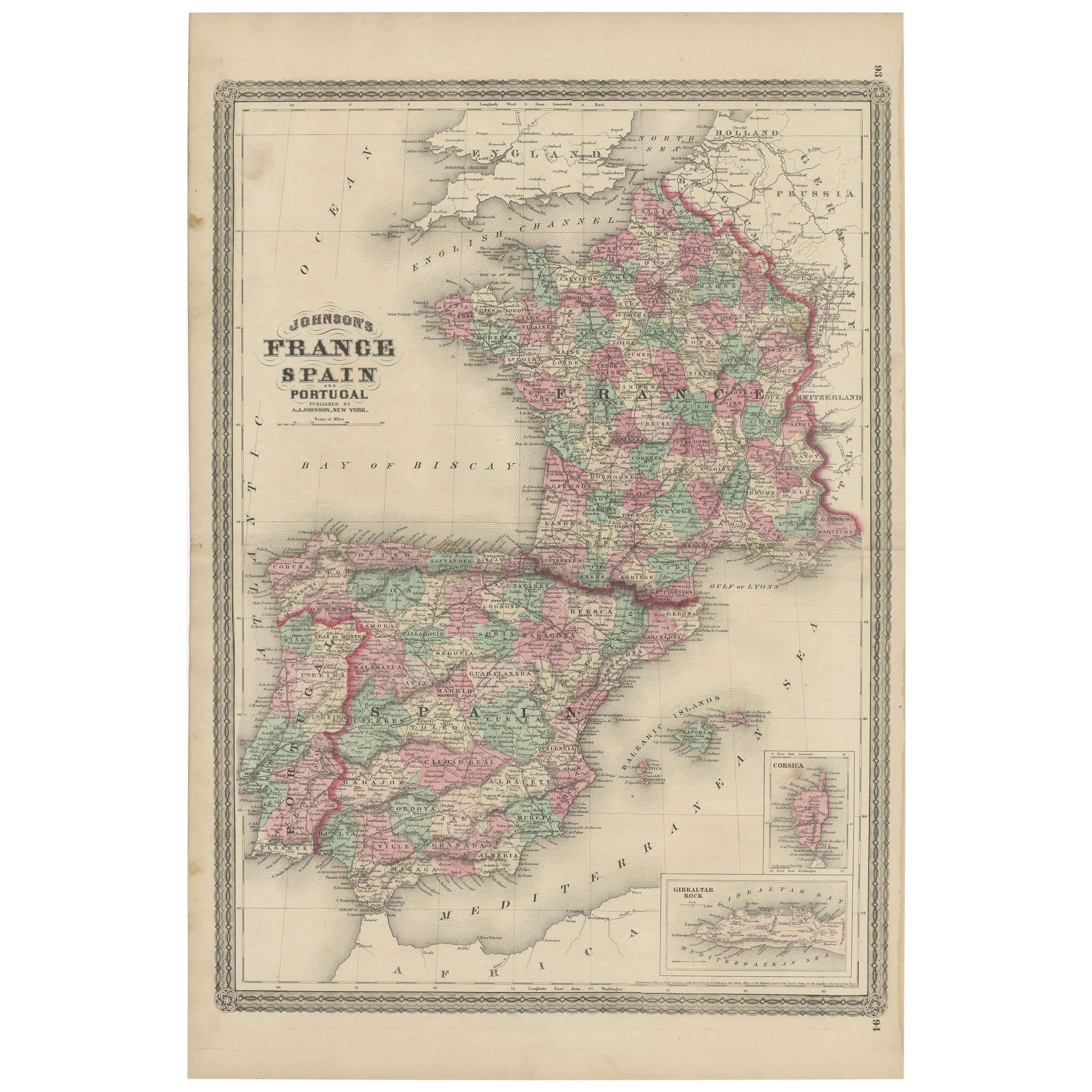
- Antique Map of France, Spain and Portugal by Johnson, 1872Located in Langweer, NLAntique map titled 'Johnson's France (..)'. Original map showing France, Spain and Portugal. With inset maps of Corsica and Gibraltar Rock. This map ori...Category
Antique Late 19th Century Maps
MaterialsPaper
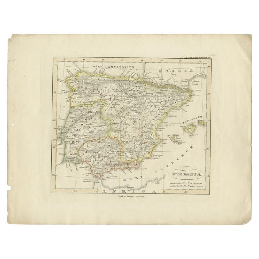
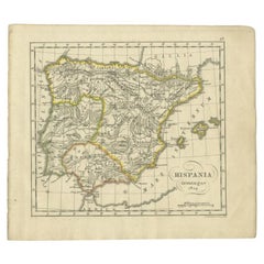
- Antique Map of Spain by Funke, 1825Located in Langweer, NLAntique map titled 'Hispania'. Old map of Spain originating from 'Atlas der Oude Wereld'. Artists and Engravers: Published by C. Ph. Funke and W. van Boek...Category
Antique 19th Century Maps
MaterialsPaper
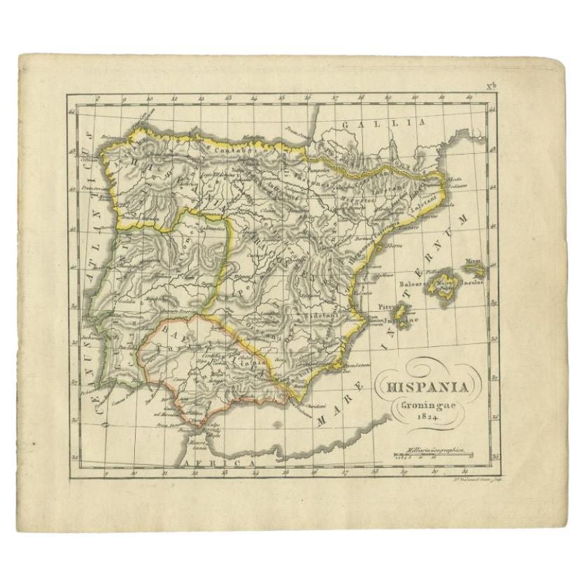
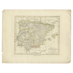
- Antique Map of Spain by Perthes, 1848Located in Langweer, NLAntique map titled 'Hispania'. Old map of Spain originating from 'Orbis Terrarum Antiquus in usum Scholarum'. Artists and Engravers: Published by Justus P...Category
Antique 19th Century Maps
MaterialsPaper
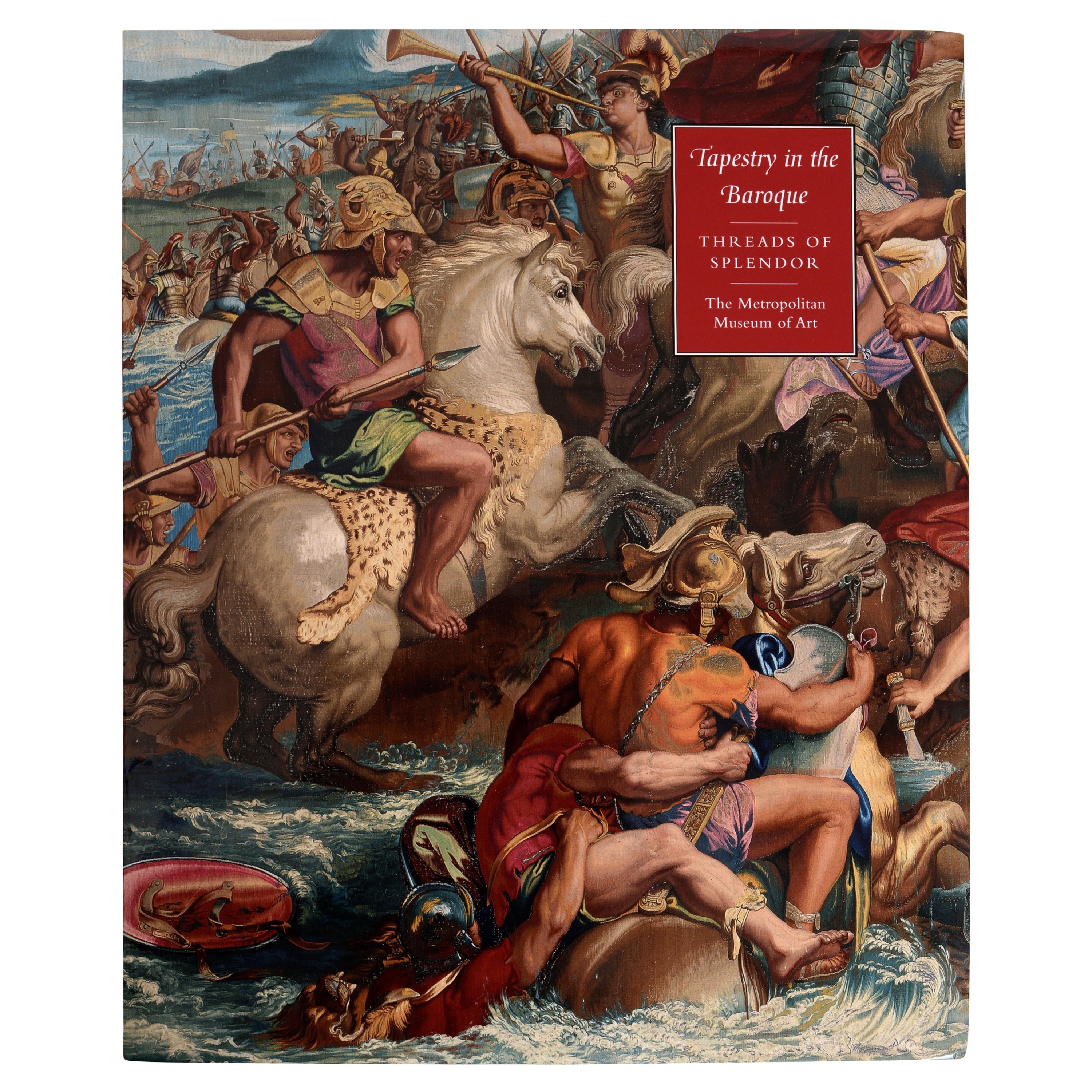
- Tapestry in the Baroque Threads of Splendor by Thomas Campbell, 1st EdLocated in valatie, NYTapestry in the Baroque: Threads of Splendor by Thomas Campbell. Metropolitan Museum of Art, 2007. 1st Ed hardcover with dust jacket, exhibition catalo...Category
21st Century and Contemporary American Books
MaterialsPaper
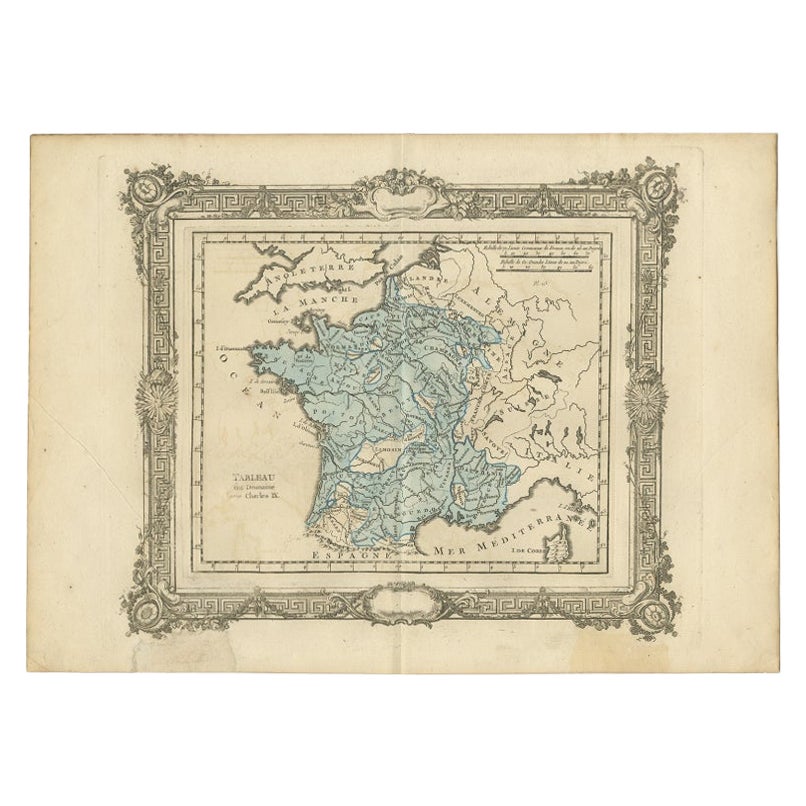
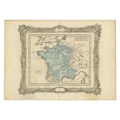
- Antique Map of France under the Reign of Charles IX by Zannoni, 1765Located in Langweer, NLAntique map France titled 'Tableau du Domaine sous Charles IX (..)'. Beautiful old map of France. This map originates from 'Atlas Historique de la France An...Category
Antique 18th Century Maps
MaterialsPaper

Recently Viewed
View AllMore Ways To Browse
French Copper Set
Antique Slips
Sea Tapestry
Antique Tapestry Pink
Ripple Gold Frame
Antique Gold Gilt Italian Frames
Italian Silk Tapestry
Tapestry Italian Silk
Italian 19th Century Tapestry
Antique Spanish Tapestry
Tapestry Sampler
Spanish Copper Antique
Framed Tapestry Sampler
Spanish Frame Gilt And Black
Map Tapestry
Framed Maps Italy
French Sampler
Linen Map Italy