Items Similar to Super Rare Antique French Map of Chine and the Chinese Empire, 1780


Want more images or videos?
Request additional images or videos from the seller
1 of 8
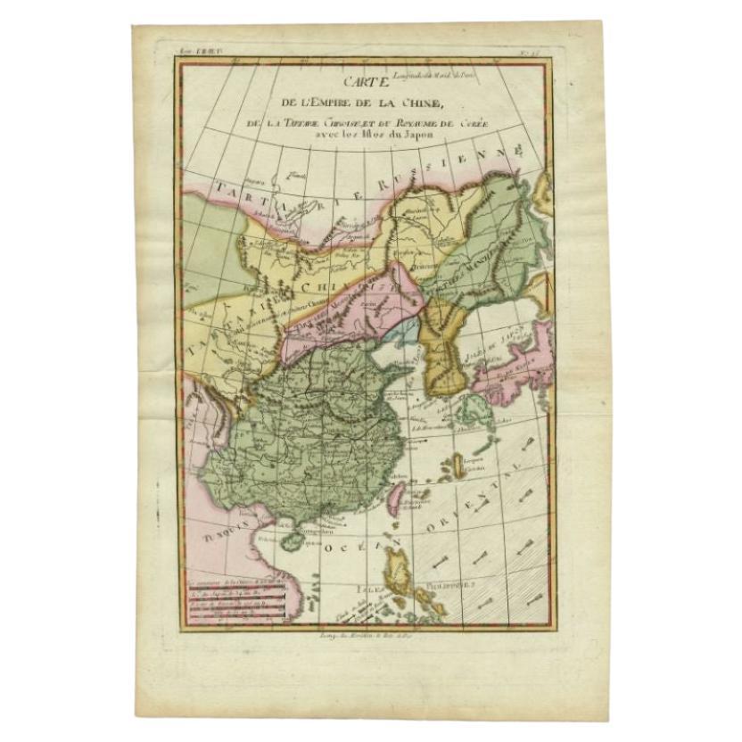
Super Rare Antique French Map of Chine and the Chinese Empire, 1780
About the Item
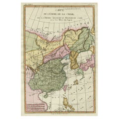
Super Rare Antique French Map of Chine and the Chinese Empire, 1780
Very nice map of Asia. 1780 Made by Bonne.
Additional information:
Type: Map
Country of Manufacturing: Europe
Period: 18th century Qing (1661 - 1912)
Condition: Overall Condition A (Good): Some trace of use.
Dimension: 25.5 W x 35 H cm
- Dimensions:Height: 13.78 in (35 cm)Width: 10.04 in (25.5 cm)Depth: 0.04 in (1 mm)
- Materials and Techniques:
- Place of Origin:
- Period:
- Date of Manufacture:1780
- Condition:Overall Condition A (Good ): Some trace of use.
- Seller Location:Amsterdam, NL
- Reference Number:
About the Seller
5.0
Gold Seller
These expertly vetted sellers are highly rated and consistently exceed customer expectations.
Established in 2015
1stDibs seller since 2019
158 sales on 1stDibs
Typical response time: 8 hours
- ShippingRetrieving quote...Ships From: Amsterdam, Netherlands
- Return PolicyA return for this item may be initiated within 14 days of delivery.
More From This SellerView All
- Antique Carte de L'Inde Myanmar, Malaysia Vietnam Map of Asia the Chinese EmpireLocated in Amsterdam, Noord HollandAntique Carte de L'Inde Myanmar, Malaysia Vietnam Map of Asia the Chinese Empire Very nice map of Asia. Additional information: Type: Map Country of Man...Category
Antique 18th Century European Maps
MaterialsPaper
- Antique French Map of Asia Including China Indoneseia India, 1783Located in Amsterdam, Noord HollandVery nice map of Asia. 1783 Dedie au Roy. Additional information: Country of Manufacturing: Europe Period: 18th century Qing (1661 - 1912) Condition: Overall Condition B (Good Used)...Category
Antique 18th Century European Maps
MaterialsPaper
- Antique 1803 Italian Map of Asia Including China Indoneseia IndiaLocated in Amsterdam, Noord HollandAntique 1803 Italian Map of Asia Including China Indoneseia India Very nice map of Asia. 1803. Additional information: Type: Map Country of Manufacturing: Europe Period: 19th centu...Category
Antique 19th Century European Maps
MaterialsPaper
- Antique Chinese Tin Toy Chinese MS 705 Trolley Bus Shanghai-Rare, 1950/1960Located in Amsterdam, Noord HollandOne of the absolute rarest antique Chinese toys made. Antique Red China Tin Toy clockwork. Chinese MS 705 Trolley Bus Shanghai-Rare! Additional informatio...Category
20th Century Chinese Toys and Dolls
MaterialsPorcelain
- Antique Chinese Tin Toy Car Mini Sedan MF152 Shanghai, 1950/1960Located in Amsterdam, Noord HollandOne of the absolute rarest antique Chinese toys made. This is a most unusually made antique toy from the 1950/1960s . A Mini sedan Shanghai car with the nr MF 152 Additional informa...Category
20th Century Chinese Toys and Dolls
MaterialsPorcelain
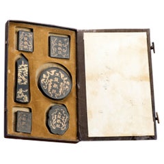
- Antique Chinese Calligraphy Ink Stones in Box Great Condition, ca 1900-1930Located in Amsterdam, Noord HollandAntique Chinese Calligraphy Ink Stones in Box Great Condition, ca 1900-1930. Very interesting Additional information: Type: Boxes Region ...Category
Antique 19th Century Chinese Nautical Objects
MaterialsPorcelain


You May Also Like
- Antique Map of the Empire of China by Bonne, c.1780By Rigobert BonneLocated in Langweer, NLAntique map titled 'Carte de L'Empire de la Chine.' Decorative map of the Empire of China, depicting China, Corea ( Korea ), Japan, Tonquin and the Philippine island Lucon. Source un...Category
Antique 18th Century Maps
MaterialsPaper
- Antique Map of the Russian Empire by R. Bonne, 1780Located in Langweer, NLAntique map titled 'Carte de l'Empire de Russie.' Drawn by R. Bonne for G. Raynal’s Atlas de Toutes les Parties Connues du Globe Terrestre, Dressé pour l'Histoire Philosophique et Po...Category
Antique Late 18th Century Maps
MaterialsPaper
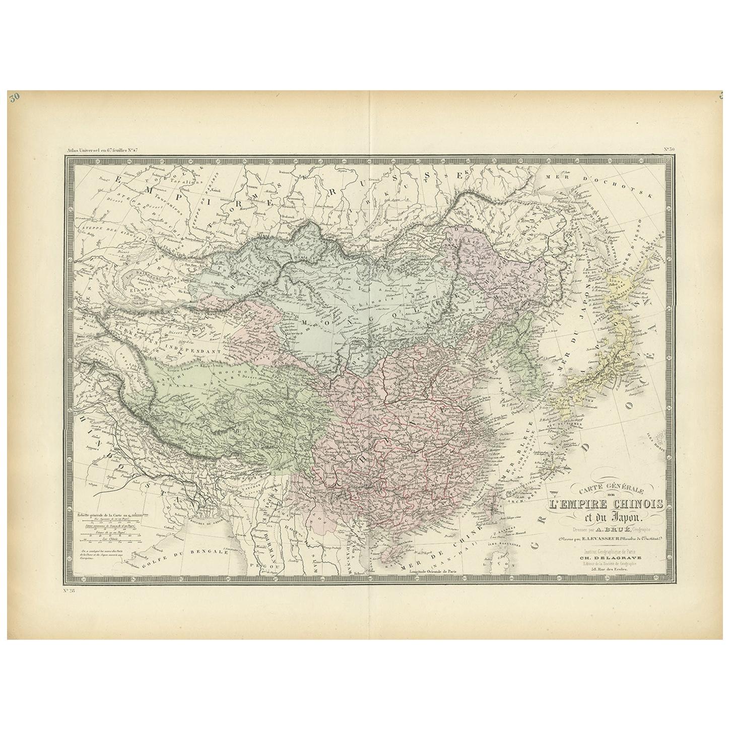
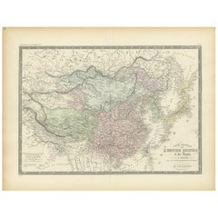
- Antique Map of the Chinese Empire and Japan, '1875'Located in Langweer, NLAntique map titled 'Carte générale de l'Empire Chinois et du Japon'. Large map of the Chinese Empire and Japan. This map originates from 'Atlas de Géographie Moderne Physique et Poli...Category
Antique Late 19th Century Maps
MaterialsPaper
- Antique Map of the Russian Empire in Europe, ca.1780Located in Langweer, NLDescription: Antique map titled 'Bowles's New Pocket Map of the Russian Empire in Europe, Comprehending the West Part of the Empire in Asia' Large and detai...Category
Antique 1780s Maps
MaterialsPaper
- Decorative Map of the Empire of China, Korea, Japan, Taiwan, Lucon, Macau, 1780Located in Langweer, NLAntique map titled 'Carte de L'Empire de la Chine.' Decorative map of the Empire of China, depicting China, Corea ( Korea ), Japan, Tonquin and the Philippine island Lucon. Source unknown, to be determined. Artists and Engravers: Rigobert Bonne (1727-1795 ) was one of the most important cartographers of the late 18th century. In 1773 he succeeded Jacques Bellin as Royal Cartographer to France in the office of the Hydrographer at the Depôt de la Marine. Working in his official capacity Bonne compiled some of the most detailed and accurate maps of the period. Bonne's work represents an important step in the evolution of the cartographic ideology away from the decorative work of the 17th and early 18th century towards a more detail oriented and practical aesthetic. With regard to the rendering of terrain Bonne maps...Category
Antique 1780s Maps
MaterialsPaper
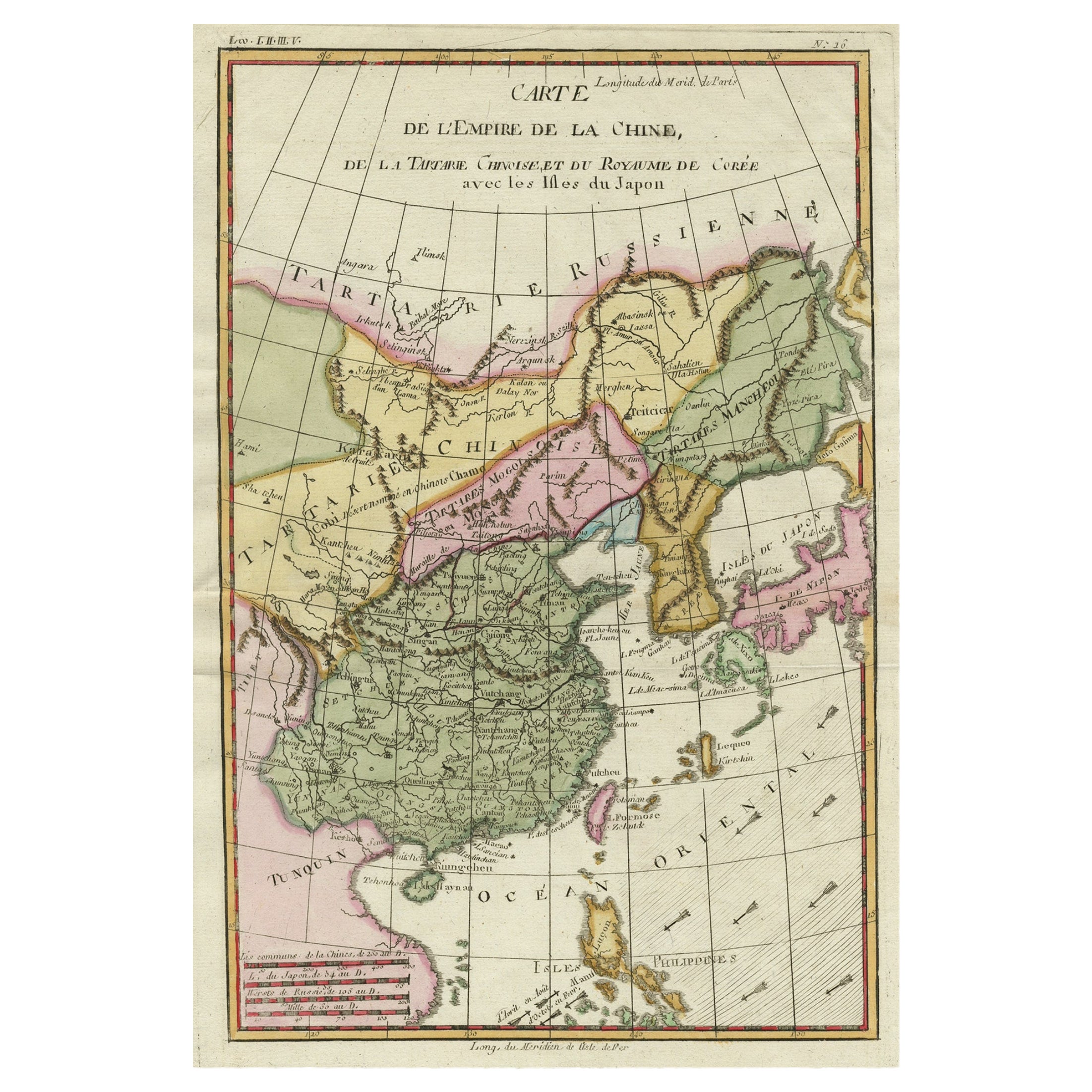
- Antique Map of China, Korea, Japan and the Northern Philippines, circa 1780Located in Langweer, NLAntique map titled 'Carte de l'Empire de la Chine de la Tartarie Chinoise, et du Royaume de Corée'. Interesting and detailed map of China, Korea, Japan and the Northern Philippines. ...Category
Antique Late 18th Century Maps
MaterialsPaper


Recently Viewed
View AllMore Ways To Browse
18th Century European Maps
Ree Brown
Winkler Prins
Very Large Map
Antique American Victorian Furniture
A Plan City And Castle Of Batavia
Cheshire Map
John Speed Isle Of Wight Maps
Malacca Strait Map
Antique Map Of South Korea
Antique Compass France
Isle Of Wight Maps
Carl Probst
Guatemala Antique Map
Antique Maps Washington Dc
Cyclades Map
Dao Antique Map
Eso Antique Maps