Articles similaires à 1791 Gazette of The United States, with Plans for the Capital City of Washington


Vous voulez plus d'images ou de vidéos ?
Demander au vendeur plus d'images ou de vidéos
1 sur 11
1791 Gazette of The United States, with Plans for the Capital City of Washington
À propos de cet article
Presented is a very early description of the City of Washington, as the planned Federal capital city. The article, written by an anonymous "Spectator,” was published in the October 8, 1791 issue of the Gazette of the United States. Spanning two columns of text, the article details in full the natural terrain and waterways, the designed plan of Pierre L’Enfant for the city’s layout, buildings, and streets, the ceding of territory from Virginia and Maryland, and the eventual sale of lots to the public. The author argues that “the founding of this city, in such an eligible situation, upon such a liberal and elegant plan, will, by future generations, be considered as one of the most important transactions of the present President of the United States; while its name will keep fresh in mind, to the end of time, the many important services he has rendered his country.”
The authority to establish a federal capital was provided in Article One, Section 8, of the United States Constitution, which permits Congress “to exercise exclusive Legislation in all Cases whatsoever, over such District (not exceeding ten Miles square) as may, by Cession of particular States, and the Acceptance of Congress, become the Seat of the Government of the United States.” The Constitution, however, did not specify a location for the new capital. James Madison explained the need for a federal district on January 23, 1788 in the Federalist No. 43, arguing that the national capital needed to be distinct from the states, in order to provide for its own maintenance and safety. In what later became known as the Compromise of 1790, Madison, Hamilton, and Jefferson came to an agreement that the federal government would assume war debt carried by the states, on the condition that the new national capital would be located in the South. On July 16, 1790, the Residence Act provided for a new permanent capital to be located on the Potomac River, the exact area to be selected by President Washington. Both Maryland and Virginia ceded portions of their territory to form the new capital, located on the north bank of the Potomac. On September 9, 1791, the federal city was named in honor of George Washington and the district was named the Territory of Columbia.
The city's lay-out derived from a number of ideas, Washington's and Jefferson's most famously, but owes most of its initial configuration to Pierre Charles L'Enfant, who had served under Washington during the war as an engineer. In 1791, President Washington asked L'Enfant to design the new capital city in the District of Columbia. L'Enfant designed a city similar in layout to the then French capital city of Versailles. Spreading out from the crux of the Potomac and its East Branch in a north-south grid, the city was planned with fifteen additional avenues (for the then fifteen states) that radiated from the White House or Capitol or parallel one of those avenues. As described in the article, these avenues “not only produce a variety of charming prospects, and facilitate the communication through the city, but remove that insipid sameness, that renders Philadelphia and Charleston unpleasing.”
L’Enfant’s great plan for the federal city, as described in this article, was later modified by Andrew Ellicott. In 1791, troubles arose between the Commissioners of the City and L'Enfant because they needed to have a printed copy of the plan in order to sell buildings and public lots. L'Enfant frustrated them by working too slowly and releasing only sketchy plans. On February 27, 1792, by instruction from Washington, Thomas Jefferson wrote a letter to L'Enfant dismissing him as city planner. Surveyor and mathematician Andrew Ellicott had already completed a detailed survey of the city in 1791, so he was an obvious choice as L’Enfant’s replacement.
The Gazette of the United States was the leading Federalist newspaper of the late 18th century. Adopting the motto, “he that is not for us, is against us,” the newspaper was a stalwart defender of the Federalist administration and a staunch critic of its opponents. Editor John Fenno issued the Gazette as a semiweekly newspaper, published on Wednesdays and Saturdays, with the first edition appearing on April 15, 1789, in New York City, the nation’s capital at the time. One of its most significant supporters was Alexander Hamilton, who organized its initial funding and was a primary, albeit anonymous, contributor of letters and essays. In 1791 the Gazette moved to Philadelphia, located at No. 69 High Street, between Second and Third Streets. The newspaper included foreign news, political essays, letters, and news reports, with very little distinction between the news and editorial comment.
CONDITION:
Very good condition. Paper is very healthy, with only light toning. Light wrinkling and creasing in outer margins. Paper is printed with black ink in three columns of text. Ink has faded only slightly. Attractive masthead at the top, indicating issue number and date, “No. 47 of Vol. III, Saturday, October 8, 1791. Whole No. 255.”
Attractively and archivally framed in a custom-built black wooden frame with gold beaded spandrel, acid-free top mats, and UV conservation glass.
Framed Dimensions: 20 1/8"H x 13 5/8"W x 1"D.
Accompanied by our company's letter of authenticity.
- Dimensions:Hauteur : 51,14 cm (20,13 po)Largeur : 34,63 cm (13,63 po)Profondeur : 2,54 cm (1 po)
- Style:Fédéral (De la période)
- Matériaux et techniques:
- Lieu d'origine:
- Période:1790-1799
- Date de fabrication:1791
- État:Ajouts ou modifications apportés à l'original: Archivally framed by Artem Art Services in Colorado Springs, Colorado, in November of 2024. Usure conforme à l'âge et à l'utilisation.
- Adresse du vendeur:Colorado Springs, CO
- Numéro de référence:Vendeur : PR5081stDibs : LU909745223842
À propos du vendeur
4,9
Vendeur Platine
Vendeurs premium dont la note est supérieure à 4,7 et le délai de réponse de 24 heures maximum
Établi en 2010
Vendeur 1stDibs depuis 2011
452 ventes sur 1stDibs
Temps de réponse habituel : 1 heure
- ExpéditionRecherche du devis...Expédition depuis : Colorado Springs, CO
- Politique des retours
Certaines parties de cette page ont été traduites automatiquement. 1stDibs ne garantit pas l'exactitude des traductions. L'anglais est la langue par défaut de ce site web.
Garantie d'authenticité
Bien qu'il soit peu probable que la situation se présente, dans le cas où vous rencontreriez un problème d'authenticité d'un article, contactez-nous dans un délai d'un an pour obtenir un remboursement intégral. DétailsGarantie de remboursement
Si votre article n'est pas conforme à la description, est endommagé pendant le transport ou ne vous est pas livré, contactez-nous sous 7 jours pour obtenir un remboursement intégral. DétailsAnnulation sous 24 heures
Vous disposez d'un délai de 24 heures pour annuler votre achat sans motif.Des vendeurs professionnels agréés
Nos vendeurs de renommée mondiale doivent respecter des normes strictes en matière de service et de qualité, afin de préserver l'intégrité de nos fiches produit.Garantie d'alignement des prix
Si vous constatez qu'un autre vendeur a mis en vente le même article à un prix inférieur sur un autre site, nous nous alignerons sur ce prix.Livraison en toute confiance à l'international
Notre réseau de transporteurs de premier ordre propose des options d'expédition spécialisées dans le monde entier, y compris des livraisons personnalisées.Plus d'articles de ce vendeur
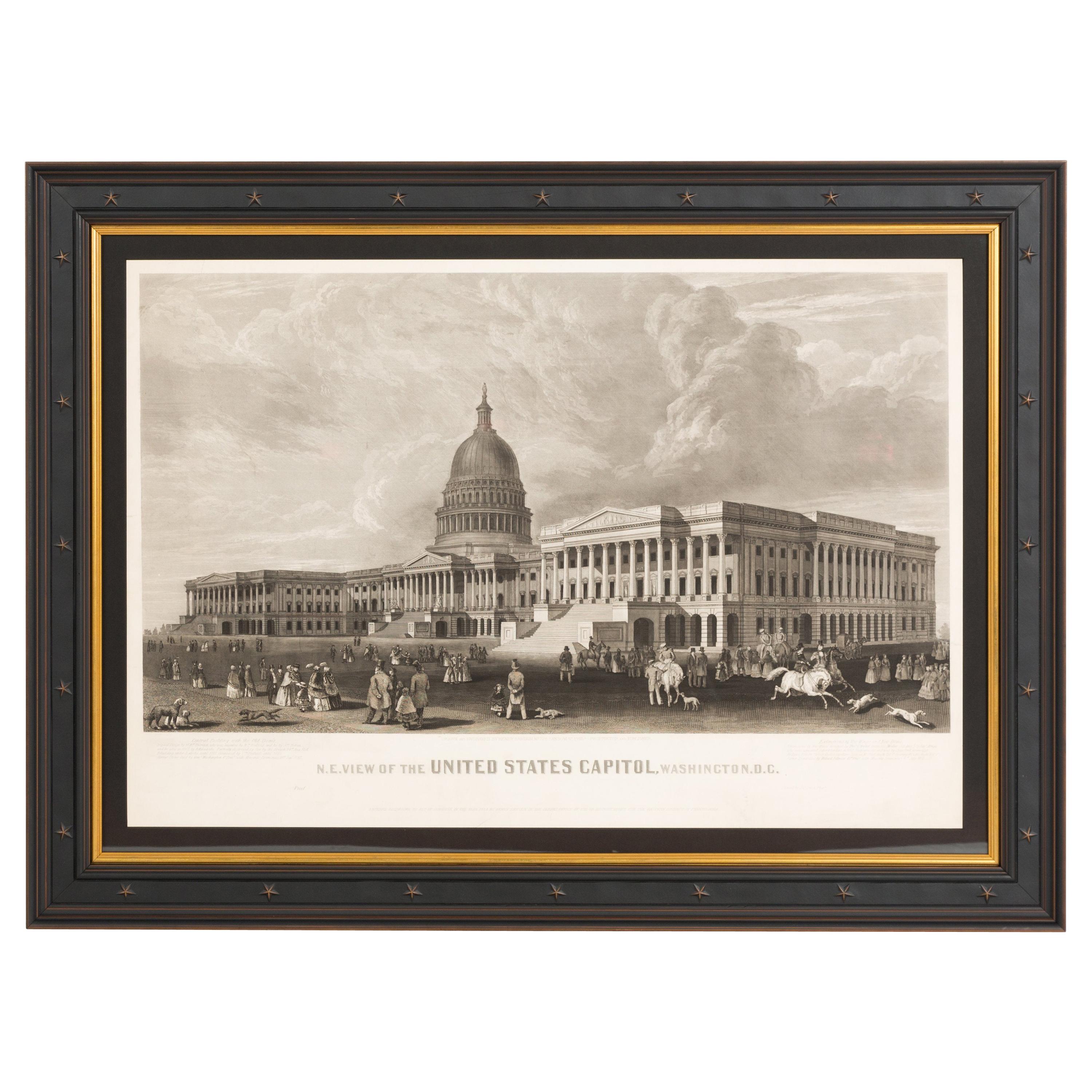
Tout afficherN.E. Vue du Capitole des États-Unis, Washington, DC Impression originale d'un document ancien 1858
Cette gravure montre une vue du bâtiment du Capitole des États-Unis, à Washington, D.C.. La gravure représente le bâtiment néoclassique depuis l'orientation nord-est, avec une scène ...
Catégorie
Antiquités, années 1850, Américain, Estampes
Matériaux
Papier

Carte picturale « The 50 United States of America » de Lorin Thompson, 1960
Cette carte colorée des États-Unis a été dessinée par Lorin Thompson et publiée par la General Foods Corporation en 1960. La carte a été publiée sous forme de brochure promotionnelle...
Catégorie
Vintage, années 1960, Mid-Century Modern, Estampes
Matériaux
Papier
1 750 $US Prix de vente
22 % de remise
"Les Britanniques remettent leurs armes au Gén. Washington... d'après Renault, 1819
Une gravure intitulée "Les Britanniques rendant leurs armes au Gén. Washington après leur défaite à Yorktown en Virginie en octobre 1781". La dédicace se poursuit dans la marge infér...
Catégorie
Antiquités, années 1810, Américain, Fédéral, Estampes
Matériaux
Papier

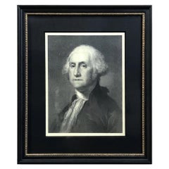
Lithographie « G. Washington » d'après Gilbert Stuart
Par Gilbert Stuart
Ce document présente un beau portrait lithographié de George Washington. Cette lithographie est basée sur une peinture de Gilbert Stuart, le célèbre portrait en buste "Athanaeum" de ...
Catégorie
Antiquités, XIXe siècle, Américain, Fédéral, Estampes
Matériaux
Papier
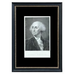
"Georgius Washington" Gravure de Giuseppe Longhi, 1817
Voici un beau portrait gravé de George Washington par l'artiste italien Giuseppe Longhi. Intitulée "Georgius Washington", cette gravure a été publiée à Padua, en Italie, en 1817. La ...
Catégorie
Antiquités, années 1810, italien, Fédéral, Estampes
Matériaux
Papier
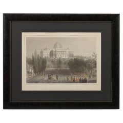
Impression « View of the Capitol at Washington », d'après William Henry Bartlett
Voici une charmante gravure coloriée à la main de la "Vue du Capitole à Washington". La gravure est d'après la gravure du même titre de William Henry Bartlett, publiée pour la premiè...
Catégorie
Antiquités, Fin du XIXe siècle, Américain, Victorien, Estampes
Matériaux
Papier
Suggestions
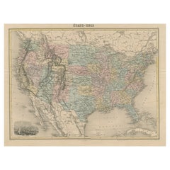
Carte ancienne des États-Unis avec vignette de Washington
Carte ancienne intitulée "États-Unis". Une carte des États-Unis de la fin du XIXe siècle très attrayante et détaillée, avec une belle vignette décorative de Washington. Le vaste rése...
Catégorie
Antiquités, Fin du XIXe siècle, Cartes
Matériaux
Papier
444 $US Prix de vente
20 % de remise
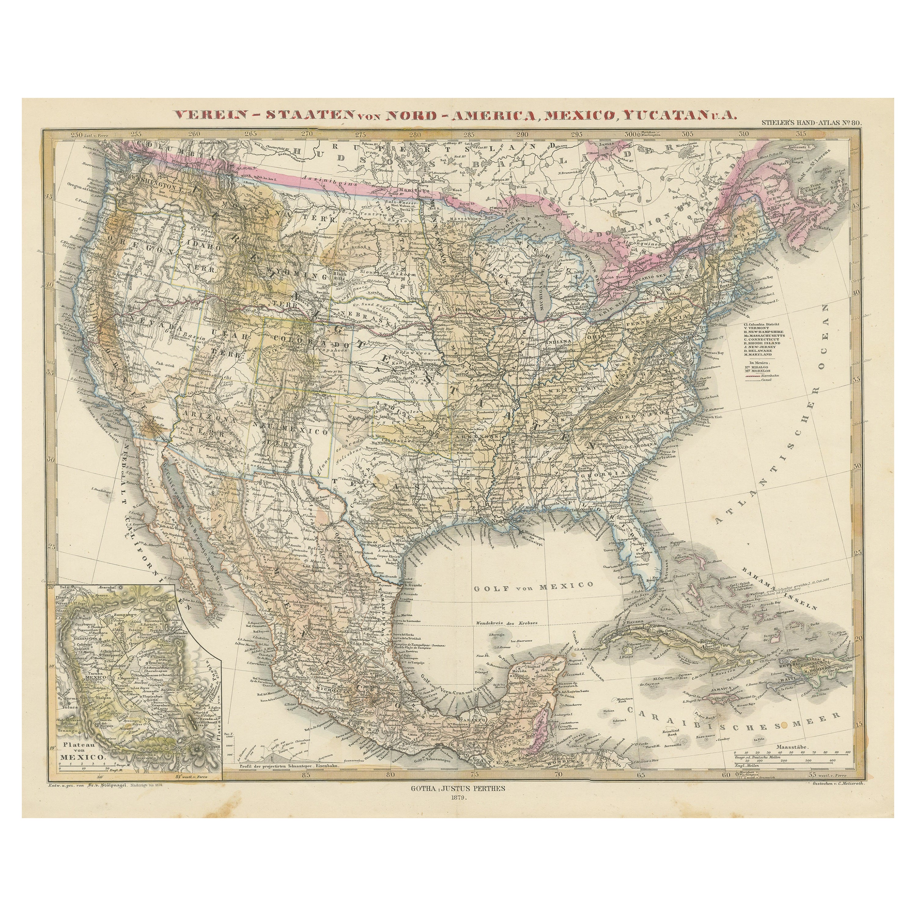
Carte ancienne des États-Unis avec encart de la région de Mexico City
Carte ancienne intitulée "Verein-Staaten von Nord-America, Mexico, Yucatan u.a.". Carte très détaillée des États-Unis d'Amérique montrant les Caraïbes. Avec un encart de la carte des...
Catégorie
Antiquités, Milieu du XIXe siècle, Cartes
Matériaux
Papier

796 $US Prix de vente
20 % de remise
Petite carte des États-Unis
Carte ancienne intitulée "Amérique septe. Physique". Petite carte des Etats-Unis. lithographiée par les frères C.Callewaert à Bruxelles vers 1870.
Catégorie
Antiquités, Milieu du XIXe siècle, Cartes
Matériaux
Papier

69 $US Prix de vente
20 % de remise
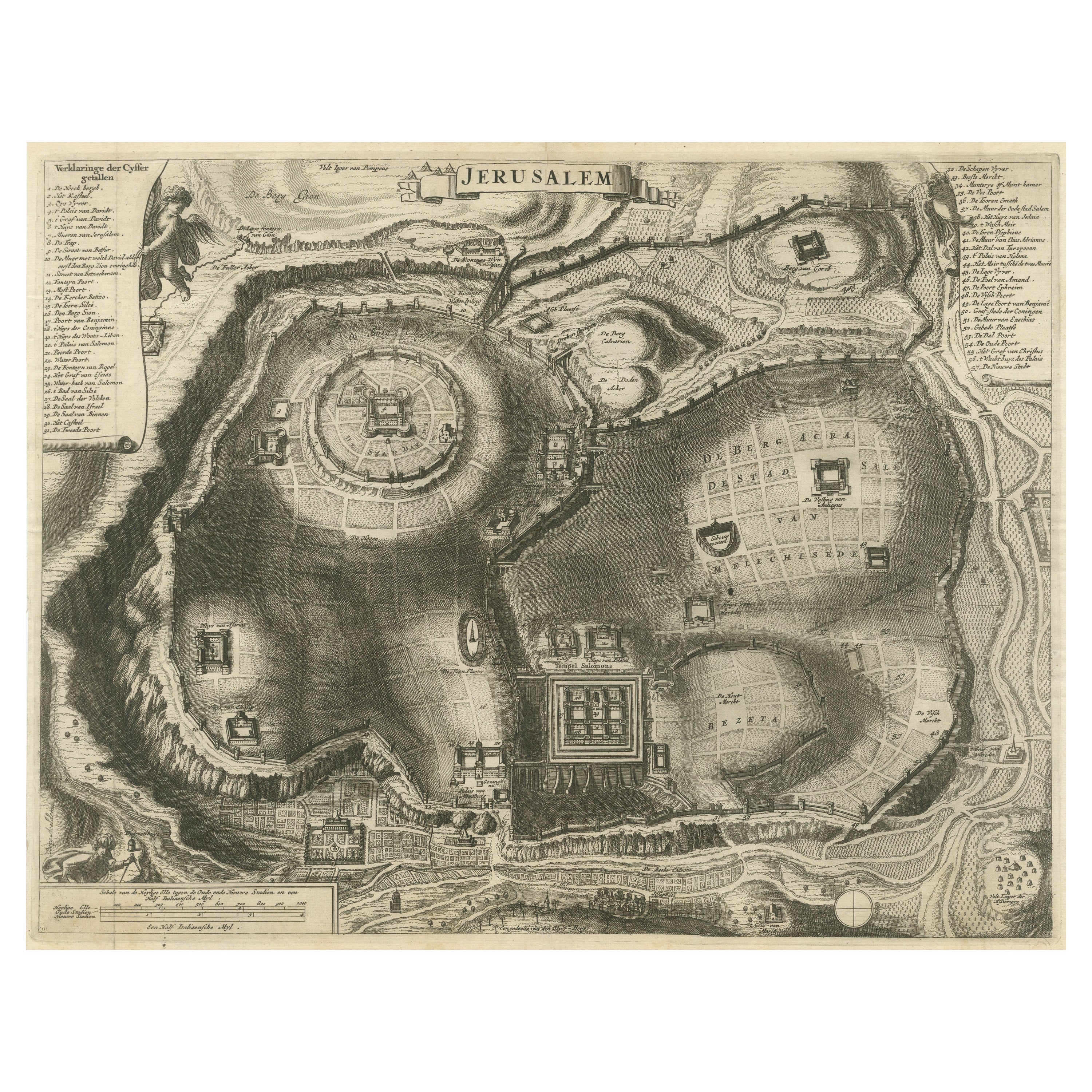
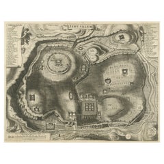
Plan antique de la ville de Jérusalem
Carte ancienne intitulée "Jérusalem". Plan de l'ancienne ville de Jérusalem. Avec un grand nombre de clés et d'échelles. Source inconnue, à déterminer.
Cornelis de Bruijn (également...
Catégorie
Antiquités, Fin du XVIIe siècle, Estampes
Matériaux
Papier
500 $US Prix de vente
20 % de remise
Carte ancienne avec coloration la main des tats-Unis et des Carabes
Carte ancienne intitulée "Verein-Staaten von Nord-America, Mexico, Yucatan u.a.". Carte très détaillée des États-Unis d'Amérique montrant les Caraïbes. Avec un encart de la carte des...
Catégorie
Antiquités, Fin du XIXe siècle, Cartes
Matériaux
Papier

518 $US Prix de vente
20 % de remise
Carte ancienne de l'est des États-Unis avec une carte du Texas encastrée
Carte ancienne intitulée "Verein-Staaten von Nord-America mit Ausnahme Florida's und der Westlichen Territorien". Cette carte s'étend jusqu'à la Louisiane à l'ouest et ne comprend qu...
Catégorie
Antiquités, Milieu du XIXe siècle, Cartes
Matériaux
Papier

500 $US Prix de vente
20 % de remise