Articles similaires à 1866 Ensign & Bridgman's Rail Road Map of the United States (Carte des chemins de fer des États-Unis)


Chargement de la vidéo
Vous voulez plus d'images ou de vidéos ?
Demander au vendeur plus d'images ou de vidéos
1 sur 10
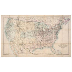
1866 Ensign & Bridgman's Rail Road Map of the United States (Carte des chemins de fer des États-Unis)
7 349 €
À propos de cet article
Presented is an 1866 issue of “Ensign & Bridgeman’s Rail Road Map of the United States, showing Depots & Stations.” First published in 1856, this is the third edition, following another issued in 1859. It is an expansive and impressive 19th century map depicting the eastern half of the United States, just after the end of the Civil War. Starting on the eastern coast, the map extends to the western borders of Minnesota, Iowa, Missouri, Arkansas, and Louisiana. As alluded to in its title, the map highlights existing railroads and railroad depots, as well as proposed lines. State boundaries, county boundaries, cities, and major towns are all labeled, along with some rivers and larger lakes. At the bottom of the map is an inset map “Plan of the New England States.” A decorative title block includes a railroad racing a steam boat, topped with a large spread wing eagle. The whole is enclosed within a wide ornamental border.
The map captures the burgeoning American railway infrastructure and documents the industrial ambition of this era. In the mid-1800s, railroads were transforming the landscape of North America, revolutionizing transportation, industry, and shifting populations seemingly overnight. This map reflects this transformation by illustrating the extensive railway system, including key routes west and the criss-crossing routes one can take to travel between cities and new rail hubs.
Many names of railroads appear along the cross-hatched lines, while others are numbered to a key list of lines at the bottom right. A small notice states that the publishers were going to print small editions at a time so that reliable railroad information could be added or updated. They continue on to state that “They will feel under obligations to Contractors, Superintendents, & others, who will forward to their address reliable information respecting Proposed or Completed railroads.” The inset map focuses on the railways and depots throughout New England, where early American rail travel first flourished.
CONDITION:
Engraved map. Hand coloring to outlines. Fold lines, as originally issued. Toning along fold lines. Trimmed close to margins.
Map is archivally framed with acid-free mats, UV glass, and a custom-built wooden frame. Framed Dimensions: 45 3/4" H x 48 1/4" W x 1 1/2" D.
- Dimensions:Hauteur : 116,21 cm (45,75 po)Largeur : 122,56 cm (48,25 po)Profondeur : 3,81 cm (1,5 po)
- Style:Victorien tardif (De la période)
- Matériaux et techniques:
- Lieu d'origine:
- Période:
- Date de fabrication:1866
- État:Usure conforme à l'âge et à l'utilisation. Framed to the highest archival standards by Art Source International Framing in Boulder, Colorado in December of 2023.
- Adresse du vendeur:Colorado Springs, CO
- Numéro de référence:Vendeur : M3181stDibs : LU909737659882
À propos du vendeur
4,9
Vendeur professionnel agréé
Chaque vendeur répond à des normes strictes en matière d'authenticité et de fiabilité
Établi en 2010
Vendeur 1stDibs depuis 2011
464 ventes sur 1stDibs
- ExpéditionRecherche du devis...Expédition depuis : Colorado Springs, CO
- Politique des retours
Certaines parties de cette page ont été traduites automatiquement. 1stDibs ne garantit pas l'exactitude des traductions. L'anglais est la langue par défaut de ce site web.
Garantie d'authenticité
Bien qu'il soit peu probable que la situation se présente, dans le cas où vous rencontreriez un problème d'authenticité d'un article, contactez-nous dans un délai d'un an pour obtenir un remboursement intégral. DétailsGarantie de remboursement
Si votre article n'est pas conforme à la description, est endommagé pendant le transport ou ne vous est pas livré, contactez-nous sous 7 jours pour obtenir un remboursement intégral. DétailsAnnulation sous 24 heures
Vous disposez d'un délai de 24 heures pour annuler votre achat sans motif.Des vendeurs professionnels agréés
Nos vendeurs de renommée mondiale doivent respecter des normes strictes en matière de service et de qualité, afin de préserver l'intégrité de nos fiches produit.Garantie d'alignement des prix
Si vous constatez qu'un autre vendeur a mis en vente le même article à un prix inférieur sur un autre site, nous nous alignerons sur ce prix.Livraison en toute confiance à l'international
Notre réseau de transporteurs de premier ordre propose des options d'expédition spécialisées dans le monde entier, y compris des livraisons personnalisées.Plus d'articles de ce vendeur
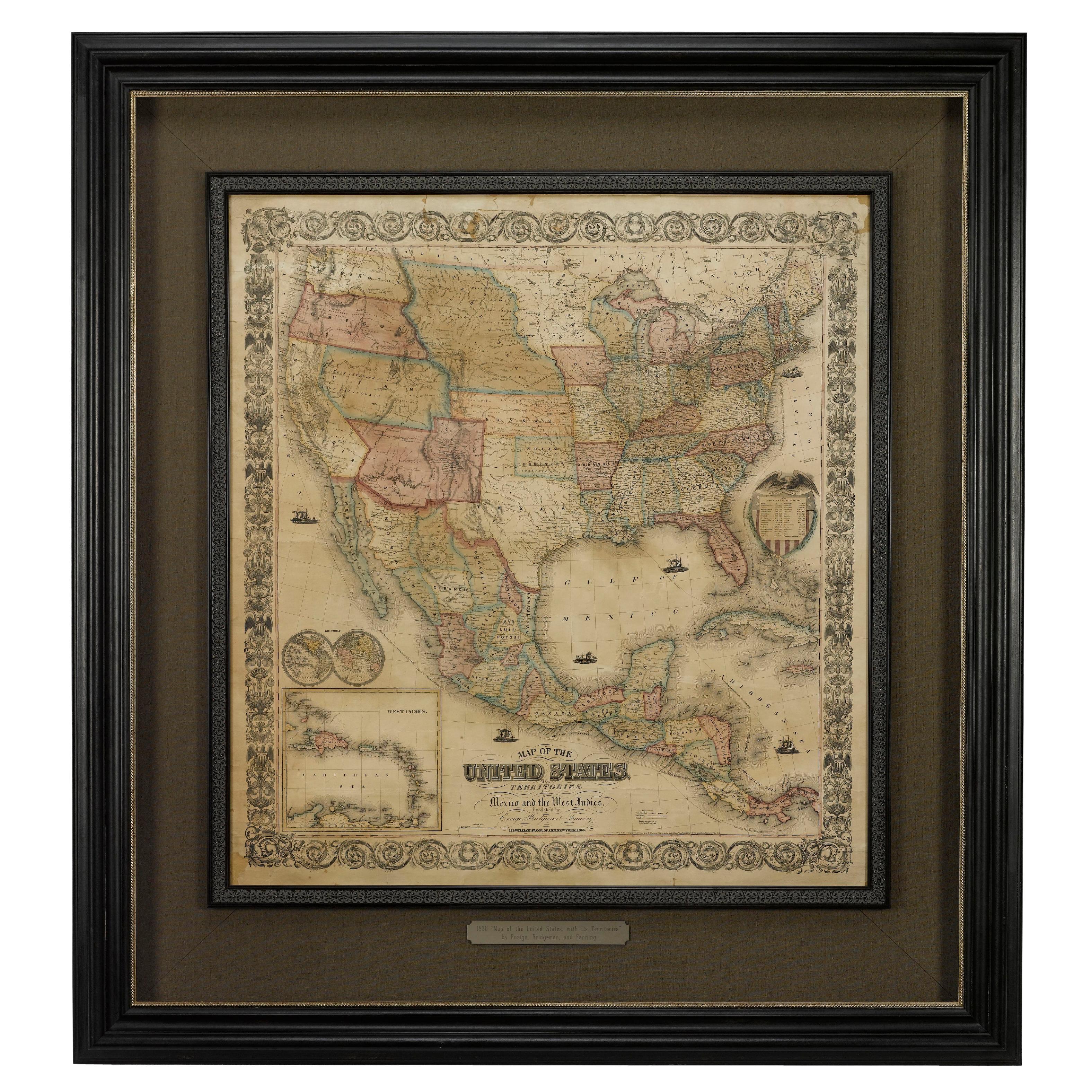
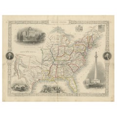
Tout afficher1856 "Map of the United States" par Ensign, Bridgeman et Fanning
Voici une rare carte murale des États-Unis et du Mexique publiée par Ensign, Bridgman et Fanning en 1856. Comme le titre l'indique, la carte couvre tous les États-Unis, ainsi que le ...
Catégorie
Antiquités, années 1850, Américain, Victorien, Cartes
Matériaux
Papier

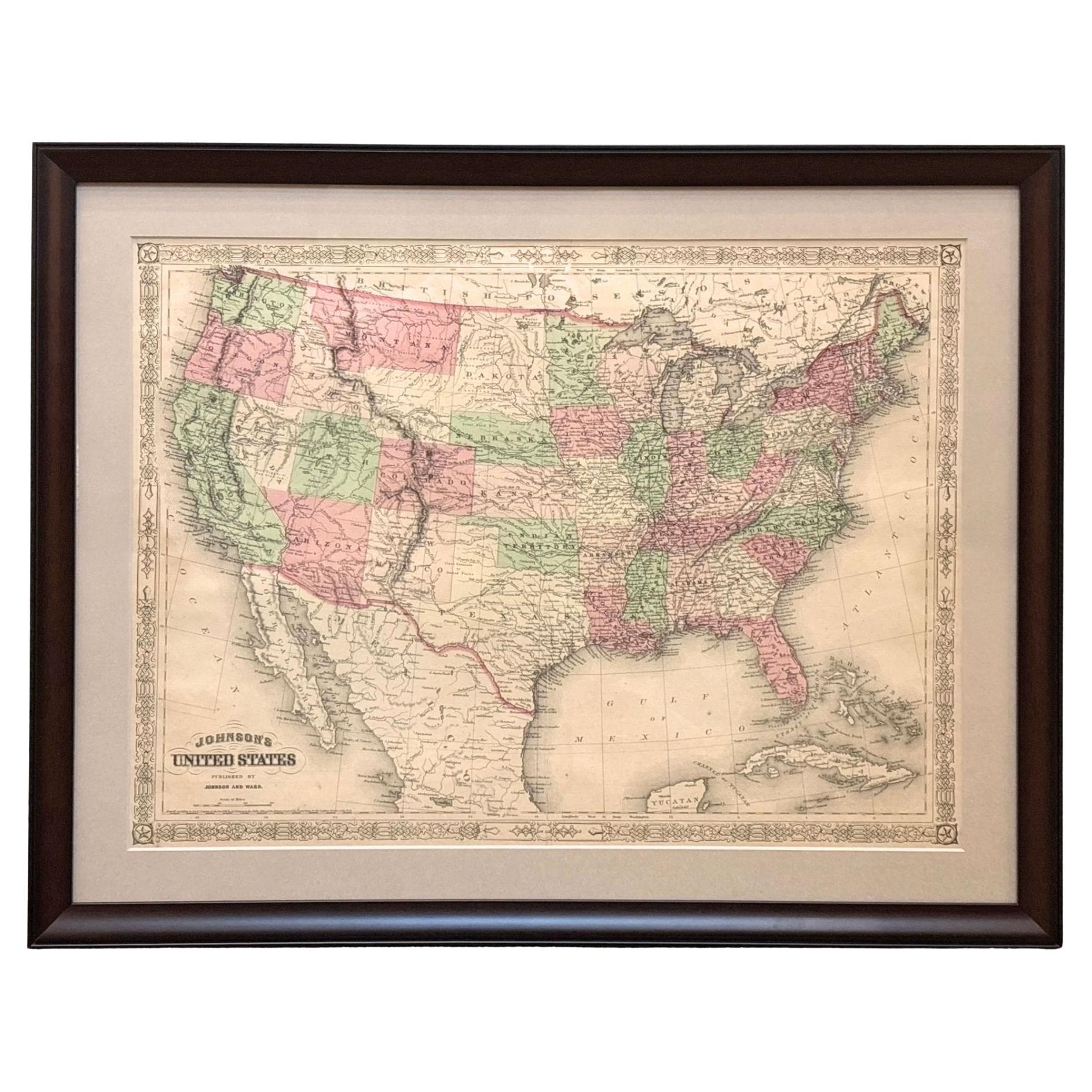
1866 Carte des États-Unis de Johnson, publiée par Johnson et Ward
Voici une carte détaillée des États-Unis réalisée par A. J. Johnson. Couvrant l'ensemble du territoire continental des États-Unis, ainsi que les parties adjacentes du Canada et du Me...
Catégorie
Antiquités, années 1860, Américain, Victorien, Cartes
Matériaux
Papier

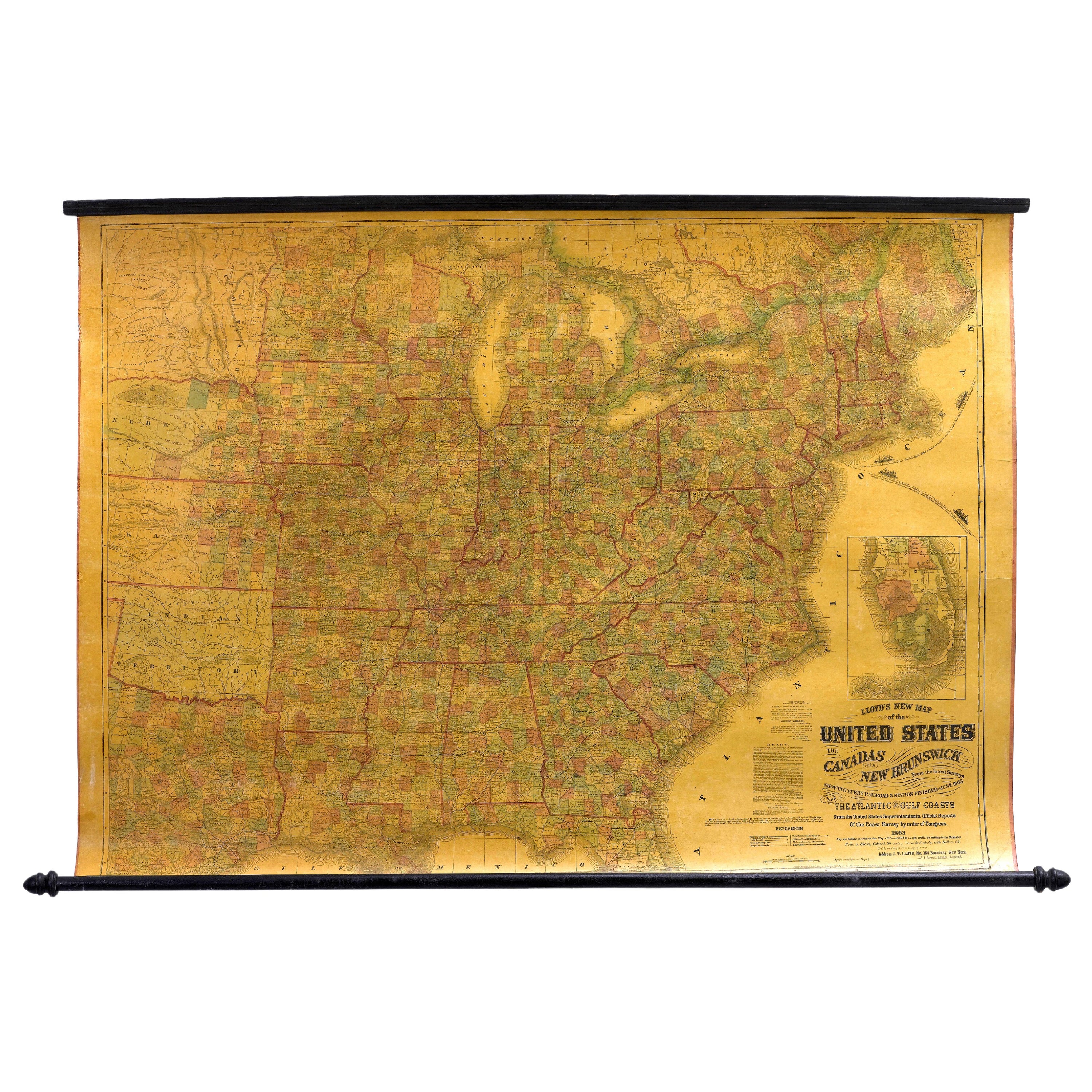
1863 "Lloyd's New Map of the United States, the Canadas, and New Brunswick" (Nouvelle carte de Lloyd des États-Unis, des Canadas et du Nouveau-Brunswick)
Il s'agit de la "Nouvelle carte de Lloyds des États-Unis, du Canada et du Nouveau-Brunswick, d'après les derniers levés, montrant toutes les voies ferrées et les gares terminées en j...
Catégorie
Antiquités, années 1860, Américain, Cartes
Matériaux
Lin, Bois, Papier

« Map of the United States of America..." de 1859 par J. H. Colton
Par J.H. Colton
La carte présentée est une "Carte des États-Unis d'Amérique, des provinces britanniques, du Mexique, des Antilles et de l'Amérique centrale avec une partie de la Nouvelle-Grenade et ...
Catégorie
Antiquités, années 1850, Américain, Cartes
Matériaux
Papier

Carte d'Amérique du Nord de 1864, carte ancienne colorée à la main, par Adolphe Hippolyte Dufour
La carte proposée est une carte de l'Amérique du Nord intitulée Amerique du Nord, datant de 1864. Cette carte murale rare, publiée séparément, a été réalisée par Adolphe Hippolyte Du...
Catégorie
Antiquités, années 1860, Français, Cartes
Matériaux
Papier

Carte murale ancienne « The United States from the Latest Authorities », 1835
Il s'agit d'une carte de 1835 de "The United States from the Latest Authorities" par Ezra Strong. Carte murale gravée et coloriée à la main de la moitié est des Etats-Unis. Cette car...
Catégorie
Antiquités, années 1830, Américain, Cartes
Matériaux
Papier

Suggestions
Carte ancienne des chemins de fer des États-Unis par Rand, McNally & Co, 1900
Carte ancienne intitulée "Rand, McNally & Co's New Official Railroad map of the United States with portions of The Dominion of Canada, The Republic of Mexico and the West Indies". Gr...
Catégorie
20ième siècle, Cartes
Matériaux
Lin, Papier

1 875 € Prix de vente
25 % de remise
Livraison gratuite
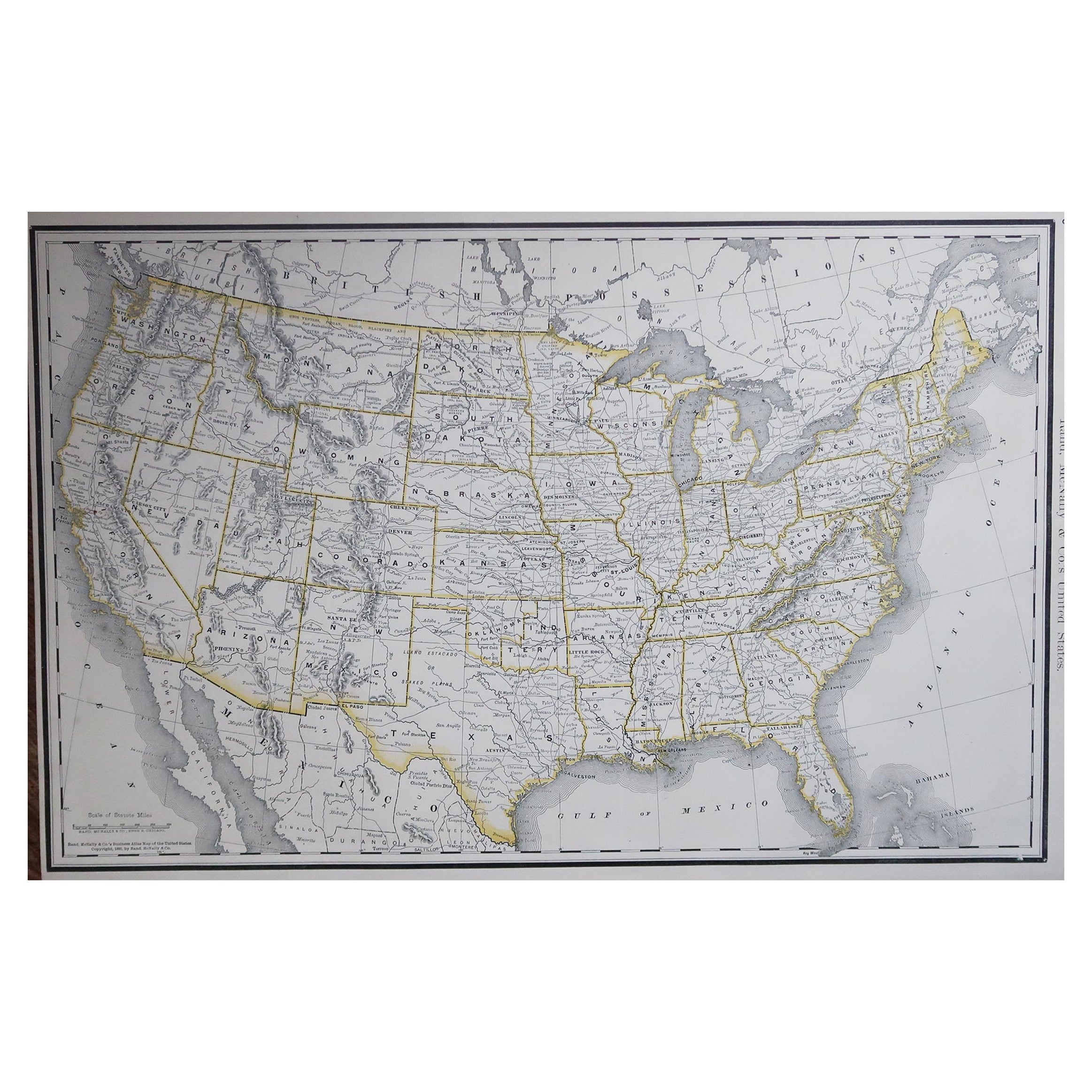
Grande carte ancienne originale des États-Unis d'Amérique. 1891
Par Rand McNally & Co.
Fabuleuse carte des États-Unis
Couleur originale
Par Rand, McNally & Co.
Daté de 1891
Non encadré
Livraison gratuite.
Catégorie
Antiquités, années 1890, Américain, Cartes
Matériaux
Papier

1876 Carte des Etats-Unis : Détails des chemins de fer et des territoires non colonisés
Carte ferroviaire réduite des États-Unis de Stanford, 1876
Cette carte originale de 1876, intitulée "Stanford's Smaller Railway Map of the United States Distinguishing the Unsettled...
Catégorie
Antiquités, années 1870, Cartes
Matériaux
Papier
Carte ancienne de 1844 J Calvin Smith JH Colton, Midwest United States Survey, 27 po.
Par J.H. Colton
Carte ancienne en noir et blanc encadrée représentant sept états du Midwest américain. Guide de l'Ohio, du Michigan, de l'Indiana, de l'Illinois, du Missouri, du Wisconsin et de l'Io...
Catégorie
Antiquités, années 1840, Cartes
Matériaux
Papier

812 € Prix de vente
20 % de remise
Carte ornée des années 1850 des États-Unis : présentant des monuments et des tourelles emblématiques
Carte ornée des États-Unis des années 1850 : Avec des points de repère iconiques et des portraits historiques
Cette carte décorative des États-Unis du XIXe siècle, créée par J. Ra...
Catégorie
Antiquités, années 1850, Cartes
Matériaux
Papier
Carte ancienne originale des États-Unis, Grattan et Gilbert, 1843
Grande carte des États-Unis
Dessiné et gravé par Archer
Publié par Grattan et Gilbert. 1843
Couleur originale
Non encadré.
Catégorie
Antiquités, années 1840, Anglais, Cartes
Matériaux
Papier
