Items Similar to Asmat Art, Woodcarvings of Southwest New Guinea
Want more images or videos?
Request additional images or videos from the seller
1 of 7
Asmat Art, Woodcarvings of Southwest New Guinea
$155
£117.67
€134.59
CA$216.56
A$240.86
CHF 125.77
MX$2,931
NOK 1,606.26
SEK 1,506.39
DKK 1,004.52
Shipping
Retrieving quote...The 1stDibs Promise:
Authenticity Guarantee,
Money-Back Guarantee,
24-Hour Cancellation
About the Item
Asmat Art, Woodcarvings of Southwest New Guinea, edited by Dirk Smidt. Hardcover book with dustjacket. Published in 1993 by George Braziller of New York. Illustrated, 160 pages.
About the Seller
4.9
Platinum Seller
Premium sellers with a 4.7+ rating and 24-hour response times
Established in 2015
1stDibs seller since 2021
196 sales on 1stDibs
Typical response time: <1 hour
- ShippingRetrieving quote...Shipping from: Bradenton, FL
- Return Policy
Authenticity Guarantee
In the unlikely event there’s an issue with an item’s authenticity, contact us within 1 year for a full refund. DetailsMoney-Back Guarantee
If your item is not as described, is damaged in transit, or does not arrive, contact us within 7 days for a full refund. Details24-Hour Cancellation
You have a 24-hour grace period in which to reconsider your purchase, with no questions asked.Vetted Professional Sellers
Our world-class sellers must adhere to strict standards for service and quality, maintaining the integrity of our listings.Price-Match Guarantee
If you find that a seller listed the same item for a lower price elsewhere, we’ll match it.Trusted Global Delivery
Our best-in-class carrier network provides specialized shipping options worldwide, including custom delivery.More From This Seller
View AllArt and Craft in Africa by Laure Meyer
Located in Bradenton, FL
Art and Craft in Africa, Everyday Life, Ritual, Court Art by Laure Meyer. Softcover book, published in 1995. Over 180 illustrations in color, printed in Italy, 207 pages.
Category
1990s Italian Books
Materials
Paper

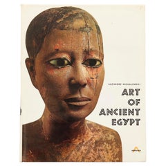
Art of Ancient Egypt by Kazimierz Michalowski
Located in Bradenton, FL
Art of Ancient Egypt by Kazimierz Michalowski. Hardcover book with dustjacket. Published by Harry N. Abrams Inc., of New York. Printed in France, bound in the Netherlands. 904 illust...
Category
Late 20th Century French Egyptian Books
Materials
Paper
American Indian Painting & Sculpture
Located in Bradenton, FL
American Indian Painting & Sculpture by Patricia Janis Broder. Hardcover book with dustjacket. First edition published in 1981 by Abbeville Press of New York. Printed in Japan, illus...
Category
Vintage 1980s Japanese Native American Books
Materials
Paper

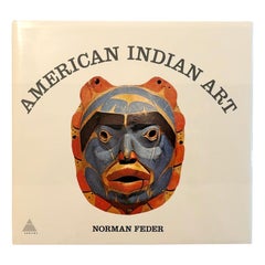
American Indian Art by Norman Feder
Located in Bradenton, FL
American Indian Art by Norman Feder coffee table book. Hardcover with dustjacket, published in 1965 by Harry N. Abrams of New York. Printed and bound in Japan. 302 illustrations, inc...
Category
Vintage 1960s Books
Materials
Paper
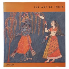
The Art of India
Located in Bradenton, FL
The Art of India. Hardcover book with dustjacket. First edition, published in 1997 by Laurel Glen Publishing. Illustrated, 97 pages.
Category
Late 20th Century Books
Materials
Paper
$125
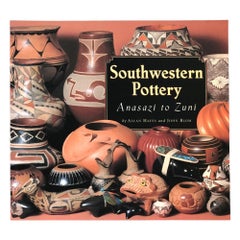
Southwestern Pottery - Anasazi to Zuni
Located in Bradenton, FL
Southwestern Pottery - Anasazi to Zuni by Allan Hayes and John Blom. Softcover book, published in 1997 by Northland Publishing. Manufactured in Ho...
Category
1990s Books
Materials
Paper
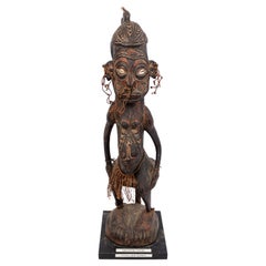
You May Also Like
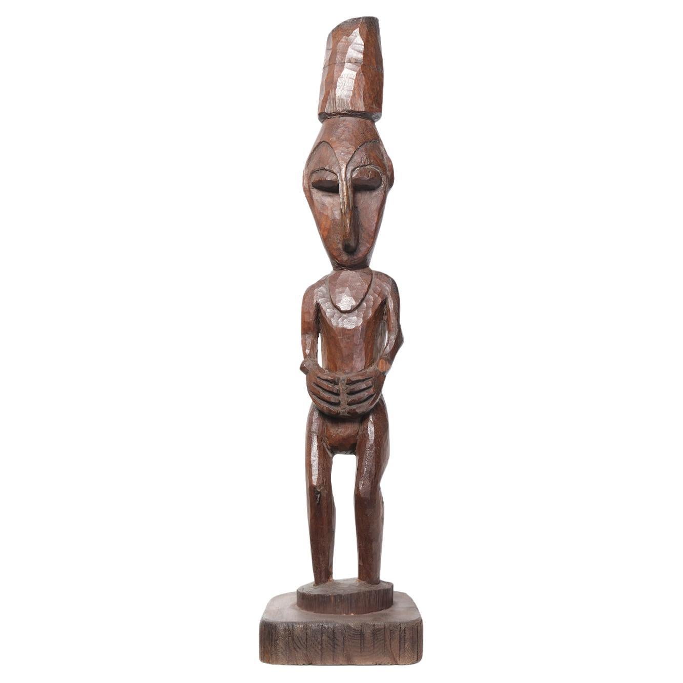
Papua New Guinea, Carved Sepik figure
Located in London, GB
Wood
H60 x W19 x D19 cm
Category
20th Century Abstract Sculptures
Materials
Wood

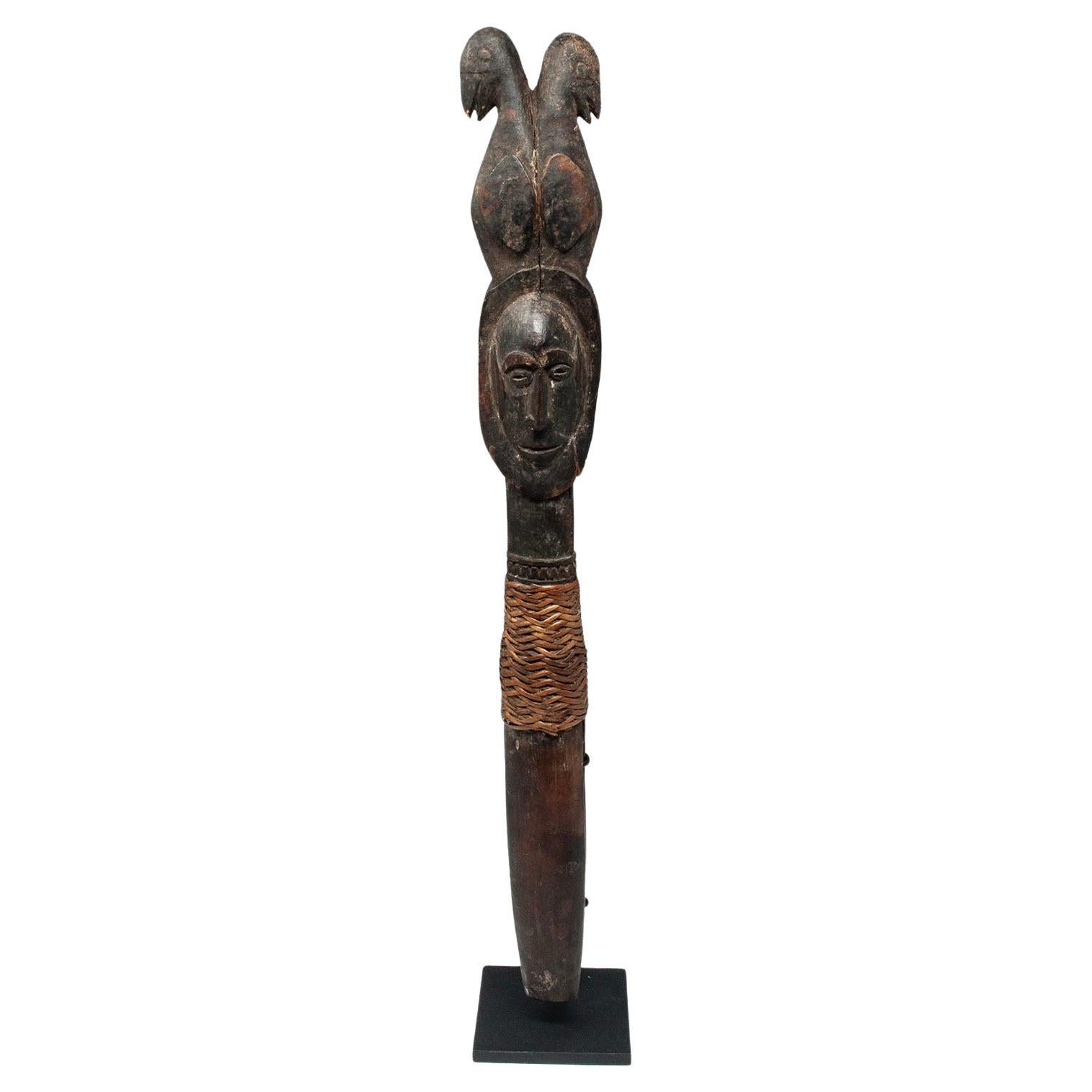
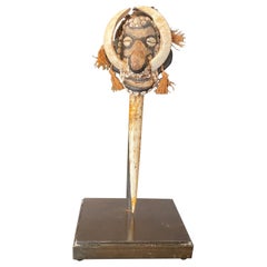
Early 20th Century Sago Peg, Abelam/Wosera People, Papua New Guinea
Located in Point Richmond, CA
Sago peg, tapak, Abelam/Wosera people, East Sepik Province, Papua New Guinea
Sago pegs are used to secure a screen mesh during the preparation of sago flour. This example depicts a ...
Category
Early 20th Century Papua New Guinean Tribal Abstract Sculptures
Materials
Shell
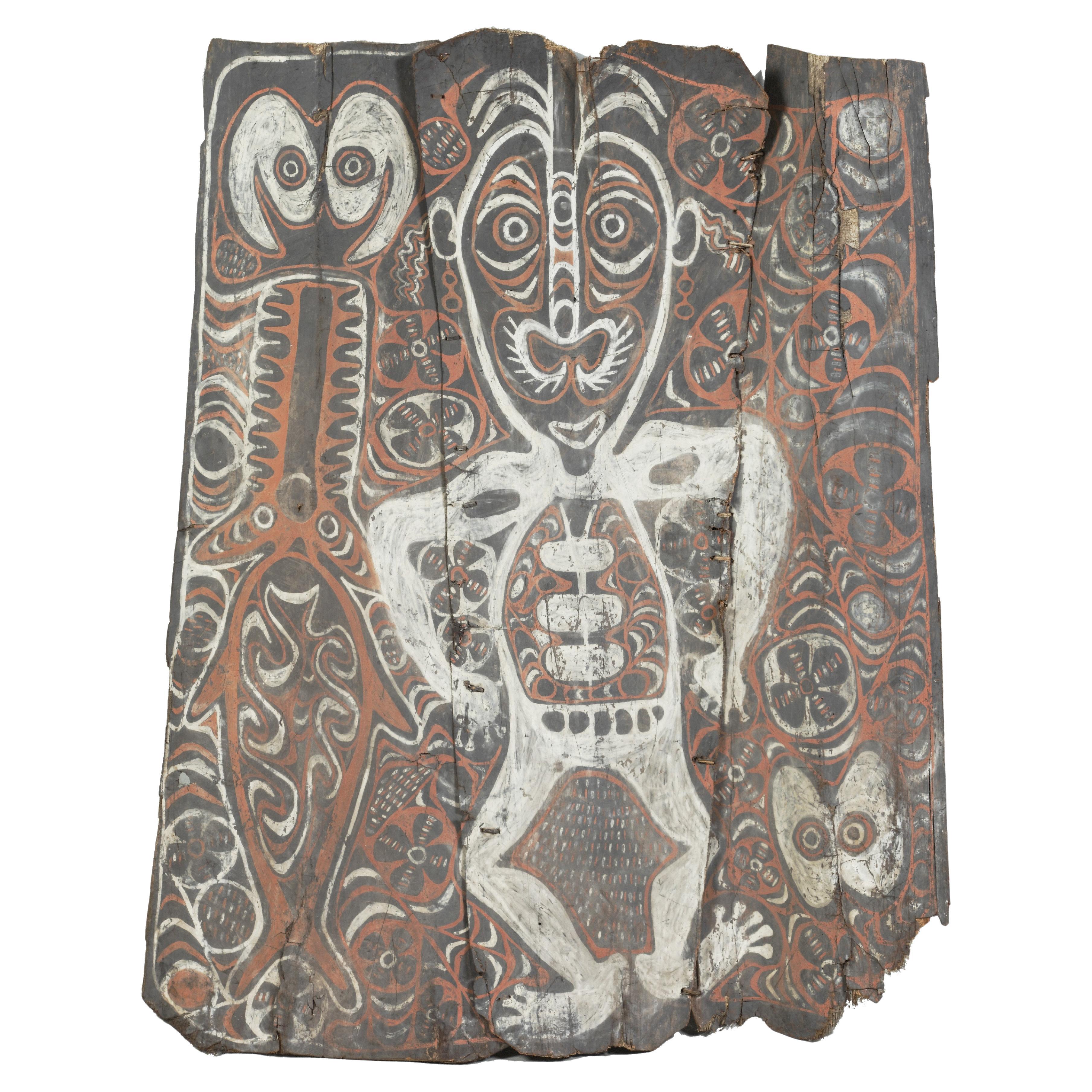
A Sepik 'panggal' sago spathe or tree bark painting of an ancestral figure
Located in Amsterdam, NL
East-Sepik Province, Keram River, early 20th century
The painting in non-binded pigment on sago spathe, bark of a sago palm, depicts an ancestral figure surrounded by a saw fish...
Category
Early 20th Century Papua New Guinean Tribal Art
Materials
Wood
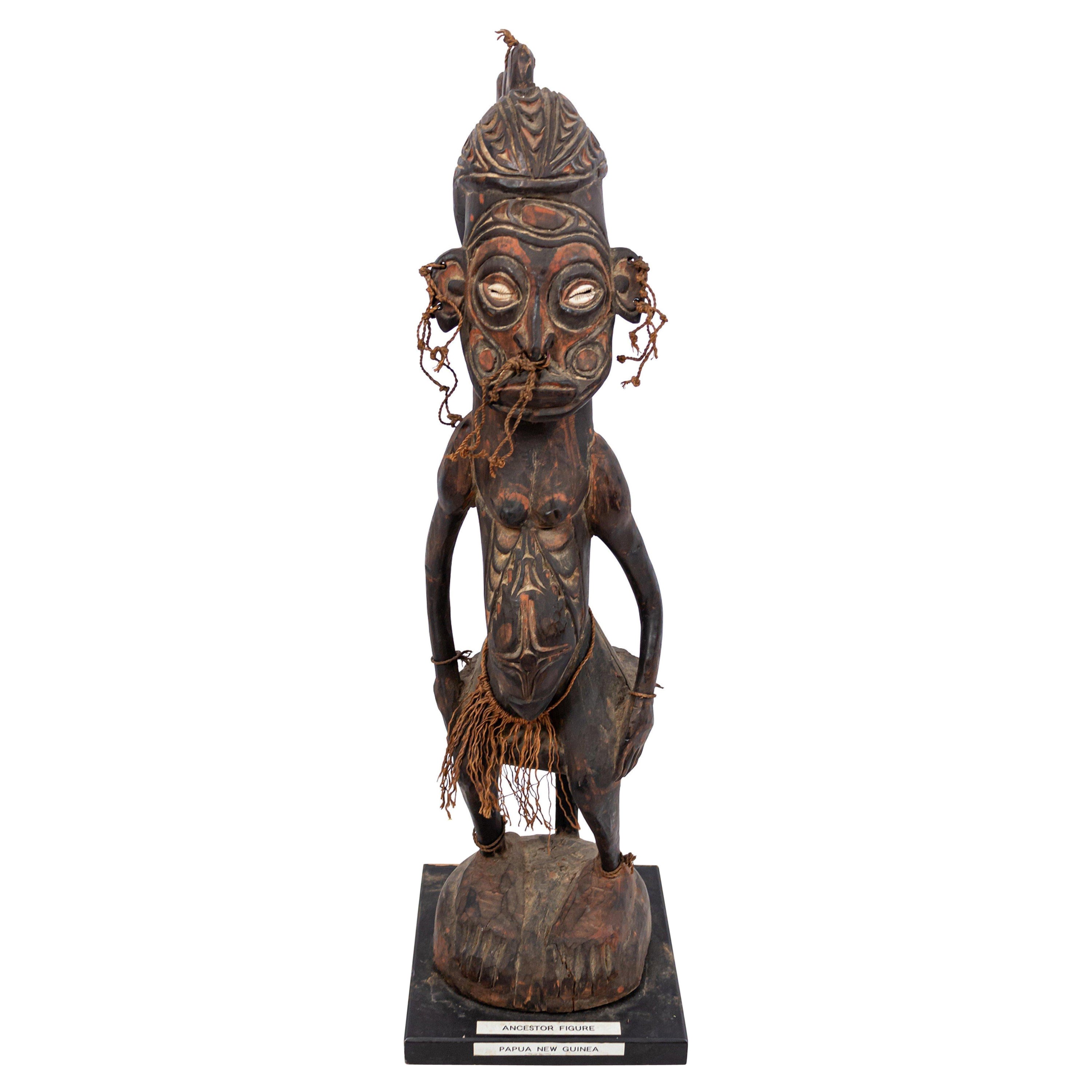
Papua New Guinean Polychromed Carved Figure
Located in Queens, NY
Papua New Guinean carved polychromed ancestral figure with fiber and shell detail
Category
20th Century Unknown Tribal Figurative Sculptures
Materials
Chrome
Sepik River People Papua New Guinea Oceanic Primitive Wood Totem Spirit Figure
Located in Studio City, CA
A fantastic hand-carved primitive wood totem sculpture/ figure from the Sepik River people (Ambunti and Wewak) of Papua New Guinea. This work, which features tusked ancestral spirit ...
Category
Mid-20th Century Papua New Guinean Folk Art Sculptures and Carvings
Materials
Wood, Paint
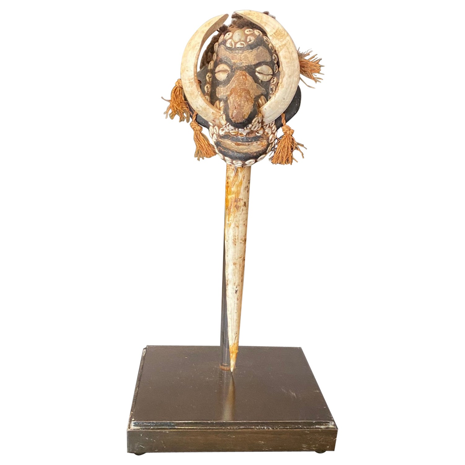
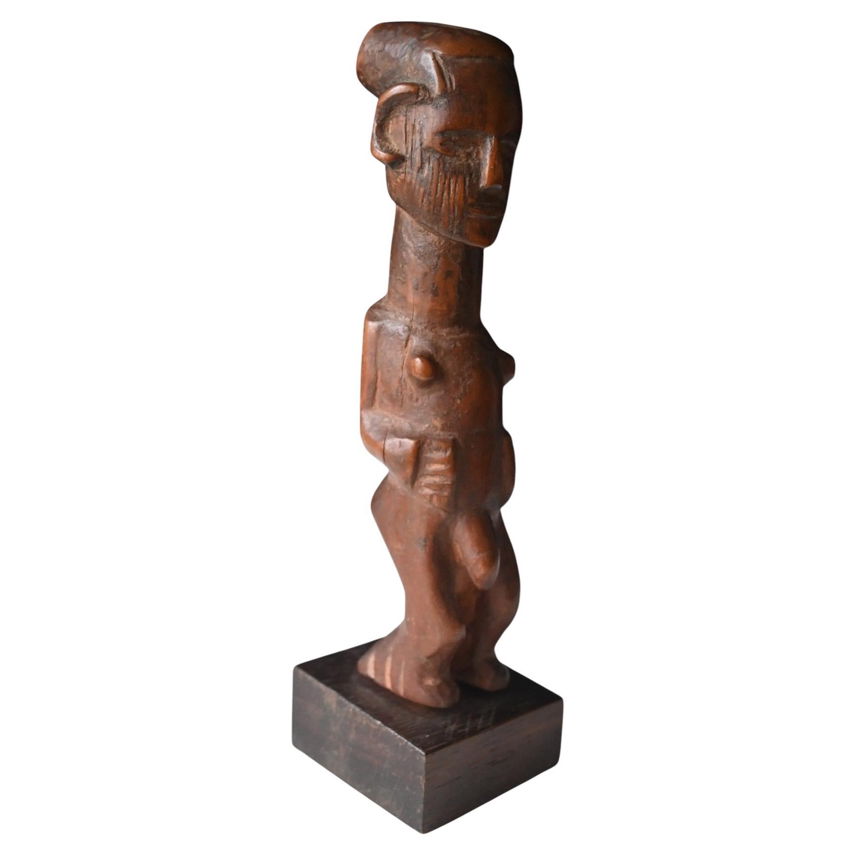
Genuine carved wooden statuefrom the Teke tribe, DR Congo, early 1900
Located in Bilzen, BE
A genuine carved wooden statue from the Teke (Bateke) tribe DR Congo
Early 1900
Rich tribal used aged patina
mounted on a wooden base
Total heigth 18.5 cm, heigth figure 16.3 cm, ba...
Category
Early 20th Century Tribal Tribal Art
Materials
Wood
More Ways To Browse
Southwest Furniture
Vintage Southwest Furniture
Asmat Art
Vintage Craddock Furniture
Vintage Italian Electric Guitars
Vintage Panty Hose
Windows At Tiffanys The Art Of Gene Moore
1st Edition Picasso Ceramics Book
16th Century Edition Of Thomas Aquinas Book
Antique French Cast Iron Book Press
Boulanger Art Deco Coffe Set
Brian Lanker
Celo 1
Chesty Puller
Claudette Johnson
Collection Claude Dray
Deanna Petherbridge
Decoration Tradition Et Renouveau