Items Similar to De Indische Archipel by C.W. Mieling, 1865-1876


Want more images or videos?
Request additional images or videos from the seller
1 of 6
De Indische Archipel by C.W. Mieling, 1865-1876
$63,180.19
$81,657.4122% Off
£46,873.63
£60,581.9622% Off
€53,000
€68,50022% Off
CA$86,496.83
CA$111,793.0822% Off
A$96,904.38
A$125,244.3422% Off
CHF 50,438.64
CHF 65,189.5622% Off
MX$1,180,109.84
MX$1,525,236.3122% Off
NOK 642,521.01
NOK 830,428.1022% Off
SEK 605,073.48
SEK 782,028.9422% Off
DKK 403,550.99
DKK 521,570.6222% Off
Shipping
Retrieving quote...The 1stDibs Promise:
Authenticity Guarantee,
Money-Back Guarantee,
24-Hour Cancellation
About the Item
'De Indische Archipel: Tafereelen uit de natuur en het volksleven in Indië' by C.W. Mieling. This is a very rare first edition (only 1 copy in Nederlandse Centrale Catalogus – NCC and only 1 copy in JAP, sold in 1974) of a sumptuous work originally published in 12 instalments (started in 1865 by C.W. Mieling and completed in 1876 by J.M. van ‘t Haaff, both in The Hague). It was in January 1862 that a Prospectus was issued by C. W. Mieling, The Hague, announcing the publication of what is the most spectacular of the plate works of Indonesia, De Indische Archipel, which commenced publication in The Hague in 1865. The work contains 24 large chromolithograph plates which are among the largest published on Indonesia. From both a topographical and artistic point of view the plates are of considerable interest as they present a comprehensive series of views in the archipelago, ranging through Java. Borneo, Sumatra and Minahasa, after drawings by virtually all the prominent mid-19th century artists of Indonesia:
Raden Saleh
A. Salm
E. Hardouin
C. Deeleman
J. S G. Gramberg
F C. Wilsen
Jhr. L. H. W. M. de Stuers
F. Lebret
Th. J. D. van Herwerden
This unique folio was part of the “Between Worlds” Exhibition on Raden Saleh and Juan Luna at the National Gallery of Singapore ~ 16 Nov 2017 ~ 11 Mar 2018. Between Worlds features the works of Indonesian artist Raden Saleh (c.1811–1880) and Filipino artist Juan Luna (1857–1899), two leading painters from Southeast Asia who achieved wide acclaim in Europe. This will be the first major survey to bring their works together, drawing from important collections around the world.
- Dimensions:Height: 28.94 in (73.5 cm)Width: 22.45 in (57 cm)Depth: 1.19 in (3 cm)
- Materials and Techniques:
- Period:
- Date of Manufacture:1865
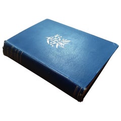
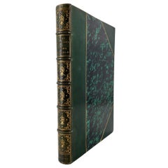
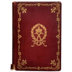
- Condition:With lithogr. title and 24 chromo-lithogr. views & plates (each accompanied by letterpress text-leaf). Large folio, contemp. green h.morocco, gilt panelled upper cover with central gilt brass coat-of-arms (dep. 2 Dutch lions). Minor toning and foxing.
- Seller Location:Langweer, NL
- Reference Number:1stDibs: LU3054321952972
About the Seller
5.0
Recognized Seller
These prestigious sellers are industry leaders and represent the highest echelon for item quality and design.
Platinum Seller
Premium sellers with a 4.7+ rating and 24-hour response times
Established in 2009
1stDibs seller since 2017
2,493 sales on 1stDibs
Typical response time: <1 hour
- ShippingRetrieving quote...Shipping from: Langweer, Netherlands
- Return Policy
Authenticity Guarantee
In the unlikely event there’s an issue with an item’s authenticity, contact us within 1 year for a full refund. DetailsMoney-Back Guarantee
If your item is not as described, is damaged in transit, or does not arrive, contact us within 7 days for a full refund. Details24-Hour Cancellation
You have a 24-hour grace period in which to reconsider your purchase, with no questions asked.Vetted Professional Sellers
Our world-class sellers must adhere to strict standards for service and quality, maintaining the integrity of our listings.Price-Match Guarantee
If you find that a seller listed the same item for a lower price elsewhere, we’ll match it.Trusted Global Delivery
Our best-in-class carrier network provides specialized shipping options worldwide, including custom delivery.More From This Seller
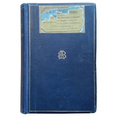
View AllThe Last Voyage, to India and Australia, in the Sunbeam by Annie Brassey, 1889
Located in Langweer, NL
'The Last Voyage, to India and Australia, in the Sunbeam' by the late Lady Brassey. Illustrated by R.T. Pritchett and from photographs. Published 1889. Hardboard cover in original bl...
Category
Antique Late 19th Century Books
Materials
Paper
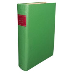
Large Set of Old Dutch Books about the Rise of the Dutch Republic, 1782
Located in Langweer, NL
Title: Vaderlandsche historie, vervattende de geschiedenissen der nu Vereenigde Nederlanden, inzonderheid die van Holland, van de vroegste tyden af [...].
21 vol., 8vo (1 sm. tear in map in vol. II; normal minor browning or spotting). - Reissue of the 2nd Tirion ed. (1770, 1st 1749-1759) of the account of the rise of the Dutch Republic with historical notes and references by the Dutch historian J. Wagenaar (1709-1773), until the year 1751. Engr. ill. by J. Folkema, P. Tanjé, J.C. Philips, J. Houbraken, S. Fokke, etc.: front. by J. Punt, 5 large folding maps (e.g. "Naaukeurige kaart van het Oude Nederland en eenige aangrenzende gewesten", "Oude kaart der nu Vereenigde Nederlanden", "Nieuwe kaart van het oostelijkste deel der weereld diendende tot aanwijzing van de scheepstogten der Nederlanderen naar Oostindië"), 1 city-plan of Leiden, 105 full-page portraits (e.g. of Erasmus, Philips of Marnix of St Aldegonde, Prince Maurice, Albert & Isabella, Kenau, Hugo De Groot, Piet Hein, Michiel de Ruyter...
Category
Antique Late 18th Century European Books
Materials
Paper
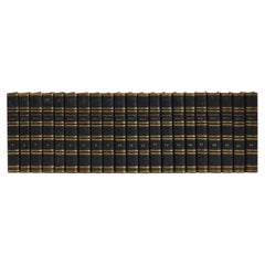
$1,382 Sale Price / set
20% Off
The King-Country; or, Explorations in New-Zealand by Kerry-Nicholls (1884)
Located in Langweer, NL
'The King-Country; or, Explorations in New-Zealand' by J.H. Kerry-Nicholls. Ibid., Sampson Low etc., 1884, XX,379,(1),36p., fold. col. lithogr. map, woodengr. plates, ills., modern c...
Category
Antique Late 19th Century Books
Materials
Paper
$190 Sale Price
20% Off
L'Amérique du Nord pittoresque by Quantin & Decaux, 1880
Located in Langweer, NL
L'Amérique du Nord pittoresque by Quantin & Decaux. A 19th century exploration of the landscape of the United States and Canada, with numerous full page black and white illustrations...
Category
Antique Late 19th Century Books
Materials
Paper
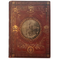
$572 Sale Price
20% Off
Narrative of the Expedition of an American Squadron by M.C. Perry, '1857'
Located in Langweer, NL
'Narrative of the expedition of an American squadron to the China Seas and Japan; performed in the years 1852, 1853, and 1854' by M.C. Perry. Complete narrative with tinted lithograp...
Category
Antique Mid-19th Century Books
Materials
Paper
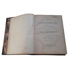
$3,576 Sale Price
20% Off
Missionary to the New Hebrides, an Autobiography by John G. Paton, '1889'
Located in Langweer, NL
'Missionary to the New Hebrides, an Autobiography' by John G. Paton. Edited by his brother. ibid., 1889, frontisp. portrait, map, orig. cl.
Category
Antique Late 19th Century Books
Materials
Paper
You May Also Like
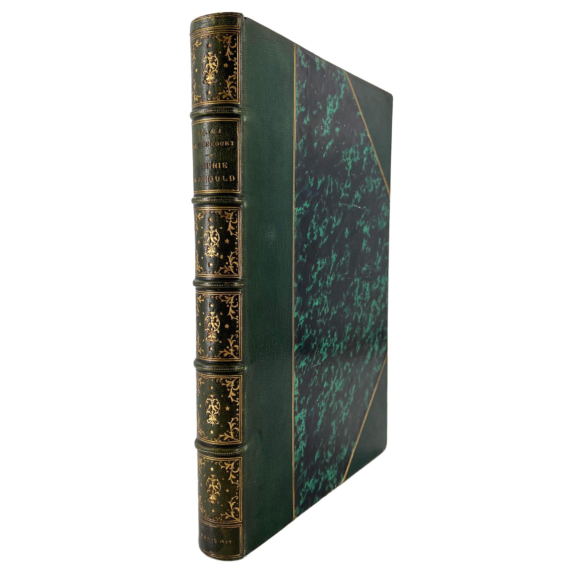
Sophie Arnould d'après sa correspondance... GONCOURT bros., deluxe, illustrated
Located in Middletown, NY
SIGNED, Second edition on LARGE PAPER
One of the first personal biographies (biographies intimes) written by the Goncourt brothers and composed in 1857. This special edition with el...
Category
Antique Late 19th Century French Books
Materials
Gold Leaf
Large Antique Encyclopaedia, Historica Britannica, Multilingual Book, Victorian
Located in Hele, Devon, GB
This is a large antique reference book, Monumenta Historica Britannica. Printed in English and multiple languages, a later bound encyclopaedia, dating to the Victorian period, published 1848.
Full title: Monumenta Historica Britannica or Materials for the History of Britain from the Earliest Period to the end of the Reign of King Henry VII - Volume I.
Superb collection of reference in English, Anglo-Saxon 'Old English' Latin and Welsh
Charming lithograph engravings illustrate throughout
Later professional binding in a quality green textile cover with gold tooled titling
Pages intact, text perfectly legible - some colouration present
Impressive proportion and weight at 6.52kg (14.3 lb)
This is an fascinating large antique reference book, published by command of Queen Victoria. Presented in multiple languages including modern English, with a selection of charming illustrations and antique records...
Category
Antique Mid-19th Century British Victorian Books
Materials
Paper
France Under Louis XIV 'Le Grand Siecle', Its Arts, Its Ideas, First Edition
Located in valatie, NY
France Under Louis XIV [Le Grand Siecle], Its Arts, Its Ideas by Mrs. Cashel Huey. Charles Scribner's Sons, New York, 1897. First Edition hardcover. 470 p...
Category
Antique Late 19th Century American Books
Materials
Paper
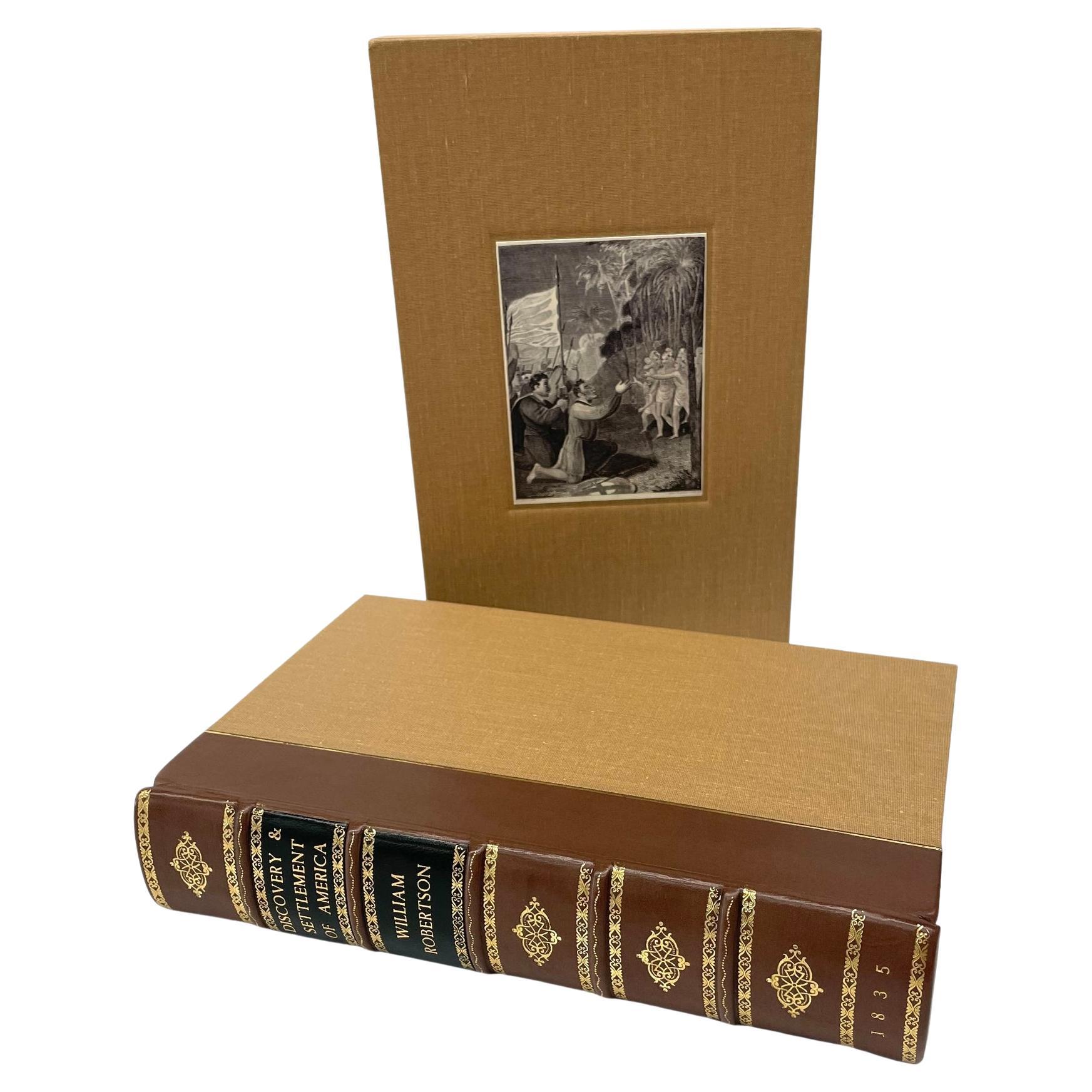
The History of the Discovery and Settlement of America by W. Robertson, 1835
By William Robertson
Located in Colorado Springs, CO
Robertson, William, Frost, John. The History of the Discovery and Settlement of America, With an Account of His Life and Writings, To which are added Questions for the Examination of...
Category
Antique 1830s American Early Victorian Books
Materials
Leather, Fabric, Paper

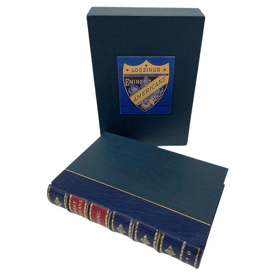
Eminent Americans by Benson J. Lossing, Illustrated, 1890
Located in Colorado Springs, CO
Lossing, Benson J. Eminent Americans: Comprising Brief Biographies of Leading Statesmen, Patriots, Orators and Others, Men and Women, Who Have Made American History. New York: John W...
Category
Antique 1890s American American Classical Books
Materials
Leather, Fabric, Paper

Regulations for Artillery Inventories, Turin 1848
Located in Torino, IT
Regulations for the inventories of artillery material - Part I.
Approved by General Villamarina, dedicated to Count Carlo Maffei di Boglio.
F.lli Catellazzo typography.
Turin, 184...
Category