Items Similar to Journal of a Cruise among the Islands of the Western Pacific '1853'

Want more images or videos?
Request additional images or videos from the seller
1 of 7
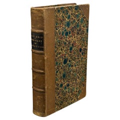
Journal of a Cruise among the Islands of the Western Pacific '1853'
$378.06
$472.5820% Off
£283.38
£354.2320% Off
€320
€40020% Off
CA$519.40
CA$649.2520% Off
A$579.86
A$724.8220% Off
CHF 303.84
CHF 379.8020% Off
MX$7,098.03
MX$8,872.5320% Off
NOK 3,858.73
NOK 4,823.4120% Off
SEK 3,638.29
SEK 4,547.8620% Off
DKK 2,435.96
DKK 3,044.9520% Off
Shipping
Retrieving quote...The 1stDibs Promise:
Authenticity Guarantee,
Money-Back Guarantee,
24-Hour Cancellation
About the Item
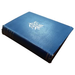
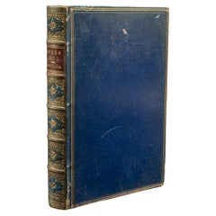
First edition 'Journal of a Cruise among the Islands of the Western Pacific' by John Elphinstone. 4 chromolithographed and 3 wood-engraved plates, folding engraved map at end (torn), illustrations, lacking errata slip and publisher's catalogue at end, frontispiece lightly water-stained, contemporary calf (partly loose), gilt. Published 1853.
- Dimensions:Height: 8.67 in (22 cm)Width: 5.91 in (15 cm)Depth: 1.58 in (4 cm)
- Materials and Techniques:
- Period:
- Date of Manufacture:1853
- Condition:Please read description for details.
- Seller Location:Langweer, NL
- Reference Number:Seller: BG-12599-31stDibs: LU3054321067542
About the Seller
5.0
Recognized Seller
These prestigious sellers are industry leaders and represent the highest echelon for item quality and design.
Platinum Seller
Premium sellers with a 4.7+ rating and 24-hour response times
Established in 2009
1stDibs seller since 2017
2,511 sales on 1stDibs
Typical response time: <1 hour
- ShippingRetrieving quote...Shipping from: Langweer, Netherlands
- Return Policy
Authenticity Guarantee
In the unlikely event there’s an issue with an item’s authenticity, contact us within 1 year for a full refund. DetailsMoney-Back Guarantee
If your item is not as described, is damaged in transit, or does not arrive, contact us within 7 days for a full refund. Details24-Hour Cancellation
You have a 24-hour grace period in which to reconsider your purchase, with no questions asked.Vetted Professional Sellers
Our world-class sellers must adhere to strict standards for service and quality, maintaining the integrity of our listings.Price-Match Guarantee
If you find that a seller listed the same item for a lower price elsewhere, we’ll match it.Trusted Global Delivery
Our best-in-class carrier network provides specialized shipping options worldwide, including custom delivery.More From This Seller
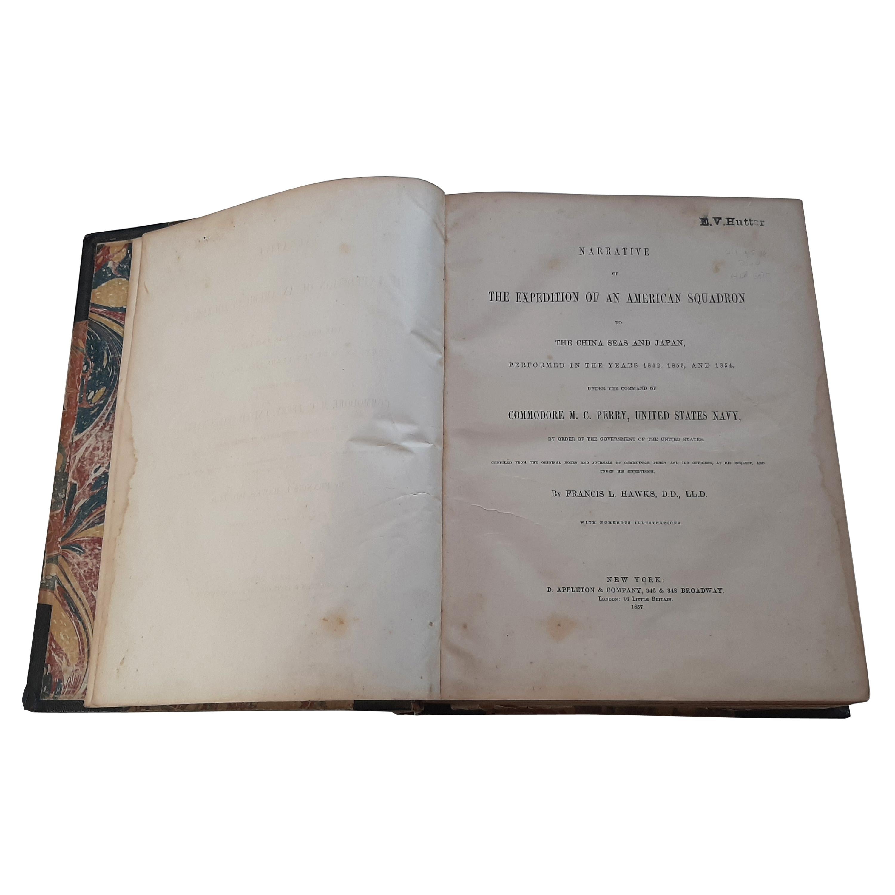
View AllNarrative of the Expedition of an American Squadron by M.C. Perry, '1857'
Located in Langweer, NL
'Narrative of the expedition of an American squadron to the China Seas and Japan; performed in the years 1852, 1853, and 1854' by M.C. Perry. Complete narrative with tinted lithograp...
Category
Antique Mid-19th Century Books
Materials
Paper

$3,544 Sale Price
20% Off
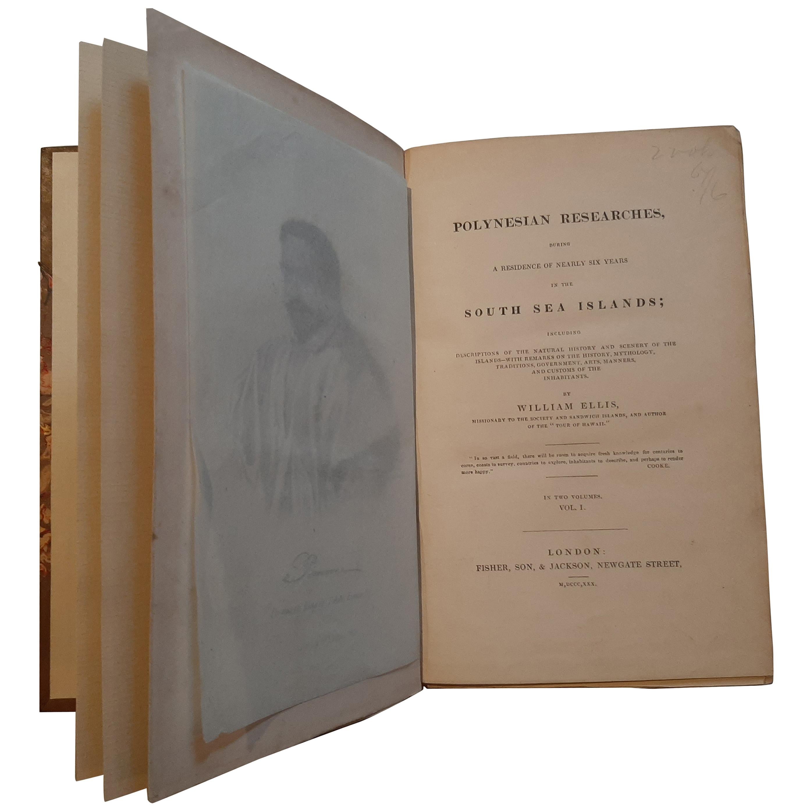
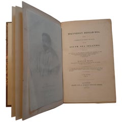
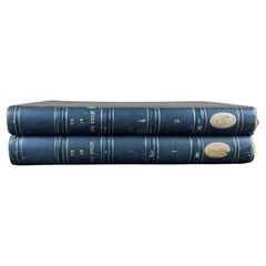
Polynesian Researches, During a Residence of Nearly Six Years '2 vol.'
Located in Langweer, NL
Two volumes 'Polynesian Researches, during a Residence of Nearly Six Years in the South Sea Islands' by William Ellis. Second edition, 2 engraved maps, o...
Category
Antique Mid-19th Century Books
Materials
Paper
$378 Sale Price
20% Off
The Last Voyage, to India and Australia, in the Sunbeam by Annie Brassey, 1889
Located in Langweer, NL
'The Last Voyage, to India and Australia, in the Sunbeam' by the late Lady Brassey. Illustrated by R.T. Pritchett and from photographs. Published 1889. Hardboard cover in original bl...
Category
Antique Late 19th Century Books
Materials
Paper
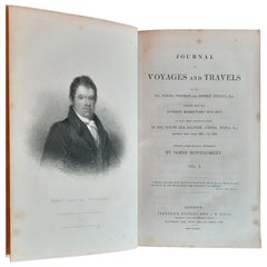
Journal of Voyages and Travels '2 Vol.' by Tyerman & George Bennet, '1831'
Located in Langweer, NL
Two volumes 'Journal of Voyages and Travels (..)' by Tyerman (Rev. Daniel) & George Bennet. First edition, engraved portrait frontispieces and 12 plates, tissue guards, lacking adver...
Category
Antique Mid-19th Century Books
Materials
Paper
$614 Sale Price
20% Off
Missionary to the New Hebrides, an Autobiography by John G. Paton, '1889'
Located in Langweer, NL
'Missionary to the New Hebrides, an Autobiography' by John G. Paton. Edited by his brother. ibid., 1889, frontisp. portrait, map, orig. cl.
Category
Antique Late 19th Century Books
Materials
Paper
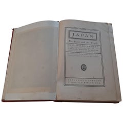
Japan, the Place and the People by G.W. Browne, '1904'
Located in Langweer, NL
'Japan, The Place and the People' by G.W. Browne. Illustrated with over 300 colored plates and half-tones. 438p., col. map, num. (col.) plates and ills., orig. gilt cl., sm. 4to. Par...
Category
Early 20th Century Books
Materials
Paper
$165 Sale Price
20% Off
You May Also Like
A Fascinating Ship’s Log And Journal Relating To The Whitway/Whiteway
Located in Lymington, Hampshire
A Fascinating Ship’s Log And Journal Relating To The Whitway/Whiteway Family of Bristol Mariners, Along With A Dispatch Letter From The Bureau in St Petersburg Relating to One Of The...
Category
Antique Early 19th Century Nautical Objects
Materials
Paper
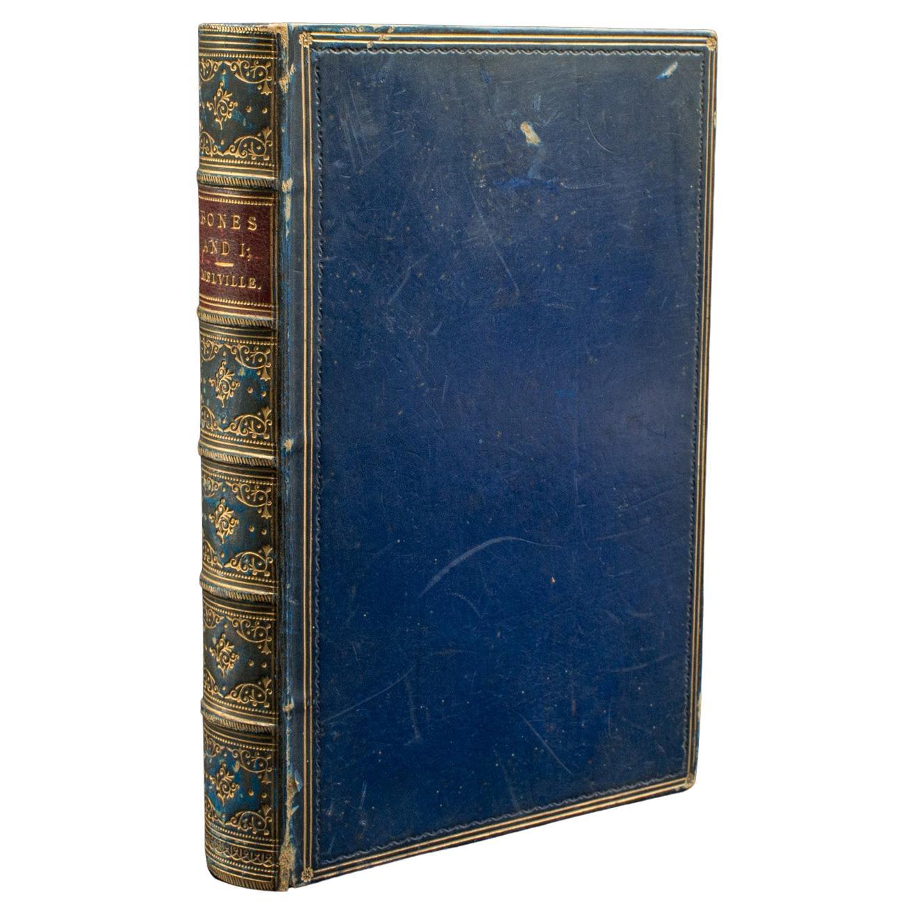
Antique Book, Bones and I, Whyte-Melville, English, Novel, Victorian, Circa 1880
Located in Hele, Devon, GB
This is an antique book, Bones & I by George Whyte-Melville. An English language, bound novel, dating to the late Victorian period, circa 1880.
First published in 1868, Bones & I is a humorous novel written about a man - Jack Raggles - who gains possession of a human skeleton. Written by George Whyte-Melville (1821 - 1878), the book is a comedic and macabre blend of satire and class division.
Nicely presented example of this unusual title
Displays a desirable aged patina, lightly time-worn but intact
Bound with cloth over board in navy blue with gold...
Category
Antique Late 19th Century British Late Victorian Books
Materials
Paper
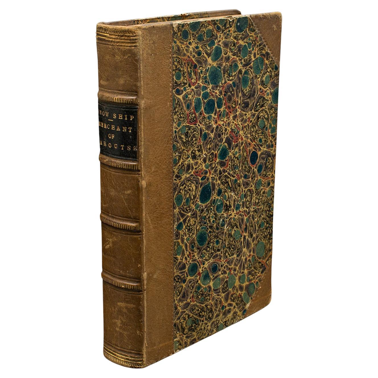
Antique Novel, The Snow Ship, Percy St John, English, Fiction, Victorian, C.1880
Located in Hele, Devon, GB
This is an antique novel The Snow Ship by Percy St. John. An English language fiction book with secondary title Merchant of Yakoutsk, dating to the Vict...
Category
Antique Late 19th Century British Victorian Books
Materials
Paper
Set of Old Books from 19th Century
Located in Beuzevillette, FR
Set of old books dating from the 19th century. From an old protestant library near Le Havre in France. These books are called « Life of Jean Wesley ». These...
Category
Antique 19th Century French Books
Materials
Leather, Paper
Set of Old Bound Books from 19th Century
Located in Beuzevillette, FR
Set of old religious books dating from the 19th century. From an old protestant library near Le Havre in France. These beautiful books are perfect to fill a nice library. Sizes may v...
Category
Antique 19th Century French Books
Materials
Leather, Paper
Set of Old Bound Books from 19th Century
Located in Beuzevillette, FR
Set of old books dating from the 19th century. From an old protestant library near Le Havre in France. These beautiful books are perfect to fill a nic...
Category
Antique 19th Century French Books
Materials
Leather, Paper
More Ways To Browse
Pacific Furniture Mid Century
Victorian Christmas
Broadway Collectibles
Faberge Book
Nude Office Photograph
Adnet Book
Arthur Rackham Illustrations
Vintage Cookbooks
Bound Newspaper
Taschen Sumo
Albert Hadley
Antique Copy Machine
Casino Royale
Mr Punch
Ettore Sottsass Book
Jean Prouve Book
Used Hon Office Furniture
Antique Book Binders