Items Similar to National Geographic Atlas of the World, Eighth Edition Hardcover Book


Want more images or videos?
Request additional images or videos from the seller
1 of 17
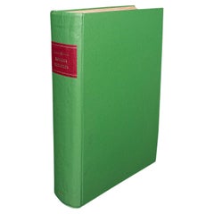
National Geographic Atlas of the World, Eighth Edition Hardcover Book
$165
£125.27
€143.28
CA$230.53
A$256.40
CHF 133.88
MX$3,120.10
NOK 1,709.89
SEK 1,603.58
DKK 1,069.33
Shipping
Retrieving quote...The 1stDibs Promise:
Authenticity Guarantee,
Money-Back Guarantee,
24-Hour Cancellation
About the Item
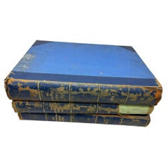
National Geographic Atlas of the World, Eighth Edition
National Geographic
This is a beautiful large library or hardcover coffee table book.
Title: National Geographic Atlas of the World, ...
Publisher: Brand: National Geographic
Publication date: 2004
Binding: Hardcover
Book condition: like new
Dimensions: 18.5" x 12" x 1.5".
Large and heavy
Combining state-of-the-art cartographic technology and information with dynamic and diverse physiographic and cultural content, the Eight Edition is National Geographic's most accurate and interesting record of the world yet. The opening section, Ninety Years of Mapping at National Geographic, traces the founding of Geographic cartography to the present advances in technology and the practice of compiling and organizing geographic information. The atlas truly begins with three stunning new, full-spread world maps, that drape Earth's surface seamlessly with satellite imagery, then physical and natural features, and finally today's political world of countries and growing cities. World thematic topics are organized into two groups: The Physical and Natural World and Human Activities. The Physical and Natural World section includes captivating core topics such as the evolution of earth, geology and tectonics, climate and weather, oceans, world water, the bioshere, and biodiversity. Human Activities covers 11 world themes: population, migration and refugees, conflict and terrorism, cultures, economy, energy and minerals, communications, food, health and education, the environment, and ending with wildlands. All of these intriguing spreads reflect the most authoritative and recent data available and are reviewed by preeminent scholars and experts. Lined up after the world thematic focus is the continental division. All seven continents open with views from space and are then represented with separate physical and political maps. Larger scale regions of each continent are presented for higher definition and detail. Because of our primary readership, additional coverage is given to the United States and Canada. An entirely new component to the Eighth Edition is the city section. Maps and text discussing urban explosion will open this compilation of sixty new maps. Pictures, fact boxes, and text will accompany each city map to create colorful and informative portraits of our built environment. Selected cites such as, New York, Mexico City-the most densely populated city in the world, and Paris will receive more detailed scaling. Less familiar and remote areas of the world and beyond-the poles, the ocean floors, and space-are mapped with new data and findings and dramatic effects. The addition of a new spread and map devoted to Mars will provide a timely reference to the expected news coverage of NASA's Mars Exploration Rover Mission-Spirit and Opportunity. Flags and facts of every country in the world have been newly designed and consolidated into one section, listed in alphabetical order. Locater maps and cross referencing to corresponding large-scale map plates are provided for every entity. Text for each independent country summarizes physical and cultural aspects, while facts reveal the status of population, religion, area, capital, language, literacy, life expectancy, GDP, and economy. A user-friendly, 136 page, comprehensive place-name index cross-references over 130,000 geographical sites and areas. An appendix presents valuable, convenient reference to time zones, metric conversions, foreign terms, abbreviations, airline distances, and temperature and rainfall statistics from all corners of the globe. Navigating throughout the atlas is made easy with enhanced cross-referencing, pointers, labels and an end sheet that includes a visual key with corresponding plate numbers to all the maps. Every map spread in the atlas will include interactive features and access to up-to-the-minute updates and information via the electronic National Geographic Map Machine. Streams of information are available to us on myriad topics and on many fronts. At the same time, there is a need-greater than ever-to better understand our global culture. The Eighth Edition helps bridges the gap with a collection of maps and information that is as engaging as it is informative. Combining state-of-the-art cartographic technology and information with dynamic and diverse physiographic and cultural content, the Eight Edition is National Geographic's most accurate and interesting record of the world yet. The opening section, Ninety Years of Mapping at National Geographic, traces the founding of Geographic cartography to the present advances in technology and the practice of compiling and organizing geographic information. The atlas truly begins with three stunning new, full-spread world maps, that drape Earth's surface seamlessly with satellite imagery, then physical and natural features, and finally today's political world of countries and growing cities. World thematic topics are organized into two groups: the Physical and Natural World and Human Activities. The Physical and Natural World section includes captivating core topics such as the evolution of earth, geology and tectonics, climate and weather, oceans, world water, the bioshere, and biodiversity. Human Activities covers 11 world themes: population, migration and refugees, conflict and terrorism, cultures, economy, energy and minerals, communications, food, health and education, the environment, and ending with wildlands. All of these intriguing spreads reflect the most authoritative and recent data available and are reviewed by preeminent scholars and experts. Lined up after the world thematic focus is the continental division. All seven continents open with views from space and are then represented with separate physical and political maps. Larger scale regions of each continent are presented for higher definition and detail. Because of our primary readership, additional coverage is given to the United States and Canada. An entirely new component to the Eighth Edition is the city section. Maps and text discussing urban explosion will open this compilation of sixty new maps. Pictures, fact boxes, and text will accompany each city map to create colorful and informative portraits of our built environment. Selected cites such as, New York, Mexico City-the most densely populated city in the world, and Paris will receive more detailed scaling. Less familiar and remote areas of the world and beyond-the poles, the ocean floors, and space-are mapped with new data and findings and dramatic effects. The addition of a new spread and map devoted to Mars will provide a timely reference to the expected news coverage of NASA's Mars Exploration Rover Mission-Spirit and Opportunity. Flags and facts of every country in the world have been newly designed and consolidated into one section, listed in alphabetical order. Locater maps and cross referencing to corresponding large-scale map plates are provided for every entity. Text for each independent country summarizes physical and cultural aspects, while facts reveal the status of population, religion, area, capital, language, literacy, life expectancy, GDP, and economy. A user-friendly, 136 page, comprehensive place-name index cross-references over 130,000 geographical sites and areas. An appendix presents valuable, convenient reference to time zones, metric conversions, foreign terms, abbreviations, airline distances, and temperature and rainfall statistics from all corners of the globe. Navigating throughout the atlas is made easy with enhanced cross-referencing, pointers, labels and an end sheet that includes a visual key with corresponding plate numbers to all the maps. Every map spread in the atlas will include interactive features and access to up-to-the-minute updates and information via the electronic National Geographic Map Machine. Streams of information are available to us on myriad topics and on many fronts. At the same time, there is a need-greater than ever-to better understand our global culture. The Eighth Edition helps bridges the gap with a collection of maps and information that is as engaging as it is informative.
- Dimensions:Height: 18.5 in (46.99 cm)Width: 12.5 in (31.75 cm)Depth: 1.25 in (3.18 cm)
- Style:Mid-Century Modern (In the Style Of)
- Materials and Techniques:
- Place of Origin:Malta
- Period:2000-2009
- Date of Manufacture:2002
- Condition:Wear consistent with age and use.
- Seller Location:North Hollywood, CA
- Reference Number:Seller: 211stDibs: LU906823772922
About the Seller
5.0
Platinum Seller
Premium sellers with a 4.7+ rating and 24-hour response times
1stDibs seller since 2011
3,057 sales on 1stDibs
Typical response time: 1 hour
- ShippingRetrieving quote...Shipping from: North Hollywood, CA
- Return Policy
Authenticity Guarantee
In the unlikely event there’s an issue with an item’s authenticity, contact us within 1 year for a full refund. DetailsMoney-Back Guarantee
If your item is not as described, is damaged in transit, or does not arrive, contact us within 7 days for a full refund. Details24-Hour Cancellation
You have a 24-hour grace period in which to reconsider your purchase, with no questions asked.Vetted Professional Sellers
Our world-class sellers must adhere to strict standards for service and quality, maintaining the integrity of our listings.Price-Match Guarantee
If you find that a seller listed the same item for a lower price elsewhere, we’ll match it.Trusted Global Delivery
Our best-in-class carrier network provides specialized shipping options worldwide, including custom delivery.More From This Seller
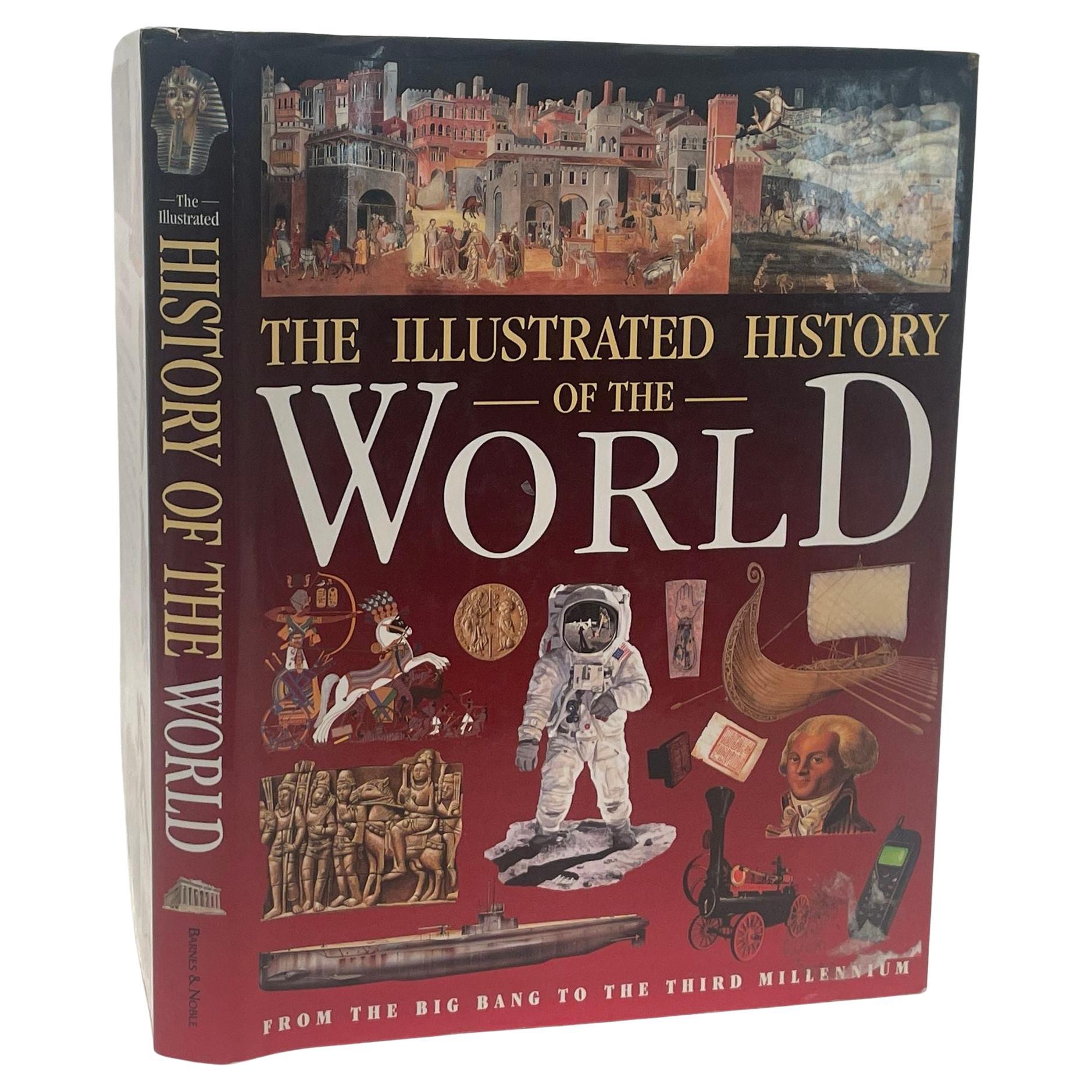
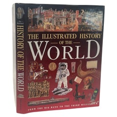
View AllIllustrated History of the World From the Big Bang to the Third Millennium 2001
Located in North Hollywood, CA
Illustrated History of the World: From the Big Bang to the Third Millennium by Neil Morris Hardcover.Illustrated History of the World. published in 2001.When our earliest human ances...
Category
21st Century and Contemporary American Expressionist Books
Materials
Paper
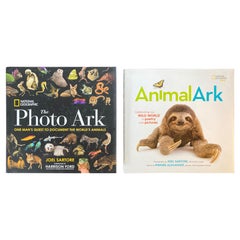
National Geographic The Photo Ark The Quest to Document the World's Animals
Located in North Hollywood, CA
National Geographic The Photo Ark: One Man's Quest to Document the World's Animals.
Animal Ark: Celebrating our Wild World in Poetry and Pictures (National Geographic Kids) Hardcover – February 14, 2017
Synopsis:
The lush and unique photography in this book represents National Geographic's Photo Ark, a major initiative and lifelong project by photographer Joel Sartore to make portraits of the world's animals—especially those that are endangered. His powerful message, conveyed with humor, compassion, and art: to know these animals is to save them.
Animal Ark: Celebrating our Wild World in Poetry and Pictures (National Geographic Kids) Hardcover – February 14, 2017
by Kwame Alexander (Author), Mary Rand Hess (Author), Deanna Nikaido
Sartore is circling the globe, visiting zoos and wildlife rescue centers to create studio portraits of 12,000 species, with an emphasis on those facing extinction. With a goal of photographing every animal in captivity in the world, he has photographed more than 6,000 already and now, thanks to a multi-year partnership with National Geographic, he may reach his goal. This book showcases his animal portraits: from tiny to mammoth, from the Florida grasshopper sparrow to the greater one-horned rhinoceros. Paired with the eloquent prose of veteran wildlife writer Douglas Chadwick, and an inspiring foreword from Harrison Ford, this book presents a thought-provoking argument for saving all the species of our planet.
About the Author:
JOEL SARTORE is a photographer, speaker, author, teacher, and a 25-year contributor to National Geographic magazine as well as Audubon, Geo, Time, Life, Newsweek, and Sports Illustrated. He has written several books including National Geographic's Rare: Portraits of America's Endangered Species, Photographing Your Family, and Let's Be Reasonable, a collection of essays from the CBS Sunday Morning show. Sartore and his work have been the subjects of several national broadcasts, including the National Geographic Channel's Explorer, the NBC Nightly News, NPR's Weekend Edition, and an hour-long PBS documentary, At Close Range. He is also a contributor on the CBS Sunday Morning Show with Charles Osgood...
Category
21st Century and Contemporary North American Folk Art Books
Materials
Paper
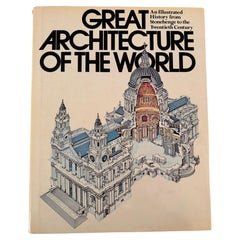
Great Architecture of the World Hardcover Book
Located in North Hollywood, CA
Great Architecture of the World.
This book is an illustrated history from Stonehenge to the Twentieth Century.
The book is edited by John Julius Norwich. It was first published in 19...
Category
Late 20th Century American Art Deco Books
Materials
Paper
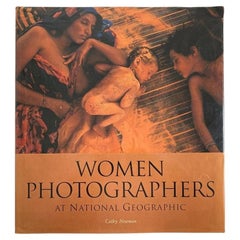
"Women Photographers at National Geographic" Hardcover Book
Located in North Hollywood, CA
"Women Photographers at National Geographic".
Hardcover book, September 1, 2000
Celebrating the women who have helped make National Geographic one ...
Category
Early 2000s American Arts and Crafts Books
Materials
Paper
The ILLUSTRATED LONDON NEWS 1954 Vol 2 and 1956 Vol 1 Vol 2 Set of 3 Books
Located in North Hollywood, CA
The ILLUSTRATED LONDON NEWS 1954 Vol 2 and 1956 Vol 1 Vol 2 Set of 3 Books.
Each book stamped: "Malcolm Forbes Esqu." see picture attached.
Probably from the estate of the Library of...
Category
Mid-20th Century English Victorian Books
Materials
Paper
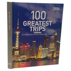
100 Greatest Trips by Travel and Leisure Hardcover Book
Located in North Hollywood, CA
100 Greatest Trips by Travel and Leisure Hardcover 2011.
100 Greatest Trips, an invaluable and inspiring compendium of the year's most distinctive destinations. Whether your dream is to escape to a thatched-roof safari camp...
Category
21st Century and Contemporary American Modern Books
Materials
Paper
You May Also Like
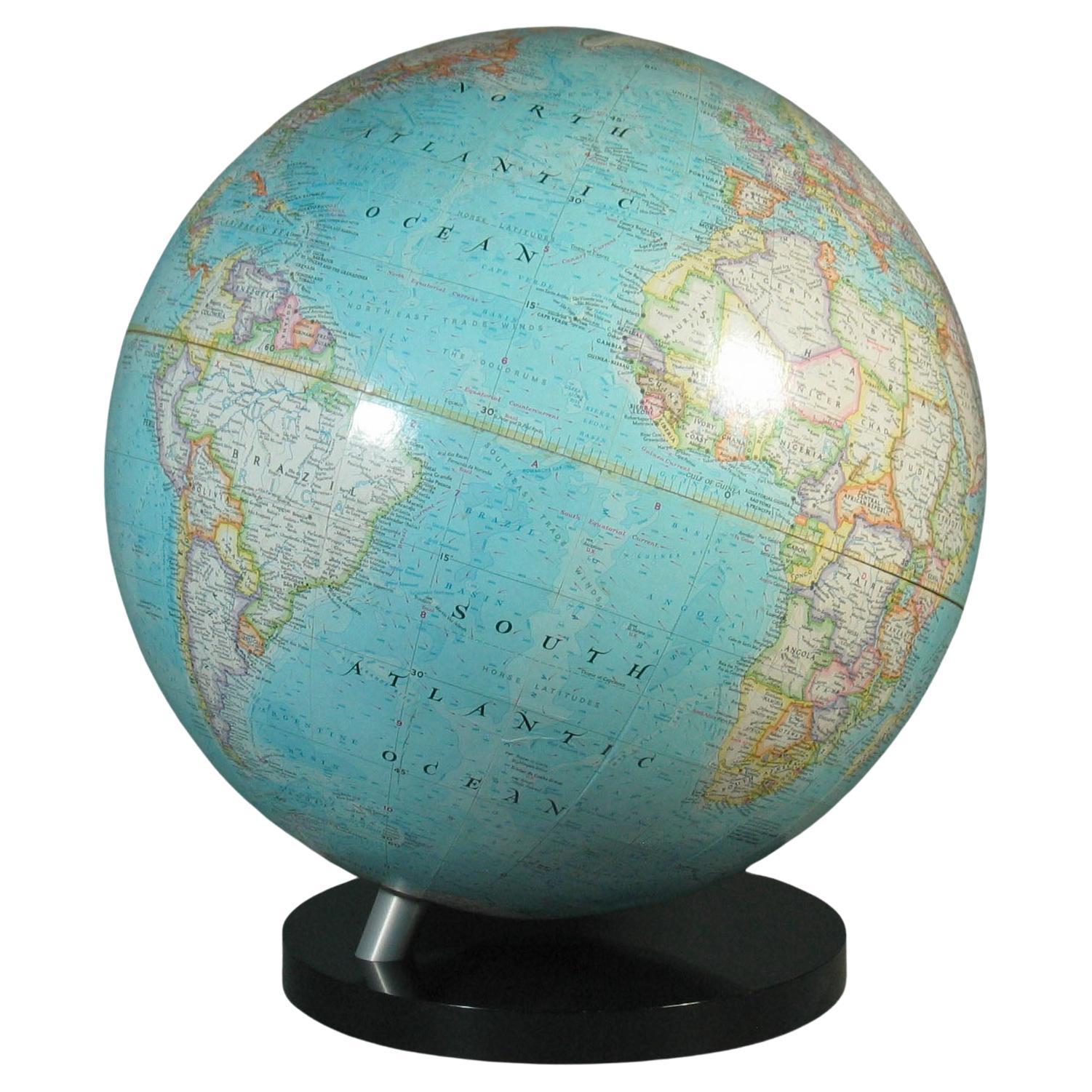
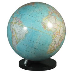
16-Inch Terrestrial Globe 1986 National Geographic
By National Geographic
Located in Ottawa, Ontario
A 16-INCH TERRESTRIAL GLOBE 1986
NATIONAL GEOGRAPHIC
Large terrestrial globe with paper gores
on a stylish black lucite base
scale 1: 31,350,000
18" inches, (45.5cm.) high.
16" in...
Category
Late 20th Century American Modern Maps
Materials
Metal
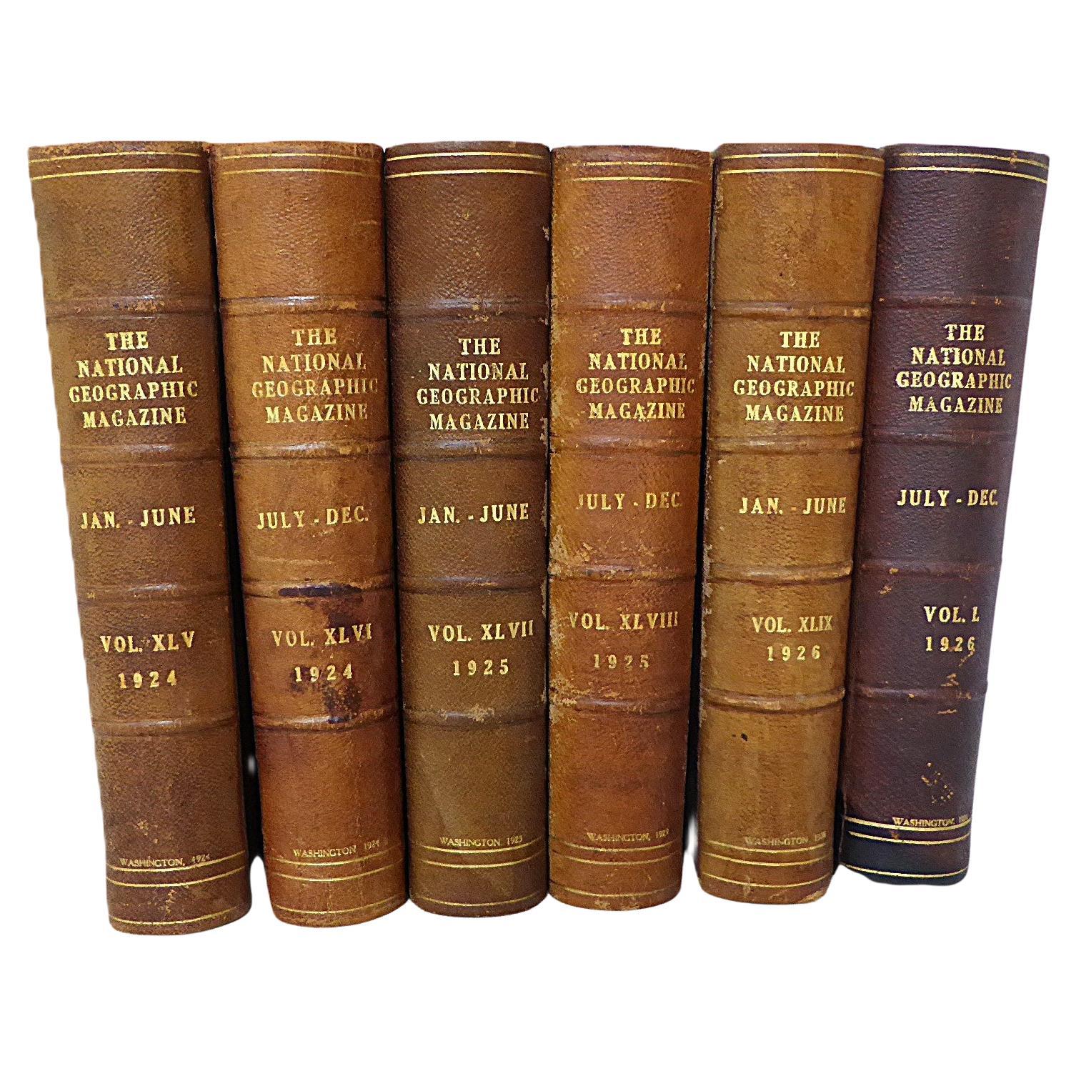
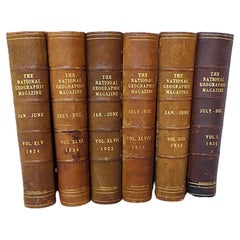
Antique Leather Spine 6 Volumes National Geographic Magazine 1924 1925 and 1926
By National Geographic
Located in Miami, FL
Set of antique 1924/1925 and 1926 National Geographic Magazines. 6 Well bound leather-spine & corners and dark cloth books, 2 volumes per year, January-June and July-December. A ti...
Category
Vintage 1920s American International Style Books
Materials
Leather, Paper
Large Antique Encyclopaedia, Historica Britannica, Multilingual Book, Victorian
Located in Hele, Devon, GB
This is a large antique reference book, Monumenta Historica Britannica. Printed in English and multiple languages, a later bound encyclopaedia, dating to the Victorian period, published 1848.
Full title: Monumenta Historica Britannica or Materials for the History of Britain from the Earliest Period to the end of the Reign of King Henry VII - Volume I.
Superb collection of reference in English, Anglo-Saxon 'Old English' Latin and Welsh
Charming lithograph engravings illustrate throughout
Later professional binding in a quality green textile cover with gold tooled titling
Pages intact, text perfectly legible - some colouration present
Impressive proportion and weight at 6.52kg (14.3 lb)
This is an fascinating large antique reference book, published by command of Queen Victoria. Presented in multiple languages including modern English, with a selection of charming illustrations and antique records...
Category
Antique Mid-19th Century British Victorian Books
Materials
Paper
Vintage USSR Book: 'Small Soviet Encyclopedia' circa 1959 - Volume 7, 1J75
Located in Bordeaux, FR
Step into the treasure trove of knowledge with this remarkable vintage book from the USSR titled 'Malaya Sovetskaya Entsiklopediya' ('Small Soviet Encyclopedia'). Published in 1959, ...
Category
Vintage 1950s Books
Materials
Paper
Mid-Century Earth Globe Electrified
Located in Lisboa, Lisboa
Earth globe, electrified. With polished wooden base and golden metal structure. This model presents a physical and political representation of the world, with reliefs that highlight ...
Category
Mid-20th Century Portuguese Mid-Century Modern Maps
Materials
Metal
Earth globe of the geographer and cartographer of the Austro-Hungarian Empire Jan Felkl
Located in Milan, IT
Tabletop globe made by Austro-Hungarian Empire geographer and cartographer Jan Felkl in the second half of the 19th century. In addition to the spatial map, ocean currents are shown....
Category
Antique 1870s Globes
Materials
Paper
More Ways To Browse
Atlas Globe
Capital Coffee Table
World Map Table
Globe Coffee Table
Library Globe
Map Coffee Table
Flag Pole
Used Flag Poles
Draped Coffee Table
Order Of Malta
Maltese Cross Furniture
Mexican Flag
Canadian Atlas Furniture
Scholar Coffee Table
Airline Map
World Map Coffee Table
Group Of Seven Canada
Burlington Used Office Furniture