Items Similar to 1844 French Antique Nautical Portolano of Golfe De St. Drely by Antoine Roux
Want more images or videos?
Request additional images or videos from the seller
1 of 11
1844 French Antique Nautical Portolano of Golfe De St. Drely by Antoine Roux
$539.16
£401.37
€450
CA$738.52
A$821.40
CHF 428.91
MX$9,995.52
NOK 5,477.80
SEK 5,137.21
DKK 3,425.69
Shipping
Retrieving quote...The 1stDibs Promise:
Authenticity Guarantee,
Money-Back Guarantee,
24-Hour Cancellation
About the Item
Antique portolano, nautical map of Golfe De St. Drely engraved on a copper plate by Antoine Roux, Marseille France 1844, from his work Recueil des principaux plans des ports et de Rades de la Mer Méditerranée et la Mer Noire. Very good condition. Measures with frame cm 38 x 31 - inches 15 x 12.
Joseph Roux came from a family of hydrographers and with his son Joseph Junior had a specialized tipography in Marseille. In 1764 Roux made a work named Recueil des principaux plans des ports et de Rades de la Mer Méditerranée et la Mer Noire, small, very handy because of its maneuverability and in fact reprinted several times until 1848.
Shipping is insured by Lloyd's London.
- Creator:Antoine Roux (Maker)
- Dimensions:Height: 12.21 in (31 cm)Width: 14.97 in (38 cm)Depth: 0.79 in (2 cm)
- Materials and Techniques:
- Place of Origin:
- Period:
- Date of Manufacture:1844
- Condition:
- Seller Location:Milan, IT
- Reference Number:1stDibs: LU1020220362532
About the Seller
5.0
Vetted Professional Seller
Every seller passes strict standards for authenticity and reliability
Established in 1999
1stDibs seller since 2014
398 sales on 1stDibs
Typical response time: 1 hour
- ShippingRetrieving quote...Shipping from: Milan, Italy
- Return Policy
Authenticity Guarantee
In the unlikely event there’s an issue with an item’s authenticity, contact us within 1 year for a full refund. DetailsMoney-Back Guarantee
If your item is not as described, is damaged in transit, or does not arrive, contact us within 7 days for a full refund. Details24-Hour Cancellation
You have a 24-hour grace period in which to reconsider your purchase, with no questions asked.Vetted Professional Sellers
Our world-class sellers must adhere to strict standards for service and quality, maintaining the integrity of our listings.Price-Match Guarantee
If you find that a seller listed the same item for a lower price elsewhere, we’ll match it.Trusted Global Delivery
Our best-in-class carrier network provides specialized shipping options worldwide, including custom delivery.More From This Seller
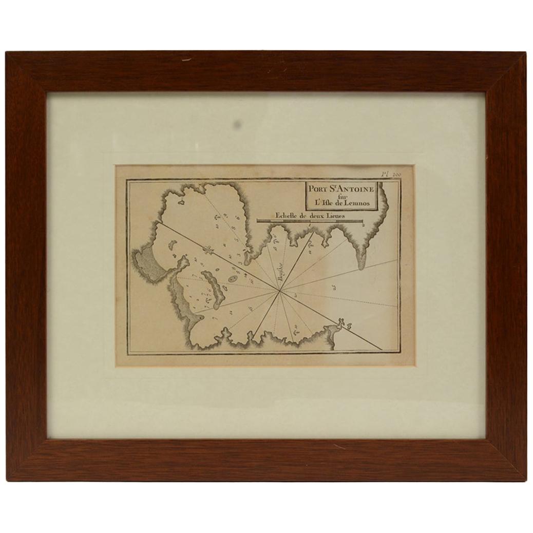
View AllAntique Nautical Portolano of Port St. Antoine by Antoine Roux, France, 1844
By Antoine Roux
Located in Milan, IT
Antique portolano, nautical map of Port St. Antoine engraved on a copper plate by Antoine Roux, Marseille, France, 1844, from his work Recueil des principaux plans des ports et de Ra...
Category
Antique 1840s French Nautical Objects
Materials
Paper

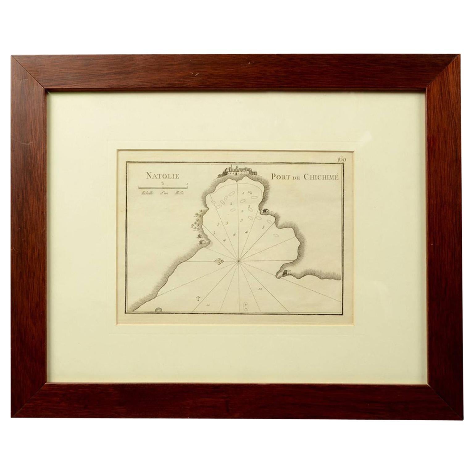
1844 French Nautical Portolano of Port De Chichimé Natolie by Antoine Roux
By Antoine Roux
Located in Milan, IT
Antique portolano, nautical map of Port De Chichimé Natolie engraved on a copper plate by Antoine Roux, Marseille France 1844, from his work Recueil des principaux plans des ports et...
Category
Antique 1840s French Nautical Objects
Materials
Paper
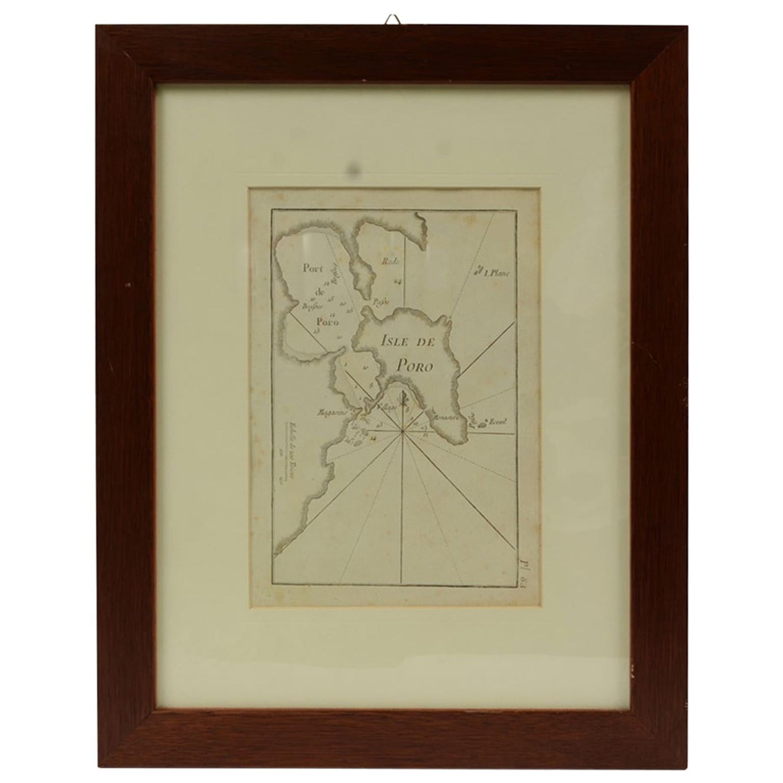
Antique Nautical Portolano of Isle De Poro by Antoine Roux, France, 1844
By Antoine Roux
Located in Milan, IT
Antique portolano, nautical map of Isle De Poro engraved on a copper plate by Antoine Roux, Marseille France 1844, from his work Recueil des principaux plans des ports et de Rades de...
Category
Antique 1840s French Nautical Objects
Materials
Paper
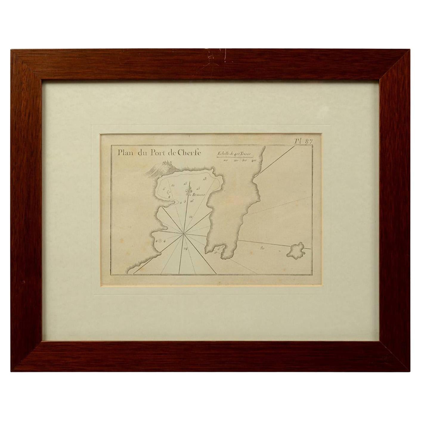
1844 French Antique Nautical Portolan of Plan du Port de Cherfe by Antoine Roux
By Antoine Roux
Located in Milan, IT
Antique portolano, nautical map of Plan du Port de Cherfe engraved on a copper plate by Antoine Roux, Marseille France 1844, from his work Recueil des principaux plans des ports et d...
Category
Antique 1840s French Nautical Objects
Materials
Paper

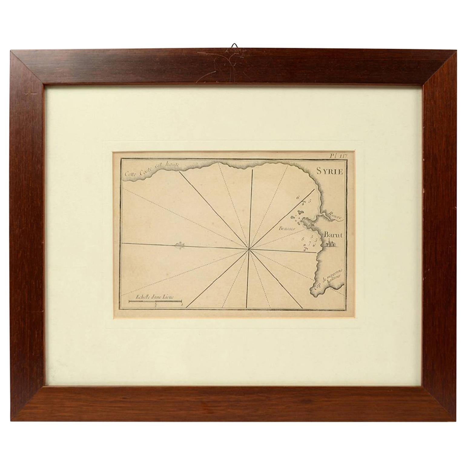
1844 French Antique Nautical print Engraved Portolano of Syrie by Antoine Roux
By Antoine Roux
Located in Milan, IT
Antique portolano, nautical map of Syrie engraved on a copper plate by Antoine Roux, Marseille France 1844, from his work Recueil des principaux plans des ports et de Rades de la Mer...
Category
Antique 1840s French Nautical Objects
Materials
Paper

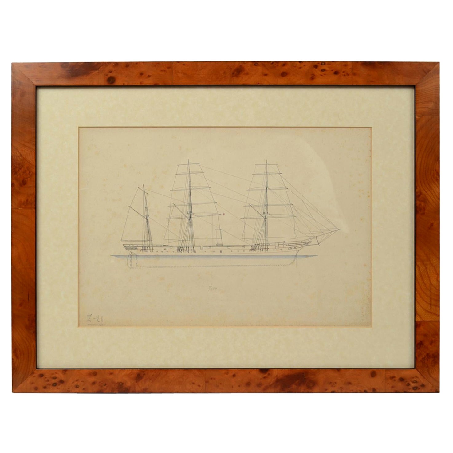
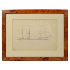
Print No. 1 of 400 Depicting a Nautical Schooner Made in the Mid-19th Century
Located in Milan, IT
Print depicting a schooner, no. 1 of 400 copies signed Z21, made in the mid-19th century. Non-coeval briarwood frame; measures with frame 50 x 40 cm.
Category
Antique 1850s British Nautical Objects
Materials
Paper
You May Also Like
Northwest Coast and Isle of Man Map
Located in Cheshire, GB
Greenville Collins Northwest Coast and Isle of Man. hand coloured chart, encased in an ebonised frame.
Dimensions
Height 26.5 Inches
Width 30 Inches
Depth 1 Inches
Category
Early 20th Century British Maps
Materials
Paper

$520 Sale Price
20% Off
19th Century Nautical Chart of Martinique
Located in Norwell, MA
Original map of Martinique from 1887 with chartered waters around the island. Prepared from a French survey, completed in 1825, showing town, ports, rivers and tributaries. Published...
Category
Antique 19th Century Nautical Objects

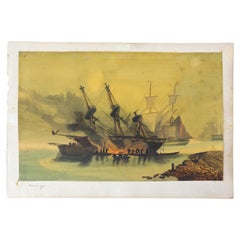
Painting Representing, French, 19th Century
Located in Labrit, Landes
French 19th century, painting of a boat fairing.
This scene represents a boat fairing and sealing with tar by the sea. Today, as much as possible, boats are put in dry dock to carry...
Category
Antique Mid-19th Century French Nautical Objects
Materials
Paint, Paper
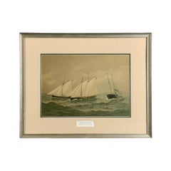
Fred Cozzens American Yachting Print
Located in Norwell, MA
Framed lithograph from the American Yachting Series by Fred S. Cozzens. Showing the American yachts Bedovin, Intrepid and Mamouna in rough seas. Dated 1884. Dou...
Category
Antique Early 1900s Nautical Objects
Materials
Paper
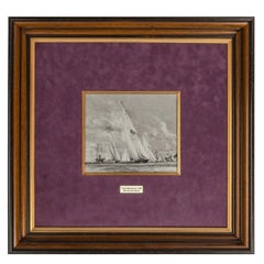
Charles Dixon R.A. for King George V, Royal Yacht Britannia
Located in Lymington, Hampshire
This ‘en grisaille’ watercolour on paper is Charles Dixon’s preparatory sketch for a proposed but apparently uncompleted painting of the royal racing yacht Britannia...
Category
Vintage 1930s English Nautical Objects
Materials
Paper
America "Amérique Septentrionale": A 19th Century French Map by Delamarche
By Maison Delamarche 1
Located in Alamo, CA
This framed mid 19th century map of North America entitled "Amérique Septentrionale" by Felix Delamarche was published in Paris in 1854 by Quay de l'Horloge du Palais, avec les Carte...
Category
Antique Mid-19th Century American Other Maps
Materials
Paper

More Ways To Browse
Nautical Antique Plates
Yacht Club
Nautical Vintage Anchor
Sea Captains Furniture
Used Nautical Decor
Ship Wheel Used
Nautical Compass
Antique Nautical Signs
Shipyard Furniture
Antique Cannons
Copper Boat
Vintage Yacht Furniture
Brass Porthole
Large Brass Nautical
Nautical Antique Plates
Mahogany Boat
Ship Compass Antique
Antique Nautical Prints