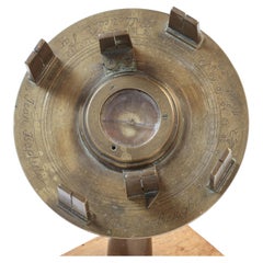
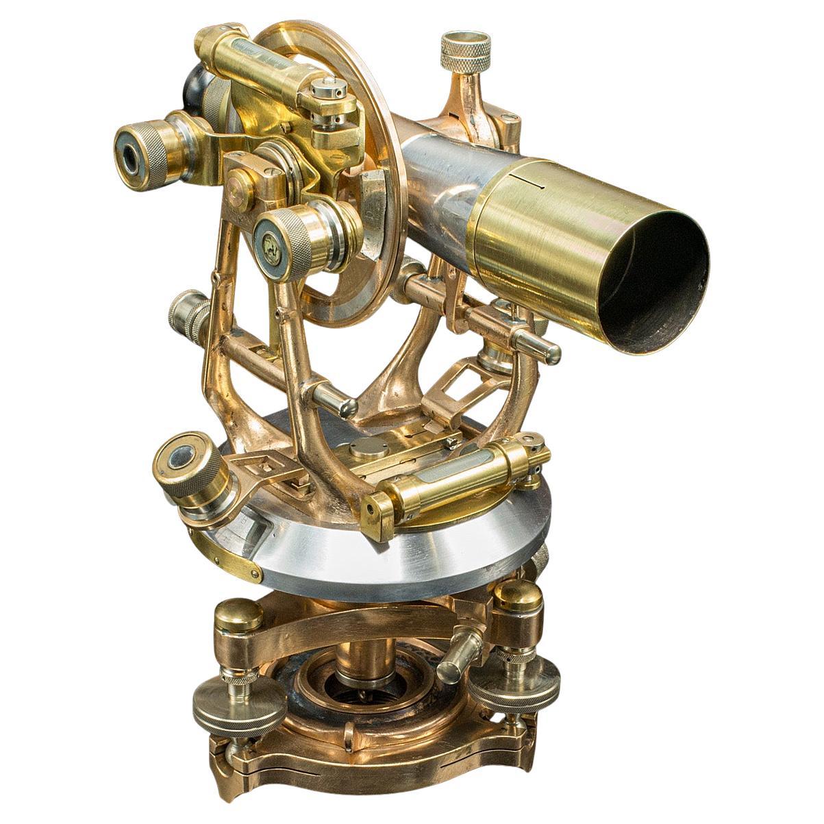
Jean Baptiste Van Lerberghe Theodolite - Circa 1700 to 1720
View Similar Items


Video Loading
1 of 11
Jean Baptiste Van Lerberghe Theodolite - Circa 1700 to 1720
$5,000List Price
About the Item
- Dimensions:Height: 8 in (20.32 cm)Width: 6 in (15.24 cm)Depth: 6 in (15.24 cm)
- Materials and Techniques:
- Place of Origin:
- Period:
- Date of Manufacture:Circa 1710
- Condition:Wear consistent with age and use. Missing one of the screws holding down the compass cover. The stand is not included.
- Seller Location:Placerville, CA
- Reference Number:1stDibs: LU9222236297562
Authenticity Guarantee
In the unlikely event there’s an issue with an item’s authenticity, contact us within 1 year for a full refund. DetailsMoney-Back Guarantee
If your item is not as described, is damaged in transit, or does not arrive, contact us within 7 days for a full refund. Details24-Hour Cancellation
You have a 24-hour grace period in which to reconsider your purchase, with no questions asked.Vetted Professional Sellers
Our world-class sellers must adhere to strict standards for service and quality, maintaining the integrity of our listings.Price-Match Guarantee
If you find that a seller listed the same item for a lower price elsewhere, we’ll match it.Trusted Global Delivery
Our best-in-class carrier network provides specialized shipping options worldwide, including custom delivery.You May Also Like
Antique Map of Peru by van der Aa, 'circa 1720'
Located in Langweer, NL
Antique map titled 'Le Perou, Grand Pays de l Amerique Meridionale (..)'. Decorative map of Peru including portions of Ecuador and northern Chile and Boliv...
Category
Antique Early 18th Century Maps
Materials
Paper

$717 Sale Price
20% Off
Antique Map of the Holy Land by Van Luchtenburg, c.1720
Located in Langweer, NL
Antique map titled 'Heylige Land verdeeld in de Twaalf Stammen Israels (..).' Highly detailed map of the Holy Land divided into 12 tribes of Israel...
Category
Antique 18th Century Maps
Materials
Paper

$133 Sale Price
20% Off
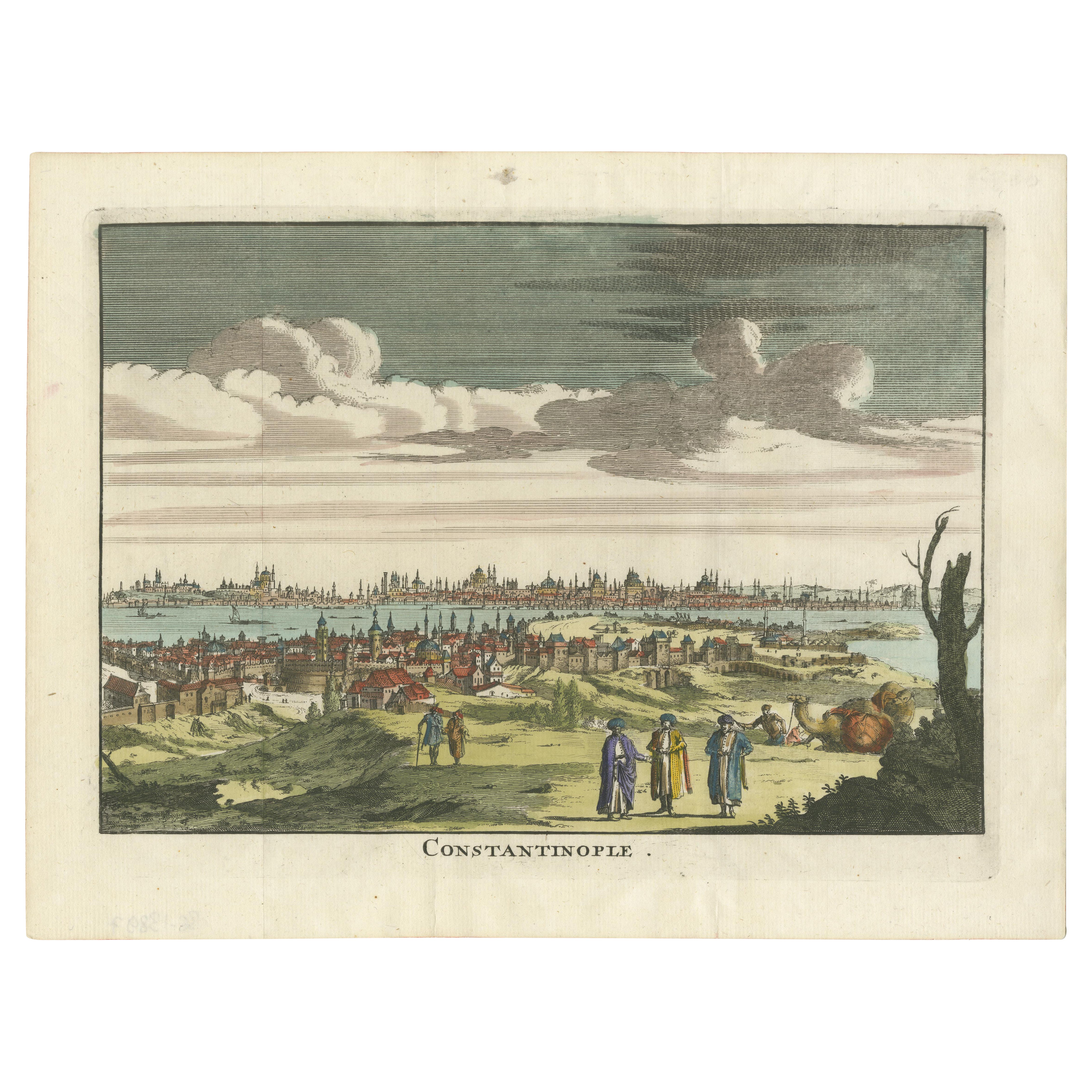
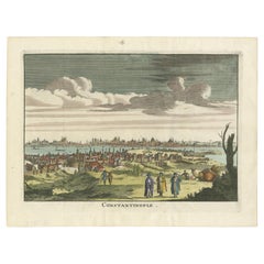
Constantinople – Panoramic Hand-Colored Engraving, Augsburg, circa 1720
Located in Langweer, NL
Constantinople – Panoramic Hand-Colored Engraving, Augsburg, circa 1720
This panoramic hand-colored engraving presents a sweeping bird’s-eye view of Constantinople (modern-day Istan...
Category
Antique Early 18th Century German Maps
Materials
Paper
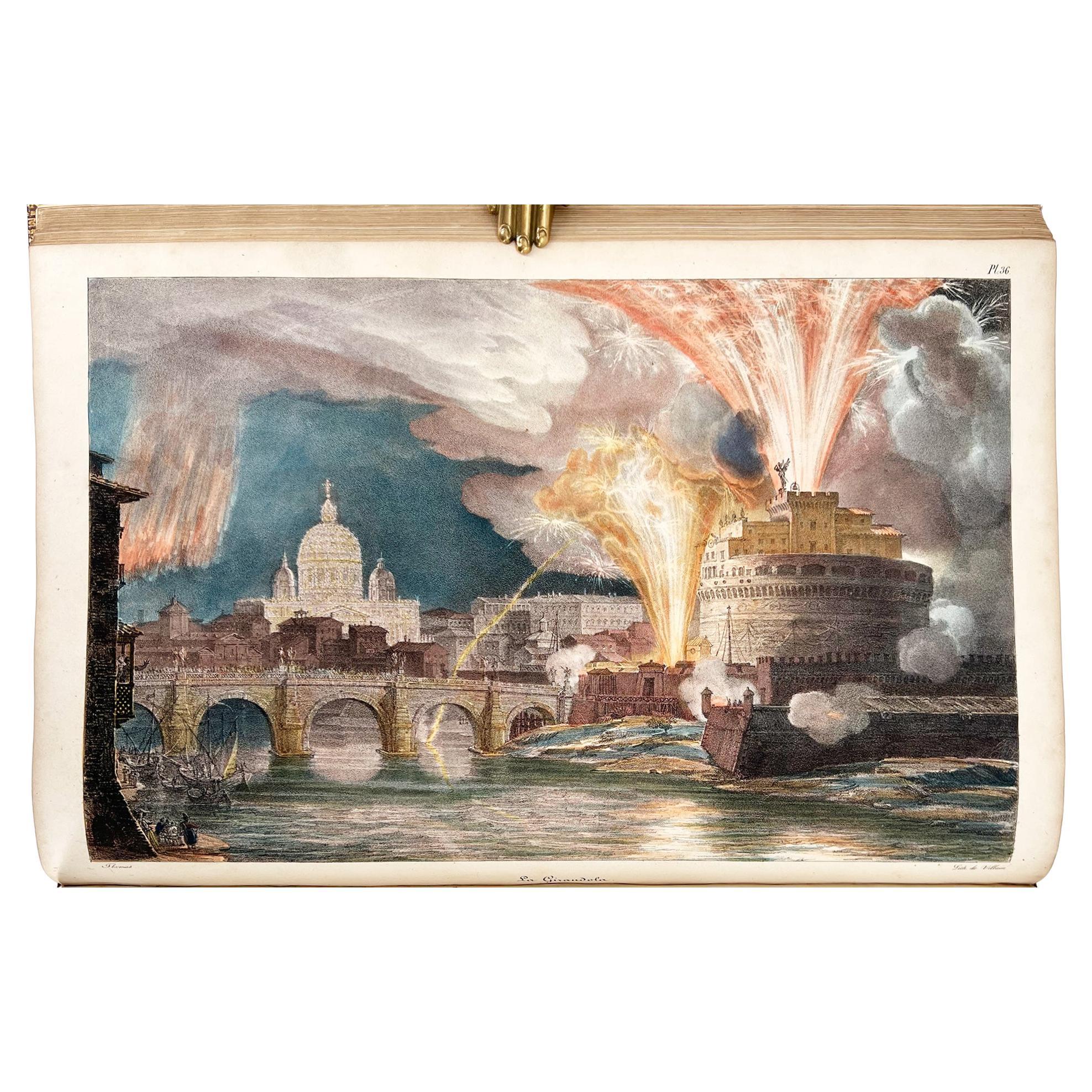
Thomas, Antoine Jean-Baptiste – Un an à Rome et dans ses environs....
Located in Middletown, NY
Thomas, Antoine Jean-Baptiste
Un an à Rome et dans ses environs; Recueil de dessins lithographiés, représentant les costumes, les usages et le cérémonies c...
Category
Antique Late 18th Century French Books
Materials
Gold Leaf

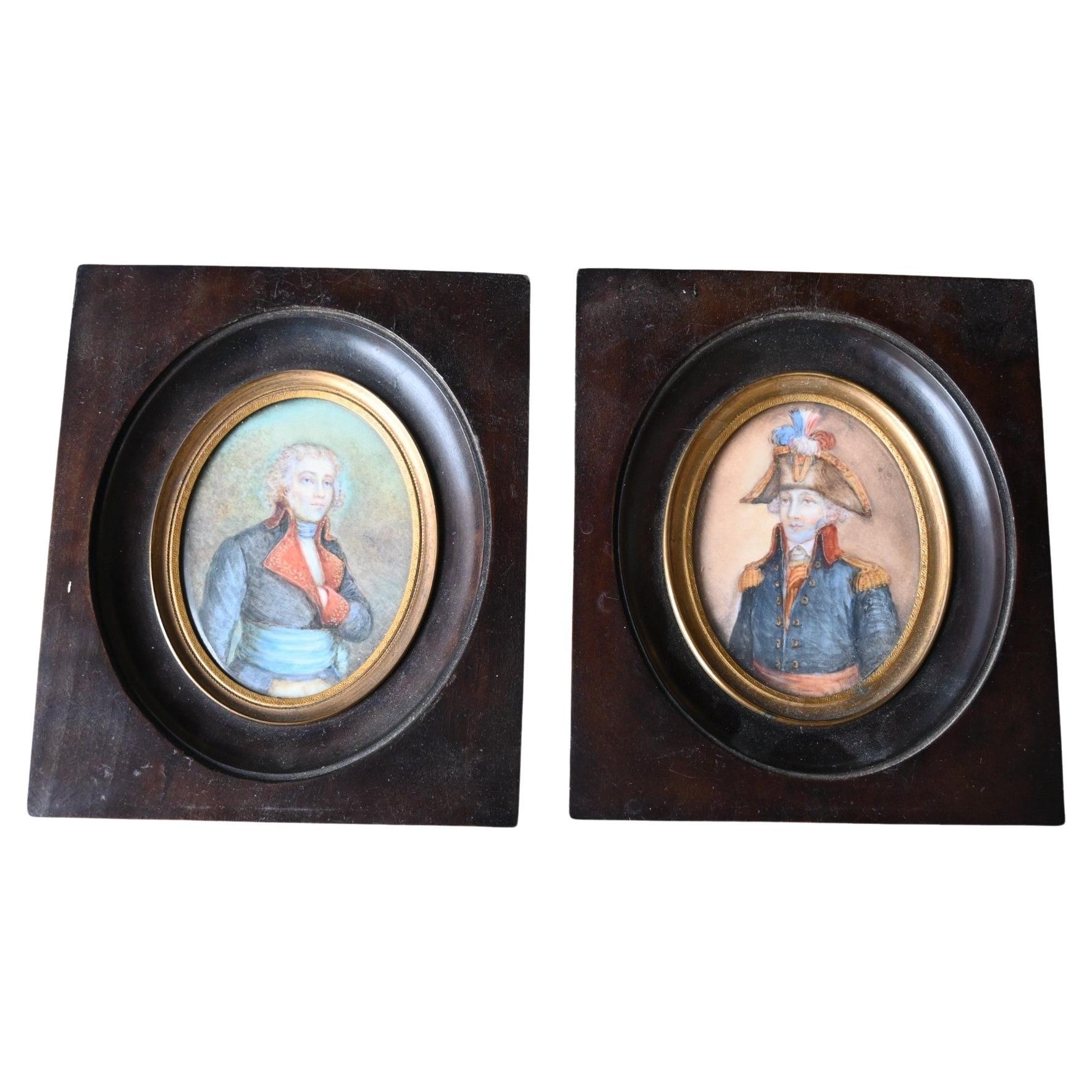
Pair French Miniature Portraits Of Commander Jean-baptiste Raymond De Lacrosse
Located in Bilzen, BE
A Pair of Napoleonic Portrait Miniatures Commander of Jean-Baptiste Raymond de Lacrosse
Jean-Baptiste Raymond de Lacrosse (1760-1829)
Career
Joined the French Navy in the 1780sPartic...
Category
Antique Late 18th Century French Empire Historical Memorabilia
Materials
Wood

Antique Map of the Bay of Batavia by Van der Aa, c.1720
Located in Langweer, NL
Antique map titled 'La Rade de Batavia'. A small early 18th century black and white map of the Bay of Batavia (Jakarta), Indonesia. Published by P....
Category
Antique 18th Century Maps
Materials
Paper

$258 Sale Price
20% Off