Items Similar to Antique Vintage Australia Wall Map By W & A K Johnston

Want more images or videos?
Request additional images or videos from the seller
1 of 6
Antique Vintage Australia Wall Map By W & A K Johnston
$437.61per item
£325per item
€383.25per item
CA$606.25per item
A$679.95per item
CHF 356.08per item
MX$8,262.06per item
NOK 4,521.61per item
SEK 4,286.81per item
DKK 2,860.73per item
Quantity
About the Item
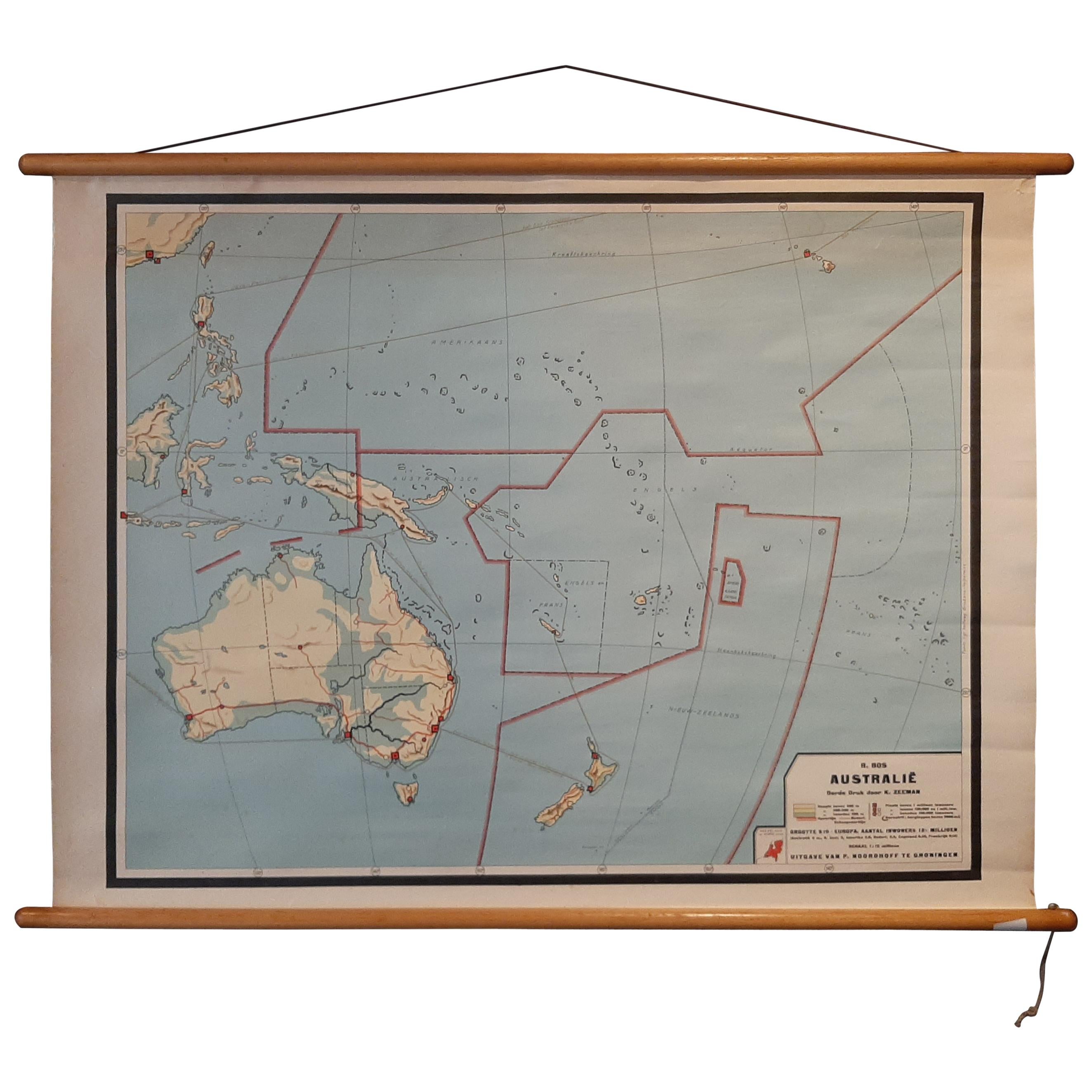
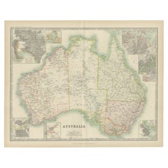
Vintage Australia Wall Map By W & A K Johnston
A vintage school pull down wall map of Australia. The map has a wooden hanging pole at the top and bottom. The map is manufactured by the renown Scottish map maker W. & A.K. Johnston. The map is dated 1952.
The firm of W. & A.K. Johnston was one of the major map publishing houses of the 19th century. William Johnston and his brother Alexander Keith Johnston originally trained as engravers, and founded the firm in 1826.
Dimensions:
Height: 95cm
Width: 130cm (wooden batons are 135cm)
Origin: Scotland
Circa: 1950s
Workshop Report: The map is in good condition, some minor wear to the edges in places
As with all our products, This product is an original vintage item so there are signs of wear from use.
- Creator:W. & A.K. Johnston (Manufacturer)
- Dimensions:Height: 37.41 in (95 cm)Width: 51.19 in (130 cm)Depth: 0.4 in (1 cm)
- Style:Schoolhouse (Of the Period)
- Materials and Techniques:
- Place of Origin:
- Period:
- Date of Manufacture:1930s
- Condition:Wear consistent with age and use. Minor fading. Workshop Report: The map is in good condition, As with all our products, This product is an original vintage item so there are signs of wear from use.
- Seller Location:Stockbridge, GB
- Reference Number:Seller: SKU: 40911stDibs: LU7442237870692
About the Seller
5.0
Vetted Professional Seller
Every seller passes strict standards for authenticity and reliability
Established in 2014
1stDibs seller since 2022
73 sales on 1stDibs
Typical response time: 2 hours
- ShippingRetrieving quote...Shipping from: Stockbridge, United Kingdom
- Return Policy
Authenticity Guarantee
In the unlikely event there’s an issue with an item’s authenticity, contact us within 1 year for a full refund. DetailsMoney-Back Guarantee
If your item is not as described, is damaged in transit, or does not arrive, contact us within 7 days for a full refund. Details24-Hour Cancellation
You have a 24-hour grace period in which to reconsider your purchase, with no questions asked.Vetted Professional Sellers
Our world-class sellers must adhere to strict standards for service and quality, maintaining the integrity of our listings.Price-Match Guarantee
If you find that a seller listed the same item for a lower price elsewhere, we’ll match it.Trusted Global Delivery
Our best-in-class carrier network provides specialized shipping options worldwide, including custom delivery.More From This Seller
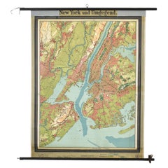
View AllAntique New York Wall Map by Westermann
By Westermann
Located in Stockbridge, GB
Antique New York Map By Westermann
A rare early school pull down wall map of New York. The map shows the city of New York and its suburbs. Prin...
Category
Mid-20th Century British Schoolhouse Posters
Materials
Canvas, Wood
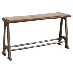
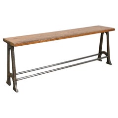
English School Vintage Locker Room Hallway Storage Bench
Located in Stockbridge, GB
Small School Vintage Locker Room Storage Bench
A vintage School Locker Room Bench, with a lovely original hardwood wooden top salvaged from a Gram...
Category
Mid-20th Century British Bauhaus Benches
Materials
Steel
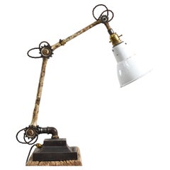
Antique Original Cog Industrial Dugdills Desk Lamp, 1930s
By Dugdills
Located in Stockbridge, GB
Industrial Dugdills Desk Lamp
A scarce early Dugdills lamp reclaimed from a military installation. The lamp is in original condition retaining its white enamel shade and steel arms with their original cream paint. This is a rare model of Dugdills lamps produced.
Dugdills were one of the early manufacturers of industrial lighting. The company was founded in the 1930s by John Dugdill a prolific British inventor who filed a succession of technical patents in both Britain and the US before 1939. This desk lamp with its articulating joints has the rarer cog tensioners and would have been issued for use in the Royal Navy retaining its AP9103A Admiralty Patent number.
Dimensions:
Lower Arm 1 : 30cm
Middle Arm 2: 24cm
Top Arm 3: 24cm inc shade
Shade diameter: 14cm
Origin: Portsmouth, England
Circa: 1930s
Workshop Report: There is some minor wear to the shade enamel. The lamp has been stripped back, cleaned and the joint spacers...
Category
Mid-20th Century British Mid-Century Modern Table Lamps
Materials
Steel
English School Vintage Locker Room Storage Bench
Located in Stockbridge, GB
School Vintage Locker Room Storage Bench – B
A Vintage School Locker Room Bench, with a lovely original hardwood wooden top salvaged from a...
Category
Mid-20th Century British Bauhaus Benches
Materials
Steel
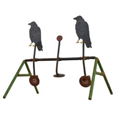
Antique Vintage Rustic Bird Folk Art Fairground Shooting Target
Located in Stockbridge, GB
Antique Vintage Rustic Bird Folk Art Fairground Shooting Target
A superb original steel fairground shooting target. A one off folk art piece of nostalgic fairground fun. It is useab...
Category
Mid-20th Century English Rustic Carnival Art
Materials
Cut Steel
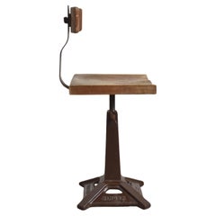
Original Antique English Vintage Singer Desk Swivel Chair
By Singer
Located in Stockbridge, GB
Antique Singer Swivel Desk Chair – D
A classic factory workers stool designed and manufactured by Singer. During the mid-nineteenth century, the Singer Company became world-famous w...
Category
Mid-20th Century British Industrial Office Chairs and Desk Chairs
Materials
Metal
You May Also Like
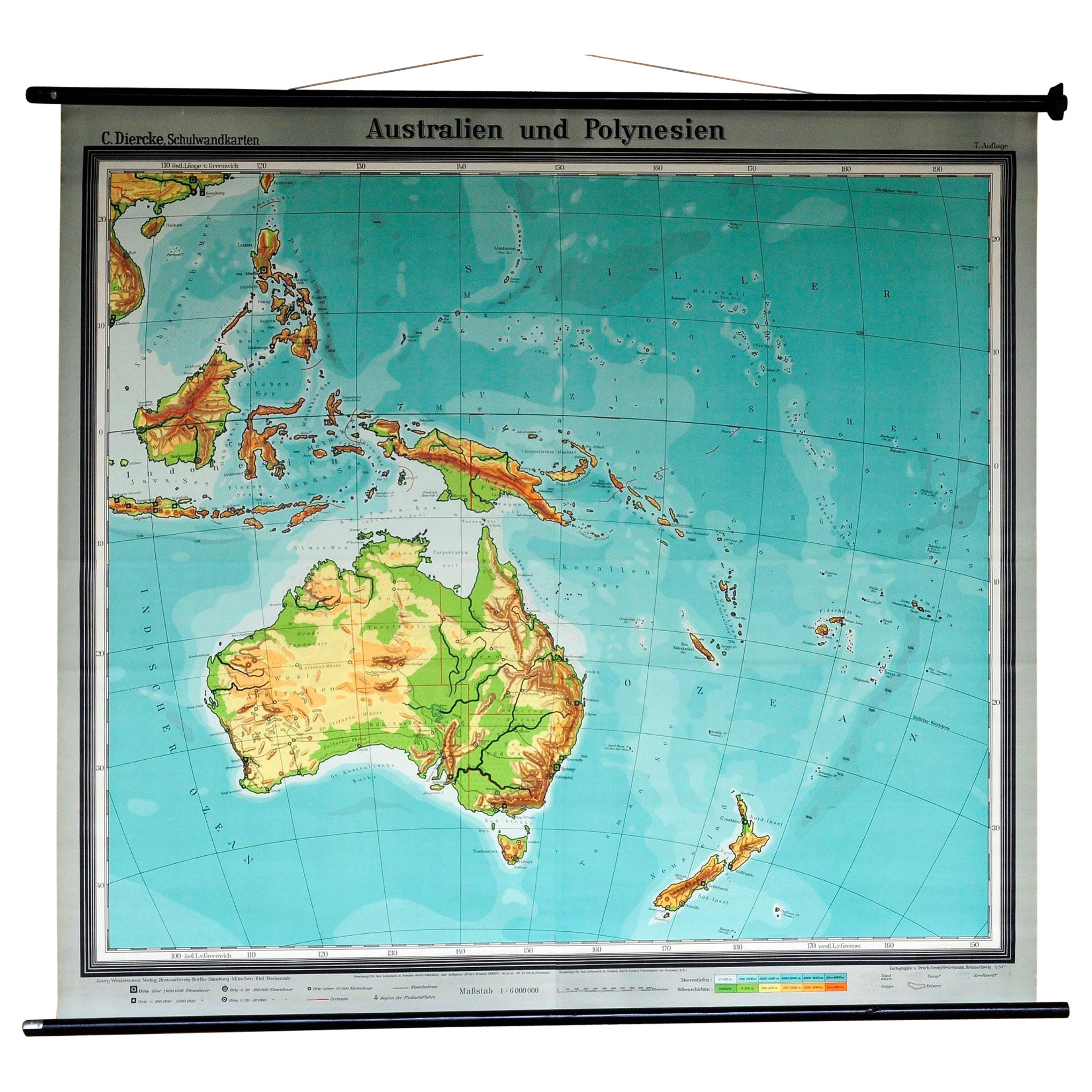
Map Mural Rollable Poster Vintage Wall Chart Australia New Zealand Polynesia
Located in Berghuelen, DE
Map Mural Rollable Poster Vintage Wall Chart Australia New Zealand Polynesia
A beautiful vintage school map illustrating the popular region of Aust...
Category
Vintage 1970s German Country Posters
Materials
Canvas, Wood, Paper

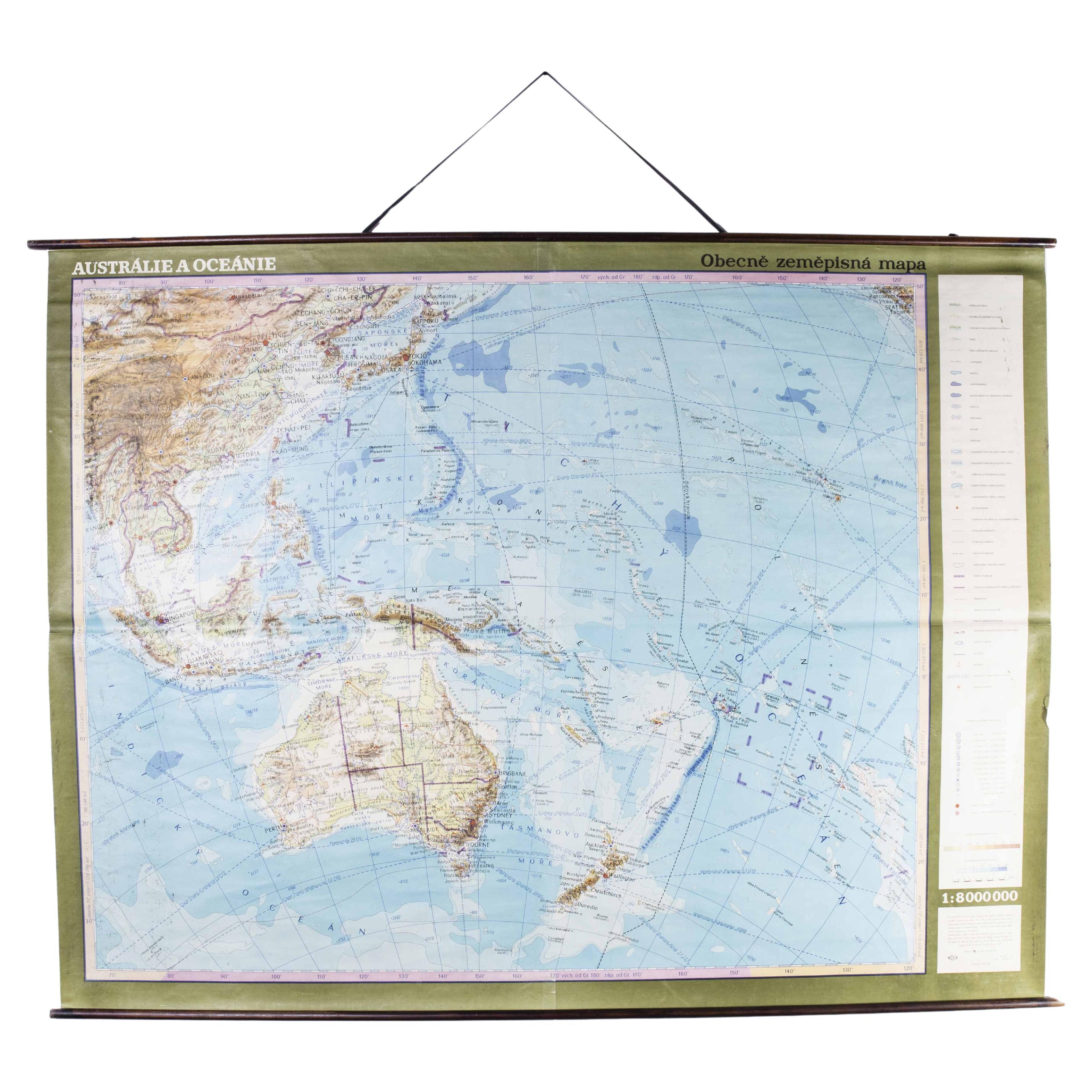
Late 20th Century Educational Geographic Map - Australasia
Located in Hook, Hampshire
Late 20th Century Educational Geographic Map – Australasia
Late 20th Century Educational Geographic Map – Australasia. Good quality roll up school educational geographic map from the...
Category
Late 20th Century Czech Posters
Materials
Cotton

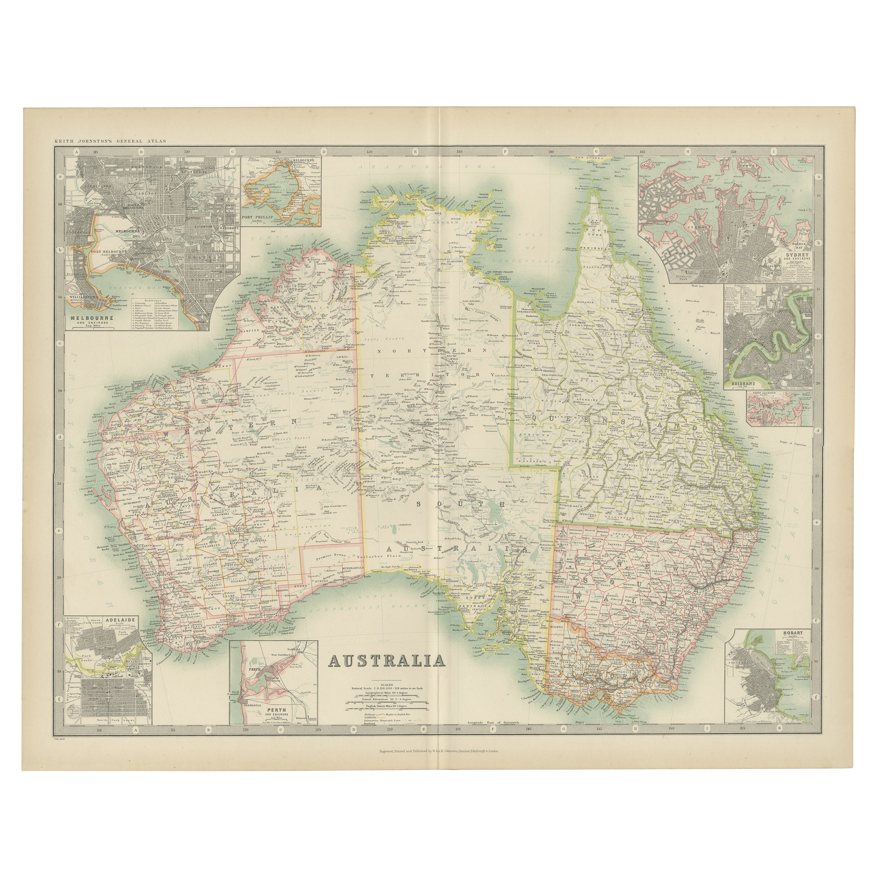
Antique Map of Australia by Johnston '1909'
Located in Langweer, NL
Antique map titled 'Australia'. Original antique map of Australia. With inset maps of Melbourne, Port Phillip, Adelaide, Perth, Sydney, Brisba...
Category
Early 20th Century Maps
Materials
Paper
$326 Sale Price
20% Off
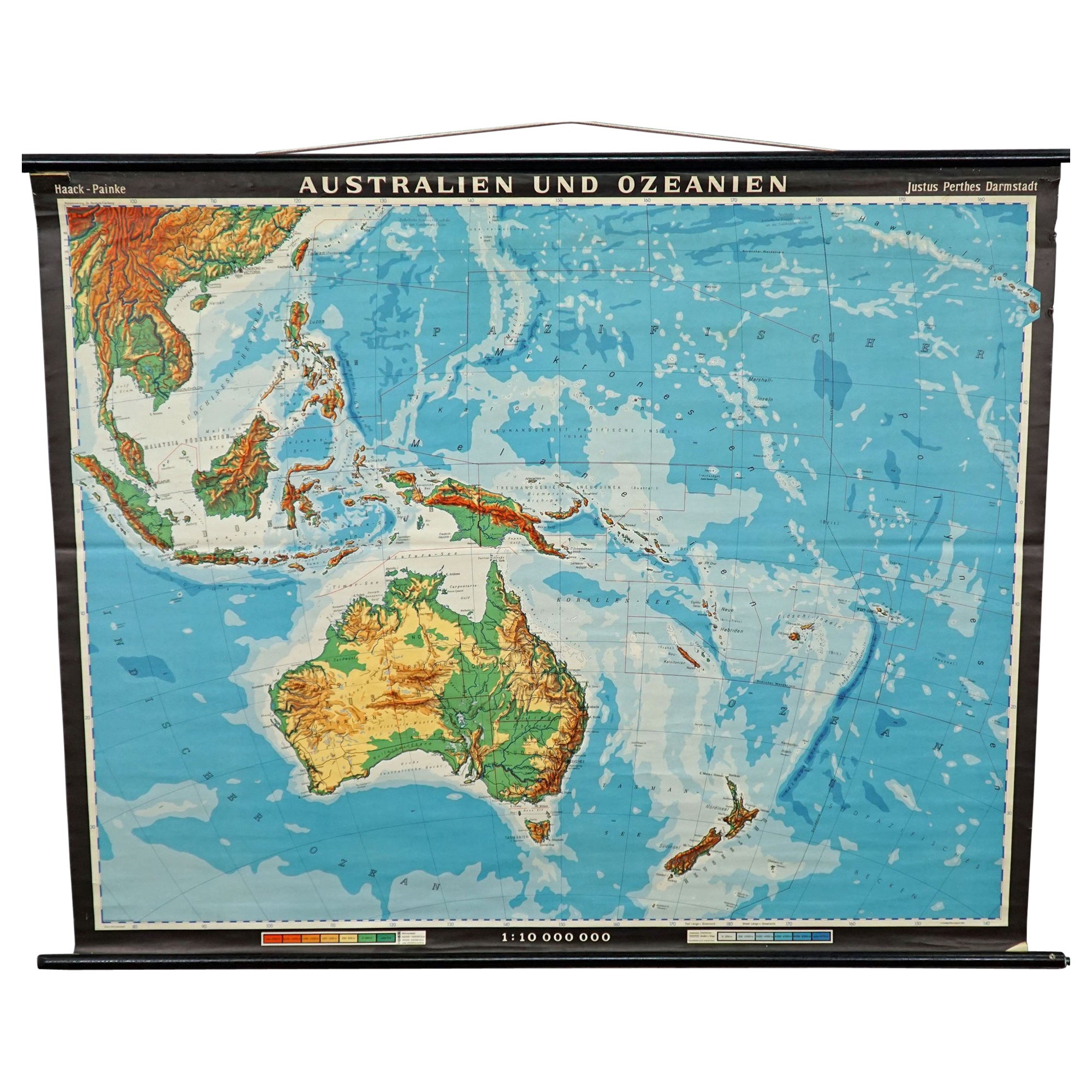
Vintage Mural Map Rollable Wall Chart Poster Australia New Zealand Indonesia
Located in Berghuelen, DE
Vintage Mural Map Rollable Wall Chart Poster Australia New Zealand Indonesia
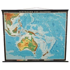
The vintage pull-down map shows Australia and Oceania, published by Haack-Painke Justus Perthes Darmstadt. Colorful print on paper reinforced with canvas.
This wallchart is a wonderful holiday memory decoration item.
Measurements:
Width 122 cm (48.03 inch)
Height 100 cm (39.37 inch)
The measurements shown refer just to the canvas and do not include the poles.
Background information on the history of school wall charts:
The idea to upgrade every day school life by using pictures was supported in the late 18th century by Johann Bernhard Basedow. In 1774 he published a four-volume book "Elementarwerk" which combined pictures, text and information with merely hundred copperplates. Modern printing methods enabled the spread from rich private schools to rural grade schools...
Category
Vintage 1970s German Country Posters
Materials
Canvas, Wood, Paper
Vintage Wall Chart of Australia, 1949
Located in Langweer, NL
Vintage wall chart of Australia and surroundings. Published by R. Bos and K. Zeeman, 1949.
Category
Mid-20th Century Prints
Materials
Paper

$698 Sale Price
25% Off
Decorative Vintage Print, Dutch Chart of Australia, 1st Edition, 1952
Located in Langweer, NL
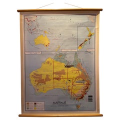
The vintage school chart of Australia titled "Australië," created by W. Bakker & H. Rush and published in 1952:
**Title**: Australië
**Creators**: W. Bakker & H. Rush
**Publication ...
Category
Mid-20th Century European Maps
Materials
Canvas
$326 Sale Price
20% Off
More Ways To Browse
Pull Down Map
The Wizard Of Oz Poster
Tiffany Cigarette Holder
To Kill A Mockingbird
Used Furniture Redmond
Vertigo Film Poster
Vertigo Poster
Vintage Anatomical Posters
Vintage Bmw Poster
Vintage Breakfast At Tiffanys Movie Poster
Vintage Easy Rider Poster 1969
Vintage Japanese Godzilla
Vintage Peugeot Poster
Vintage Red Cross Uniform
Vintage Roller Skates
Vintage Semaphore
Vintage Ski Poster Sweden
Vintage Tarzan Posters