Items Similar to Jacques Liozu's 1951 illustrated map of Australia and Oceania

Want more images or videos?
Request additional images or videos from the seller
1 of 8
Jacques LiozuJacques Liozu's 1951 illustrated map of Australia and Oceania1951
1951
$896.92
£663.26
€750
CA$1,241.21
A$1,381.36
CHF 719.17
MX$16,681.44
NOK 9,019.06
SEK 8,519.07
DKK 5,712.51
About the Item
Jacques Liozu's 1951 illustrated map of Australia and Oceania is a remarkable cartographic work that combines art and geography to offer an enchanting representation of this part of the world. Jacques Liozu, a talented French artist-cartographer, created this map with a meticulousness and attention to detail that testify to his artistic expertise.
The illustration of the map is a true work of art in itself. Liozu has used subtle colors and artistic patterns to depict the contours of land and water, as well as the different islands of Australia and Oceania. Every detail is executed with remarkable precision, creating a map that is as informative as it is aesthetically pleasing.
Beyond its practical purpose of providing geographical information, this map is an invitation to escape and adventure. It captures the essence of the region's exotic landscapes and fascinating cultures, arousing curiosity and the desire to explore.
In 1951, this map was an invaluable tool for travelers, researchers and geography enthusiasts eager to learn more about Australia and the islands of Oceania.
Today, Jacques Liozu's illustrated map of Australia and Oceania has become a sought-after collector's item for cartography enthusiasts and art lovers alike. It is a testament to Liozu's artistic talent and his ability to transform a simple geographical map into a poetic and inspiring work of art. This map continues to captivate and remind us of the importance of art in our understanding and appreciation of the world around us.
Australia - Map - Oceania
Odé Paris
- Creator:Jacques Liozu (1910 - 1974, French)
- Creation Year:1951
- Dimensions:Height: 16.15 in (41 cm)Width: 22.05 in (56 cm)
- Medium:
- Period:
- Condition:Very good condition.
- Gallery Location:PARIS, FR
- Reference Number:1stDibs: LU1792212725692
About the Seller
5.0
Platinum Seller
Premium sellers with a 4.7+ rating and 24-hour response times
Established in 2021
1stDibs seller since 2022
170 sales on 1stDibs
Typical response time: 1 hour
- ShippingRetrieving quote...Shipping from: PARIS, France
- Return Policy
Authenticity Guarantee
In the unlikely event there’s an issue with an item’s authenticity, contact us within 1 year for a full refund. DetailsMoney-Back Guarantee
If your item is not as described, is damaged in transit, or does not arrive, contact us within 7 days for a full refund. Details24-Hour Cancellation
You have a 24-hour grace period in which to reconsider your purchase, with no questions asked.Vetted Professional Sellers
Our world-class sellers must adhere to strict standards for service and quality, maintaining the integrity of our listings.Price-Match Guarantee
If you find that a seller listed the same item for a lower price elsewhere, we’ll match it.Trusted Global Delivery
Our best-in-class carrier network provides specialized shipping options worldwide, including custom delivery.More From This Seller
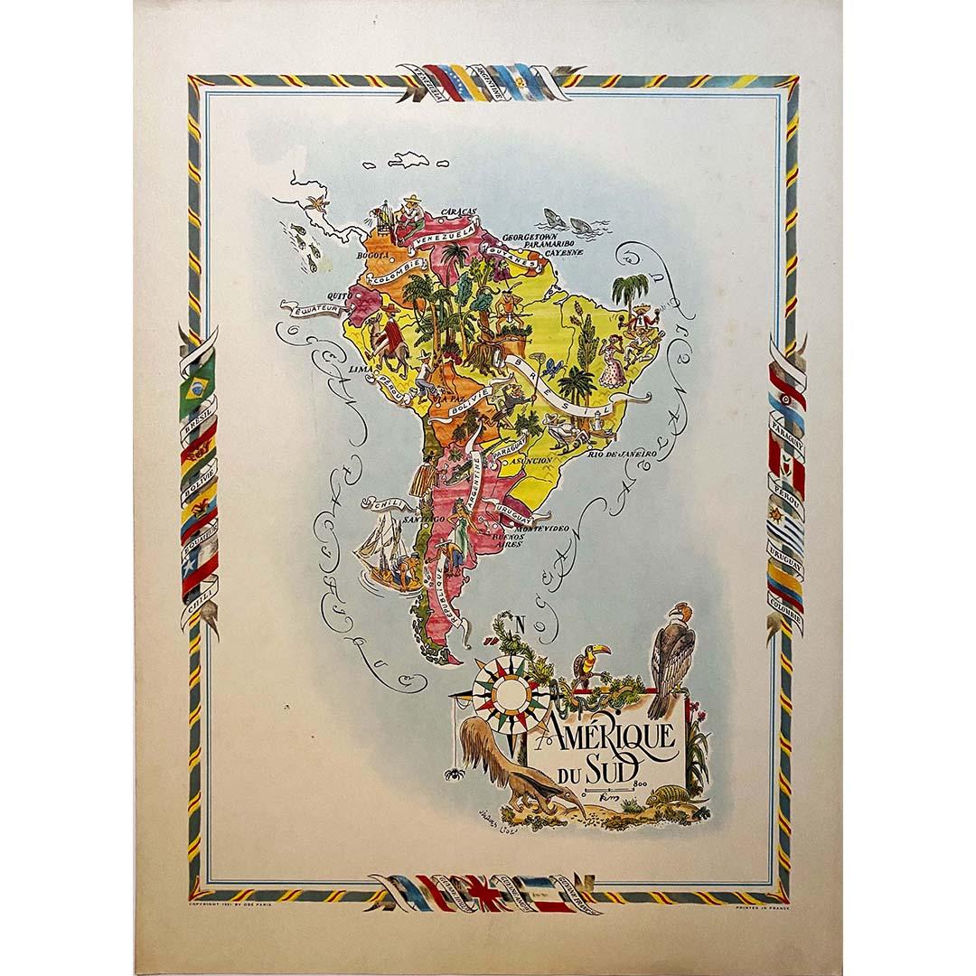
View AllJacques Liozu's 1951 illustrated map of South America
By Jacques Liozu
Located in PARIS, FR
Jacques Liozu's 1951 illustrated map of South America is an exceptional work of cartography that skilfully blends art and geography. French artist and cartographer Jacques Liozu crea...
Category
1950s Prints and Multiples
Materials
Lithograph, Paper

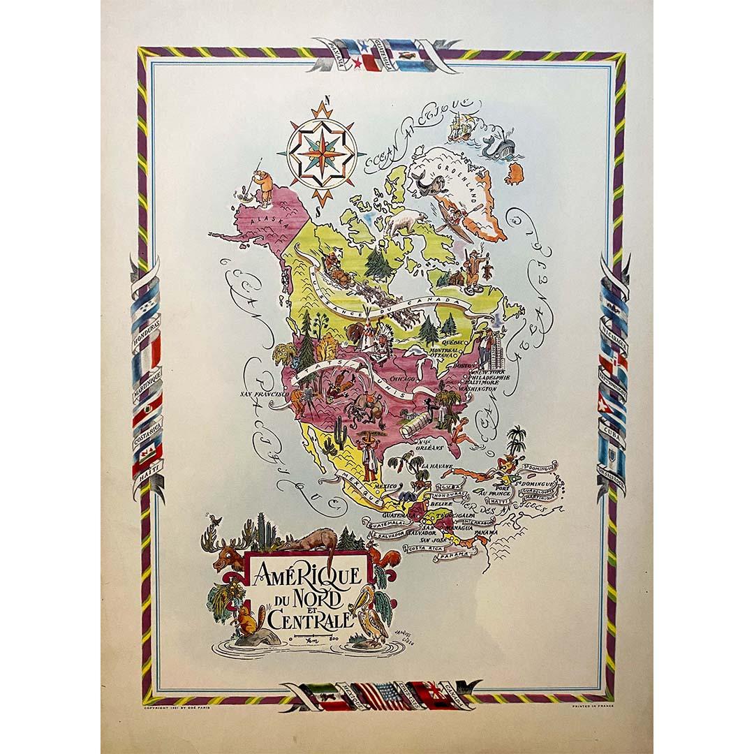
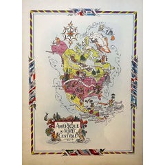
Jacques Liozu's 1951 illustrated map of North and Central America
By Jacques Liozu
Located in PARIS, FR
Jacques Liozu's 1951 illustrated map of North and Central America is an exceptional work of cartography that combines geographical precision with artistic aesthetics. Jacques Liozu, ...
Category
1950s Prints and Multiples
Materials
Lithograph, Paper
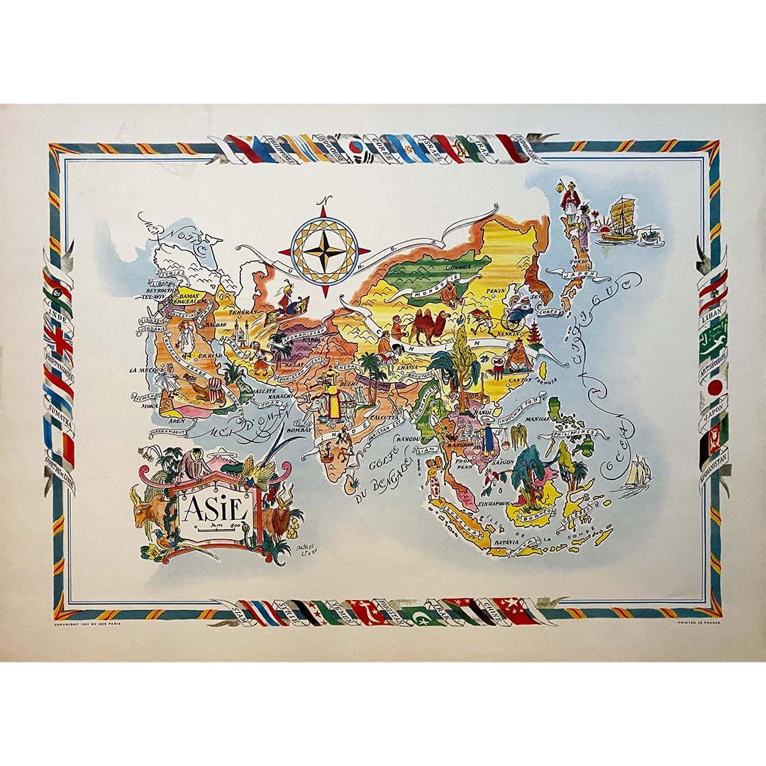
Jacques Liozu's 1951 illustrated map of Asia
By Jacques Liozu
Located in PARIS, FR
Jacques Liozu's 1951 illustrated map of Asia is an exceptional work of cartography that combines art and geography to offer a captivating vision of this vast continent. Jacques Liozu...
Category
1950s Prints and Multiples
Materials
Lithograph, Paper

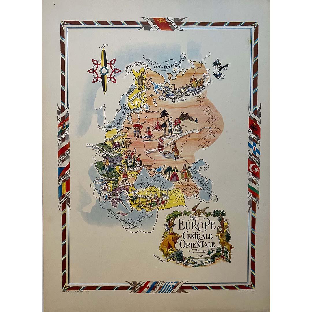
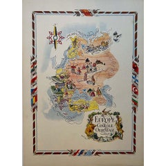
Jacques Liozu's 1951 illustrated map of Central and Eastern Europe
By Jacques Liozu
Located in PARIS, FR
Jacques Liozu's 1951 illustrated map of Central and Eastern Europe is a cartographic work of great beauty and precision. Jacques Liozu, the famous French artist-cartographer, created...
Category
1950s Prints and Multiples
Materials
Lithograph, Paper
1937 Original planisphere by Lucien boucher - World map
By Lucien Boucher
Located in PARIS, FR
Original poster
Airline Company - Map - Tourism
West - Northern - Orient - Midi
In 1937, Lucien Boucher, a renowned French illustrator, unveiled his masterpiece, the "Planisphère ...
Category
1930s Prints and Multiples
Materials
Linen, Lithograph, Paper
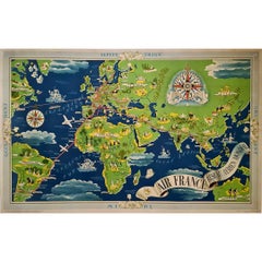
Circa 1950 Air France "Réseau Aérien Mondial" world map by Lucien Boucher
By Lucien Boucher
Located in PARIS, FR
The circa 1950 Air France "Réseau Aérien Mondial" poster, designed by French illustrator Lucien Boucher, is a vivid representation of the ai...
Category
1950s Prints and Multiples
Materials
Paper, Lithograph
You May Also Like
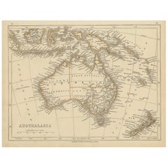
Mid-19th Century Map of Australasia by Carl Flemming - 1855
Located in Langweer, NL
Title: "Mid-19th Century Map of Australasia by Carl Flemming - 1855"
Description: This original 1855 antique map from the Sohr-Berghaus Atlas, created by Carl Flemming, is a detaile...
Category
Antique 1850s Maps
Materials
Paper

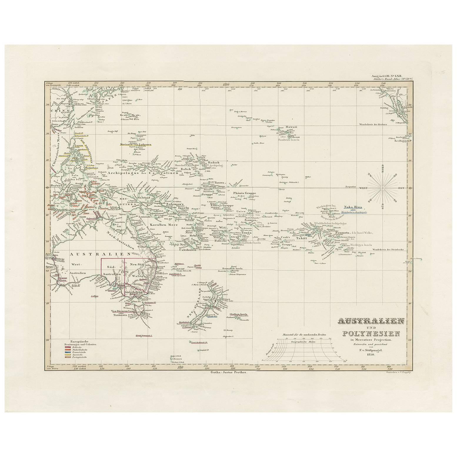
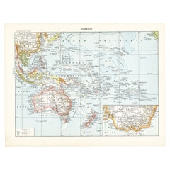
Antique Map of Australia, New Zealand and Oceania by F. von Stülpnagel, 1850
Located in Langweer, NL
Antique map titled 'Australien und Polynesien in Mercators Projection'. A map of Australia, New Zealand and Oceania. This includes Fiji, Tahiti and several other island groups in the...
Category
Antique Mid-19th Century Maps
Materials
Paper

$184 Sale Price
30% Off
Antique Map of Australia by H. Kiepert, 1875
Located in Langweer, NL
Antique map titled 'Australien'. Large and detailed map of Australia and New Zealand. With color key in lower left. The map is prepared by H. Kiepert...
Category
Antique Late 19th Century Maps
Materials
Paper

$197 Sale Price
40% Off
Antique Map of Australasia by Lowry, 1852
Located in Langweer, NL
Antique map titled 'Australasia'. Original map of Australasia. This map originates from 'Lowry's Table Atlas constructed and engraved from the most recent Authorities' by J.W. Lowry....
Category
Antique Mid-19th Century Maps
Materials
Paper
$95 Sale Price
20% Off
Old French Lithograph of Oceania with an Inset of Victoria, Australia 1897
By Pierre Larousse
Located in Langweer, NL
Sheet: Front: 'Oceanie.' (Map of Oceania). Rear: 'Oceanie.' (Oceania; native people, costume, plants, animals; crocodile, cassowary, tiger, kangeroo, platypus, lyre bird...
Category
Antique 19th Century Maps
Materials
Paper
$114 Sale Price
20% Off
Antique Map of Australia and surrounding Islands by F. von Stülpnagel, 1850
Located in Langweer, NL
Antique map titled 'Festland von Asutralien und benachbarte Inseln'. Map showing Australia, New Zealand, Southern New-Guinea and surrounding islands. This map originates from Stieler...
Category
Antique Mid-19th Century Maps
Materials
Paper

$184 Sale Price
30% Off
More Ways To Browse
Illustrated Map
Cartographer Tool
George Rodrigue Blue Dog Signed
Ballet Russe Costume
Erotic Illustration
German Expressionist Poster
Hiroshige Woodcuts
Imaginations And Objects Of The Future
Lam Wifredo
Marc Chagall Pencil Signed
Pablo Picasso Ceramic Plates
Roy Lichtenstein Signed Lithograph
Van Dyck Etching
Violin Print
Alexander Calder 1969 Lithograph
Green River Project
Retro Pop Machine
Vintage Felt Picture