
Pierre Deux's Paris Country: A Style and Source Book of the Ile-De-France
View Similar Items


1 of 4
Pierre Deux's Paris Country: A Style and Source Book of the Ile-De-France
$30List Price
About the Item
- Dimensions:Height: 10 in (25.4 cm)Width: 10 in (25.4 cm)Depth: 1 in (2.54 cm)
- Style:French Provincial (In the Style Of)
- Materials and Techniques:
- Place of Origin:
- Period:1990-1999
- Date of Manufacture:1991
- Condition:Wear consistent with age and use.
- Seller Location:Oakland Park, FL
- Reference Number:Seller: KL-0060201stDibs: LU946320325172
Authenticity Guarantee
In the unlikely event there’s an issue with an item’s authenticity, contact us within 1 year for a full refund. DetailsMoney-Back Guarantee
If your item is not as described, is damaged in transit, or does not arrive, contact us within 7 days for a full refund. Details24-Hour Cancellation
You have a 24-hour grace period in which to reconsider your purchase, with no questions asked.Vetted Professional Sellers
Our world-class sellers must adhere to strict standards for service and quality, maintaining the integrity of our listings.Price-Match Guarantee
If you find that a seller listed the same item for a lower price elsewhere, we’ll match it.Trusted Global Delivery
Our best-in-class carrier network provides specialized shipping options worldwide, including custom delivery.You May Also Like
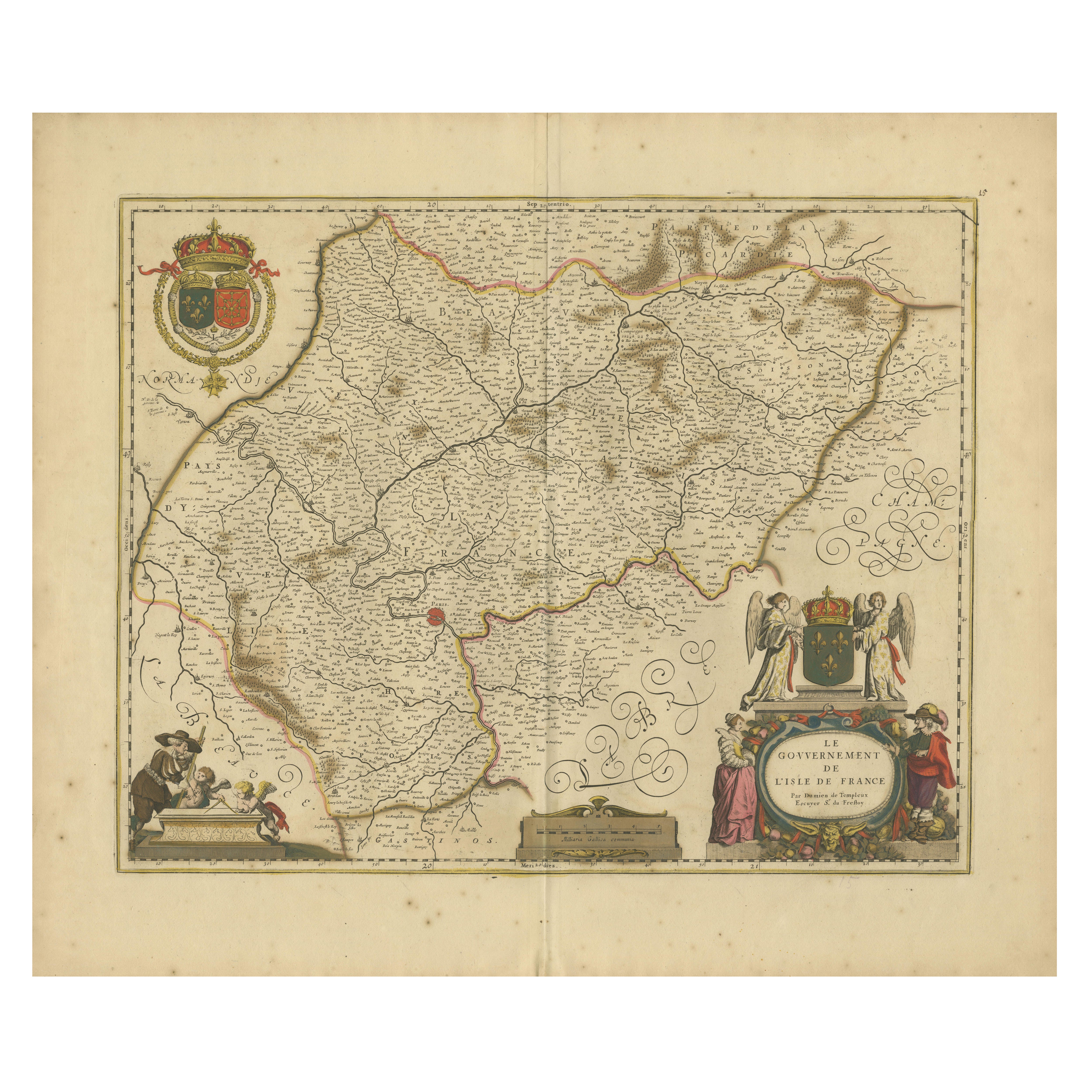
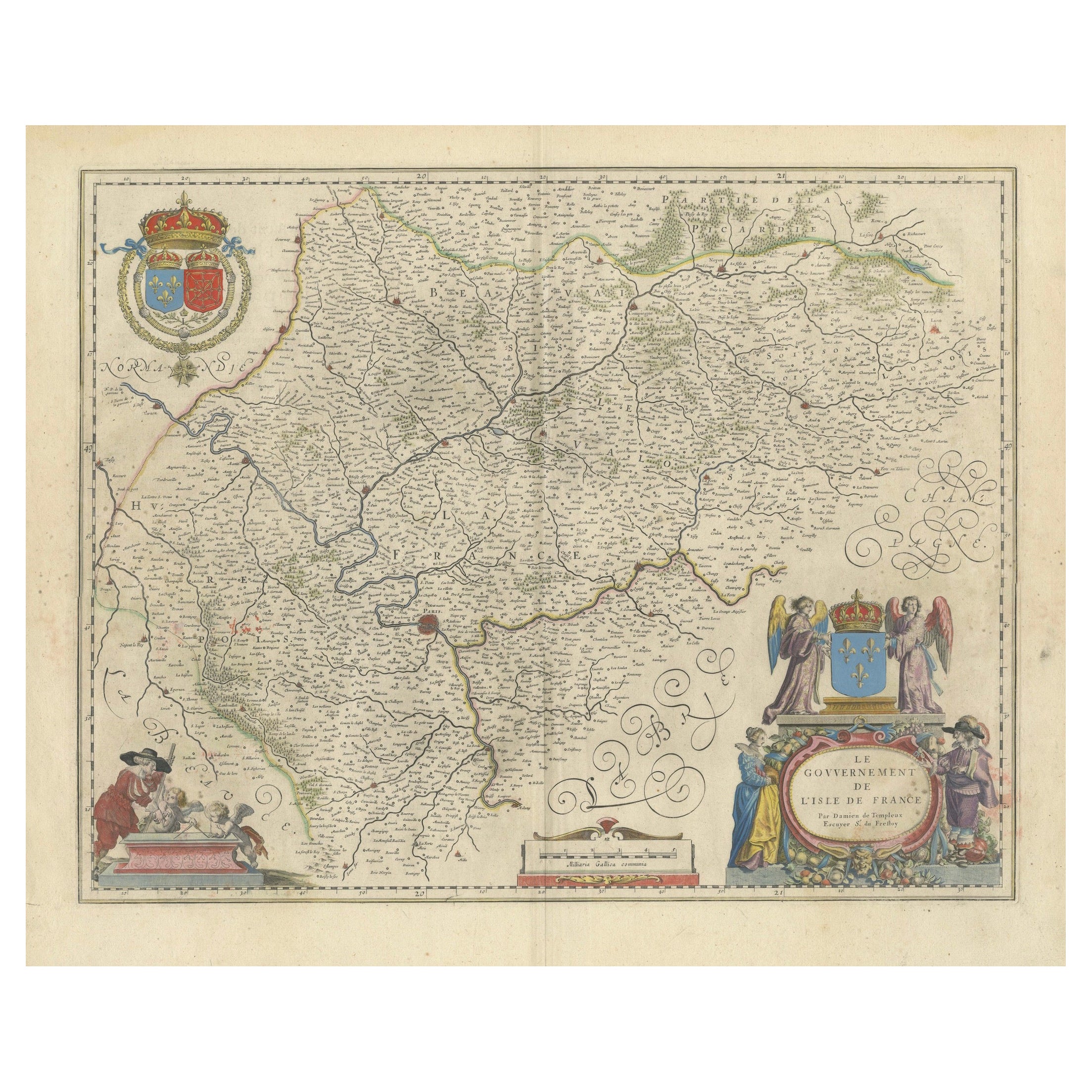
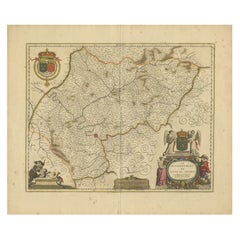
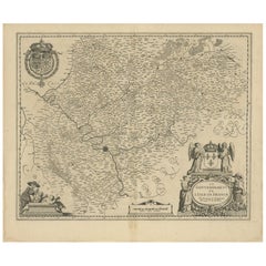
Île-de-France Map, including Paris - Hand-Colored Engraving by F. De Wit c. 1688
Located in Langweer, NL
Title: Hand-Colored 17th-Century Map of Île-de-France by Frederik De Wit c. 1688
Description: This striking map, "Le Gouvernement de l’Isle de France," showcases the Île-de-France r...
Category
Antique 1680s Maps
Materials
Paper
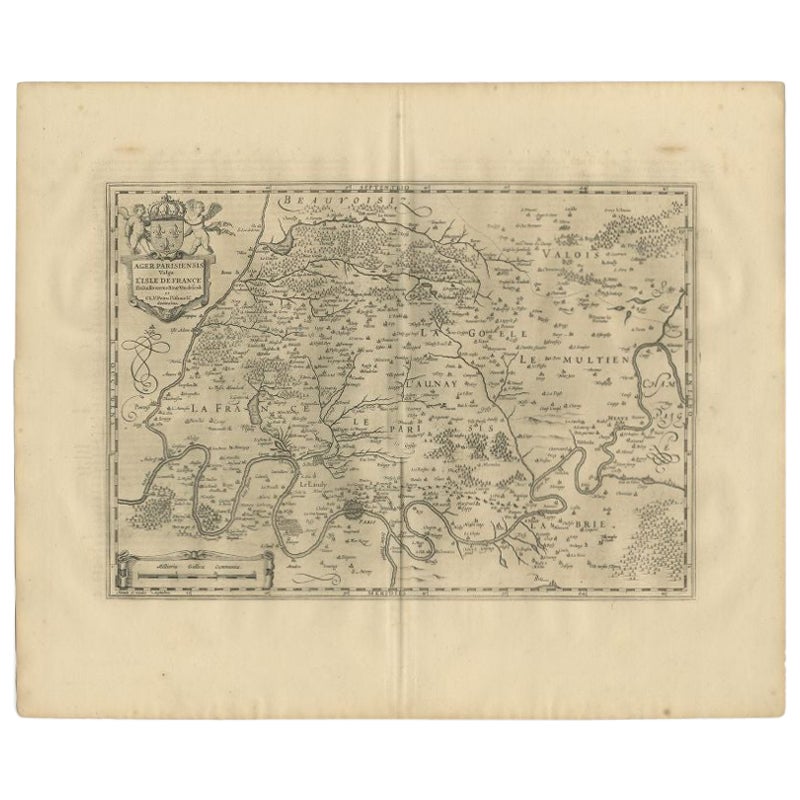
Antique Map of the Region of 'Île de France' by Janssonius, 1657
By Johannes Janssonius
Located in Langweer, NL
Antique map of France titled 'Ager Parisiensis vulgo l'Isle de France'. Old map of Paris and adjacent regions. This map originates from 'Atlas Novus, ...
Category
Antique 17th Century Maps
Materials
Paper
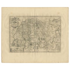
$401 Sale Price
20% Off
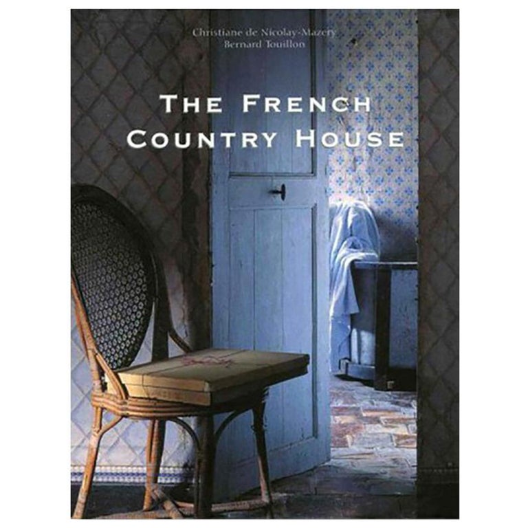
The French Country House Book by Christiane de Nicolay-Mazery & Bernard Touillon
By Christiane de Nicolay-Mazery
Located in New York, NY
The French Country House
By: Christiane de Nicolay-Mazery and Bernard Touillon
Epitomizing what the French call l’art de vivre (the art of good living), The French Country House is ...
Category
21st Century and Contemporary Books
Materials
Paper

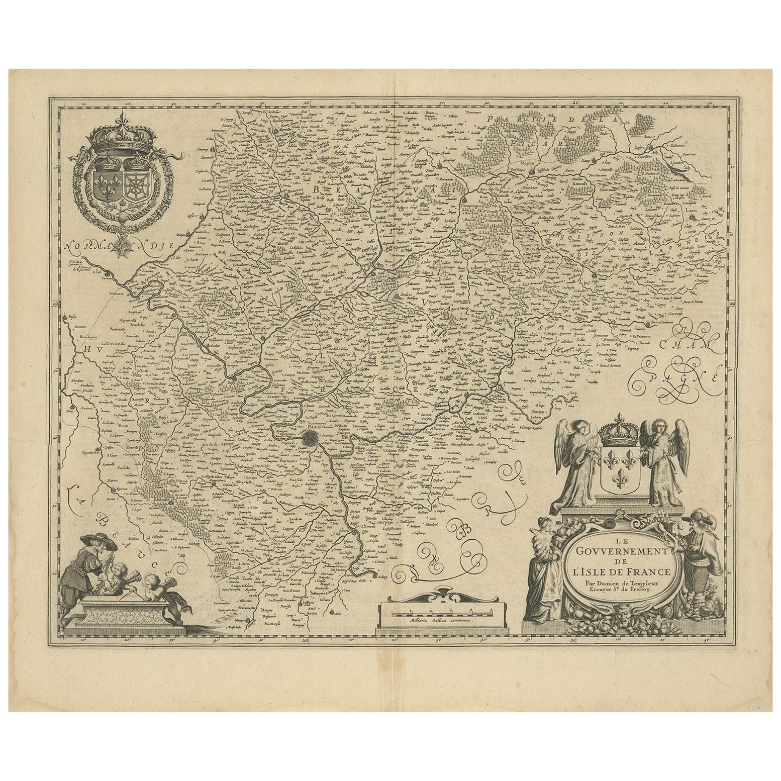
Antique Map of the Region of 'Île de France' by Janssonius, circa 1650
By Johannes Janssonius
Located in Langweer, NL
Antique map of France titled 'Le Gouvernement de L'Isle de France'. Paris is represented by a miniature plan of the city, making it distinct from the other towns of the region which ...
Category
Antique Mid-17th Century Maps
Materials
Paper
$425 Sale Price
20% Off
Antique Map of the Region of Île-de-France by Hondius, circa 1630
Located in Langweer, NL
Antique map titled Gouvernement de l'Isle de France'. Old map of the region of Île-de-France, France. It is located in the north-central part of the country and often called the régi...
Category
Antique Mid-17th Century Maps
Materials
Paper

$519 Sale Price
20% Off
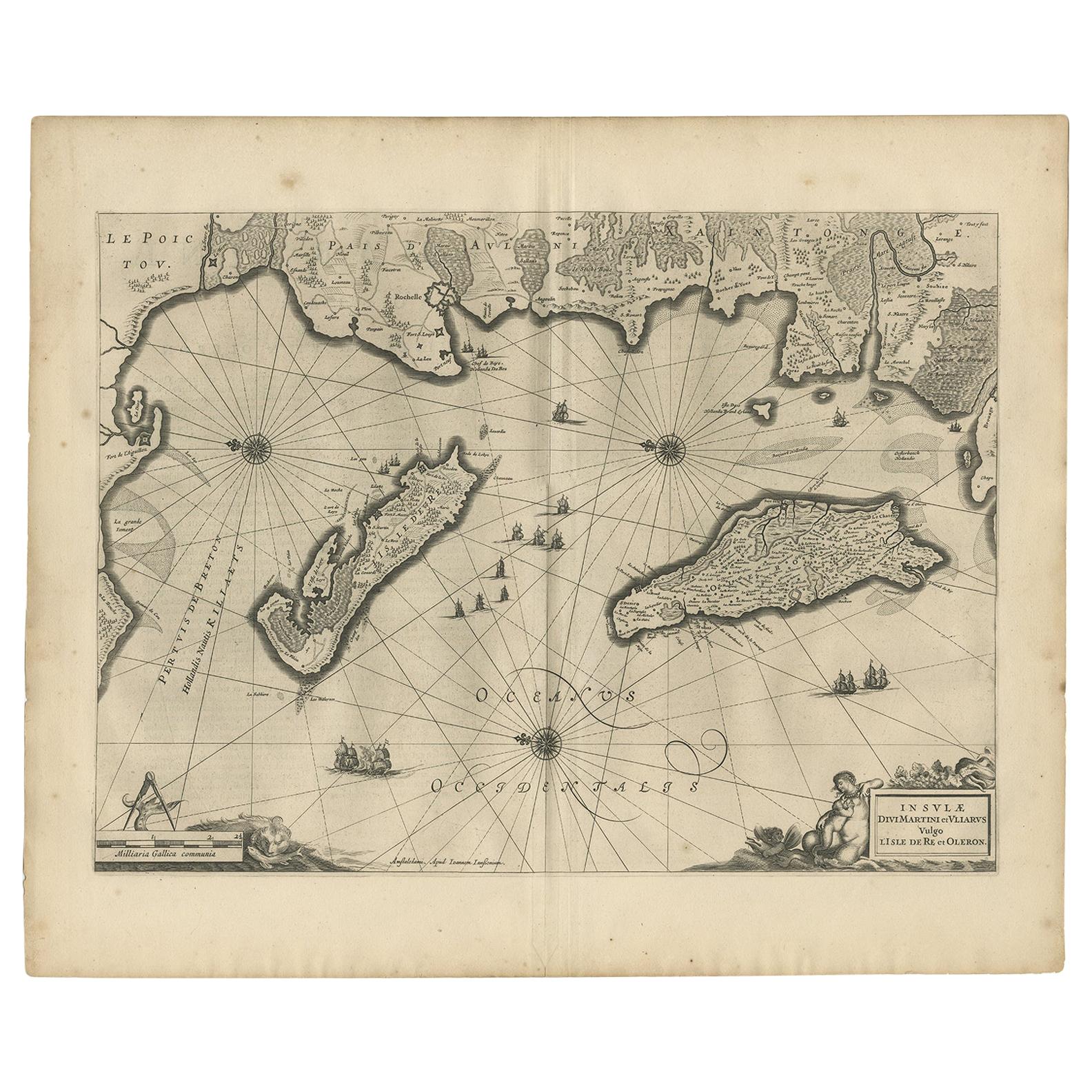
Antique Map of Île de Ré and Île d'Oléron by Janssonius, 1657
By Johannes Janssonius
Located in Langweer, NL
Antique map 'Insulae Divimartini et Vliarus vulgo l'isle de Re et Oleron'. Decorative map of Île de Ré and Île d'Oléron. This map originates from 'Atlas Novu...
Category
Antique Mid-17th Century Maps
Materials
Paper

$614 Sale Price
20% Off
Recently Viewed
View AllMore Ways To Browse
Pierre Deux French Country
Antique Leather Journal
Italian Leather Bound Book
Tooled Leather Mexican
Leather Books Spanish
Punch Books
Vintage Autograph Book
F Scott Fitzgerald
Vintage Police Collectibles
Ernest Hemingway Furniture
Versailles Book
Book Press Iron
French Bookplates
Mies Van Der Rohe Books
Victorian Christmas
Antique Bible Covers
Sumo Book
Broadway Collectibles