Items Similar to 1882 Original Antique Map of New Zealand with Inset of Auckland's Environs


Want more images or videos?
Request additional images or videos from the seller
1 of 8
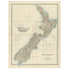
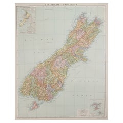
1882 Original Antique Map of New Zealand with Inset of Auckland's Environs
$299.54
£222.94
€250
CA$410.29
A$456.33
CHF 238.28
MX$5,553.07
NOK 3,043.22
SEK 2,854.01
DKK 1,903.16
Shipping
Retrieving quote...The 1stDibs Promise:
Authenticity Guarantee,
Money-Back Guarantee,
24-Hour Cancellation
About the Item
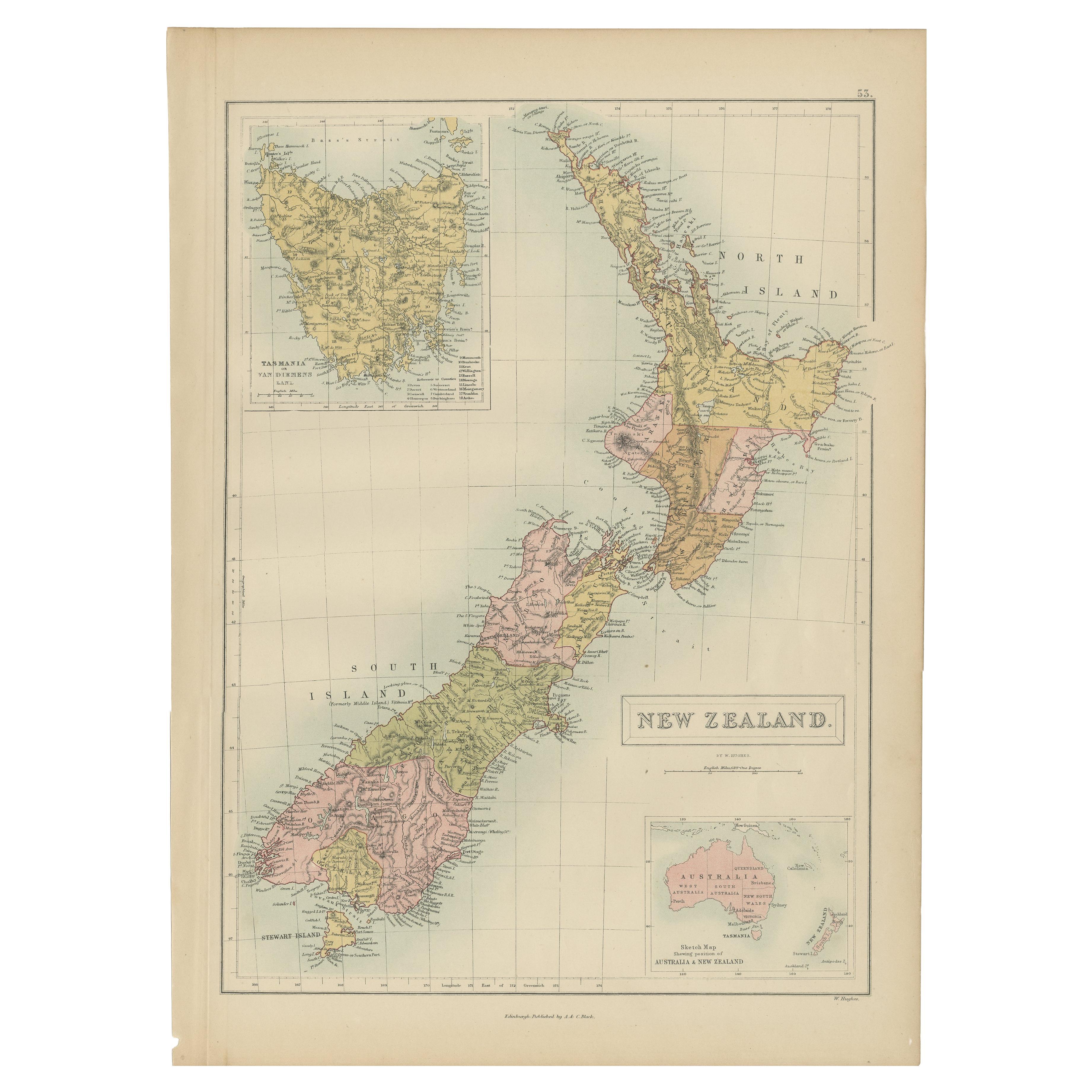
This 1882 map of New Zealand, published by Blackie and Son as part of the 'Comprehensive Atlas and Geography of the World,' provides a detailed representation of the North Island and South Island (referred to as Middle Island) of New Zealand. It highlights the country's topographical and political features during the late 19th century. The map includes major towns, settlements, and transportation routes, showcasing the development of infrastructure and urban areas at the time.
Topographical details such as mountain ranges, rivers, and coastal contours are carefully engraved. The Southern Alps and other prominent features are highlighted, reflecting the dramatic geography of the South Island. Maritime details, including coastal navigation points and surrounding islands, are also shown. An inset map of the "Environs of Auckland" offers a closer view of the region around Auckland, including harbors and smaller settlements.
The map’s subtle pastel coloring is used to differentiate regions, enhancing its aesthetic appeal while providing clarity. Its high level of detail and craftsmanship make it both a valuable historical document and an attractive display piece.
Condition report: The map is in good condition, with minor age-related toning and light spotting. The engraving remains clear, and the coloring is vibrant. There are no visible tears or repairs.
Framing tips: Use a classic wooden frame in a walnut or dark oak finish to complement the historical character. A double mat with a cream or off-white inner mat and a soft green or light beige outer mat will enhance the map’s tones. Opt for UV-protective glass to prevent fading and preserve its condition for display.
- Dimensions:Height: 22.45 in (57 cm)Width: 15.36 in (39 cm)Depth: 0 in (0.02 mm)
- Materials and Techniques:
- Period:
- Date of Manufacture:1882
- Condition:Condition report: The map is in good condition with minimal edge wear. Slight toning and occasional spotting are present, consistent with its age. The engraving remains sharp, and the colors are well-preserved. Fold line in middle, as issued.
- Seller Location:Langweer, NL
- Reference Number:Seller: BG-13601-2-751stDibs: LU3054343552792
About the Seller
5.0
Recognized Seller
These prestigious sellers are industry leaders and represent the highest echelon for item quality and design.
Platinum Seller
Premium sellers with a 4.7+ rating and 24-hour response times
Established in 2009
1stDibs seller since 2017
2,508 sales on 1stDibs
Typical response time: <1 hour
- ShippingRetrieving quote...Shipping from: Langweer, Netherlands
- Return Policy
Authenticity Guarantee
In the unlikely event there’s an issue with an item’s authenticity, contact us within 1 year for a full refund. DetailsMoney-Back Guarantee
If your item is not as described, is damaged in transit, or does not arrive, contact us within 7 days for a full refund. Details24-Hour Cancellation
You have a 24-hour grace period in which to reconsider your purchase, with no questions asked.Vetted Professional Sellers
Our world-class sellers must adhere to strict standards for service and quality, maintaining the integrity of our listings.Price-Match Guarantee
If you find that a seller listed the same item for a lower price elsewhere, we’ll match it.Trusted Global Delivery
Our best-in-class carrier network provides specialized shipping options worldwide, including custom delivery.More From This Seller
View AllAntique Map of New Zealand by G.F. Cram, 'circa 1906'
Located in Langweer, NL
Antique map titled 'New Zealand'. Large map of New Zealand with a small legend of the Chatham Islands. On the verso, a map of the North Polar regions and a map of Tasmania can be fou...
Category
20th Century Maps
Materials
Paper
$335 Sale Price
20% Off
Antique Map of New Zealand by A & C. Black, 1870
Located in Langweer, NL
Antique map titled 'New Zealand'. Original antique map of New Zealand with inset Maps of Australia, New Zealand and Tasmania. This map origi...
Category
Antique Late 19th Century Maps
Materials
Paper

$167 Sale Price
20% Off
Antique Map of New Zealand, 1903, Featuring the North and South Islands and Alps
Located in Langweer, NL
Title: Antique Map of New Zealand, 1903, Featuring the North and South Islands and the Southern Alps
Description:
This antique map, titled "New Zealand," was engraved and published ...
Category
Early 20th Century Maps
Materials
Paper
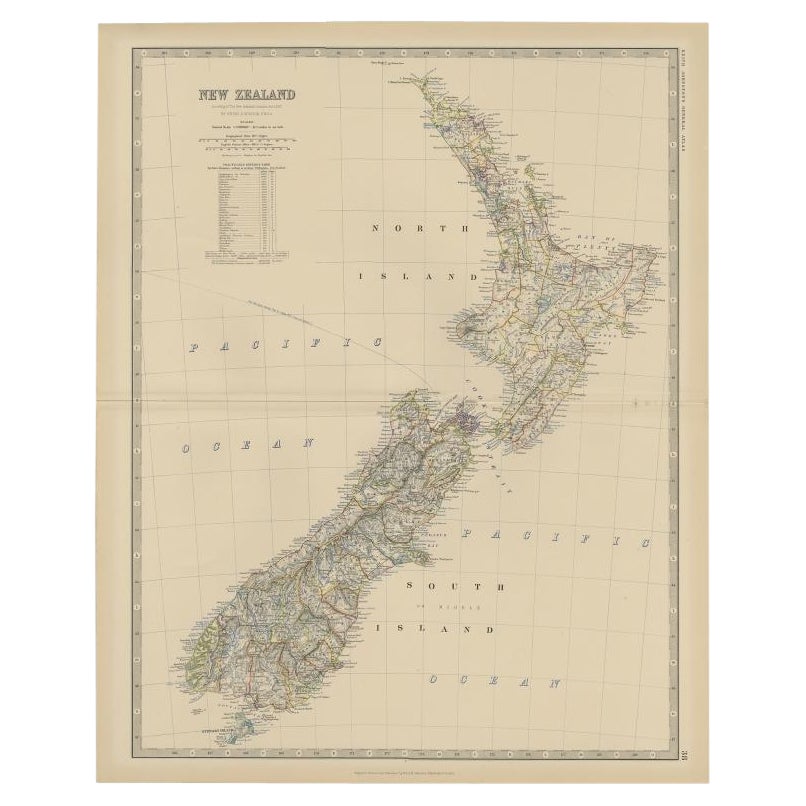
Antique Map of New Zealand by Scottish Geographer Johnston, 1882
Located in Langweer, NL
Antique map titled 'New Zealand'.
Old map of New Zealand. This map originates from 'The Royal Atlas of Modern Geography, Exhibiting, in a Series of Entirely Original and Authentic ...
Category
Antique 19th Century Maps
Materials
Paper
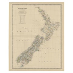
$306 Sale Price
20% Off
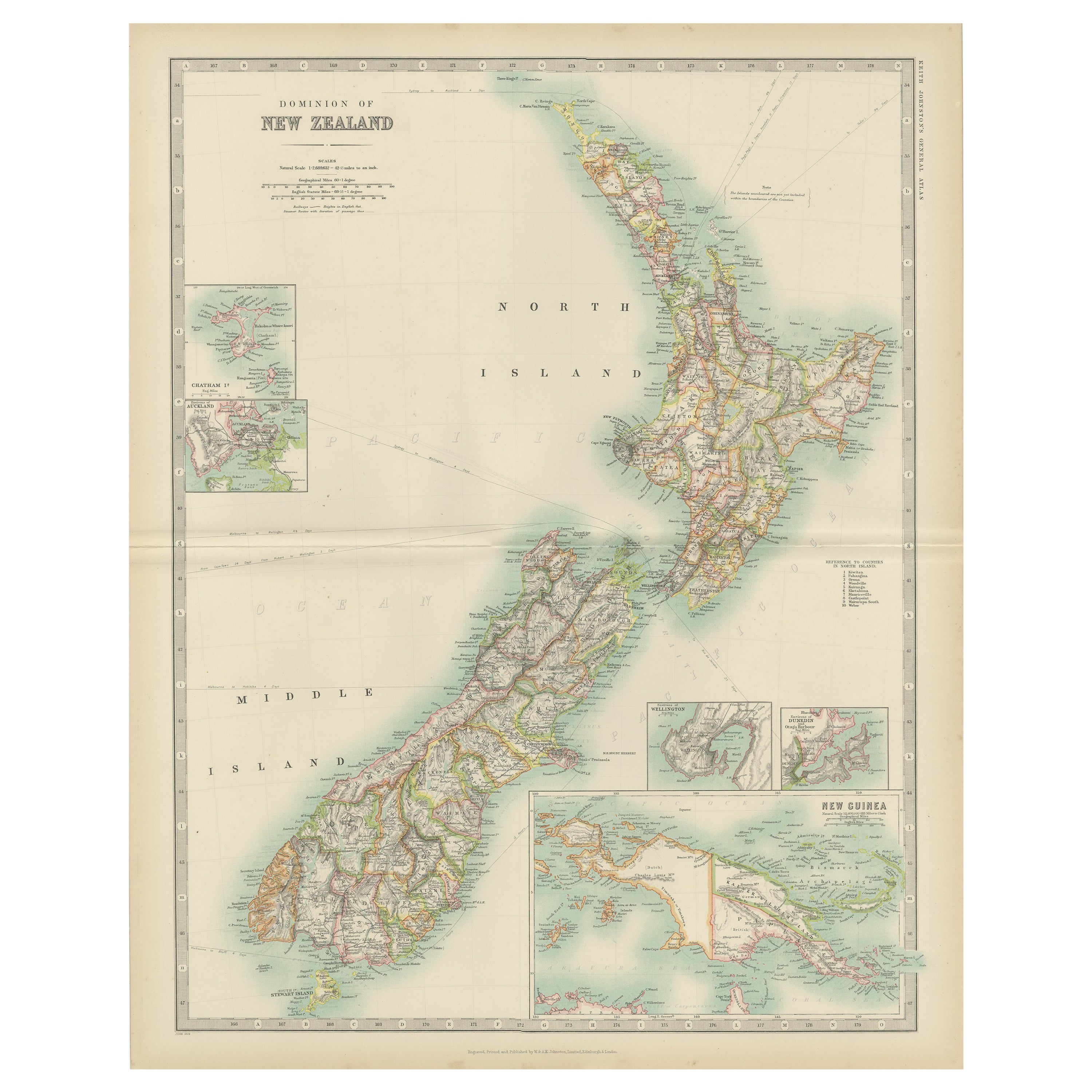
Antique Map of New Zealand by Johnston '1909'
Located in Langweer, NL
Antique map titled 'New Zealand'. Original antique map of New Zealand. With inset maps of Chatham, Auckland, Wellington, Dunedin, and New Gu...
Category
Early 20th Century Maps
Materials
Paper
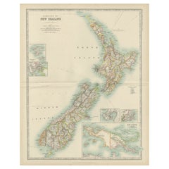
$335 Sale Price
20% Off
Antique Map of New Zealand and Tasmania, 1904
Located in Langweer, NL
This large antique map is taken from; 'Andrees Allgemeiner Handatlas in 126 Haupt-Und 139 Nebenkarten', Bielefeld; Leipzig: Velhagen & Klasing 1899. Andrees Allgemeiner Handatlas was...
Category
20th Century Maps
Materials
Paper
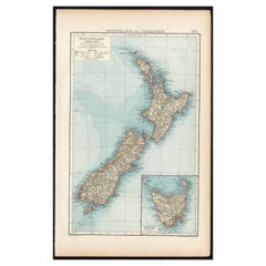
$86 Sale Price
20% Off
You May Also Like
Large Original Vintage Map of New Zealand, South Island, circa 1920
Located in St Annes, Lancashire
Great map of South Island, New Zealand
Original color.
Good condition / repair to a minor tear on right edge
Published by Alexander Gross
Unframed.
Category
Vintage 1920s English Edwardian Maps
Materials
Paper
Large Original Vintage Map of New Zealand, North Island, circa 1920
Located in St Annes, Lancashire
Great map of North Island, New Zealand
Original color.
Good condition / minor foxing to right edge
Published by Alexander Gross
Unframed.
Category
Vintage 1920s English Edwardian Maps
Materials
Paper

Original WWII Map of New Zealand - Natural & Industrial Resources in War & Peace
By "Leslie MacDonald ""Max"" Gill"
Located in London, GB
Original vintage World War Two pictorial map for New Zealand her natural and Industrial resources featuring a great illustration by the notable graphic designer, cartographer and artist MacDonald Gill (Leslie MacDonald Gill aka Max Gill...
Category
Vintage 1940s British Posters
Materials
Paper
Large Original Antique Map of Australia by Sidney Hall, 1847
Located in St Annes, Lancashire
Great map of Australia
Drawn and engraved by Sidney Hall
Steel engraving
Original colour outline
Published by A & C Black. 1847
Unframed
Free shipping.
Category
Antique 1840s Scottish Maps
Materials
Paper

Original Antique Map of US Possessions In The Pacific Ocean, C.1900
Located in St Annes, Lancashire
Fabulous map of US possessions in the Pacific Ocean
Original color.
Engraved and printed by the George F. Cram Company, Indianapolis.
Published, C.1900.
Unframed.
Free shipping.
Category
Antique 1890s American Maps
Materials
Paper

Large Original Antique Map of The Falkland Islands. 1894
Located in St Annes, Lancashire
Superb Antique map of The Falkland Islands
Published Edward Stanford, Charing Cross, London 1894
Original colour
Good condition
Unframed.
Free shipping
Category
Antique 1890s English Maps
Materials
Paper

More Ways To Browse
Historical Documents
Antique Oak Island
White Oak Island
Post Modern High Chairs
Vintage Vine Rug
Silver Metal Chair
Swedish Kilim
Vintage Scandanavian Chairs
Vintage Tropical Furniture
19th Century Red Glass
Antique French Console Table Tables
French 50s
Rusted Metal Art
Silver Bowl Large
Antique French Silk
Down Couch
Cobalt Blue Glass
Used Lighter Art