Items Similar to 1930s AM Radio Map of US, Canada, Cuba, Mexico – Stations & Frequencies

Want more images or videos?
Request additional images or videos from the seller
1 of 10
1930s AM Radio Map of US, Canada, Cuba, Mexico – Stations & Frequencies
$948.93
$1,186.1620% Off
£706.29
£882.8620% Off
€792
€99020% Off
CA$1,299.80
CA$1,624.7520% Off
A$1,445.66
A$1,807.0720% Off
CHF 754.88
CHF 943.6020% Off
MX$17,592.11
MX$21,990.1420% Off
NOK 9,640.94
NOK 12,051.1720% Off
SEK 9,041.50
SEK 11,301.8720% Off
DKK 6,029.22
DKK 7,536.5220% Off
Shipping
Retrieving quote...The 1stDibs Promise:
Authenticity Guarantee,
Money-Back Guarantee,
24-Hour Cancellation
About the Item
Title: 1930s Lewis Bros. Limited Detailed Radio Station Map of the United States and Canada – AM Stations, Call Signs, Frequencies, Vintage Advertising
Detailed Description: This vintage radio map was published in the 1930s as an advertising piece for Lewis Bros. Limited, a prominent hardware wholesaler in Montreal, Canada. The map is designed to assist in locating hundreds of AM radio stations across the United States and southern Canada, making it both a practical tool and a collector’s item for radio enthusiasts of the era.
The inclusion of Cuba and Mexico on the map, along with the accompanying list, is significant because it expands the scope of the map beyond just the United States and Canada. This additional list likely details AM radio stations located in Cuba and Mexico, providing call signs, frequencies, and station locations in the same way as for the U.S. and Canada.
The map was intended to help users locate a broad range of radio stations across North America, not just within the U.S. and Canada. The radio wave propagation patterns of AM stations allowed for long-distance listening, and stations from Cuba and Mexico were often received in parts of the U.S., especially at night when signal strength was enhanced. Including these stations made the map more comprehensive for radio enthusiasts, broadcasters, and hobbyists who wanted to tune into as many stations as possible.
The index or list next to these regions serves as a quick reference guide to identify the specific AM stations, just like the lists for U.S. and Canadian stations. It would include:
- Call signs (unique station identifiers),
- Frequencies (measured in kHz),
- Locations of the stations (cities or regions).
Including Cuba and Mexico recognizes their influence and importance in early radio broadcasting within the broader North American context.
The map features:
- A comprehensive list of radio stations with their call signs, frequencies, and locations.
- A detailed representation of U.S. and Canadian territories, showing state borders, key cities, and topographical elements.
- Red overprinting that highlights the various time zones (Pacific, Mountain, Central, and Eastern) and stations on the map.
- An inset map of North America for a broader geographic perspective, with red lines indicating radio transmission ranges.
- Extensive station listings along the sides and bottom of the map, printed in a clear, readable font.
- A blank verso, indicating it was likely designed as a poster or display piece.
The map measures approximately [include dimensions if available] and is printed on high-quality, durable paper. It includes promotional content such as "Compliments of Lewis Bros. Limited Département de Radio, Montreal," and offers a unique blend of advertising history and broadcasting heritage.
This rare and highly collectible piece provides a snapshot of the radio boom in the early 20th century and is perfect for collectors of vintage maps, advertising memorabilia, or radio history.
Keywords: 1930s, Lewis Bros. Limited, vintage map, radio station map, AM radio, call signs, frequencies, vintage advertising, Montreal, radio history, broadcasting, radio stations, United States, Canada, North America, vintage collectible, radio memorabilia, radio ephemera, antique map, time zones map, vintage poster, cuba, mexico, caribbean.
- Dimensions:Height: 27.41 in (69.6 cm)Width: 33.51 in (85.1 cm)Depth: 0 in (0.02 mm)
- Materials and Techniques:
- Period:
- Date of Manufacture:circa 1930
- Condition:Repaired: archival repairs to a few small edge tears and numerous short fold separations with some minor loss at the fold junctions. Fair condtion. Issued folding with archival repairs to a few small edge tears and numerous short fold separations with some minor loss at the fold junctions. There is some faint offsetting and light creasing along the top sheet edge.
- Seller Location:Langweer, NL
- Reference Number:1stDibs: LU3054341834982
About the Seller
5.0
Recognized Seller
These prestigious sellers are industry leaders and represent the highest echelon for item quality and design.
Platinum Seller
Premium sellers with a 4.7+ rating and 24-hour response times
Established in 2009
1stDibs seller since 2017
2,508 sales on 1stDibs
Typical response time: <1 hour
- ShippingRetrieving quote...Shipping from: Langweer, Netherlands
- Return Policy
Authenticity Guarantee
In the unlikely event there’s an issue with an item’s authenticity, contact us within 1 year for a full refund. DetailsMoney-Back Guarantee
If your item is not as described, is damaged in transit, or does not arrive, contact us within 7 days for a full refund. Details24-Hour Cancellation
You have a 24-hour grace period in which to reconsider your purchase, with no questions asked.Vetted Professional Sellers
Our world-class sellers must adhere to strict standards for service and quality, maintaining the integrity of our listings.Price-Match Guarantee
If you find that a seller listed the same item for a lower price elsewhere, we’ll match it.Trusted Global Delivery
Our best-in-class carrier network provides specialized shipping options worldwide, including custom delivery.More From This Seller
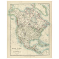
View AllExplore North America in 1903 - Intricately Detailed Antique Map
Located in Langweer, NL
North America, 1903 - A Colorful Historical Map with Detailed Borders
This attractive map of North America was engraved, printed, and published by W. & A.K. Johnston in 1903. A wond...
Category
Early 20th Century Maps
Materials
Paper
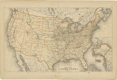
1874 Map of the United States with Territorial Boundaries
Located in Langweer, NL
Title: 1874 Map of the United States with Territorial Boundaries
Description: This is an 1874 map titled "Map of the United States," showcasing the country during a period of rapid ...
Category
Antique 1870s Maps
Materials
Paper
$249 Sale Price
20% Off
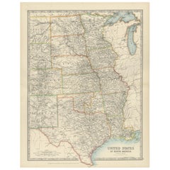
Map of United States Central Sheet 1903 – Railroads, States, and Topography
Located in Langweer, NL
Map of United States Central Sheet 1903 – Railroads, States, and Topography
This is a finely engraved and beautifully colored map titled "United States of North America (Central She...
Category
Early 20th Century Maps
Materials
Paper
Rare 1864 Civil War Era Map of North America with Detailed Borders
Located in Langweer, NL
Title: Rare 1864 Civil War Era Map of North America with Detailed Borders
Description: This remarkable antique map, titled "Johnson's North America," was published in 1864 by Johnso...
Category
Antique 1860s Maps
Materials
Paper

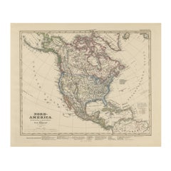
United States, Canada & Mexico – 1857 North America Map
Located in Langweer, NL
North America Map – United States, Canada, Mexico 1857
This impressive antique print shows “Nord-America” meaning “North America,” published in 1857 by Justus Perthes in Gotha as pa...
Category
Antique Mid-19th Century German Maps
Materials
Paper
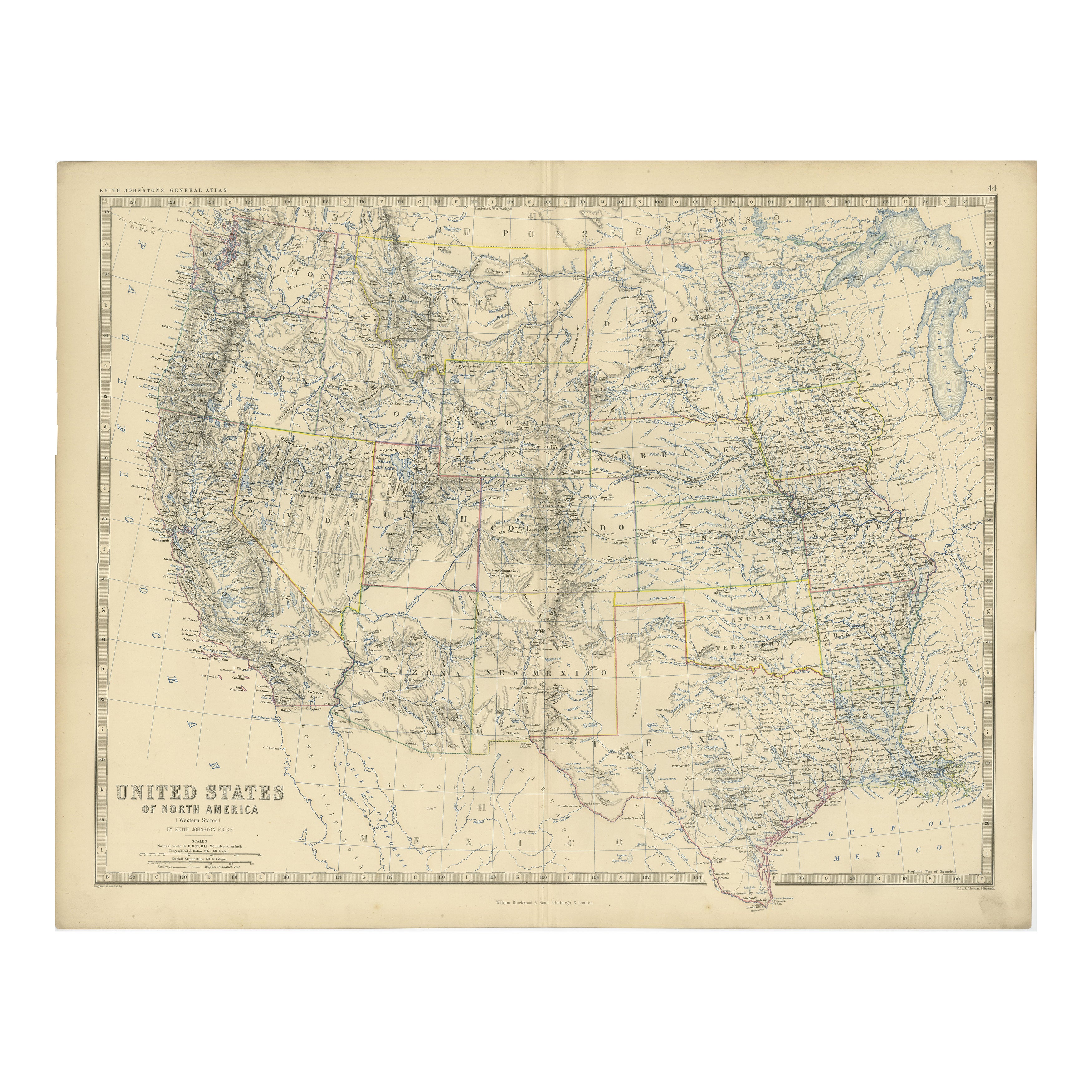
1874 Map of Western United States – Detailed Atlas by Keith Johnston
Located in Langweer, NL
1874 Map of Western United States by Keith Johnston – Detailed Atlas
This is an original antique map titled “United States of North America (Western States)” by Alexander Keith John...
Category
Antique 1870s Scottish Maps
Materials
Paper

You May Also Like
North America. Century Atlas antique vintage map
Located in Melbourne, Victoria
'The Century Atlas. North America'
Original antique map, 1903.
Central fold as issued. Map name and number printed on the reverse corners.
Sheet 40cm by 29.5cm.
Category
Early 20th Century Victorian More Prints
Materials
Lithograph

Large Original Vintage Map of North America, circa 1920
Located in St Annes, Lancashire
Great map of North America
Original color. Good condition
Published by Alexander Gross
Unframed.
Category
Vintage 1920s English Edwardian Maps
Materials
Paper

1939 "A Good-Natured Map of the United States" by Greyhound
Located in Colorado Springs, CO
Presented is an original 1939 map, titled “A Good-Natured Map of the United States Setting Forth the Services of the Greyhound Lines and a Few Principal Connecting Bus Lines.” This brightly colored pictographic map was one of several similar United States maps...
Category
Vintage 1930s American Art Deco Maps
Materials
Paper

University Chart “Black Map of North America
Located in Godshill, Isle of Wight
University Chart “Black Map of North America
W&A K Johnston’s Charts of Physical Maps By G W Bacon,
This is a Black Physical map of North A...
Category
Early 20th Century Industrial Maps
Materials
Linen

Large Vintage Maps of the United States, in 3 Sections, 1920
Located in St Annes, Lancashire
Great maps of the USA in 3 sections
Unframed
Original color
By John Bartholomew and Co. Edinburgh Geographical Institute
Published, circa 1920
The measurements given is for just...
Category
Vintage 1920s British Maps
Materials
Paper

Large Original Antique Map of the United States of America. 1891
By Rand McNally & Co.
Located in St Annes, Lancashire
Fabulous map of The United States
Original color
By Rand, McNally & Co.
Dated 1891
Unframed
Free shipping.
Category
Antique 1890s American Maps
Materials
Paper

More Ways To Browse
Vintage Poster Canada
The Vintage Map
Mexican Hardware
1930s Mexican Furniture
Red Vintage Radio
Canadian Pacific Poster
Coffee Tables Europe
Marble Top Dining Tables
Nordiska Argentina
Pink And Black Rug
Black Wooden Chair
Orrefors Embassy
Black Ebonized
Elios Chair
Panache Designs
Plata Lappas
Red Retro Dining Set
Antique Bouquet