Items Similar to Antique Celestial Star Map – Northern & Southern Hemispheres, 1860
Want more images or videos?
Request additional images or videos from the seller
1 of 10
Antique Celestial Star Map – Northern & Southern Hemispheres, 1860
$582.76
£433.63
€490
CA$800.68
A$893.63
CHF 470.15
MX$10,855.15
NOK 5,960.28
SEK 5,578.07
DKK 3,730.18
About the Item
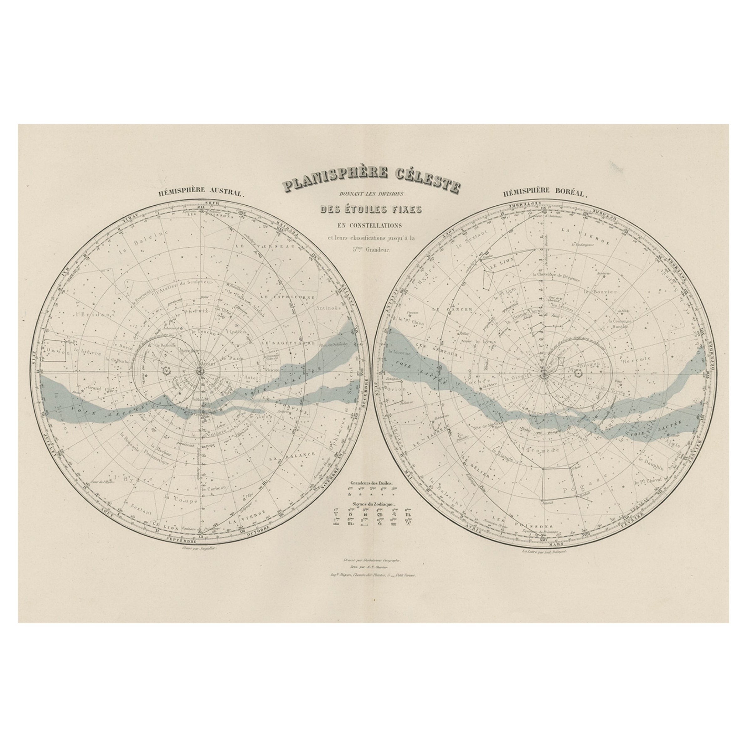
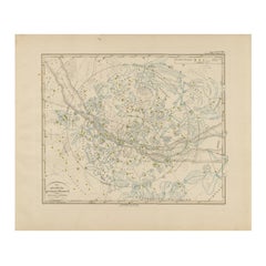
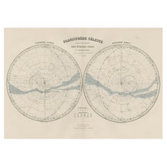
Antique Celestial Star Map – Northern & Southern Hemispheres, Andriveau-Goujon 1860
This elegant antique celestial chart, published in Paris in 1860 by the noted French cartographer E. Andriveau-Goujon, presents a comprehensive view of the fixed stars and constellations of both hemispheres. Titled "Les Étoiles Fixes divisées en Constellations Boréales et Australes," the chart is based on the authoritative catalogue of Sir Francis Baily, then President of the Astronomical Society of London.
At the top of the sheet, two large circular projections illustrate the night sky as seen from the Northern (Hémisphère Boréal) and Southern (Hémisphère Austral) Hemispheres. Each constellation is delicately labeled in French, and dotted lines connect the stars to form mythological and natural figures, including Orion, La Grande Ourse, Le Scorpion, and Le Centaure. The band of the Milky Way (“Voie Lactée”) is softly shaded in pale blue, snaking through both sky charts.
Below these polar views is a horizontal equatorial band showing constellations near the celestial equator, including the full zodiac belt from La Balance (Libra) to Les Gémeaux (Gemini). This section enhances the map’s educational value by illustrating the path of the Sun through the constellations during the year.
This chart is a superb example of 19th-century scientific publishing, combining precise copperplate engraving with hand-colored detail. The data reflects one of the most accurate stellar catalogues of its time. As both a scientific reference and decorative object, this piece remains highly desirable to collectors of antique astronomy and celestial cartography.
Condition: Good condition overall. Slight toning and a few light foxing marks, mainly in the margins. Strong plate impression and clean paper without tears or repairs. Original hand coloring to the Milky Way remains clear and delicate. Folding line as issued.
Framing tips: Best displayed in a dark wood or black frame with a white or light ivory mount. A circular double mat emphasizing the twin hemispheres would enhance the astronomical elegance of the piece.
Technique: Copperplate engraving with hand coloring
Maker: E. Andriveau-Goujon, Paris, 1860
- Dimensions:Height: 20.91 in (53.1 cm)Width: 27.64 in (70.2 cm)Depth: 0.01 in (0.2 mm)
- Materials and Techniques:Paper,Engraved
- Place of Origin:
- Period:
- Date of Manufacture:1860
- Condition:Good condition overall. Slight toning and a few light foxing marks, mainly in the margins. Strong plate impression and clean paper without tears or repairs. Original hand coloring to the Milky Way remains clear and delicate. Folding line as issued.
- Seller Location:Langweer, NL
- Reference Number:Seller: BG-14099-11stDibs: LU3054346184882
About the Seller
5.0
Recognized Seller
These prestigious sellers are industry leaders and represent the highest echelon for item quality and design.
Platinum Seller
Premium sellers with a 4.7+ rating and 24-hour response times
Established in 2009
1stDibs seller since 2017
2,567 sales on 1stDibs
Typical response time: <1 hour
- ShippingRetrieving quote...Shipping from: Langweer, Netherlands
- Return Policy
Authenticity Guarantee
In the unlikely event there’s an issue with an item’s authenticity, contact us within 1 year for a full refund. DetailsMoney-Back Guarantee
If your item is not as described, is damaged in transit, or does not arrive, contact us within 7 days for a full refund. Details24-Hour Cancellation
You have a 24-hour grace period in which to reconsider your purchase, with no questions asked.Vetted Professional Sellers
Our world-class sellers must adhere to strict standards for service and quality, maintaining the integrity of our listings.Price-Match Guarantee
If you find that a seller listed the same item for a lower price elsewhere, we’ll match it.Trusted Global Delivery
Our best-in-class carrier network provides specialized shipping options worldwide, including custom delivery.More From This Seller
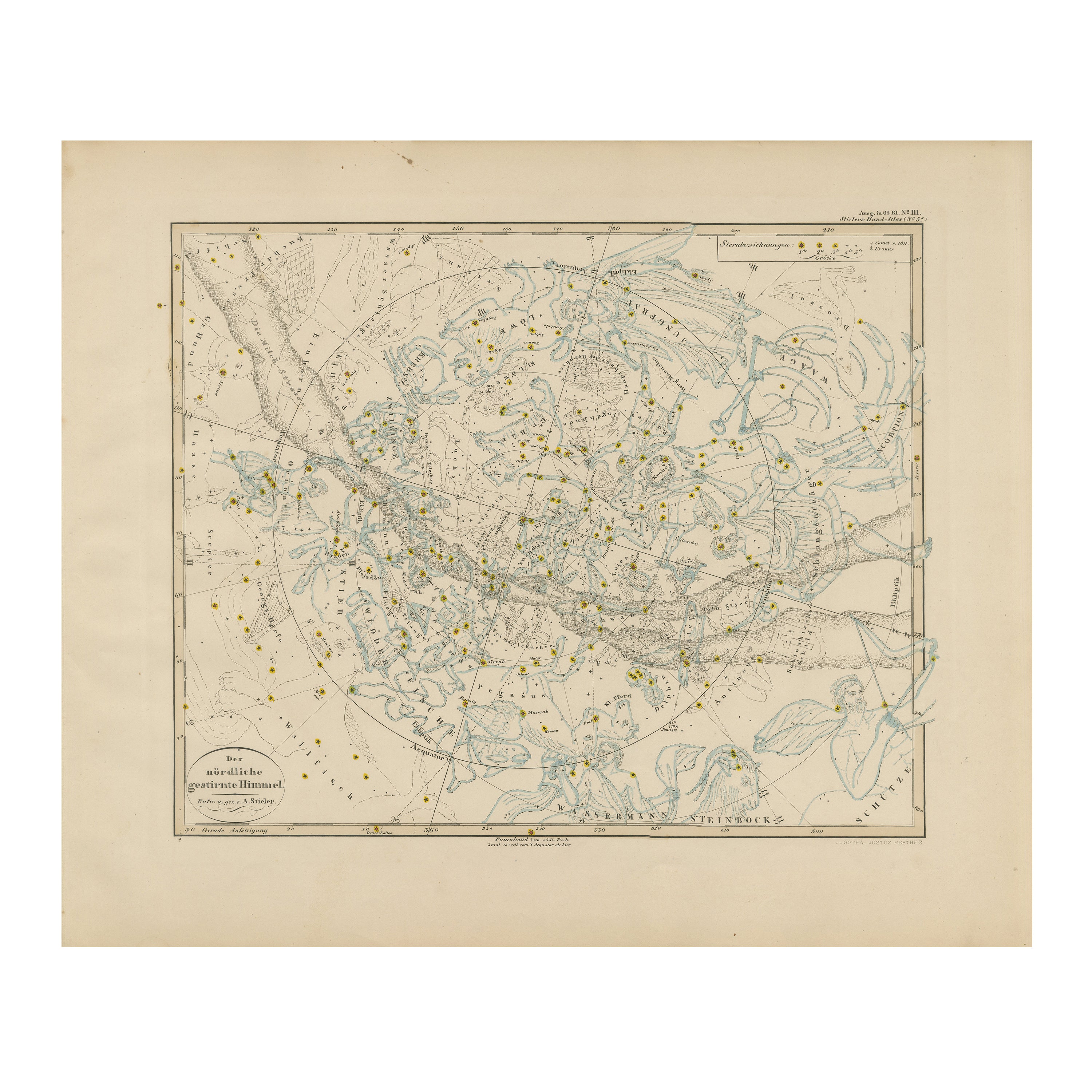
View AllNorthern Hemisphere Star Map – Constellations & Astronomical Chart, c.1858
Located in Langweer, NL
Northern Hemisphere Star Map – Constellations & Astronomical Chart c.1858
This attractive antique print shows the northern starry sky titled “Der nördliche gestirnte Himmel”, meanin...
Category
Antique Mid-19th Century German Maps
Materials
Paper
Antique Map of the Night Skies of the Northern and Southern Hemispheres, 1880
Located in Langweer, NL
Antique world map titled 'Planisphère en Céleste'.
This map depicts the night skies of both the northern and southern hemispheres. This map originates from 'Géographie Universell...
Category
Antique 1880s Maps
Materials
Paper
$275 Sale Price
20% Off
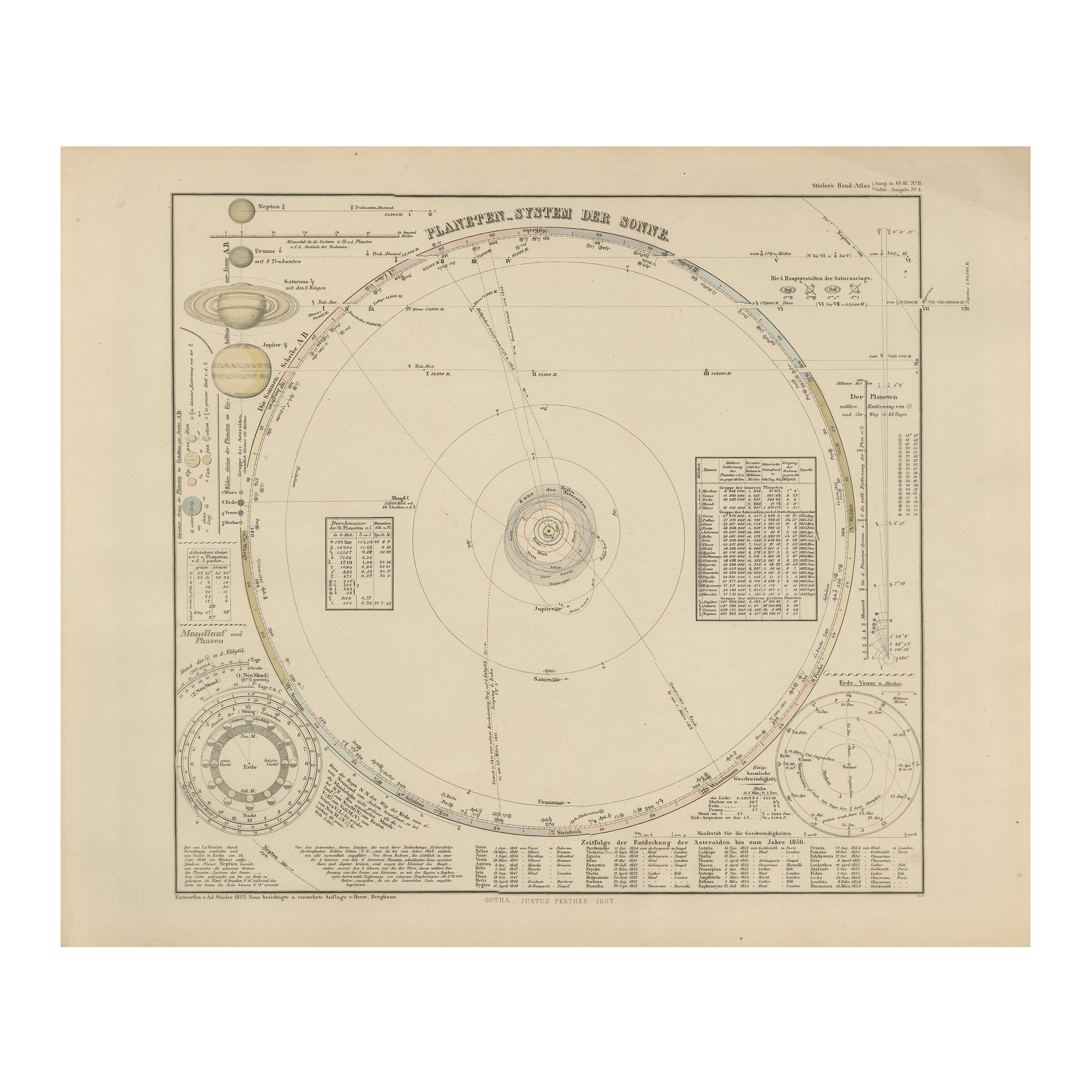
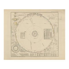
Solar System Map – Planetary Orbits and Data Chart, Published in 1857
Located in Langweer, NL
Solar System Map – Planetary Orbits and Data Chart 1857
This antique print shows a detailed diagram of the solar system titled “Planeten-System der Sonne” meaning “Planetary System ...
Category
Antique Mid-19th Century German Maps
Materials
Paper
Antique Hemisphere Map of the World 'Two on One Sheet' by Levasseur, '1875'
Located in Langweer, NL
Antique map titled 'Mappemonde projetée sur l'Horizon de Paris et de son Antipode - Mappemonde sur la projection polaire'. Large map with two hemisphere world maps...
Category
Antique Late 19th Century Maps
Materials
Paper

$327 Sale Price
44% Off
Antique Map of the World in Hemispheres by Johnson, '1872'
Located in Langweer, NL
Antique map titled 'Johnson's Globular World. Original world map depicting the Eastern Hemisphere and the Western Hemisphere. This map originates fr...
Category
Antique Late 19th Century Maps
Materials
Paper

Antique Map of The World in Hemispheres by W. G. Blackie, 1859
Located in Langweer, NL
Antique map titled 'The World in Hemispheres with other projections'. Original antique map of The World. This map originates from ‘The Imperial Atlas of Modern Geography’. Published ...
Category
Antique Mid-19th Century Maps
Materials
Paper

$291 Sale Price
30% Off
You May Also Like
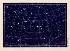
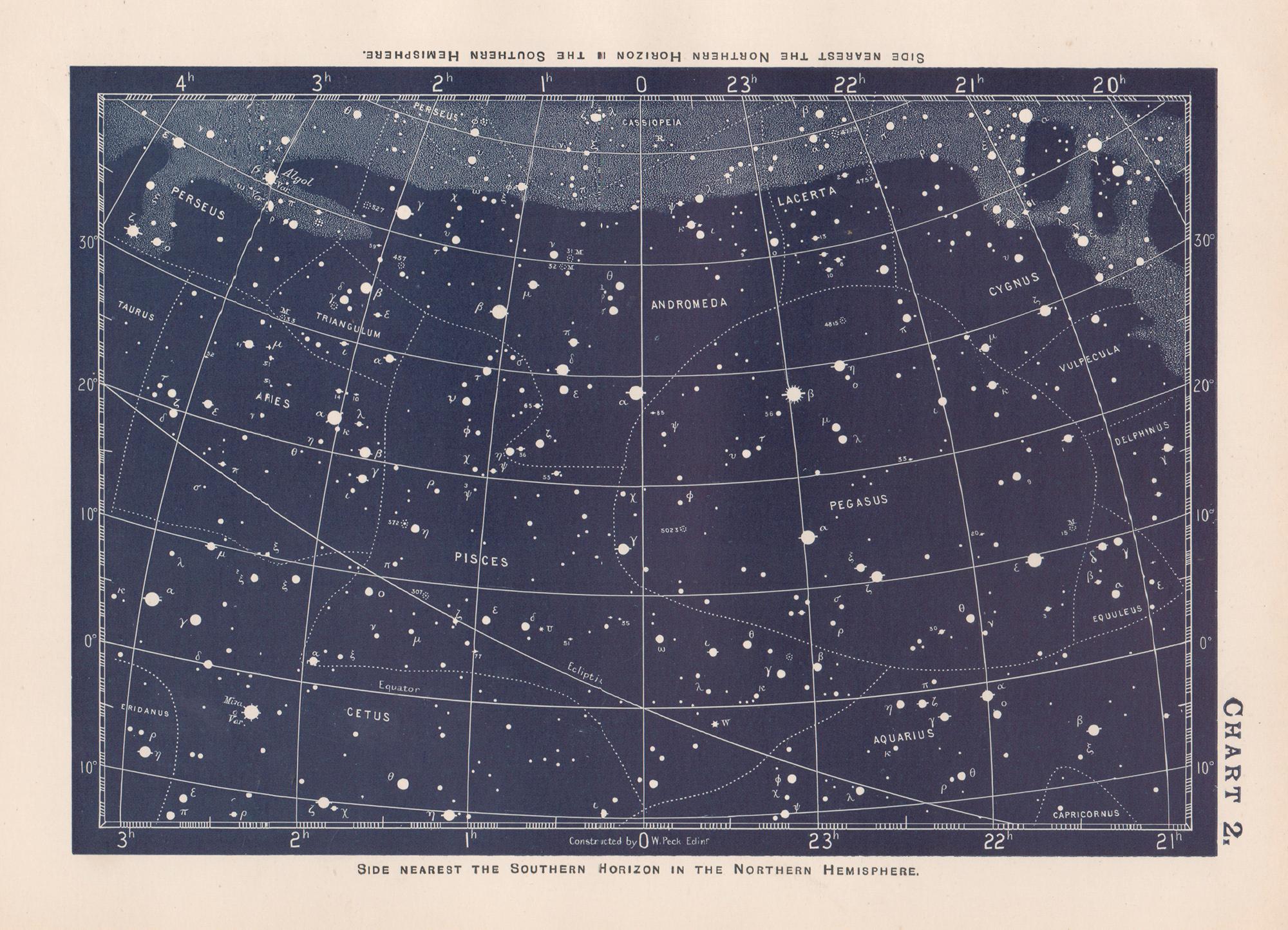
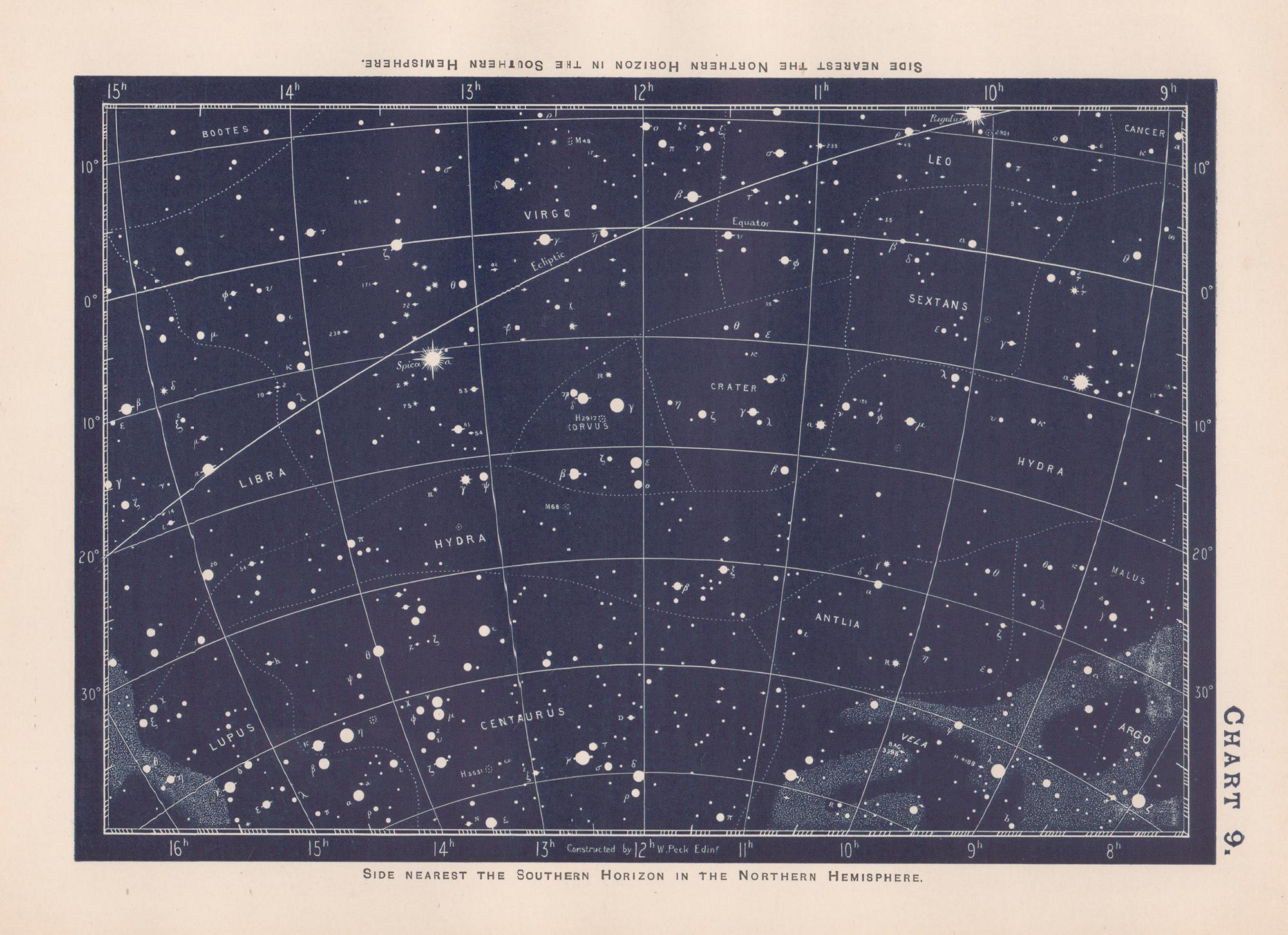
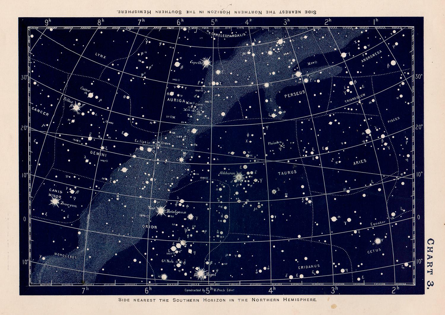
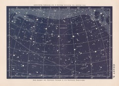
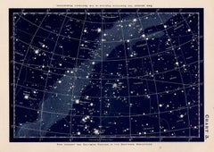
Star Chart. Antique Astronomy celestial print
Located in Melbourne, Victoria
Colour lithograph, 1890. 210mm by 285mm (sheet). From W Peck's 'A Handbook and Atlas of Astronomy', 1890. Sir William Peck FRSE FRAS (1862 – 1925) was a Scottish astronomer and scien...
Category
Late 19th Century Victorian More Prints
Materials
Lithograph
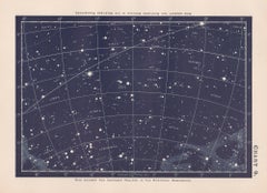

Original Antique Map of The Eastern Hemisphere by Dower, circa 1835
Located in St Annes, Lancashire
Nice map of the Eastern Hemisphere
Drawn and engraved by J.Dower
Published by Orr & Smith. C.1835
Unframed.
Free shipping
Category
Antique 1830s English Maps
Materials
Paper

Star Chart. Antique Astronomy celestial print
Located in Melbourne, Victoria
Colour lithograph, 1890. 210mm by 285mm (sheet). From W Peck's 'A Handbook and Atlas of Astronomy', 1890. Sir William Peck FRSE FRAS (1862 – 1925) was a Scottish astronomer and scien...
Category
Late 19th Century Victorian More Prints
Materials
Lithograph