Items Similar to Antique Map of Central Asia - Featuring the Caspian Sea and Silk Road Regions

Want more images or videos?
Request additional images or videos from the seller
1 of 10
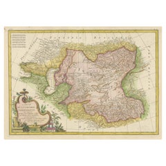
Antique Map of Central Asia - Featuring the Caspian Sea and Silk Road Regions
$383.74
£285.46
€320
CA$525.47
A$584.25
CHF 305.06
MX$7,111.73
NOK 3,892.46
SEK 3,647.05
DKK 2,435.98
Shipping
Retrieving quote...The 1stDibs Promise:
Authenticity Guarantee,
Money-Back Guarantee,
24-Hour Cancellation
About the Item
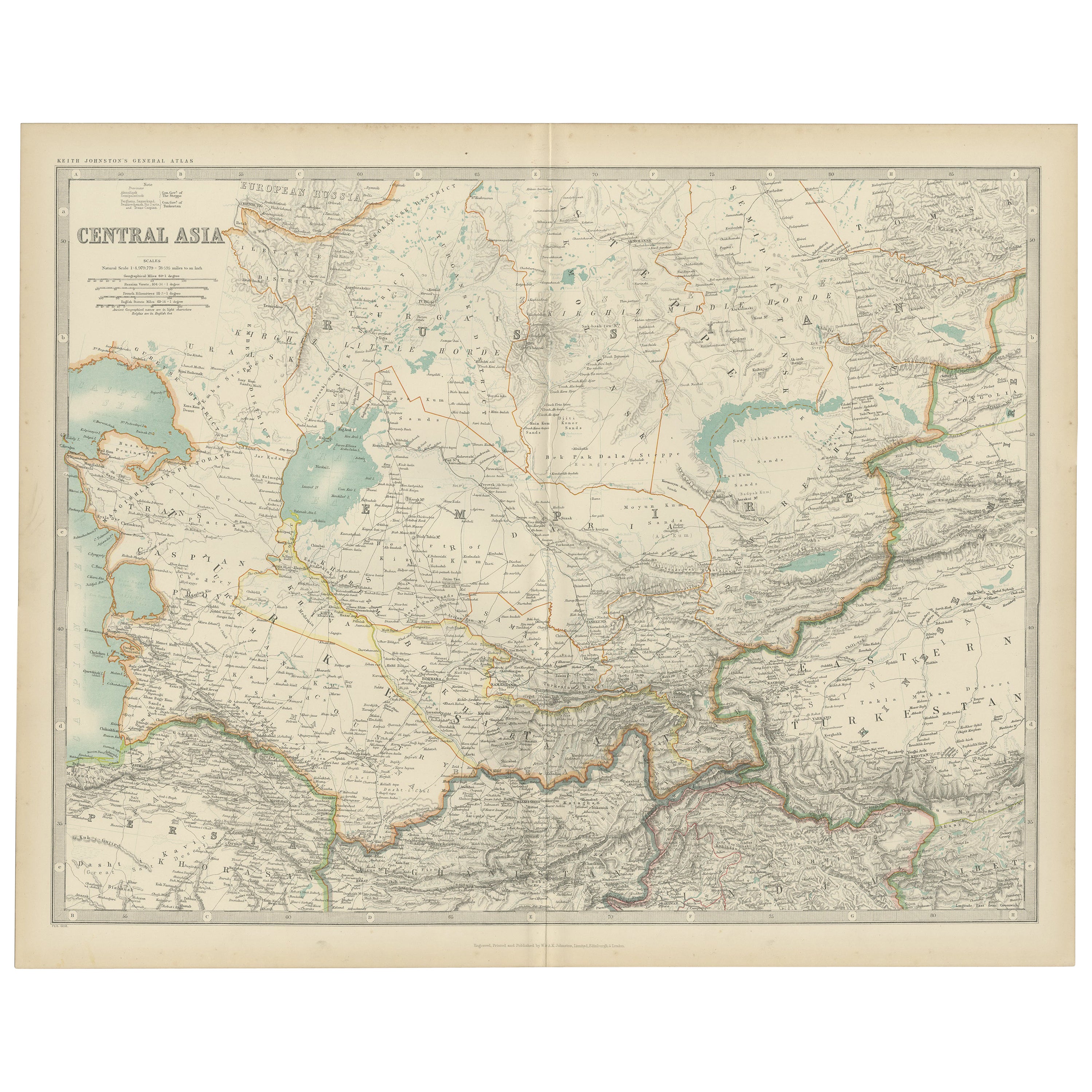
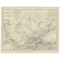
Antique Map of Central Asia, 1903, Featuring the Caspian Sea and Silk Road Regions
This antique map, titled "Central Asia," was engraved and published in 1903 by W. & A.K. Johnston in Edinburgh and London. It captures the sweeping expanses of Central Asia, including the Caspian Sea, the Aral Sea, and the rugged mountain ranges that frame this fascinating and historically significant region.
Hand-colored in soft pastel hues, the map elegantly delineates the shifting boundaries of empires and states, reflecting the fluid political landscape of the early 20th century. From the Russian Empire’s vast steppe to the ancient trade routes that once formed the Silk Road, this map provides a unique window into a world at the crossroads of civilizations.
Major cities, rivers, and mountain ranges are all marked with precision, including the cities of Samarkand, Bukhara, and Kashgar—once vital hubs of trade, culture, and conquest. The map’s refined typography and detailed engraving highlight the natural beauty and strategic importance of this region, linking Europe and Asia through centuries of cultural exchange.
For collectors, historians, and enthusiasts of Central Asian history and geography, this map is more than a decorative piece—it is a portal to the rich and complex past of a region that has long served as a meeting point of East and West.
Condition report:
This map is in very good antique condition, with minor foxing and slight toning along the edges typical for its age. The colors remain vibrant and the paper stable and well-preserved.
Framing tips:
A classic dark wood frame in walnut or cherry will complement the soft pastel tones and historical richness of the map. Use a cream or off-white matting to highlight the fine engraving and create a refined, timeless focal point for any home, library, or office.
- Dimensions:Height: 14.49 in (36.8 cm)Width: 18.51 in (47 cm)Depth: 0.01 in (0.2 mm)
- Materials and Techniques:
- Period:
- Date of Manufacture:1903
- Condition:This map is in very good antique condition, with minor foxing and gentle edge toning typical for its age. The colors remain vibrant and the paper is stable and well-preserved. Folding line as issued.
- Seller Location:Langweer, NL
- Reference Number:Seller: BG-13577-271stDibs: LU3054345262472
About the Seller
5.0
Recognized Seller
These prestigious sellers are industry leaders and represent the highest echelon for item quality and design.
Platinum Seller
Premium sellers with a 4.7+ rating and 24-hour response times
Established in 2009
1stDibs seller since 2017
2,510 sales on 1stDibs
Typical response time: <1 hour
- ShippingRetrieving quote...Shipping from: Langweer, Netherlands
- Return Policy
Authenticity Guarantee
In the unlikely event there’s an issue with an item’s authenticity, contact us within 1 year for a full refund. DetailsMoney-Back Guarantee
If your item is not as described, is damaged in transit, or does not arrive, contact us within 7 days for a full refund. Details24-Hour Cancellation
You have a 24-hour grace period in which to reconsider your purchase, with no questions asked.Vetted Professional Sellers
Our world-class sellers must adhere to strict standards for service and quality, maintaining the integrity of our listings.Price-Match Guarantee
If you find that a seller listed the same item for a lower price elsewhere, we’ll match it.Trusted Global Delivery
Our best-in-class carrier network provides specialized shipping options worldwide, including custom delivery.More From This Seller
View AllAntique Map of Central Asia by Johnston '1909'
Located in Langweer, NL
Antique map titled 'Central Asia'. Original antique map of Central Asia. This map originates from the ‘Royal Atlas of Modern Geography’. Published by W. & A.K. Johnston, 1909.
Category
Early 20th Century Maps
Materials
Paper
$239 Sale Price
20% Off
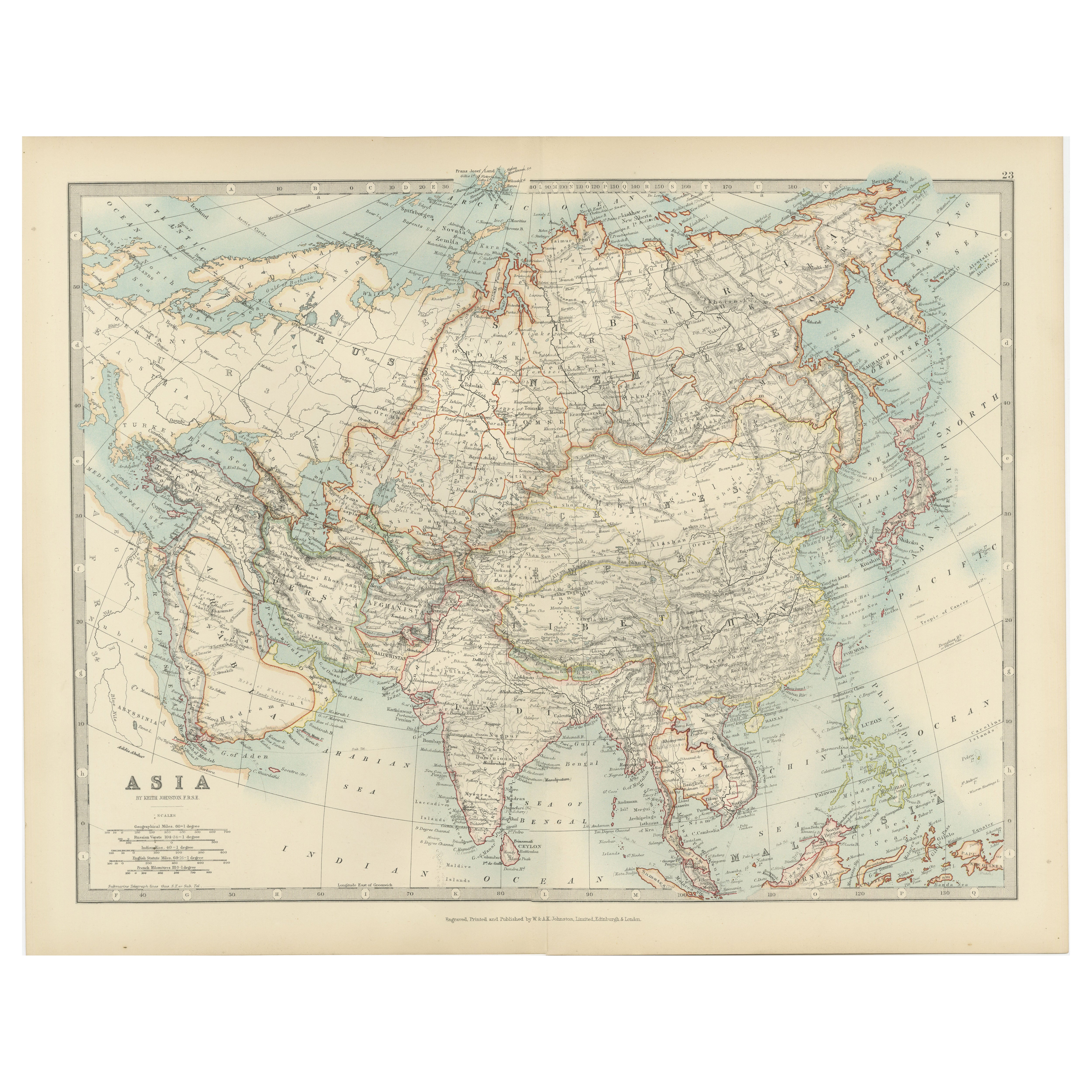
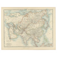
Antique Map of Asia with Intricate Provincial Boundaries, Published in 1903
Located in Langweer, NL
Title: Antique Map of Asia, 1903, with Intricate Provincial Boundaries and Coastal Features
Description:
This antique map, titled "Asia," was engraved and published in 1903 by the r...
Category
Early 20th Century Maps
Materials
Paper
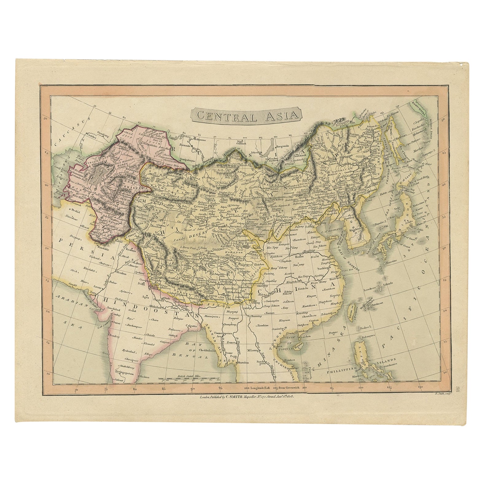
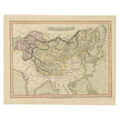
Original Antique Map of Central Asia by Smith, 1808
Located in Langweer, NL
Antique map titled 'Central Asia'. Old map of central Asia originating from 'Smith's New General Atlas Containing Distinct Maps Of all the Principal Empires, Kingdoms, & States Throu...
Category
Antique 19th Century Maps
Materials
Paper
$230 Sale Price
20% Off
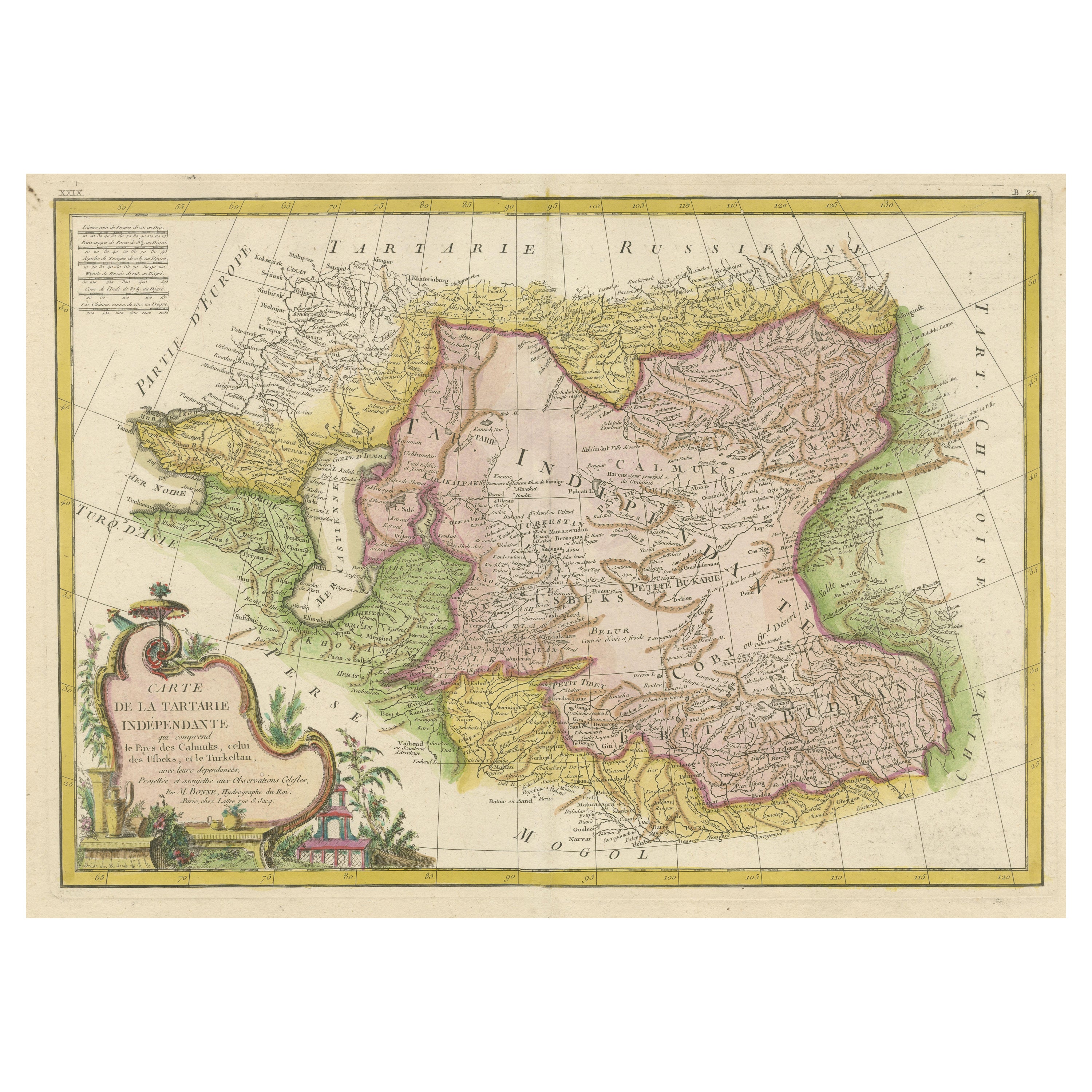
Decorative Antique Map of Central Asia
Located in Langweer, NL
Antique map titled 'Carte de la Tartarie Indépendante (..)'. Decorative map of Central Asia (Tartary). Covers from the Black Sea south to China, north to Russia, and south to Persia ...
Category
Antique Late 18th Century Maps
Materials
Paper
$374 Sale Price
20% Off
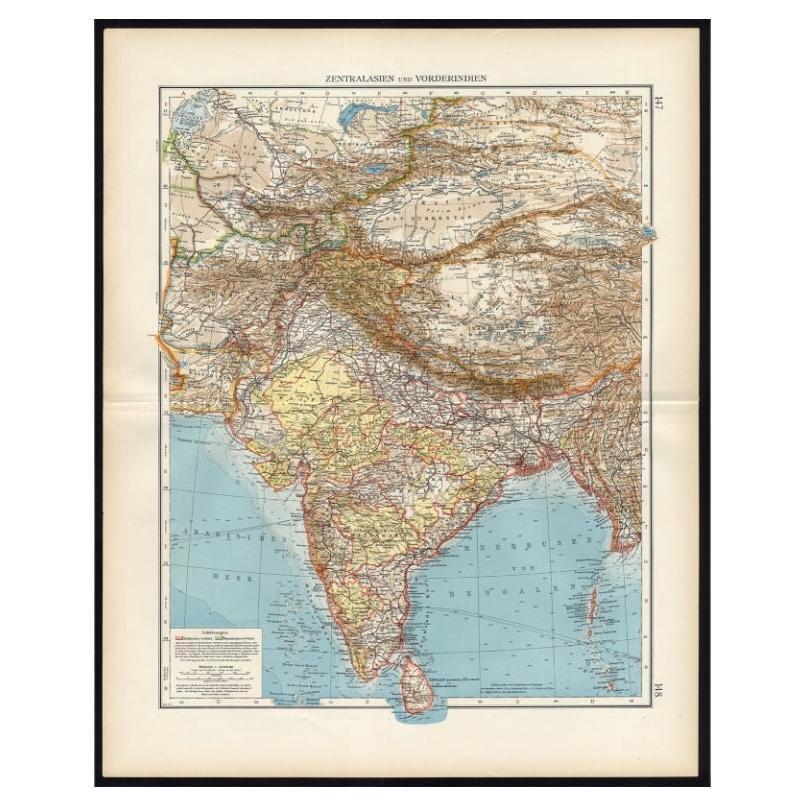
Antique Map of Central Asia and India, 1904
Located in Langweer, NL
Antique map titled 'Zentralasien und Vorderindien'. Map of Central Asia and India. This large antique map is taken from; 'Andrees Allgemeiner Handatlas in 126 Haupt-Und 139 Nebenkart...
Category
20th Century Maps
Materials
Paper

$129 Sale Price
20% Off
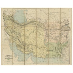
Antique Map of West Asia, circa 1900
Located in Langweer, NL
Antique map titled 'Persia, Afghanistan and Beloochistan'. Folding map on linen.
Published circa 1900. Stamp below title.
Category
Early 20th Century Maps
Materials
Paper
You May Also Like
Russia, Western and Southern Part. Century Atlas antique vintage map
Located in Melbourne, Victoria
'The Century Atlas. Russia, Western and Southern Part'
Original antique map, 1903.
Inset map tilted 'St Petersburg and Environs'.
Central fold as issued. Map name and number printe...
Category
Early 20th Century Victorian More Prints
Materials
Lithograph

Antique 1803 Italian Map of Asia Including China Indoneseia India
Located in Amsterdam, Noord Holland
Antique 1803 Italian Map of Asia Including China Indoneseia India
Very nice map of Asia. 1803.
Additional information:
Type: Map
Country of Manufacturing: Europe
Period: 19th centu...
Category
Antique 19th Century European Maps
Materials
Paper

$584 Sale Price
20% Off
Africa. North-East Part. Century Atlas antique vintage map
Located in Melbourne, Victoria
'The Century Atlas. Africa. North-East Part'
Original antique map, 1903.
Inset map of 'Nile Delta and Suez Canal'.
Central fold as issued. Map name and nu...
Category
Early 20th Century Victorian More Prints
Materials
Lithograph

Russia in Europe with Poland and Finland. Century Atlas antique vintage map
Located in Melbourne, Victoria
'The Century Atlas. Russia in Europe with Poland and Finland'
Original antique map, 1903.
Central fold as issued. Map name and number printed on the reverse corners.
Sheet 40cm by ...
Category
Early 20th Century Victorian More Prints
Materials
Lithograph

Original Antique Map of China, Arrowsmith, 1820
Located in St Annes, Lancashire
Great map of China
Drawn under the direction of Arrowsmith
Copper-plate engraving
Published by Longman, Hurst, Rees, Orme and Brown, 1820
Unfr...
Category
Antique 1820s English Maps
Materials
Paper

Large1852 Map "Russian Empire" Ric.r0011
Located in Norton, MA
Large
1852 map "Russian Empire"
George Phillips & Son 1852
Ric.r0011
Dimension: Paper: 67 cm W x 52 cm H ; Sight: 60cm W x 50 cm H
Condition: Good Condition with aged tonin...
Category
Antique 19th Century Unknown Maps
Materials
Paper

More Ways To Browse
Century Furniture Silk Road
Empire Library
Silk Map
Solid Mahogany Table
Dessert Glasses
Geometric Glass Table
Mid Century Pin
6x10 Rug
Studded Furniture
Styles Of Antique Desks
Black And White Coffee Table
Metal Relief
Curved Velvet Couch
Velvet Curved Sofa
Wood Round Coffee Tables
Antique Paper Flowers
Oak Brutalist
Used College Furniture