Items Similar to Hand-Colored City Plan of Cologne by Nicolas de Fer, 1705
Want more images or videos?
Request additional images or videos from the seller
1 of 8
Hand-Colored City Plan of Cologne by Nicolas de Fer, 1705
$407.72
£303.30
€340
CA$558.31
A$620.76
CHF 324.13
MX$7,556.21
NOK 4,135.74
SEK 3,874.99
DKK 2,588.23
Shipping
Retrieving quote...The 1stDibs Promise:
Authenticity Guarantee,
Money-Back Guarantee,
24-Hour Cancellation
About the Item
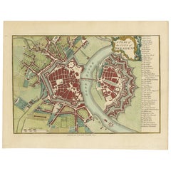
Title: Hand-Colored City Plan of Cologne by Nicolas de Fer, 1705
This hand-colored map, titled "Cologne Ville Considerable Situee sur le Bord Occidentale du Rhein Capit. de l'Electorat de Meme Nom," was created by Nicolas de Fer in 1705. It is a detailed city and fortification plan of Cologne, Germany, depicting its position on the western bank of the Rhine River. The map illustrates Cologne's street layout, major buildings, and fortifications, giving a thorough view of the city's structure during the early 18th century.
The map is adorned with a decorative title cartouche and a compass rose that orients the map with north positioned to the right. This cartographic detail not only provides practical navigation insight but also enhances the visual charm of the map. The detailed representation of churches, streets, and defensive structures offers a valuable glimpse into Cologne’s urban and defensive planning of that era.
The use of hand-coloring highlights the different areas and fortifications, enhancing the legibility and overall aesthetic appeal of the map. This historical representation by Nicolas de Fer captures the essence of Cologne as a prominent city in the Holy Roman Empire during the early 1700s.
Condition report: Minor toning along edges, slight foxing present. The colors remain vibrant, and the paper is well-preserved with crisp details, contributing to the overall appeal of this antique map.
- Dimensions:Height: 10.75 in (27.3 cm)Width: 16.07 in (40.8 cm)Depth: 0.01 in (0.2 mm)
- Materials and Techniques:Paper,Engraved
- Period:1700-1709
- Date of Manufacture:1705
- Condition:Condition report: Minor toning along edges, slight foxing present. The colors remain vibrant, and the paper is well-preserved with crisp details, contributing to the overall appeal of this antique map.
- Seller Location:Langweer, NL
- Reference Number:Seller: BG-13842-61stDibs: LU3054342565722
About the Seller
5.0
Recognized Seller
These prestigious sellers are industry leaders and represent the highest echelon for item quality and design.
Platinum Seller
Premium sellers with a 4.7+ rating and 24-hour response times
Established in 2009
1stDibs seller since 2017
2,511 sales on 1stDibs
Typical response time: <1 hour
- ShippingRetrieving quote...Shipping from: Langweer, Netherlands
- Return Policy
Authenticity Guarantee
In the unlikely event there’s an issue with an item’s authenticity, contact us within 1 year for a full refund. DetailsMoney-Back Guarantee
If your item is not as described, is damaged in transit, or does not arrive, contact us within 7 days for a full refund. Details24-Hour Cancellation
You have a 24-hour grace period in which to reconsider your purchase, with no questions asked.Vetted Professional Sellers
Our world-class sellers must adhere to strict standards for service and quality, maintaining the integrity of our listings.Price-Match Guarantee
If you find that a seller listed the same item for a lower price elsewhere, we’ll match it.Trusted Global Delivery
Our best-in-class carrier network provides specialized shipping options worldwide, including custom delivery.More From This Seller
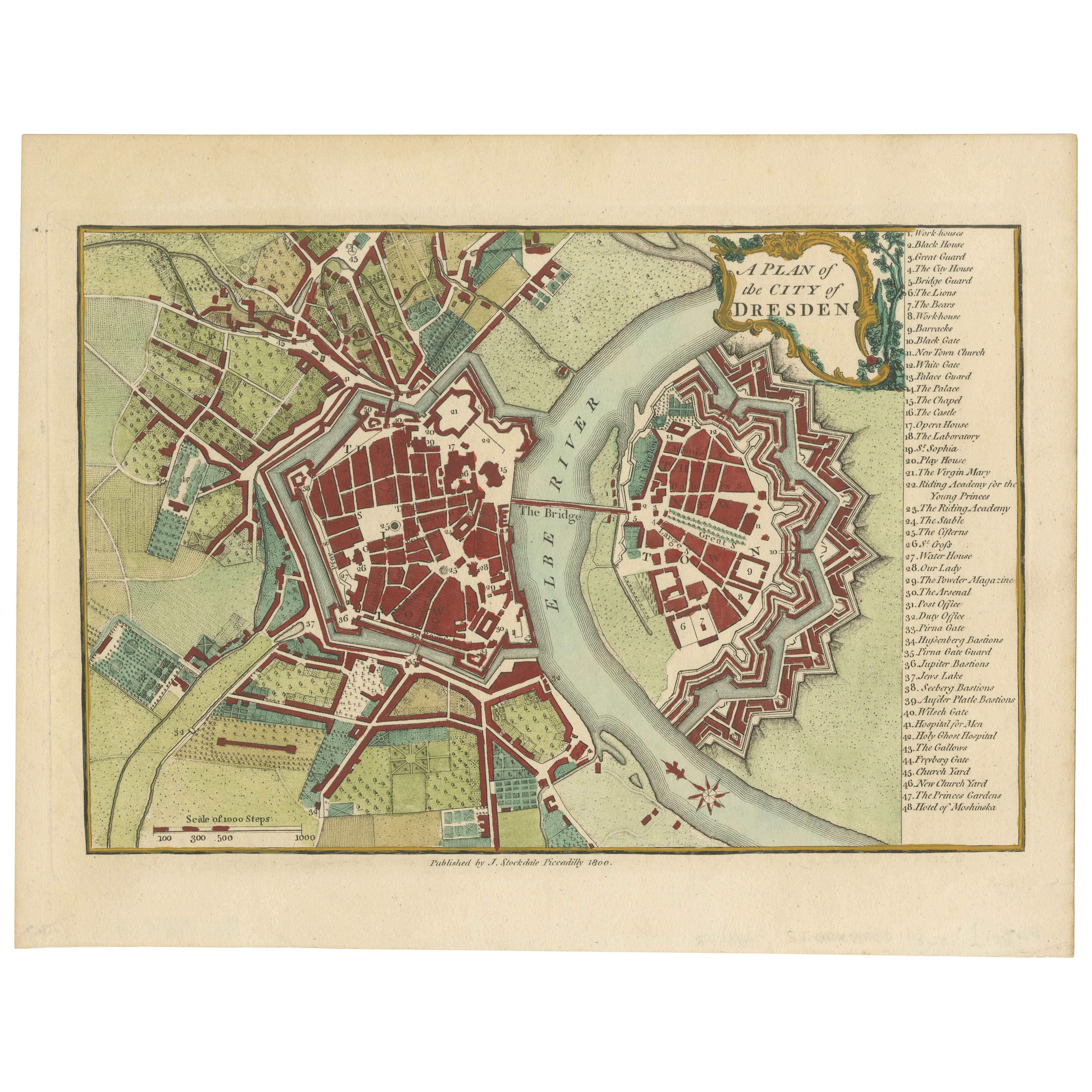
View AllOriginal Antique Map of Dresden, Germany by J. Stockdale, 1800
Located in Langweer, NL
Vintage Map of Dresden, Germany by J. Stockdale, 1800
This vintage map titled "A Plan of the City of Dresden" was published by J. Stockdale in Piccadilly, London, in 1800. It provid...
Category
Antique Early 1800s Maps
Materials
Paper
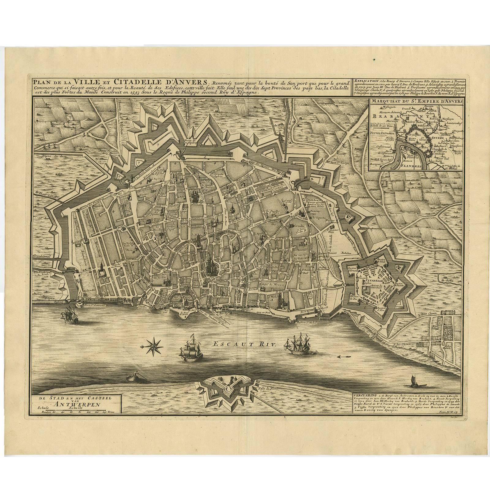
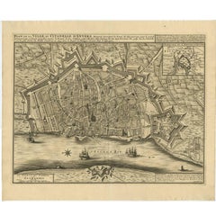
Antique Map of the City of Antwerpen ‘Belgium’ by A. Deur, 1729
Located in Langweer, NL
Copper-engraving by A. Deur. Published by I. van der Kloot in Den Haag, 1729. With French and Dutch title-cartouches and explanatory notes, several ships o...
Category
Antique Early 18th Century Maps
Materials
Paper
$738 Sale Price
20% Off
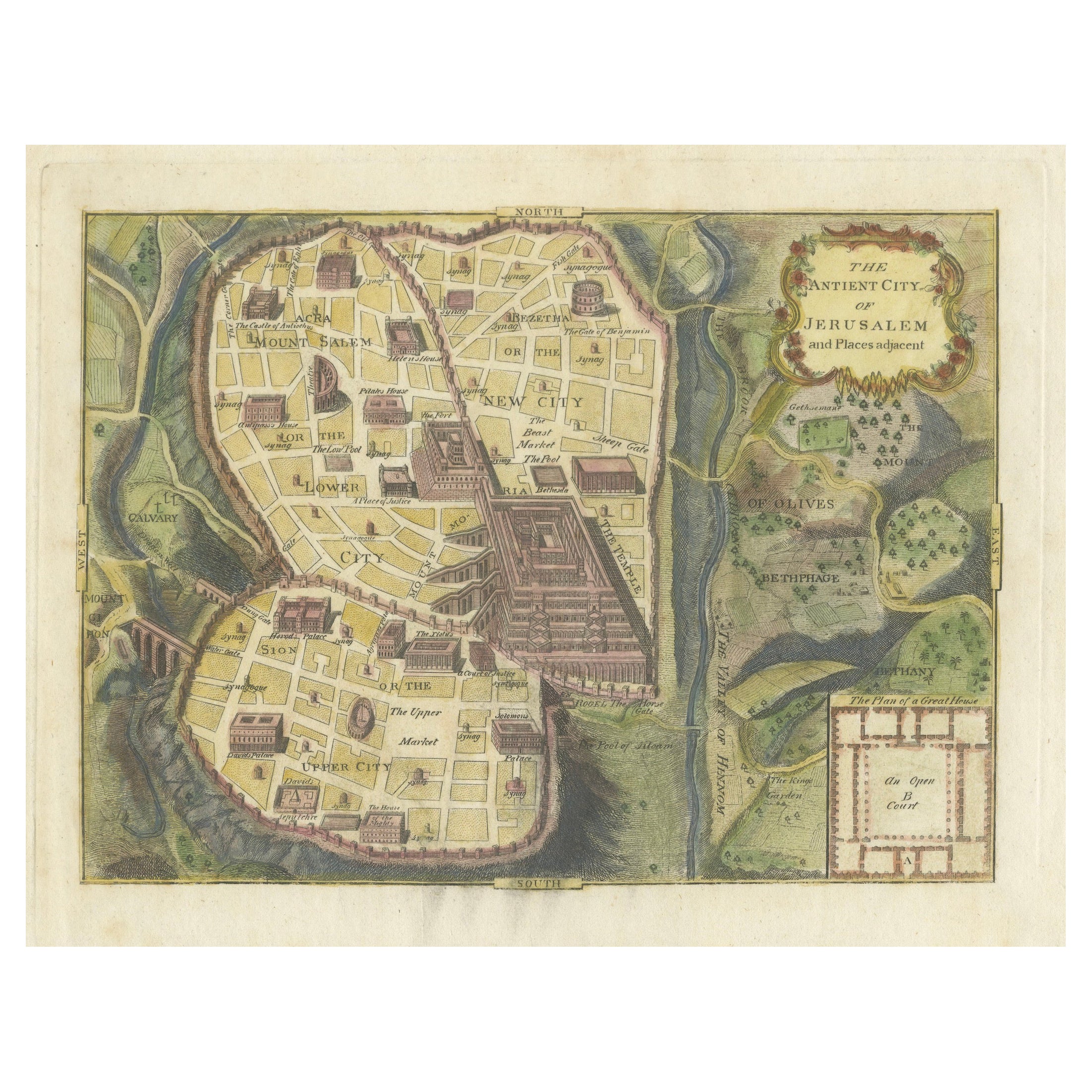
The Antient City of Jerusalem and Places Adjacent, Hand-Colored Map, 1699
Located in Langweer, NL
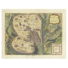
Title: "1699 Hand-Colored Bird's-Eye Plan of Jerusalem with Ancient and Biblical Landmarks"
This beautifully hand-colored, imaginary bird's-eye plan of Jerusalem, published in 1699,...
Category
Antique 1690s Maps
Materials
Paper
$249 Sale Price
20% Off
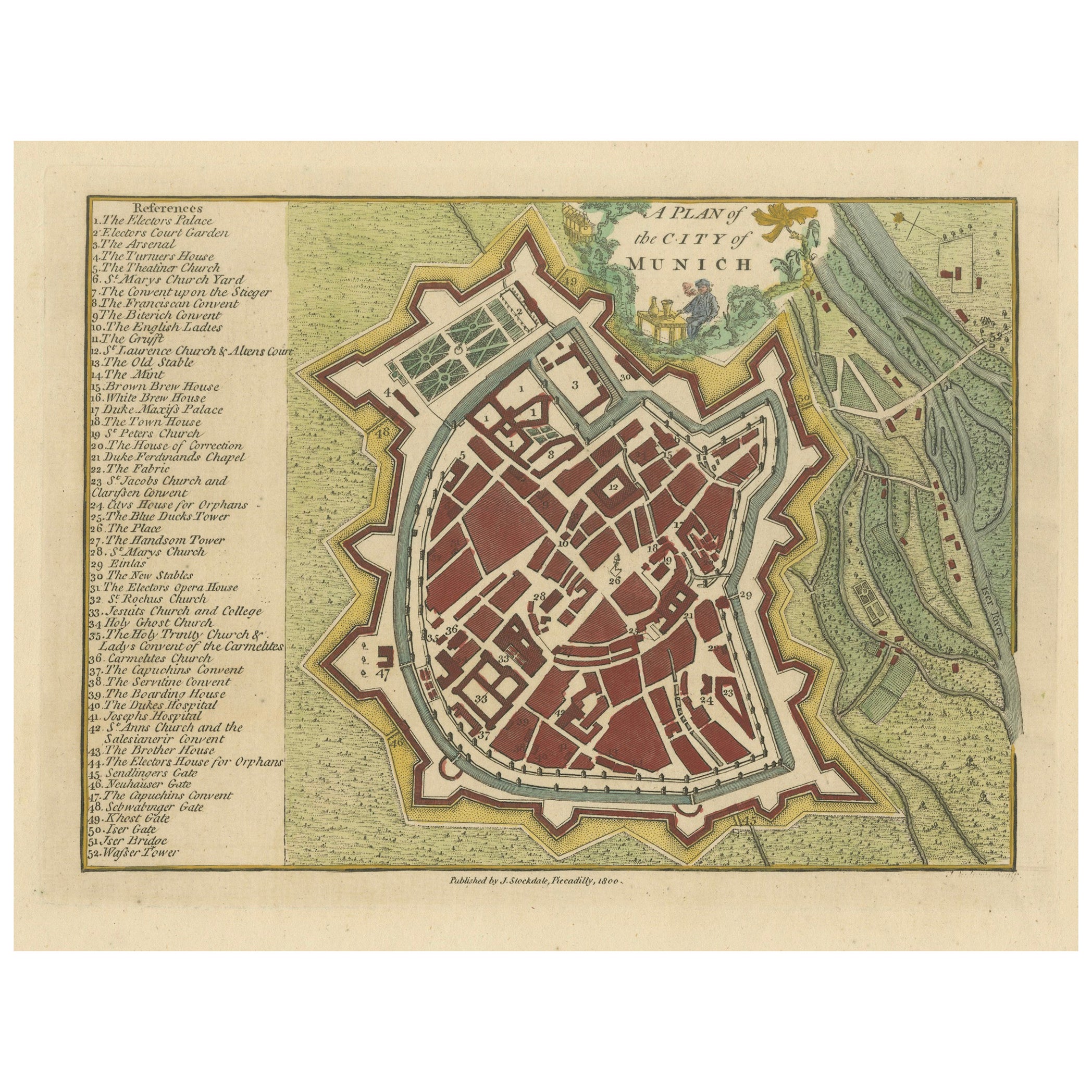
Original Antique Map of Munich, Germany by J. Stockdale, 1800
Located in Langweer, NL
Title: Vintage Map of Munich, Germany by J. Stockdale, 1800
This vintage map, titled "A Plan of the City of Munich," was published by J. Stockdale in Piccadilly, London, in 1800. Th...
Category
Antique Early 1800s Maps
Materials
Paper
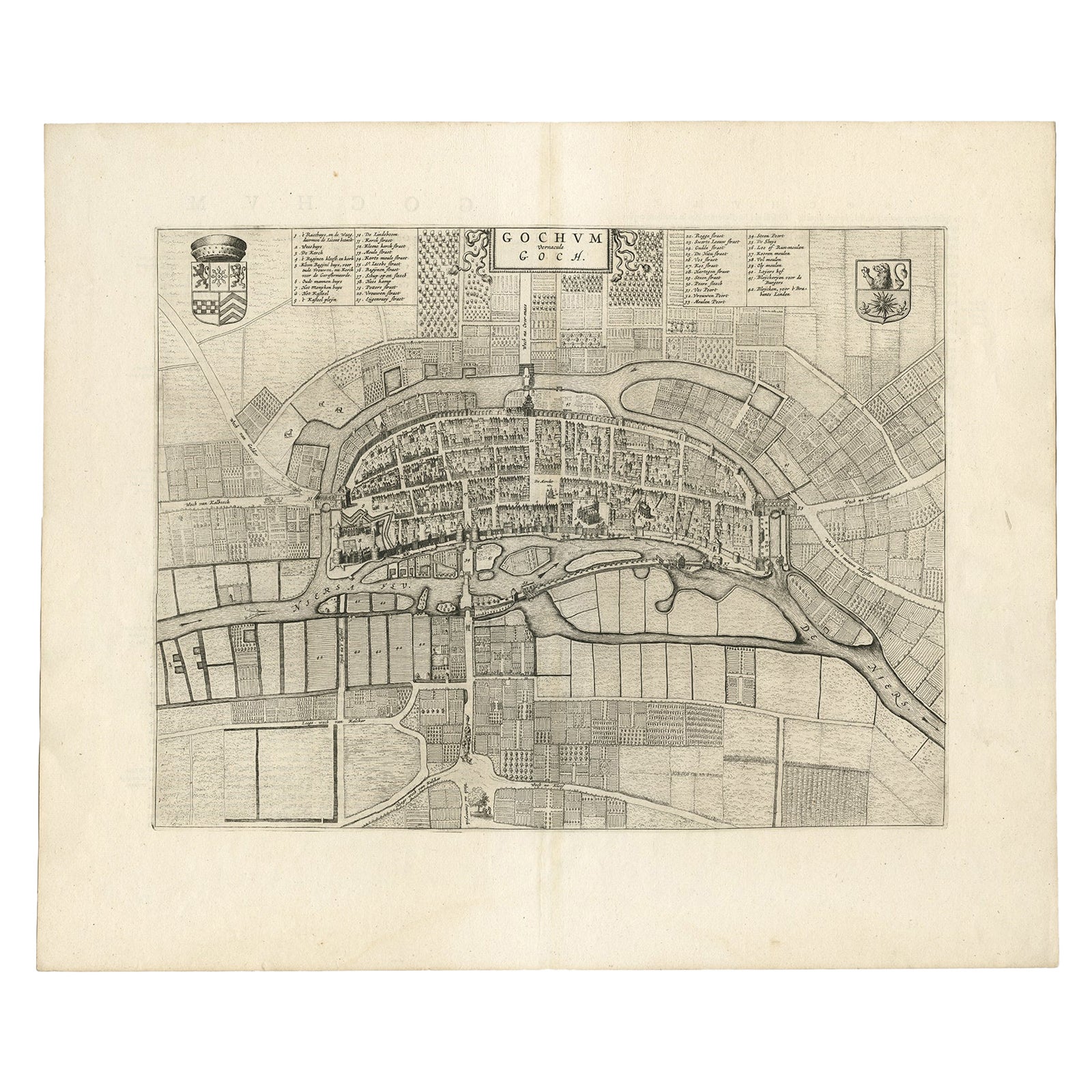
Antique Map of the City of Goch by Blaeu, 1649
Located in Langweer, NL
Antique map titled 'Gochum vernacule Goch'. Old map of the city of Goch, Germany. This map originates from 'Novum Ac Magnum Theatrum Urbium Belgicæ Liberæ ac Foederatæ' by J. Blaeu. ...
Category
Antique 17th Century Maps
Materials
Paper
$406 Sale Price
20% Off
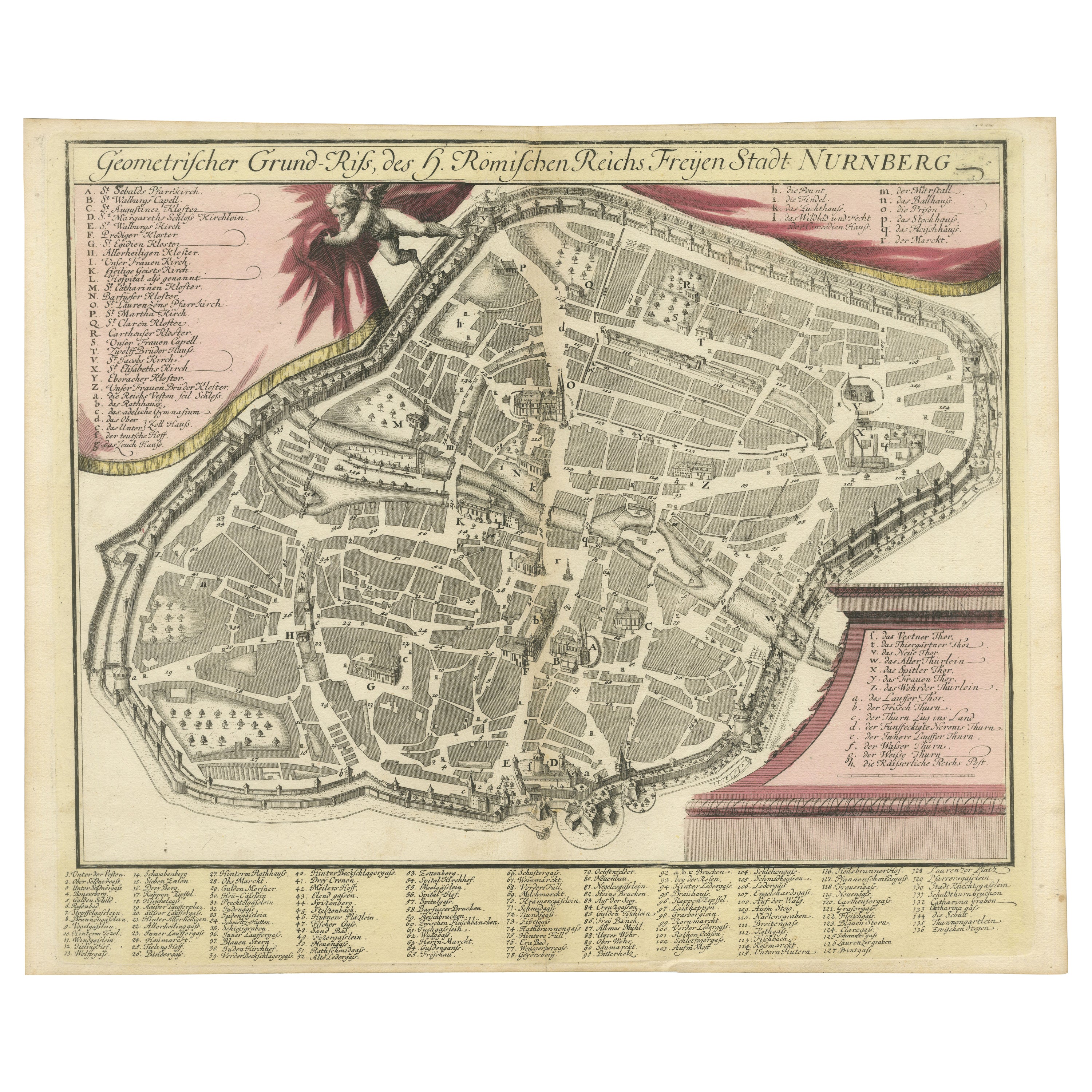
Rare Engraved City Plan of Nuremberg, Bavaria by Christoph Weigel, 1718
Located in Langweer, NL
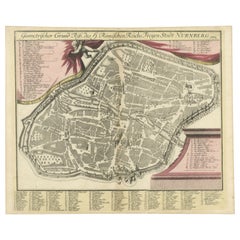
Title: Rare Engraved City Plan of Nuremberg, Bavaria by Christoph Weigel, 1718
Description:
This detailed city plan of Nuremberg, Bavaria was crafted by Christoph Weigel in 1718 an...
Category
Antique 1710s Maps
Materials
Paper
You May Also Like
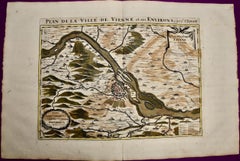
Vienna, Austria: A Large 17th Century Hand-colored Map by Sanson and Jaillot
By Nicholas Sanson d'Abbeville
Located in Alamo, CA
This large 17th century hand-colored map of Vienna, Austria and the surrounding countryside and villages entitled "Plan de la Ville de Vienne en Austrich...
Category
1690s Landscape Prints
Materials
Engraving
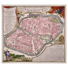
City View of Nuremberg, Germany: An 18th Century Hand-Colored Map by M. Seutter
By Matthew Seutter
Located in Alamo, CA
An 18th century hand-colored city view of Nuremburg, Germany entitled "Geometrischer Grundris der des Heiligen Römischen Reichs Freyen Stadt Nürnberg" by Matthaus Seutter from his "A...
Category
Antique Mid-18th Century German Maps
Materials
Paper
Vienna, Austria: A Large 17th Century Hand-Colored Map by Sanson and Jaillot
By Nicolas Sanson
Located in Alamo, CA
This large 17th century hand-colored map of Vienna, Austria and the surrounding countryside and villages entitled "Plan de la Ville de Vienne en Austrich...
Category
Antique 1690s French Maps
Materials
Paper

18th Century Hand-Colored Homann Map of Germany, Including Frankfurt and Berlin
By Johann Baptist Homann
Located in Alamo, CA
An 18th century hand-colored map entitled "Tabula Marchionatus Brandenburgici et Ducatus Pomeraniae quae sunt Pars Septentrionalis Circuli Saxoniae Superioris" by Johann Baptist Homa...
Category
Antique Early 18th Century German Maps
Materials
Paper

Hand Colored 18th Century Homann Map of Austria Including Vienna and the Danube
By Johann Baptist Homann
Located in Alamo, CA
"Archiducatus Austriae inferioris" is a hand colored map of Austria created by Johann Baptist Homann (1663-1724) and published in Nuremberg, Germany in 1728 shortly after his death. ...
Category
Antique Early 18th Century German Maps
Materials
Paper

17th Century Hand Colored Map of the Liege Region in Belgium by Visscher
By Nicolaes Visscher II
Located in Alamo, CA
An original 17th century map entitled "Leodiensis Episcopatus in omnes Subjacentes Provincias distincté divisusVisscher, Leodiensis Episcopatus" by Nicolaes Visscher II, published in Amsterdam in 1688. The map is centered on Liege, Belgium, includes the area between Antwerp, Turnhout, Roermond, Cologne, Trier and Dinant.
This attractive map is presented in a cream-colored mat measuring 30" wide x 27.5" high. There is a central fold, as issued. There is minimal spotting in the upper margin and a tiny spot in the right lower margin, which are under the mat. The map is otherwise in excellent condition.
The Visscher family were one of the great cartographic families of the 17th century. Begun by Claes Jansz Visscher...
Category
Antique Late 17th Century Dutch Maps
Materials
Paper

More Ways To Browse
Elios Chair
Plata Lappas
Red Retro Dining Set
Antique Bouquet
Antique Silver Glasses Case
Carlo Scarpa 1934 Chairs
Christofle Marly
1900 Antique Chairs
Glass Table Italian Round
Mid Century Colonial
Alvar Aalto Poster
Geometric Metal Table
Post Modern High Chairs
United Nations
Vintage Vine Rug
Cancel An Order
Antique Framing Square
Silver Metal Chair