Items Similar to Johnson’s New Brunswick Nova Scotia Newfoundland Map, USA c.1864


Video Loading
Want more images or videos?
Request additional images or videos from the seller
1 of 12
Johnson’s New Brunswick Nova Scotia Newfoundland Map, USA c.1864
$259.45
£194.20
€220
CA$357.07
A$398
CHF 208.81
MX$4,860.18
NOK 2,644.05
SEK 2,499.03
DKK 1,674.79
About the Item
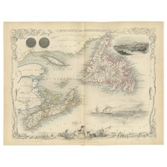
Johnson’s New Brunswick Nova Scotia Newfoundland Map, USA c.1864
This is a finely engraved and hand-colored map titled Johnson’s New Brunswick, Nova Scotia, Newfoundland, and Prince Edward I., published by Johnson and Ward in New York circa 1864. It depicts the Canadian Maritime provinces including New Brunswick, Nova Scotia, Newfoundland, and Prince Edward Island with counties shaded in pastel pink and green wash colors.
The map shows towns, cities, rivers, lakes, coastal features, and ferry routes with clarity. Major places marked include St. John, Halifax, Charlottetown, and St. John’s. It also labels parts of the Gulf of St. Lawrence, Cabot Strait, and the Atlantic coastline in detail, reflecting the region’s importance for fishing, trade, and early Canadian maritime history.
Johnson’s distinctive decorative border frames the map with interlaced geometric and floral motifs, typical of his mid-19th century atlas publications. Johnson and Ward were leading American atlas publishers known for combining accurate cartographic information with decorative presentation. Their maps of Canada are valued for documenting the provinces before Canadian Confederation in 1867 and for their artistic qualities suited for display.
Condition report:
Fair condition. Strong impression with bright original hand coloring. Light general age toning and minor marginal spots or handling marks. Small paper loss in lower left corner margin and other borders, not affecting printed area. Wide margins and plate mark intact.
Framing suggestion:
Frame with a simple dark wood or black frame and an archival off-white or cream mat to highlight the pastel coloring and decorative border. Use UV-protective glass to preserve paper quality and prevent fading.
- Dimensions:Height: 14.06 in (35.7 cm)Width: 18 in (45.7 cm)Depth: 0.01 in (0.2 mm)
- Materials and Techniques:
- Place of Origin:
- Period:
- Date of Manufacture:circa 1864
- Condition:Fair condition. Strong impression with bright original hand coloring. Light general age toning and minor marginal spots or handling marks. Small paper loss in lower left corner margin and other borders, not affecting printed area. Wide margins.
- Seller Location:Langweer, NL
- Reference Number:Seller: BG-13952-341stDibs: LU3054345730232
About the Seller
5.0
Recognized Seller
These prestigious sellers are industry leaders and represent the highest echelon for item quality and design.
Platinum Seller
Premium sellers with a 4.7+ rating and 24-hour response times
Established in 2009
1stDibs seller since 2017
2,517 sales on 1stDibs
Typical response time: <1 hour
- ShippingRetrieving quote...Shipping from: Langweer, Netherlands
- Return Policy
Authenticity Guarantee
In the unlikely event there’s an issue with an item’s authenticity, contact us within 1 year for a full refund. DetailsMoney-Back Guarantee
If your item is not as described, is damaged in transit, or does not arrive, contact us within 7 days for a full refund. Details24-Hour Cancellation
You have a 24-hour grace period in which to reconsider your purchase, with no questions asked.Vetted Professional Sellers
Our world-class sellers must adhere to strict standards for service and quality, maintaining the integrity of our listings.Price-Match Guarantee
If you find that a seller listed the same item for a lower price elsewhere, we’ll match it.Trusted Global Delivery
Our best-in-class carrier network provides specialized shipping options worldwide, including custom delivery.More From This Seller
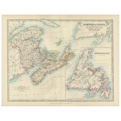
View AllAntique Map of New Brunswick, Nova Scotia and Surroundings by Johnson, 1872
Located in Langweer, NL
Antique map titled 'Johnson's Quebec, of the dominion of Canada (..)'. Original map of New Brunswick, Nova Scotia, Newfoundland and Prince Edward Island....
Category
Antique Late 19th Century Maps
Materials
Paper

$330 Sale Price
20% Off
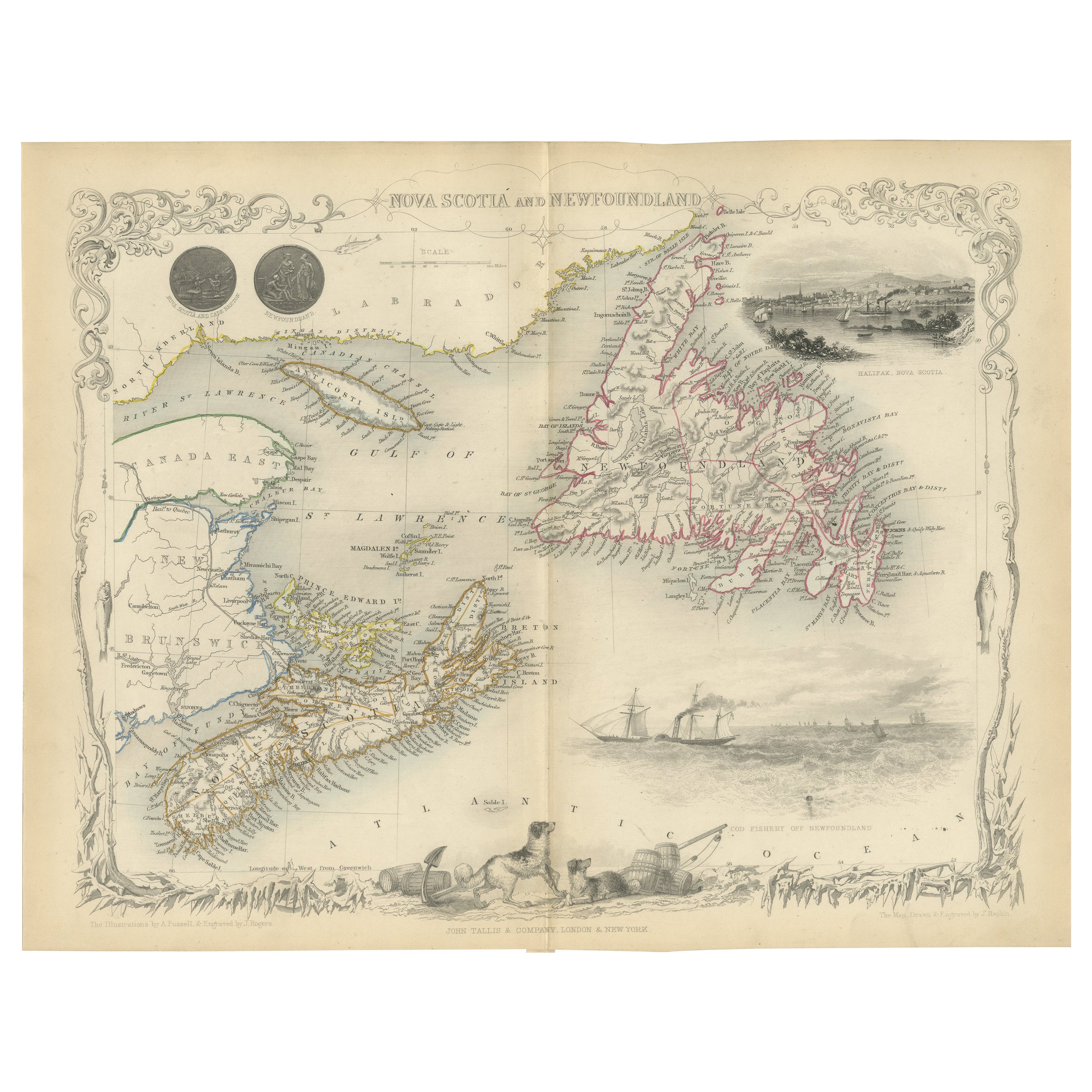
A Decorative Map of Nova Scotia and Newfoundland by John Tallis, 1851
Located in Langweer, NL
The map is part of the series created by John Tallis & Company, known for their mid-19th-century maps. This particular map illustrates the regions of Nova Scotia and Newfoundland and...
Category
Antique 1850s English Maps
Materials
Paper
Canada Dominion Map 1903 - A Detailed View of Eastern Canada and Newfoundland
Located in Langweer, NL
North America, 1903 - A Colorful Historical Map with Detailed Borders
This attractive map of North America was engraved, printed, and published by W. & A.K. Johnston in 1903. A wond...
Category
Early 20th Century Maps
Materials
Paper
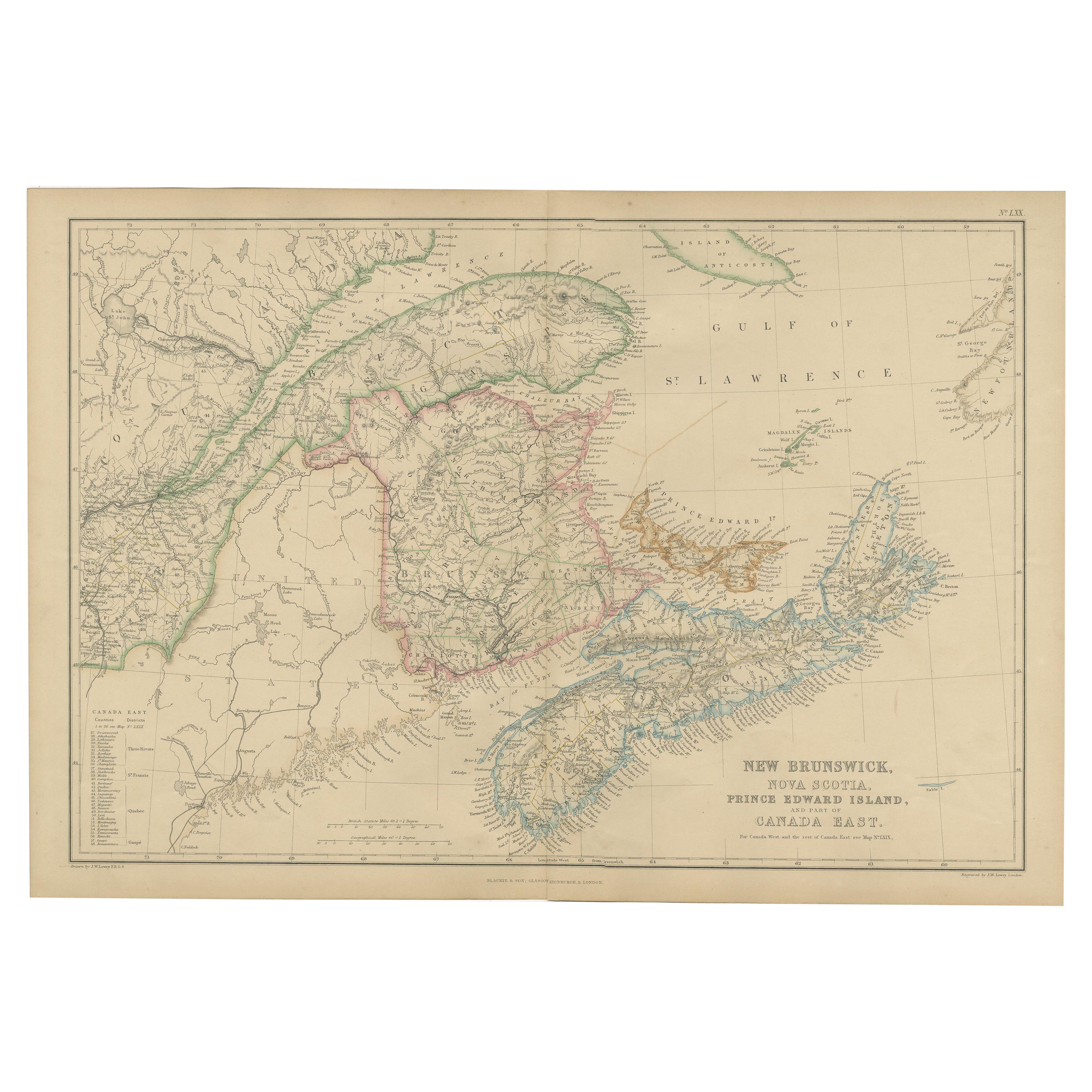
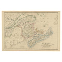
Antique Map of New Brunswick by W. G. Blackie, 1859
Located in Langweer, NL
Antique map titled 'New Brunswick, Nova Scotia, Prince Edward Island and Part of Canada east'. Original antique map of New Brunswick, Nova Scotia,...
Category
Antique Mid-19th Century Maps
Materials
Paper
$235 Sale Price
20% Off
Antique Map of Eastern Canada with an inset Map of Newfoundland, 1882
Located in Langweer, NL
Antique map titled 'Dominion of Canada'. Old map of Eastern Canada with an inset map of Newfoundland. This map originates from 'The Royal Atlas of Modern Geography, Exhibiting, in a ...
Category
Antique 19th Century Maps
Materials
Paper

$264 Sale Price
20% Off
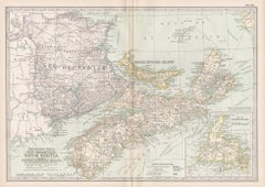
Decorative Antique Map of Eastern Canada, Published in 1882
Located in Langweer, NL
This is a historical map from the 1882 Blackie Atlas, focused on eastern Canada and the maritime provinces. The map is titled "Canada. No. 2. Provinces of Nova Scotia, New Brunswick,...
Category
Antique 1880s Maps
Materials
Paper

You May Also Like
Original Antique Map of New Brunswick and Nova Scotia, 1889
Located in St Annes, Lancashire
Great map of New Brunswick and Nova Scotia
Drawn and Engraved by W. & A.K. Johnston
Published By A & C Black, Edinburgh.
Original colour
Unfr...
Category
Antique 1880s Scottish Victorian Maps
Materials
Paper

New Brunswick, Nova Scotia and Prince Edward Island, Canada. Century Atlas map
Located in Melbourne, Victoria
'The Century Atlas. New Brunswick, Nova Scotia and Prince Edward Island, Canada.'
Original antique map, 1903.
Inset map of Newfoundland.
Central...
Category
Early 20th Century Victorian More Prints
Materials
Lithograph
Canada and Newfoundland. Century Atlas antique vintage map
Located in Melbourne, Victoria
'The Century Atlas. Dominion of Canada and Newfoundland.'
Original antique map, 1903.
Central fold as issued. Map name and number printed on the reverse corners.
Sheet 29.5cm by 40...
Category
Early 20th Century Victorian More Prints
Materials
Lithograph

Quebec. Canada. Century Atlas antique vintage map
Located in Melbourne, Victoria
'The Century Atlas. Quebec'
Original antique map, 1903.
Inset maps 'Sketch Map of Quebec', Quebec and Vicinity; and 'Montreal and Vicinity'.
Central fo...
Category
Early 20th Century Victorian More Prints
Materials
Lithograph

Manitoba, British Columbia and NW Territories, Canada. Century Atlas antique map
Located in Melbourne, Victoria
'The Century Atlas. Manitoba, British Columbia and the Northwest Territories, Canada, North America.'
Original antique map, 1903.
Central fold as issued. Map name and number printe...
Category
Early 20th Century Victorian More Prints
Materials
Lithograph

Original Antique Map of North America by Dower, circa 1835
Located in St Annes, Lancashire
Nice map of North America
Drawn and engraved by J.Dower
Published by Orr & Smith. C.1835
Unframed.
Free shipping
Category
Antique 1830s English Maps
Materials
Paper

More Ways To Browse
Antique Fishing Collectables
Antique Furniture Brunswick
Used Furniture Nova Scotia
Antique Furniture Newfoundland
Used Furniture Halifax
Curved Velvet Couch
Velvet Curved Sofa
Wood Round Coffee Tables
Oak Brutalist
Used College Furniture
Wood Minimalist Chair
Antique Imperial Furniture
Gold Modern Coffee Table
Large Side Tables
18th Century Gilded Furniture
Fluted Column
Japanese Silver Ceramics
One Of A Kind Chair