Items Similar to Map of the West India Islands and Central America – Colorful 1903 Engraving
Want more images or videos?
Request additional images or videos from the seller
1 of 10
Map of the West India Islands and Central America – Colorful 1903 Engraving
$407.37
£303.20
€340
CA$557.99
A$620.61
CHF 324.06
MX$7,552.17
NOK 4,138.79
SEK 3,881.45
DKK 2,588.30
Shipping
Retrieving quote...The 1stDibs Promise:
Authenticity Guarantee,
Money-Back Guarantee,
24-Hour Cancellation
About the Item
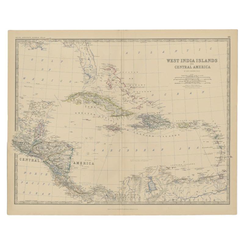
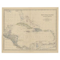
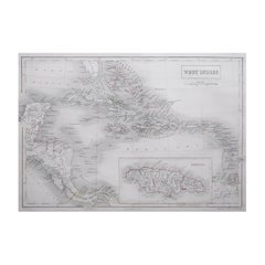
Map of the West India Islands and Central America – Colorful 1903 Engraving
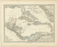
This vibrant engraved map, titled "West India Islands and Central America," was created by Keith Johnston, F.R.G.S., and published by W. & A.K. Johnston, Limited, Edinburgh & London, in 1903. The map offers a detailed depiction of the Caribbean region and Central America at the dawn of the 20th century, skillfully blending geographic accuracy with artistic charm.
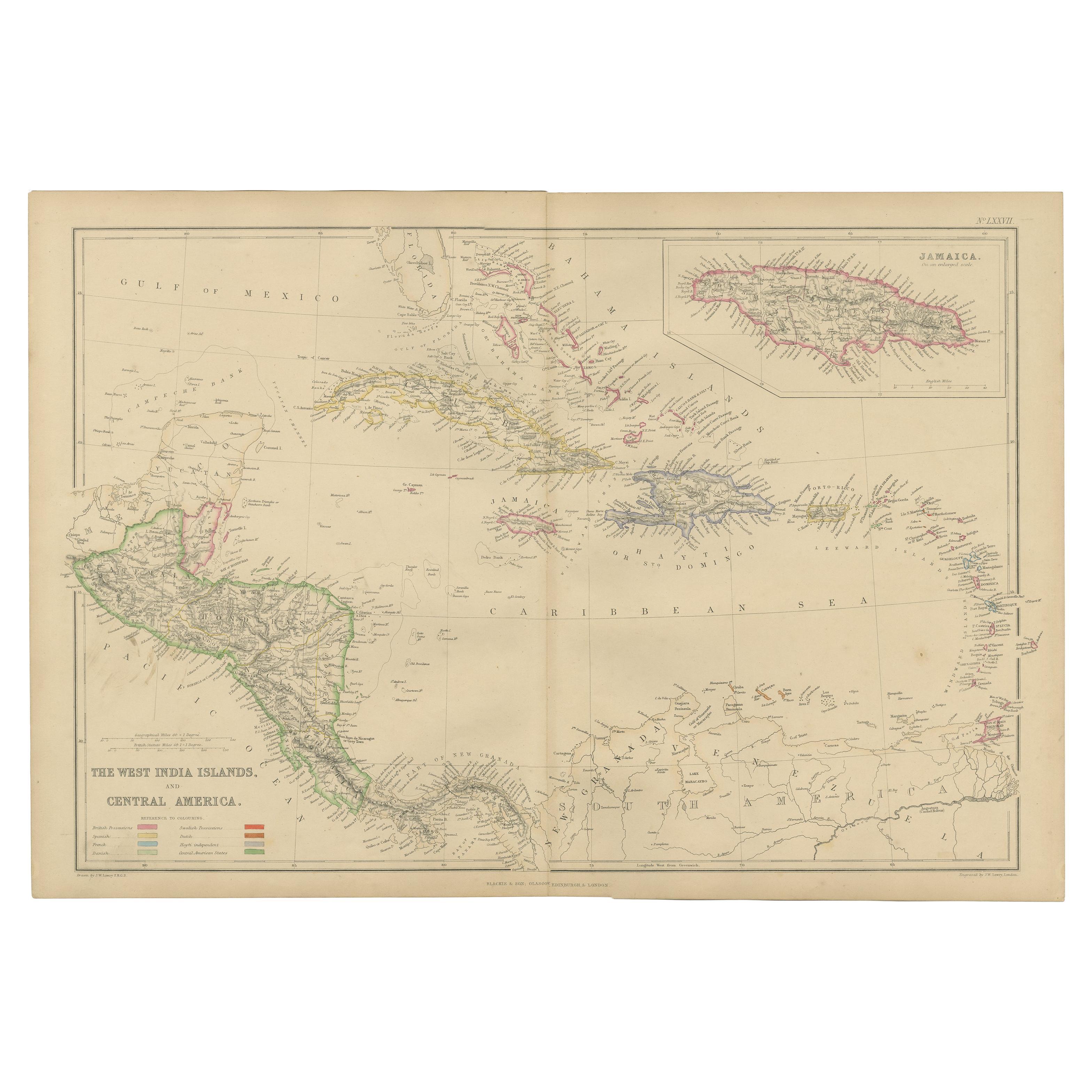
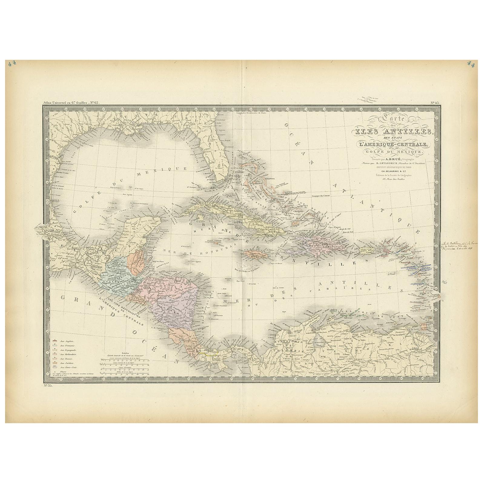
The map captures the entire Caribbean basin, stretching from the southern tip of Florida to the shores of South America. It includes the major islands of Cuba, Hispaniola, Jamaica, Puerto Rico, the Bahamas, the Lesser Antilles, and parts of Central America like the Yucatán Peninsula, Honduras, Nicaragua, Costa Rica, and Panama. Intricately engraved lines represent the coastlines, rivers, and mountain ranges, while soft pastel color washes highlight the different political regions, adding clarity and elegance to the visual composition.
An essential feature is the precise labeling of key cities, settlements, and natural landmarks, reflecting the colonial influences and strategic importance of these islands. The map also delineates ocean currents, islands, and smaller cays that were crucial for trade, navigation, and exploration in this era.
This piece stands out not only for its visual appeal but also for its historical significance, marking a time of shifting colonial powers and growing global trade across the Atlantic and Pacific Oceans. T
The condition of this antique map is excellent, with vibrant color retention, clear typography, and minimal wear along the edges.
For framing, a dark wood or sleek black frame with a neutral mat would elegantly complement the delicate engravings and vibrant colors, making this map a striking addition to a study, library, or coastal home. It’s a compelling artifact of exploration and trade routes that shaped the modern Caribbean and Central America, offering a rich narrative for collectors, historians, or anyone fascinated by the region’s dynamic history.
- Dimensions:Height: 18.51 in (47 cm)Width: 14.49 in (36.8 cm)Depth: 0.01 in (0.2 mm)
- Materials and Techniques:
- Period:
- Date of Manufacture:1903
- Condition:The condition of this antique map is excellent, with vibrant color retention, clear typography, and minimal wear along the edges.
- Seller Location:Langweer, NL
- Reference Number:Seller: BG-13577-491stDibs: LU3054345292032
About the Seller
5.0
Recognized Seller
These prestigious sellers are industry leaders and represent the highest echelon for item quality and design.
Platinum Seller
Premium sellers with a 4.7+ rating and 24-hour response times
Established in 2009
1stDibs seller since 2017
2,508 sales on 1stDibs
Typical response time: <1 hour
- ShippingRetrieving quote...Shipping from: Langweer, Netherlands
- Return Policy
Authenticity Guarantee
In the unlikely event there’s an issue with an item’s authenticity, contact us within 1 year for a full refund. DetailsMoney-Back Guarantee
If your item is not as described, is damaged in transit, or does not arrive, contact us within 7 days for a full refund. Details24-Hour Cancellation
You have a 24-hour grace period in which to reconsider your purchase, with no questions asked.Vetted Professional Sellers
Our world-class sellers must adhere to strict standards for service and quality, maintaining the integrity of our listings.Price-Match Guarantee
If you find that a seller listed the same item for a lower price elsewhere, we’ll match it.Trusted Global Delivery
Our best-in-class carrier network provides specialized shipping options worldwide, including custom delivery.More From This Seller
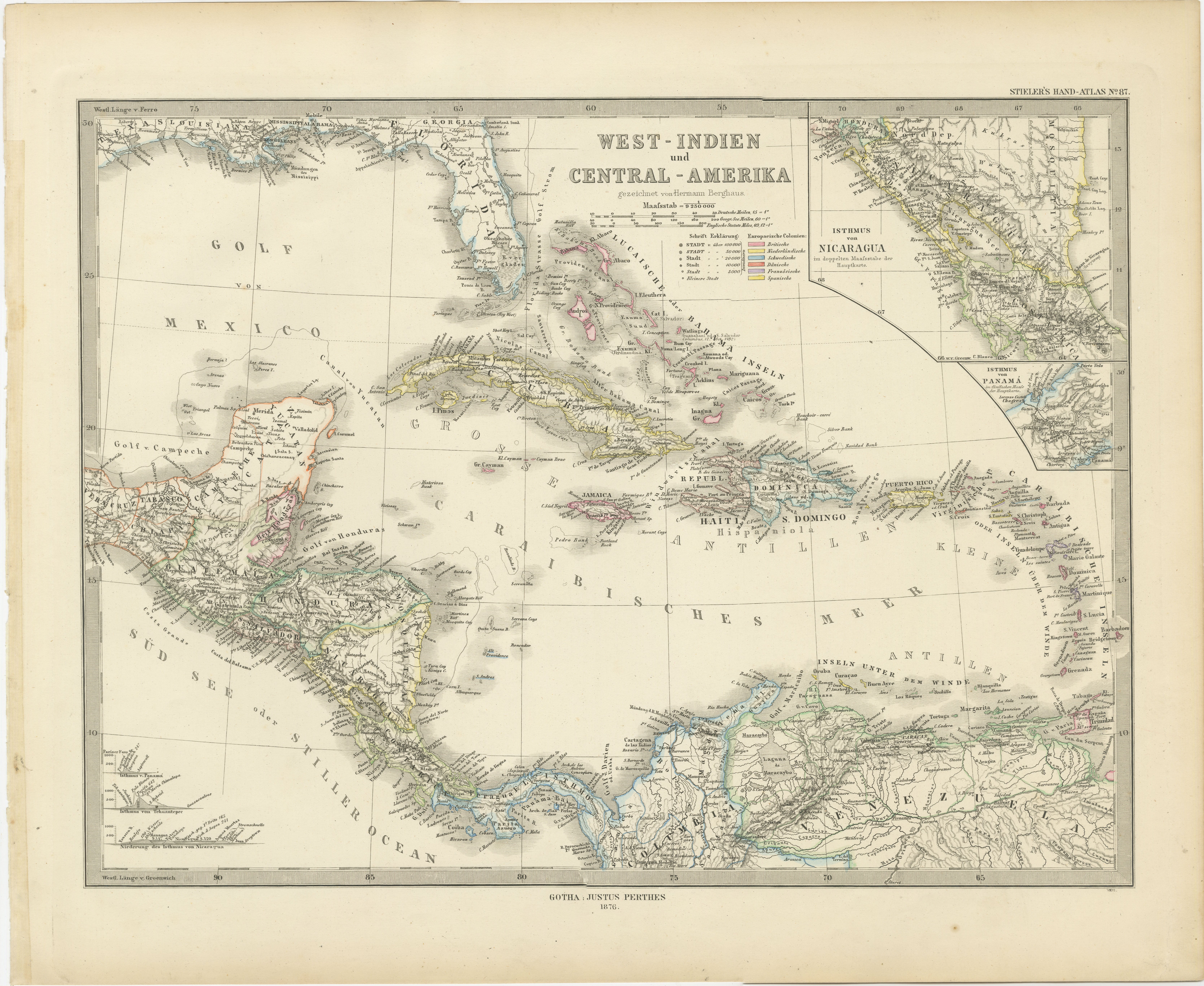
View All1880 Map of the Caribbean and Central America by Adolf Stieler
Located in Langweer, NL
This is a detailed map titled "West-Indien und Central-Amerika," created by Adolf Stieler and published in Gotha in 1880. The map covers the Caribbean islands and the Central America...
Category
Antique 1880s Maps
Materials
Paper
$277 Sale Price
20% Off
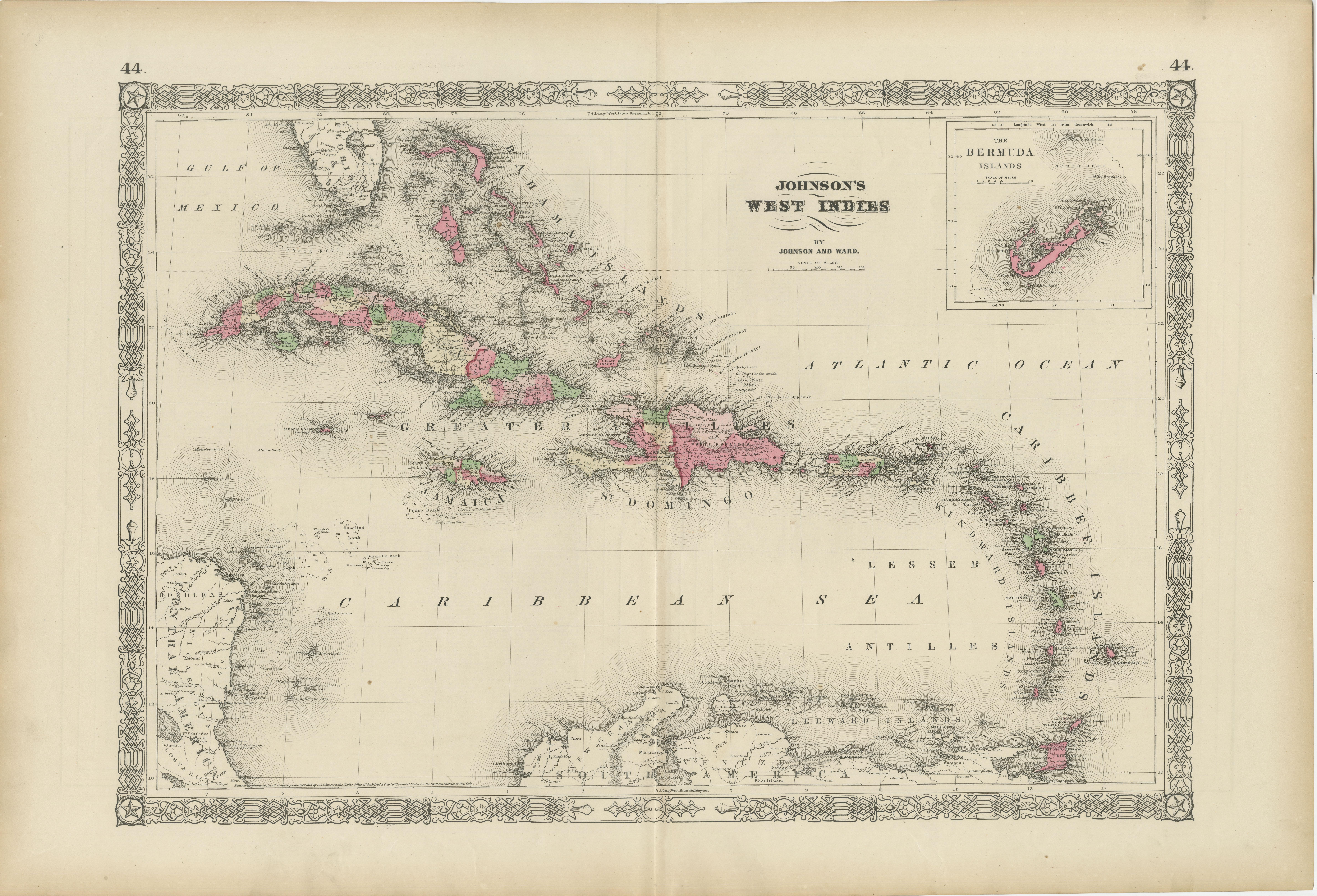
1864 Johnson's Map of the West Indies and Bermuda
Located in Langweer, NL
Title: 1864 Johnson's Map of the West Indies and Bermuda
Description: This is an 1864 map titled "Johnson's West Indies," published by Johnson and Ward. The map provides a detailed ...
Category
Antique 1860s Maps
Materials
Paper
$306 Sale Price
20% Off
Antique Map of Central America and the West Indies, 1882
Located in Langweer, NL
Antique map titled 'West India Islands and Central America'. Old map of Central America and the West Indies. This map originates from 'The Royal Atlas of Modern Geography, Exhibiting...
Category
Antique 19th Century Maps
Materials
Paper
$172 Sale Price
20% Off
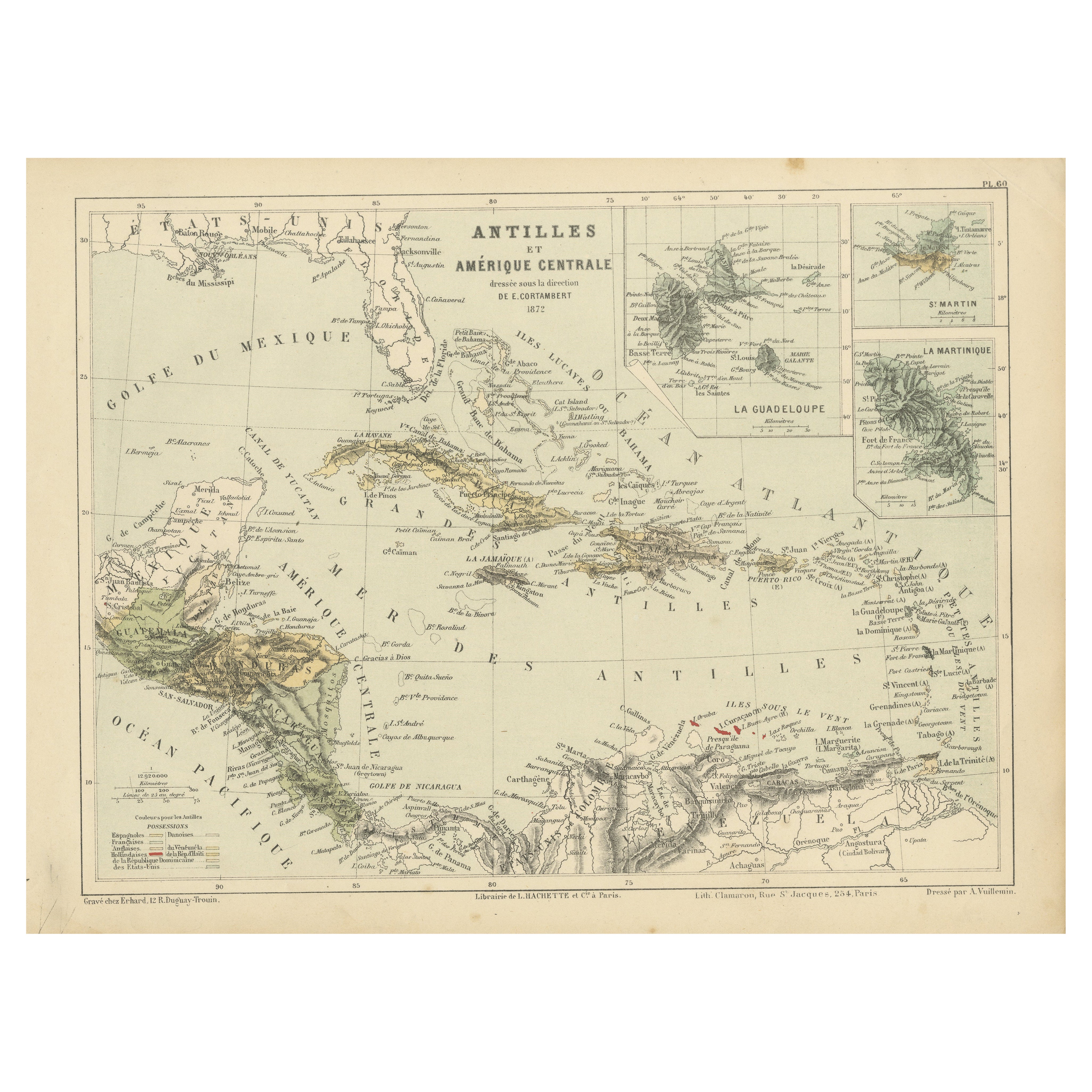
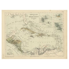
Antique Map of the Antilles and Central America – 1872
Located in Langweer, NL
Title: Antique Map of the Antilles and Central America – 1872
Description:
This finely detailed antique map, titled Antilles et Amérique Centrale, was published in 1872 under t...
Category
Antique 1870s Maps
Materials
Paper
Antique Map of the West Indies and Central America by W. G. Blackie, 1859
Located in Langweer, NL
Antique map titled 'The West India Island & Central America'. Original antique map of the West Indies and Central America, with inset map of Jamaica. Th...
Category
Antique Mid-19th Century Maps
Materials
Paper
$239 Sale Price
20% Off
Antique Map of the Antilles in the Caribbean, '1875'
Located in Langweer, NL
Antique map titled 'Carte des Iles Antilles'. Large map of the Antilles. This map originates from 'Atlas de Géographie Moderne Physique et Politique' by A. Levasseur. Published, 1875.
Category
Antique Late 19th Century Maps
Materials
Paper
$359 Sale Price
40% Off
You May Also Like
Original Antique Map of Central America / Florida, Arrowsmith, 1820
Located in St Annes, Lancashire
Great map of Central America.
Drawn under the direction of Arrowsmith.
Copper-plate engraving.
Published by Longman, Hurst, Rees, Orme and Brown, 1820
Unframed.
Category
Antique 1820s English Maps
Materials
Paper
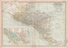
Central America. Century Atlas antique vintage map
Located in Melbourne, Victoria
'The Century Atlas. Central America.'
Original antique map, 1903.
Inset maps of 'The Country around Lake Nicaragua'.
Central fold as issued. Map name and number printed on the reve...
Category
Early 20th Century Victorian More Prints
Materials
Lithograph
India (Southern Sheet), English antique map by Alexander Keith Johnston, 1901
Located in Melbourne, Victoria
'India (Southern Sheet)', antique lithographic map by Keith Johnston.
Inset maps of 'Bombay Island & Town', 'Madras & Environs', and 'South-Eastern Provinces of India'.
Central vertical fold as issued.
495mm by 625mm (sheet)
Alexander Keith...
Category
Early 20th Century Victorian More Prints
Materials
Lithograph
Large Original Antique Map of The West Indies by Sidney Hall, 1847
Located in St Annes, Lancashire
Great map of The West Indies
Drawn and engraved by Sidney Hall
Steel engraving
Original colour outline
Published by A & C Black. 1847
Unframed
Free shipping.
Category
Antique 1840s Scottish Maps
Materials
Paper
South America, Eastern Part. Century Atlas antique vintage map
Located in Melbourne, Victoria
'The Century Atlas. South America. Eastern Part'
Original antique map, 1903.
Inset map 'Rio de Janeiro and Vicinity'.
Central fold as issued. Map name and number printed on the rev...
Category
Early 20th Century Victorian More Prints
Materials
Lithograph
Large Original Antique Map of The Leeward Islands. 1894
Located in St Annes, Lancashire
Superb Antique map of The Leeward Islands
Published Edward Stanford, Charing Cross, London 1894
Original colour
Good condition
Unframed.
Free shipping
Category
Antique 1890s English Maps
Materials
Paper
More Ways To Browse
India Engraving
Southern Colonial
Used Furniture Key West
Antique Wash Stand
Wood Wash Stand
Used Furniture Puerto Rico
Used Furniture Jamaica
Bahamas Furniture
Used Furniture Bahamas
Cuban Antiques
Antique Wash Stand Wood
Jamaican Wood Furniture
Antique Costa Rica
R Johnston
6x10 Rug
Styles Of Antique Desks
Black And White Coffee Table
Metal Relief
