Items Similar to Washington Oregon Idaho Map – Johnson, Hand-Colored, c.1864


Want more images or videos?
Request additional images or videos from the seller
1 of 11
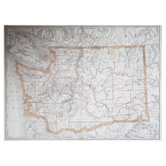
Washington Oregon Idaho Map – Johnson, Hand-Colored, c.1864
$256.23
£194.10
€220
CA$354.98
A$398.13
CHF 208.49
MX$4,837.65
NOK 2,647.52
SEK 2,510.04
DKK 1,675.03
About the Item
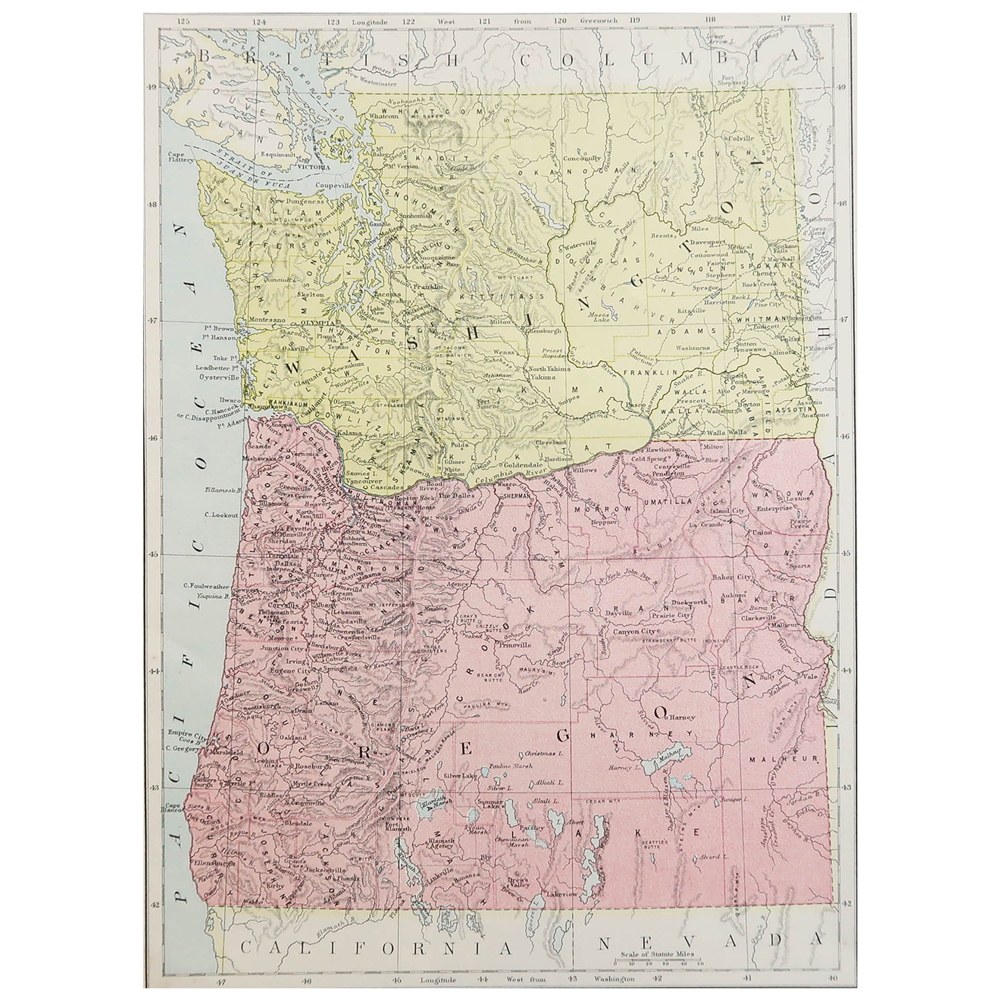
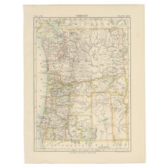
Johnson’s Washington Oregon Idaho Map, USA c.1864 – Hand-Colored
This is a finely engraved and hand-colored map titled Johnson’s Washington, Oregon, and Idaho, published by Johnson and Ward in New York circa 1864. It shows the northwestern United States with Washington Territory, Oregon, and the newly established Idaho Territory outlined and colored in pastel pink and green.
The map details counties, cities, towns, rivers, mountain ranges, and early transportation routes. Notable cities include Portland, Salem, Olympia, Lewiston, and Boise. The depiction of Idaho Territory is of particular historical interest as it was created in 1863, and the map reflects its earliest boundaries before later divisions created Montana and Wyoming territories.
Johnson’s distinctive decorative border frames the map with interlaced geometric and floral motifs. As leading American atlas publishers in the mid-19th century, Johnson and Ward combined cartographic accuracy with decorative presentation. Their maps of western territories are highly collectible for documenting early settlement, territorial changes, and the expansion of the United States into the Pacific Northwest.
Condition report:
Fair condition. Strong impression with bright original hand coloring. General age toning and minor marginal spots or handling marks typical for antique atlas maps. Small tape residue in upper left margin outside printed area as well as some tears in the borders. Wide margins and plate mark intact.
Framing suggestion:
Frame with a simple dark wood or black frame and an archival off-white or cream mat to highlight the pastel coloring and decorative border. Use UV-protective glass to preserve paper quality and prevent fading.
- Dimensions:Height: 14.06 in (35.7 cm)Width: 18 in (45.7 cm)Depth: 0.01 in (0.2 mm)
- Materials and Techniques:
- Place of Origin:
- Period:
- Date of Manufacture:circa 1864
- Condition:Fair condition. Strong impression with bright original hand coloring. General age toning and minor marginal spots or handling marks typical for antique atlas maps. Small tape residue in upper left margin outside printed area as well as some tears.
- Seller Location:Langweer, NL
- Reference Number:Seller: BG-13952-391stDibs: LU3054345730002
About the Seller
5.0
Recognized Seller
These prestigious sellers are industry leaders and represent the highest echelon for item quality and design.
Platinum Seller
Premium sellers with a 4.7+ rating and 24-hour response times
Established in 2009
1stDibs seller since 2017
2,517 sales on 1stDibs
Typical response time: <1 hour
- ShippingRetrieving quote...Shipping from: Langweer, Netherlands
- Return Policy
Authenticity Guarantee
In the unlikely event there’s an issue with an item’s authenticity, contact us within 1 year for a full refund. DetailsMoney-Back Guarantee
If your item is not as described, is damaged in transit, or does not arrive, contact us within 7 days for a full refund. Details24-Hour Cancellation
You have a 24-hour grace period in which to reconsider your purchase, with no questions asked.Vetted Professional Sellers
Our world-class sellers must adhere to strict standards for service and quality, maintaining the integrity of our listings.Price-Match Guarantee
If you find that a seller listed the same item for a lower price elsewhere, we’ll match it.Trusted Global Delivery
Our best-in-class carrier network provides specialized shipping options worldwide, including custom delivery.More From This Seller
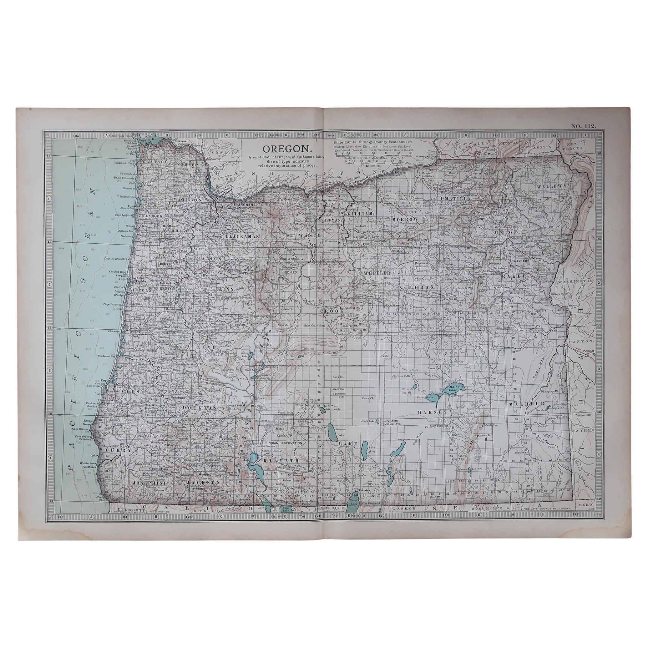
View AllAntique Map of Oregon
Located in Langweer, NL
Antique map titled 'Oregon'. Original antique map of Oregon, United States. This print originates from 'Encyclopaedia Britannica', Ninth Edition. Publish...
Category
Antique Late 19th Century Maps
Materials
Paper
$270 Sale Price
20% Off
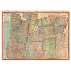
Colorful 1915 Road Map of Oregon with Portland Inset & Index – Geographical Pub.
Located in Langweer, NL
Colorful 1915 Road Map of Oregon with Portland Inset & Index – Geographical Pub.
Description:
This vibrant and information-rich folding map of Oregon, titled "Premier Series Oregon"...
Category
Vintage 1910s Maps
Materials
Paper
Antique Map of the United States 'North West' by Johnston, '1909'
Located in Langweer, NL
Antique map titled 'United States of North America'. Original antique map of the United States of North America ( North West ). This map originates from the ‘Royal Atlas of Modern Ge...
Category
Early 20th Century Maps
Materials
Paper

$232 Sale Price
20% Off
Map of Western United States 1903 – Railroads, State Borders, and Terrain
Located in Langweer, NL
Map of Western United States 1903 – Railroads, State Borders, and Terrain
This beautifully engraved map titled "United States of North America (Western Sheet)" was created by Keith ...
Category
Early 20th Century Maps
Materials
Paper

1874 Map of Western United States – Detailed Atlas by Keith Johnston
Located in Langweer, NL
1874 Map of Western United States by Keith Johnston – Detailed Atlas
This is an original antique map titled “United States of North America (Western States)” by Alexander Keith John...
Category
Antique 1870s Scottish Maps
Materials
Paper

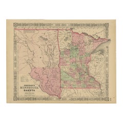
Minnesota and Dakota Map – Johnson, Hand-Colored, USA c.1864
Located in Langweer, NL
Johnson’s Minnesota and Dakota Map, USA c.1864 – Hand-Colored Territorial Map
Description:
This is a finely engraved and hand-colored map titled Johnson’s Minnesota and Dakota, pub...
Category
Antique Mid-19th Century American Maps
Materials
Paper
You May Also Like
Original Antique Map of the American State of Oregon, 1889
Located in St Annes, Lancashire
Great map of Oregon
Drawn and Engraved by W. & A.K. Johnston
Published By A & C Black, Edinburgh.
Original colour
Unframed.
Category
Antique 1880s Scottish Victorian Maps
Materials
Paper
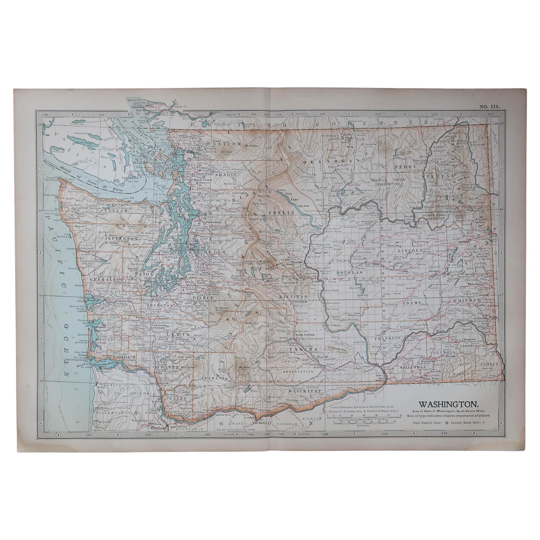
Original Antique Map of the American State of Washington, 1889
Located in St Annes, Lancashire
Great map of Washington
Drawn and Engraved by W. & A.K. Johnston
Published By A & C Black, Edinburgh.
Original colour
Unframed.
Category
Antique 1880s Scottish Victorian Maps
Materials
Paper

Original Antique Map of the American State of Oregon, 1903
Located in St Annes, Lancashire
Antique map of Oregon
Published By A & C Black. 1903
Original colour
Good condition
Unframed.
Free shipping
Category
Antique Early 1900s English Maps
Materials
Paper

Original Antique Map of the American State of Washington, 1903
Located in St Annes, Lancashire
Antique map of Washington
Published By A & C Black. 1903
Original colour
Good condition
Unframed.
Free shipping
Category
Antique Early 1900s English Maps
Materials
Paper

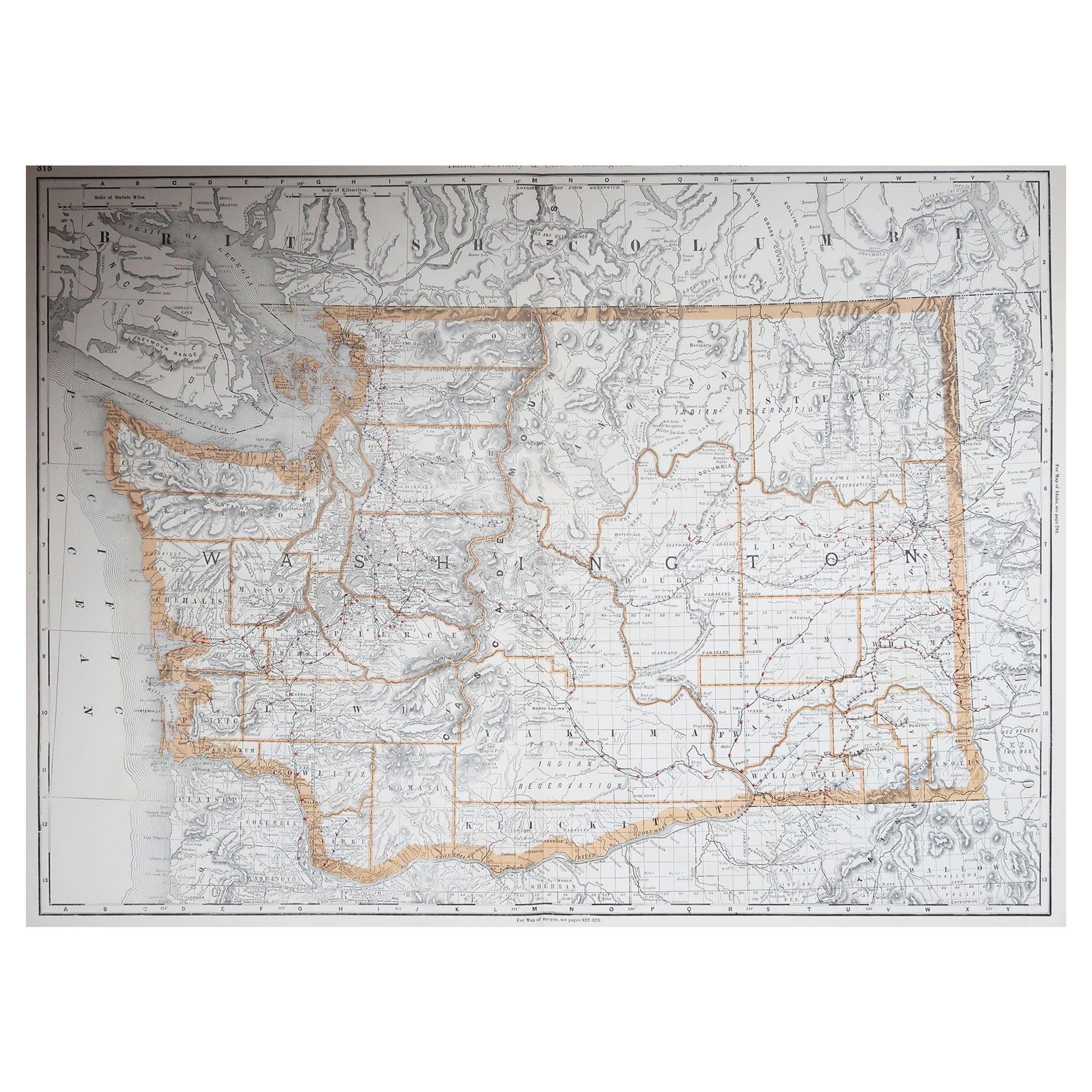
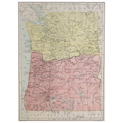
Large Original Antique Map of The State of Washington, USA, 1894
By Rand McNally & Co.
Located in St Annes, Lancashire
Fabulous map of Washington.
Original color.
By Rand, McNally & Co.
Published, 1894.
Unframed.
Free shipping.
Category
Antique 1890s American Maps
Materials
Paper
Large Original Antique Map of Oregon, USA, 1894
By Rand McNally & Co.
Located in St Annes, Lancashire
Fabulous map of Oregon.
Original color.
By Rand, McNally & Co.
Published, 1894.
Unframed.
Free shipping.
Category
Antique 1890s American Maps
Materials
Paper
More Ways To Browse
Pacific Northwest Furniture
Antique Portland Glass
Curved Velvet Couch
Velvet Curved Sofa
Wood Round Coffee Tables
Oak Brutalist
Used College Furniture
Wood Minimalist Chair
Antique Imperial Furniture
Gold Modern Coffee Table
Large Side Tables
18th Century Gilded Furniture
Fluted Column
Japanese Silver Ceramics
One Of A Kind Chair
Used Oak Dining Room Chairs
17th Century Plate
Childrens Vintage Poster