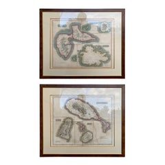
Pair of Engraved Maps by Kirkwood & Son of Edinburgh of West India Islands
View Similar Items


1 of 18
Pair of Engraved Maps by Kirkwood & Son of Edinburgh of West India Islands
$3,850List Priceper set
About the Item
- Dimensions:Height: 29 in (73.66 cm)Width: 33.5 in (85.09 cm)Depth: 0.5 in (1.27 cm)
- Sold As:Set of 2
- Place of Origin:
- Period:
- Date of Manufacture:circa 1814
- Condition:Wear consistent with age and use.
- Seller Location:Atlanta, GA
- Reference Number:Seller: 18-ART-0431stDibs: LU827212984921
Authenticity Guarantee
In the unlikely event there’s an issue with an item’s authenticity, contact us within 1 year for a full refund. DetailsMoney-Back Guarantee
If your item is not as described, is damaged in transit, or does not arrive, contact us within 7 days for a full refund. Details24-Hour Cancellation
You have a 24-hour grace period in which to reconsider your purchase, with no questions asked.Vetted Professional Sellers
Our world-class sellers must adhere to strict standards for service and quality, maintaining the integrity of our listings.Price-Match Guarantee
If you find that a seller listed the same item for a lower price elsewhere, we’ll match it.Trusted Global Delivery
Our best-in-class carrier network provides specialized shipping options worldwide, including custom delivery.You May Also Like
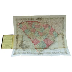
Antique Engraved Hand Colored Colton & Co. Pocket Book Map of South Carolina
By G.W. & C.B. Colton
Located in CHARLESTON, SC
Very fine and rare hand colored antique engraved G. W. & C.B. Colton & Co. "Book Map" on onion skin paper of South Carolina, 1874
Published at 172 William Street, New York
Below date of "1874" says the following:
Entered according to the Act of Congress in the year 1855 by J. H. Colton, in the clerks office of the district court
of the United States for the Southern District of New York.
Title of pocket book...
Category
Antique Late 19th Century American Prints
Materials
Paper
$695 Sale Price
48% Off
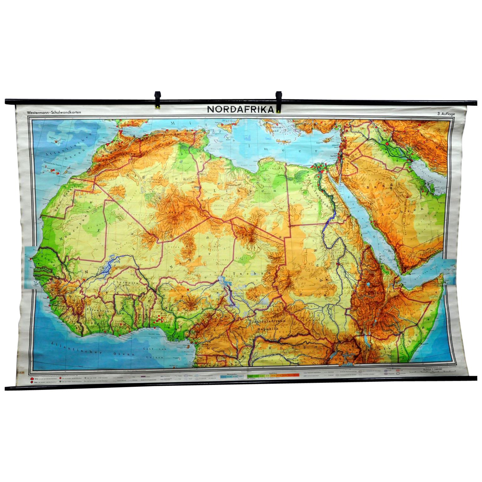
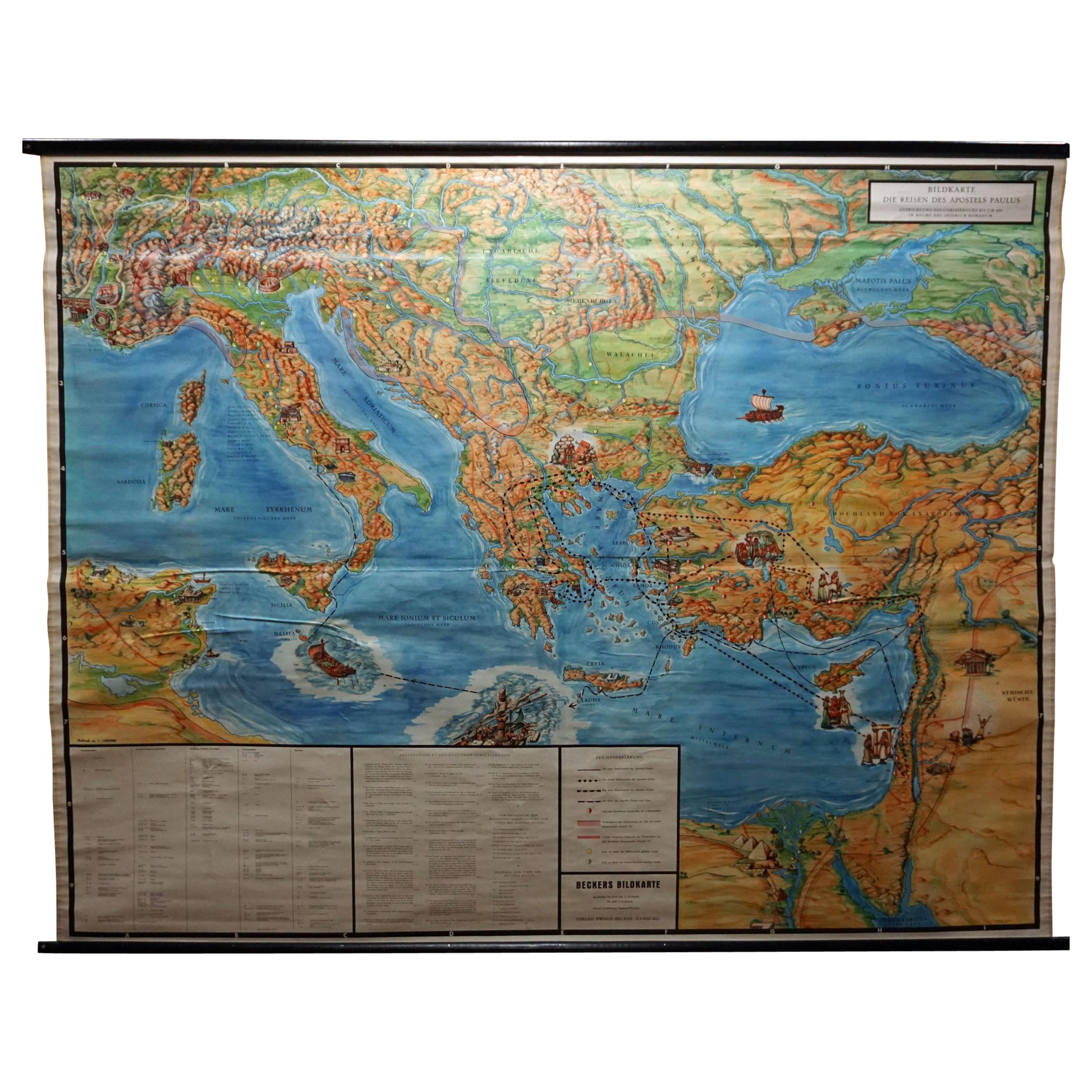
Middle East Saudia Arabia Israel India Map Rollable Mural Vintage Wall Chart
Located in Berghuelen, DE
The pull-down school map is depicting the region of the Middle East (Turkey, Israel, Egypt, Saudi Arabia, Irak, Iran etc.) and India, Himalaya. Used as teaching material in German sc...
Category
Late 20th Century German Country Prints
Materials
Canvas, Wood, Paper
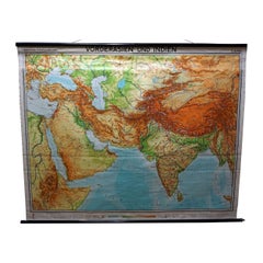
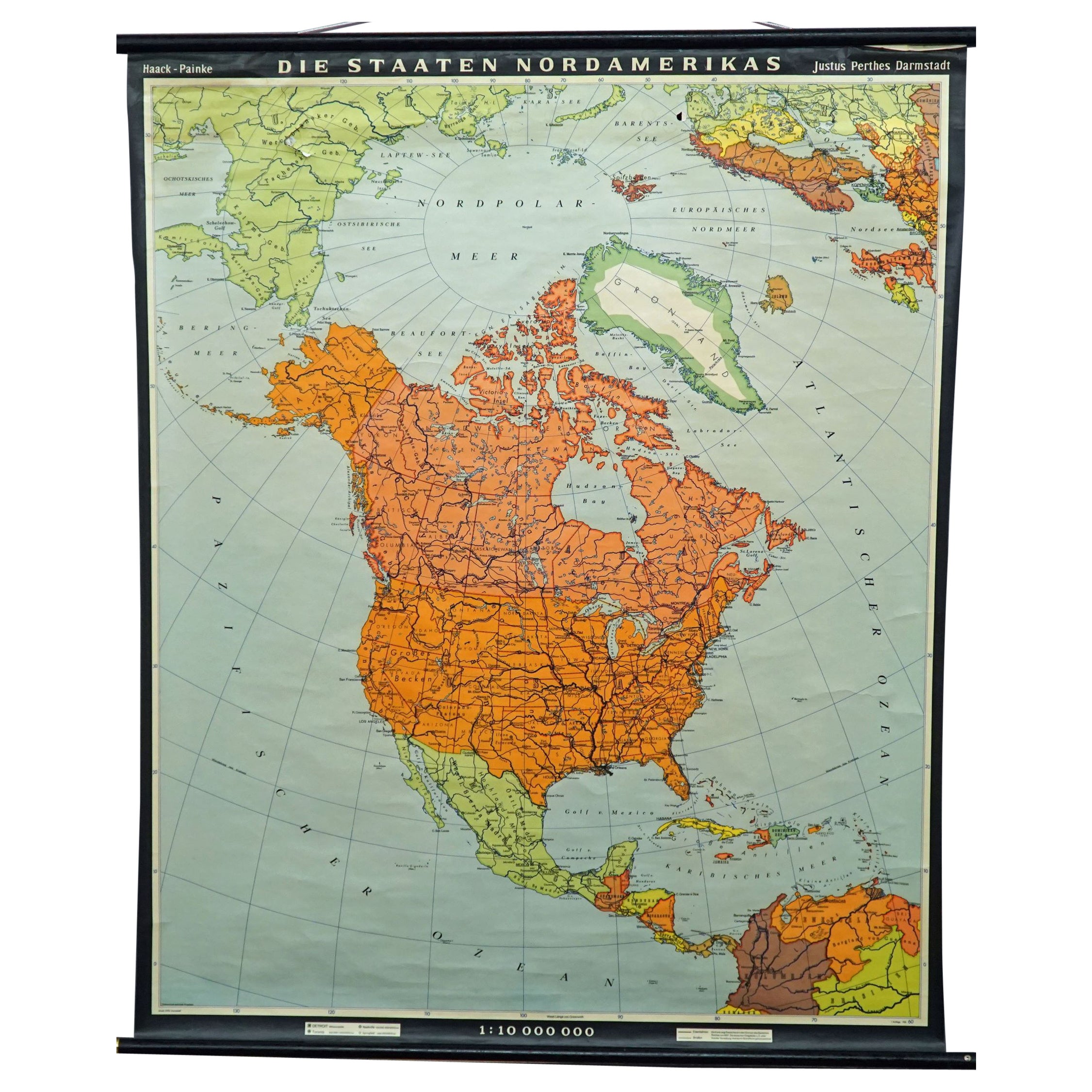
Vintage Mural Pull-Down Map Asia China Japan India Russia Wall Chart Poster
Located in Berghuelen, DE
The impressive rollable wall map shows the continent of Asia (among others China, Japan, India and Russia), published by Westermann. Colorful print on paper reinforced with canvas.
M...
Category
Late 20th Century German Country Prints
Materials
Canvas, Wood, Paper

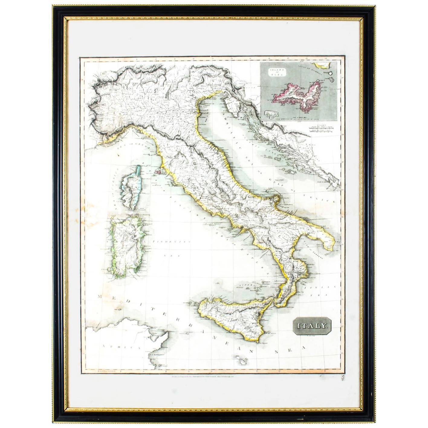
Antique Map of Italy Drawn & Engraved by R. Scott for Thomsons, Edinburgh 1814
Located in London, GB
This is a magnificent museum quality antique hand-coloured map of Italy, dating from 1814.
This historic and very rare antique map was drawn and engraved by R. Scott for Thomsons, New General Atlas, Edinburgh.
The map is very detailed and the various colours - yellow, grey and green - beautifully highlight the different natural and political divisions of Italy as it was before the Italian Unification...
Category
Antique 1810s Scottish Prints
Materials
Other

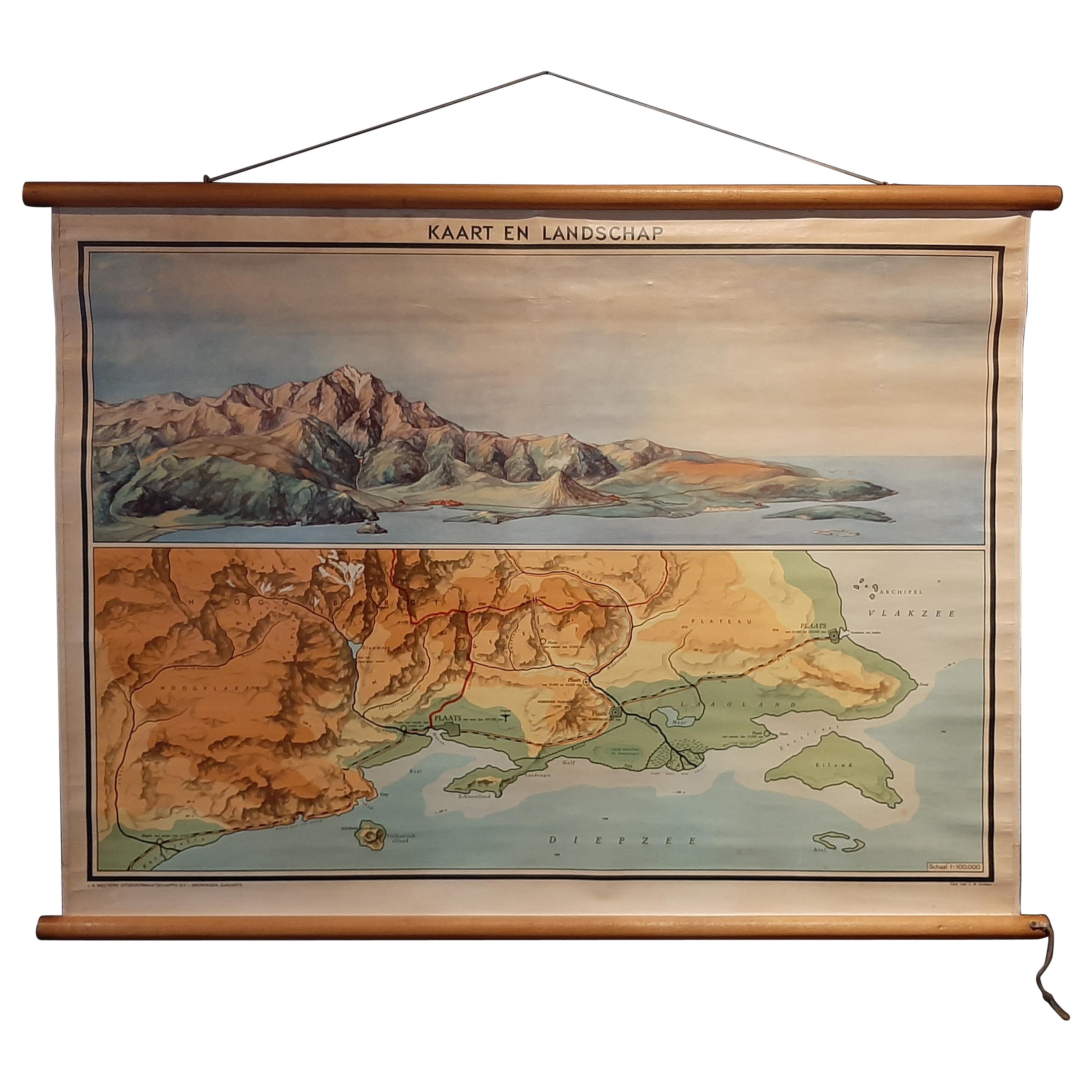
Vintage Wall Chart of a Landscape and Geographic Map, circa 1955
Located in Langweer, NL
Vintage wall chart titled 'Kaart en Landschap'. This wall chart shows a mountain range and geographic map. Published by J.B. Wolters, circa 1955.
Category
Mid-20th Century Prints
Materials
Paper

$574 Sale Price
20% Off
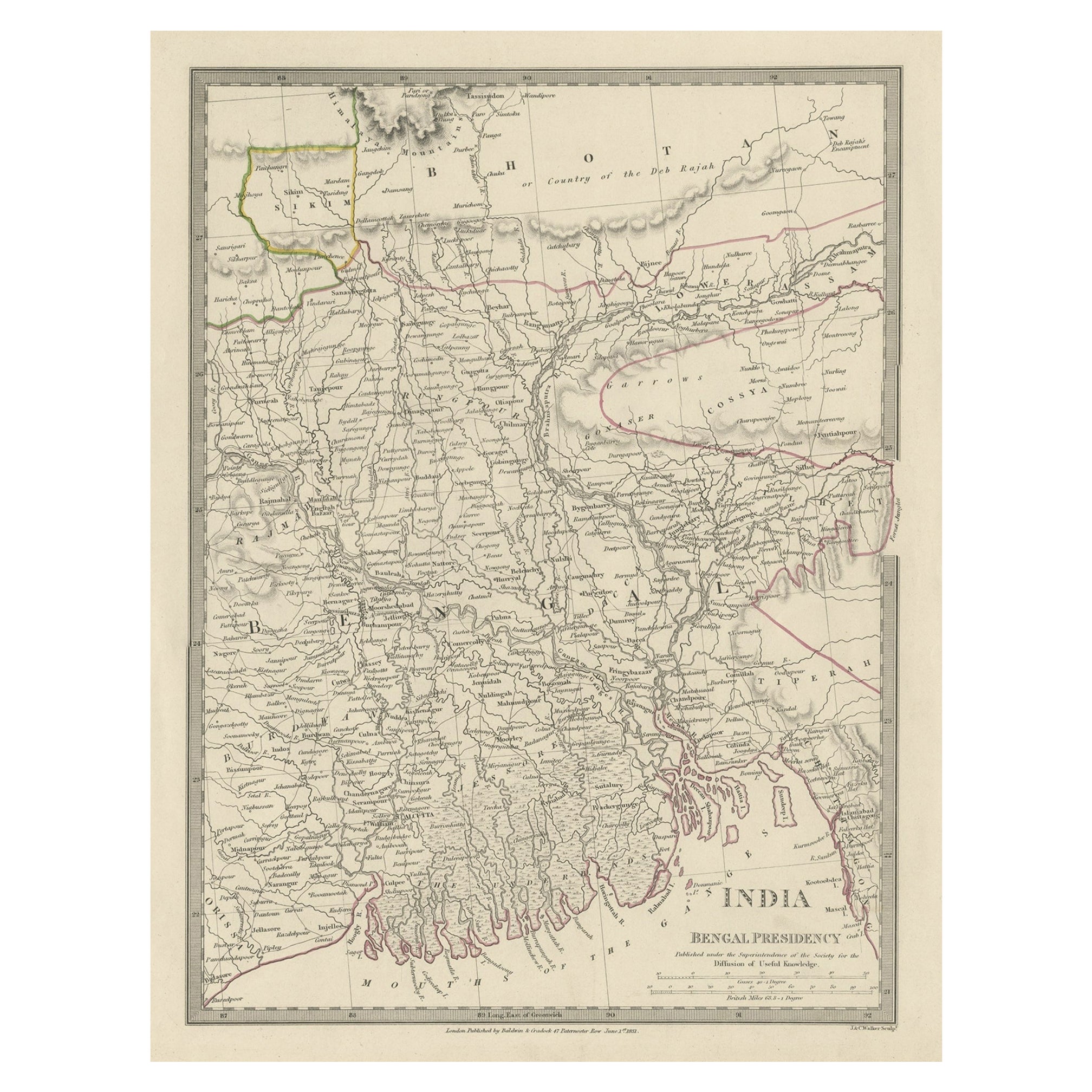
Steel Engraved Map of Part of the Bengal Presidency 'India & Bangladesh', 1831
Located in Langweer, NL
Antique map titled 'India Bengal Presidency'. Old steel engraved map of part of the Bengal Presidency. The Bengal Presidency (1757–1912), later reorganized as the Bengal Province (19...
Category
Antique 1830s Maps
Materials
Paper
$353 Sale Price
20% Off
Recently Viewed
View AllMore Ways To Browse
Grouse Print
Antique Nursery Rhyme
Antique Rabbit Print
Engravings Hunt Scenes
Vintage Wall Registers
Will Sampson
Antique Furniture Lebanon
Joan Miro Glass
Antique Musket
Large Used Greenhouses
Botanical Prints 17th Century
Knights Of Malta
Maastricht Plate
Middle Eastern Plate
Set Of 4 Botanical Prints
Wall Plates Jesus
Antique Halberd
Order Of Malta