Items Similar to China and Japan, English antique map by Alexander Keith Johnston, 1901


Want more images or videos?
Request additional images or videos from the seller
1 of 5
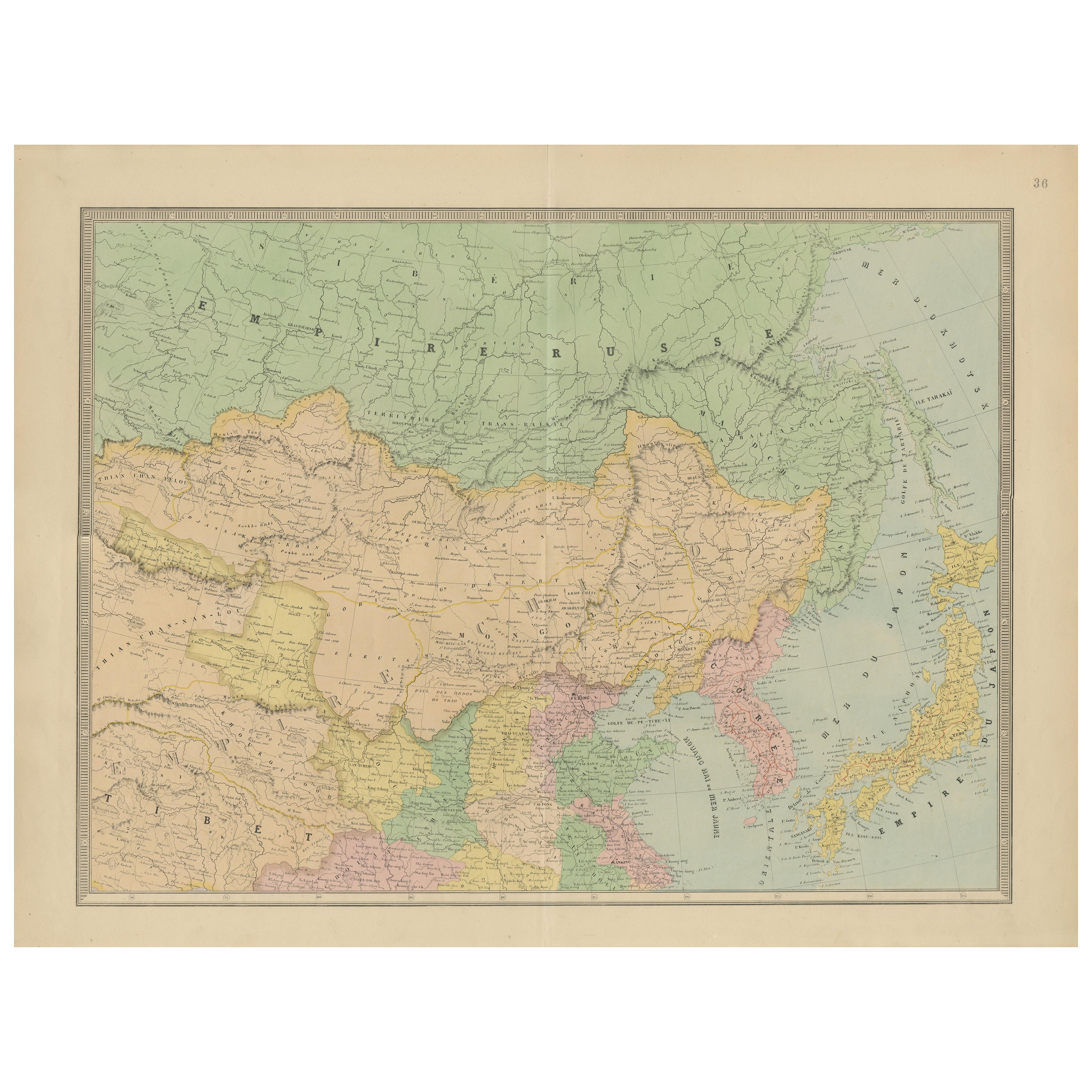
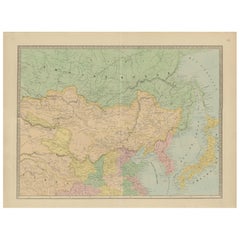
China and Japan, English antique map by Alexander Keith Johnston, 19011901
1901
$280
£212.31
€245.16
CA$392.86
A$437.70
CHF 230.85
MX$5,306.42
NOK 2,936.68
SEK 2,735.71
DKK 1,831.12
About the Item
'China and Japan', antique lithographic map by Keith Johnston.
Central vertical fold as issued.
495mm by 625mm (sheet)
Alexander Keith Johnston FRSE FRGS FGS FEGS LLD (1804 – 1871) was a Scottish geographer and cartographer. In 1826, he joined his brother William in a printing and engraving business, forming the well-known cartographical firm of W. and A. K. Johnston.
- Creation Year:1901
- Dimensions:Height: 19.49 in (49.5 cm)Width: 24.61 in (62.5 cm)
- Medium:
- Movement & Style:
- After:Alexander Keith Johnston (1804 - 1871, British)
- Period:
- Condition:A couple of very faint marks in the margins. Central vertical fold as issued.
- Gallery Location:Melbourne, AU
- Reference Number:1stDibs: LU124427851472
About the Seller
5.0
Platinum Seller
Premium sellers with a 4.7+ rating and 24-hour response times
Established in 2005
1stDibs seller since 2019
591 sales on 1stDibs
Typical response time: <1 hour
- ShippingRetrieving quote...Shipping from: Melbourne, Australia
- Return Policy
Authenticity Guarantee
In the unlikely event there’s an issue with an item’s authenticity, contact us within 1 year for a full refund. DetailsMoney-Back Guarantee
If your item is not as described, is damaged in transit, or does not arrive, contact us within 7 days for a full refund. Details24-Hour Cancellation
You have a 24-hour grace period in which to reconsider your purchase, with no questions asked.Vetted Professional Sellers
Our world-class sellers must adhere to strict standards for service and quality, maintaining the integrity of our listings.Price-Match Guarantee
If you find that a seller listed the same item for a lower price elsewhere, we’ll match it.Trusted Global Delivery
Our best-in-class carrier network provides specialized shipping options worldwide, including custom delivery.More From This Seller
View AllIndia (Southern Sheet), English antique map by Alexander Keith Johnston, 1901
Located in Melbourne, Victoria
'India (Southern Sheet)', antique lithographic map by Keith Johnston.
Inset maps of 'Bombay Island & Town', 'Madras & Environs', and 'South-Eastern Provinces of India'.
Central vertical fold as issued.
495mm by 625mm (sheet)
Alexander Keith...
Category
Early 20th Century Victorian More Prints
Materials
Lithograph

Africa. North-East Part. Century Atlas antique vintage map
Located in Melbourne, Victoria
'The Century Atlas. Africa. North-East Part'
Original antique map, 1903.
Inset map of 'Nile Delta and Suez Canal'.
Central fold as issued. Map name and nu...
Category
Early 20th Century Victorian More Prints
Materials
Lithograph

Russia, Western and Southern Part. Century Atlas antique vintage map
Located in Melbourne, Victoria
'The Century Atlas. Russia, Western and Southern Part'
Original antique map, 1903.
Inset map tilted 'St Petersburg and Environs'.
Central fold as issued. Map name and number printe...
Category
Early 20th Century Victorian More Prints
Materials
Lithograph

Africa. North-West Part. Century Atlas antique vintage map
Located in Melbourne, Victoria
'The Century Atlas. Africa. Southern Part'
Original antique map, 1903.
Central fold as issued. Map name and number printed on the reverse corners.
Sheet 40cm by 29.5cm.
Category
Early 20th Century Victorian More Prints
Materials
Lithograph

South America, Eastern Part. Century Atlas antique vintage map
Located in Melbourne, Victoria
'The Century Atlas. South America. Eastern Part'
Original antique map, 1903.
Inset map 'Rio de Janeiro and Vicinity'.
Central fold as issued. Map name and number printed on the rev...
Category
Early 20th Century Victorian More Prints
Materials
Lithograph

Africa. Central. Century Atlas antique vintage map
Located in Melbourne, Victoria
'The Century Atlas. Africa. Central'
Inset map of 'Madagascar'.
Original antique map, 1903.
Central fold as issued. Map name and number printed on the reverse corners.
Sheet 29.5cm...
Category
Early 20th Century Victorian More Prints
Materials
Lithograph

You May Also Like
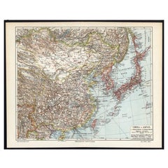
Antique Map of China, Taiwan, Korea, Hong-Kong and Japan, 1903
Located in Langweer, NL
Antique Map of China, Taiwan, Korea, Hong-Kong and Japan, 1903
Description: This antique map, titled "India (Southern Sheet) and the South Eastern Provinces," was engraved and publi...
Category
Early 20th Century Maps
Materials
Paper
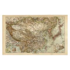
Antique Map of China and Japan by A.K. Johnston, 1865
Located in Langweer, NL
Antique map titled 'China and Japan'. Depicting Eastern China, the Islands of Japan and more. This map originates from the ‘Royal Atlas of Modern Geography’ by Alexander Keith Johnst...
Category
Antique Mid-19th Century Maps
Materials
Paper

$285 Sale Price
20% Off
Antique Map of China and Japan by Johnson, 1872
Located in Langweer, NL
Antique map titled 'Johnson's China and Japan'. Map of China and Japan, with an inset map of the vicinity of Canton and Hong Kong. This map originates from 'Johnson's New Illustrated...
Category
Antique Late 19th Century Maps
Materials
Paper

$285 Sale Price
20% Off
Antique Map of China, Japan & Korea – Eastern Asia by Andriveau-Goujon, 1860
Located in Langweer, NL
Antique Map of China, Japan & Korea – Eastern Asia by Andriveau-Goujon, 1860
This beautifully hand-colored antique map, titled “Carte de la Chine, de la Corée et du Japon,” was publ...
Category
Antique Mid-19th Century French Maps
Materials
Paper
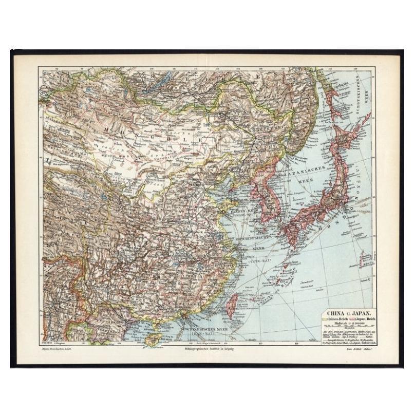
German Antique Map of China And Japan by Meyer, 1902
Located in Langweer, NL
Antique map titled 'China und Japan.' (Map of China and Japan). This attractive original old antique print / plate / map originates from the 6th edition of a famous German encycloped...
Category
20th Century Maps
Materials
Paper
$76 Sale Price
20% Off
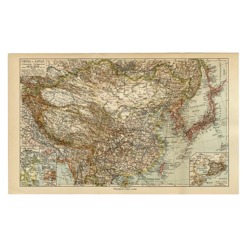
Antique Map of China and Japan by Meyer, 1895
Located in Langweer, NL
Antique map titled 'China und Japan'. Map of China, Mongolia, Taiwan and Japan. With an inset map of Jiaozhou Wan near Qingdao, and another of the region around Hongkong, including Kanton and Macau, with small plans of Hong Kong and Kanton. This map originates from a 1885-1907 edition of a famous German encyclopedia titled 'Meyers grosses Konversations-Lexikon', published in Leipzig and Vienna. Meyers Konversations-Lexikon was a major German encyclopedia that existed in various editions from 1839 until 1984, when it merged with the Brockhaus encyclopedia. Several of the plates were also used in Dutch Encyclopedia's like Winkler Prins...
Category
Antique 19th Century Maps
Materials
Paper
$80 Sale Price
20% Off