Items Similar to Small Antique Baedeker's South Eastern France Guide Book, Provence, Travel Maps


Want more images or videos?
Request additional images or videos from the seller
1 of 13
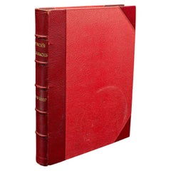
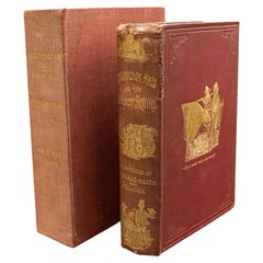
Small Antique Baedeker's South Eastern France Guide Book, Provence, Travel Maps
$549.83
£401
€467.68
CA$752.91
A$837.13
CHF 437.10
MX$10,189.94
NOK 5,577.26
SEK 5,225.63
DKK 3,490.37
Shipping
Retrieving quote...The 1stDibs Promise:
Authenticity Guarantee,
Money-Back Guarantee,
24-Hour Cancellation
About the Item
This is a delightful antique edition of Baedeker's South Eastern France guide book, complete with superb fold-out maps, centre-fold maps and informative text. A bound and intact late Victorian copy, with light period markings, offering a fascinating glimpse into turn of the century European travel.
Original Baedeker guide, focusing on South Eastern France, including Provence, the Riviera and the French Alps
Bound in red cloth boards, with characteristic gilt titling to the cover and spine
Superb collection of fold-out and centrefold maps, many in colour, offering intricate geographical detail
Published in English across 322 pages with light, sympathetic markings with age and careful use
Highly informative text, offering rich historical context, cultural notes, and travel advice
Compact and portable, designed for the discerning Victorian traveller
A sought-after collectible for bibliophiles, cartography enthusiasts, and lovers of French history
Excellent reference piece for study, display, or gift giving
This is an evocative and richly detailed antique travel guide, ideal for complementing any country house library or travel memorabilia collection. Delivered ready to enjoy.
Dimensions:
Max Width: 11cm (4.25'')
Max Depth: 2.5cm (1'')
Max Height: 16cm (6.25'')
- Dimensions:Height: 6.3 in (16 cm)Width: 4.34 in (11 cm)Depth: 0.99 in (2.5 cm)
- Style:Late Victorian (Of the Period)
- Materials and Techniques:
- Place of Origin:
- Period:
- Date of Manufacture:Circa 1900
- Condition:Wear consistent with age and use. Presented in original, intact time-worn condition.
- Seller Location:Hele, Devon, GB
- Reference Number:Seller: 252811stDibs: LU2645344851782
About the Seller
5.0
Platinum Seller
Premium sellers with a 4.7+ rating and 24-hour response times
Established in 2005
1stDibs seller since 2017
1,031 sales on 1stDibs
Typical response time: 1 hour
- ShippingRetrieving quote...Shipping from: Hele, Devon, United Kingdom
- Return Policy
Authenticity Guarantee
In the unlikely event there’s an issue with an item’s authenticity, contact us within 1 year for a full refund. DetailsMoney-Back Guarantee
If your item is not as described, is damaged in transit, or does not arrive, contact us within 7 days for a full refund. Details24-Hour Cancellation
You have a 24-hour grace period in which to reconsider your purchase, with no questions asked.Vetted Professional Sellers
Our world-class sellers must adhere to strict standards for service and quality, maintaining the integrity of our listings.Price-Match Guarantee
If you find that a seller listed the same item for a lower price elsewhere, we’ll match it.Trusted Global Delivery
Our best-in-class carrier network provides specialized shipping options worldwide, including custom delivery.More From This Seller
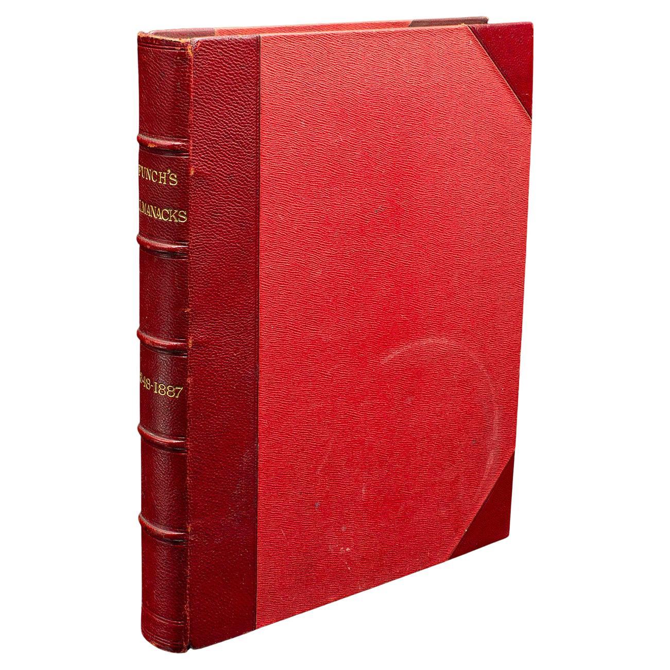
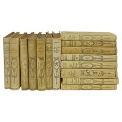
View AllAntique Punch Book, Almanac Compendium, English, Humour, Illustrated, Victorian
Located in Hele, Devon, GB
This is an antique Punch's almanac compendium for 1848-1887. An English, bound illustrated annual set, dating to the late Victorian period, circa 1880.
Established in 1841, Punch ma...
Category
Antique 1880s British Late Victorian Books
Materials
Textile, Paper
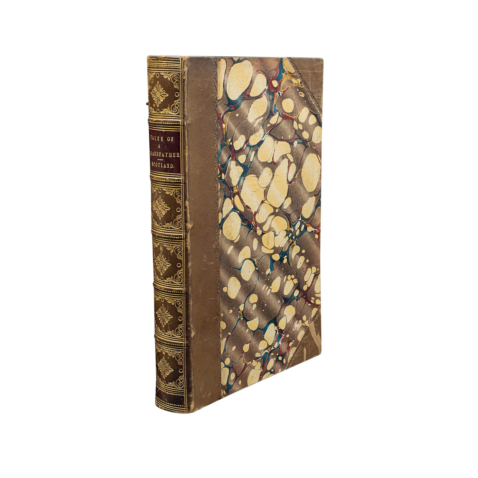
Antique Scottish History Book, Tales of a Grandfather, Walter Scott, Victorian
Located in Hele, Devon, GB
This is an antique compendium book of Scottish history, Tales of a Grandfather by Walter Scott. An English language, hard bound title, printed in E...
Category
Antique Mid-19th Century British Victorian Books
Materials
Paper
Antique Equestrian Reference Book, Modern Practical Farriery, English, Victorian
Located in Hele, Devon, GB
This is an antique reference title - Modern Practical Farriery, by W.J. Miles et al. An English language, hard bound non-fiction book, dating to the late Victorian period, circa 1900.
Full title, as follows: Modern practical farriery - a complete guide to all that relates to the horse, its history, varieties, and uses; breaking, training, feeding, stabling, and grooming; how to buy, keep and treat a horse in health and disease, etc.; forming a complete system of the veterinary art, as at present practised at the Royal Veterinary College, London / by W.J. Miles, M.R.C.V.S.L.; with numerous illustrations and a series of anatomical plates, engraved from original drawings from nature, by Benjamin Herring, Esq.; to which is added an essay on the diseases and management of cattle, sheep, and pigs by J.L. Lupton, M.R.C.V.S.
Intact order, with some light marks but remarkably presentable for age and intended use
Superb frontispiece in colour, redolent of contemporary William Morris print...
Category
Antique Late 19th Century British Late Victorian Books
Materials
Paper
Antique Book, Days of King Arthur, Mythology, English, Fiction, Late Victorian
Located in Hele, Devon, GB
This is an antique mythology book, Days of King Arthur by Charles Henry Hanson. An English language, hard bound fictional work with illustrations by Gus...
Category
Antique Late 19th Century British Late Victorian Books
Materials
Paper
Antique Book in Case, Hillingdon Hall or the Cockney Squire, English, Victorian
Located in Hele, Devon, GB
This is an antique cased copy of Hillingdon Hall or The Cockney Squire. An English language novel published in the Victorian era, this edition dated 1888.
Originally written in 1845...
Category
Antique Late 19th Century British Victorian Books
Materials
Paper
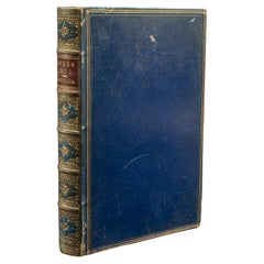
Antique Book, Bones and I, Whyte-Melville, English, Novel, Victorian, Circa 1880
Located in Hele, Devon, GB
This is an antique book, Bones & I by George Whyte-Melville. An English language, bound novel, dating to the late Victorian period, circa 1880.
First published in 1868, Bones & I is a humorous novel written about a man - Jack Raggles - who gains possession of a human skeleton. Written by George Whyte-Melville (1821 - 1878), the book is a comedic and macabre blend of satire and class division.
Nicely presented example of this unusual title
Displays a desirable aged patina, lightly time-worn but intact
Bound with cloth over board in navy blue with gold...
Category
Antique Late 19th Century British Late Victorian Books
Materials
Paper
You May Also Like
Series of Small French Books
Located in Alessandria, Piemonte
Series of nr. 15 small French books, with many stories and cute illustrations: pleasant to read , small and tidy in a library.
nr. O/4561.
Category
Antique Late 19th Century French Other Books
Materials
Paper
$287 / set
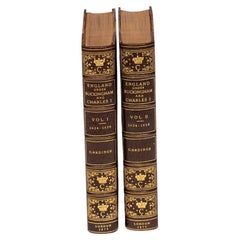
2 Volumes. Samuel Rawson Gardiner, A History of England.
Located in New York, NY
2 Volumes. Samuel Rawson Gardiner, A History of England. Bound in 3.4 brown morocco and linen boards. The covers and raised band spines display ornate gilt-tooling. The top edges are...
Category
Antique Late 19th Century English Books
Materials
Leather
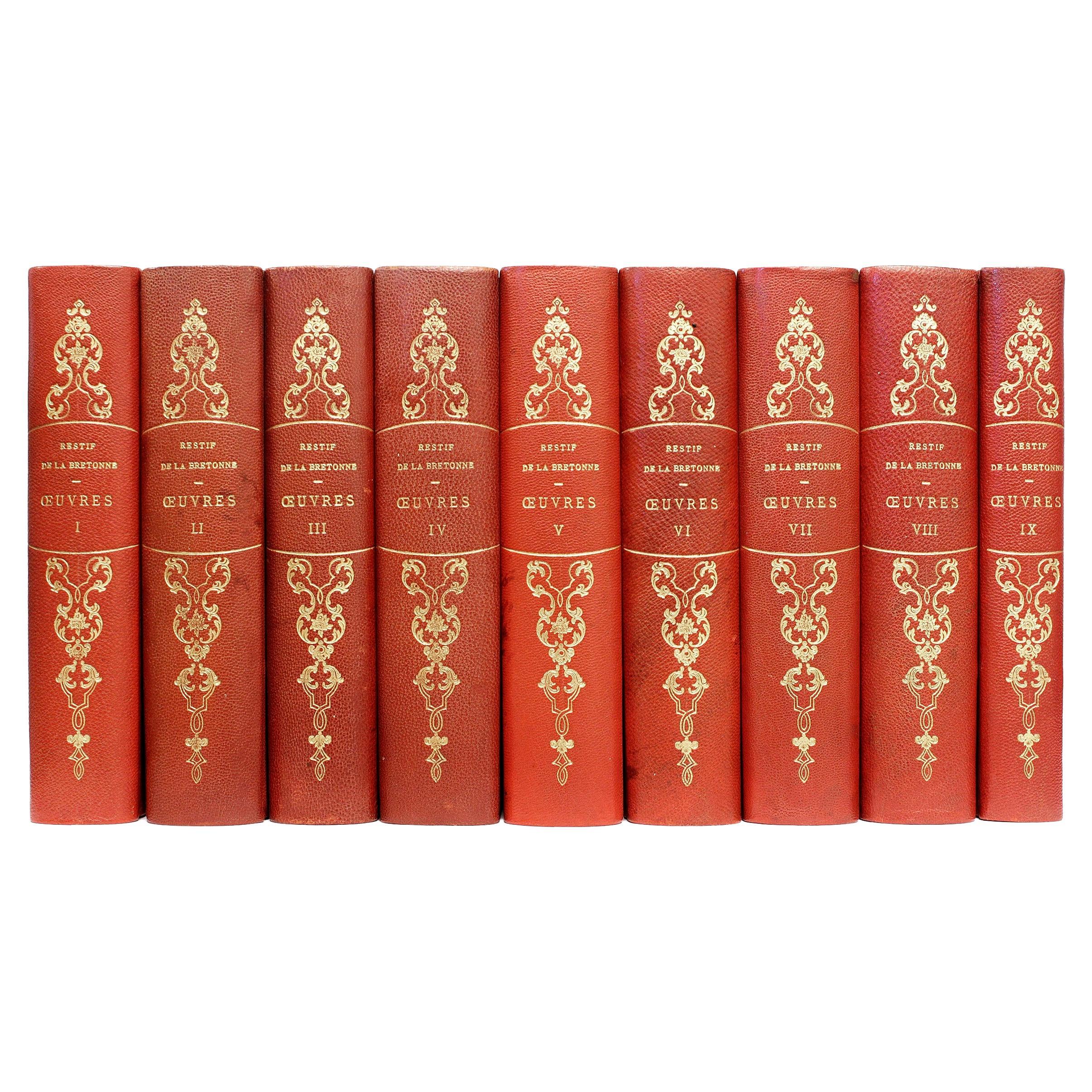
L'Oeuvre de Restif de La Bretonne. 9 vols. - illustrated - IN A FINE BINDING !
Located in Hillsborough, NJ
AUTHOR: BRETONNE, Nicolas Restif de La.
TITLE: L'Oeuvre de Restif de La Bretonne. 1 - Les Nuits de Paris, 2 - Les Contemporaines, 3 - Le Pornographe, 4 - La Vie de mon Pere, 5 - Le...
Category
Vintage 1930s American Books
Materials
Leather
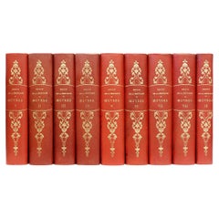
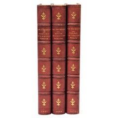
Set of 3 French Books
Located in San Francisco, CA
C. 19th century
Set of 3 French books
Books:
AM Thierry - N'ouveaux Recits ( De L' Histoire Romaine )
AM Thierry - Recits ( De L' Histoire Romaine )
AM Thierry - Tableau (...
Category
Antique 19th Century Books
Materials
Paper
$375 / set
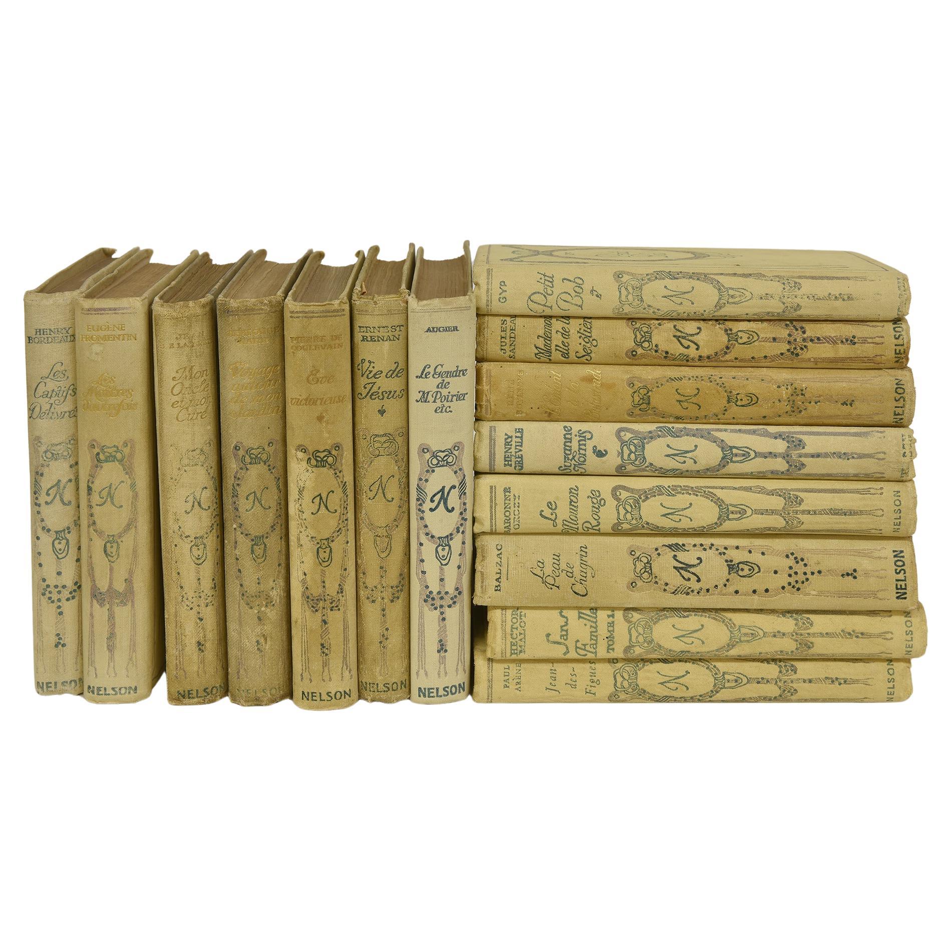
Antique Rolland Books in French Language
Located in Alessandria, Piemonte
nr. 9 books - owner Rolland - various titles and authors : Les maitres d'autrefois (Eugène Fromentin) - Petit Bob (GyP) - Voyage autour de mon jardin (Alphonse Karr) - Sans famille (...
Category
Antique Late 19th Century French Other Books
Materials
Paper
$539 / set
Set Of Old Bound Books 19th Century France
Located in Beuzevillette, FR
Set of old books dating from the 19th century. From an old protestant library near Le Havre in France. These books are called " Society for the History of French Protestantism ". Th...
Category
Antique Late 19th Century French Books
Materials
Paper
More Ways To Browse
Antique Markings
Eastern European Furniture
Eastern European Antiques
Antique Silver Serving Pieces
Austrian Ceramics
Italian Mid Century Metal Chair
Round Rugs
Wmf Art Nouveau
80s Italian
1920s French Deco Chair
Brazil Posters
Christofle Art Deco
Curved Base Dining Table
Sculptural Stool
Sterling Silver Flower
Large Wall Panel
Antique Mahogany Chairs
Greek Style Chairs