Items Similar to 1923 "Washington, The Beautiful Capital of the Nation" Baltimore and Ohio RR Map
Want more images or videos?
Request additional images or videos from the seller
1 of 9
1923 "Washington, The Beautiful Capital of the Nation" Baltimore and Ohio RR Map
$3,000
£2,293.66
€2,641.83
CA$4,203.92
A$4,693.28
CHF 2,459.21
MX$57,450.37
NOK 31,231.98
SEK 29,447.79
DKK 19,716.27
About the Item
This is a fabulous 1923 bird's eye map of Washington, DC that shows the city in amazing detail. Every building is individually drawn and all major roads in the city are shown. The view is drawn from the perspective of the U.S. Capitol and the Library of Congress looking northwest across the city, continuing up into rural areas of the District and Maryland. Many important buildings and monuments are named directly on the map, which is supplemented with over 70 buildings and places of interest keyed below the map.
Above the map is a second title: "Baltimore and Ohio, America's First Railroad, Washington's First Railroad." Union Station, a major hub for the Baltimore & Ohio Railroad, is prominently featured in the right side of the print. The verso contains a smaller map detailing the routes of the Baltimore & Ohio Railroad in the eastern US and west as far as St. Louis. The map originally folded into a 48-page promotional B&O booklet for tourists and visitors to our Federal city, filled with information on things to do and photographic images. The front cover of the booklet claims Washington is "The City that no patriotic American can visit without a better realization of the value of his citizenship."
The oldest railroad in the United States, the Baltimore & Ohio Railroad was chartered in Maryland on February 28, 1827. The railroad was the first common carrier line in the country, transporting passengers and goods. Construction for the railroad began in July of 1828 and operations began in 1830, on a 14-mile section of track between Baltimore and Ellicott, MD. The B&O Railroad grew significantly over time, connecting over thirteen states with rail lines, crossing numerous rivers and laying tracks on undeveloped land. In total, the railroad spanned 4,535 miles. It was the first U.S. railroad to operate a steam locomotive, it built important, and long-lasting, infrastructure along its routes, and it operated prestigious passenger trains. The B&O company operated for 159 years, from 1828-1987.
CONDITION:
Good condition, overall. Uncolored. Fold lines, as issued. Light toning. Unframed Dimensions: 19 1/8 x 28 15/16” W.
Artfully framed to the highest archival standards with acid-free mats, UV Conservation Clear glass, and a custom-built wooden frame.
Framed Dimensions: 28 1/2" H x 37 1/4" W x 1 5/16" D.
- Dimensions:Height: 28.5 in (72.39 cm)Width: 37.25 in (94.62 cm)Depth: 1.32 in (3.36 cm)
- Style:Art Deco (Of the Period)
- Materials and Techniques:
- Place of Origin:
- Period:
- Date of Manufacture:1923
- Condition:Additions or alterations made to the original: Framed by Art Source International in Boulder, CO, in December of 2024. Wear consistent with age and use.
- Seller Location:Colorado Springs, CO
- Reference Number:Seller: M0281stDibs: LU909743210502
About the Seller
4.9
Platinum Seller
Premium sellers with a 4.7+ rating and 24-hour response times
Established in 2010
1stDibs seller since 2011
461 sales on 1stDibs
- ShippingRetrieving quote...Shipping from: Colorado Springs, CO
- Return Policy
Authenticity Guarantee
In the unlikely event there’s an issue with an item’s authenticity, contact us within 1 year for a full refund. DetailsMoney-Back Guarantee
If your item is not as described, is damaged in transit, or does not arrive, contact us within 7 days for a full refund. Details24-Hour Cancellation
You have a 24-hour grace period in which to reconsider your purchase, with no questions asked.Vetted Professional Sellers
Our world-class sellers must adhere to strict standards for service and quality, maintaining the integrity of our listings.Price-Match Guarantee
If you find that a seller listed the same item for a lower price elsewhere, we’ll match it.Trusted Global Delivery
Our best-in-class carrier network provides specialized shipping options worldwide, including custom delivery.More From This Seller
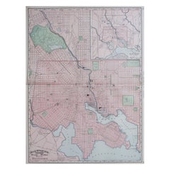
View All1840 Map of the City of Washington Published by William M. Morrison
Located in Colorado Springs, CO
This map, printed in 1840, is a detailed representation of Washington, D.C. in the mid-19th century. The map shows block numbers, wards, and government buildings as well as details o...
Category
Antique 1840s American Federal Maps
Materials
Paper

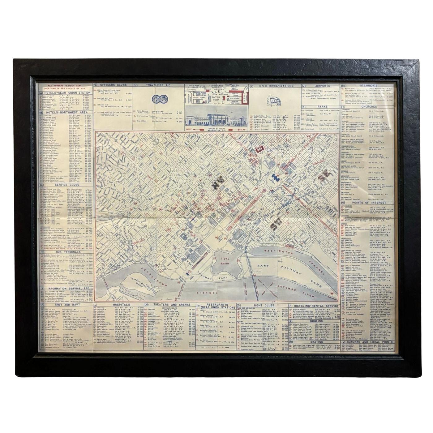
1943 "USO Map Guide to Washington"
Located in Colorado Springs, CO
This is a WWII map of Washington, DC, issued as a guide for service men and women visiting or working in the city during the war. The map was created by Allen F. Free and published a...
Category
Vintage 1940s American Mid-Century Modern Maps
Materials
Paper
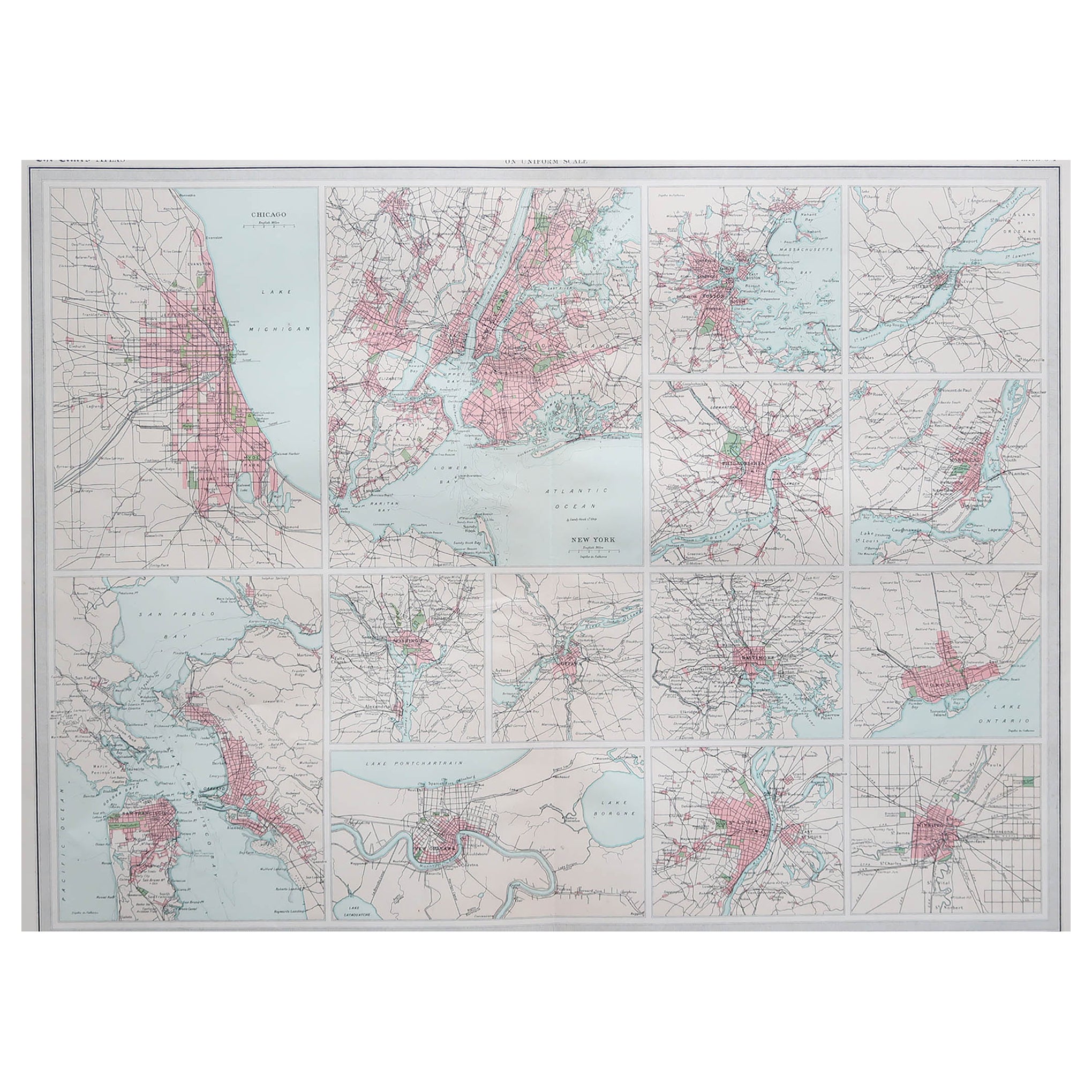
1915 "San Francisco City and County" Hanging Map by W. Bashford Smith
Located in Colorado Springs, CO
Presented is a rare wall map of San Francisco by W. Bashford Smith. Published in San Francisco in 1915, this map indicates streets and city districts, and, most notably, shows the si...
Category
Vintage 1910s American Art Deco Maps
Materials
Wood, Paper

1866 Ensign & Bridgman's Rail Road Map of the United States
Located in Colorado Springs, CO
Presented is an 1866 issue of “Ensign & Bridgeman’s Rail Road Map of the United States, showing Depots & Stations.” First published in 1856, this is the third edition, following anot...
Category
Antique 1860s American Late Victorian Maps
Materials
Paper

1864 Map of North America, Antique Hand-Colored Map, by Adolphe Hippolyte Dufour
Located in Colorado Springs, CO
Offered is a map of North America entitled Amerique du Nord from 1864. This rare, separately published wall map was produced by Adolphe Hippolyte Dufour. This map includes vibrant an...
Category
Antique 1860s French Maps
Materials
Paper

"The United States from the Latest Authorities" Antique Wall Map, 1835
Located in Colorado Springs, CO
This is a 1835 map of “The United States from the Latest Authorities” by Ezra Strong. A hand-colored engraved wall map of the eastern half of the United States, this map has a large inset of the "Oregon District" and several engraved city views and two portraits.
The primary map extends to Mexico Texas and the Missouri Territory, showing the course of the Missouri River to Ft. Mandan and Old Ft. Mandan, and noting many forts along the river. The territories to the east of Missouri Territory are separately delineated as Sioux District and Huron District. The western details of the map are very good for a map of this time period, with many Native American settlements, villages, forts and other details noted.
The map is bordered with vignettes of Boston, New York, Philadelphia, Hartford, Cincinnati, and Baltimore. Each vignette notes the date settled, primary settler, and the population as of 1830. Two portraits of LaFayette and George Washington are presented in full length with related biographical information.
A large inset map at lower right shows the Oregon District, centered on the Columbia River and extending to the Rocky Mountains. This is one of the earliest commercial appearances of a separate map of Oregon...
Category
Antique 1830s American Maps
Materials
Paper

You May Also Like
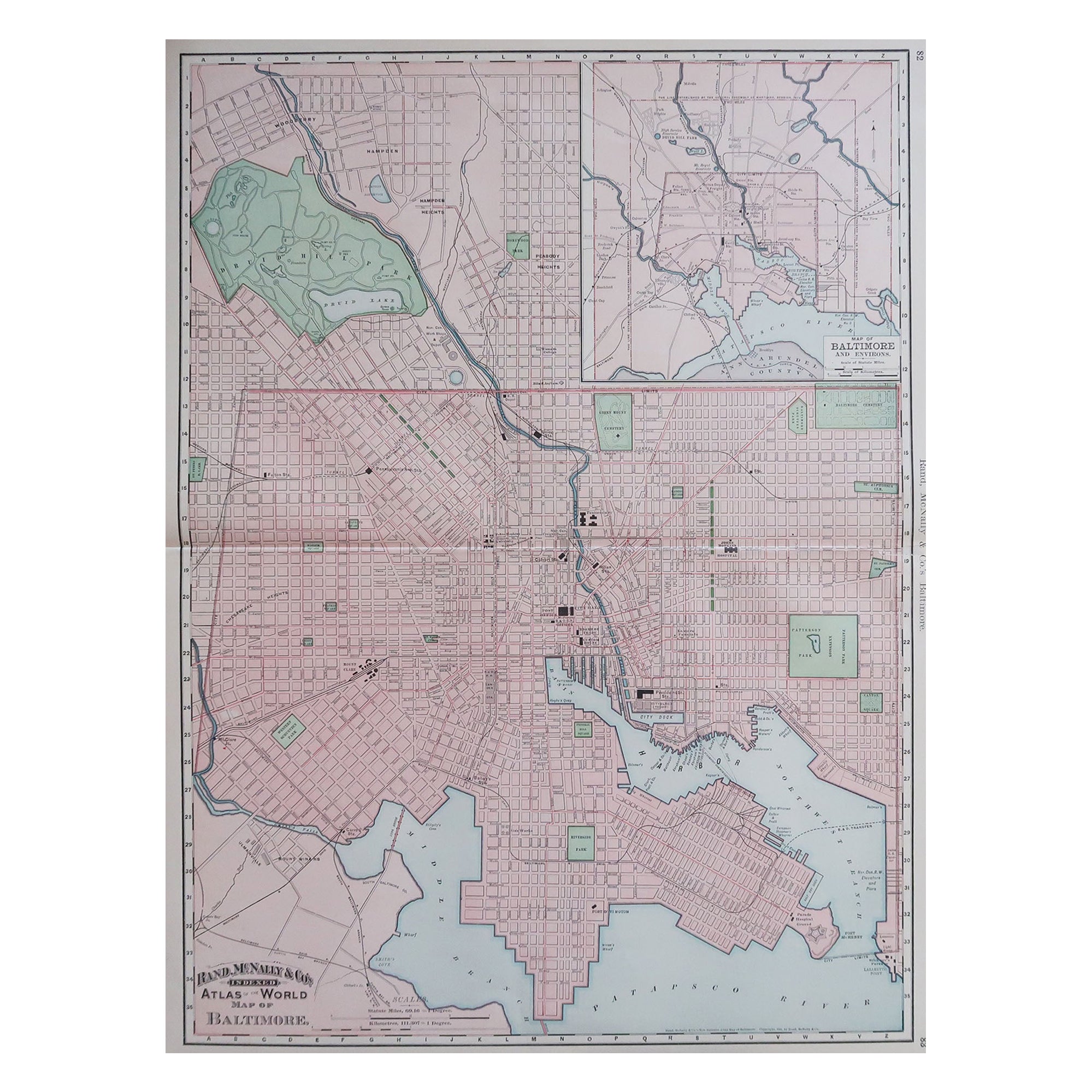
Large Original Antique City Plan of Baltimore, USA, 1894
By Rand McNally & Co.
Located in St Annes, Lancashire
Fabulous colorful map of Baltimore
Original color
By Rand, McNally & Co.
Published, 1894
Unframed
Free shipping.
Category
Antique 1890s American Maps
Materials
Paper
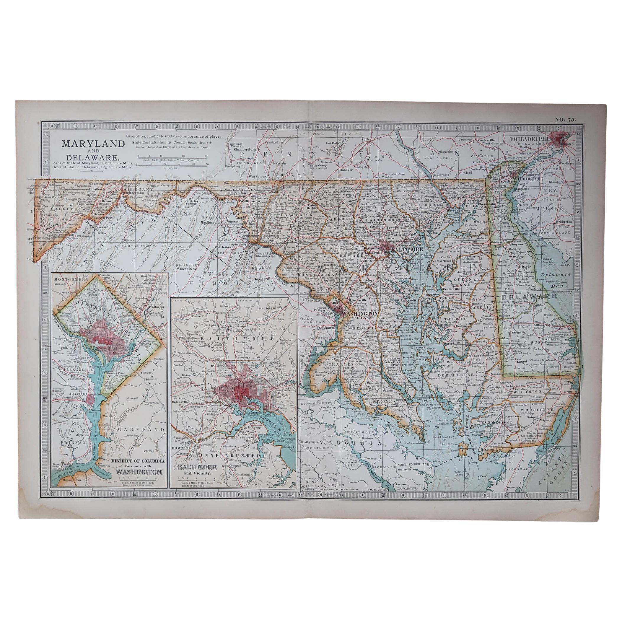
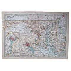
Original Antique Map of the American State of Maryland & Delaware, 1903
Located in St Annes, Lancashire
Antique map of Maryland And Delaware
Published By A & C Black. 1903
Original colour
Good condition
Unframed.
Free shipping
Category
Antique Early 1900s English Maps
Materials
Paper
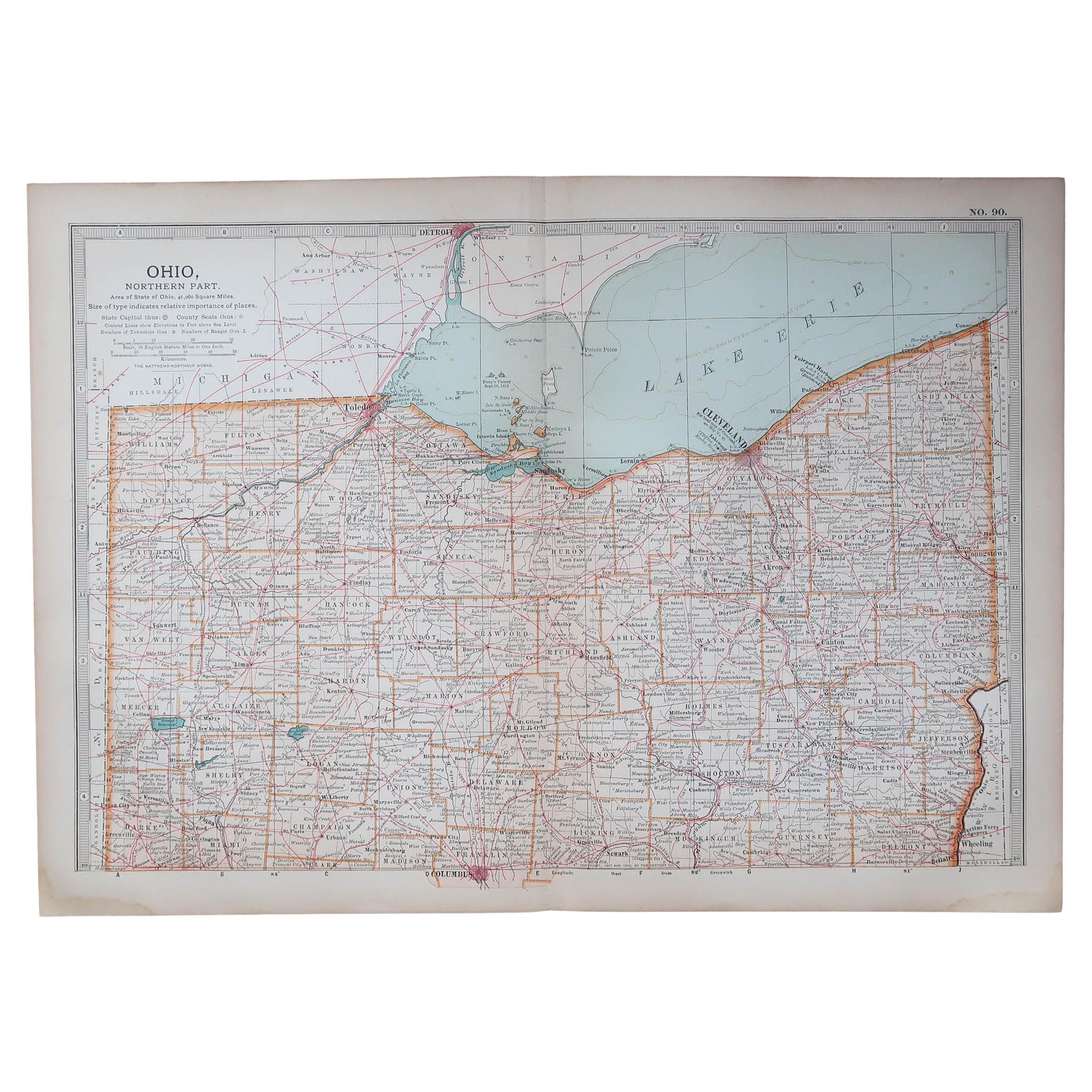
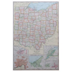
Original Antique Map of the American State of Ohio ( Northern Part ), 1903
Located in St Annes, Lancashire
Antique map of Ohio ( Northern part )
Published By A & C Black. 1903
Original colour
Good condition
Unframed.
Free shipping
Category
Antique Early 1900s English Maps
Materials
Paper

Antique Map of American Cities, Vignette of New York City, circa 1920
Located in St Annes, Lancashire
Great maps of American Cities
Unframed
Original color
By John Bartholomew and Co. Edinburgh Geographical Institute
Published, circa 1920
Category
Vintage 1920s British Maps
Materials
Paper

Original Antique Map of the American State of Pennsylvania( Western Part ), 1903
Located in St Annes, Lancashire
Antique map of Pennsylvania ( Western part )
Published By A & C Black. 1903
Original colour
Good condition
Unframed.
Free shipping
Category
Antique Early 1900s English Maps
Materials
Paper

Large Original Antique Map of Ohio, Usa, C.1900
Located in St Annes, Lancashire
Fabulous map of Ohio
Original color.
Engraved and printed by the George F. Cram Company, Indianapolis.
Published, C.1900.
Unframed.
Free shipping.
Category
Antique 1890s American Maps
Materials
Paper
More Ways To Browse
Used Furniture Washington Dc
Baltimore Antique Furniture
Baltimore Antiques
Steam Locomotives
Federal Glass Company
Used Furniture Baltimore Md
Baltimore Federal
Carlo Scarpa 1934 Chairs
Christofle Marly
1900 Antique Chairs
Glass Table Italian Round
Alvar Aalto Poster
Geometric Metal Table
Post Modern High Chairs
Vintage Vine Rug
Cancel An Order
Antique Framing Square
Silver Metal Chair