Items Similar to Antique Chicago Illinois National Map Commercial Rollup Classroom Census Map 47"
Want more images or videos?
Request additional images or videos from the seller
1 of 13
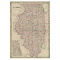
Antique Chicago Illinois National Map Commercial Rollup Classroom Census Map 47"
$940
$1,17520% Off
£713.63
£892.0420% Off
€816.24
€1,020.3020% Off
CA$1,313.32
CA$1,641.6520% Off
A$1,460.69
A$1,825.8720% Off
CHF 762.73
CHF 953.4120% Off
MX$17,775.10
MX$22,218.8720% Off
NOK 9,741.22
NOK 12,176.5220% Off
SEK 9,135.54
SEK 11,419.4320% Off
DKK 6,091.93
DKK 7,614.9220% Off
Shipping
Retrieving quote...The 1stDibs Promise:
Authenticity Guarantee,
Money-Back Guarantee,
24-Hour Cancellation
About the Item
Antique early to mid 20th century double sided hanging map titled the New Commercial and Census Map of Illinois, Edition 1073. Verso shows the National Map of Chicago and Suburbs - Official Ward Boundaries - Quick Reference House Numbering System etc. Published by the National Map Company, Indianapolis, IN. Paper map with linen trim, suspended from rolled metal poles at upper and lower edge.
Dimensions:
41” x 0.5” x 47” (Width x Depth x Height)
- Dimensions:Height: 47 in (119.38 cm)Width: 41 in (104.14 cm)Depth: 0.05 in (1.27 mm)
- Materials and Techniques:
- Place of Origin:
- Period:
- Date of Manufacture:1930s
- Condition:Wear consistent with age and use. Discoloration throughout; couple tears at upper edge.
- Seller Location:Dayton, OH
- Reference Number:Seller: 383601stDibs: LU5343234873852

About the Seller
5.0
Platinum Seller
Premium sellers with a 4.7+ rating and 24-hour response times
Established in 2010
1stDibs seller since 2020
1,594 sales on 1stDibs
Typical response time: <1 hour
- ShippingRetrieving quote...Shipping from: Dayton, OH
- Return Policy
Authenticity Guarantee
In the unlikely event there’s an issue with an item’s authenticity, contact us within 1 year for a full refund. DetailsMoney-Back Guarantee
If your item is not as described, is damaged in transit, or does not arrive, contact us within 7 days for a full refund. Details24-Hour Cancellation
You have a 24-hour grace period in which to reconsider your purchase, with no questions asked.Vetted Professional Sellers
Our world-class sellers must adhere to strict standards for service and quality, maintaining the integrity of our listings.Price-Match Guarantee
If you find that a seller listed the same item for a lower price elsewhere, we’ll match it.Trusted Global Delivery
Our best-in-class carrier network provides specialized shipping options worldwide, including custom delivery.More From This Seller
View AllAntique 1844 J Calvin Smith JH Colton Midwest United States Survey Map 27"
By J.H. Colton
Located in Dayton, OH
Antique framed black and white map of seven Midwestern American states. Guide Through Ohio, Michigan, Indiana, Illinois, Missouri, Wisco...
Category
Antique 1840s Maps
Materials
Paper

$940 Sale Price
20% Off
Vintage Oversized New York City Lower Manhattan 1840s Map Print
Located in Dayton, OH
Vintage late 20th century reproduction print of New York City featuring lower Manhattan in 1840.
Category
Late 20th Century Victorian Maps
Materials
Paper

$800 Sale Price
20% Off
18th Century Antique Conrad Lotter Septentrionalis Meridionalis American Maps
Located in Dayton, OH
Pair of rare hand colored maps from the 1770's, depicting "America Septentrionalis" (North America), engraved by Georg Friedrich Lotter and America Meridionalis (South America), engr...
Category
Antique 18th Century Maps
Materials
Paper
$2,400 Sale Price
20% Off
Vincenzo Coronelli's Colored Map of the New World Western Hemisphere Framed 47"
By Vincenzo Coronelli
Located in Dayton, OH
A Framed Reproduction of Coronelli's Map of the New World, Attributed to Trevor James Company. The map shows the Western Hemisphere including the discoveries made by Abel Tasman in A...
Category
20th Century Maps
Materials
Paper

$1,080 Sale Price
20% Off
20th Century Large Vintage Oval Wall Map of the World Globe Conference Table 13'
Located in Dayton, OH
Monumental oval classroom map of the world / wall globe from the second half of the 20th century. A two piece sculpture design made with heavy wood and metal trim paneling. Can be ...
Category
20th Century Maps
Materials
Metal

$2,400 Sale Price
20% Off
Antique Colored Belgium Map Flandria Gallica Flanders Henricus Hondius
Located in Dayton, OH
Antique hand colored map of Flanders, Belgium, engraved by Henricus Hondius.
Sans frame - 21.25” x 18”.
Category
Antique 19th Century Renaissance Maps
Materials
Paper

$280 Sale Price
20% Off
You May Also Like
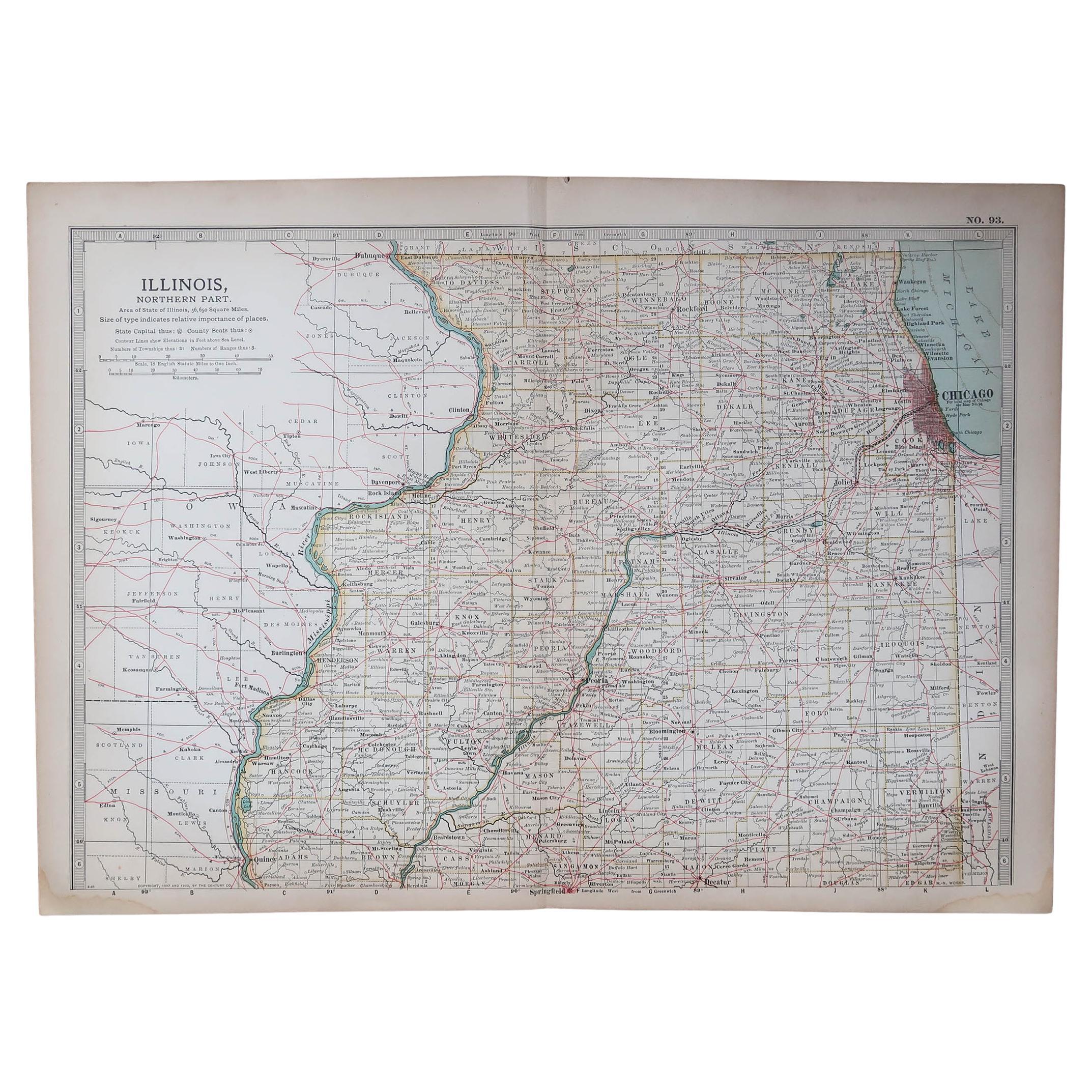
Original Antique Map of the American State of Illinois ( Northern Part ), 1903
Located in St Annes, Lancashire
Antique map of Illinois ( Northern part )
Published By A & C Black. 1903
Original colour
Good condition
Unframed.
Free shipping
Category
Antique Early 1900s English Maps
Materials
Paper

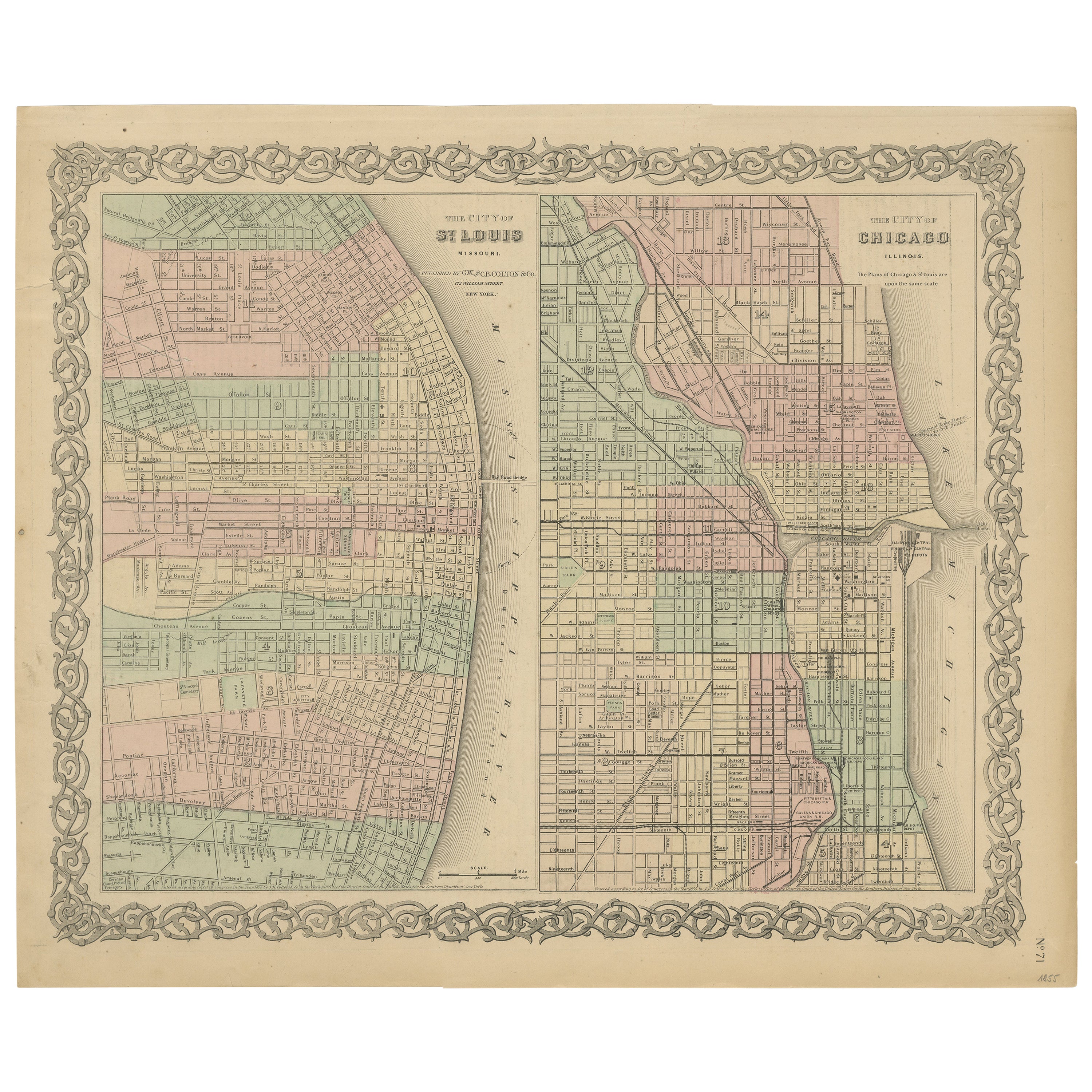
Antique Map of St. Louis and Chicago
Located in Langweer, NL
Antique map titled 'The City of St. Louis Missouri - The City of Chicago Illinois'. Dual map on single page showing St. Louis and Chicago. Finely produ...
Category
Antique Mid-19th Century Maps
Materials
Paper

$143 Sale Price
20% Off
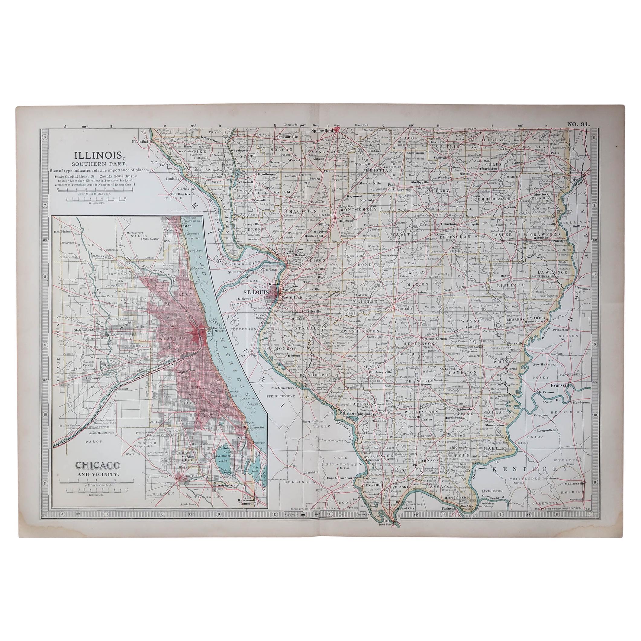
Original Antique Map of the American State of Illinois ( Southern Part ), 1903
Located in St Annes, Lancashire
Antique map of Illinois ( Southern part )
Published By A & C Black. 1903
Original colour
Good condition
Unframed.
Free shipping
Category
Antique Early 1900s English Maps
Materials
Paper

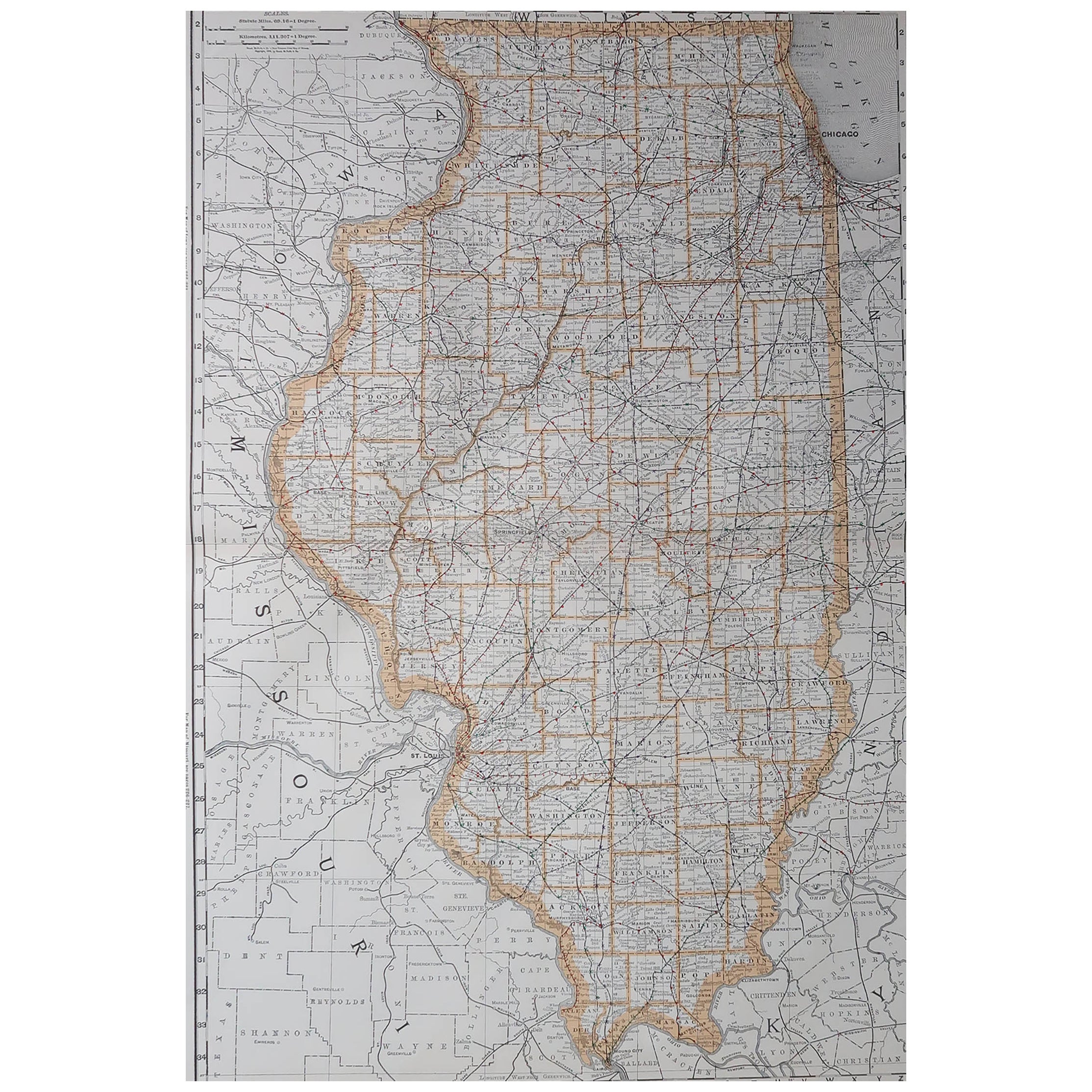
Large Original Antique Map of Illinois, USA, 1894
By Rand McNally & Co.
Located in St Annes, Lancashire
Fabulous map of Illinois
Original color
By Rand, McNally & Co.
Published, 1894
Unframed
Free shipping.
Category
Antique 1890s American Maps
Materials
Paper
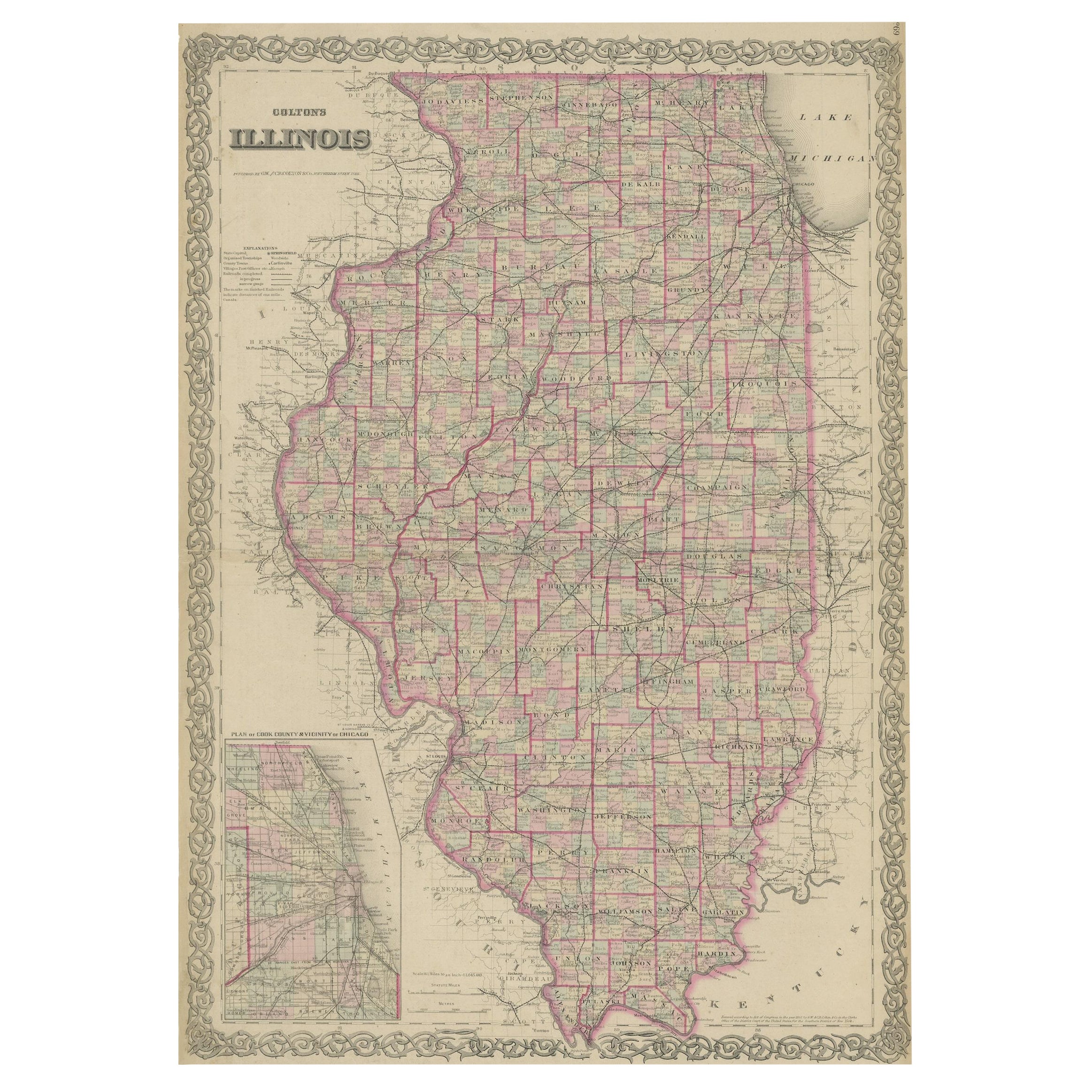
Colton's Map of Illinois, with an Inset of Chicago
Located in Langweer, NL
Antique map titled 'Colton's Illinois'. Antique map of Illinois, a state in the Midwestern United States. With an inset map of of Cook County &...
Category
Antique Mid-19th Century Maps
Materials
Paper
$230 Sale Price
20% Off
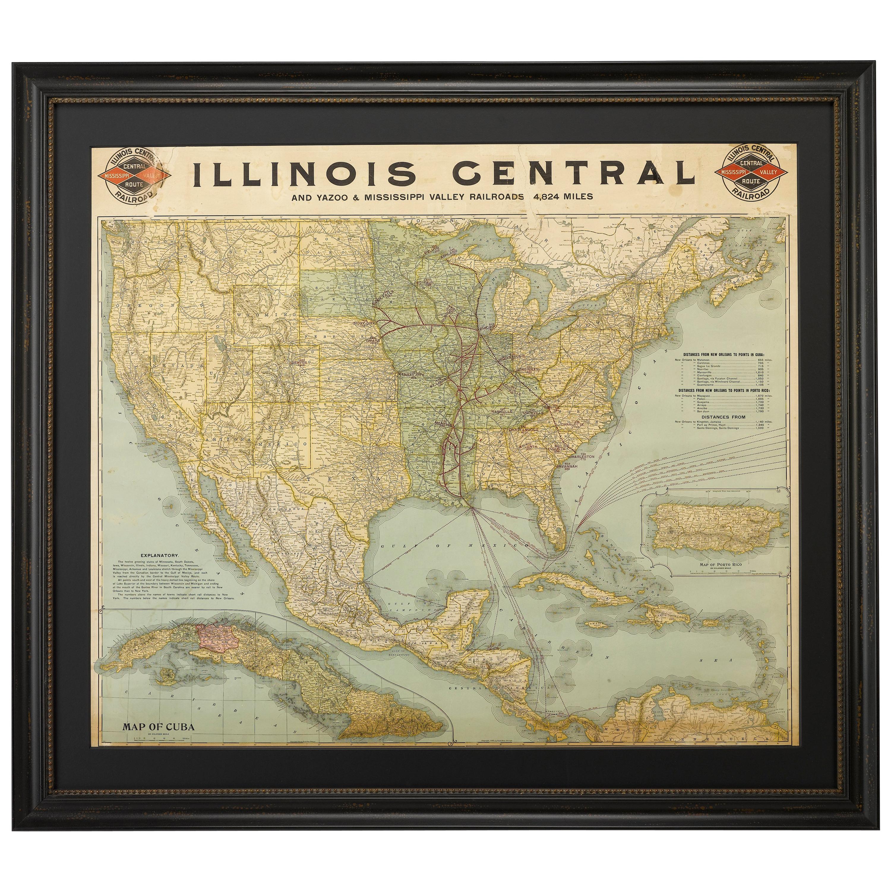
1899 Poole Brothers Antique Railroad Map of the Illinois Central Railroad
Located in Colorado Springs, CO
This is an 1899 railroad map of the Illinois Central and Yazoo and Mississippi Valley Railroads, published by the Poole Brothers. The map focuses on the continuous United States from the Atlantic to the Pacific Oceans, the Gulf of Mexico, and the Antilles. Remarkably detailed, the rail routes of the Illinois Central RR are marked in red, which each stop labeled. Major stops are overprinted in red, bold letters, with the short rail distances to New York listed above the stop and short rail distances to New Orleans listed below the name.
In addition to the Illinois Central network, numerous different rail lines are illustrated and the company running that line is noted along with many stops along each route. Sea routes from New Orleans to locations in Central America, the Caribbean, and Europe are marked and labeled with destination and distance, along with routes originating from Havana. Inset at bottom left is a map of Cuba; an inset map of Puerto Rico...
Category
Antique 1890s American Maps
Materials
Paper

More Ways To Browse
National Furniture Company
American Of Chicago Furniture
Midcentury Furniture Chicago
Antique Furniture In Chicago
Antique Furniture Illinois
Used Furniture Indianapolis
Antique Paper Roll
Maps Rolled
1681 Moses Pitt
Antique Maps Washington Dc
Ithaca Antique Map
J Thayer
Rust Red Rug
Vintage Studio Chair
1890s French Posters
Casa Finland
Mobelfabrik Danish
Playful Chair