Items Similar to Antique Map of St. Louis and Chicago

Want more images or videos?
Request additional images or videos from the seller
1 of 6
Antique Map of St. Louis and Chicago
About the Item
Antique map titled 'The City of St. Louis Missouri - The City of Chicago Illinois'. Dual map on single page showing St. Louis and Chicago. Finely produced lithograph that was hand colored at the time of publication. This map originates from 'Colton's General Atlas Of The World' published 1855.
- Dimensions:Height: 14.18 in (36 cm)Width: 17.21 in (43.7 cm)Depth: 0.02 in (0.5 mm)
- Materials and Techniques:
- Period:
- Date of Manufacture:1855
- Condition:Repaired. Wear consistent with age and use. Age-related toning. Minor wear. Repaired tear in left margin (top), also affecting image. English text on verso. Please study image carefully.
- Seller Location:Langweer, NL
- Reference Number:
About the Seller
5.0
Platinum Seller
These expertly vetted sellers are 1stDibs' most experienced sellers and are rated highest by our customers.
Established in 2009
1stDibs seller since 2017
1,916 sales on 1stDibs
Typical response time: <1 hour
- ShippingRetrieving quote...Ships From: Langweer, Netherlands
- Return PolicyA return for this item may be initiated within 14 days of delivery.
More From This SellerView All
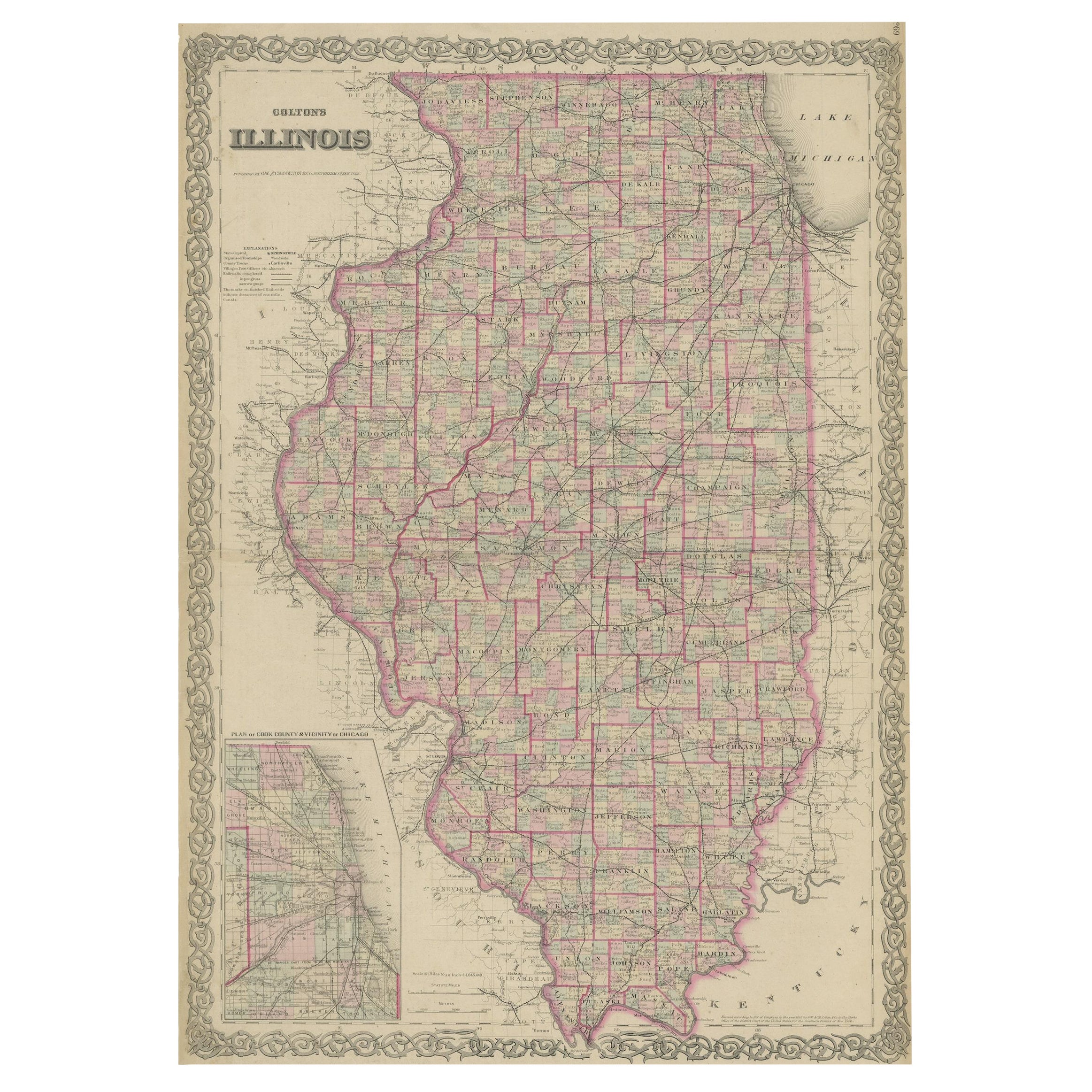
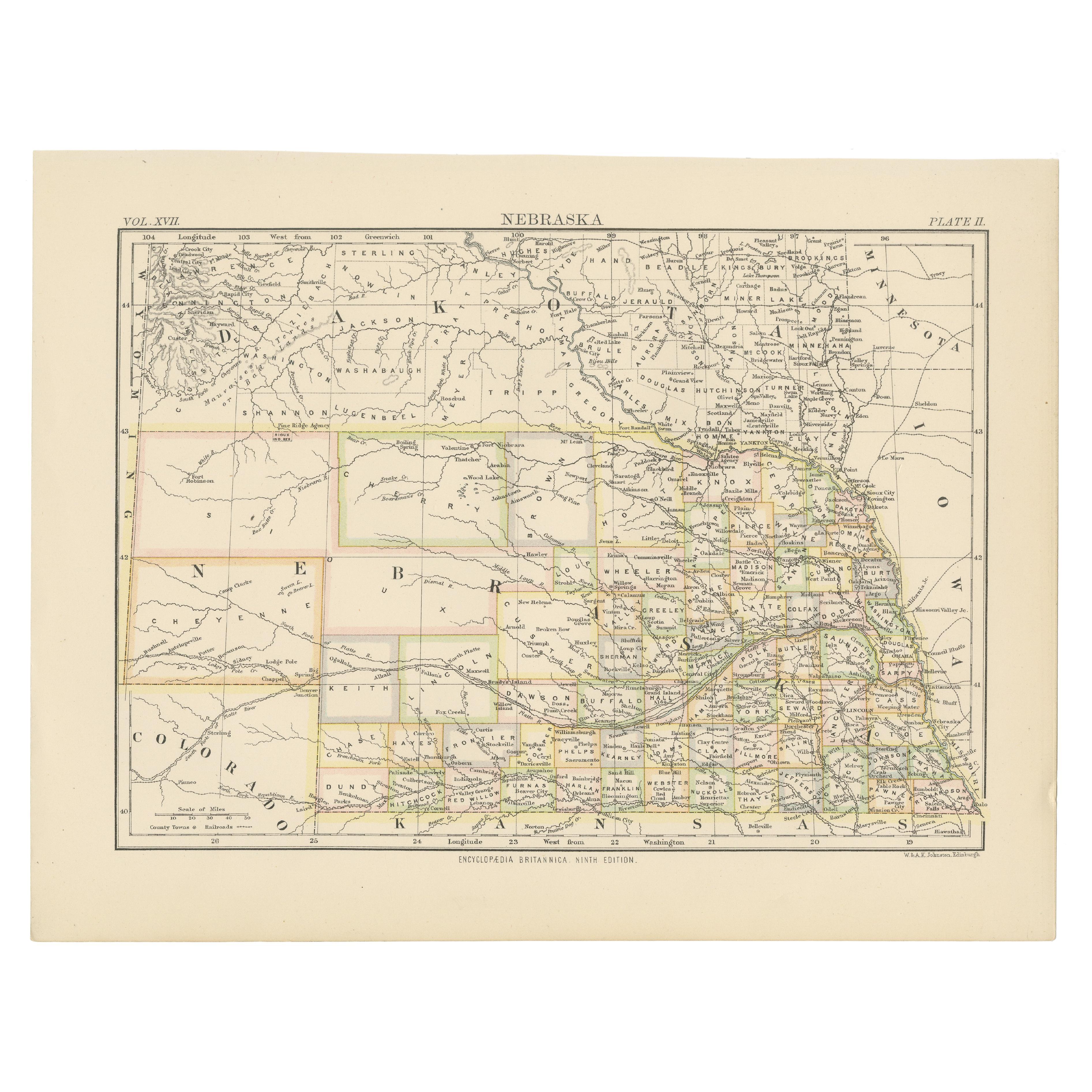
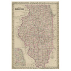
- Colton's Map of Illinois, with an Inset of ChicagoLocated in Langweer, NLAntique map titled 'Colton's Illinois'. Antique map of Illinois, a state in the Midwestern United States. With an inset map of of Cook County &...Category
Antique Mid-19th Century Maps
MaterialsPaper
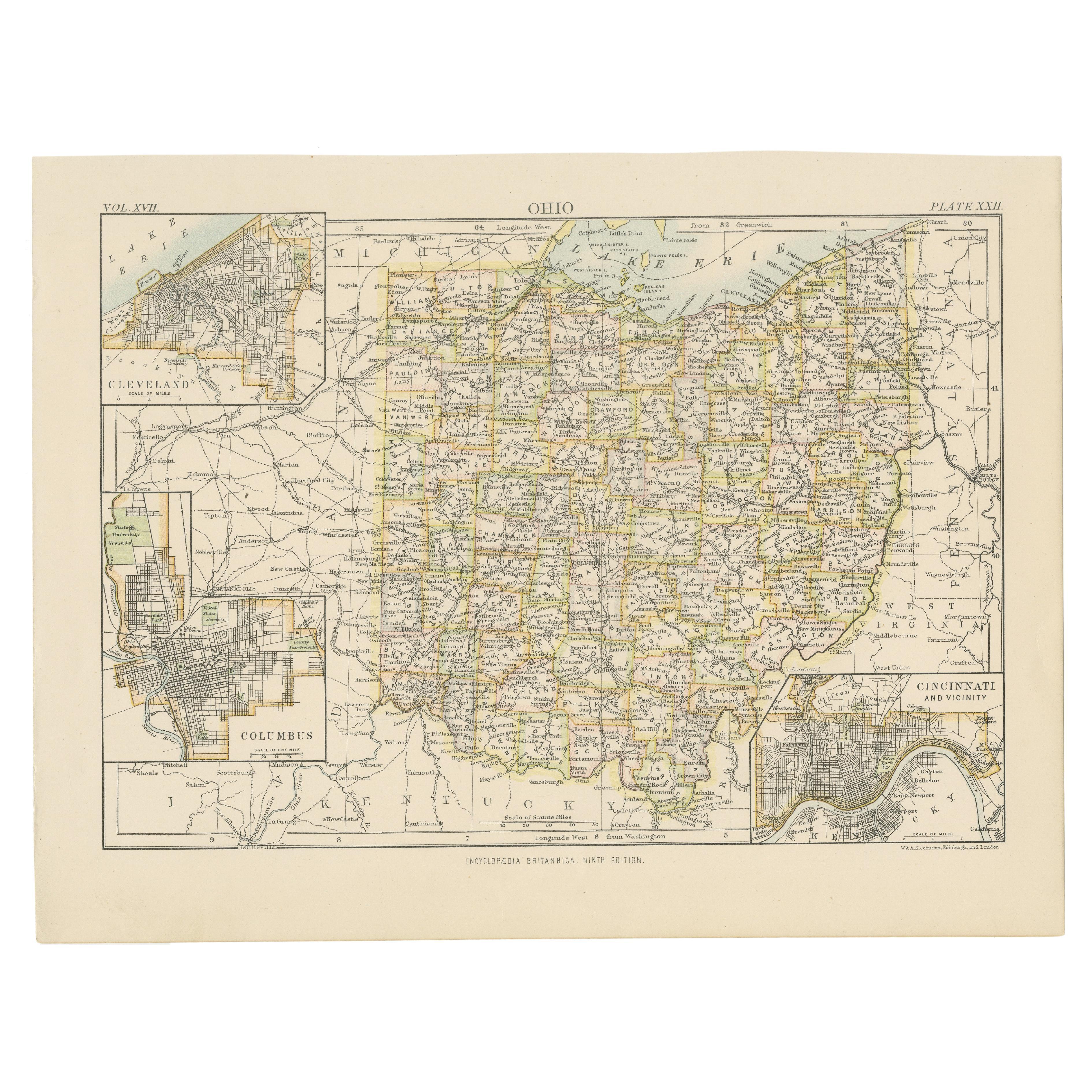
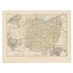
- Antique Map of Ohio, with Inset Maps of Cleveland, Columbus and CincinnatiLocated in Langweer, NLAntique map titled 'Ohio'. Original antique map of Ohio, United States. With inset maps of Cleveland, Columbus and Cincinnati. This print originates from 'Encyclopaedia Britannica', ...Category
Antique Late 19th Century Maps
MaterialsPaper
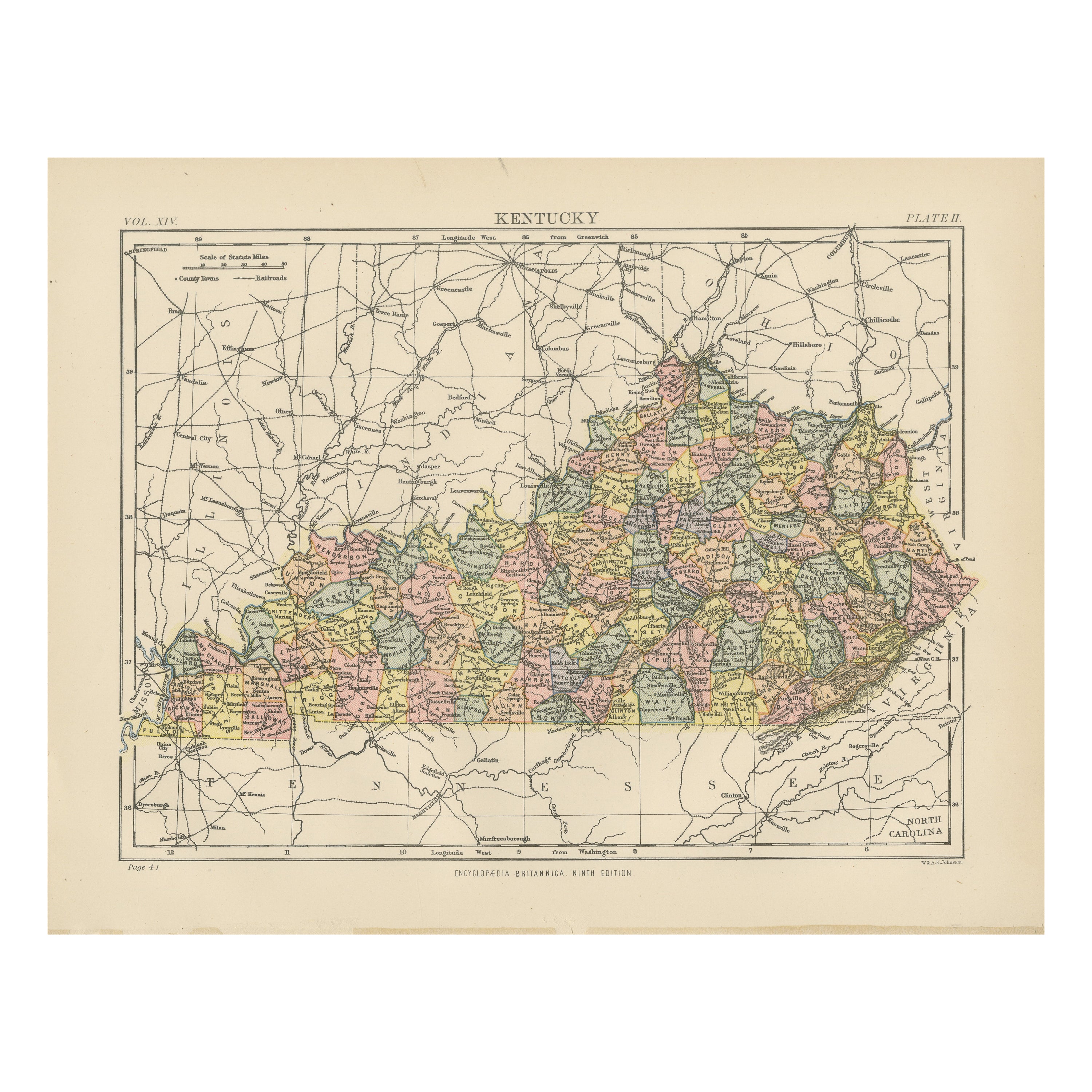
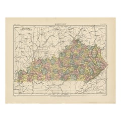
- Antique Map of KentuckyLocated in Langweer, NLAntique map titled 'Kentucky'. Original antique map of Kentucky, United States. This print originates from 'Encyclopaedia Britannica', Ninth E...Category
Antique Late 19th Century Maps
MaterialsPaper
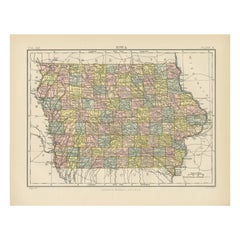
- Antique Map of IowaLocated in Langweer, NLAntique map titled 'Iowa'. Original antique map of Iowa, United States. This print originates from 'Encyclopaedia Britannica', Ninth Edition. Published 188...Category
Antique Late 19th Century Maps
MaterialsPaper
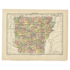
- Antique Map of ArkansasLocated in Langweer, NLAntique map titled 'Arkansas'. Original antique map of Arkansas, United States. This print originates from 'Encyclopaedia Britannica', Ninth Edition. P...Category
Antique Late 19th Century Maps
MaterialsPaper
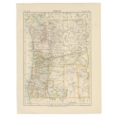
- Antique Map of OregonLocated in Langweer, NLAntique map titled 'Oregon'. Original antique map of Oregon, United States. This print originates from 'Encyclopaedia Britannica', Ninth Edition. Publish...Category
Antique Late 19th Century Maps
MaterialsPaper
You May Also Like
- Antique Map of Principality of MonacoBy Antonio Vallardi EditoreLocated in Alessandria, PiemonteST/619 - "Old Geographical Atlas of Italy - Topographic map of ex-Principality of Monaco" - ediz Vallardi - Milano - A somewhat special edition ---Category
Antique Late 19th Century Italian Other Prints
MaterialsPaper
- Original Antique Map of Spain and Portugal, circa 1790Located in St Annes, LancashireSuper map of Spain and Portugal Copper plate engraving by A. Bell Published, circa 1790. Unframed.Category
Antique 1790s English Other Maps
MaterialsPaper
- Original Antique Map of Ireland- Tipperary and Waterford. C.1840Located in St Annes, LancashireGreat map of Tipperary and Waterford Steel engraving Drawn under the direction of A.Adlard Published by How and Parsons, C.1840 Unframed.Category
Antique 1840s English Maps
MaterialsPaper
- Original Antique Map of Italy. C.1780Located in St Annes, LancashireGreat map of Italy Copper-plate engraving Published C.1780 Unframed.Category
Antique Early 1800s English Georgian Maps
MaterialsPaper

- Original Antique Map of Asia. C.1780Located in St Annes, LancashireGreat map of Asia Copper-plate engraving Published C.1780 Two small worm holes to right side of map Unframed.Category
Antique Early 1800s English Georgian Maps
MaterialsPaper

- Original Antique Map of Sweden and Norway, Grattan and Gilbert, 1843Located in St Annes, LancashireGreat map of Sweden and Norway Drawn and engraved by Archer Published by Grattan and Gilbert Original color Unframed.Category
Antique 1840s English Other Maps
MaterialsPaper


Recently Viewed
View AllMore Ways To Browse
Midcentury Furniture Chicago
Antique Furniture Chicago
Chicago Antique Furniture
Chicago Antiques
Used Furniture Missouri
Lithograph Hand Colored Antique
Antique Furniture Missouri
Map Missouri
Antique Map Chicago
Antique Chicago Maps
Antique Maps Chicago
Antique Map Of Chicago
Chicago Antique Maps
Map Of St Louis
Missouri Antique Map
Map Illinois
Antique Illinois Map
Antique Furniture Missouri