Items Similar to "Atlas to Accompany Monograph XXXII on the Geology of Yellowstone National Park"
Want more images or videos?
Request additional images or videos from the seller
1 of 15
"Atlas to Accompany Monograph XXXII on the Geology of Yellowstone National Park"
$5,250
£4,013.90
€4,623.21
CA$7,356.86
A$8,213.24
CHF 4,303.62
MX$100,538.14
NOK 54,655.96
SEK 51,533.63
DKK 34,503.47
About the Item
This is an original 1904 "Atlas to Accompany Monograph XXXII on the Geology of the Yellowstone National Park" by Arnold Hague. Published by the Department of the Interior, the Atlas consists of 27 elephant folio sized sheets, containing 17 single-page and 7 double-page maps. Hague was the geologist in charge of the U.S. Geological Survey's Yellowstone division and oversaw the agency's survey of the park from 1883 to 1889. Mapped in the field by Hague and his team and then printed by Julius Bien in Washington, D.C., this atlas of Yellowstone National Park features a series of topographical maps with geological counterparts. The Atlas is presented here in its original brown cloth boards with gilt titles, and a new archival ¼ leather and cloth clamshell case.
Arnold Hague (1840-1917) was trained as a geologist who attended Yale's Sheffield Scientific School, followed by three years of graduate study in Germany. In 1867, he joined the famous U.S. Geological Exploration of the 40th Parallel led by Clarence King. He also completed extensive fieldwork in Nevada, Guatemala, and China, and was appointed one of the United States Geological Survey’s principal geologists when it was established in 1879.
In 1883, Hague was named Geologist in charge of the Survey of the Yellowstone National Park. He began fieldwork in August of that year with a large party of assistants, including three assistant geologists, W. H. Weed, G. M. Wright, and J. P Iddings, physicist William Halloek, chemist F. A. Gooch, photographer W. H. Jackson, and a disbursing clerk C. D. Davis. In his study of the region, Hague was especially interested in the geysers and hot springs, but oversaw the investigations of his whole team into the geological structure of the region, which consisted mostly of igneous rocks, with several mountain ranges of stratified rocks.
An epic project spanning seven seasons, from 1883 to 1889, Hague and his team surveyed more than 3,000 square miles of Yellowstone. Charting the geology, strata, volcanics, paleontology, hot springs and geysers of that region, their extensive fieldwork resulted in the publication of "Monograph XXXII on the Geology of the Yellowstone National Park." This Atlas accompanied the Monograph. Hague's Monograph and Atlas are still viewed by geologists today as some of the most in-depth studies of Yellowstone to have ever been published.
The atlas includes the title page, table of contents, a legend detailing the topography and geology of Yellowstone, and the following maps: Gallatin Sheet, Topography; Shoshone Sheet, Topography; Canyon Sheet, Topography; Lake Sheet, Topography; Crandall Sheet, Topography; Ishawooa Sheet, Topography; Gallatin Sheet, Geology; Shoshone Sheet, Geology; Canyon Sheet, Geology; Lake Sheet, Geology; Crandall Sheet, Geology; Ishawooa Sheet, Geology; Yellowstone National Park and Portion of Yellowstone Forest Reserve, Topography; Yellowstone National Park and Portion of Yellowstone Forest Reserve, Geology; Mammoth Hot Springs and Vicinity, Topography; Mammoth Hot Springs and Vicinity, Geology; Mammoth Hot Springs, Travertine Terraces, Detailed Map; Norris Geyser Basin, Geology; Firehole Geyser Basin, Geology; Excelsior Geyser Basin; Upper Geyser Basin, Geology; Shoshone Geyser Basin, Geology; and Shores of Yellowstone Lake, Geology.
CONDITION:
Elephant folio. Bound in original brown cloth boards, with gilt titles to the front board. Surface scratches to the original boards. Some toning and light fading to the brown cloth. All 27 sheets present. Color lithographic maps, single sheet and double sheet. Colors are vibrant. Several maps with archival tissue repairs.
Atlas is beautifully presented in a new, archival 1/4 leather and cloth clamshell with raised bands, gilt titles, and inlay of Yellowstone on the front of the clamshell.
Atlas Dimensions: 22"H x 19 1/4"W x 3/4"D. Clamshell Dimensions: 23 1/8"H x 20"W x 1 3/8"D.
Accompanied by our company's letter of authenticity.
- Creator:United States Geological Survey (Author)
- Dimensions:Height: 23.13 in (58.76 cm)Width: 20 in (50.8 cm)Depth: 1.75 in (4.45 cm)
- Materials and Techniques:
- Place of Origin:
- Period:1900-1909
- Date of Manufacture:1904
- Condition:Additions or alterations made to the original: New archival 1/4 leather and cloth clamshell case by Felton Bookbinding Ltd. in Ontario, Canada, in September of 2024. Repaired: Several maps with archival tissue repairs, by Felton Bookbinding Ltd. in Ontario, Canada, in September of 2024. Wear consistent with age and use.
- Seller Location:Colorado Springs, CO
- Reference Number:Seller: M3661stDibs: LU909741813202
About the Seller
4.9
Platinum Seller
Premium sellers with a 4.7+ rating and 24-hour response times
Established in 2010
1stDibs seller since 2011
461 sales on 1stDibs
- ShippingRetrieving quote...Shipping from: Colorado Springs, CO
- Return Policy
Authenticity Guarantee
In the unlikely event there’s an issue with an item’s authenticity, contact us within 1 year for a full refund. DetailsMoney-Back Guarantee
If your item is not as described, is damaged in transit, or does not arrive, contact us within 7 days for a full refund. Details24-Hour Cancellation
You have a 24-hour grace period in which to reconsider your purchase, with no questions asked.Vetted Professional Sellers
Our world-class sellers must adhere to strict standards for service and quality, maintaining the integrity of our listings.Price-Match Guarantee
If you find that a seller listed the same item for a lower price elsewhere, we’ll match it.Trusted Global Delivery
Our best-in-class carrier network provides specialized shipping options worldwide, including custom delivery.More From This Seller
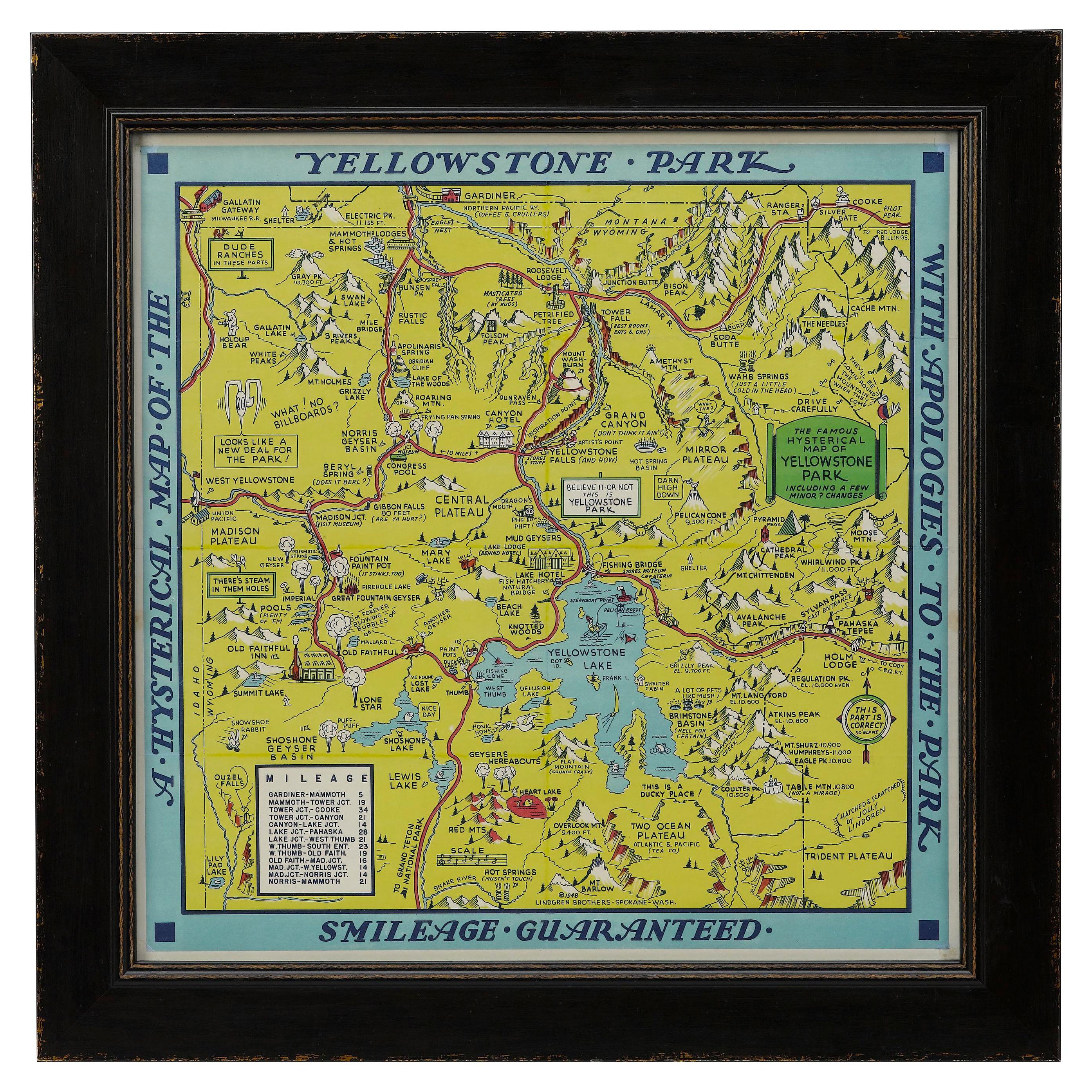
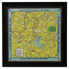
View All1948 "A Hysterical Map of Yellowstone National Park" by Jolly Lindgren, 2nd Ed.
Located in Colorado Springs, CO
Presented is a second edition printing of Jolly Lindgren’s “Hysterical Map of Yellowstone National Park.” This comical pictorial map h...
Category
Vintage 1940s American Maps
Materials
Paper
1904 "Nell's Topographical Map of the State of Colorado"
Located in Colorado Springs, CO
This highly detailed pocket map is a topographical map of the state of Colorado by Louis Nell from 1904. The map "has been compiled from all available...
Category
Antique Early 1900s American Maps
Materials
Leather, Paper

1890 "Map of Oregon, Kansas, California, and the Territories" by S. A. Mitchell
By Samuel Augustus Mitchell 1
Located in Colorado Springs, CO
Presented is an 1890 map "Map of Oregon, Kansas, California, and the Territories" by S. A. Mitchell Jr. The map was issued in the atlas “Mitchell's New Intermediate Geography” publis...
Category
Antique 1890s American Victorian Maps
Materials
Paper

1864 Map of North America, Antique Hand-Colored Map, by Adolphe Hippolyte Dufour
Located in Colorado Springs, CO
Offered is a map of North America entitled Amerique du Nord from 1864. This rare, separately published wall map was produced by Adolphe Hippolyte Dufour. This map includes vibrant an...
Category
Antique 1860s French Maps
Materials
Paper

1859 "Map of the United States of America..." by J. H. Colton
By J.H. Colton
Located in Colorado Springs, CO
Presented is an 1859 “Map of the United States of America, the British Provinces, Mexico, the West Indies and Central America with Part of...
Category
Antique 1850s American Maps
Materials
Paper

1846 "North America" Map, Engraved by I. Dower
Located in Colorado Springs, CO
Presented is an original 1846 map of “North America.” The map was drawn and engraved by I. Dower and published in London by Orr & Company. The map depicts North America, to include G...
Category
Antique 1840s English Victorian Maps
Materials
Paper

You May Also Like
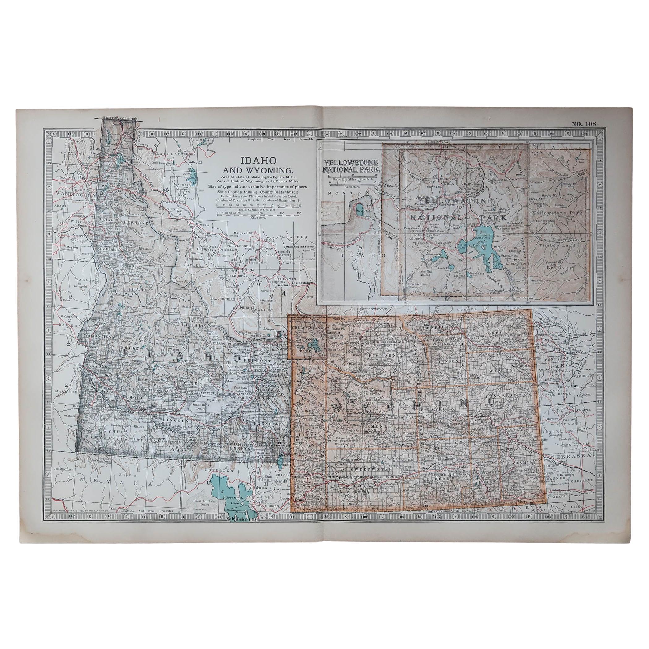
Original Antique Map of the American State of Idaho & Wyoming, 1903
Located in St Annes, Lancashire
Antique map of Idaho and Wyoming
Published By A & C Black. 1903
Original colour
Good condition
Unframed.
Free shipping
Category
Antique Early 1900s English Maps
Materials
Paper

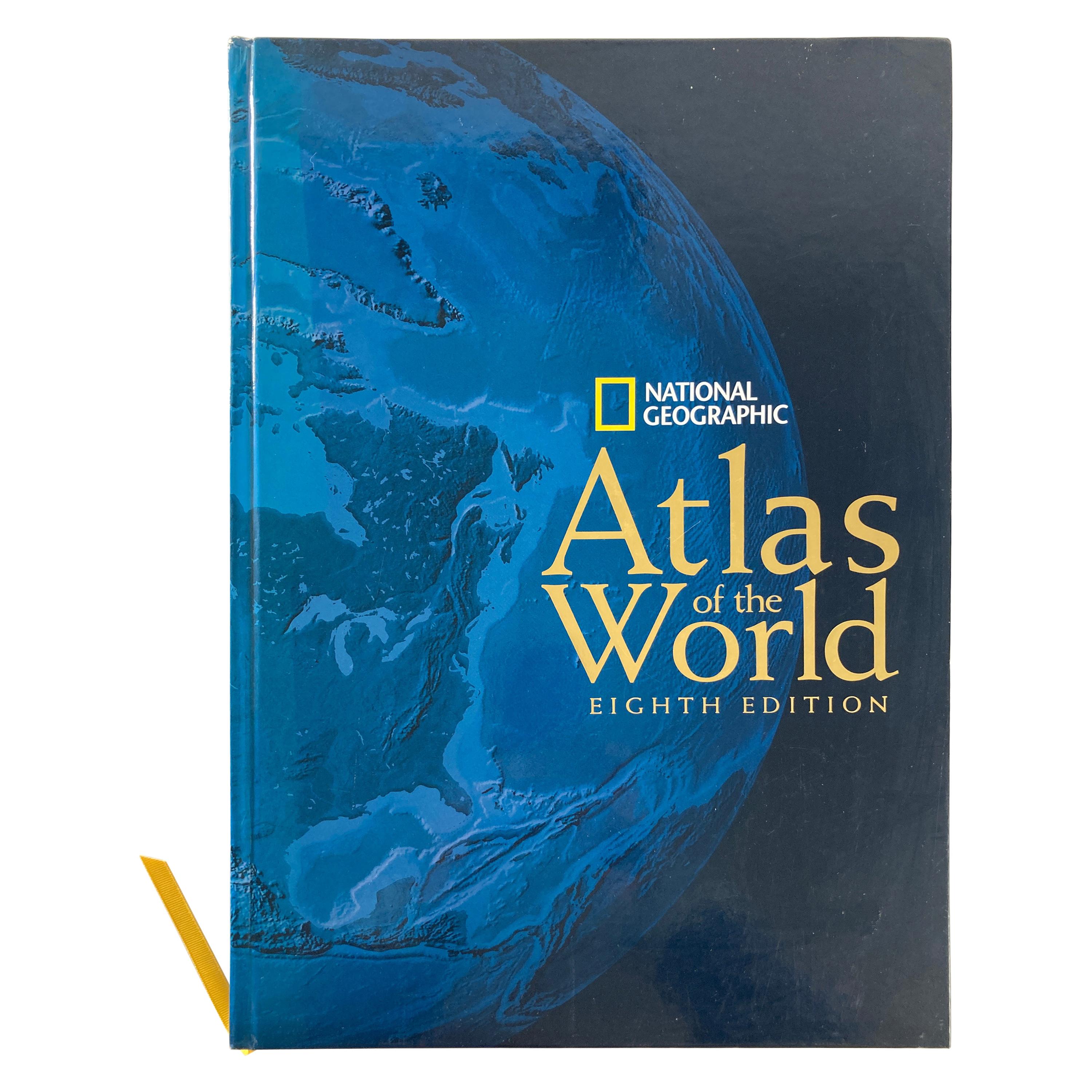
National Geographic Atlas of the World, Eighth Edition Hardcover Book
Located in North Hollywood, CA
National Geographic Atlas of the World, Eighth Edition
National Geographic
This is a beautiful large library or hardcover coffee table book.
Title: National Geographic Atlas of th...
Category
Early 2000s Maltese Mid-Century Modern Books
Materials
Paper

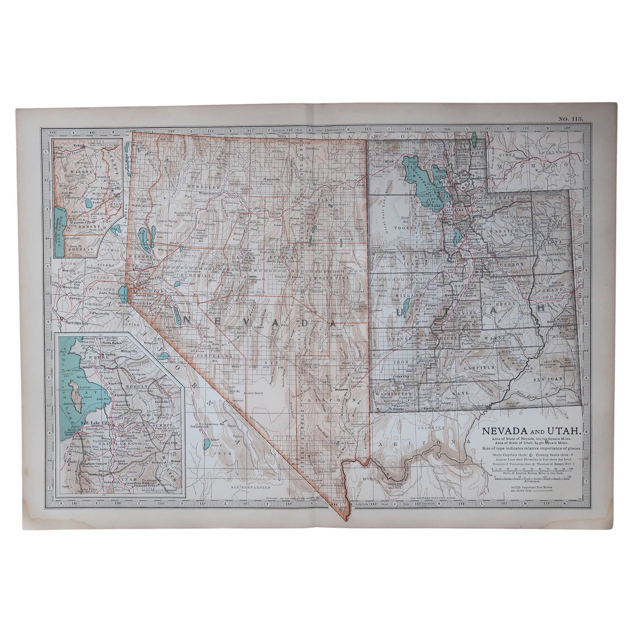
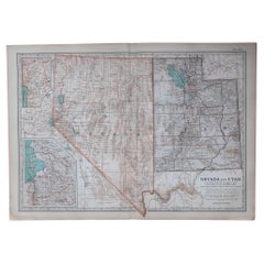
Original Antique Map of the American State of Nevada & Utah, 1903
Located in St Annes, Lancashire
Antique map of Nevada and Utah
Published By A & C Black. 1903
Original colour
Good condition
Unframed.
Free shipping
Category
Antique Early 1900s English Maps
Materials
Paper
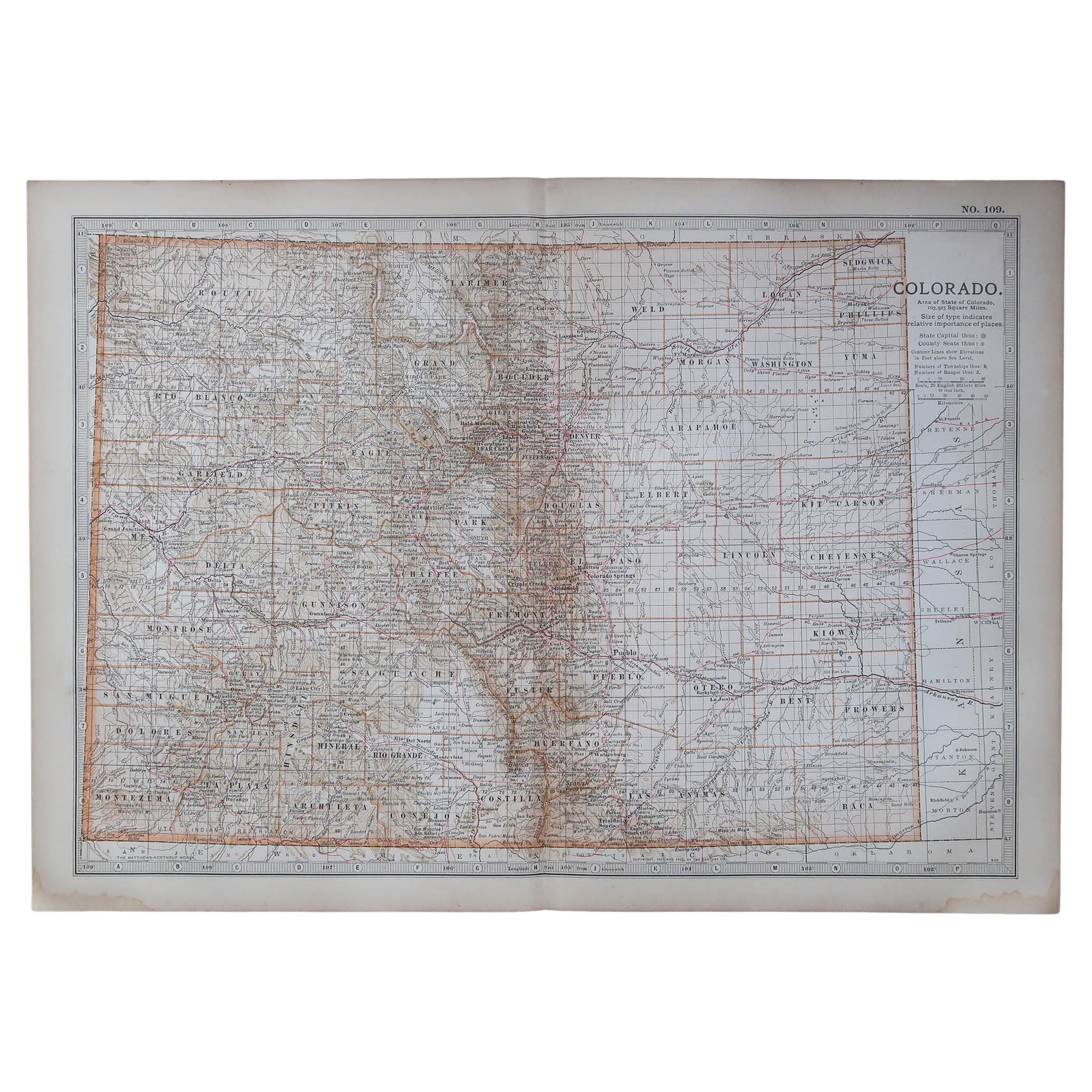
Original Antique Map of the American State of Colorado, 1903
Located in St Annes, Lancashire
Antique map of Colorado
Published By A & C Black. 1903
Original colour
Good condition
Unframed.
Free shipping
Category
Antique Early 1900s English Maps
Materials
Paper

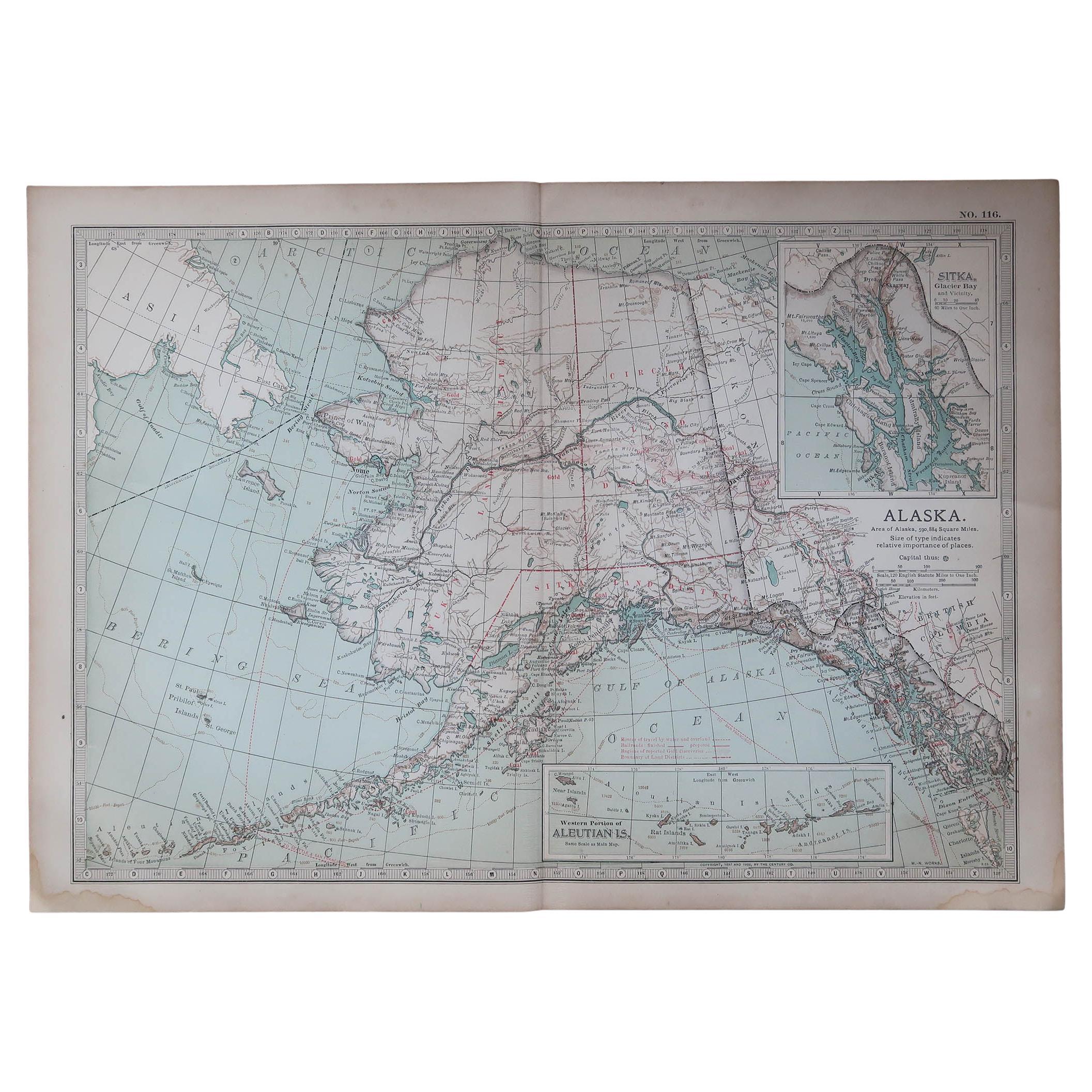
Original Antique Map of the American State of Alaska, 1903
Located in St Annes, Lancashire
Antique map of Alaska
Published By A & C Black. 1903
Original colour
Good condition
Unframed.
Free shipping
Category
Antique Early 1900s English Maps
Materials
Paper

1874 Map of Western United States – Detailed Atlas by Keith Johnston
Located in Langweer, NL
1874 Map of Western United States by Keith Johnston – Detailed Atlas
This is an original antique map titled “United States of North America (Western States)” by Alexander Keith John...
Category
Antique 1870s Scottish Maps
Materials
Paper

More Ways To Browse
National Furniture Company
Map Case
J M Antiques
Leather Train Case
Chinese Inlay Table
Table D Appoint
Antique Elephant Table
German Inlay Table
W Arnold
William H Jackson
Antique Basin Table
Folio Table
Antique Map Case
Antique School Chart
Chinese Elephant Table
Wrights Antiques
Travertine Elephant
Antique Chart Table