Items Similar to Benedictus Goes’ Route – Antique Map of Tartary to China by Van der Aa, 1714


Video Loading
Want more images or videos?
Request additional images or videos from the seller
1 of 12
Benedictus Goes’ Route – Antique Map of Tartary to China by Van der Aa, 1714
$517.60
$64720% Off
£385.25
£481.5620% Off
€432
€54020% Off
CA$708.98
CA$886.2220% Off
A$788.54
A$985.6820% Off
CHF 411.75
CHF 514.6920% Off
MX$9,595.70
MX$11,994.6220% Off
NOK 5,258.69
NOK 6,573.3720% Off
SEK 4,931.73
SEK 6,164.6620% Off
DKK 3,288.67
DKK 4,110.8320% Off
Shipping
Retrieving quote...The 1stDibs Promise:
Authenticity Guarantee,
Money-Back Guarantee,
24-Hour Cancellation
About the Item
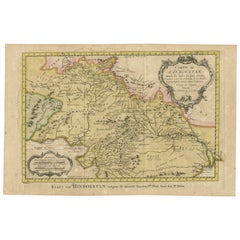
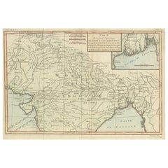
Benedictus Goes’ Route – Antique Map of Tartary to China by Van der Aa, 1714
This fascinating antique map titled De Land-Reyse door Benedictus Goes, van Lahor gedaan, door Tartaryen na China charts the exploratory journey of the Jesuit missionary Benedictus Goes through parts of Asia in the early 17th century. The map depicts a vast region stretching from northeastern India through present-day Nepal, Bhutan, Assam, and Bangladesh, with a route heading toward China through the lands once known as Tartary.
Published by Pieter van der Aa around 1714, this map visually narrates the journey Goes undertook beginning in 1603, departing from Lahore and crossing into Central Asia. Of particular note is the inclusion of the mythical Chiamaeus Lacus (Lake Chiamay), a legendary source of several major rivers in Southeast Asia. Though now disproven, Lake Chiamay was frequently included in European maps from the 16th to 18th centuries, reflecting both the gaps and ambitions of early geographical knowledge.
In the upper left, a finely illustrated cartouche shows a council or court scene, featuring figures in a richly decorated tent, evoking the cultural and religious diversity of the lands Benedictus Goes traversed. The region labelled “Capherstam,” believed to be Kafiristan, is also referenced from the missionary’s travel journal, which recounted stories of wine, resistance to Islamic authority, and hospitality to Christian travelers.
This map stands out for its unusual framing device: a bold ornamental border engraved to resemble a carved frame, enhancing its visual impact. The coloring of rivers and territorial lines adds dimension to the otherwise black-and-white cartographic elements.
Condition report: Fine condition with excellent hand-coloring along borders and rivers. The paper is strong with slight age toning and one circle of age toning in the margin. No tears or repairs noted. Plate marks visible.
Framing tips: Frame in dark wood or black to contrast with the decorative printed border. A cream-colored mat will highlight the map’s pastel hand-coloring, while a gold fillet could echo the richness of the period style.
- Dimensions:Height: 12.72 in (32.3 cm)Width: 17.21 in (43.7 cm)Depth: 0.02 in (0.5 mm)
- Materials and Techniques:Paper,Engraved
- Place of Origin:
- Period:
- Date of Manufacture:c.1714
- Condition:Fine condition with excellent hand-coloring along borders and rivers. The paper is strong with slight age toning and one circle of age toning in the margin. No tears or repairs noted. Plate marks visible.
- Seller Location:Langweer, NL
- Reference Number:Seller: BG-13513-21stDibs: LU3054336187972
About the Seller
5.0
Recognized Seller
These prestigious sellers are industry leaders and represent the highest echelon for item quality and design.
Platinum Seller
Premium sellers with a 4.7+ rating and 24-hour response times
Established in 2009
1stDibs seller since 2017
2,502 sales on 1stDibs
Typical response time: <1 hour
- ShippingRetrieving quote...Shipping from: Langweer, Netherlands
- Return Policy
Authenticity Guarantee
In the unlikely event there’s an issue with an item’s authenticity, contact us within 1 year for a full refund. DetailsMoney-Back Guarantee
If your item is not as described, is damaged in transit, or does not arrive, contact us within 7 days for a full refund. Details24-Hour Cancellation
You have a 24-hour grace period in which to reconsider your purchase, with no questions asked.Vetted Professional Sellers
Our world-class sellers must adhere to strict standards for service and quality, maintaining the integrity of our listings.Price-Match Guarantee
If you find that a seller listed the same item for a lower price elsewhere, we’ll match it.Trusted Global Delivery
Our best-in-class carrier network provides specialized shipping options worldwide, including custom delivery.More From This Seller
View AllAntique Map of India as Described It Was before the 5th Century, 1744
Located in Langweer, NL
Antique map titled 'India, as described by all Authors before the fifth Century'. Detailed map of part of India, including Hyrcania, Parthia, Carmania, Gedorossii, Drangiana, Aria, M...
Category
Antique 18th Century Maps
Materials
Paper

$306 Sale Price
20% Off
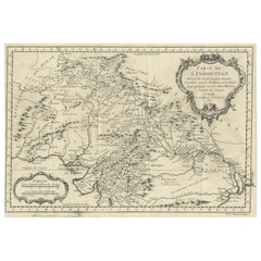
Original Antique Map of Northern India
By Jakob van der Schley
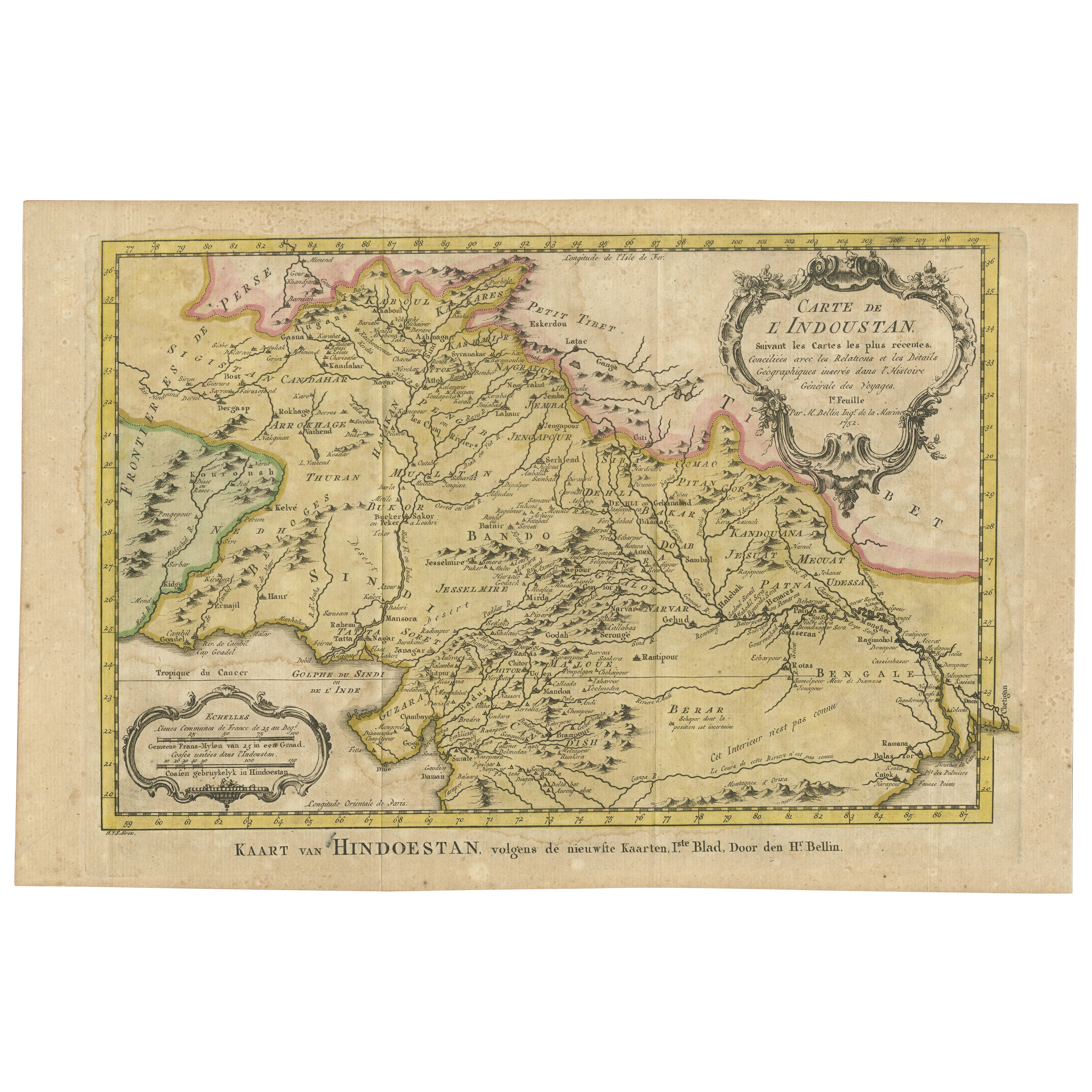
Located in Langweer, NL
Antique map titled 'Carte de l'Indoustan (..) - Kaart van Hindoestan (..)'. Original antique map of northern India. This map originates from 'His...
Category
Antique Mid-18th Century Maps
Materials
Paper
$210 Sale Price
20% Off
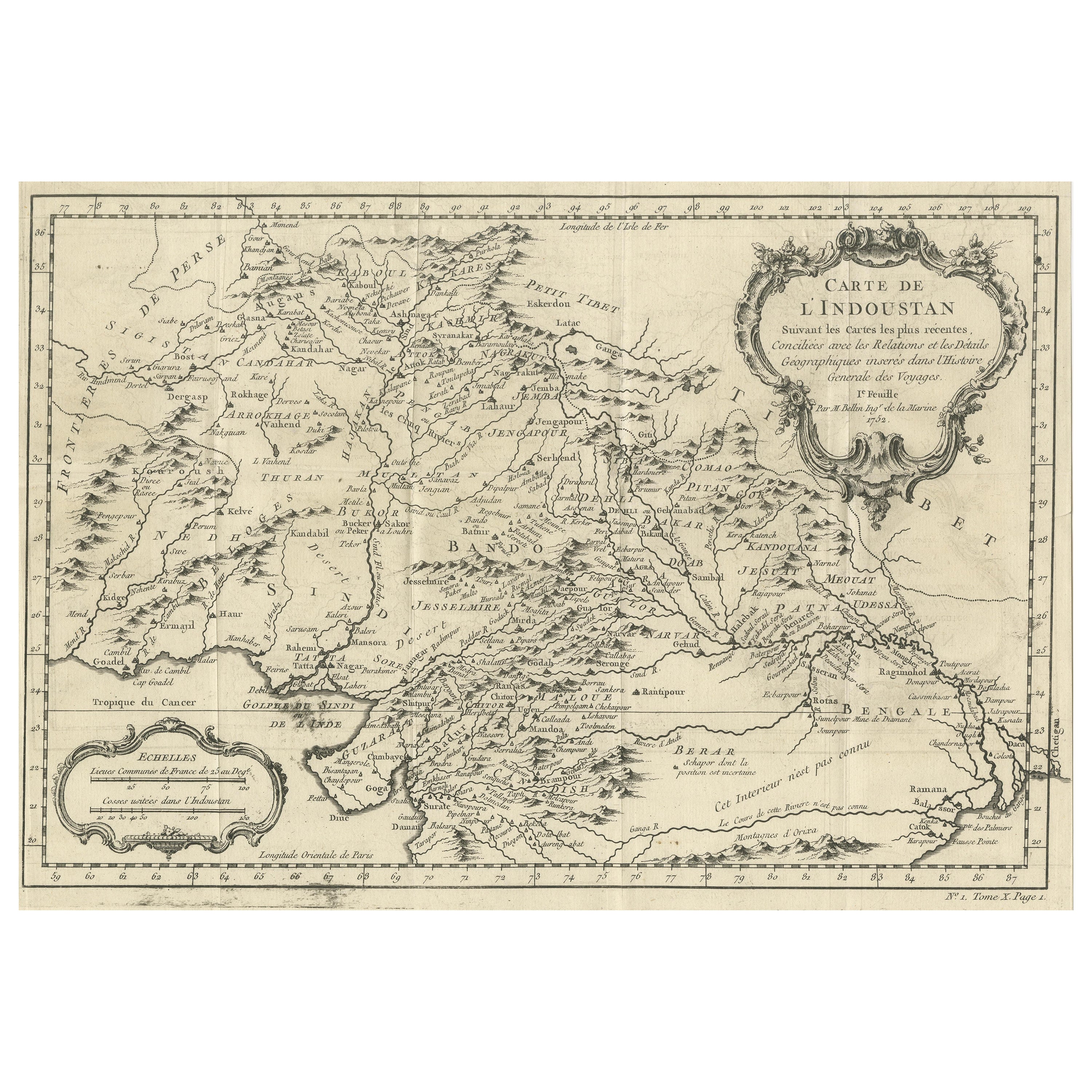
Antique Map of part of India, the Ganges and Hindustan
Located in Langweer, NL
Antique map titled 'Carte de l'Indoustan'. Original antique map of part of India, the Ganges and Hindustan. This map originates from 'Histoire Generale Des Voyages' by Antoine Franco...
Category
Antique Mid-18th Century Maps
Materials
Paper
$316 Sale Price
20% Off
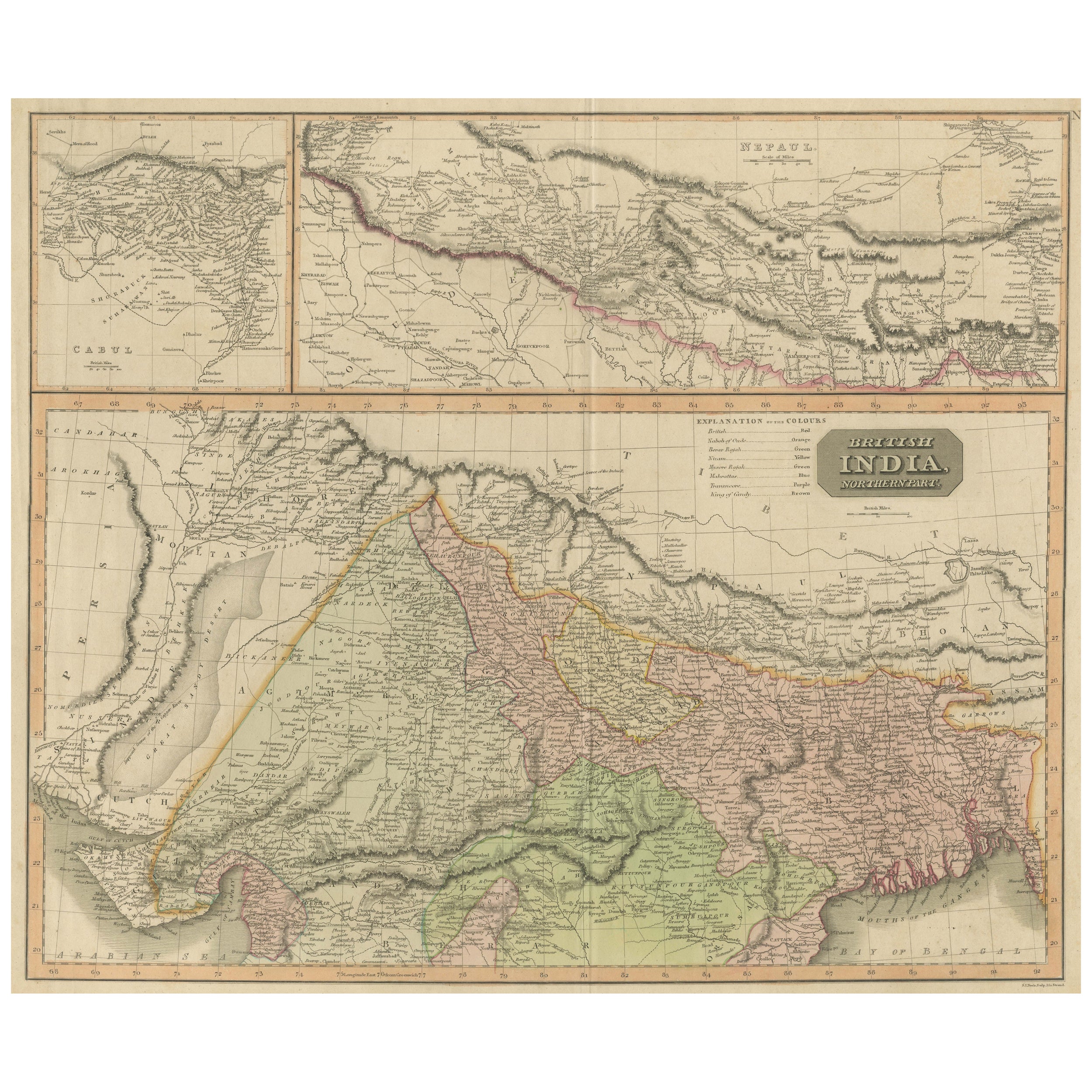
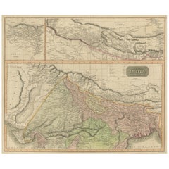
Antique Map of British India with Insets of Kabul and Nepal
Located in Langweer, NL
Antique map titled 'British India, northern part'. Large format map of the northern area of the Indian subcontinent. The map is engraved in the minimalist English style pioneered in ...
Category
Antique Early 19th Century Maps
Materials
Paper
$555 Sale Price
20% Off
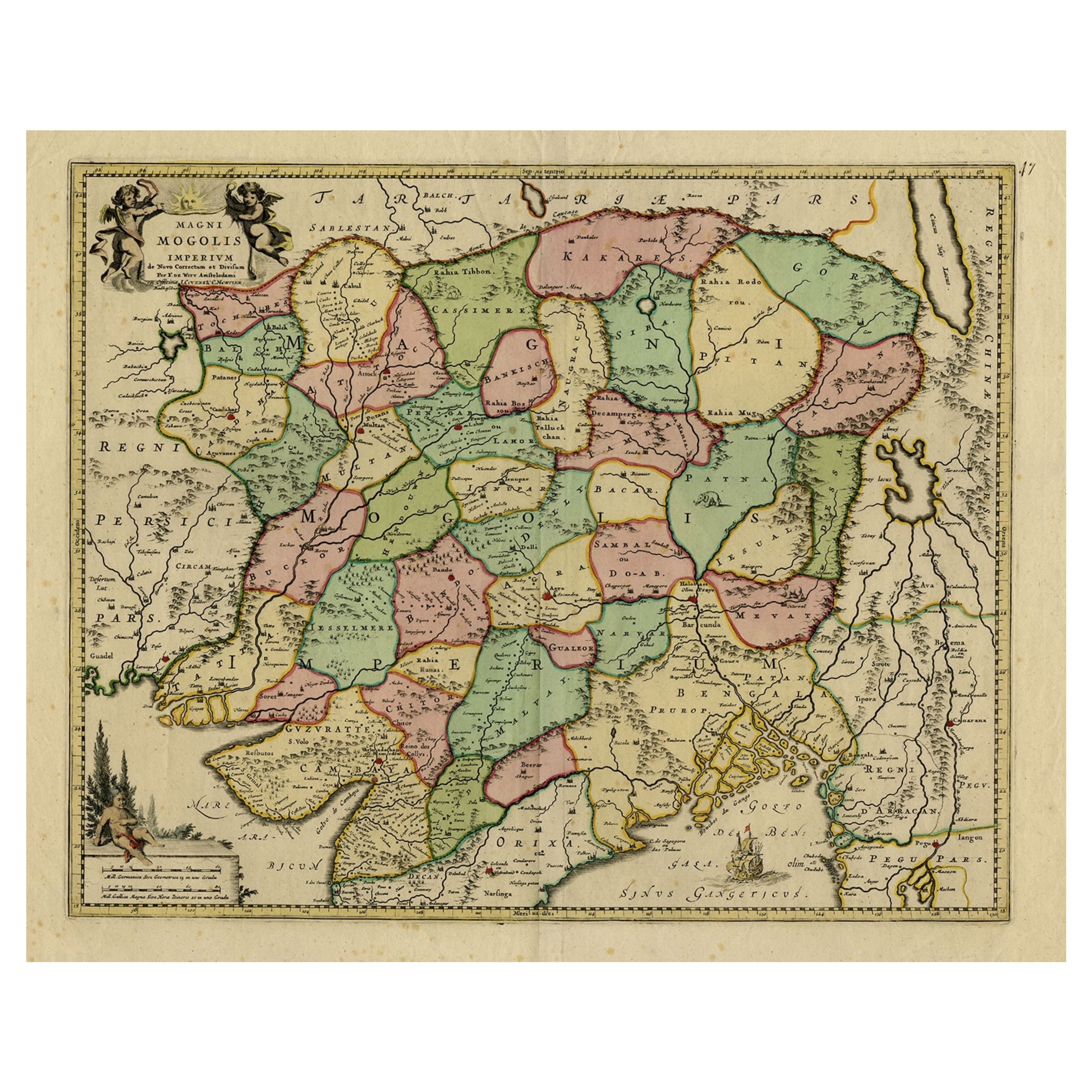
Map of Northern India & Surrounding Regions, incl Kabul, Candahar & Bhutan, 1710
Located in Langweer, NL
Antique map titled 'Magni Mogolis Imperium de Novo Correctum et Divisum Per F. de Witt Amstelodami.'
Map of Northern India and surrounding regions. This includes Kabul and Candah...
Category
Antique 1710s Maps
Materials
Paper
$1,169 Sale Price
20% Off
Antique Map of part of Central and Southern Asia
Located in Langweer, NL
Antique map titled 'Carte de la Partie Superieure de l'Inde en deca du Gange. Comprise entre la Cote du Concan et celle d'Orixa, avec l'Empire du Mogol, le Bengale, le R. d'Asham, pa...
Category
Antique Late 18th Century Maps
Materials
Paper
$373 Sale Price
20% Off
You May Also Like
Antique French Map of Asia Including China Indoneseia India, 1783
Located in Amsterdam, Noord Holland
Very nice map of Asia. 1783 Dedie au Roy.
Additional information:
Country of Manufacturing: Europe
Period: 18th century Qing (1661 - 1912)
Condition: Overall Condition B (Good Used)...
Category
Antique 18th Century European Maps
Materials
Paper

$648 Sale Price
20% Off
Antique 1803 Italian Map of Asia Including China Indoneseia India
Located in Amsterdam, Noord Holland
Antique 1803 Italian Map of Asia Including China Indoneseia India
Very nice map of Asia. 1803.
Additional information:
Type: Map
Country of Manufacturing: Europe
Period: 19th centu...
Category
Antique 19th Century European Maps
Materials
Paper

$584 Sale Price
20% Off
Ancient National Atlas of France with Marengo
Located in Alessandria, Piemonte
Ancient National Atlas of France with the department of Marengo: a rare French etching dated 1806.
ST/178.
Category
Antique Early 19th Century French Other Prints
Materials
Paper

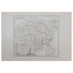
1762 Berri, Nivernois Bourbonois, Lyonois, Bourgogine, Bresse, et, Franche - Com
Located in Norton, MA
1762 Vaugondy map, entitled
"Berrl Nivernois Bourbonois Lyonois, Bourgone, Bresse, Et Franche-Comte,"
Ric.b003
About this Item
A fine Copperplate Engraving with original han...
Category
Antique 18th Century Unknown Maps
Materials
Paper
Antique Colored Belgium Map Flandria Gallica Flanders Henricus Hondius
Located in Dayton, OH
Antique hand colored map of Flanders, Belgium, engraved by Henricus Hondius.
Sans frame - 21.25” x 18”.
Category
Antique 19th Century Renaissance Maps
Materials
Paper

$280 Sale Price
20% Off
1633 Map "La Souverainete De Sedan Et De Raucourt, Et La Prevoste Ric0011
Located in Norton, MA
1653 map entitled
"La Souverainete de Sedan et de Raucourt, et la Prevoste de Doncheri,"
Ric0011
Description:
Lovely map centered on Sedan and Doncheri and the Meuze River fr...
Category
Antique 17th Century Dutch Maps
Materials
Paper

More Ways To Browse
Antiques Nepal
Antique Rug Wool Navy Blue Red
Antique Silver Platter
Boat Blueprint
Cream Plates
Vintage Art Deco Rugs
Vintage Serving Forks
Brewery Signs
Herati Rug
Gold Leaf Furniture Black
Italian Wood Console Tables
Maison Jansen Argentina
Antique Oushak
Mid Century Danish Directors Chairs
Moller 70
Wood Relief Art
Argentina Travel Poster
Century Furniture Faux Bamboo