Items Similar to Detailed 1795 Map of the Americas with Exploration Tracks and Nice Cartouche
Want more images or videos?
Request additional images or videos from the seller
1 of 7
Detailed 1795 Map of the Americas with Exploration Tracks and Nice Cartouche
$2,242.92
$2,803.6620% Off
£1,669.71
£2,087.1420% Off
€1,872
€2,34020% Off
CA$3,072.25
CA$3,840.3120% Off
A$3,417.01
A$4,271.2620% Off
CHF 1,784.26
CHF 2,230.3220% Off
MX$41,581.36
MX$51,976.7020% Off
NOK 22,787.67
NOK 28,484.5820% Off
SEK 21,370.81
SEK 26,713.5120% Off
DKK 14,250.88
DKK 17,813.6020% Off
Shipping
Retrieving quote...The 1stDibs Promise:
Authenticity Guarantee,
Money-Back Guarantee,
24-Hour Cancellation
About the Item
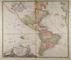
This is a very handsome and rare 1795 map of the Americas titled "Amerique ou Nouveau Continent Dressee sur les Nouvelles Relations Decouvertes et Observations" by Jean Baptiste Nolin.
The map presents a fascinating depiction of the Western Hemisphere, highlighting the knowledge and geographic understanding of the Americas at the end of the 18th century. Nolin's map was updated and augmented by L. Denis and subsequently published by Basset, adding a layer of historical interest as it represents evolving cartographic knowledge of the Americas during a period of active exploration and territorial expansion.
The map features a striking title cartouche in the upper left, which adds a decorative as well as a cultural element. The cartouche is adorned with an illustration of two Native Americans, depicted smoking a peace pipe and preparing smoke signals, set against lush, giant flowering plants. The peaceful interaction portrayed here reflects a European romanticized vision of indigenous life in the Americas. Notably, the large flowering plants conveniently obscure much of the northwest coast of North America, an area still largely unexplored at the time. This obscuration serves as a subtle reminder of the European struggle to map this region accurately.
In the lower part of the map, an inset shows an alternate perspective of the northwest coast, reflecting the Delisle/Buache theories of a Northwest Passage, which fascinated explorers and cartographers for centuries. These speculative theories regarding a potential passage connecting the Atlantic and Pacific Oceans were highly significant during this period, as they promised an advantageous trade route. The inset adds an interesting contrast between speculative geography and the broader known features of the map, highlighting the limits and ambitions of geographical exploration during the 18th century.
The map is highly detailed, with numerous place names marked throughout both North and South America. The geographic details include rivers, mountain ranges, cities, and colonial territories, reflecting the extent of European exploration and settlement. The tracks of several recent explorations are also indicated throughout the oceans, providing insight into the maritime routes that were being actively used or newly discovered at the time. These tracks reflect the growing interest in navigation, commerce, and the scientific exploration of new territories.
The inclusion of panels of French text on either side of the map provides context and descriptions of the various nations and regions depicted, offering a narrative component that enriches the visual representation. This combination of cartography with explanatory text exemplifies the educational and informative goals of 18th-century maps, which were not only practical tools for navigation but also vehicles for spreading geographical knowledge.
The map is in good overall condition, printed on watermarked paper. There is light soiling, and some worm holes have been professionally infilled, while additional minute worm holes are only visible when the map is held to light. The overall sheet size, including the French text panels on both sides, is 26.5 x 18.5 inches, making it an impressive display piece.
This map is not only a beautiful representation of the Americas at the end of the 18th century but also a significant historical artifact. It captures the spirit of an era driven by exploration, discovery, and a fascination with the unknown. For collectors, historians, or anyone with an interest in cartography, it offers a rich visual and cultural glimpse into the geographic understanding of the Americas during a critical period in history.
- Dimensions:Height: 20.67 in (52.5 cm)Width: 27.17 in (69 cm)Depth: 0.01 in (0.2 mm)
- Materials and Techniques:Paper,Engraved
- Period:1790-1799
- Date of Manufacture:1795
- Condition:The map is in good overall condition, printed on watermarked paper. There is light soiling, and some worm holes have been professionally infilled, while additional minute worm holes are only visible when the map is held to light. Ready to be framed.
- Seller Location:Langweer, NL
- Reference Number:Seller: BHZ92781stDibs: LU3054342600782
About the Seller
5.0
Recognized Seller
These prestigious sellers are industry leaders and represent the highest echelon for item quality and design.
Platinum Seller
Premium sellers with a 4.7+ rating and 24-hour response times
Established in 2009
1stDibs seller since 2017
2,510 sales on 1stDibs
Typical response time: <1 hour
- ShippingRetrieving quote...Shipping from: Langweer, Netherlands
- Return Policy
Authenticity Guarantee
In the unlikely event there’s an issue with an item’s authenticity, contact us within 1 year for a full refund. DetailsMoney-Back Guarantee
If your item is not as described, is damaged in transit, or does not arrive, contact us within 7 days for a full refund. Details24-Hour Cancellation
You have a 24-hour grace period in which to reconsider your purchase, with no questions asked.Vetted Professional Sellers
Our world-class sellers must adhere to strict standards for service and quality, maintaining the integrity of our listings.Price-Match Guarantee
If you find that a seller listed the same item for a lower price elsewhere, we’ll match it.Trusted Global Delivery
Our best-in-class carrier network provides specialized shipping options worldwide, including custom delivery.More From This Seller
View AllAntique Map of South American, The West Indies & Most of Africa, Ca.1775
Located in Langweer, NL
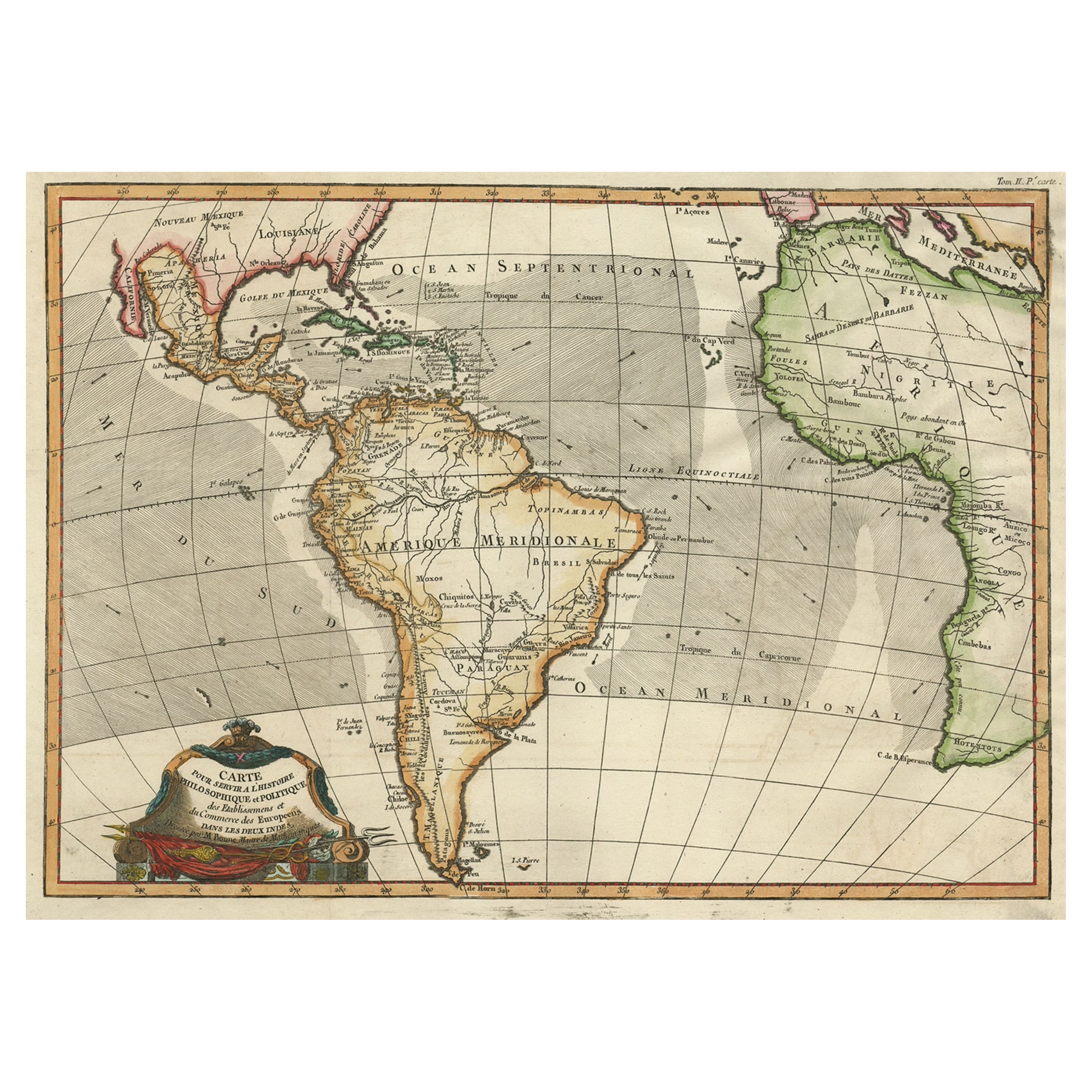
Antique map titled 'Carte pour Servir a l' Histoire Philosophique et Politique des Etablissemens et du Commerce des Europeens dans les deux Indes'.
This map is roughly centered o...
Category
Antique 1770s Maps
Materials
Paper
$728 Sale Price
20% Off
Antique Map of South America by Keizer & de Lat, 1788
Located in Langweer, NL
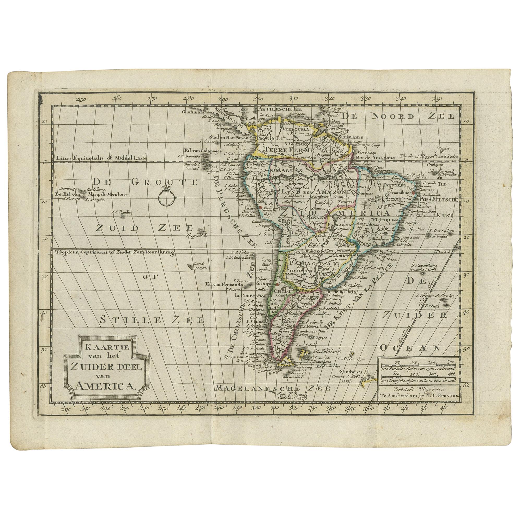
Antique map titled 'Kaartje van het Zuider-Deel van America'. Uncommon original antique map of South America. This map originates from 'Nieuwe Natuur- Geschied- en Handelkundige Zak-...
Category
Antique Late 18th Century Maps
Materials
Paper
$383 Sale Price
20% Off
Antique Map of South America by Tirion 'circa 1765'
Located in Langweer, NL
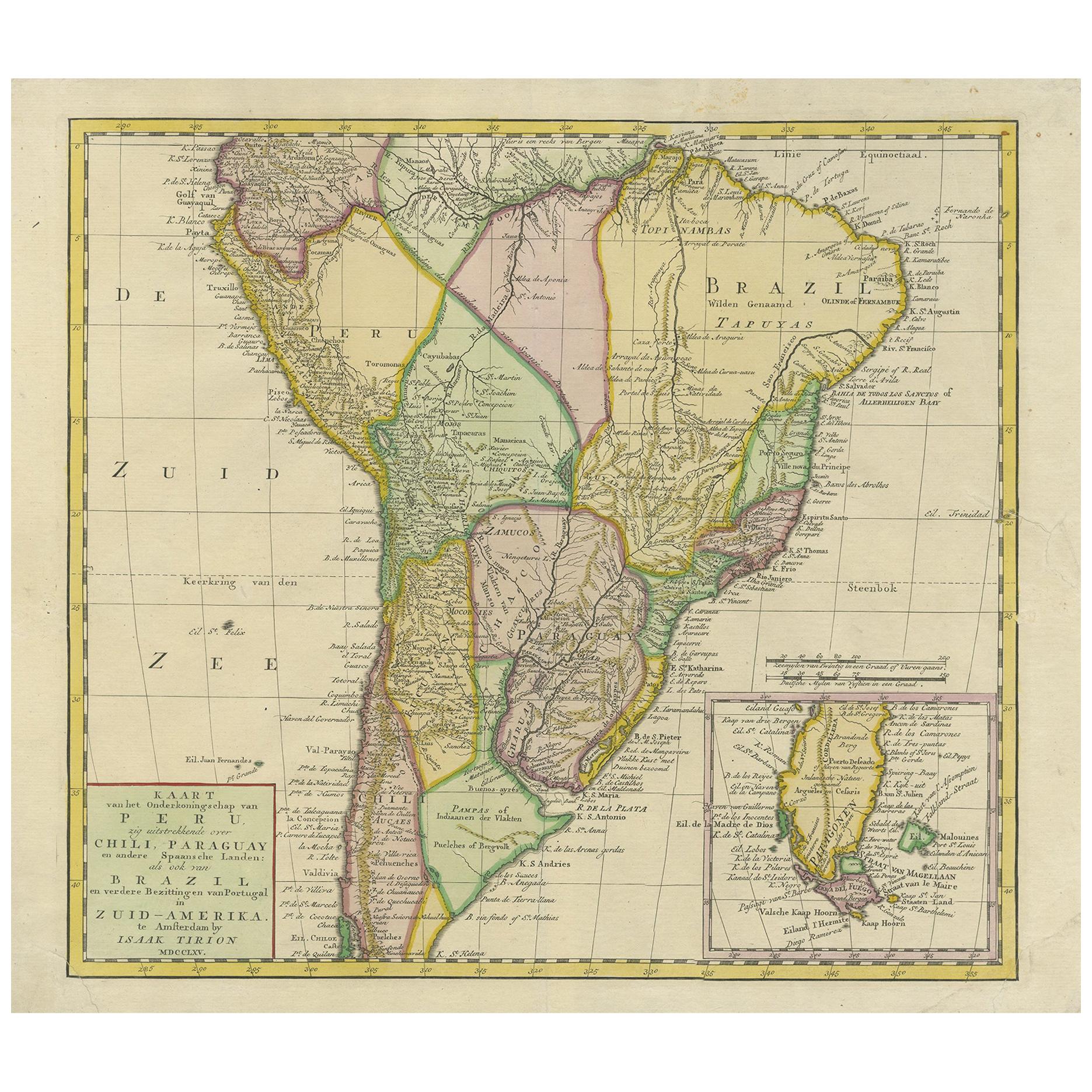
Antique map titled 'Kaart van het Onderkoningschap van Peru, zig uitstrekkende over Chili, Paraguay en andere Spaansche Landen: als ook van Brazil en verdere Bezittingen van Portugal...
Category
Antique Mid-18th Century Maps
Materials
Paper
$479 Sale Price
20% Off
Antique Map of South America by De la Harpe '1780'
Located in Langweer, NL
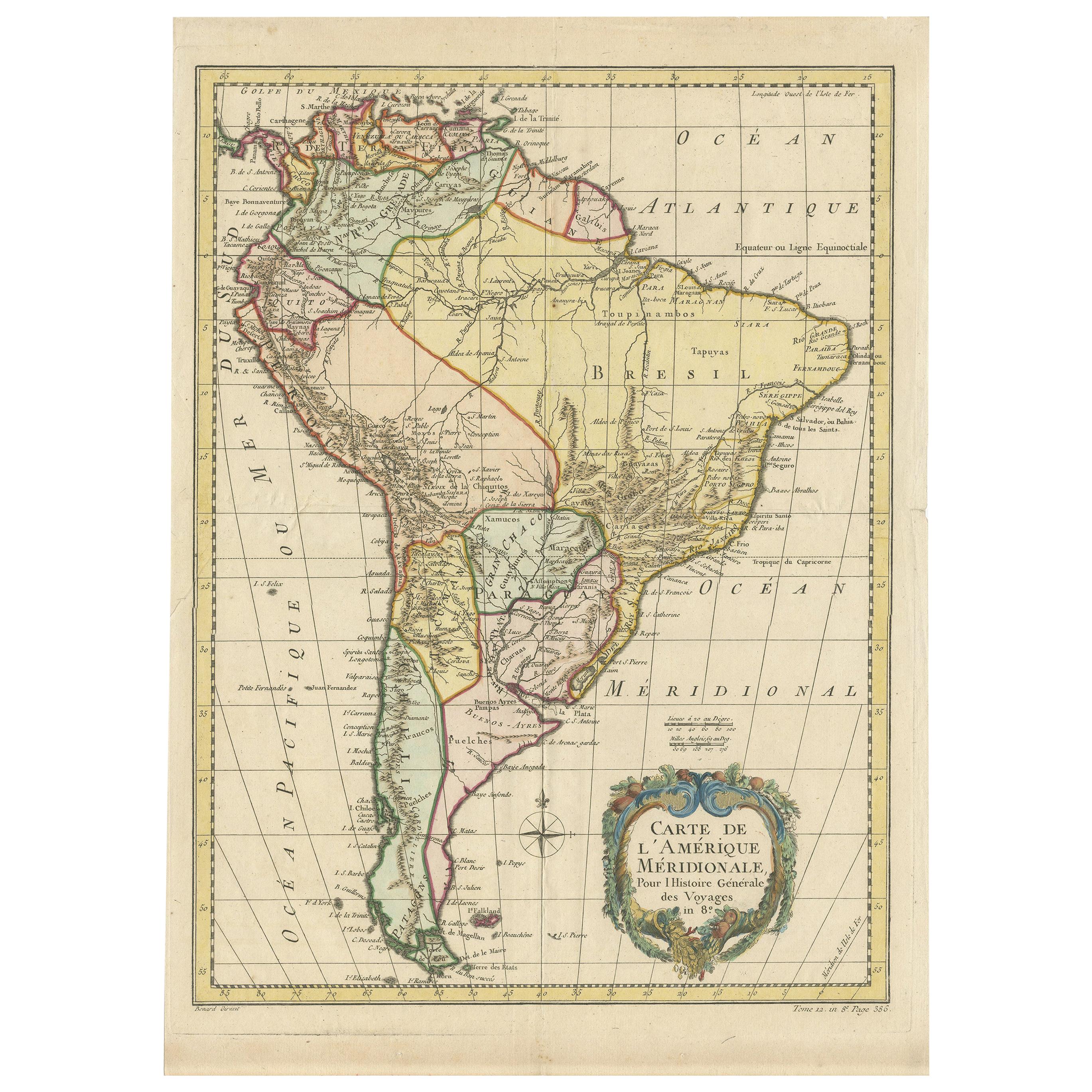
Antique map titled 'Carte de l'Amerique Méridionale'. Original antique map of South America. Note the 'Laguna de Xarayes' is illustrated as the source of the Paraguay river. The laguna is now known as Pantanal, world's largest tropical wetland area. This map orginates from 'Abrégé de l'histoire générale des Voyages' by J.F. de la Harpe.
Category
Antique Late 18th Century Maps
Materials
Paper
$479 Sale Price
20% Off
Antique Map of South America by J. Cook, 1775
Located in Langweer, NL
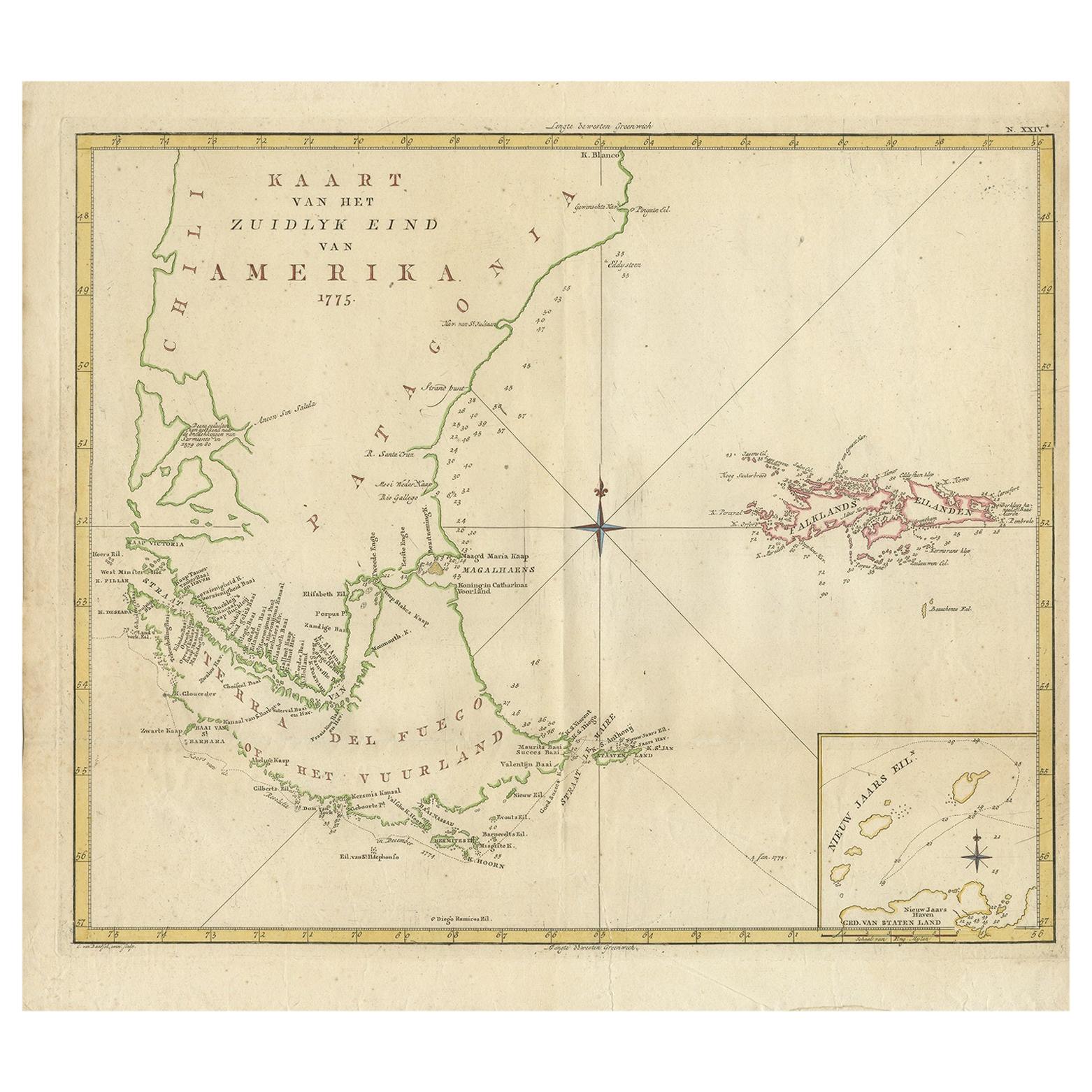
Antique map titled 'Kaart van het Zuidlyk Eind van Amerika'. Map of the sourthern part of South America, focusing on Cook's tracks around the Cape Horn and T...
Category
Antique Mid-18th Century Maps
Materials
Paper
$814 Sale Price
20% Off
Mythical Atlantis Restored - A 1694 Map of the Americas and Ancient Geography
Located in Langweer, NL
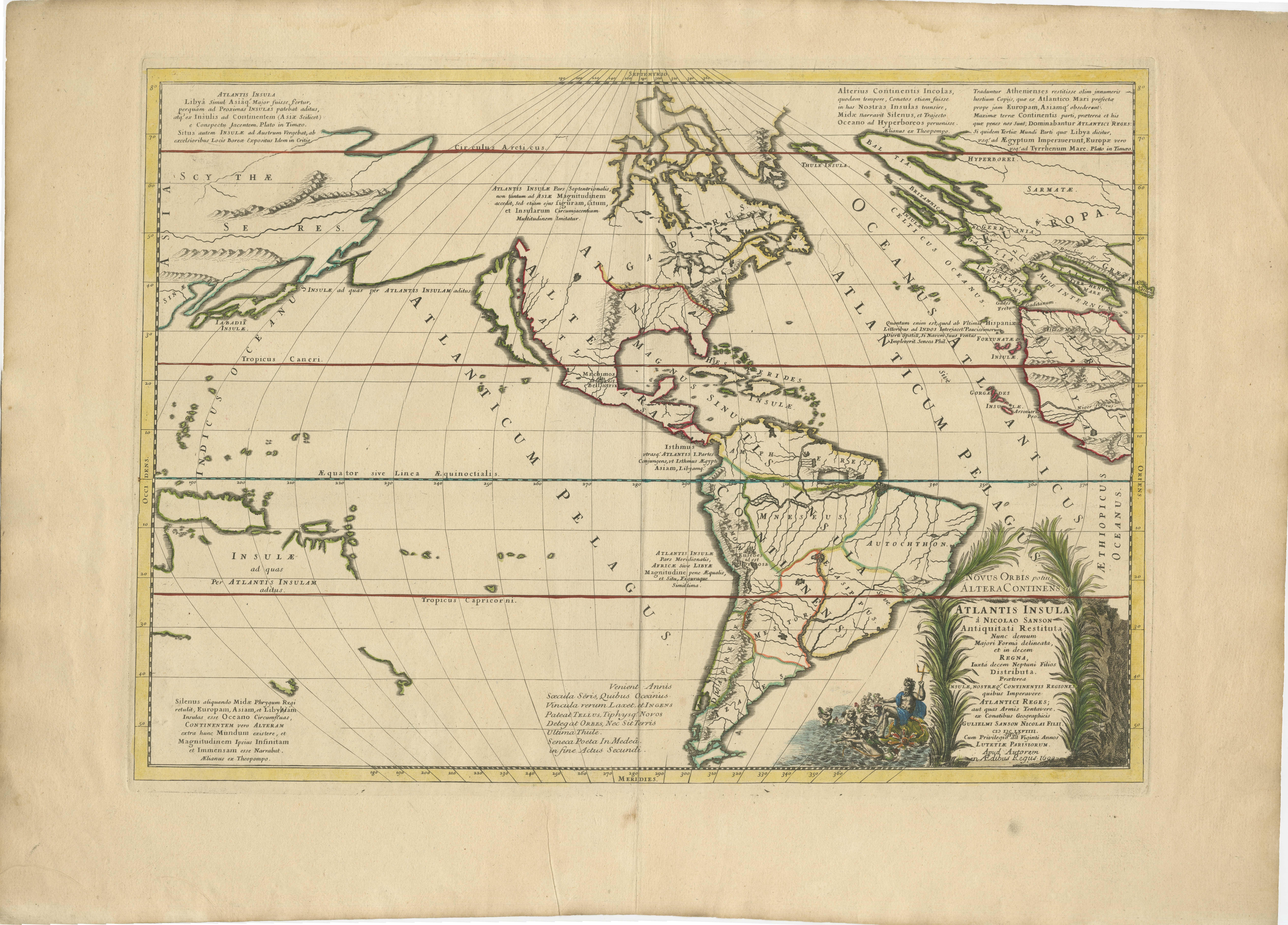
This rare and fascinating map, titled "Atlantis Insula a Nicolao Sanson Antiquitati Restituta" by Guillaume Sanson, presents an unusual interpretation of the Western Hemisphere, comb...
Category
Antique 1690s Maps
Materials
Paper
You May Also Like
North & South America: A 17th Century Hand-colored Map by Jansson & Goos
By Johannes Janssonius
Located in Alamo, CA
A 17th century hand-colored map of North & South America entitled "Americae Descriptio" by the cartographer Johannes Jansson, published in Jansson's Atlas Minor in Amsterdam in 1628....
Category
Antique 1620s Dutch Maps
Materials
Paper
Original Antique Map of South America. C.1780
Located in St Annes, Lancashire
Great map of South America
Copper-plate engraving
Published C.1780
Two small worm holes to left side of map
Unframed.
Category
Antique Early 1800s English Georgian Maps
Materials
Paper
The Americas - Vintage Map - 18th century
Located in Roma, IT
The Americas is a very beautiful vintage map realized in the 18th century by an Italian cartographer.
Very good conditions, on the right side the inscript...
Category
18th Century Figurative Prints
Materials
Paper, Etching
North and South America: An 18th Century Hand-colored Map by Johann Homann
By Johann Baptist Homann
Located in Alamo, CA
This early 18th century hand-colored copperplate map of North and South America entitled "Totius Americae Septentrionalis Et Meridionalis Novissima Repraesentatio" was created by Johann Baptist Homann and published in Nuremberg, Germany, between 1710 and 1731. The map details cities, forts, mountains, forests and lakes, as well as districts. There is a decorative cartouche in the lower left which depicts a volcano, scenes representing the people in their native costumes, as well as animals and plants of the Americas. A village is seen in the background on the left. A second smaller decorative cartouche in the upper right includes text and a series of allegorical figures. A large portion if the north central and western portions of North America is left without detail, because the region was largely unexplored at the time this map was created. The map also shows "Terra Esonis Incognita", representing a mythical continuous land bridge from North America to Asia, a northwest passage. The map preceded the French and...
Category
Early 18th Century Old Masters Landscape Prints
Materials
Engraving
North & South America: A 17th Century Hand-colored Map by Jansson & Goos
By Johannes Jansson
Located in Alamo, CA
A 17th century hand-colored map of North & South America entitled "Americae Descriptio" by the cartographer Johannes Jansson, published in Jansson's Atlas Minor in Amsterdam in 1628....
Category
1620s Landscape Prints
Materials
Engraving
Original Antique Map of The Western Hemisphere by Dower, circa 1835
Located in St Annes, Lancashire
Nice map of the Western Hemisphere
Drawn and engraved by J.Dower
Published by Orr & Smith. C.1835
Unframed.
Free shipping
Category
Antique 1830s English Maps
Materials
Paper
More Ways To Browse
Pacific Northwest Furniture
Antique Smoking Set
Red Retro Dining Set
Antique Silver Glasses Case
Carlo Scarpa 1934 Chairs
Christofle Marly
1900 Antique Chairs
Glass Table Italian Round
Mid Century Colonial
Alvar Aalto Poster
Geometric Metal Table
Post Modern High Chairs
United Nations
Vintage Vine Rug
Cancel An Order
Antique Framing Square
Silver Metal Chair
Swedish Kilim
