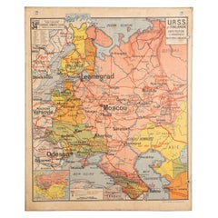
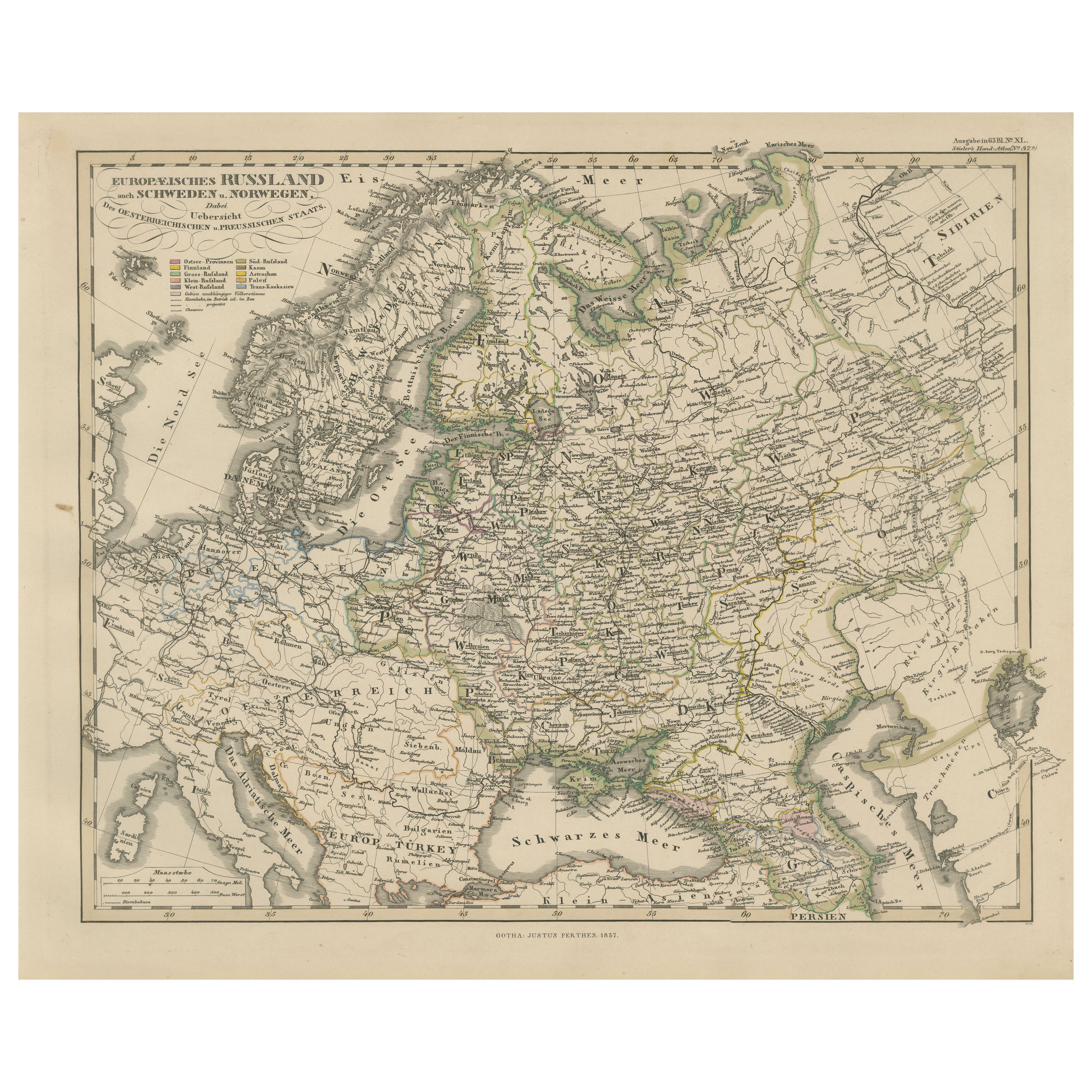
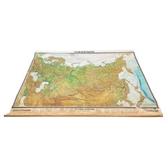
French School Map of Soviet Union and Finland, 1940s
View Similar Items


1 of 20
French School Map of Soviet Union and Finland, 1940s
$350List Price
About the Item
- Dimensions:Height: 46.75 in (118.75 cm)Width: 38.5 in (97.79 cm)Depth: 0.25 in (6.35 mm)
- Materials and Techniques:
- Place of Origin:
- Period:
- Date of Manufacture:circa 1940s
- Condition:Wear consistent with age and use. Some age and water spots. Map cannot be rolled for transport.
- Seller Location:Austin, TX
- Reference Number:Seller: T1161stDibs: LU869016427071
Authenticity Guarantee
In the unlikely event there’s an issue with an item’s authenticity, contact us within 1 year for a full refund. DetailsMoney-Back Guarantee
If your item is not as described, is damaged in transit, or does not arrive, contact us within 7 days for a full refund. Details24-Hour Cancellation
You have a 24-hour grace period in which to reconsider your purchase, with no questions asked.Vetted Professional Sellers
Our world-class sellers must adhere to strict standards for service and quality, maintaining the integrity of our listings.Price-Match Guarantee
If you find that a seller listed the same item for a lower price elsewhere, we’ll match it.Trusted Global Delivery
Our best-in-class carrier network provides specialized shipping options worldwide, including custom delivery.You May Also Like
Original Sovietic War phone 1940s
Located in Byron Bay, NSW
Original Sovietic War phone 1940s
Category
Vintage 1940s European Historical Memorabilia
Materials
Metal

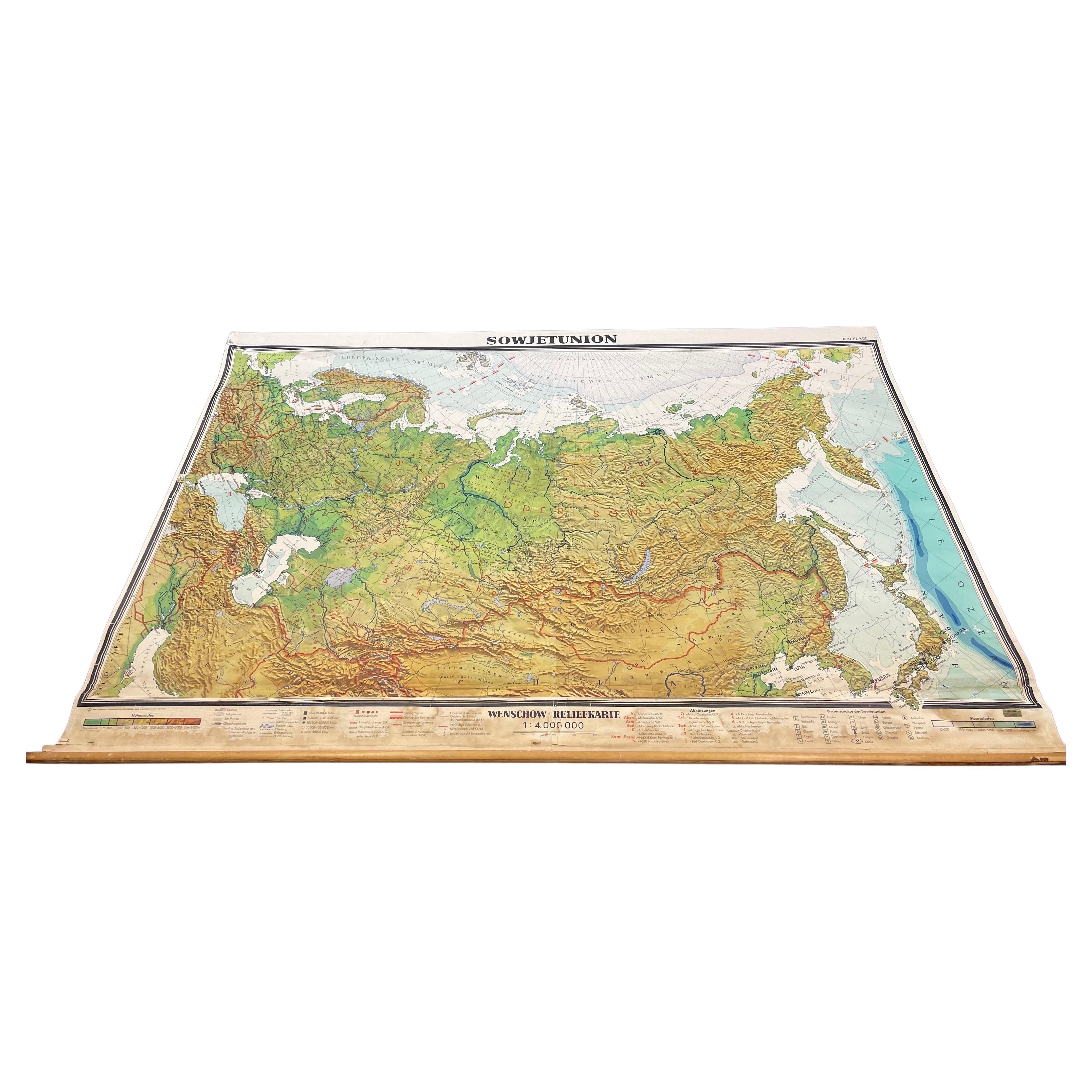
Massive Vintage Wall Map of the Soviet Union 'Sowjetunion' by Karl Wenschow
By Denoyer-Geppert
Located in San Diego, CA
A massive vintage wall map of the Soviet Union (Sowjetunion) published by Karl Wenschow in Munich, Germany, circa 1950s. The map was distributed by De...
Category
Mid-20th Century American Maps
Materials
Paper, Wood
$540 Sale Price
20% Off
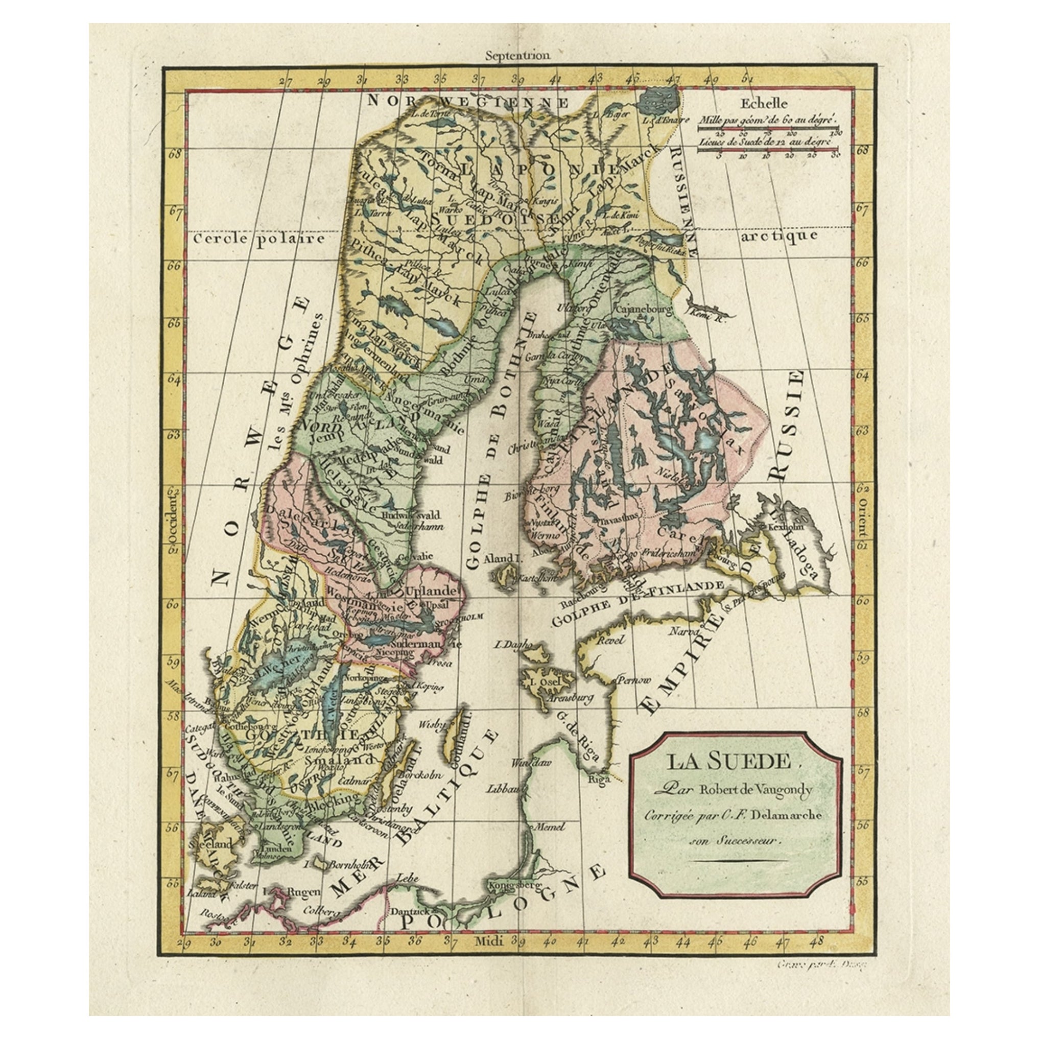
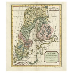
Decorative Antique Map of Sweden and Part of Finland, 1806
Located in Langweer, NL
Antique map titled 'La Suede.'
Decorative map of Sweden and part of Finland by Robert de Vaugondy, revised and published by Delamarche. Source unknown, to be determined.
Artists and Engravers: Made by 'Charles Francois Delamarche' after an anonymous artist. Charles Francois Delamarche (1740-1817) founded the important and prolific Paris based Maison Delamarche map publishing firm in the late 18th century. A lawyer by trade Delamarche entered the map business with the acquisition from Jean-Baptiste Fortin of Robert de Vaugondy's map plates...
Category
Antique Early 1800s French Maps
Materials
Paper
1940s Large Medical School Anatomical Heart Model
Located in Montclair, NY
A circa 1940s to mid 1950s large anatomical model of the human heart used to teach anatomy in medical school. Hand painted in multi color mat enamel with all the chambers and parts o...
Category
Vintage 1940s North American Mid-Century Modern Models and Miniatures
Materials
Plaster, Wood, Rubber

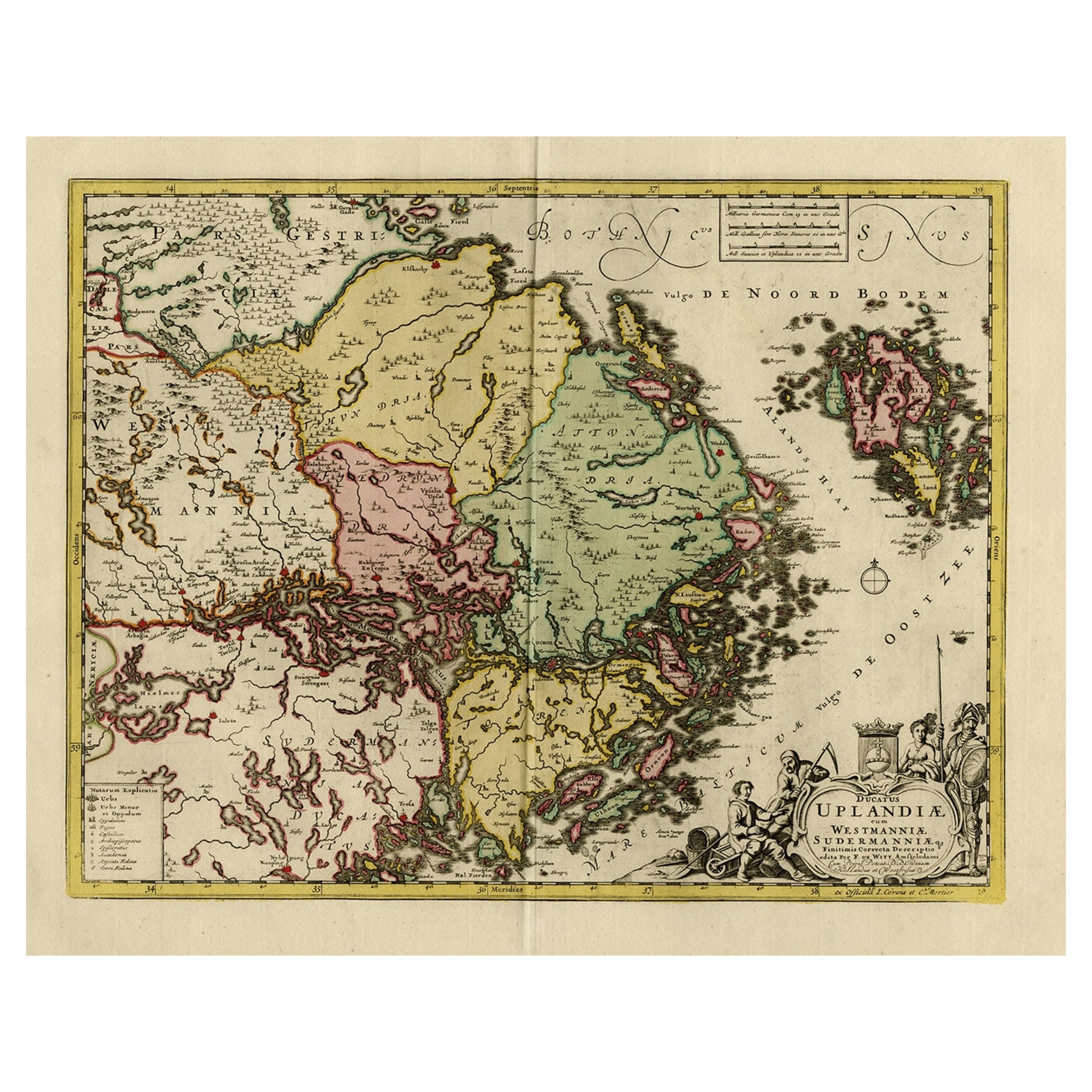
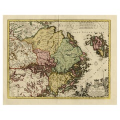
Original and Decorative Antique Engraved Map of Finland and Sweden, ca.1720
Located in Langweer, NL
Antique map titled 'Ducatus Uplandiae cum Westmanniae Sudermanniae (..)'
This map shows parts of Finland and Sweden. Originally published by Frederick de Wit in the late 1600's. ...
Category
Antique 1720s Maps
Materials
Paper
$1,386 Sale Price
20% Off
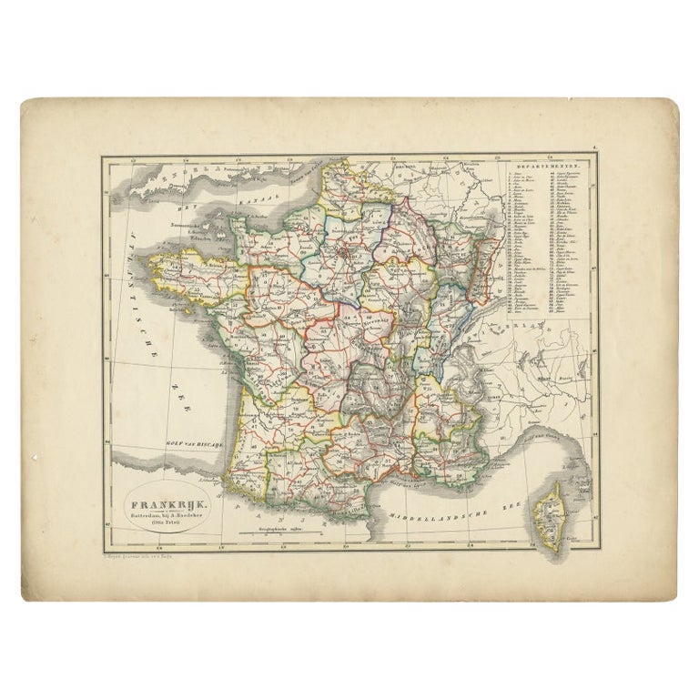
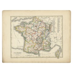
Antique Map of France from an Old Dutch School Atlas, 1852
Located in Langweer, NL
Antique map titled 'Frankrijk'. Map of France. This map originates from 'School-Atlas van alle deelen der Aarde' by Otto Petri. Artists and Engravers: Published by A. Baedeker (Otto ...
Category
Antique 19th Century Maps
Materials
Paper
$114 Sale Price
20% Off